The best gravel rides around Ceto
4.5
(23)
421
riders
20
rides
Gravel biking around Ceto, located in Italy's Val Camonica, offers a diverse landscape for cyclists. The region is characterized by its alpine environment, with routes winding through picturesque forests, alongside the Oglio River, and across varied terrain including "strade bianche" and dirt roads. Mountainous surroundings provide opportunities for significant climbs and descents, while the valley itself offers scenic paths.
Best gravel bike trails around Ceto
- The most popular gravel bike trail is Montecchio Roman Bridge – Oglio Cycle Path loop…
Last updated: May 24, 2026
4.8
(13)
144
riders
81.4km
05:04
710m
710m
Hard gravel ride. Very good fitness required. Mostly paved surfaces. Suitable for all skill levels.
10
riders
71.0km
06:41
2,650m
2,650m
Hard gravel ride. Very good fitness required. Mostly paved surfaces. Suitable for all skill levels.

Sign up for free
4.0
(3)
40
riders
52.6km
03:24
540m
540m
Hard gravel ride. Very good fitness required. Mostly paved surfaces. Suitable for all skill levels.
5.0
(2)
27
riders
30.0km
02:00
310m
320m
Moderate gravel ride. Good fitness required. Mostly paved surfaces. Suitable for all skill levels.
5.0
(1)
23
riders
96.5km
07:36
2,910m
2,920m
Hard gravel ride. Very good fitness required. Mostly paved surfaces. Suitable for all skill levels.
Get access to more routes and recommendations from other explorers.
Sign up for free
Already have an account?
Our route recommendations are based on thousands of hikes, rides, and runs completed by other people on komoot.
Start today with a free account
Your next adventure awaits.
Login or Signup




Tips from the Community

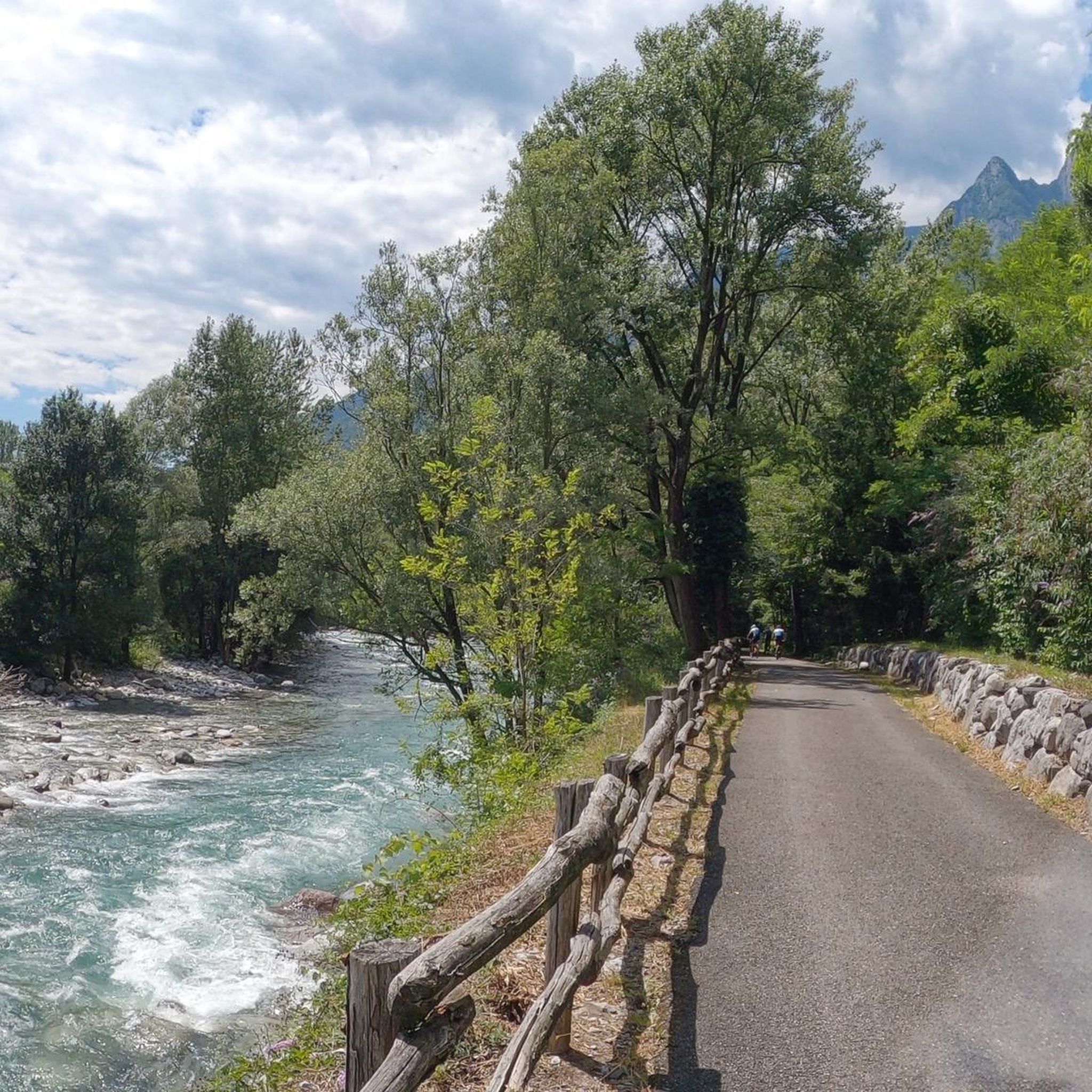
Nice, historic, relaxing...a beautiful ride along the Oglio cycle path.
0
0

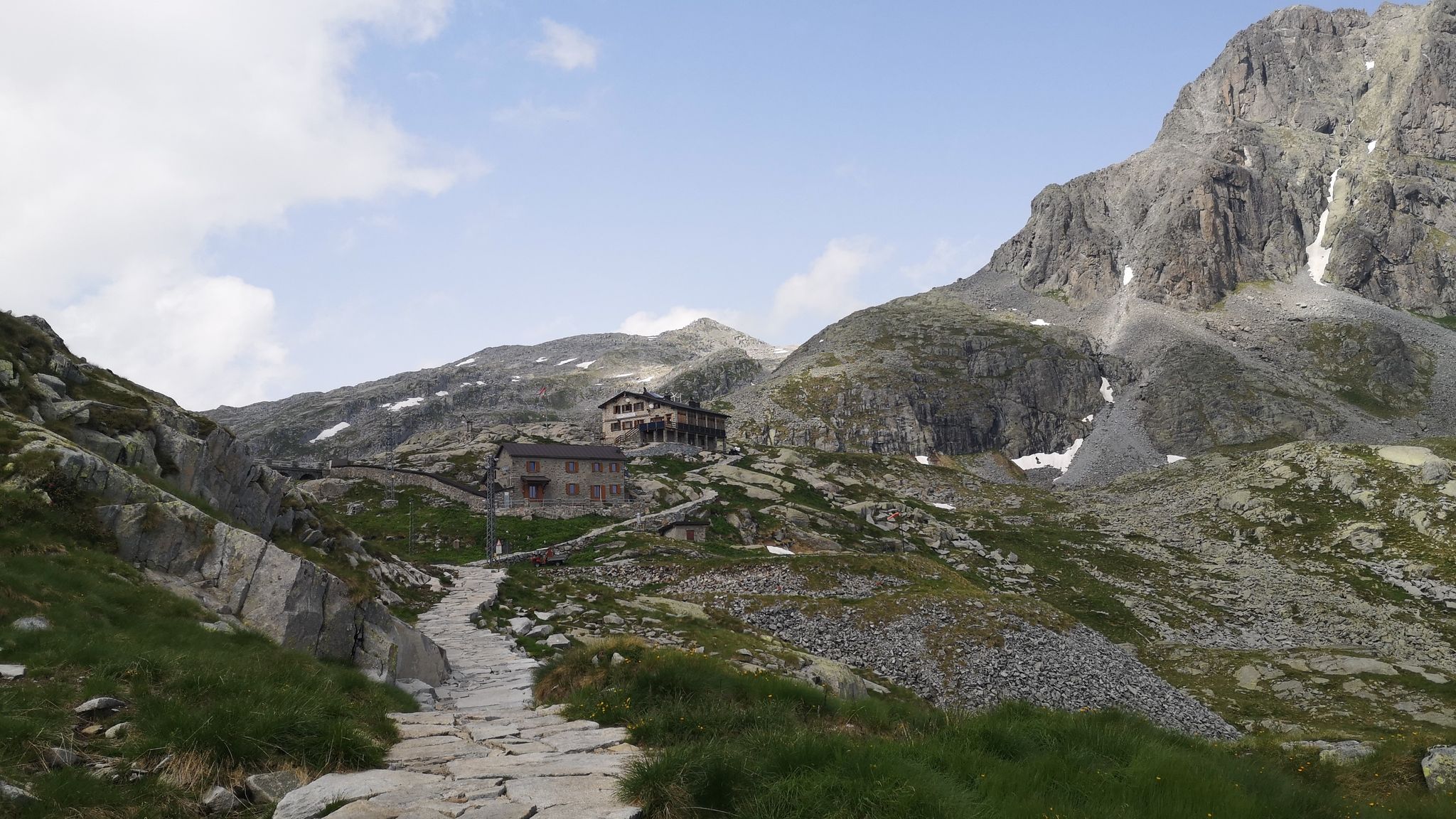
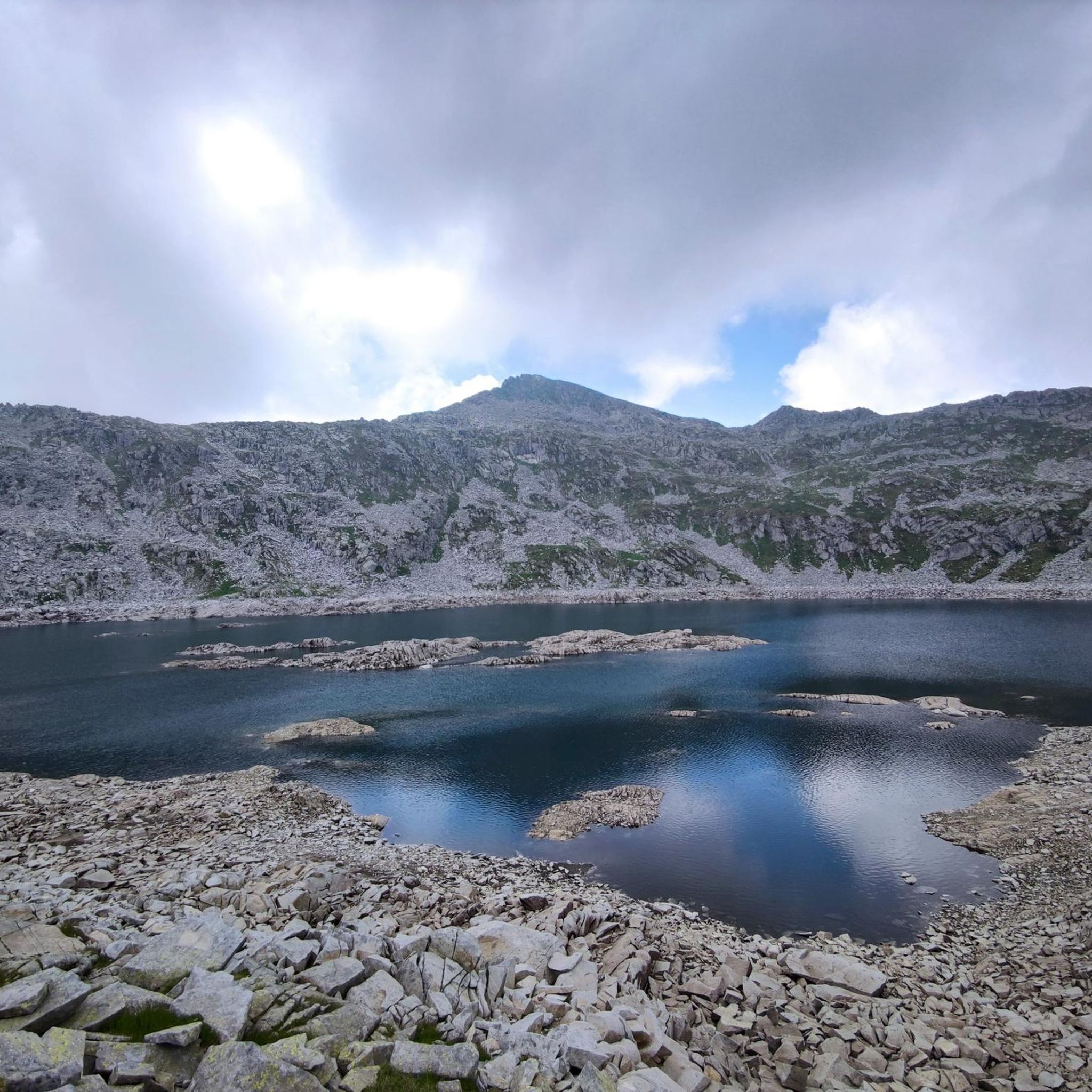
The Campelli Pass is an Alpine pass at approximately 1,892 meters above sea level that connects the Scalve Valley (province of Bergamo) with the Camonica Valley (province of Brescia). It is a popular hiking destination for its scenic beauty and the variety of available itineraries. 🏔️ Main Features Location: Between Schilpario (BG) and Cerveno (BS) Elevation: approximately 1,892 m View: Spectacular view of Cimon della Bagozza and the Piccole Dolomiti Scalvine Access: From Schilpario – Fondi: winter route for snowshoeing or ski mountaineering From Schilpario – Baracca Rossa: shorter and more scenic summer route From Ono San Pietro (BS): longer and more challenging route 🚶♂️ Recommended Activities Summer Hiking: Well-marked trails, also suitable for families Winter Snowshoeing: Safe and picturesque itineraries in the snow Mountain Biking: Technical and scenic routes, with stops at the Campione Refuge and Campelli Lake 📍 Nearby Points of Interest Campione Refuge: Not far from the pass, offers refreshments and overnight accommodations Campelli Lake Campelli: a small Alpine lake, ideal for a break Madonnina dei Campelli: a panoramic and spiritual point along the route
0
0

Stone bridge with nice views around. The river was brown due to heavy rain some hours earlier.
0
0

To reach Montecchio di Darfo, starting from Boario, you cross the so-called "Roman Bridge," also known as the Montecchio Bridge. It is a scenic 24-meter, single-span bridge, built from blocks of granite and Simona stone in 1686, over the remains of an older bridge that connected the medieval castle on Monticolo to the opposite bank of the river. It has been recognized as a national monument. (from valcamonicaaccessibile.it)
0
0
To reach Montecchio di Darfo, starting from Boario, you cross the so-called "Roman bridge." It is a scenic 24-meter, single-span bridge, built from blocks of granite and Simona stone in 1686, over the remains of an older bridge that connected the medieval castle on Monticolo to the opposite bank of the river. It has been recognized as a national monument.
0
0

A very pleasant climb from Val di Scalve to Borno. Beautiful and not particularly challenging. 😊
1
0

Perfect for driving. Beautiful panorama.
0
1

Bridge of Peace
0
0
Frequently Asked Questions
How many gravel bike trails are available around Ceto?
Ceto offers a wide selection of gravel biking routes, with over 20 trails available. These routes cater to various preferences, ranging from moderate to challenging alpine circuits.
What kind of terrain can I expect on gravel bike trails in Ceto?
The terrain around Ceto is incredibly diverse, featuring a mix of 'strade bianche' (white roads), dirt roads, and forest trails. You'll find routes winding through picturesque forests, alongside the scenic Oglio River, and across varied alpine landscapes. Expect a blend of surfaces perfect for gravel bikes.
What do other cyclists say about the gravel biking experience in Ceto?
The gravel biking routes in Ceto are highly regarded by the komoot community, boasting an average rating of 4.7 stars from over 25 reviews. More than 500 gravel bikers have explored the area using komoot, often praising the diverse terrain and stunning natural beauty.
Are there any circular gravel bike routes around Ceto?
Yes, many of the gravel routes around Ceto are designed as loops, allowing you to start and finish in the same location. For example, the challenging Passo Crocedomini – Croce Domini Pass loop from Passo di Crocedomini and the Montecchio Roman Bridge – Oglio Cycle Path loop from Capo di Ponte are popular circular options.
Are the gravel trails around Ceto suitable for all skill levels?
While Ceto is known for its challenging alpine routes, with 18 difficult trails, there are also 4 moderate options available. This means you can find routes suitable for different ability levels, from those seeking demanding climbs to more accessible valley paths.
What natural features or landmarks can I see while gravel biking near Ceto?
Ceto's gravel trails offer access to stunning natural features. You can encounter impressive mountain passes like Campelli Pass, and enjoy views from peaks such as Mount Campioncino. The region also features beautiful waterfalls like the Valbona Stream Waterfall and the Malga Breguzzo Waterfall, often found along routes that follow riverbanks.
Are there any routes that pass by historical or cultural sites?
Absolutely. The region is rich in history. You can cycle through the Rock Art Natural Reserve of Ceto, Cimbergo, and Paspardo, a UNESCO World Heritage site with ancient rock engravings. Routes like the Montecchio Roman Bridge – Oglio Cycle Path loop from Capo di Ponte will take you past historical sites and along the Oglio River, offering a blend of physical activity and cultural immersion.
Can I find routes with significant climbs and panoramic views?
Yes, Ceto is surrounded by mountainous terrain, providing ample opportunities for routes with significant uphill climbs and rewarding descents. Trails like the Croce di Salven Pass – Campelli Pass loop from Ceto - Cerveno feature over 2,600 meters of elevation gain, leading to spectacular panoramic views of the Scalve and Camonica valleys from mountain passes and huts like the Cimon della Bagozza Hut.
Is it possible to reach Ceto by public transport with a bike?
While specific public transport options for bikes can vary, Val Camonica generally has regional train and bus services. It's advisable to check with local transport providers for their bike carriage policies and schedules when planning your trip to Ceto.
Are there any family-friendly gravel bike trails near Ceto?
For a more relaxed, family-friendly option, consider routes that follow the Oglio River. The By bike along the Oglio – Cividate-Breno Cycle Tunnel loop from Ceto - Cerveno is a moderate trail with less elevation gain, offering a pleasant experience for families along dedicated paths that minimize asphalt.
What is the best season for gravel biking in Ceto and Val Camonica?
The best time for gravel biking in Ceto and Val Camonica is generally from spring through autumn. During these seasons, the weather is more favorable, and mountain passes are typically clear of snow, allowing access to the full range of trails. Summer offers warmer temperatures, while spring and autumn provide cooler rides and vibrant scenery.
Are there any specific permits required for gravel biking in the Val Camonica area near Ceto?
Generally, no specific permits are required for gravel biking on public roads and marked trails in Val Camonica. However, if you plan to venture into protected areas or private lands, it's always best to check local regulations or signage. The Rock Art Natural Reserve is accessible, but always respect designated paths.
Where can I find places to eat or stay that are bike-friendly in Ceto?
Ceto and the surrounding villages in Val Camonica offer various mountain huts (rifugi) and local establishments that cater to cyclists. These provide opportunities for rest, local food, and a glimpse into the region's traditional life. Look for accommodations and cafes in charming villages along your chosen routes for a welcoming experience.
Are there any routes that offer a mix of challenging climbs and historical exploration?
Yes, the Passo del Vivione – Vivione Pass loop from Lozio is a challenging alpine circuit that combines significant elevation gains with the opportunity to explore the high Val Camonica alpine nature, often passing through areas with historical significance or traditional mountain life.
Most popular attractions around Ceto

Get inspired with the komoot mobile app


Explore more
Browse the best Gravel rides in other regions.
