The best road cycling routes around Capo Di Ponte
4.5
(63)
2,944
riders
48
rides
Road cycling around Capo Di Ponte is characterized by routes that navigate river valleys and ascend mountain passes within the Italian Alps. The region features significant elevation changes, with routes often climbing several hundred meters, offering challenging terrain for road cyclists. The landscape includes riverine paths, such as those along the Oglio, and high-altitude passes like Crocedomini and Vivione.
Best road cycling routes around Capo Di Ponte
- The most popular road cycling route is By bike along the Oglio –…
Last updated: September 25, 2026
4.8
(11)
409
riders
103km
06:01
2,390m
2,390m
Hard road ride. Very good fitness required. Some segments of this route may be unpaved and difficult to ride.
5.0
(1)
166
riders
147km
06:22
1,180m
1,180m
Hard road ride. Very good fitness required. Mostly well-paved surfaces and easy to ride.

3.6
(5)
141
riders
56.0km
03:14
1,080m
1,080m
Hard road ride. Very good fitness required. Some segments of this route may be unpaved and difficult to ride.
4.5
(8)
211
riders
82.2km
04:46
1,930m
1,930m
Hard road ride. Very good fitness required. Mostly well-paved surfaces and easy to ride.
61
riders
40.4km
01:54
450m
450m
Moderate road ride. Good fitness required. Mostly well-paved surfaces and easy to ride.
Get access to more routes and recommendations from other explorers.
Already have an account?
Our route recommendations are based on thousands of hikes, rides, and runs completed by other people on komoot.
Start today with a free account
Your next adventure awaits.
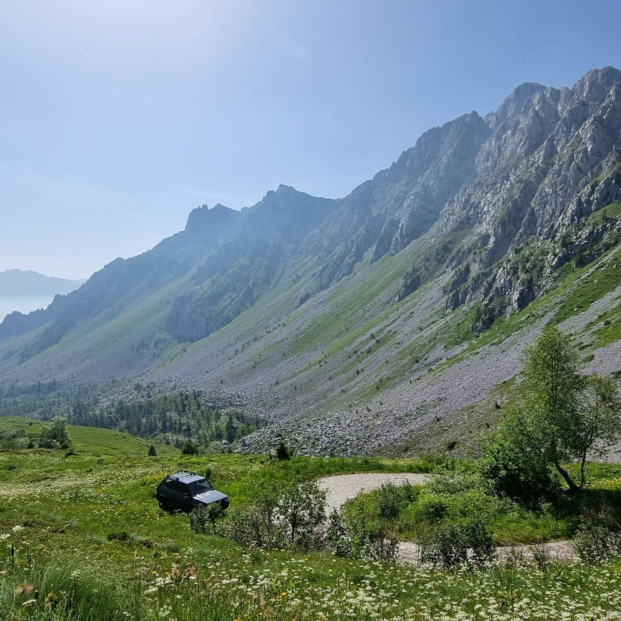
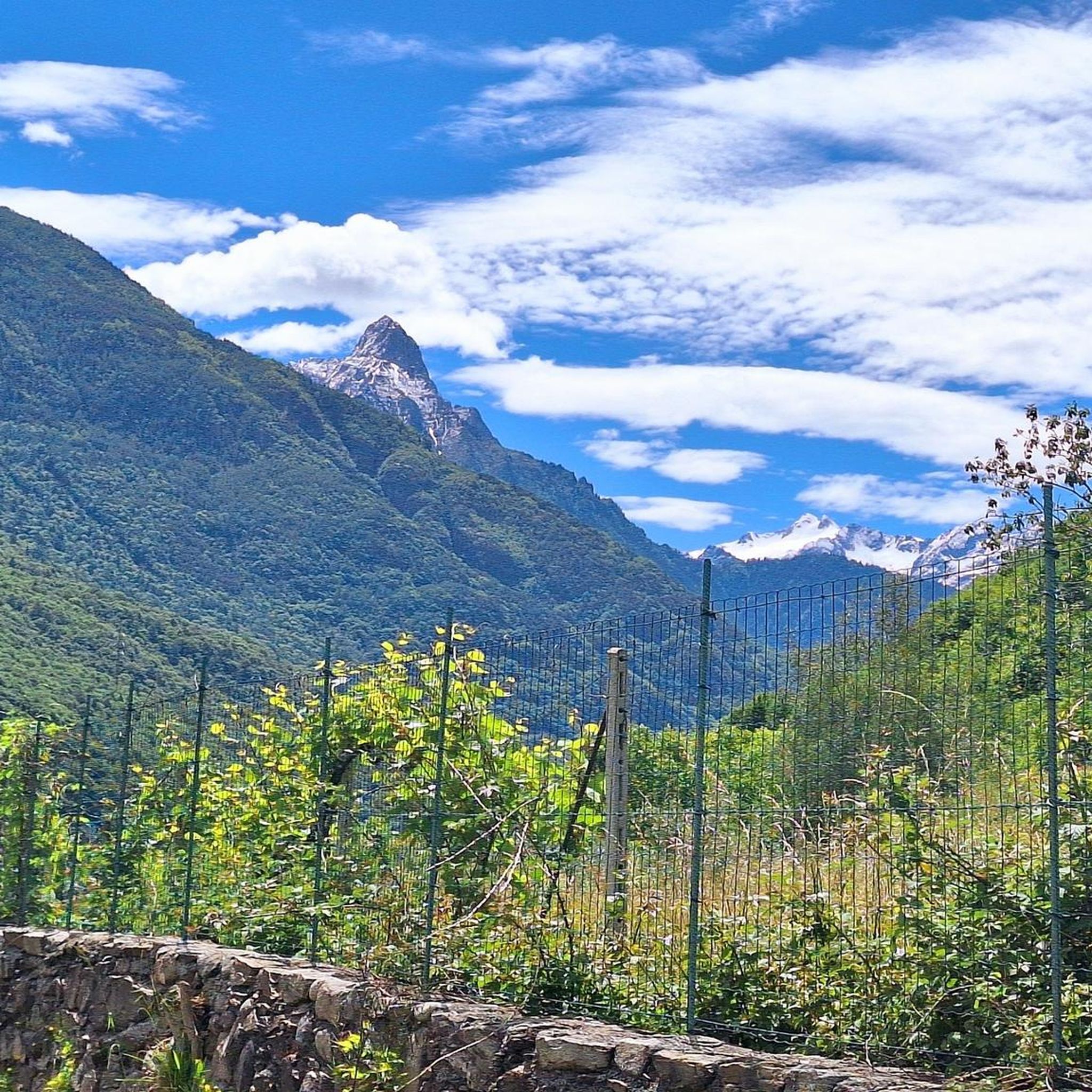
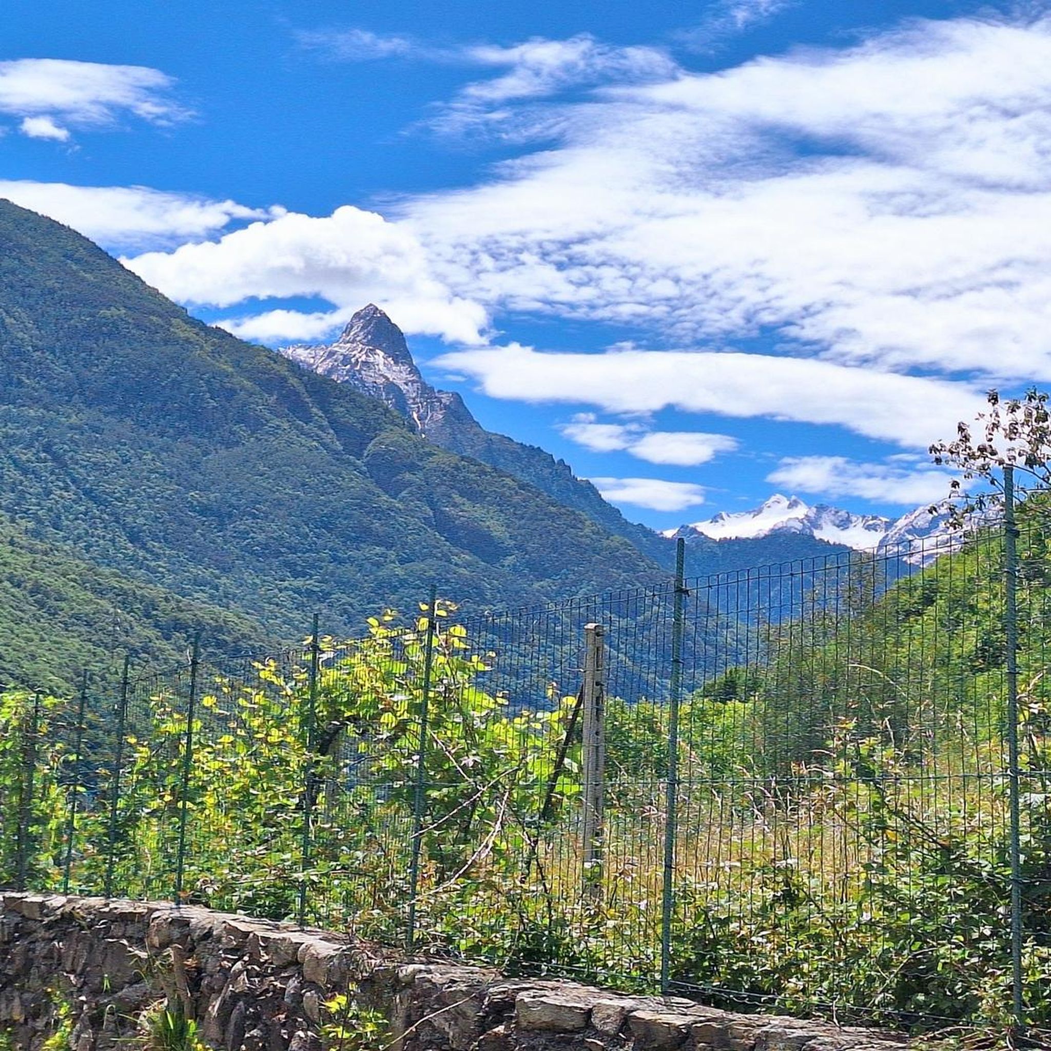
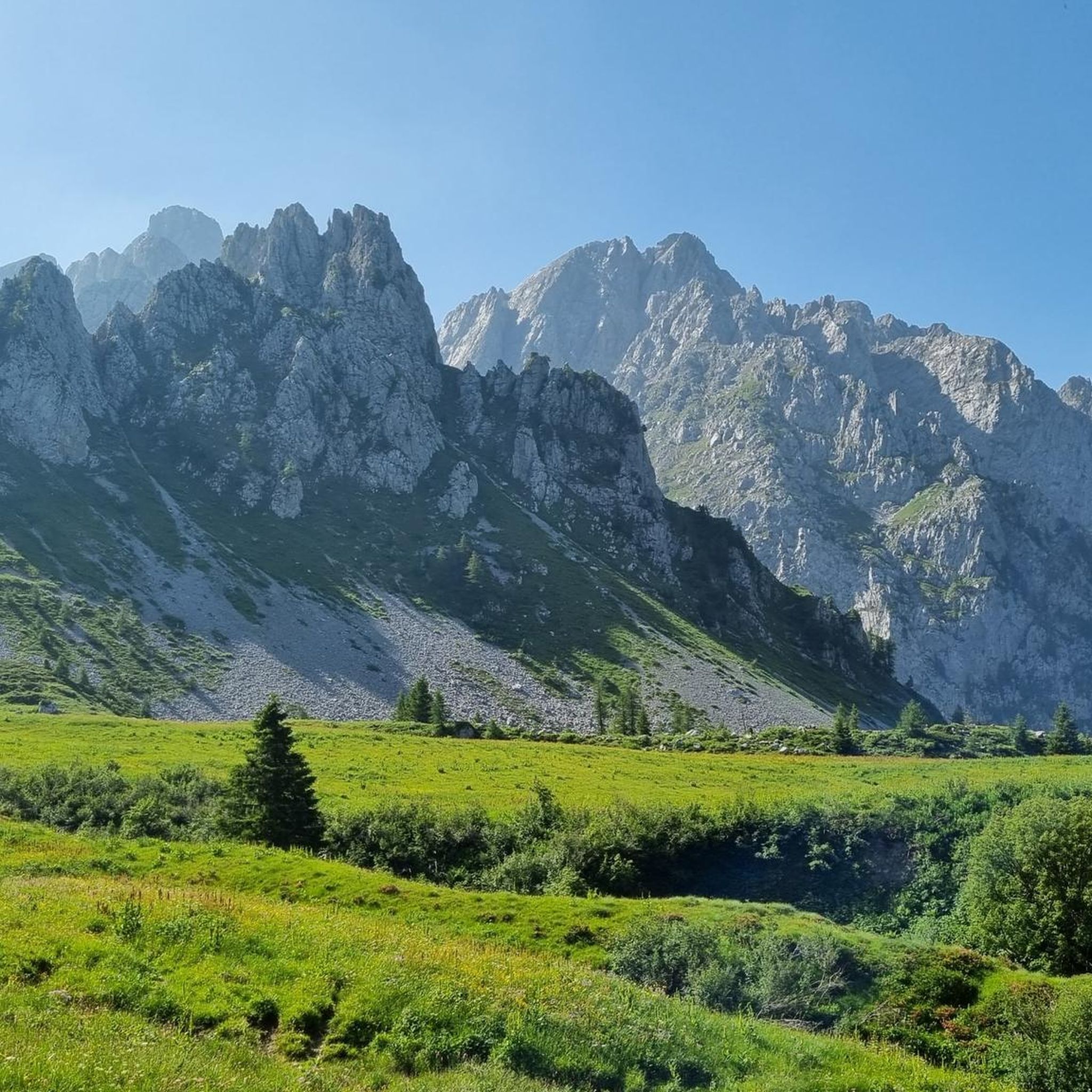


Tips from the Community

The Vello–Toline cycle-pedestrian path is a charming waterside route created on the disused track of the old coastal road on the Brescia side of Lake Iseo. Route characteristics Length: Approximately 4–5 km Elevation gain: Minimal, approx. +20 m (completely flat) Duration: 1 hour on foot or about 15–20 minutes by bicycle Difficulty: Very easy, suitable for everyone and families Surface: Asphalt, closed to vehicular traffic and about 3 meters wide
0
0

during one of my tours, I found myself in this pass, spectacular how at the end of summer everything is incredibly green
0
0

beautiful views on this cycle path .
0
0


Ascent that crosses several very well-equipped and beautiful villages to see.
0
0

They made a cycle path on the side, very beautiful, with a monument to the alpine troops.
0
0
Narrow and blind passages. Be very careful.
0
0

By train to Edolo and then by bike up to Ponte di legno. The next day, departure in four stages to Mantua. Beautiful cycle path. Recommended
0
0
Frequently Asked Questions
What is the general difficulty level of road cycling routes in Capo Di Ponte?
Road cycling around Capo Di Ponte is characterized by significant elevation changes, with routes often climbing several hundred meters. While there are 8 easy routes, the majority of the 44 available routes are classified as moderate (23) or difficult (13), offering challenging terrain for road cyclists.
Are there any beginner-friendly road cycling routes in Capo Di Ponte?
Yes, Capo Di Ponte offers 8 easy road cycling routes. These routes typically feature less elevation gain and shorter distances, making them suitable for those new to road cycling or looking for a more relaxed ride. An example is the Mural on Roadside Building – Town Street loop from Sellero, which is classified as easy.
Can I find long-distance road cycling routes in Capo Di Ponte?
Absolutely. The region is known for its longer routes that navigate river valleys and ascend mountain passes. Many routes are around 35-40 miles (55-65 km) in length, such as the By bike along the Oglio – Oglio River loop from Capo di Ponte, which covers 36.7 miles (59.0 km).
Are there road cycling routes that form a loop around Capo Di Ponte?
Yes, many of the road cycling routes in Capo Di Ponte are designed as loops, allowing you to start and finish in the same location. Examples include the challenging View from Cima Crocedomini – Passo Crocedomini loop from Capo di Ponte and the Vivione Pass – Town Street loop from Capo di Ponte.
What kind of scenic viewpoints can I expect on road cycling routes in Capo Di Ponte?
The road cycling routes in Capo Di Ponte offer panoramic views of the surrounding alpine landscape, especially from higher passes. Routes like the one to Passo Crocedomini provide stunning vistas. You can also find natural monuments such as Campelli Pass or Mount Campioncino along some routes.
What do other road cyclists enjoy the most about road cycling in Capo Di Ponte?
The road cycling routes in Capo Di Ponte are highly rated by the komoot community, with an average score of 4.7 stars from over 45 reviews. Cyclists often praise the challenging mountain passes, the beauty of the river valleys, and the diverse alpine scenery. Over 3,000 road cyclists have used komoot to explore the varied terrain here.
What is the best time of year for road biking in Capo Di Ponte?
Given the region's mountain passes and alpine characteristics, the best time for road biking in Capo Di Ponte is typically from late spring through early autumn (May to October). During these months, the weather is generally more stable, and higher passes are clear of snow, offering optimal conditions for cycling.
Are there any notable landmarks or attractions along the road cycling routes?
Yes, the region around Capo Di Ponte offers several interesting landmarks. Cyclists might encounter natural monuments like Passo di Campo or Lake Valbona. There's also the Statue of the Madonna of Campelli, which can be a point of interest during your ride.
How does road cycling in Capo Di Ponte compare to Lago d'Iseo?
While both regions offer beautiful cycling, Capo Di Ponte is distinctly characterized by its challenging mountain passes and significant elevation changes within the Italian Alps, such as Crocedomini and Vivione. Lago d'Iseo, while also scenic, tends to offer more routes directly around the lake with varying elevation, but perhaps fewer of the high-alpine pass experiences that define Capo Di Ponte.
Are there any road cycling routes suitable for families in Capo Di Ponte?
While many routes feature significant climbs, there are easier options that might be more suitable for families or less experienced riders. The 8 easy routes available in the region generally follow riverine paths or lower elevations, providing a less strenuous experience. For example, the Mural on Roadside Building – Town Street loop from Sellero is an easy route that could be considered.
What kind of terrain can I expect on road cycling routes around Capo Di Ponte?
The terrain around Capo Di Ponte is diverse, ranging from riverine paths along the Oglio to challenging ascents up high-altitude passes like Crocedomini and Vivione. You'll encounter a mix of valley riding and steep mountain climbs, often on paved roads, providing a varied and engaging experience for road cyclists.
Most popular routes around Capo Di Ponte
Most popular attractions around Capo Di Ponte

Get inspired with the komoot mobile app


Explore more
Browse the best Road cycling routes in other regions.
