The best running trails around Curiglia Con Monteviasco
4.4
(270)
8,839
runners
236
runs
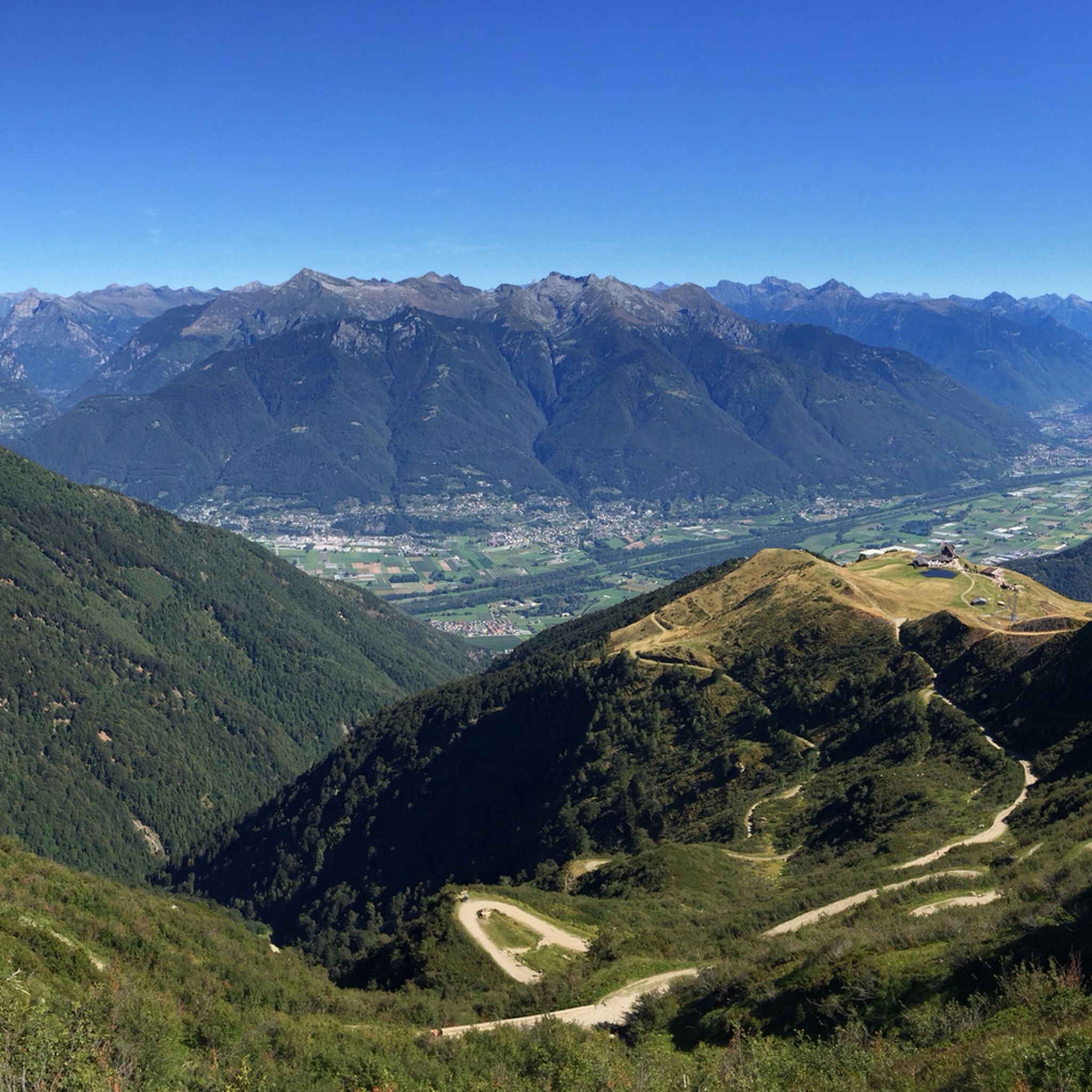
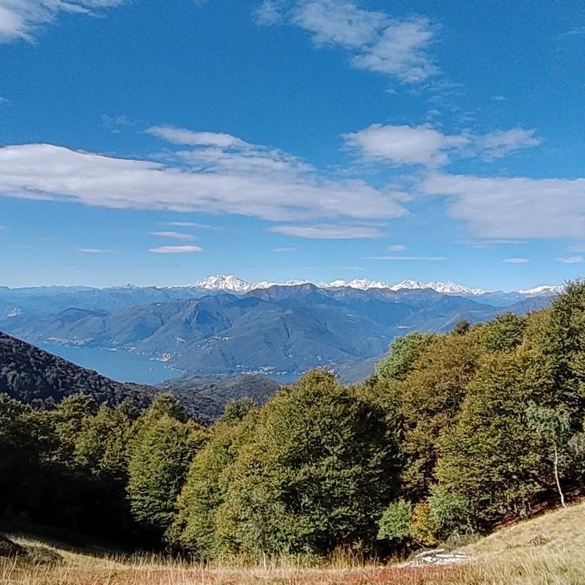
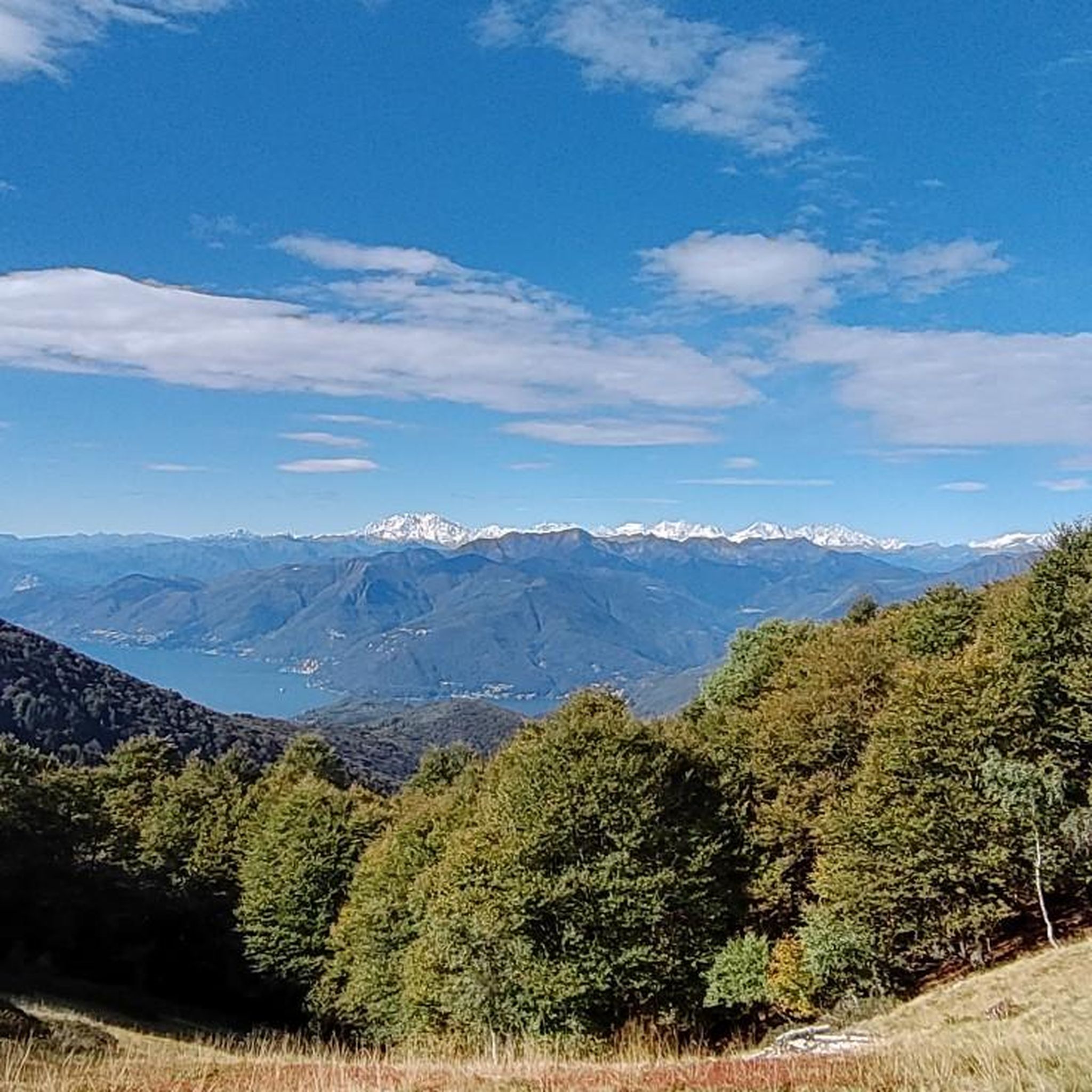
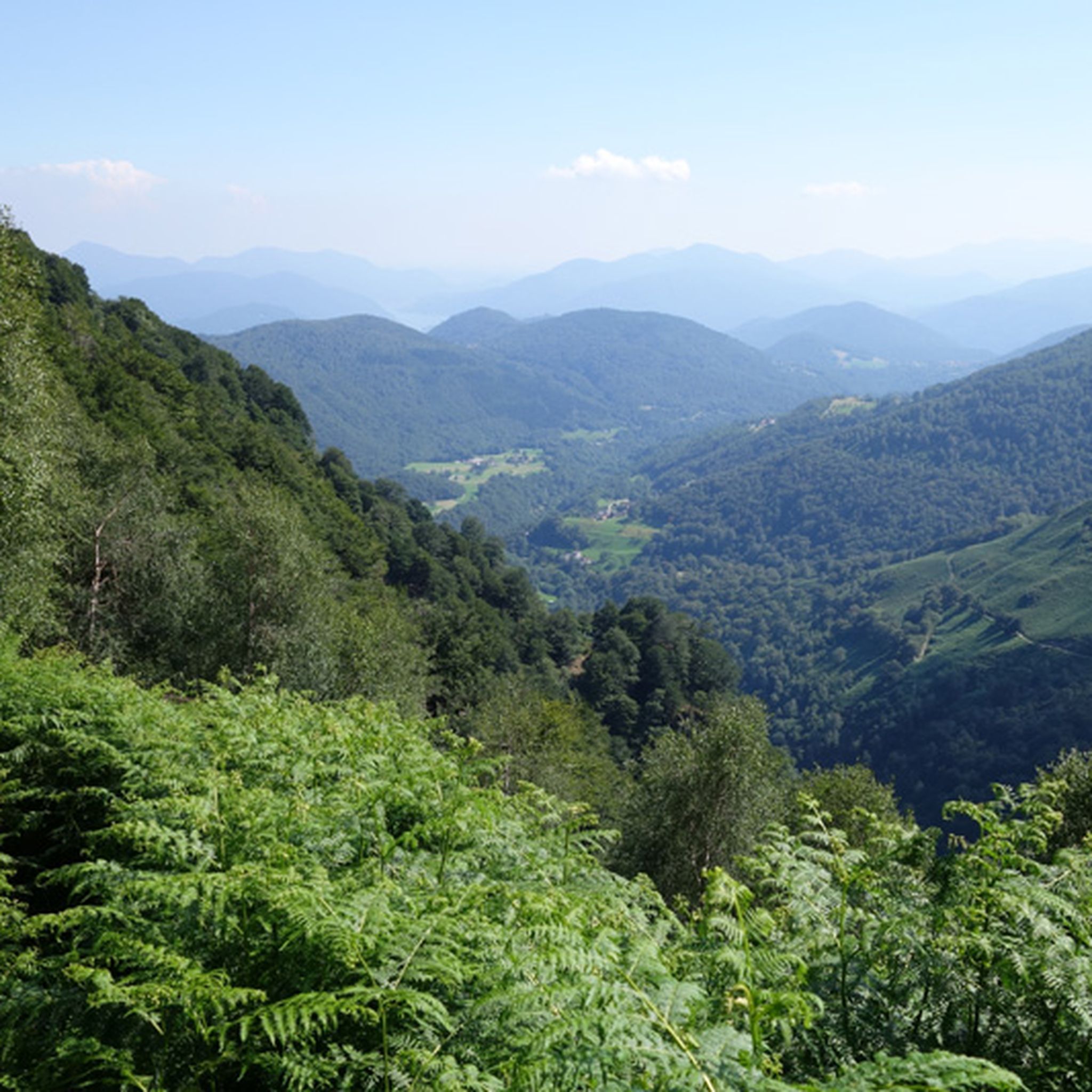
Jogging routes around Curiglia Con Monteviasco traverse a landscape defined by dramatic topography and historical charm in Italy's Varese province. The region features lush woodlands, varied terrain, and significant elevation changes, providing a challenging environment for running. Trails often wind through the Veddasca Valley, offering views of Lake Maggiore and Lake Lugano from elevated positions. The area is characterized by its mountainous setting, with routes connecting historic villages and natural landmarks.
Best jogging routes around Curiglia Con Monteviasco
- The most…
Last updated: September 30, 2026
2.0
(1)
19
runners
18.3km
03:25
980m
980m
Hard run. Very good fitness required. Sure-footedness, sturdy shoes and alpine experience required.
5.0
(1)
9
runners
8.27km
01:19
450m
450m
Jogging the difficult 5.1-mile Via Verde Varesina Trail 108: Stage 8 offers 1475 feet of elevation gain through scenic Varese.

8
runners
11.9km
02:15
850m
850m
This difficult 7.4-mile (11.9 km) Valley Trail loop run offers a challenging jog with 2786 feet (849 metres) of elevation gain near Monte Le
3.0
(1)
23
runners
5.44km
00:41
130m
130m
Hard run. Good fitness required. Sure-footedness, sturdy shoes and alpine experience required.
20
runners
9.80km
02:04
870m
870m
Hard run. Very good fitness required. Sure-footedness, sturdy shoes and alpine experience required.
Get access to more routes and recommendations from other explorers.
Already have an account?
Our route recommendations are based on thousands of hikes, rides, and runs completed by other people on komoot.
Start today with a free account
Your next adventure awaits.
Popular around Curiglia Con Monteviasco

Tips from the Community

Very nice Ticino village. Accessible by Postauto.
0
0

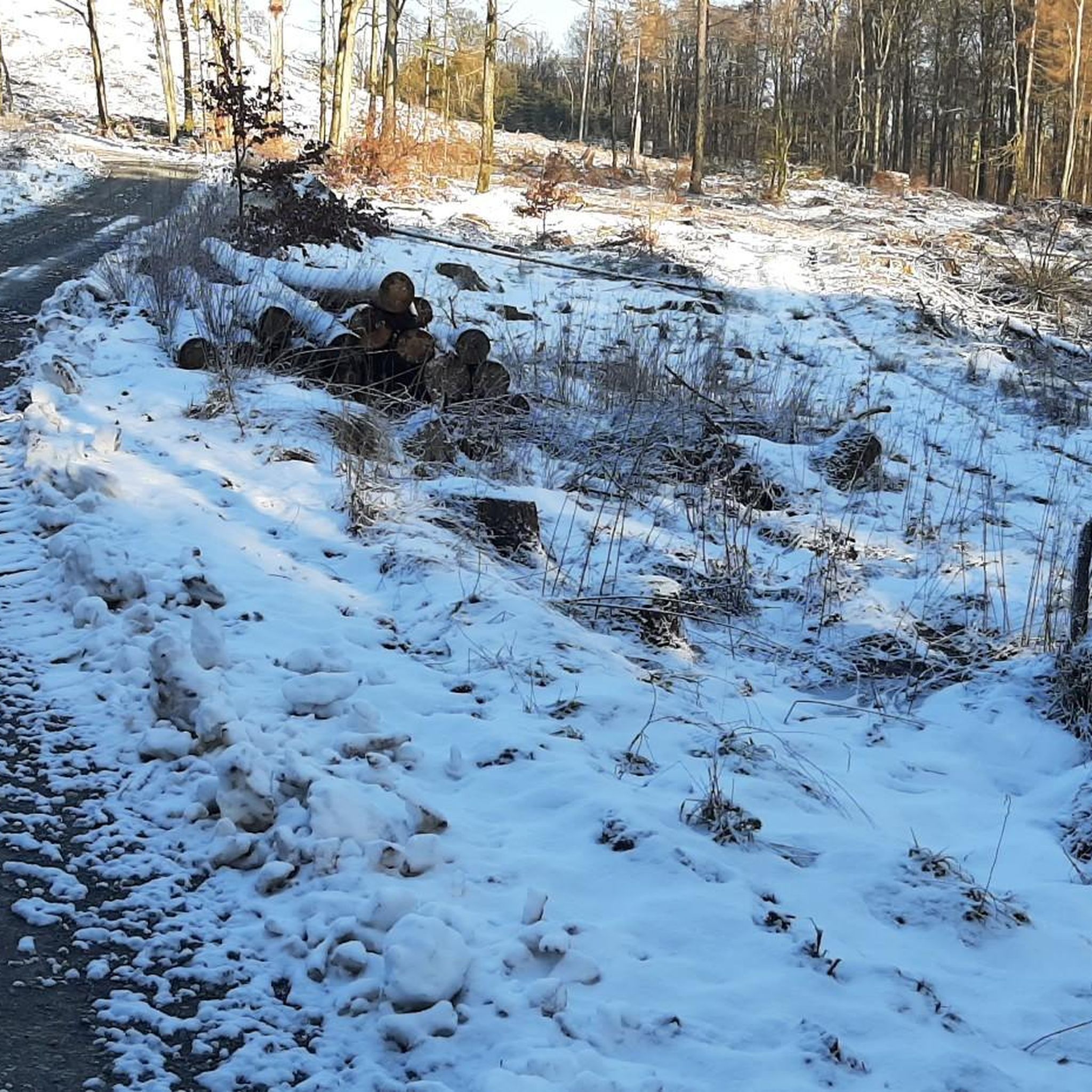
Beautiful even now with a bit of snow on the trail.
0
0


Very nice route with panoramic points. Easy to follow, not recommended for strollers due to a short initial rocky section, Camper parking side.
0
0

It's definitely tiring but the view makes up for the effort, if you want there's a cable car from Miglieglia😁
0
0

beautiful sun tour
1
0

Here you take the mountain bike train up Monte Lema. Then you ride the mountain bike down to Italy and then back to Agno.
0
0
Frequently Asked Questions
How many running routes are available in Curiglia Con Monteviasco?
There are over 230 running routes around Curiglia Con Monteviasco, offering a wide range of options for different skill levels. You'll find everything from moderate trails to challenging ascents.
What kind of terrain can I expect on the jogging trails around Curiglia Con Monteviasco?
The region is characterized by its dramatic topography, featuring lush woodlands, varied terrain, and significant elevation changes. You'll encounter paths winding through the Veddasca Valley, mountainous sections, and historic village paths. The famous Monteviasco Steps, with 1,400 steps and a 30% gradient, offer a particularly challenging workout.
Are there any family-friendly running paths in the region?
Yes, Curiglia Con Monteviasco offers several easier routes suitable for families. While many trails involve significant elevation, there are approximately 10 routes classified as easy, providing gentler options for a family run or walk.
Can I bring my dog on the running trails in Curiglia Con Monteviasco?
Many trails in Curiglia Con Monteviasco are suitable for running with dogs, especially those that traverse woodlands and less technical terrain. It's always advisable to keep your dog on a leash and ensure they are accustomed to varied inclines and surfaces.
What are some notable landmarks or viewpoints I might encounter while running?
Jogging routes often provide breathtaking views of the Veddasca Valley, Lake Maggiore, and Lake Lugano from elevated positions. You might also pass through historic villages with 16th and 17th-century architecture, or discover sanctuaries like Serta and Tronchedo. The ancient 'Masso di Piero' boulder and the historic Mills of Piero offer unique cultural stops.
Are there any circular running routes in Curiglia Con Monteviasco?
Yes, there are several loop routes available. For example, the Agra Town Hall Square – Belvedere Augusto Zucoli loop from Agra offers a scenic circular run. Another option is the Mount Lema loop from Miglieglia, which provides expansive panoramas.
Where can I find parking near the running trailheads?
Parking is generally available in the main villages like Curiglia and near popular trailheads. Given the mountainous and historic nature of the area, specific parking spots might be limited, so it's recommended to check local signage or maps for designated parking areas before your run.
What is the best time of year to go running in Curiglia Con Monteviasco?
The region is beautiful year-round, but spring and autumn offer pleasant temperatures and vibrant scenery, ideal for running. Summer can be warm, especially at lower elevations, while winter runs might require appropriate gear for snow or ice, particularly on higher trails.
Are there any waterfalls or natural water features along the running routes?
Yes, the area features several beautiful waterfalls. You might encounter the Al Maglio waterfall or the Pevereggia Waterfalls. Some routes also offer views of the Waterfall and Canyon, providing refreshing sights during your run.
What do other runners enjoy most about jogging in Curiglia Con Monteviasco?
The running routes in Curiglia Con Monteviasco are highly rated by the komoot community, with an average score of 4.4 stars from over 200 reviews. Runners often praise the stunning panoramic views, the challenging yet rewarding terrain, and the opportunity to explore historic villages and lush woodlands.
Are there any easy running routes for beginners?
While many routes are moderate to difficult, there are approximately 10 easy running routes available. These paths offer a less strenuous experience, perfect for beginners or those looking for a more relaxed jog through the scenic landscape.
Can I access Curiglia Con Monteviasco by public transport to reach the trails?
Access to Curiglia Con Monteviasco by public transport can be limited due to its remote, mountainous location. While there might be local bus services connecting to larger towns, many visitors opt for personal vehicles to reach trailheads. Monteviasco village itself is car-free and historically accessed by a long staircase, though a cable car now provides easier access.
Most popular routes around Curiglia Con Monteviasco
Most popular attractions around Curiglia Con Monteviasco

Get inspired with the komoot mobile app


Explore more
Browse the best Running Trails & Routes in other regions.
