The best MTB trails around Curiglia Con Monteviasco
4.3
(2276)
16,219
riders
234
rides
Mountain biking around Curiglia Con Monteviasco offers a compelling destination for outdoor enthusiasts due to its rugged terrain and diverse trails. The region is characterized by numerous mountain peaks, deep valleys like the Veddasca Valley, and lush woodlands. Trails often feature significant elevation changes, catering to various fitness and skill levels.
Best mountain bike trails around Curiglia Con Monteviasco
- The most popular mountain bike trail is Miglieglia – Alpe Agra Nature Reserve loop from Curio, a 15.7 miles (25.2…
Last updated: June 28, 2026
3.5
(2)
47
riders
39.4km
04:00
1,280m
1,280m
Hard mountain bike ride. Very good fitness required. Advanced riding skills necessary.
5.0
(11)
77
riders
25.2km
02:24
770m
770m
Hard mountain bike ride. Good fitness required. Advanced riding skills necessary. Some portions of the route may require you to push your bike.

Sign up for free
4.2
(6)
50
riders
Moderate mountain bike ride. Good fitness required. Suitable for all skill levels.
3.7
(3)
26
riders
Hard mountain bike ride. Good fitness required. Advanced riding skills necessary. Some portions of the route may require you to push your bike.
5.0
(3)
24
riders
25.6km
02:30
870m
880m
Hard mountain bike ride. Good fitness required. Advanced riding skills necessary. Some portions of the route may require you to push your bike.
Get access to more routes and recommendations from other explorers.
Sign up for free
Already have an account?
Our route recommendations are based on thousands of hikes, rides, and runs completed by other people on komoot.
Start today with a free account
Your next adventure awaits.
Login or Signup
Popular around Curiglia Con Monteviasco
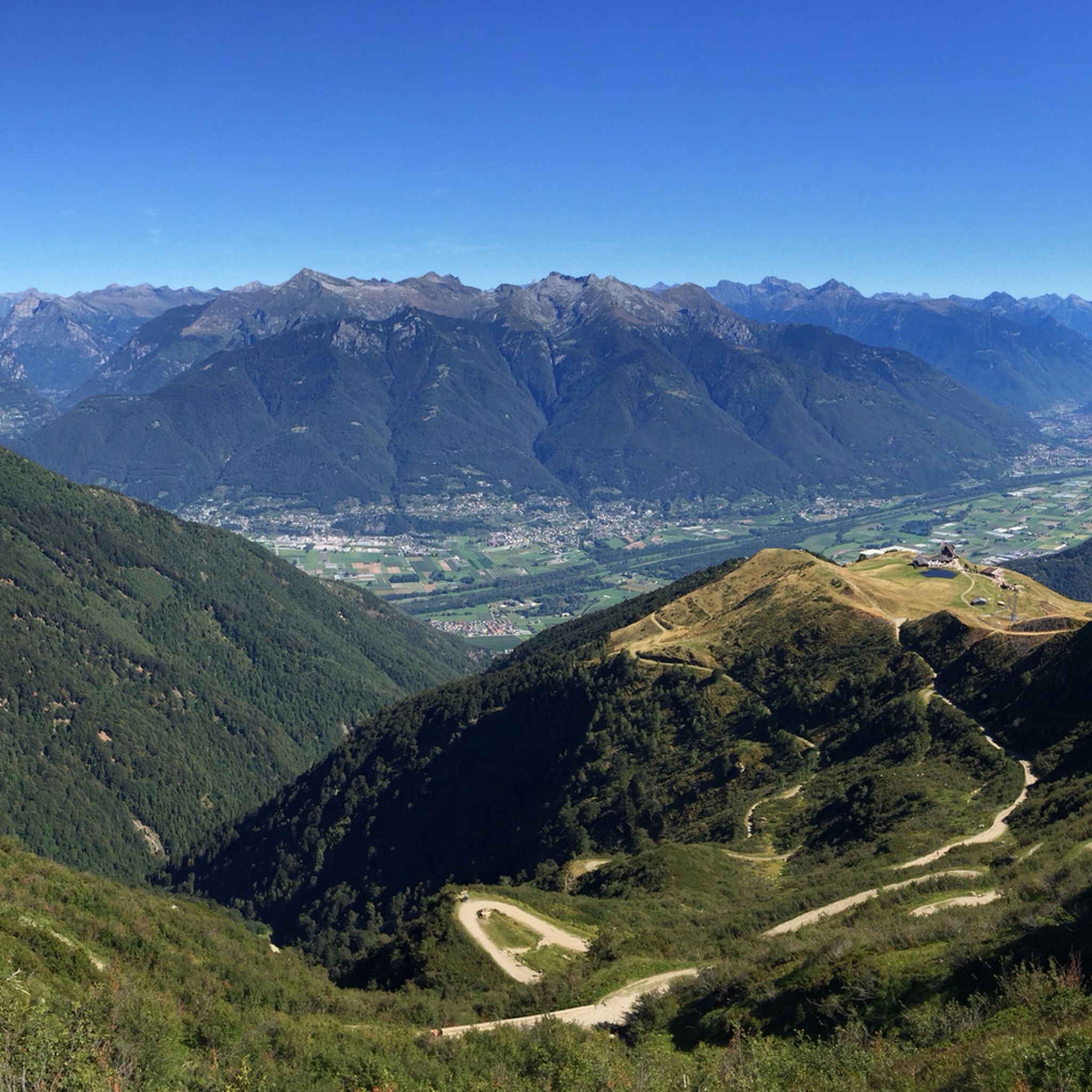
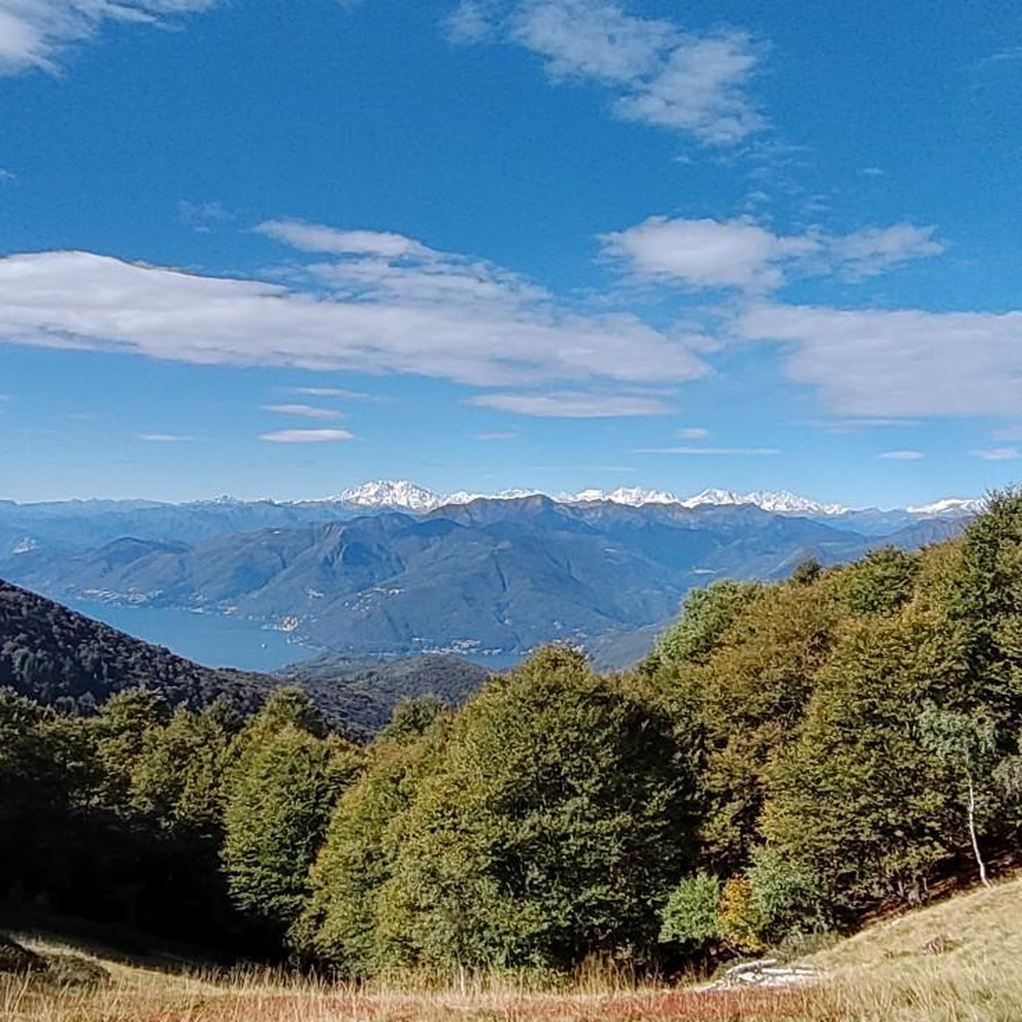
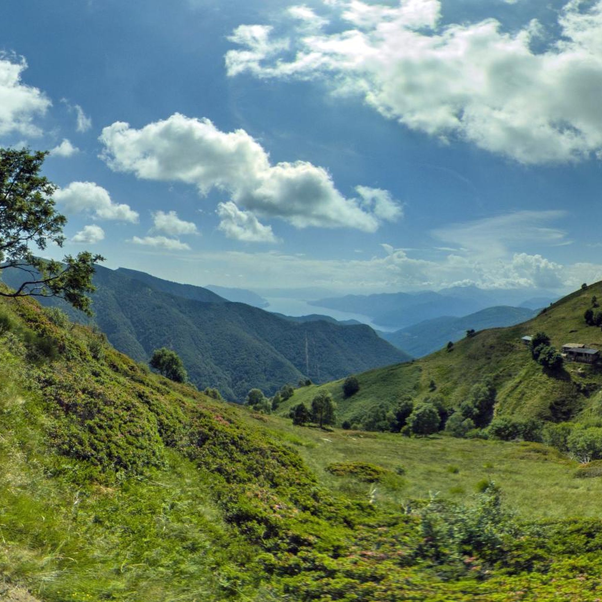
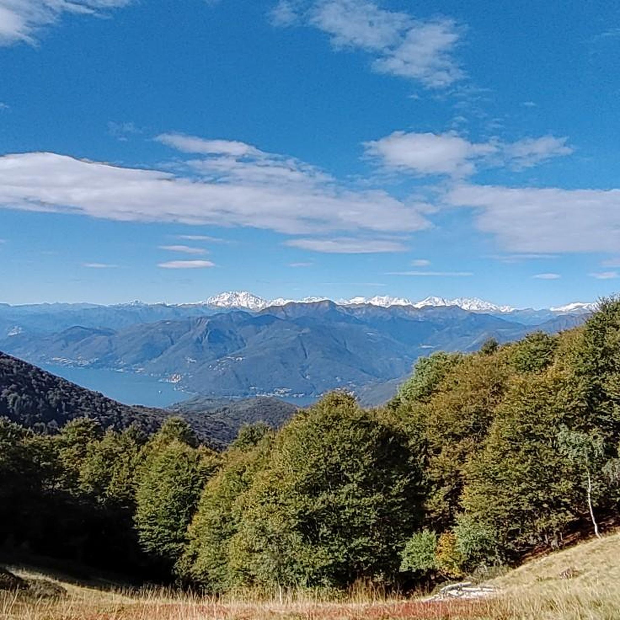

Tips from the Community

..and also the beginning of the Italian section 🇮🇹 of the Via Francisca del Lucomagno 🔔🚵🏼♂️🥾
0
0

An old ironworks. Great for cooling off in the river in summer.
0
0

Nice trail. It also depends on whether it rained beforehand. In that case, please exercise caution.
0
1
Here you take the mountain bike train up Monte Lema. Then you ride the mountain bike down to Italy and then back to Agno.
0
0
A beautiful museum about the life of a miller. The cantine isn't always open, but there is a water feature. The waterfall is ideal for swimming in the summer. The place is very popular and worth seeing.
0
0
There's a fountain here. I really like the place.
1
0

This church in Arosio was dedicated to the Archangel Michael. The name (from the Hebrew language) means "Who is like God?" He is often depicted - in paintings or as a statue - with a flaming sword, occasionally with a lance. Michael is - together with Raphael and Gabriel, and occasionally Uriel is also included - one of the three or four archangels who (according to human belief) occupy the highest rank in the heavenly hierarchy of angelic beings. Their common feast day in the calendar of saints is September 29th.
0
0

The border runs exactly in the middle of the river "Tresa". The Italian and Swiss border stations are located on the banks of each side.
7
0
Frequently Asked Questions
How many mountain bike trails are available around Curiglia Con Monteviasco?
There are nearly 250 mountain bike trails around Curiglia Con Monteviasco. This includes a wide range of options, with over 30 easy routes, more than 80 moderate trails, and over 130 difficult paths, catering to various skill levels.
What kind of terrain can I expect on mountain bike trails in Curiglia Con Monteviasco?
The region offers rugged and varied terrain, characterized by majestic mountains, deep valleys like the Veddasca Valley, and lush woodlands. Trails often feature significant elevation changes, from challenging ascents to rewarding descents, and some routes may even require pushing your bike through certain sections.
Are there any easy mountain bike trails suitable for beginners or families in Curiglia Con Monteviasco?
Yes, while many trails are challenging, there are over 30 easy mountain bike routes available. These routes are generally less demanding in terms of elevation and technical skill, making them suitable for beginners or families looking for a more relaxed ride. For a moderate option that is less strenuous than the difficult mountain ascents, consider routes like the Riverside Path along the Tresa – Old church with gateway passage loop from Astano.
What are some notable natural features or viewpoints I might encounter on the trails?
The trails often traverse lush woodlands and offer breathtaking views of the Veddasca Valley. You might also encounter waterfalls and rivers, enhancing the scenic beauty. For expansive vistas, consider routes that pass near peaks like Monte Lema or offer views towards Lake Maggiore.
Are there any historical or cultural landmarks along the mountain bike routes?
Yes, the region is rich in history. Some routes may lead you through or near traditional villages like Monteviasco, known for its 16th and 17th-century architecture. You might also find historical landmarks such as the 'masso di Piero' with ancient engravings, or religious sites like the Serta Sanctuary in Monteviasco and the Tronchedo Sanctuary in Curiglia.
What do other mountain bikers say about the trails in Curiglia Con Monteviasco?
The mountain bike trails in Curiglia Con Monteviasco are highly rated by the komoot community, with an average score of 4.4 stars from over 2,300 reviews. Over 18,000 mountain bikers have explored the varied terrain, often praising the challenging ascents, rewarding descents, and the stunning natural beauty of the region's mountains and valleys.
Are there any circular mountain bike routes in the area?
Yes, many of the mountain bike routes in Curiglia Con Monteviasco are designed as loops, allowing you to start and end in the same location. Examples include the challenging Miglieglia – Alpe Agra Nature Reserve loop from Curio and the Miglieglia – Monte Lema loop from Miglieglia.
What is the best time of year to go mountain biking in Curiglia Con Monteviasco?
The best time for mountain biking generally depends on the specific trail and elevation. Spring and autumn often offer pleasant temperatures and vibrant scenery. During summer, higher elevation trails might provide cooler conditions, while lower routes could be quite warm. Winter riding is possible but may be limited by snow or ice on higher, more exposed trails.
Are there any trails that pass by lakes or offer lake views?
Yes, the broader region is close to several beautiful lakes. Some viewpoints along the trails, particularly those at higher elevations, can offer stunning vistas of Lake Maggiore. You might also find routes that lead towards or near other bodies of water, providing a refreshing change of scenery.
Are there any particularly challenging routes for experienced mountain bikers?
Absolutely. Curiglia Con Monteviasco is known for its difficult trails, with over 130 routes rated as such. These often feature significant elevation gains and technical sections. For example, the Grotto Sgambada – Alpe Agra Nature Reserve loop from Miglieglia is a challenging 24.5-mile path with substantial elevation gain through varied terrain, ideal for experienced riders.
Where can I find parking for mountain biking in Curiglia Con Monteviasco?
While specific parking locations vary by trailhead, many routes in the region start from villages or accessible points where parking facilities are typically available. It's advisable to check the individual route details on komoot for specific starting points and any associated parking information.
Most popular routes around Curiglia Con Monteviasco
Most popular attractions around Curiglia Con Monteviasco

Get inspired with the komoot mobile app


Explore more
Browse the best MTB trails in other regions.
