The best walks and hikes around Vizzola Ticino
4.2
(241)
882
hikers
17
hikes
Hiking trails around Vizzola Ticino are primarily located within the Ticino Park, offering diverse landscapes centered around the Ticino River. The region features serene waterways, including the Ticino River and the Villoresi and Industriale canals, providing tranquil paths. Hikers can experience a blend of natural beauty and historical routes, with some trails offering panoramic views of the Ticino valley and distant Alpine peaks. The terrain generally consists of riverbanks, canal paths, and forested areas.
Best hiking trails around Vizzola Ticino
…Last updated: August 17, 2026
4.1
(39)
103
hikers
7.23km
01:53
50m
50m
Easy hike. Great for any fitness level. Easily-accessible paths. Suitable for all skill levels.
4.9
(7)
16
hikers
16.7km
04:24
140m
140m
Moderate hike. Good fitness required. Mostly accessible paths. Sure-footedness required.

Sign up for free
1
hikers
6.83km
01:48
70m
70m
Easy hike. Great for any fitness level. Easily-accessible paths. Suitable for all skill levels.
4.2
(12)
68
hikers
11.0km
02:50
50m
50m
Moderate hike. Good fitness required. Easily-accessible paths. Suitable for all skill levels.
4.8
(16)
48
hikers
Moderate hike. Good fitness required. Easily-accessible paths. Suitable for all skill levels.
Get access to more routes and recommendations from other explorers.
Sign up for free
Already have an account?
Our route recommendations are based on thousands of hikes, rides, and runs completed by other people on komoot.
Start today with a free account
Your next adventure awaits.
Login or Signup

Tips from the Community

The Villoresi Canal flows north of Milan for 86 km. It originates from the Panperduto Dams on the Ticino River and continues to the Adda River, where it flows near Cassano d’Adda, in the Groppello area. From there, its waters are channeled, as needed, into the Adda or the Naviglio Martesana via a special structure. Along its course, the canal meets several natural watercourses – the Lambro, Olona, and Seveso among the best known – with which water exchange can occur, if necessary. The network, which branches off from the main canal like capillaries of a system that distributes water to the most remote areas, consists of 22 diversion canals, with a total length of 120 km, and 270 branch canals, winding for over 800 km. There are also collector canals – over 30 km in total length – which receive water not absorbed by the land during irrigation and/or collect rainwater. Also noteworthy is the system's water flow: the total water volume indeed exceeds, on average, 500 million m3 per year. Recently, navigation has also been rediscovered on the Villoresi; the canal's waters also feed 4 hydroelectric plants in the Municipality of Monza.
0
0

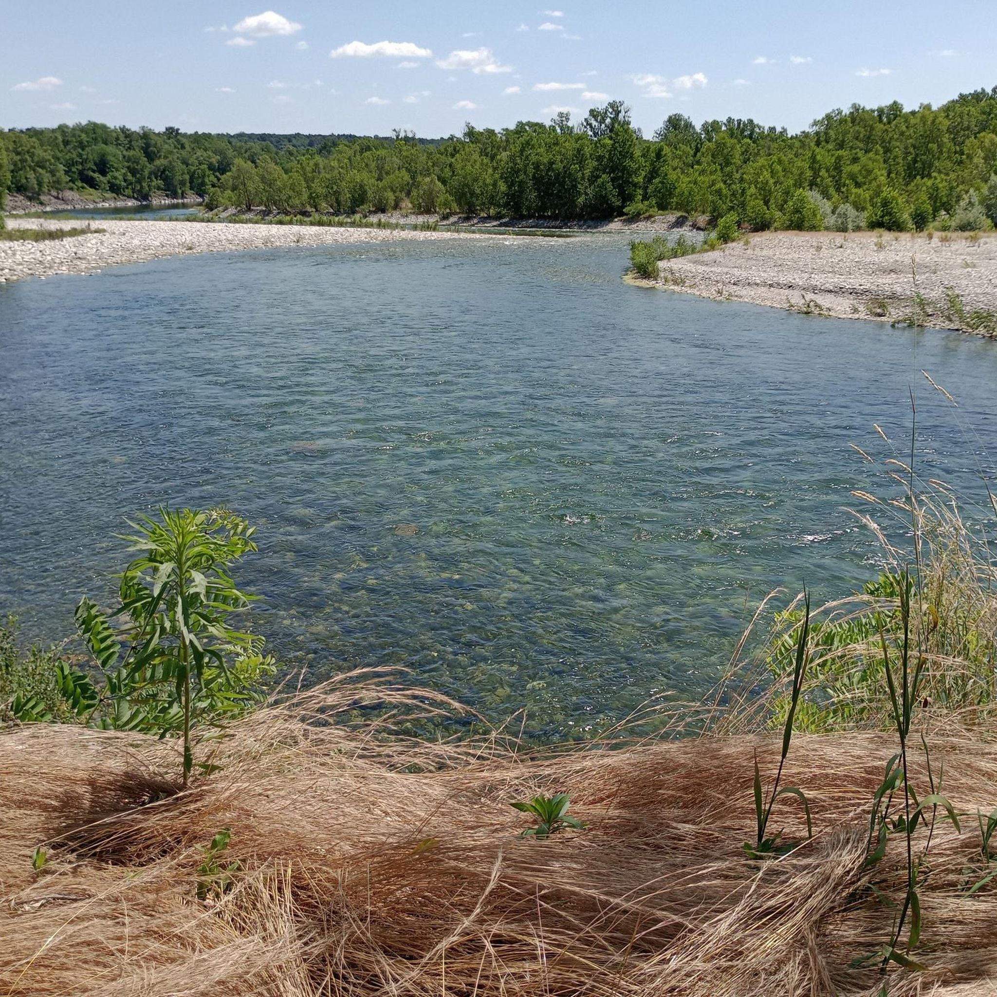
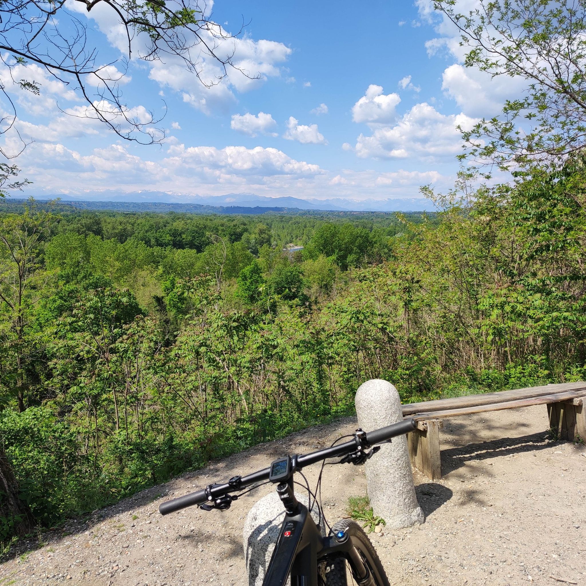
the view is always fascinating!
2
0

It was a late 19th-century engineer, Eugenio Villoresi, son of the director of the gardens of Villa Reale in Monza, who envisioned extending the irrigation of the fields upstream from this imaginary line. He therefore designed a long canal connecting Lake Maggiore to the Adda River, using its waters to distribute, for a fee, to all the fields between the canal and the fountain line. Obtaining the government concession and securing the project's financing was certainly no easy feat; Villoresi did not see its completion, which took place in 1890, 11 years after his death.
2
0

Panoramic point
1
0

exactly from here begins the long route of the Naviglio and Villoresi canals from the Ticino river basin regulated by the splendid Panperduto dam.
1
0

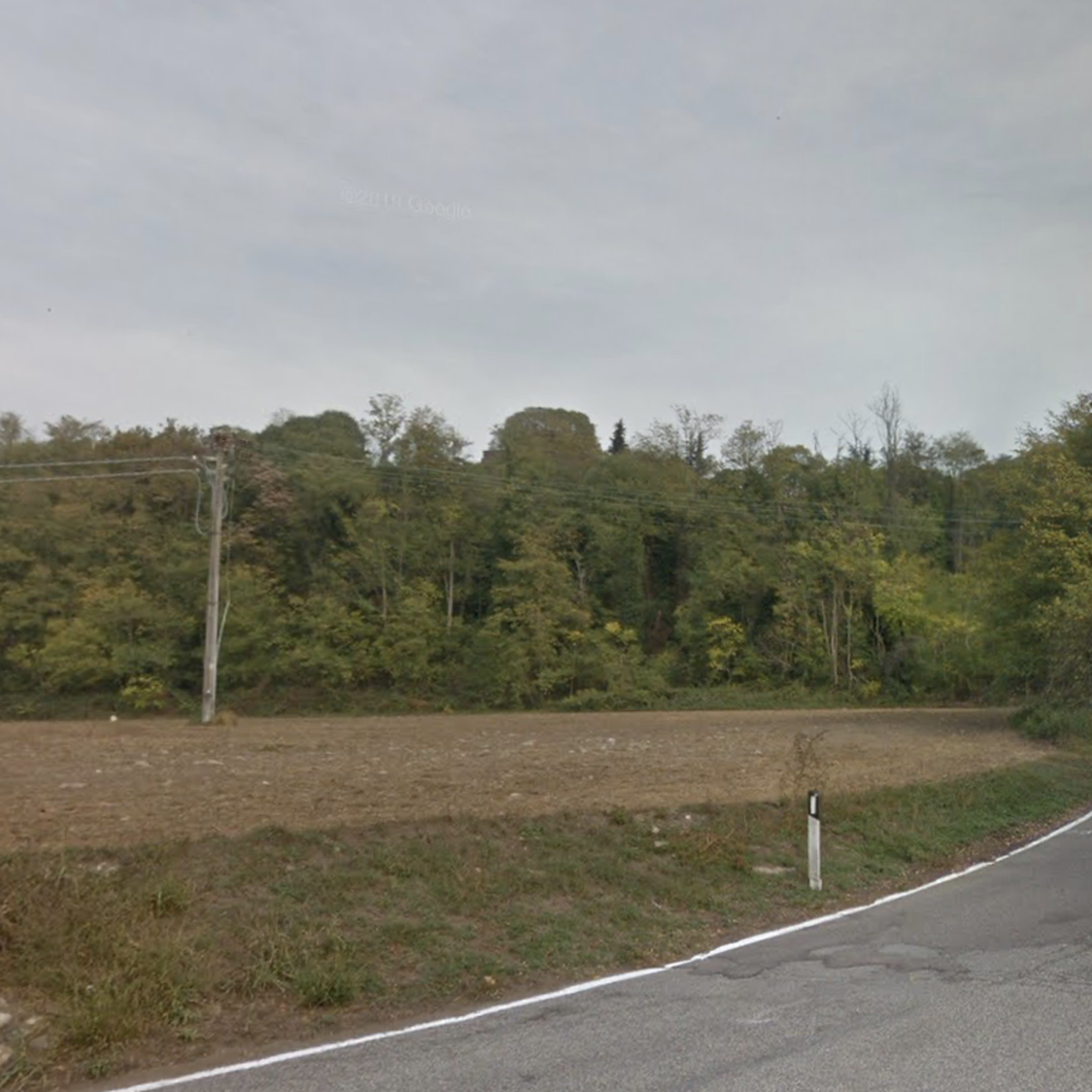
Historic building with the possibility of guided tours
0
0

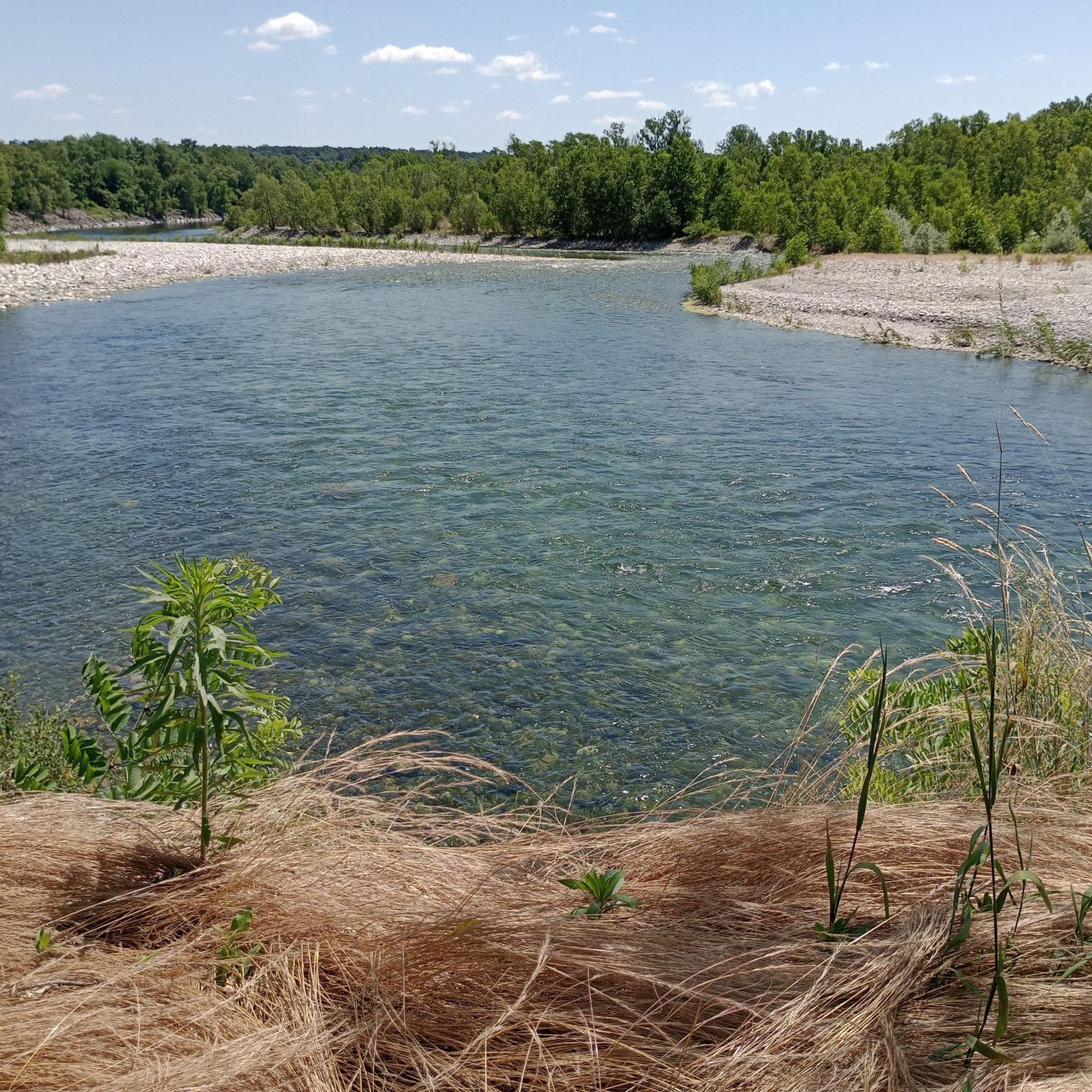
a dam that delimits the beginning of the Villoresi Canal and the power station canal which then leads to the Naviglio Grande
2
0

From here part of the waters of the Ticino river are diverted to form the Villoresi canal initially bordered by a path and then becoming a protected cycle path up to Monza, where the canal fills up and then emerges in Brugherio and reaches Groppello d'Adda. mostly cycle path.
1
0
Frequently Asked Questions
How many hiking trails are available in Vizzola Ticino?
Vizzola Ticino offers a good selection of routes, with over 18 hiking trails recorded on komoot. These range from easy strolls along the riverbanks to more moderate excursions through the Ticino Park.
What types of landscapes can I expect to see while hiking in Vizzola Ticino?
Hiking in Vizzola Ticino primarily features the serene waterways of the Ticino River, as well as the Villoresi and Industriale canals. You'll find tranquil paths through the extensive Ticino Park, with forested areas and riverine landscapes. Some routes also offer panoramic views of the Ticino valley and distant Alpine peaks like Monte Rosa.
Are there any easy hiking trails suitable for beginners or families?
Yes, Vizzola Ticino has plenty of easy options. There are 11 easy routes available, many of which follow the flat banks of the Ticino River and canals. A great choice for an easy, family-friendly walk is the Ansa di Castelnovate – loop tour, which is about 7.2 km long and takes less than two hours to complete.
Can I find circular hiking routes in Vizzola Ticino?
Yes, several circular routes are available. For example, the Ansa di Castelnovate – loop tour is a popular easy option. Another moderate circular route is the Panperduto Dam – Villoresi Canal loop from Castelnovate, which offers a longer experience.
Are there specific trails that offer panoramic views?
Absolutely. The region provides several spots with excellent views. The Ticino River Meander Trail with Alpine Views is specifically known for its scenic vistas. From certain vantage points, you can enjoy panoramic views of the Ticino valley, and even catch glimpses of the distant Monte Rosa massif and Monviso at sunset.
What interesting historical sites or attractions can I visit along the hiking trails?
Vizzola Ticino is rich in points of interest. You can explore the Via Gaggio Outdoor War Museum, an historic road now serving as an open-air museum. The Panperduto Dam also offers noteworthy panoramic views and is a significant landmark. Additionally, the small 13th-century Church of Santa Maria in Binda is worth a visit.
Is Vizzola Ticino a good destination for dog-friendly hiking?
Yes, the natural environment of Vizzola Ticino, particularly within the Ticino Park and along the river and canal paths, is generally very welcoming for dogs. Many trails are wide and well-maintained, offering plenty of space for you and your canine companion to enjoy the outdoors.
What is the best time of year to go hiking in Vizzola Ticino?
The region offers pleasant hiking conditions for much of the year. Spring and autumn provide mild temperatures and beautiful scenery, with vibrant foliage in fall. Summer is also popular, especially for walks along the shaded riverbanks and canals. Winter hiking is possible, though some paths might be less accessible depending on conditions.
Are there any moderate hiking trails for those looking for a bit more challenge?
Yes, Vizzola Ticino offers 6 moderate trails. A good option for a longer, more challenging hike is the Ansa di Castelnovate Trail, which spans over 16 km and provides an extended experience through the riverine landscape.
What do other hikers enjoy most about hiking in Vizzola Ticino?
The hiking trails around Vizzola Ticino are highly rated by the komoot community, with an average score of 4.2 stars from over 200 reviews. Hikers often praise the serene atmosphere along the Ticino River and canals, the well-maintained paths, and the blend of natural beauty with historical points of interest.
Are there any trails that combine natural beauty with cultural insights?
Many trails in Vizzola Ticino offer this combination. For instance, routes that pass by the Via Gaggio Outdoor War Museum allow you to explore a historic road while traversing forests. The presence of the Ticino River itself, marking the border between Lombardy and Piedmont, adds a layer of regional significance to your walk.
What is the longest hiking route available in Vizzola Ticino?
Among the listed routes, the Ansa di Castelnovate Trail is one of the longer options, covering approximately 16.7 km. This moderate route provides a more extended exploration of the area's natural beauty.
Most popular routes around Vizzola Ticino
Most popular attractions around Vizzola Ticino

Get inspired with the komoot mobile app


Explore more
Browse the best Hikes in other regions.
