The best walks and hikes around Montodine
4.2
(133)
977
hikers
145
hikes
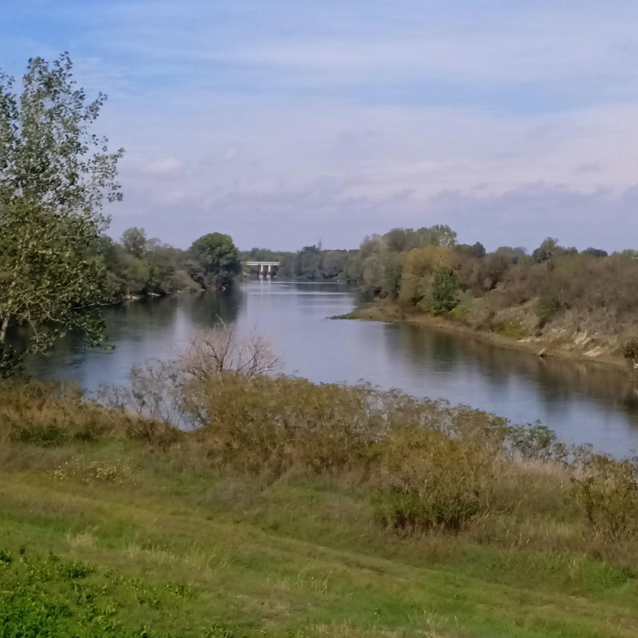
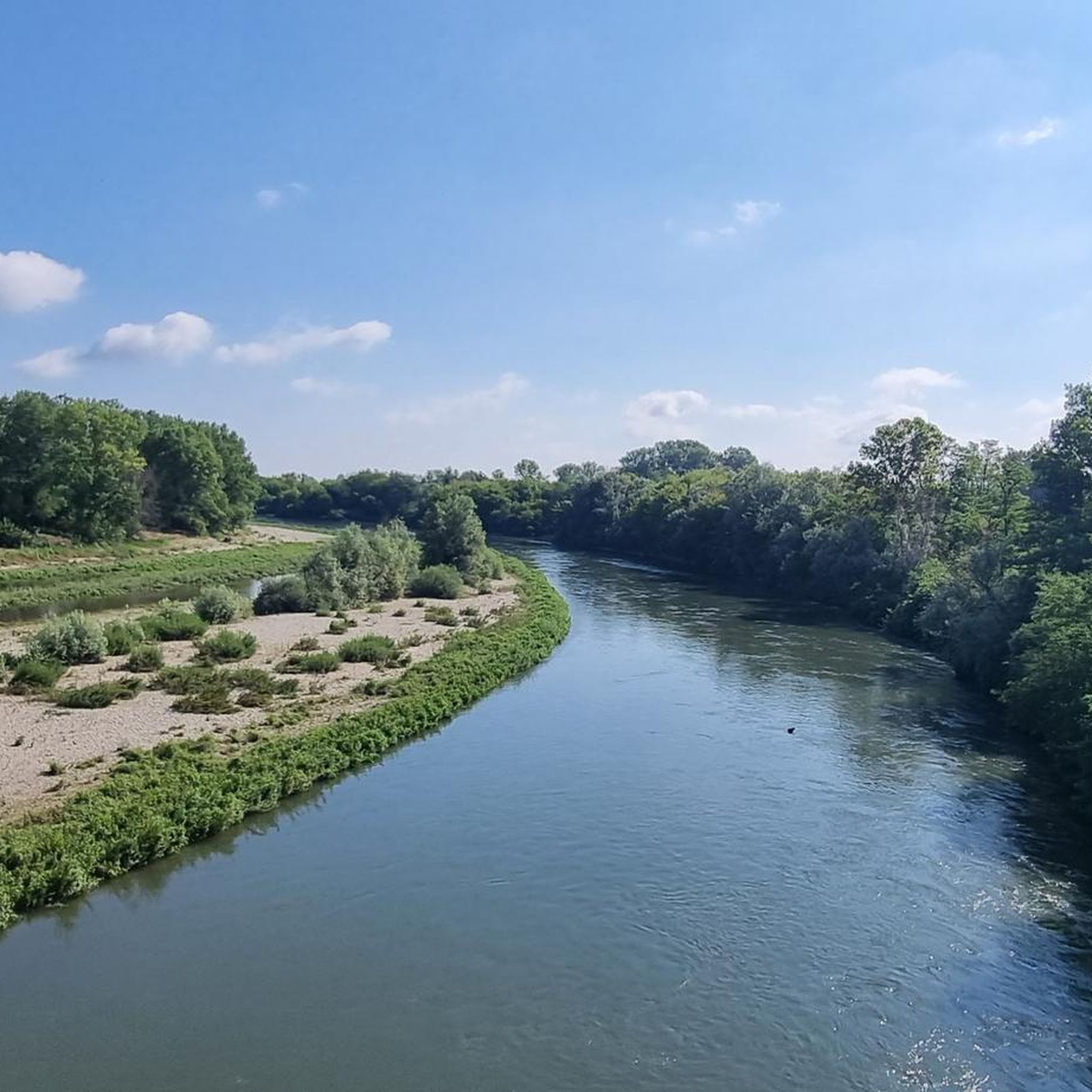
Hiking around Montodine offers access to the flat agricultural landscapes of the Lombardy Plain, characterized by its network of waterways. The region features the historic Canale Vacchelli and the Serio River, which provide tranquil routes through the countryside. Terrain in this area is generally flat, with minimal elevation changes, making it suitable for accessible trails. These natural features combine with local "nature trails" to create diverse opportunities for exploration.
Best hiking trails around Montodine
- The most popular hiking route is…
Last updated: October 10, 2026
3.0
(2)
3
hikers
15.6km
03:58
40m
40m
Moderate hike. Good fitness required. Easily-accessible paths. Suitable for all skill levels.
1
hikers
11.7km
03:00
50m
50m
Moderate hike. Good fitness required. Easily-accessible paths. Suitable for all skill levels.

4.0
(4)
5
hikers
24.6km
06:16
70m
70m
Hard hike. Very good fitness required. Easily-accessible paths. Suitable for all skill levels.
5.0
(1)
9
hikers
6.50km
01:39
20m
20m
Easy hike. Great for any fitness level. Easily-accessible paths. Suitable for all skill levels.
3.8
(4)
6
hikers
Moderate hike. Good fitness required. Easily-accessible paths. Suitable for all skill levels.
Get access to more routes and recommendations from other explorers.
Already have an account?
Our route recommendations are based on thousands of hikes, rides, and runs completed by other people on komoot.
Start today with a free account
Your next adventure awaits.


Tips from the Community

In Gombito there is a cycle-pedestrian path about 850 meters long (almost 2 kilometers round trip) that runs along the "Serio Morto" drainage channel, starting from via Marconi to the "Galleria" area. The town is also part of a network of cycle touring routes in the Cremona countryside and close to local canal paths such as the Canale Vacchelli.
0
0
On trails immersed in greenery, very shaded
0
0
Let's say I almost got there, the path marked on the map disappeared among the weeds, I went around a freshly harvested field to more or less follow the track but it was no use
0
0

Many pairs of storks have been nesting at the Centre for many years now.
1
0

Fascinating area where Adda and Serio meet. Here you can walk in peace away from traffic and surrounded by nature.
1
0
Montodine is a small, charming and not too busy town. Don't miss the church in the center during a walk through the streets of the town.
2
0
Along the Serio, here, there is a nice single track with compact terrain which, however, can become muddy following intense rain.
1
0
Next to the main road runs a cycle/pedestrian path perfect for walking away from vehicular traffic.
1
0
Frequently Asked Questions
How many hiking trails are available around Montodine?
Montodine offers a wide selection of hiking routes, with over 120 trails recorded on komoot. These range from easy strolls to more challenging moderate hikes, providing diverse options for exploring the Lombardy Plain's unique landscape.
What kind of terrain can I expect on Montodine's hiking trails?
The terrain around Montodine is generally flat, characteristic of the Lombardy Plain. You'll find paths winding through agricultural landscapes, alongside historic waterways like the Canale Vacchelli, and along the Serio River. Elevation changes are minimal, making many routes easily accessible.
Are there any circular hiking routes near Montodine?
Yes, many routes in the Montodine area are designed as loops. For example, you can explore the area between the Adda and Serio rivers on the From Montodine to the trails between Adda and Serio – loop tour, or follow the river on the From Gombito to Serio – loop tour.
What natural features or landmarks can I see while hiking in Montodine?
Hiking in Montodine allows you to experience the region's significant waterways. You'll encounter the historic Canale Vacchelli, known for its tranquil waters, and the Serio River, which flows through the broader Parco del Serio. These areas offer riverine landscapes and agricultural scenery. Nearby, you can also visit the impressive Adda River Bridge and Visconti Tower in Pizzighettone.
Are there family-friendly hiking options in Montodine?
Absolutely. With 71 easy routes available, Montodine is well-suited for families. The generally flat terrain and scenic paths along canals and rivers provide a pleasant experience for all ages. An easy option is the Hiking loop from Montodine, which is about 5.6 km long.
Are dogs allowed on the hiking trails around Montodine?
While specific regulations can vary, generally, dogs are welcome on trails in the Montodine area, especially on the paths through agricultural land and along the waterways. It's always recommended to keep them on a leash and clean up after them to respect local wildlife and other hikers.
What is the best time of year to go hiking in Montodine?
The Lombardy Plain, including Montodine, is pleasant for hiking during spring and autumn when temperatures are mild and the natural scenery is vibrant. Summer can be warm, but early mornings or late afternoons offer comfortable conditions. Winter hiking is also possible, with fewer crowds and a different, serene atmosphere.
Is there parking available at the trailheads in Montodine?
Parking availability varies by specific trailhead. In Montodine and surrounding villages, you can typically find public parking areas. For routes starting directly from Montodine, such as the From Montodine to the trails between Adda and Serio – loop tour, parking is usually accessible within the town.
Can I reach hiking trails in Montodine using public transport?
Montodine is connected by local bus services, which can provide access to the town center. From there, many trails are accessible on foot. For routes starting in nearby villages like Gombito or Castelleone, you may need to check local bus schedules for connections from larger towns.
What do other hikers enjoy most about the trails in Montodine?
The hiking trails around Montodine are highly rated by the komoot community, with an average score of 4.3 stars from over 100 reviews. Hikers often praise the peaceful atmosphere, the scenic routes along the Canale Vacchelli and Serio River, and the ease of access to the flat, agricultural landscapes.
Are there any historical sites to visit while hiking near Montodine?
Yes, the region offers a blend of natural beauty and historical elements. Beyond the natural waterways, you can explore historical routes through the narrow streets of Montodine's historic center. Additionally, the Santuario di Castelleone – Torre Isso, Castelleone loop from Castelleone provides a route through the local countryside with historical significance.
Most popular routes around Montodine
Most popular attractions around Montodine

Get inspired with the komoot mobile app


Explore more
Browse the best Hikes in other regions.
