The best walks and hikes around Thayngen
4.5
(164)
696
hikers
42
hikes
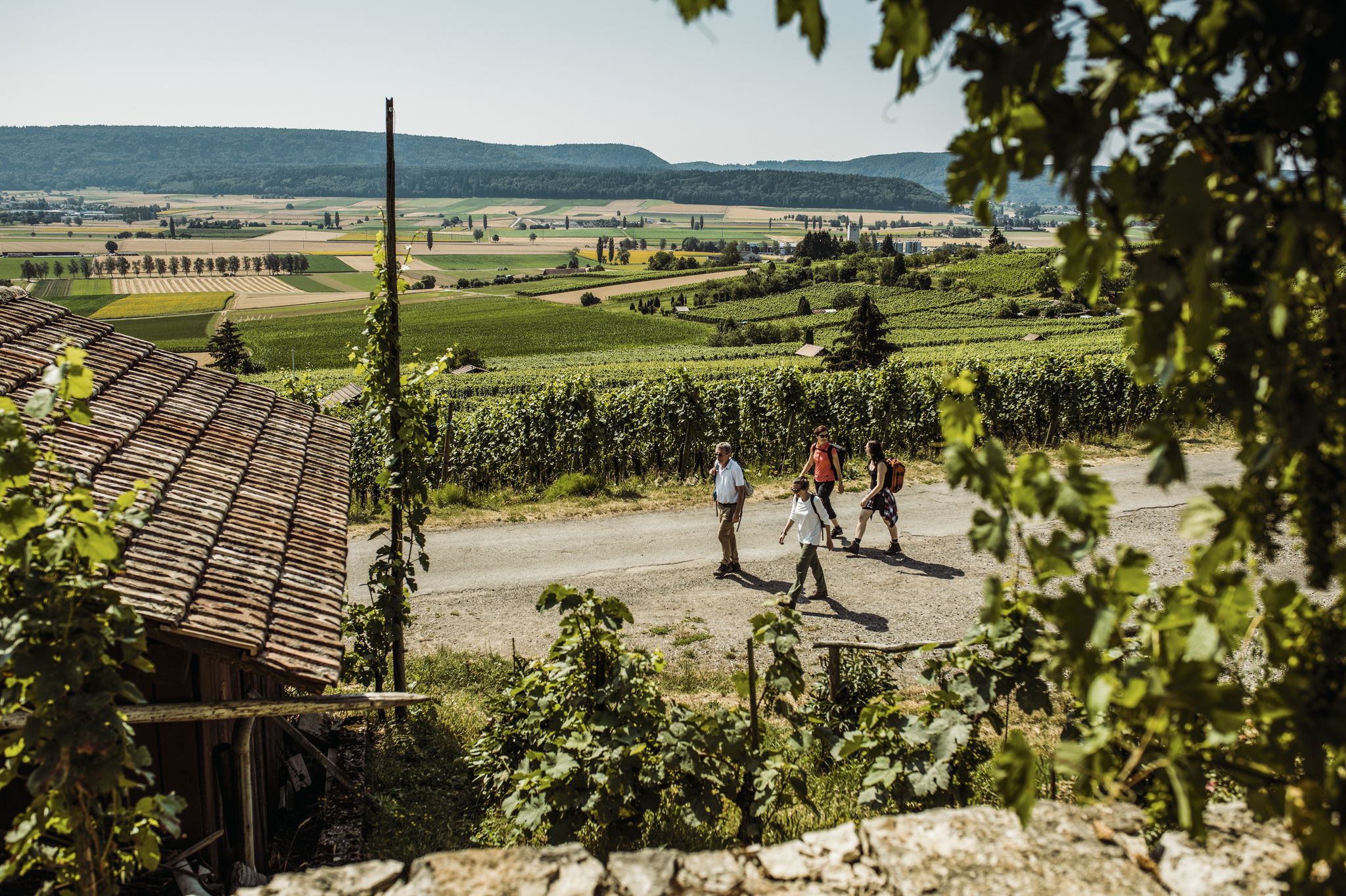
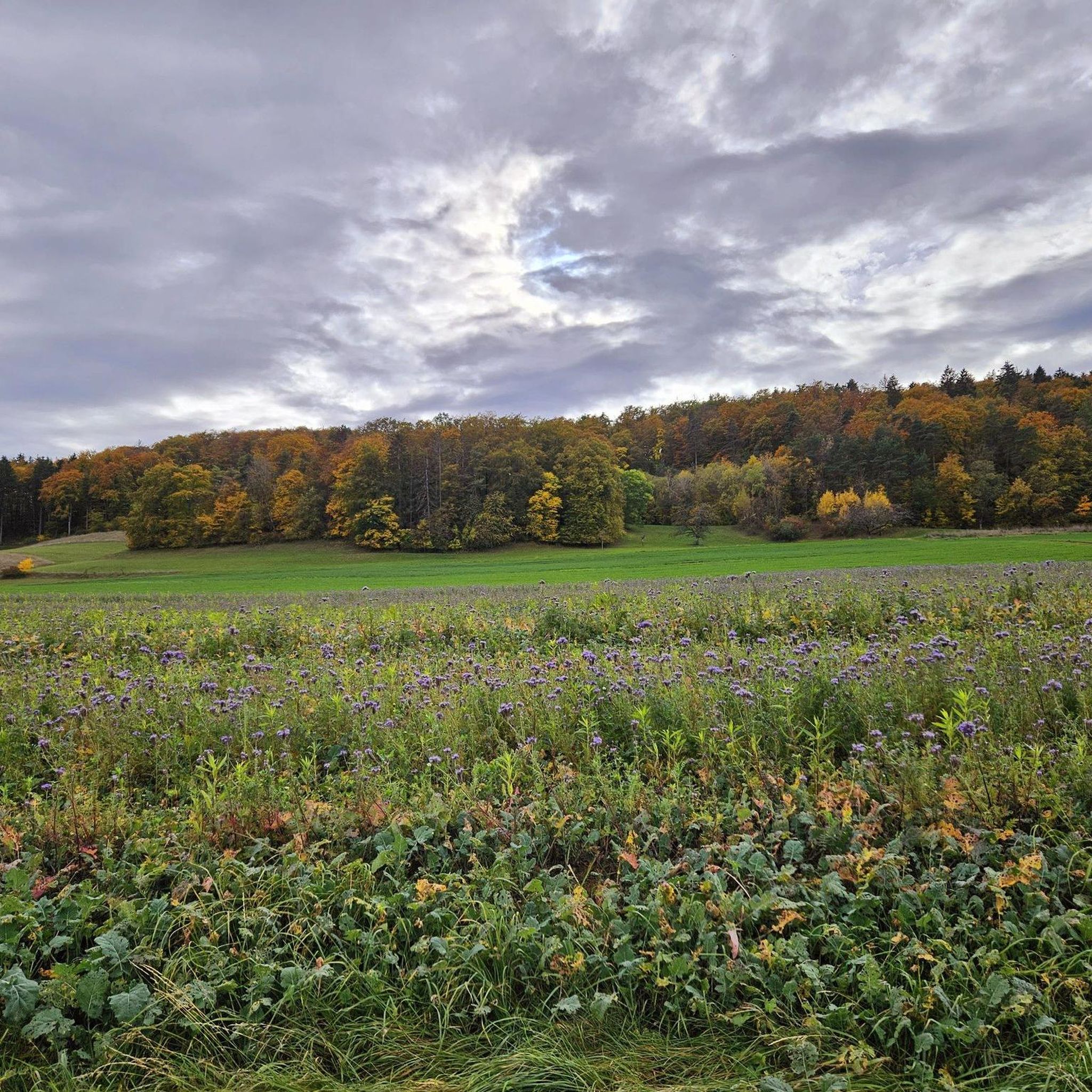
Hiking around Thayngen offers diverse landscapes, from dense forests to rolling vineyards and hills. The region, situated near the German border, features trails along the Rhine River and through the Thaynger Wald. Hikers can explore a mix of cultivated areas and natural features, including the proximity to the Rhine Falls. The terrain includes gentle paths and more challenging ascents through varied elevations.
Best hiking trails around Thayngen
- The most popular hiking route is Reiatweg, a difficult 11.7 miles (18.9 km) trail that takes 5 hours 25 minutes to complete. This route offers diverse views, including distant glimpses of the Swiss Alps.
- Another top favourite among local hikers is Unteri Bsetzi – Gwölb Barbecue Area loop from Thayngen, a moderate 7.0 miles (11.2 km) path. This trail leads through varied landscapes, including forested sections and open countryside.
- Local hikers also love the Kesslerloch Cave – Small Cave loop from Thayngen, a 3.2 miles (5.1 km) trail leading through the historic Kesslerloch Cave area, often completed in about 1 hour 22 minutes.
- Hiking around Thayngen is defined by dense forests, scenic vineyards, and paths along the Rhine River. The network offers options for different ability levels, from easy walks to more challenging treks.
- The routes in Thayngen are highly rated by the komoot community with an average score of 4.5 stars from over 150 reviews. More than 600 hikers have used komoot to explore Thayngen's varied terrain.
Last updated: May 17, 2026
4.5
(14)
105
hikers
18.9km
05:25
440m
440m
Hard hike. Very good fitness required. Easily-accessible paths. Suitable for all skill levels.
3.8
(8)
24
hikers
11.2km
03:00
120m
120m
Moderate hike. Good fitness required. Easily-accessible paths. Suitable for all skill levels.

Sign up for free
4.4
(7)
24
hikers
5.11km
01:22
60m
60m
Easy hike. Great for any fitness level. Easily-accessible paths. Suitable for all skill levels.
4.5
(2)
13
hikers
7.15km
01:57
110m
110m
Easy hike. Great for any fitness level. Easily-accessible paths. Suitable for all skill levels.
4.9
(7)
21
hikers
8.39km
02:24
190m
190m
Moderate hike. Good fitness required. Easily-accessible paths. Suitable for all skill levels.
Get access to more routes and recommendations from other explorers.
Sign up for free
Already have an account?
Our route recommendations are based on thousands of hikes, rides, and runs completed by other people on komoot.
Start today with a free account
Your next adventure awaits.
Login or Signup


Tips from the Community

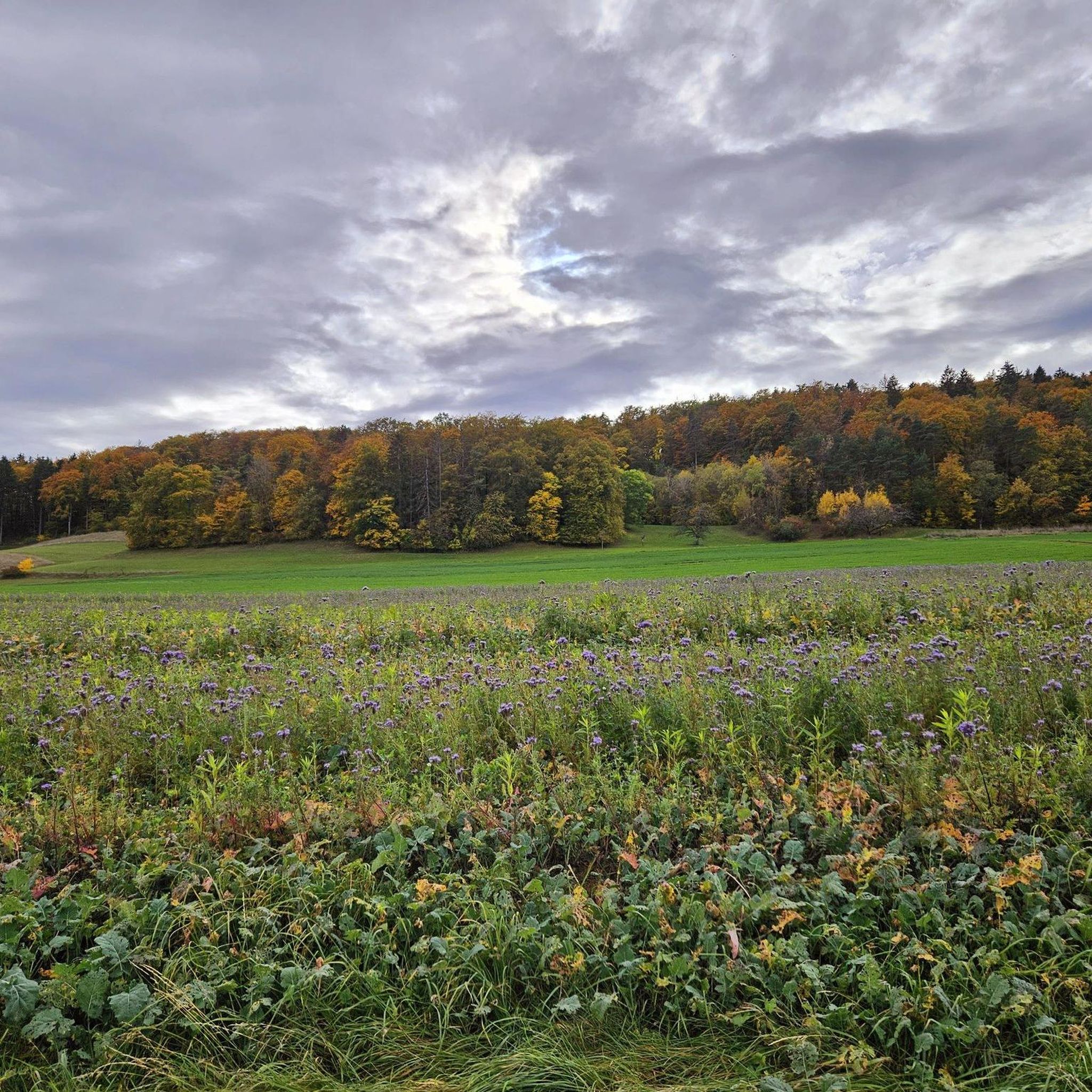
The landscape is very attractive and unspoiled.
1
0

I didn't see a cave. Still, it was a very beautiful area.
0
0


A historic half-timbered house. Why Holländer House?? In 1648, a Tobias Holländer bought the farm and built his noble residence there
0
0
Bench a little way off, invites you to take a break.
0
0
Unfortunately we were unlucky with the view, there was nothing to see except thick fog. Later in the afternoon the sun came out.
0
0
A border house was rebuilt at this location on the smugglers' ditch for viewing purposes. This ditch was used as a smuggling route, especially during World War II.
0
0
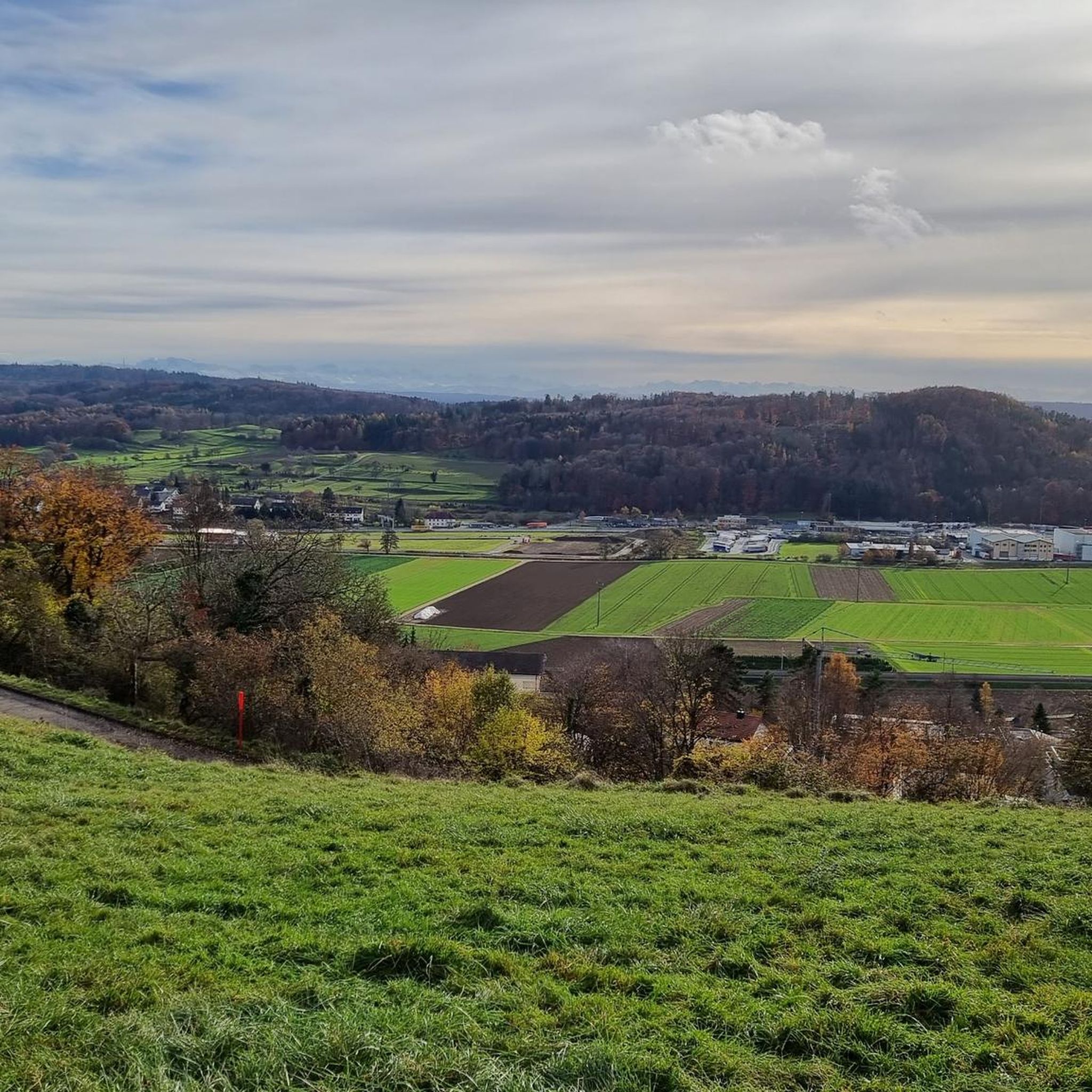
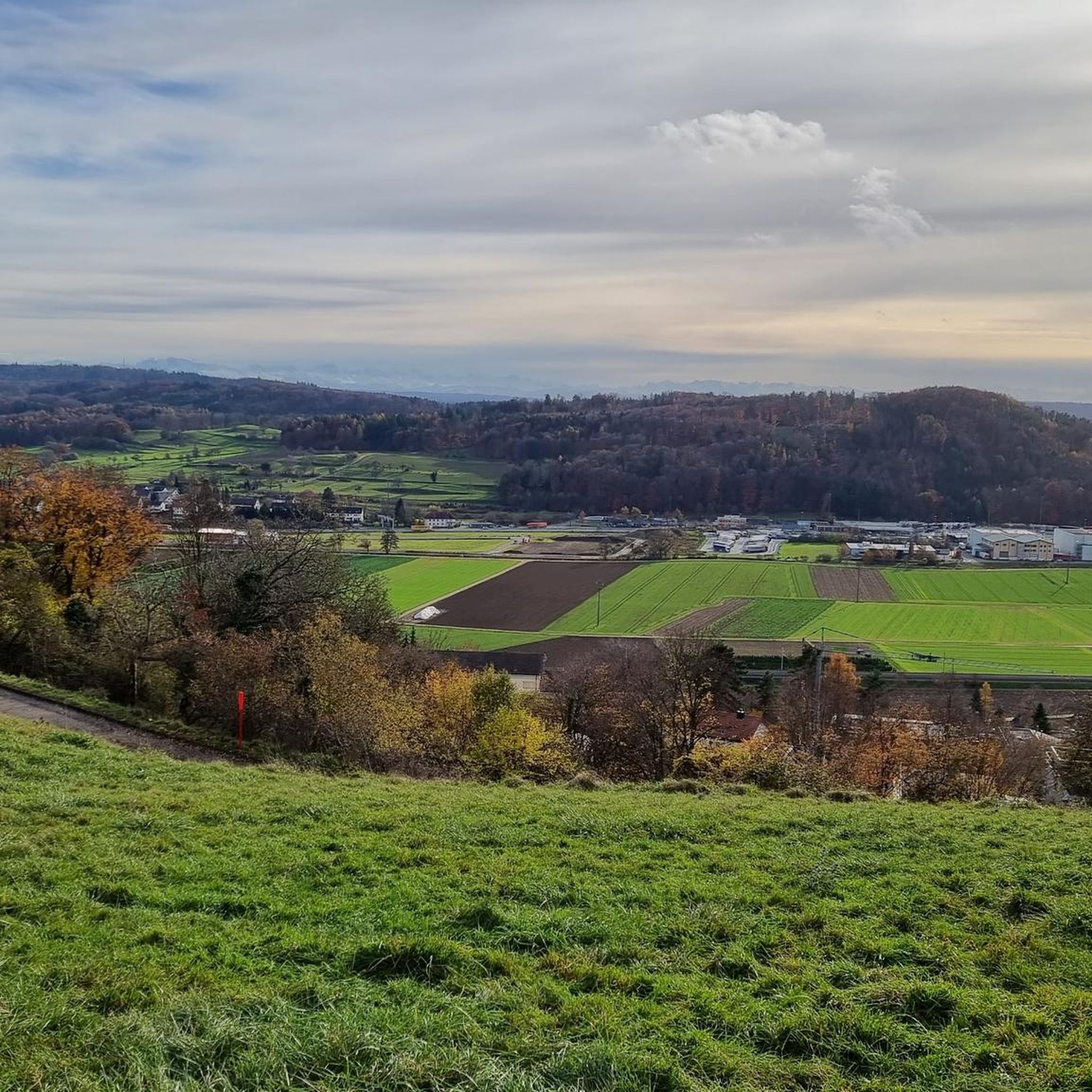
Beautiful view over to the Hegau
0
0
Frequently Asked Questions
How many hiking trails are available around Thayngen?
There are over 40 hiking routes around Thayngen, offering a diverse range of experiences. These include 22 easy, 15 moderate, and 3 difficult trails, ensuring options for every fitness level.
Are there any easy, family-friendly hikes in Thayngen?
Yes, Thayngen offers several easy, family-friendly options. A good choice is the Kesslerloch Cave – Small Cave loop from Thayngen, which is 3.2 miles (5.1 km) long and takes about 1 hour 22 minutes. This trail leads through the historic Kesslerloch Cave area, which is a notable highlight for its prehistoric significance.
What kind of landscapes can I expect to see on hikes around Thayngen?
Hiking around Thayngen offers diverse landscapes, from the dense
Thaynger Wald (forests) to rolling vineyards and open countryside. Many routes also feature paths along the Rhine River, providing a mix of woodland and riverside walking. You can also find trails with distant views of the Swiss Alps and the volcanic Hegau region.
Are there any hikes that lead to waterfalls or significant natural features?
Yes, Thayngen's proximity to the Rhine River means you can find trails leading to the stunning Rhine Falls, Europe's largest waterfall. While not directly in Thayngen, it's a short hike away and offers breathtaking views. The region also features the prehistoric Kesslerloch Cave, which can be explored on a loop from Thayngen.
What do other hikers enjoy most about the trails in Thayngen?
The trails in Thayngen are highly rated by the komoot community, with an average score of 4.5 stars from over 150 reviews. Hikers often praise the diverse views, including glimpses of the Swiss Alps, the varied landscapes of forests and vineyards, and the well-maintained paths suitable for different abilities.
Are there any circular hiking routes available in Thayngen?
Yes, many routes around Thayngen are designed as loops. For example, the Unteri Bsetzi – Gwölb Barbecue Area loop from Thayngen is a moderate 7.0 miles (11.2 km) path that takes you through varied landscapes. Another option is the Small Cave – Kurzloch Rock Formation loop from Thayngen, an easy 7.14 km trail.
Can I find any historical landmarks or castles along the hiking trails?
Yes, the region around Thayngen is rich in historical landmarks. You can find trails that offer views of or lead to various castles and ruins. Notable examples include Hohenhewen Castle, Hohenkrähen Castle Ruins, and Laufen Castle at the Rhine Falls. The Kesslerloch Cave also offers a glimpse into prehistoric human habitation.
What is the longest or most challenging hike in the area?
For those seeking a more challenging experience, the Reiatweg is a difficult 11.7 miles (18.9 km) trail that typically takes about 5 hours 25 minutes to complete. This route offers diverse views, including distant glimpses of the Swiss Alps.
Are there any viewpoints or observation towers accessible by hiking?
Yes, the area features several excellent viewpoints. Hikers can reach the Hagenturm Observation Tower or Napoleonseck, both offering panoramic vistas of the surrounding landscapes, including the Hegau volcanic region and potentially the Swiss Alps.
Are there any moderate hikes that offer a good balance of distance and scenery?
Certainly. The Unteri Bsetzi – Gwölb Barbecue Area loop from Thayngen is a popular moderate option, covering 7.0 miles (11.2 km). This trail leads through varied landscapes, including forested sections and open countryside, making it a great choice for a half-day adventure.
What is the best time of year to go hiking in Thayngen?
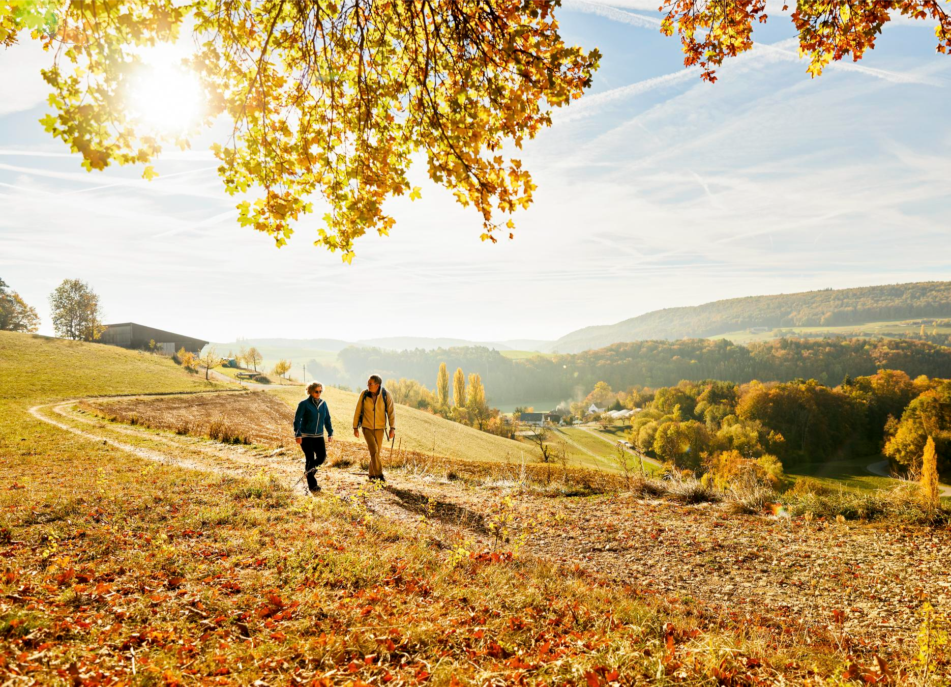
Thayngen offers pleasant hiking conditions throughout much of the year. Spring and autumn are particularly beautiful, with blooming flora or vibrant fall colors in the forests and vineyards. Summer is also popular, though some trails might be more exposed to the sun. Winter hikes are possible, especially on lower elevation trails, offering a different, serene experience.
Most popular attractions around Thayngen

Get inspired with the komoot mobile app


Explore more
Browse the best Hikes in other regions.
