The 20 Most Amazing Peaks around Brissago-Valtravaglia
Mountain peaks around Brissago-Valtravaglia, situated in the province of Varese, Lombardy, Italy, provide access to varied pre-Alpine landscapes. This region features panoramic views over Lake Maggiore and the surrounding valleys. The area is characterized by its natural features, including prominent peaks and ancient mountain pastures. Visitors can explore a range of hiking experiences, from moderate trails to challenging alpine ascents.
Best mountain peaks around Brissago-Valtravaglia
- The most popular mountain peaks is Cross at Pizzoni di Laveno, a summit that…
Last updated: July 6, 2026
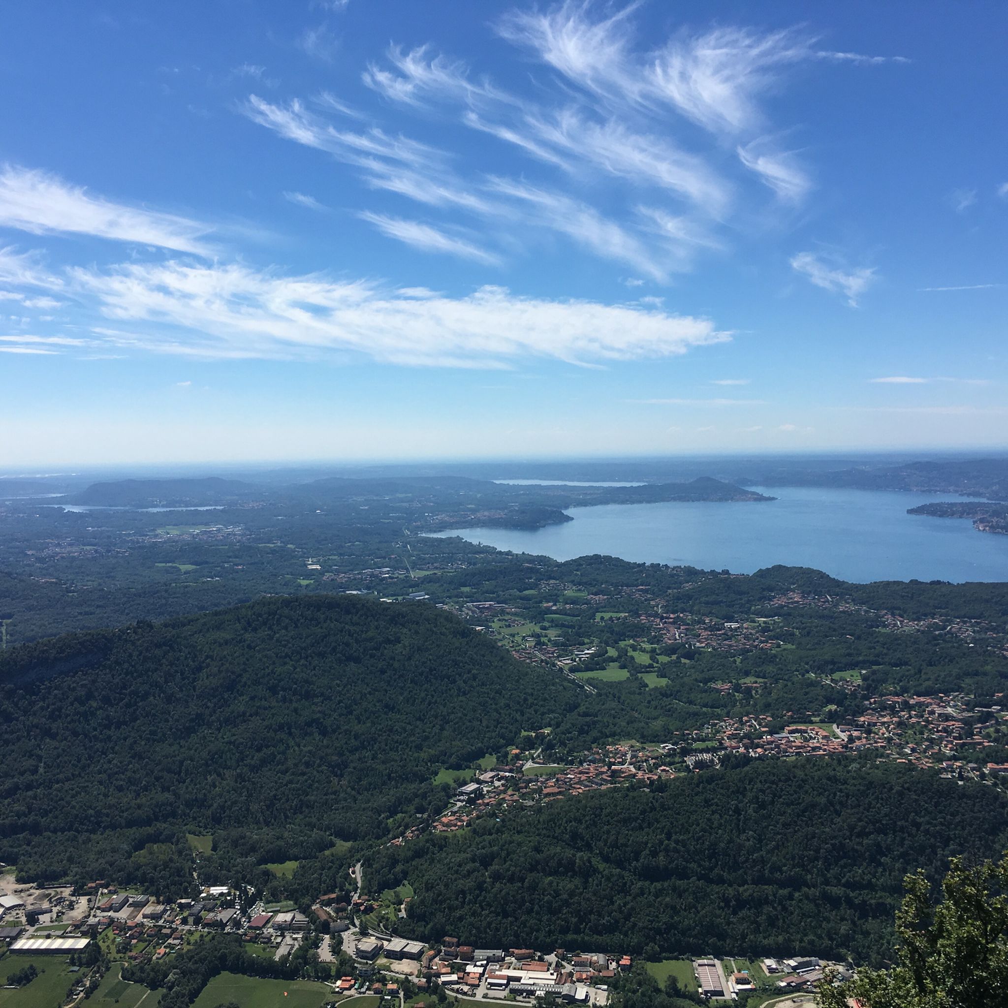
View from Sasso del Ferro
Highlight • Viewpoint
Translated by Google •
Tip by

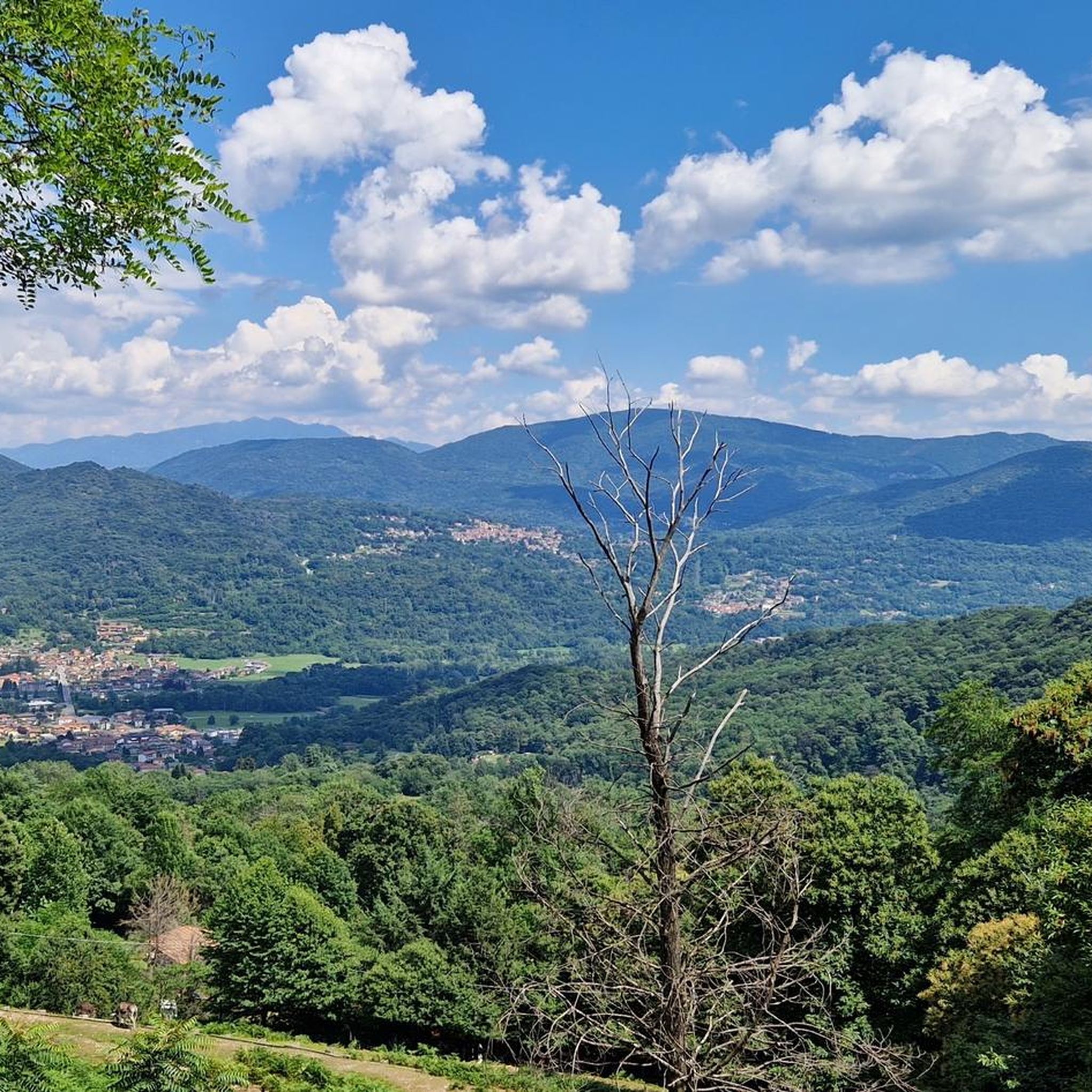
Cross at Pizzoni di Laveno
Highlight • Summit
Translated by Google •
Tip by

Sign up now to discover places like this
Get recommendations on the best single tracks, peaks, & plenty of other exciting outdoor places.
Sign up for free
Monte Chiusarella — Summit and Summit Cross
Highlight • Summit
Translated by Google •
Tip by

Cuvignone Pass
Highlight • Mountain Pass
Translated by Google •
Tip by

Monte Piambello
Highlight • Summit
Translated by Google •
Tip by

Sign up for free to discover even more peaks around Brissago-Valtravaglia.
Sign up for free
Already have an account?
Start today with a free account
Your next adventure awaits.
Login or Signup

Tips from the Community

Getting to the top is exciting.
0
0


a classic from the Varese area. It's worth it.
1
0


Pleasant. Be very careful when cutting through the woods or taking the short route. The gentlest route, starting from Rasa keeping to the right, is suitable for practically everyone.
0
0

Unfortunately, you can no longer see all around because the trees have grown too high. But there is a fantastic view towards Varese. The descent in a northeasterly direction (towards Larese) is not recommended because there are so many trees and branches (storm?) blocking the path, and the alternative paths are rocky, steep and sometimes slippery. Poles recommended.
1
0

The top offers a breathtaking view!
0
0

Frequently Asked Questions
What are some of the most notable mountain peaks and viewpoints in the Brissago-Valtravaglia region?
The region offers a variety of captivating peaks and viewpoints. Beyond the popular Cross at Pizzoni di Laveno, which provides a magnificent panorama over Lake Maggiore, you can explore Monte Chiusarella — Summit and Summit Cross for a 360° view of the lakes and Alpine belt. For an easily accessible panoramic spot, consider the View from Sasso del Ferro.
Are there any mountain passes in the area that serve as good starting points for hikes?
Yes, the Cuvignone Pass, located at 1,050 meters, is a well-known starting point for various hiking trails. While the pass itself doesn't offer direct views, the roads leading to it are very scenic, and the trails from the pass provide opportunities to admire Lake Maggiore.
Which peaks offer historical or cultural points of interest?
For a blend of nature and history, Monte Piambello is part of a multi-day trail that traces the fortifications of the Cadorna Line. Additionally, Alpe San Michele, near Porto Valtravaglia, features a small Lombard Romanesque church from the 11th-12th century with remnants of early medieval frescoes, adding cultural value to its panoramic views.
What are some challenging mountain peaks for experienced hikers in the Brissago-Valtravaglia area?
For experienced mountaineers, Monte Gridone (also known as Monte Limidario) is a challenging alpine hike. Reaching 2188 meters, it's the highest peak on the shore of Lago Maggiore and offers one of the most beautiful panoramic views, including Monte Rosa and the Centovalli. Pizzo Leone, at 1734 meters, also presents a significant challenge with fantastic views over Lake Maggiore.
Are there family-friendly hiking options among the mountain peaks?
Yes, Monte Chiusarella — Summit and Summit Cross is considered family-friendly, featuring a characteristic summit meadow and offering a 360° panorama that can be enjoyed by all. The View from Sasso del Ferro is also easy to reach, making it suitable for families looking for great views without a strenuous climb.
What kind of natural features can I expect to see on the mountain trails?
The region is characterized by diverse pre-Alpine scenery. You'll encounter beech forests, ancient mountain pastures like Alpe San Michele, and unique calcareous soil meadows, such as the 'Prati Magri' on Monte Chiusarella. The trails often lead through woods and offer expansive views of Lake Maggiore and surrounding valleys.
What are some recommended hiking routes near the mountain peaks of Brissago-Valtravaglia?
You can find a variety of hiking routes in the area. A moderate option is the Monte Pian Nave – loop tour, which offers an immersive experience in the local landscape. For a more challenging adventure, consider the route 'From Arcumeggia Painted Village to Lake Maggiore via Monte San Martino'. Many other trails are available for different difficulty levels; explore more at Hiking around Brissago-Valtravaglia.
Are there opportunities for running or cycling near these mountain peaks?
Absolutely. The region offers several routes suitable for running and gravel biking. For running, you can explore options like the 'Mady loop from Brezzo di Bedero' or the 'Washhouse of Brezzo di Bedero – Cadorna Line Fortress loop'. Gravel biking enthusiasts can find challenging routes such as the 'Madonna dei Ciclisti Shrine – Lake Ghirla loop from Luino'. Discover more at Running Trails around Brissago-Valtravaglia and Gravel biking around Brissago-Valtravaglia.
What do visitors particularly enjoy about the mountain peaks in Brissago-Valtravaglia?
Visitors consistently praise the magnificent panoramic views, especially over Lake Maggiore and the surrounding mountains. The sense of accomplishment after a challenging climb, like to the Cross at Pizzoni di Laveno, is often highlighted. The diverse landscapes, from dense forests to open meadows, and the historical elements also contribute to a highly appreciated experience.
What is the best time to visit the mountain peaks in Brissago-Valtravaglia?
The pre-Alpine nature of the region makes spring and autumn ideal for hiking, with pleasant temperatures and vibrant foliage. Summer offers warmer conditions, suitable for higher altitude trails, but can be very warm on lower, exposed paths. Winter can be beautiful for snowshoeing or specific winter hikes, but some higher or more challenging routes might require specialized equipment and experience due to snow and ice.
Where can I find a peak that offers views of Monte Rosa?
For views of the majestic Monte Rosa, you should consider hiking Monte Gridone (Monte Limidario). This impressive border mountain, the highest peak on the shore of Lago Maggiore, provides extensive vistas that include Monte Rosa and the Centovalli on clear days.
Are there any peaks directly associated with the municipality of Brissago-Valtravaglia itself?
Yes, Monte Pian Nave is directly associated with Brissago-Valtravaglia, with the municipality itself being situated among its woods. A loop tour around Monte Pian Nave is a recommended hike, offering an immersive experience in the local landscape and panoramic viewpoints close to the town center.
Most popular routes around Brissago-Valtravaglia
Most popular attractions around Brissago-Valtravaglia

Get inspired with the komoot mobile app


Explore more
See even more amazing summits around Brissago-Valtravaglia with these guides:
