The best walks and hikes around Brissago-Valtravaglia
4.4
(8012)
32,834
hikers
708
hikes
Hiking around Brissago-Valtravaglia, a municipality in the Province of Varese, Lombardy, Italy, offers diverse landscapes for outdoor exploration. The region is characterized by mountainous and hilly terrain, with hillsides descending towards valleys and the nearby Lake Maggiore. Trails traverse woods, riverbanks, and historical sites, providing varied environments for hikers.
Best hiking trails around Brissago-Valtravaglia
- The most popular hiking route is Via Verde Varesina: Stage 6 Loop, a 6.5 miles (10.4 km) trail that takes 3 hours 57 minutes to…
Last updated: May 12, 2026
4.6
(52)
166
hikers
10.4km
03:57
550m
570m
Hike the moderate 6.5-mile Via Verde Varesina: Stage 6 Loop, offering diverse pre-Alpine scenery and multiple mountain summits.
4.6
(29)
86
hikers
3.98km
01:30
210m
210m
Moderate hike. Great for any fitness level. Mostly accessible paths. Sure-footedness required.

Sign up for free
4.3
(7)
35
hikers
18.8km
07:23
970m
970m
Forest hike through Italy's open-air art village with WWI history and seven-lake views.
3.5
(2)
11
hikers
7.40km
03:25
670m
670m
Moderate hike. Good fitness required. Mostly accessible paths. Sure-footedness required.
4.5
(4)
13
hikers
7.94km
02:34
370m
370m
Hike the moderate 4.9-mile Linea Cadorna WWI Trenches Trail (via Sentiero 260) to explore historical fortifications and panoramic views of L
Get access to more routes and recommendations from other explorers.
Sign up for free
Already have an account?
Our route recommendations are based on thousands of hikes, rides, and runs completed by other people on komoot.
Start today with a free account
Your next adventure awaits.
Login or Signup

Tips from the Community

Here, you can camp and barbecue. There are stone benches and tables, and plenty of space under the trees.
0
0

Chiesetta S.Michele al Monte (Porto Valtravaglia) Church of San Michele al Monte The millennial church of San Michele al Monte is located in the area of the current municipality of Porto Valtravaglia, at about 820 meters. The church of San Michele al Mt. was built to ensure that people who lived in the mountains during spring and summer could attend religious services. The small church of San Michele al Monte has a very simple structure: about 30 square meters, with a semicircular apse facing east according to ancient tradition. The apse, the oldest part of the small church, dating from the second half of the 11th century, features well-aligned rows of stones and pebbles with clear fish-hook bands. The sacristy and bell tower are believed to have been added in the 19th century. In 1965 the roof of the sacristy collapsed. In 2000 the roof was completely rebuilt and walls and foundations were restored. Discoveries followed: in 2001, important frescoes from the 11th to 14th centuries were discovered and restored. Already described in the 15th century, they were later hidden under new paving, and the church was even used to house tools and animals. Text: Porto Valtravaglia Parish
10
4

dominates the Valtravaglia and beyond
1
0

spectacular
2
1

The thousand-year-old church of San Michele is located in the territory of the current municipality of Porto Valtravaglia, at approximately 820 meters above sea level. It was built to provide a place of prayer for people who went to the mountains in spring and summer.
1
0

🚶Stop near the Statue of the Madonna🛐from where you can admire the panorama over the entire valley🌈
0
0

Beautiful and historic outdoor classroom, trenches, crazy houses, walkways and machine gun positions kept in good condition. Easy although long climb up to Vallalta where the fort is also present. Recommended for hiking, MTB and history enthusiasts.
0
0

Madonna which is located in a beautiful panoramic point.
1
0
Frequently Asked Questions
How many hiking trails are available in Brissago-Valtravaglia?
There are over 700 hiking routes in Brissago-Valtravaglia, catering to a wide range of preferences and skill levels. You'll find everything from easy strolls to challenging mountain ascents.
What kind of terrain can I expect on hikes in Brissago-Valtravaglia?
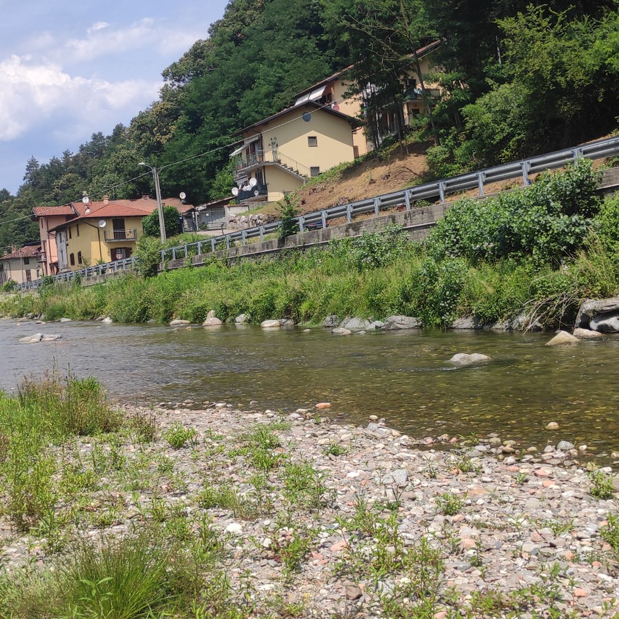
The region offers diverse terrain, including mountainous and hilly landscapes with trails through the woods of Monte Pian Nave, San Martino, Colonna, and Nudo. You can also find pleasant walks along riverbanks in the Valtravaglia valley and routes descending towards Lake Maggiore. The area's subtropical climate fosters lush and varied vegetation.
Are there any waterfalls I can visit while hiking?
Yes, the region is home to several beautiful waterfalls. A notable natural attraction is the Roggiano waterfall, a picturesque cascade. You can also explore highlights like Cascata della Froda, Pevereggia Waterfalls, and Fermona Waterfall.
Are there any historical or cultural landmarks along the hiking trails?
Absolutely. History enthusiasts can explore the Linea Cadorna trenches, offering an 'outdoor classroom' experience. You might also encounter historical churches like San Michele al Monte, or even the abandoned village of Cavojasca, steeped in local legends. The Sacro Monte of Ghiffa is another significant cultural highlight nearby.
Are there any family-friendly hiking options in Brissago-Valtravaglia?
Yes, there are many family-friendly routes. The region's diverse trails include easier paths suitable for families. A unique experience for children and adults alike is the 'Bosco delle Fate' (Fairy Wood), a magical trail featuring wooden and stone sculptures amidst chestnut and oak trees, often part of a moderate loop to the Roggiano waterfall.
Can I find challenging hikes in the area?
Yes, Brissago-Valtravaglia offers challenging hikes for experienced trekkers. Approximately 117 routes are rated as difficult. An example of a more demanding route is From Arcumeggia Painted Village to Lake Maggiore via Monte San Martino, which covers nearly 19 km with significant elevation changes.
What do other hikers say about the trails in Brissago-Valtravaglia?
The komoot community highly rates the hiking experience in Brissago-Valtravaglia, with an average score of 4.4 stars from over 7,000 reviews. Hikers often praise the varied terrain, the stunning panoramic views, and the combination of natural beauty with historical sites.
Are there any circular hiking routes available?
Yes, many routes in Brissago-Valtravaglia are designed as loops, allowing you to start and end at the same point. For instance, the Via Verde Varesina: Stage 6 Loop is a popular moderate circular route, and the Monte Pian Nave – loop tour is another great option for a shorter circular hike.
Are dogs allowed on the hiking trails?
While specific regulations can vary by trail or protected area, generally, dogs are welcome on many hiking trails in Brissago-Valtravaglia, provided they are kept on a leash and owners clean up after them. It's always advisable to check local signage or specific route details for any restrictions.
What are some notable viewpoints in the region?
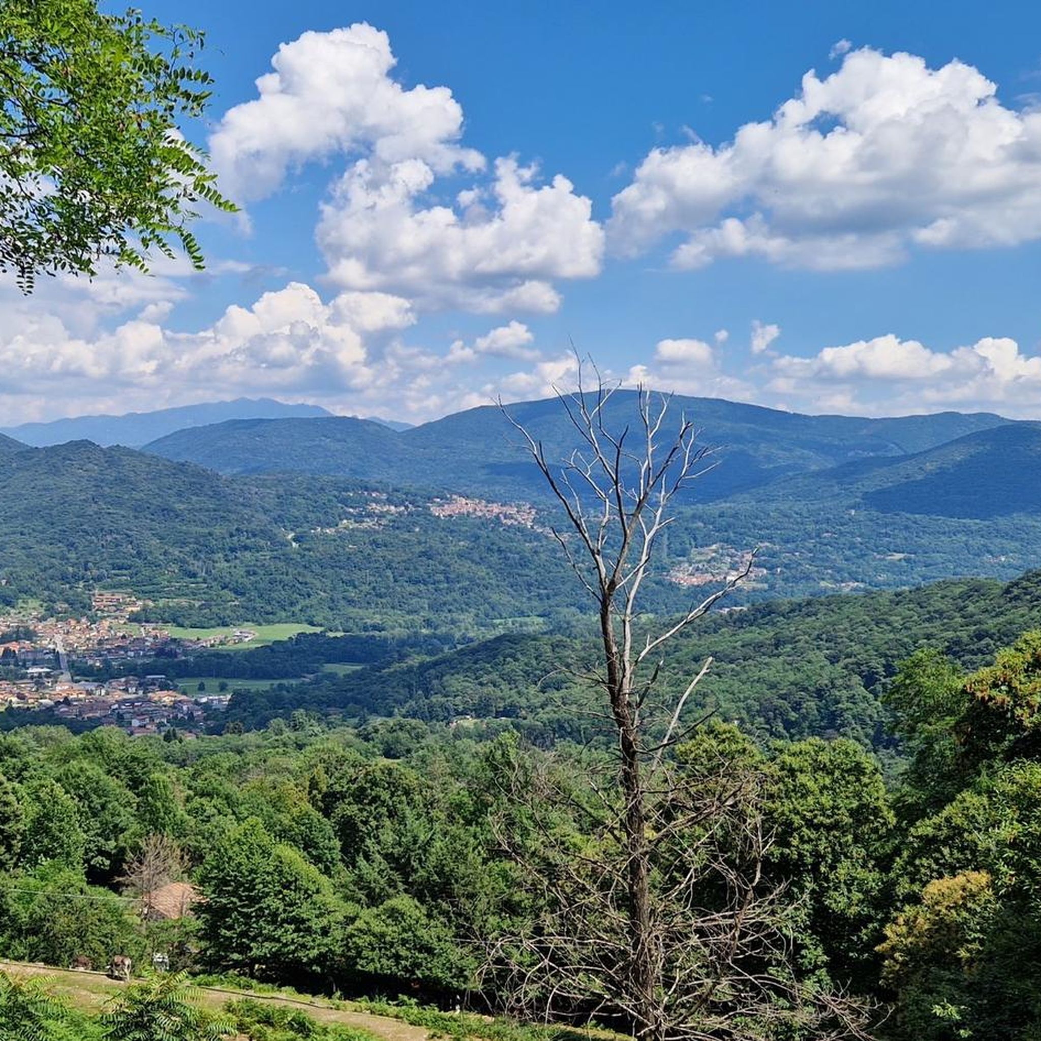
The mountainous terrain offers numerous panoramic viewpoints. Areas near the Statue of the Madonna provide spectacular vistas over the entire valley. Additionally, historical sites like the Church of San Michele al Monte, situated at 820 meters above sea level, often offer scenic outlooks. You can also find great views from Cross at Pizzoni di Laveno and Monte Chiusarella — Summit and Summit Cross.
Is public transport available to access hiking trailheads?
While specific public transport connections to every trailhead are not detailed, the municipality of Brissago-Valtravaglia is located about 15 kilometers northwest of Varese, suggesting some regional bus services. For detailed information on reaching specific starting points, it's recommended to consult local transport schedules.
Most popular routes around Brissago-Valtravaglia
Most popular attractions around Brissago-Valtravaglia

Get inspired with the komoot mobile app


Explore more
Browse the best Hikes in other regions.
