The best running trails around Origgio
4.2
(237)
13,142
runners
507
runs
Jogging around Origgio offers access to a network of trails and natural landscapes within the Lombardy region. The area features diverse running routes, ranging from easy paths with minimal elevation to more challenging trails. Key natural features include the Parco degli Aironi Lake, the Lura Cycle Path, and the historic Villoresi Canal, providing varied terrain for runners. The landscape around Origgio is characterized by a mix of parks, waterways, and green spaces, suitable for different fitness levels.
Best jogging routes…
Last updated: October 29, 2026
76
runners
Hard run. Very good fitness required. Mostly paved surfaces.
12
runners
11.5km
01:11
30m
30m
Moderate run. Good fitness required. Mostly paved surfaces.

5.0
(2)
8
runners
5.99km
00:37
10m
10m
Moderate run. Good fitness required. Mostly paved surfaces.
6
runners
13.1km
01:23
30m
30m
Moderate run. Good fitness required. Mostly paved surfaces.
6
runners
9.59km
01:02
30m
30m
Moderate run. Good fitness required. Mostly paved surfaces.
Get access to more routes and recommendations from other explorers.
Already have an account?
Our route recommendations are based on thousands of hikes, rides, and runs completed by other people on komoot.
Start today with a free account
Your next adventure awaits.
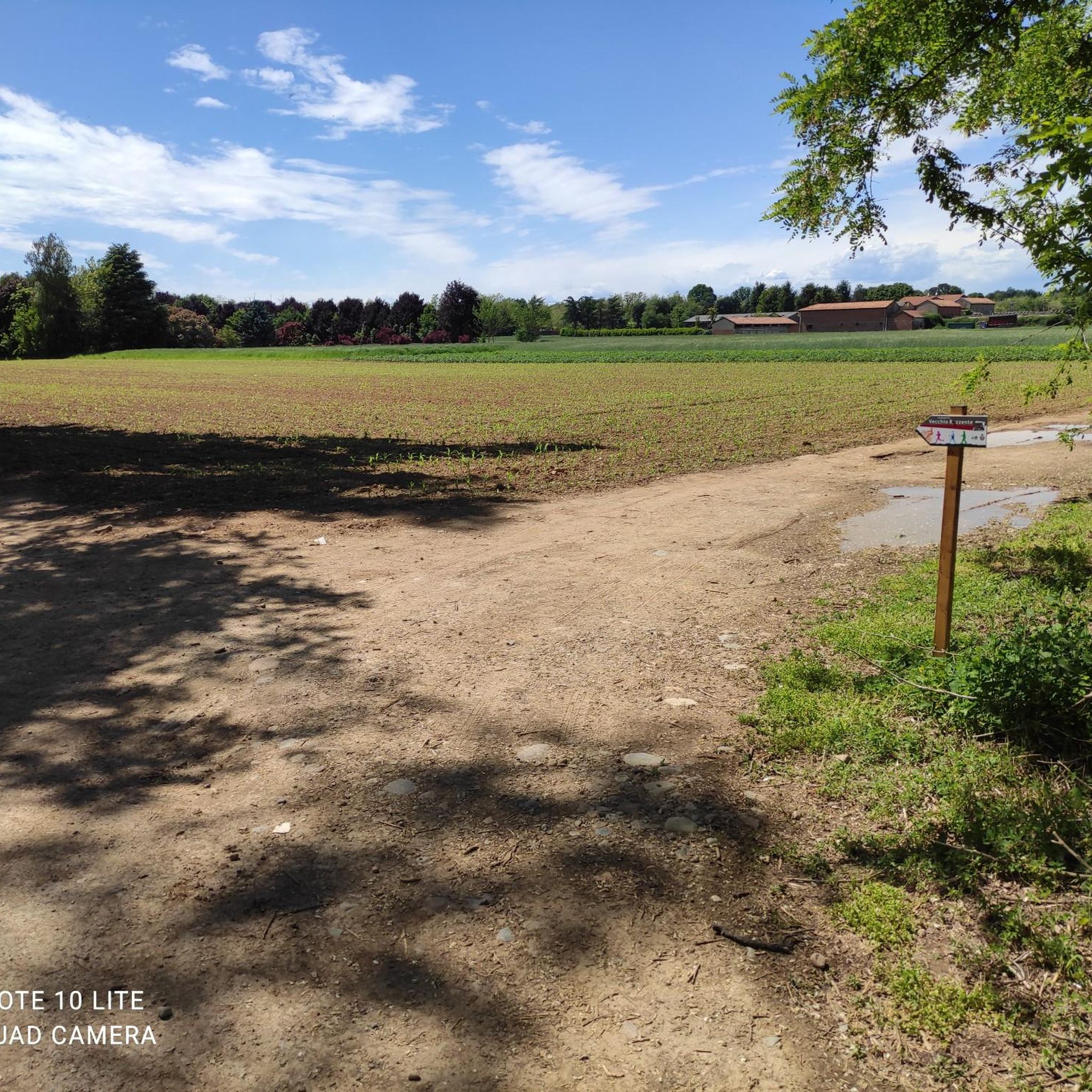
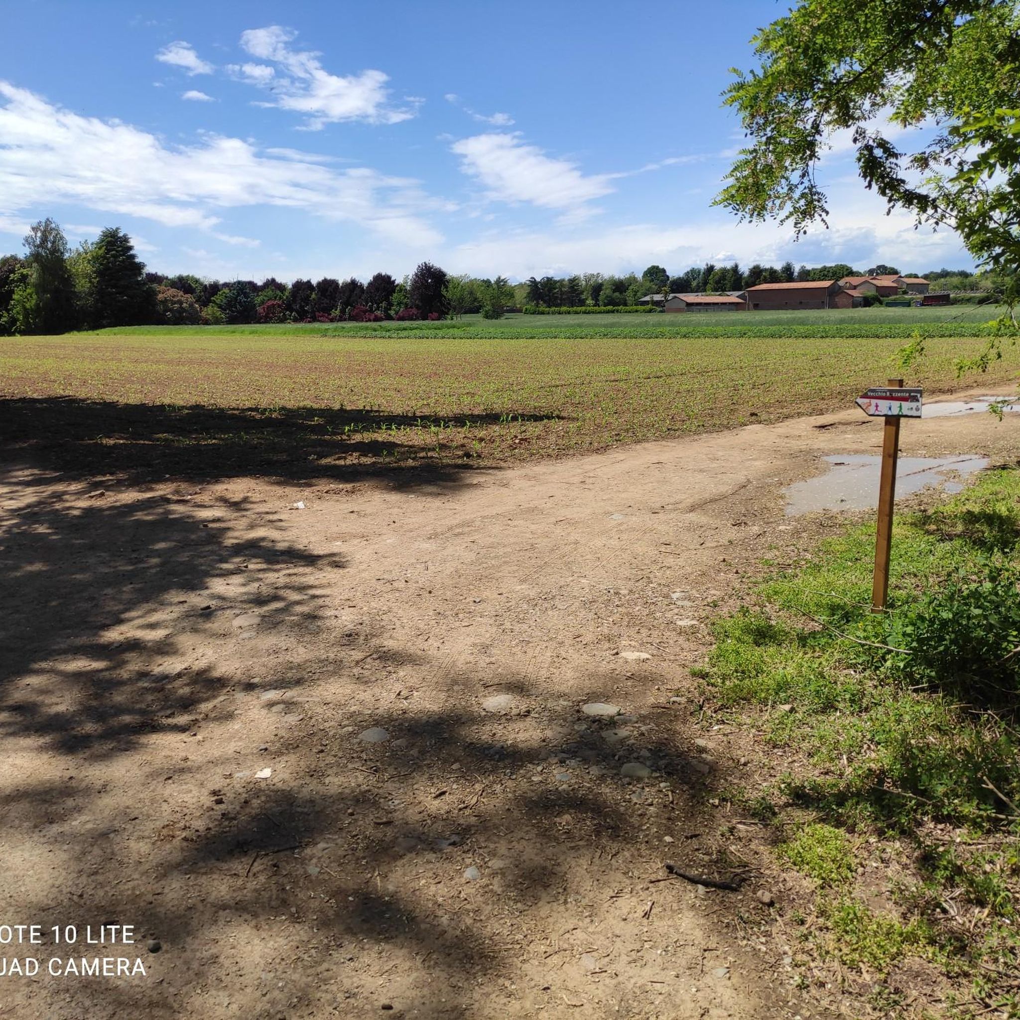
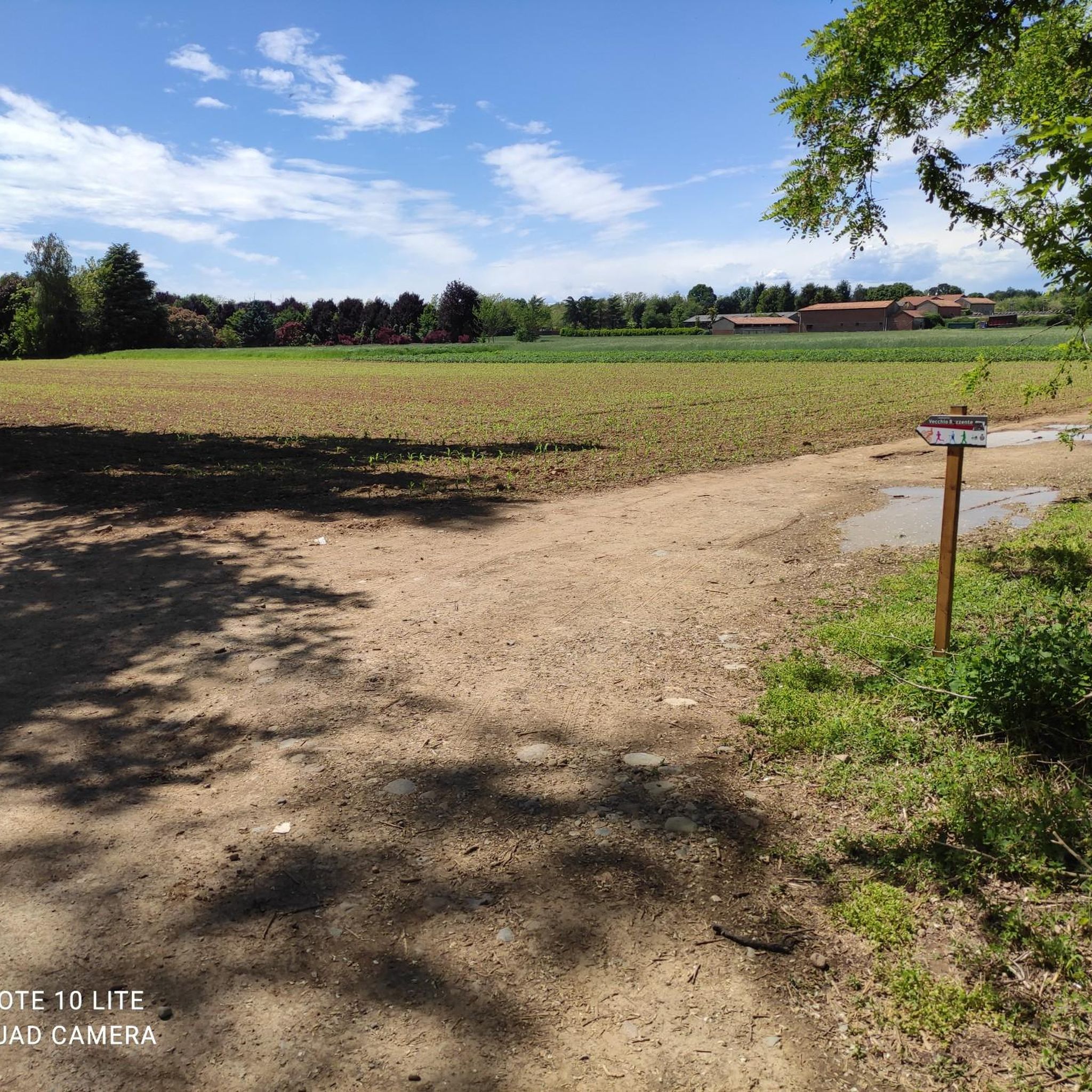

Tips from the Community

The Strada Alzaia Canale Villoresi is a service road of about 85-90 km that runs along the canal from Somma Lombardo (VA) to Cassano d'Adda (MI), managed by the Consorzio Est Ticino Villoresi. Although it is widely used by cyclists and walkers, it is not a real cycle path but a road for mixed use and maintenance.
0
0

The Villa Visconti Borromeo Arese Litta, located in Lainate (on the outskirts of Milan), is one of the most famous and spectacular "delight villas" in Northern Italy. Conceived at the end of the 16th century by Count Pirro I Visconti Borromeo, the residence is universally famous for its extraordinary Nymphaeum with water features, a masterpiece of hydraulic engineering and artistic decoration unique in Europe, designed to amaze, refresh, and entertain the nobles of the time.
0
0

Views from the Olona River Bridge🌊
0
0
The intersection between the Olona river and the Villoresi Canal occurs in the Alto Milanese area, specifically between the municipalities of Parabiago, Nerviano, and San Vittore Olona. This area is characterized by the intersection of local cycle paths (such as the Olona Greenway) and the long irrigation canal, offering naturalistic and historical routes.
1
0
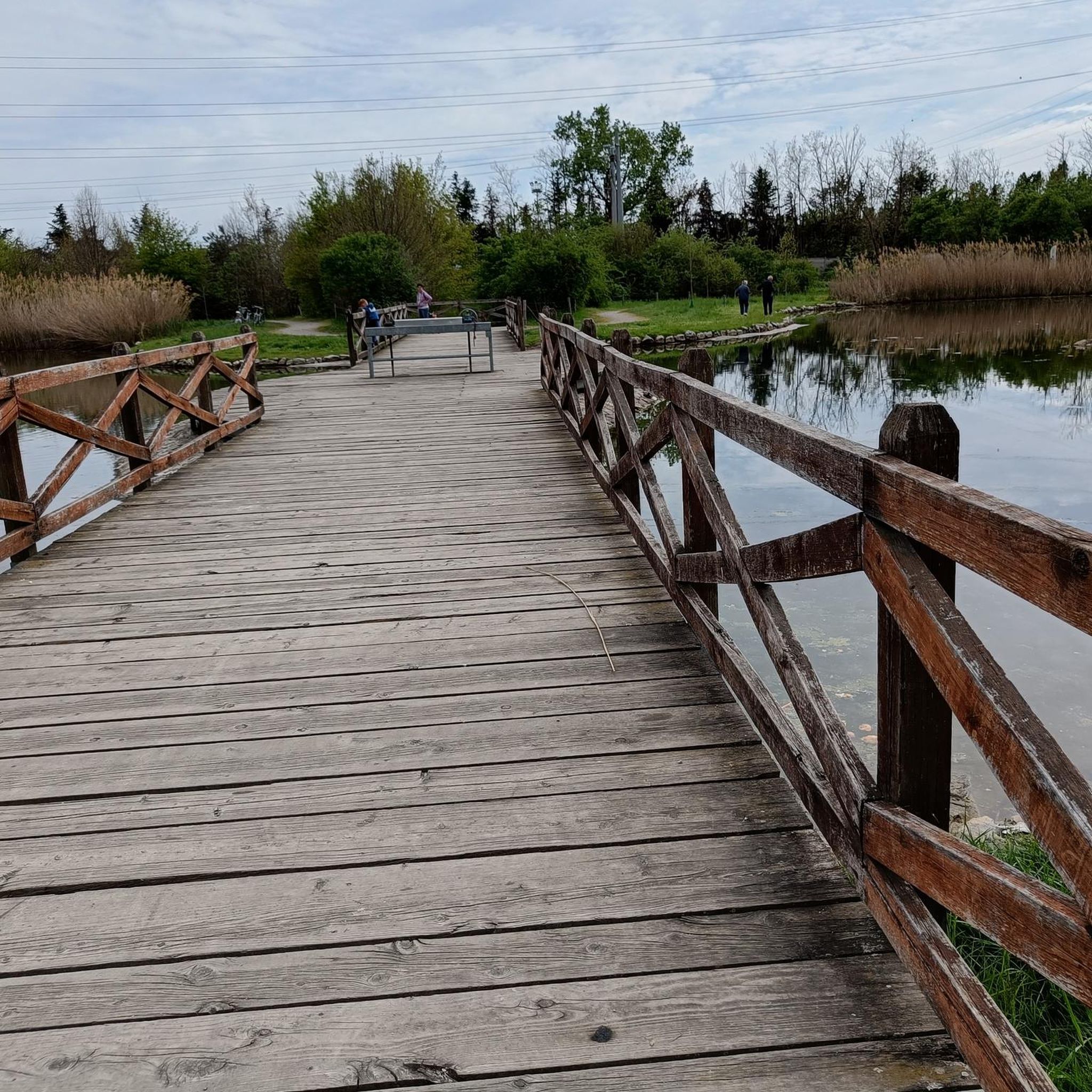
The Parco della Rosa Camuna in Lainate (MI) is a green area of 52,000㎡ known for its artificial pond in the shape of a Rosa Camuna, the symbol of Lombardy. Fed by the Villoresi canal, the park offers cycle and pedestrian paths, wooden walkways, and wooded areas, consolidating the relationship between the Lura stream and the Villoresi canal. The Rosa Camuna is one of the most famous rock carvings in Valcamonica, dating back to the Iron Age (7th-6th century BC). It represents a four-armed whirligig with 9 cupels (dots) and often symbolizes a star, and has been adopted by the Lombardy Region as its own emblem.
1
0

In Nerviano the cycle path is closed for maintenance.
1
1


Spring water flows here at around 9 – 12°C, rich in limestone. The fountain was particularly valuable for agricultural irrigation, as it exploited the proximity of the aquifer by bringing the water downstream via canals. In the past this technique allowed marcita cultivation, that is, flooding the fields. The practice is no longer widespread but the network of channels remains.
1
0
Frequently Asked Questions
How many running routes are available around Origgio?
There are over 400 running routes around Origgio, catering to various fitness levels. You'll find a mix of easy, moderate, and difficult trails to explore.
Are there easy running routes suitable for beginners in Origgio?
Yes, Origgio offers several easy running routes perfect for beginners. For example, the San Giacomo Spring – Easy Run loop from Uboldo is a moderate option that provides a less strenuous jog.
What kind of terrain can I expect on running trails in Origgio?
The running trails in Origgio offer diverse terrain, from mostly paved surfaces to more rugged paths within parks and along waterways. You can expect scenic views around lakes like Parco degli Aironi and paths along the historic Villoresi Canal.
Are there any long-distance running trails near Origgio?
For those seeking longer runs, the Lura Cycle Path🚲 – Rosa Camuna Pond loop from Origgio is a challenging 11.4-mile (18.3 km) path. The Villoresi Canal also offers extensive pathways that can be utilized for longer distances.
What are some scenic spots or natural features to see while jogging in Origgio?
Joggers in Origgio can enjoy several scenic spots. The loop around Rosa Camuna Pond offers pleasant views, as does the Lura Park. The historic Towpath of the Villoresi Canal is another significant natural and historical feature to explore.
Are there any circular running routes in the Origgio area?
Yes, many of the running routes in Origgio are circular. A popular option is the Parco degli Aironi Lake – View of Lake degli Aironi loop from Uboldo, which is a 7.6-mile (12.2 km) moderate trail offering scenic views around the lake.
What do other runners enjoy most about jogging in Origgio?
The running routes in Origgio are highly rated by the komoot community, with an average score of 4.3 stars from over 190 reviews. Runners often praise the varied terrain, the scenic views around lakes and canals, and the network of trails suitable for different abilities.
Are there any parks or green spaces ideal for running in Origgio?
Origgio is home to several parks and green spaces suitable for running. Lura Park offers various routes, and the area around Parco degli Aironi Lake is also a notable jogging spot. You can also find a Running loop from Origgio that leads through local parks.
Can I find running routes that are suitable for families with children?
While specific 'family-friendly' routes are not explicitly detailed, many of the easier and moderate trails, especially those on paved or well-maintained surfaces within parks, would be suitable for families. The diverse network allows you to choose routes with minimal elevation gain.
Are there any gravel running routes around Origgio?
Yes, you can find gravel running routes in the area. The Gravel Road loop from Uboldo is a moderate 8.2-mile (13.1 km) trail that provides an option for those who prefer running on gravel surfaces.
What are the best times of year for running in Origgio?
Origgio, located in the Lombardy region, generally offers pleasant conditions for running during spring and autumn when temperatures are mild. Summer can be warm, while winter might bring colder weather, but many routes remain accessible year-round.
Most popular attractions around Origgio

Get inspired with the komoot mobile app


Explore more
Browse the best Running Trails & Routes in other regions.
