The best road cycling routes around Scarlino
4.6
(480)
13,058
riders
36
rides
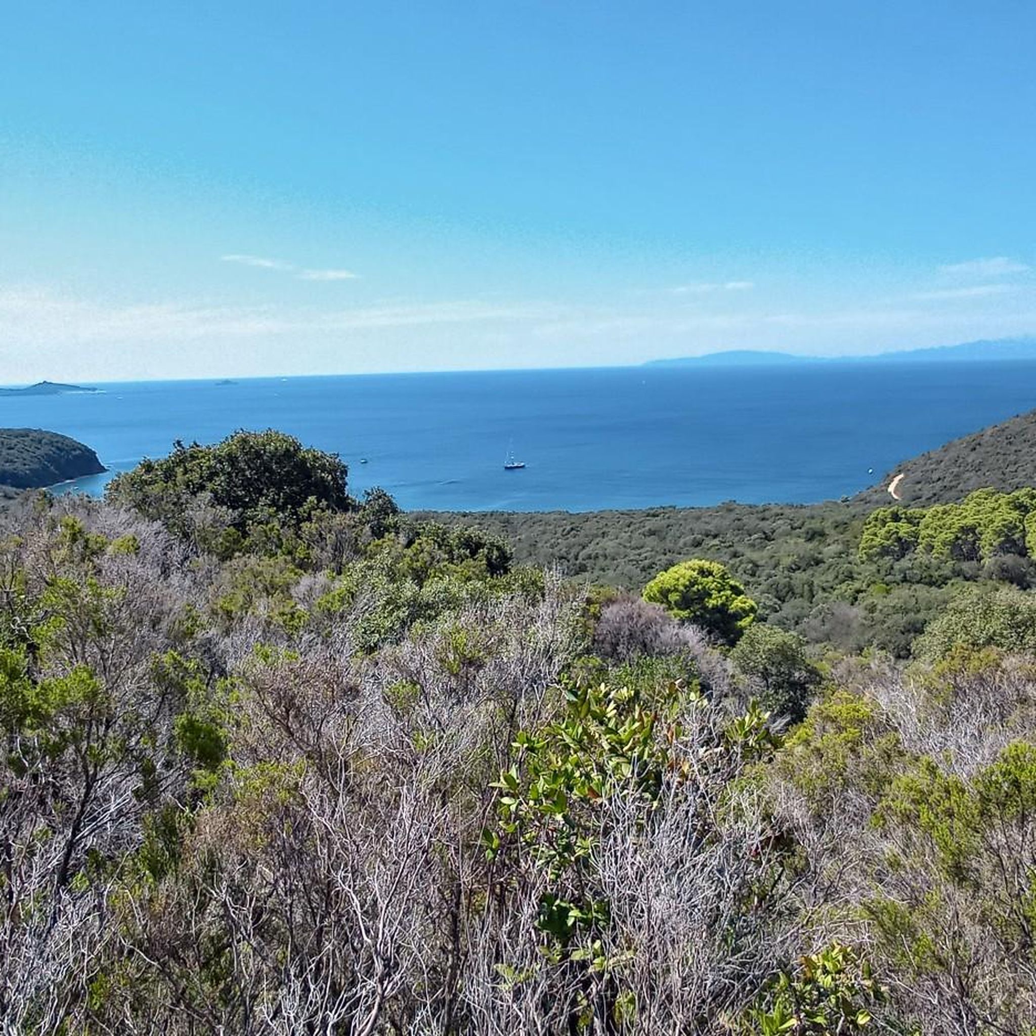
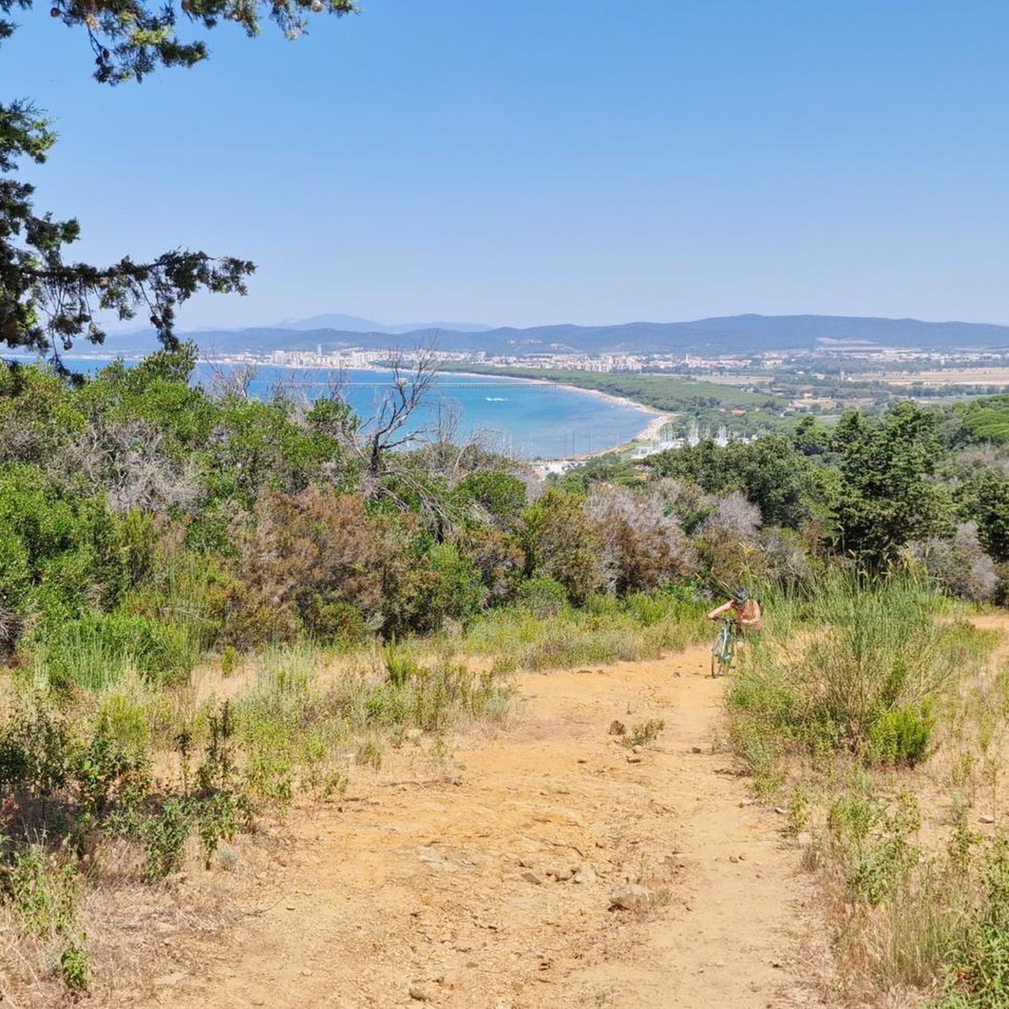
Road cycling routes around Scarlino traverse the diverse landscapes of the Tuscan Maremma, characterized by hilly terrain and dense woodlands. The region extends to the Tyrrhenian coast, offering routes with significant elevation gains and scenic views. Cyclists can explore areas within the Bandite di Scarlino Nature Reserve and along the Gulf of Follonica. The varied topography provides options for different fitness levels, from moderate climbs to more challenging ascents.
Best road cycling routes around Scarlino
- The most popular road cycling…
Last updated: October 25, 2026
5.0
(4)
231
riders
58.9km
02:42
680m
680m
Moderate road ride. Good fitness required. Some segments of this route may be unpaved and difficult to ride.
4.6
(24)
531
riders
73.9km
03:30
950m
950m
Hard road ride. Very good fitness required. Mostly well-paved surfaces and easy to ride.

4.3
(13)
417
riders
71.7km
03:29
1,010m
1,010m
Hard road ride. Very good fitness required. Mostly well-paved surfaces and easy to ride.
4.3
(6)
270
riders
83.8km
04:02
1,160m
1,160m
Hard road ride. Very good fitness required. Mostly well-paved surfaces and easy to ride.
5.0
(5)
186
riders
136km
06:16
1,660m
1,660m
Hard road ride. Very good fitness required. Mostly well-paved surfaces and easy to ride.
Get access to more routes and recommendations from other explorers.
Already have an account?
Our route recommendations are based on thousands of hikes, rides, and runs completed by other people on komoot.
Start today with a free account
Your next adventure awaits.



Tips from the Community

The Port of Castiglione della Pescaia (also known as a canal port) is the maritime and tourist heart of the Tuscan village of the same name, situated on the Tyrrhenian Sea at the mouth of the Bruna River. More than a classic and sterile modern marina, it is a lively and picturesque port where local fishing boats, pleasure craft, and tourist excursions coexist, maintaining the Maremma's historic connection with the sea.
0
0

Beautiful lake. As clear as I've rarely seen it. Perfect for a swimming stop on the bike tour
1
0
The scenic hilly road of Monteverdi Marittimo is a fascinating route through the Colline Metallifere and the Val di Cecina, ideal for those who love to drive or cycle through woods, coastal views, and historic villages.
0
0
Massa Marittima is an Italian municipality of 8,160 inhabitants in the province of Grosseto in Tuscany. Main center of the Grosseto Metalliferous Hills area, it is a member of the Union of mountain municipalities Colline Metallifere. As a Maremma tourist resort, it has obtained important recognitions for environmental quality.
0
0
The ancient village of Vetulonia stands at about 335 meters above sea level on the hills of Castiglione della Pescaia, offering an extraordinary panoramic viewpoint that dominates the entire Tuscan Maremma plain, all the way to the sea. Formerly known as Vatluna, it was one of the most important centers of the Etruscan Dodecapolis, rediscovered at the end of the 19th century by the doctor and archaeologist Isidoro Falchi. Today it presents itself as a charming and silent hilltop village, a perfect blend of breathtaking landscapes and ancient history.
0
0
Il Barrino di Tatti is a renowned panoramic restaurant-pizzeria located about 410 meters above sea level, just outside the historic medieval village of Tatti (a hamlet of the municipality of Massa Marittima, in the province of Grosseto). Founded around 1970 as a village club, it is managed in synergy with the nearby Fattoria di Tatti - Sequerciani and is famous for its terrace with a breathtaking view that stretches across the entire Maremma region to the sea and the Island of Elba.
0
0
Monteverdi Marittimo is a charming Italian municipality of about 775 inhabitants located in the province of Pisa, in Tuscany. This ancient medieval village stands in the hinterland of Maremma Pisana, perched on the southern slope of the Colline Metallifere and straddling the Val di Cecina and Val di Cornia. Certified with the prestigious Orange Flag of the Italian Touring Club, the town represents a unique meeting point between the dense Mediterranean scrub, the proximity to the sea (from which it is about 15-20 km away) and the geothermal energy of the subsoil.
1
0
The climb to Tirli is one of the most iconic cycling routes in the Maremma region of Tuscany, located in the municipality of Castiglione della Pescaia. This ascent can be tackled mainly from two opposite sides, offering spectacular views of the Gulf of Follonica and the Grosseto plain. The two main sides From Pian d'Alma (North-West side): It is considered the "real" and most challenging climb. It is about 5-6 km long up to the village, with maximum gradients reaching 13-15% on some internal stretches within the cork oak and chestnut woods. From Ampio / Castiglione della Pescaia (South side): More rideable, constant, and shaded. It is about 6.3 km long with an average gradient of 5.1% and maximum peaks not exceeding 8%.
1
0
Frequently Asked Questions
How many road cycling routes are available around Scarlino?
There are over 25 road cycling routes around Scarlino, offering a diverse range of experiences for cyclists. These routes are rated by the komoot community with an average score of 4.3 stars.
What are the typical difficulty levels for road cycling in Scarlino?
Scarlino offers a good mix of difficulty levels. You'll find approximately 6 easy routes, 13 moderate routes, and 10 challenging routes, ensuring options for various fitness levels and preferences.
Are there any circular road cycling routes in the Scarlino area?
Yes, many of the road cycling routes around Scarlino are circular, allowing you to start and end in the same location. Examples include the popular Around Follonica — Ring tour and the challenging View of Prata – Lago dell'Accesa loop from Scarlino.
What kind of landscapes can I expect to see while road cycling in Scarlino?
Scarlino's road cycling routes traverse diverse landscapes. You'll encounter hilly terrain densely wooded with chestnut and holm oak trees, panoramic clearings, and stunning coastal views along the Gulf of Follonica. Some routes also pass by natural features like Lago dell'Accesa.
Are there any challenging climbs for experienced road cyclists?
Absolutely. Scarlino is situated on the northern ridge of Monte d'Alma, providing routes with significant elevation gains. For instance, the Il Barrino di Tatti – View of the Tuscan Coast loop from Scarlino covers over 113 km with more than 1,500 meters of climbing, offering a substantial challenge.
What attractions or points of interest can I visit along the road cycling routes?
Many routes offer opportunities to see local attractions. You can enjoy views from the medieval Rocca Pisana (Scarlino Castle), pass by the serene Lago dell'Accesa, or explore the coastline. For specific viewpoints, consider routes that pass near highlights like View from the Poggio Petriccio Observation Tower or Le Bozze Panoramic Viewpoint.
Are there family-friendly road cycling routes in Scarlino?
While many routes feature significant elevation, there are easier options available. Look for routes categorized as 'easy' in the guide, which typically have less climbing and shorter distances, making them more suitable for families or beginners. The region also offers well-paved roads in certain areas.
What is the best time of year for road cycling in Scarlino?
The Tuscan Maremma generally offers pleasant cycling conditions during spring and autumn, when temperatures are milder. Summer can be quite hot, especially in July and August, so early morning or late afternoon rides are recommended during those months.
Are there places to park my car when starting a road cycling route in Scarlino?
Yes, Scarlino and its surrounding villages typically offer public parking areas where you can leave your car. It's advisable to check specific starting points for routes for the most convenient parking options.
Can I find cafes or refreshment stops along the road cycling routes?
Many routes pass through or near charming villages and towns where you can find cafes, bars, and restaurants to refuel. The region is known for its hospitality, and you'll often discover local spots for a coffee or a meal.
Are there any road cycling routes that avoid heavy traffic?
Scarlino's road cycling routes often utilize quieter country roads that wind through the hills and forests, helping to avoid heavy traffic. Routes within the Bandite di Scarlino Nature Reserve, for example, offer a more tranquil cycling experience.
Is public transport available for cyclists in Scarlino?
Public transport options in the Scarlino area are generally limited, especially for carrying bicycles. It's often more convenient to drive to a starting point or arrange private transport. However, some local bus services might accommodate bikes, so it's best to check with local operators for specific routes and policies.
Most popular attractions around Scarlino

Get inspired with the komoot mobile app


Explore more
Browse the best Road cycling routes in other regions.
