The best walks and hikes around Nocera Superiore
4.5
(1993)
9,058
hikers
276
hikes
Hiking around Nocera Superiore offers diverse landscapes, situated at the mouth of the Sannio Valley and bordering the Monti Lattari. The region features varied terrain, from fertile agricultural lands to rugged mountainous areas, including the slopes of St. Angelo Mount. Natural monuments, mountain peaks, and waterfalls contribute to the scenic backdrop for outdoor activities. This geographical position provides a range of hiking opportunities for different fitness levels.
Best hiking trails around Nocera Superiore
- The most popular hiking route is Croce…
Last updated: July 8, 2026
5.0
(2)
10
hikers
9.82km
04:00
550m
560m
Moderate hike. Good fitness required. Mostly accessible paths. Sure-footedness required.
4.9
(7)
11
hikers
19.0km
07:12
1,010m
1,010m
Hard hike. Very good fitness required. Mostly accessible paths. Sure-footedness required.

Sign up for free
7
hikers
Hard hike. Very good fitness required. Mostly accessible paths. Sure-footedness required.
5.0
(2)
13
hikers
9.87km
03:12
360m
360m
Moderate hike. Good fitness required. Mostly accessible paths. Sure-footedness required.
3.8
(9)
9
hikers
6.27km
01:58
220m
230m
Easy hike. Great for any fitness level. Easily-accessible paths. Suitable for all skill levels.
Get access to more routes and recommendations from other explorers.
Sign up for free
Already have an account?
Our route recommendations are based on thousands of hikes, rides, and runs completed by other people on komoot.
Start today with a free account
Your next adventure awaits.
Login or Signup

Tips from the Community

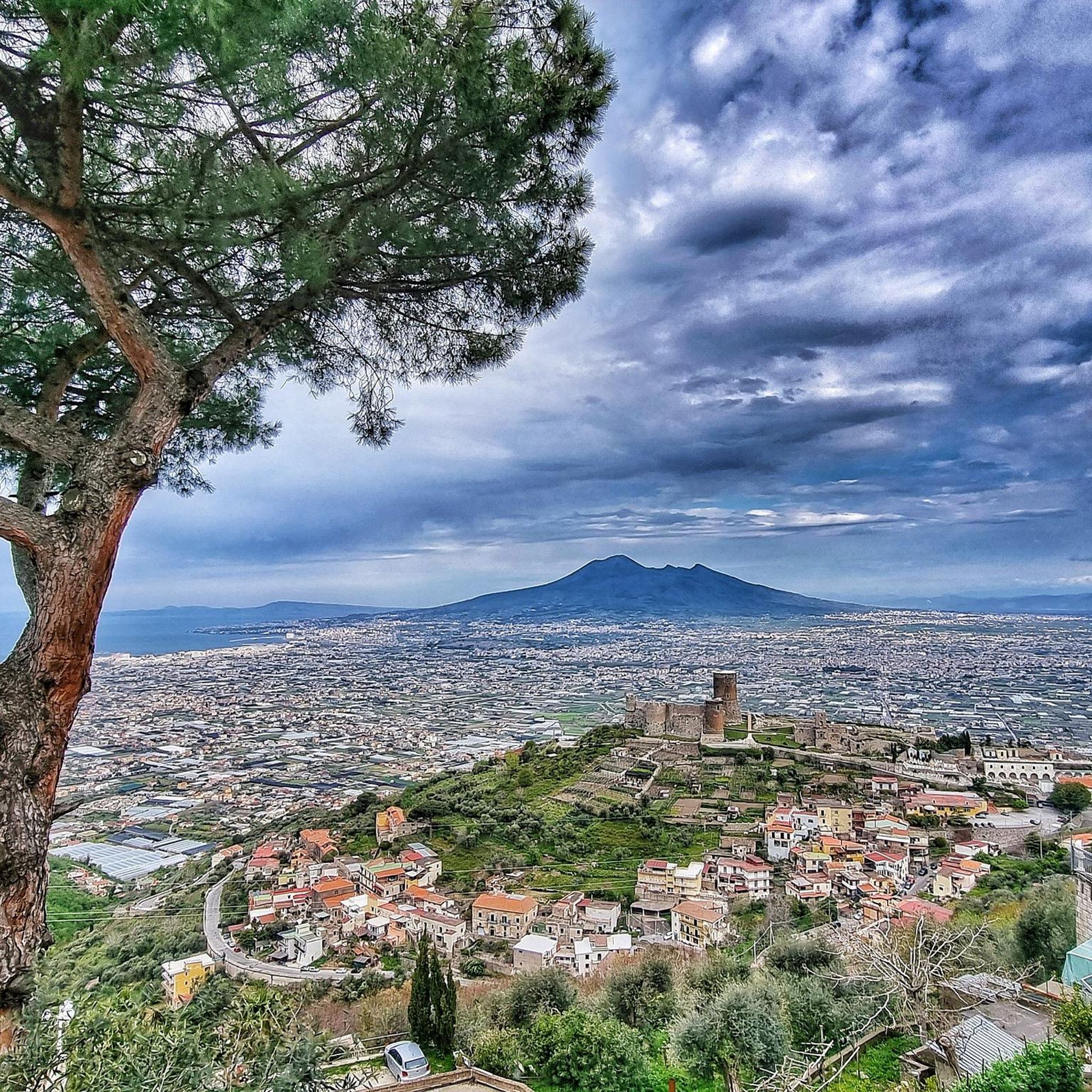
As of today, February 17, 2026, the barracks remain in the same state: the roof collapsed and abandoned. It is likely the only one in Italy in this state.
0
0

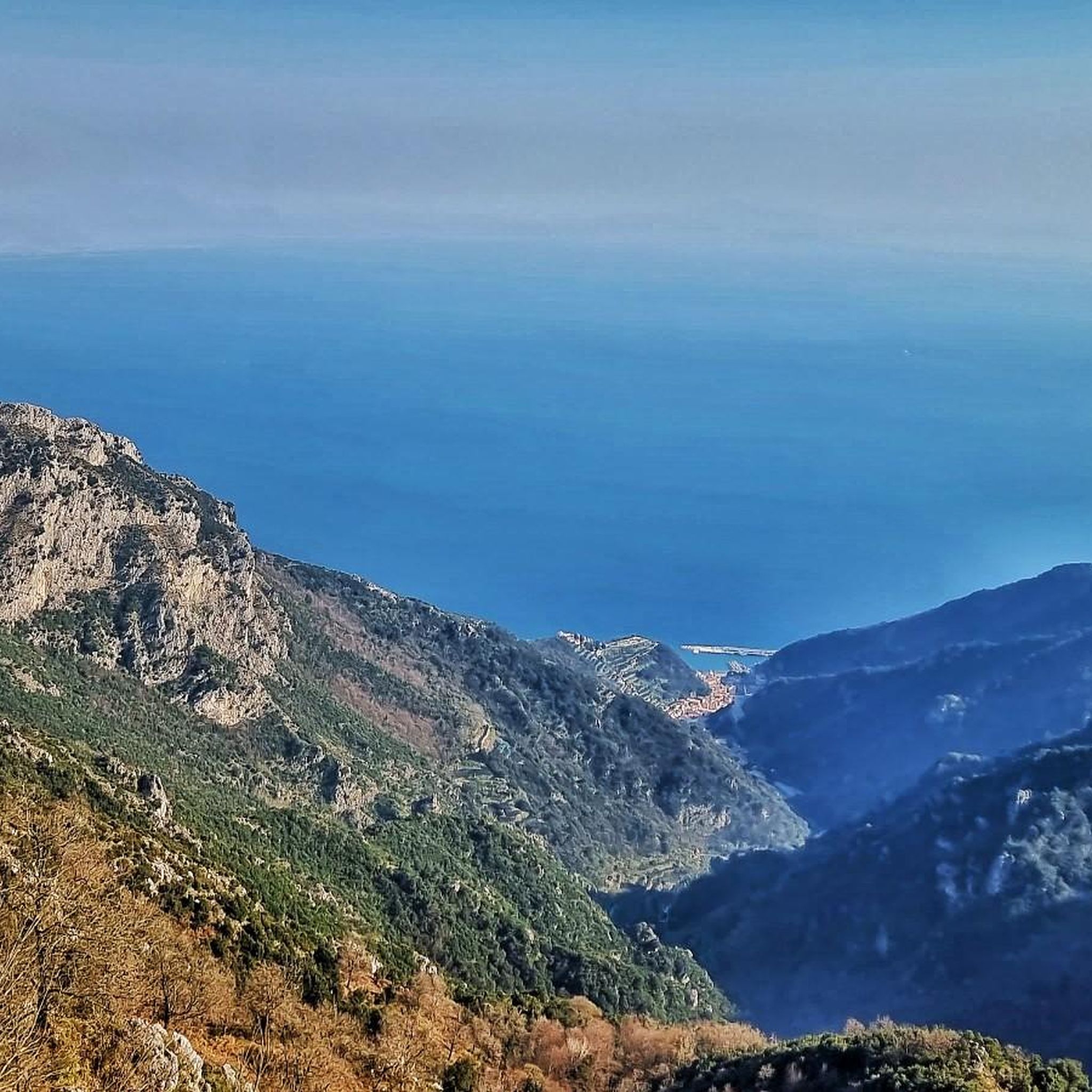
A beautiful panoramic point ideal for a short break
1
0

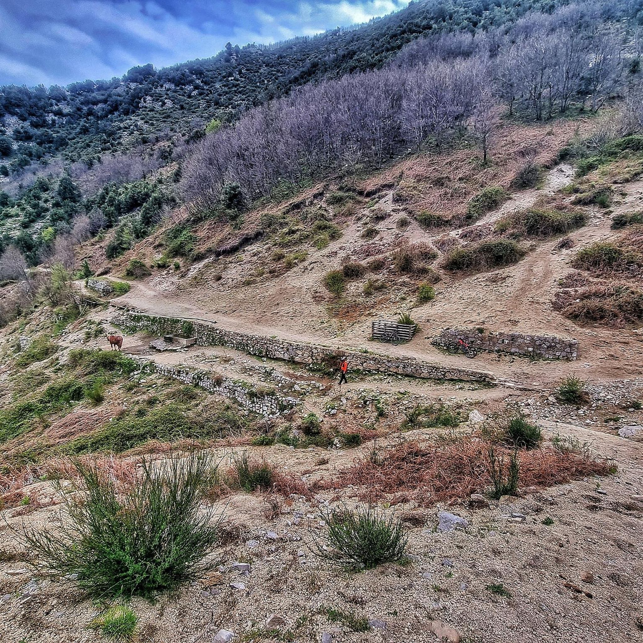
pay attention to the path
0
0
not very visible crossroads with path interrupted in some places
0
0
Unfortunately the old barracks is abandoned with a collapsed roof on 29 June 2024, since which time the foresters have no longer been there.
1
0

shame about the disgusting pollution of cars thrown down in the mountains that pollute. there are uncivilized people who get excited because there are cars as there were in the arena in Nocera Superiore and they don't understand that it's bad for you and that they pollute everything and when I wanted to have everyone remove them against them. but the most serious thing is who is this unclean being who had his name put on the maps who authorized this disgusting thing. it's a shame
0
0

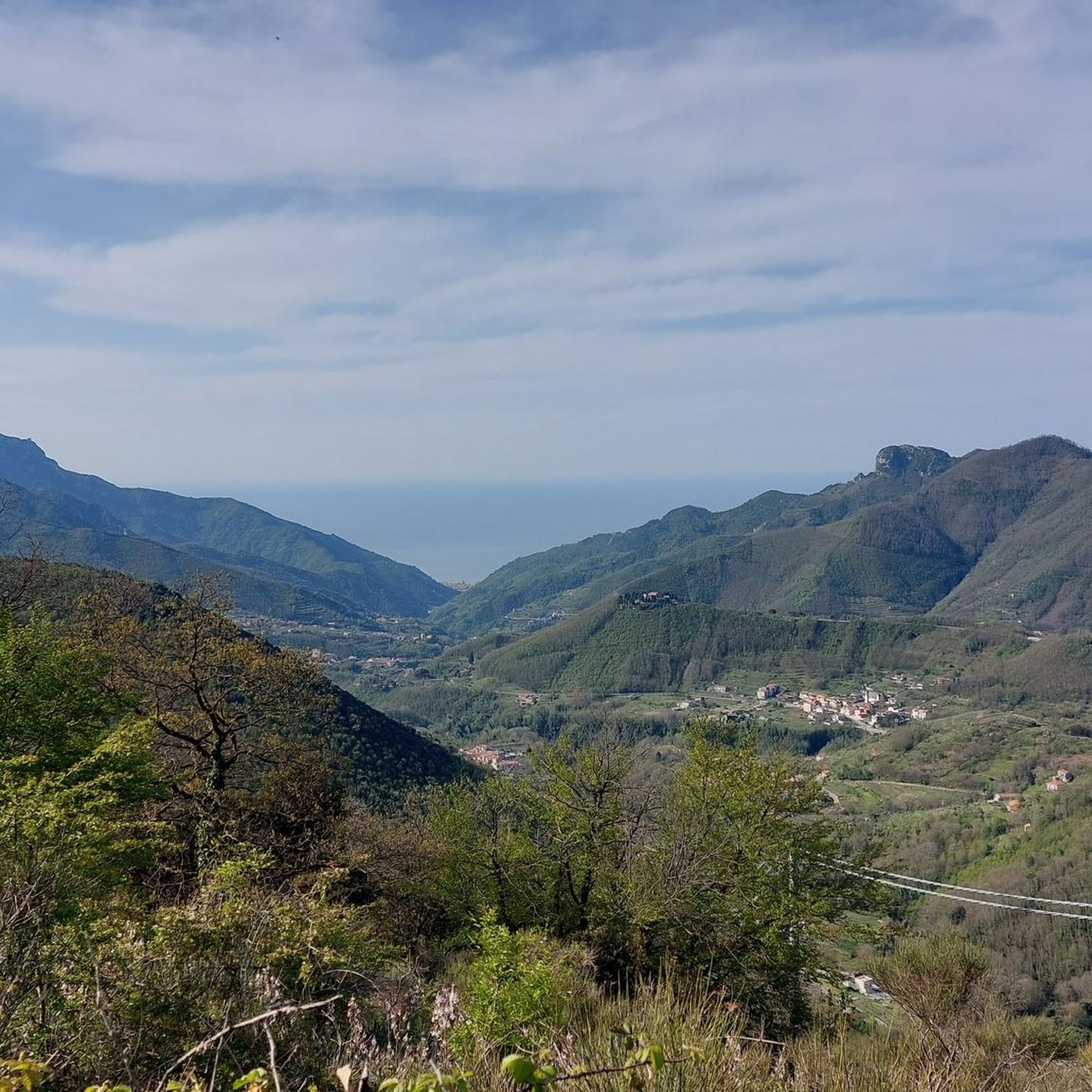
Pass located between Sant'Egidio del monte albino and Tramonti, towns to visit and experience for their territory and their culture. Personally, I reached the pass once from Ravello and once from Corbara on the occasion of the 2023 Giro d'Italia.
1
0

Attention: to go towards the "Forcella della Cava" it is advisable to follow the Sentiero Italia S14S passing first through the "Piesco Grande". NOT the path on the left of the photo which will lead to a rather difficult and dangerous off-road. ( See Dedicated Highlight )
3
0
Frequently Asked Questions
What kind of terrain can I expect on hiking trails around Nocera Superiore?
The region offers a diverse landscape, from fertile agricultural lands to rugged mountainous areas, including the slopes of St. Angelo Mount and the Monti Lattari. You'll encounter natural monuments, mountain peaks, and even caves and canyons, providing a varied backdrop for your hikes.
Are there hiking trails suitable for beginners or those looking for an easy walk?
Yes, Nocera Superiore offers a good selection of easier trails. Out of over 250 routes in the area, 55 are classified as easy. These routes typically have less elevation gain and shorter distances, making them ideal for a relaxed outdoor experience.
Can I find trails with waterfalls in the Nocera Superiore area?
Absolutely. The region is known for its scenic waterfalls. You can explore routes like the Cava de' Tirreni Waterfall loop from Nocera Inferiore, which features these beautiful natural attractions. The Valle delle Ferriere Nature Reserve is also a significant natural attraction in the vicinity with waterfalls.
Are there any circular hiking routes available?
Many of the trails around Nocera Superiore are designed as loops, allowing you to start and end at the same point. Examples include the moderate Croce del Monte Caruso – Castagneto di Diecimare loop from Santa Lucia, and the shorter Panoramic Ridge – Trailhead with Old Machinery loop from Santuario di Santa Maria dei Miracoli.
What historical sites or landmarks can I see while hiking in the region?
Nocera Superiore has a rich historical heritage. You can explore Roman ruins from the ancient city of Nuceria Alfaterna, including an amphitheater and necropolises. Notable historical sites include the Castello Fienga and the Chiesa Santa Maria delle Grazie. For specific highlights, consider visiting the Valle dei Mulini and Ruins of the Watermills or the Santa Maria a Castello Castle.
What is the best time of year to go hiking in Nocera Superiore?
Nocera Superiore experiences a Mediterranean climate with hot, dry summers and mild, wet winters. This makes much of the year suitable for hiking. Spring and autumn generally offer the most pleasant temperatures for exploring the trails.
Are there any challenging hikes for experienced trekkers?
Yes, for experienced hikers, there are several challenging routes. The region offers 63 difficult trails, including the Southern Cross – Panda Trail loop from Nocera Inferiore Mercato, which is 19.0 km long with significant climbing, and the Trail with Spring and Landslide – Health Trail loop from Nocera Inferiore Mercato, a 15.1 km route through mountainous terrain.
What do other hikers say about the trails in Nocera Superiore?
The hiking routes in Nocera Superiore are highly regarded by the komoot community, holding an average rating of 4.5 stars from over 1,700 reviews. Hikers often praise the diverse landscapes, from fertile valleys to rugged mountains, and the well-maintained paths that cater to various ability levels.
Are there good viewpoints along the trails in Nocera Superiore?
Given its location on the northern ridge of the Monti Lattari and bordering St. Angelo Mount, many trails offer expansive views. The Chiesa Santa Maria delle Grazie provides panoramic city views, and you can find stunning vistas like the View of Salerno and the Gulf from the Castello di Arechi in the wider area.
Can I find caves or gorges to explore near Nocera Superiore?
Yes, the region features several interesting geological formations. You can explore caves such as the Cave of the Madonna della Pace of Pietrapiana or the Grotta di San Salvatore. There are also notable cliffs and caves along the Madonna dell'Avvocata Trail.
Is Nocera Superiore well-connected for hikers using public transport?
Nocera Superiore's central location in Campania provides reasonable access. Many trails, such as those starting from Nocera Inferiore Mercato, are accessible via local public transport, making it convenient for hikers without a car. It's advisable to check local bus and train schedules for specific trailheads.
Are there options for parking near the trailheads?
While specific parking details vary by trailhead, many popular starting points for hikes around Nocera Superiore, especially those near towns or significant attractions, offer designated parking areas. It's recommended to check the route details on komoot for information on parking availability for your chosen trail.
Most popular routes around Nocera Superiore
Most popular attractions around Nocera Superiore

Get inspired with the komoot mobile app


Explore more
Browse the best Hikes in other regions.
