The 20 Most Amazing Peaks around Scarperia E San Piero
Best mountain peaks around Scarperia E San Piero offer a diverse landscape of rolling hills and elevated terrain in the Mugello region of Tuscany. This area is known for its scenic beauty, providing numerous opportunities for hiking and exploration. Visitors can discover significant elevated points, including prominent summits and historic mountain passes. The region combines natural appeal with cultural and historical sites, making it a compelling destination for outdoor enthusiasts.
Best mountain peaks around Scarperia E San Piero
- The most popular mountain peaks is Mount Cantagrilli, a summit that is a panoramic meadow peak of the Calvana Mountains. It is known for wild horses and cows, and beautiful blooms in spring.
- Another must-see spot is Croce della Retaia, a summit offering an extensive panorama. From its top, views sweep over the Florentine plain and the city of Prato.
- Visitors also love Monte Maggiore Summit (917 m), a summit and the highest peak of the Calvana mountain range. The climb offers views and opportunities to encounter cows and horses.
- Scarperia E San Piero is known for its summits, viewpoints, and mountain passes. The area offers a variety of mountain peaks to see and explore, ranging from challenging ascents to scenic elevated points.
- The mountain peaks around Scarperia E San Piero are appreciated by the komoot community, with more than 140 upvotes and over 120 photos shared by visitors.
Last updated: August 31, 2026
Croce della Retaia
Highlight • Summit
Translated by Google •
Tip by

Mount Cantagrilli
Highlight • Summit
Translated by Google •
Tip by
Sign up now to discover places like this
Get recommendations on the best single tracks, peaks, & plenty of other exciting outdoor places.
Sign up for free
Burnt Inn Pass
Highlight • Mountain Pass
Translated by Google •
Tip by

Monte Maggiore Summit (917 m)
Highlight • Summit
Translated by Google •
Tip by

Banditacce – Highest Point of the Via degli Dei (1,204 m)
Highlight • Summit
Tip by

Sign up for free to discover even more peaks around Scarperia E San Piero.
Sign up for free
Already have an account?
Start today with a free account
Your next adventure awaits.
Login or Signup
Popular around Scarperia E San Piero
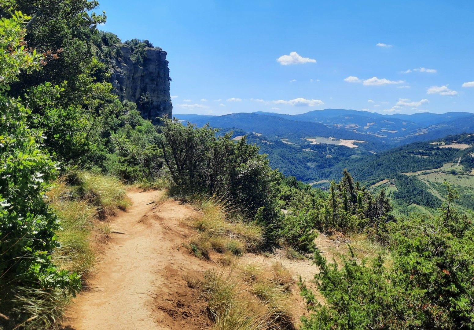
Bologna to Florence through the Apennines — the Via degli Dei
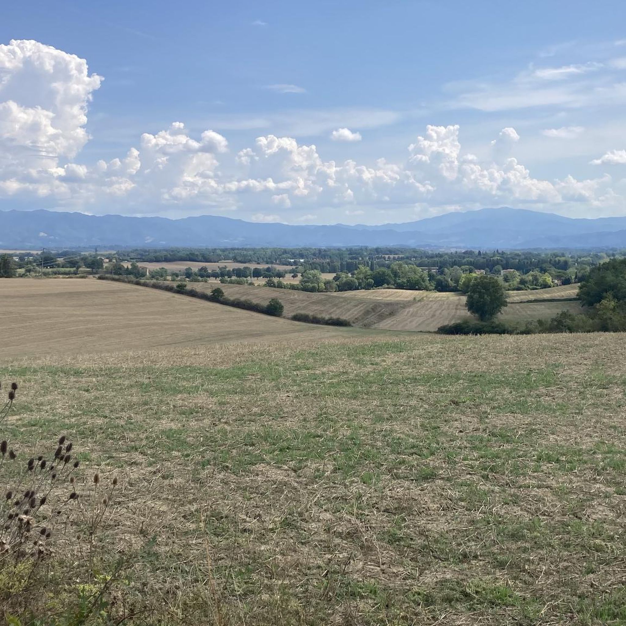
Road Cycling Routes around Scarperia E San Piero
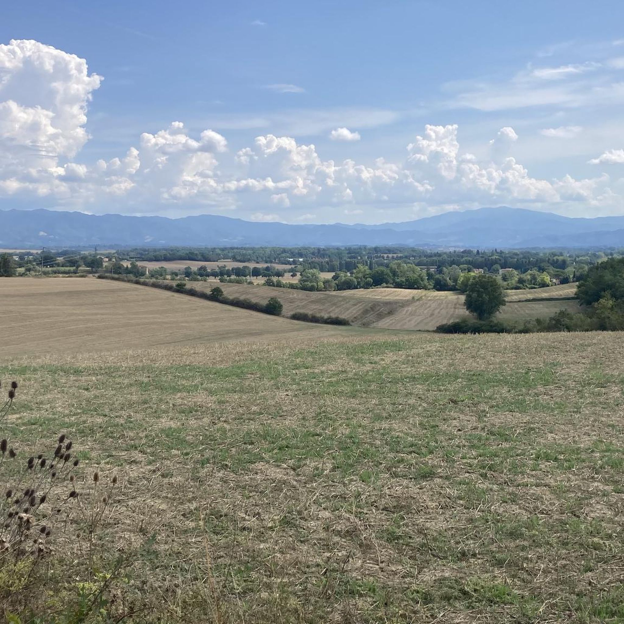
Hiking around Scarperia E San Piero
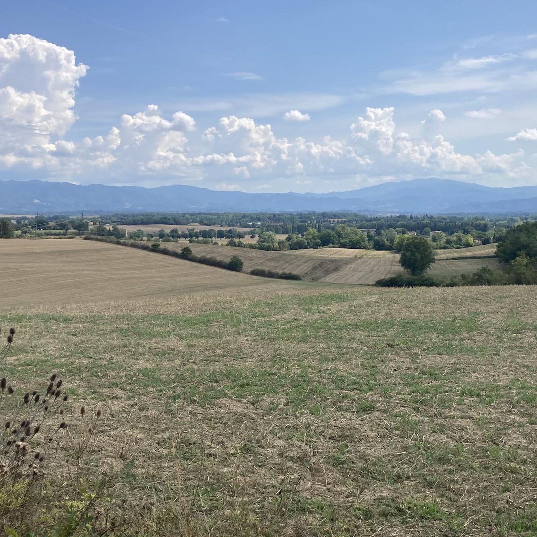
Cycling around Scarperia E San Piero
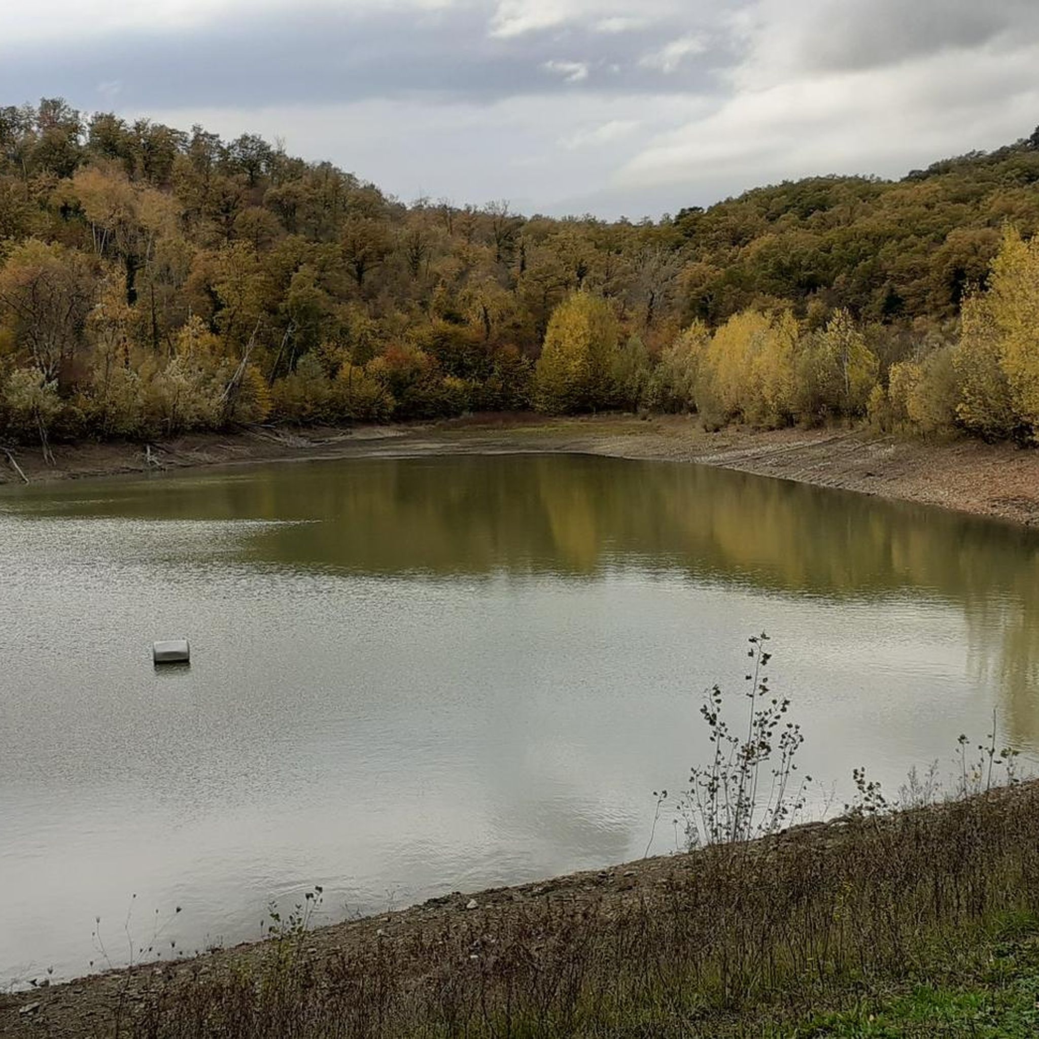
MTB Trails around Scarperia E San Piero
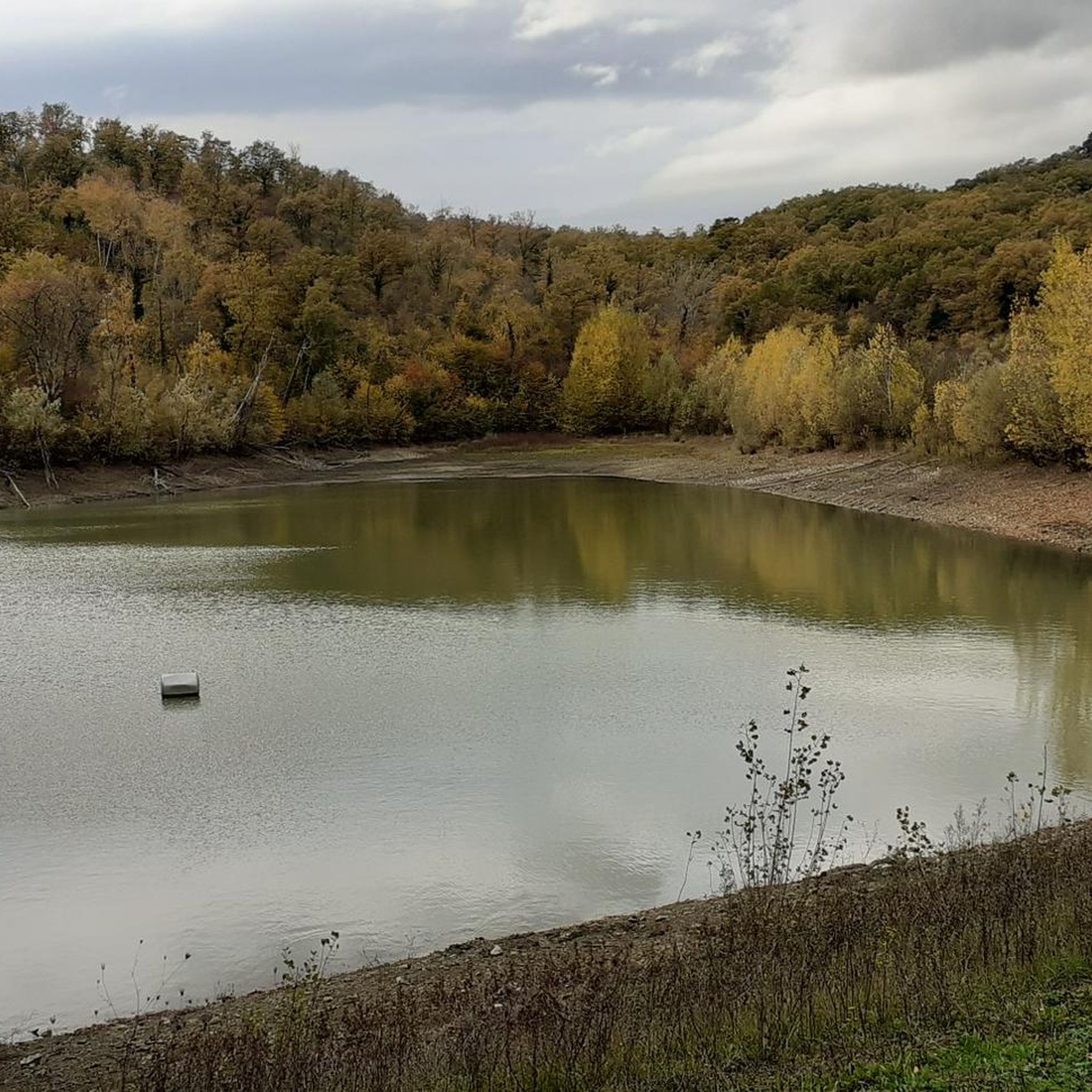
Running Trails around Scarperia E San Piero

Gravel biking around Scarperia E San Piero
Other adventures around Scarperia E San Piero

Tips from the Community

Admittedly a bit unspectacular, in the middle of the forest lies the highest peak on the Via degli Dei. At least you can ring a little bell.
0
0

It is the pinnacle of Prato's hikes, starting from the slopes to get some fresh air, or for those with more time, as a stopping point for beautiful hikes in Calvana.
0
0

In the Middle Ages it was the highway that connected northern Italy with the south (in particular trade with Milan and the Church with Rome)
1
0

Because it's located in the forest, the summit appears unexpected. Suddenly, you're there.
0
0


Fascinating forest, but don't go down from Gazzarro by bike
1
0


Antico Passo dell' Osteria Bruciata, coming from Bologna on the Via degli Dei you have made the greatest difference in altitude
1
0
Frequently Asked Questions
What are some notable mountain peaks and elevated areas to explore around Scarperia e San Piero?
The region offers a diverse landscape with several prominent elevated points. You can visit Mount Cantagrilli, a panoramic meadow peak known for wild horses and cows. Another excellent choice is Croce della Retaia, which provides extensive views over the Florentine plain. For a challenging ascent, consider Monte Maggiore Summit (917 m), the highest peak of the Calvana range. Additionally, the historic Burnt Inn Pass offers scenic views and a fascinating legend, while the Banditacce – Highest Point of the Via degli Dei (1,204 m) provides a mountain haven with panoramic allure.
Are there family-friendly hiking options near Scarperia e San Piero?
While many trails in the region offer moderate to challenging ascents, some routes are suitable for families. For instance, the 'View of the Lake – Bosco ai Frati Convent loop' near Area naturale protetta di interesse locale Gabbianello-Boscotondo is an easy 6.6 km hike. When planning, look for routes described as 'easy' or 'intermediate' and consider the elevation gain and distance to match your family's capabilities. You can find more hiking options on the Hiking around Scarperia E San Piero guide.
What kind of views can I expect from the mountain peaks in this region?
The mountain peaks around Scarperia e San Piero offer spectacular panoramic views. From Croce della Retaia, you can see the Florentine plain and the city of Prato, and on very clear days, even the port of Livorno and the island of Capraia. Mount Cantagrilli provides views of the Marina valley, Monte Morello, and the southern Calvana massif. The Banditacce, as the highest point of the Via degli Dei, also offers breathtaking displays of the transforming landscape.
What is the best time of year to hike the mountain peaks around Scarperia e San Piero?
The Mugello region, including Scarperia e San Piero, is beautiful year-round. Spring is particularly rewarding for hikers on Mount Cantagrilli due to its beautiful blooms. Generally, spring and autumn offer pleasant temperatures for hiking. Summer can be warm, so early morning or late afternoon hikes are recommended. Winter hikes are possible, but some trails might be more challenging due to weather conditions.
Are there any historical sites or cultural points of interest on or near these peaks?
Yes, the region blends natural beauty with historical significance. The Burnt Inn Pass is an ancient medieval pass with a local legend. While not a peak, the nearby Passo del Giogo is a significant elevated point with historical importance, particularly associated with the Gothic Line Battlefield Site. Additionally, Monte Senario, home to a historic Servite monastery founded in 1234, offers a blend of spiritual significance and scenic vistas.
What kind of wildlife or natural features can I encounter on these mountain trails?
The mountain trails offer opportunities to observe local wildlife and unique natural features. On Mount Cantagrilli and near Monte Maggiore Summit, it's common to encounter wild horses and cows grazing. The Calvana mountain range, where these peaks are located, features shrubby vegetation, grassland areas, and wooded sections, providing a diverse environment for various flora and fauna.
What are the difficulty levels of hiking trails to these peaks?
Hiking trails to the peaks around Scarperia e San Piero range from intermediate to challenging. For example, the trail to Monte Faggio all'Ombrellino is considered challenging, with a significant elevation gain. Peaks like Mount Cantagrilli and Croce della Retaia are generally intermediate, offering rewarding experiences without extreme difficulty. Always check specific route details for elevation, distance, and estimated time before you go.
Are there options for cycling or mountain biking near the mountain peaks?
Absolutely. The region is popular for cycling and mountain biking. You can find various routes, including challenging road cycling tours like the 'San Piero a Sieve – Passo della Colla loop' or mountain biking trails such as the 'Giogo Pass – Poggio dei Prati Piani loop'. These routes often pass near or offer views of the elevated terrain. Explore more options on the Cycling around Scarperia E San Piero guide and the MTB Trails around Scarperia E San Piero guide.
Can I find circular hiking routes to explore the mountain peaks?
Yes, many trails in the Mugello region are designed as loops, allowing you to experience diverse landscapes without retracing your steps. For instance, there's a 5.67 km loop associated with the Gothic Line Battlefield Site starting from Passo del Giogo. When planning your hike, look for routes described as 'loop' or 'circular' to enjoy a varied journey through the mountain scenery.
What amenities are available near the hiking trails and peaks?
Scarperia e San Piero and surrounding towns offer various amenities. While specific cafes or pubs might not be directly on every peak, you'll find options in nearby villages. The Burnt Inn Pass, for example, is described as a place suitable for a stop, with sun and shade, near a spring. It's advisable to carry sufficient water and snacks, especially on longer or more remote trails, and plan stops in towns for meals or refreshments.
Is public transport available to reach hiking trailheads?
Public transport options exist to reach Scarperia e San Piero and some surrounding areas. However, direct public transport to specific remote trailheads on mountain peaks might be limited. It's often recommended to use a combination of public transport to reach a main town and then consider local taxis, ride-sharing, or personal vehicles to access more secluded starting points for hikes. Always check local bus schedules and routes in advance.
Are dogs allowed on the mountain trails in the Mugello region?
Many outdoor areas and trails in the Mugello region are dog-friendly, allowing you to enjoy hikes with your canine companion. However, it's always best to keep dogs on a leash, especially in areas where livestock (like the wild horses and cows on Mount Cantagrilli) or other wildlife might be present. Always carry waste bags and ensure your dog is well-behaved and can handle the trail's difficulty.
What makes the mountain peaks around Scarperia e San Piero unique?
The mountain peaks in this region are unique for their combination of natural beauty, historical significance, and diverse landscapes. They offer panoramic views that stretch across the Apennine range, the Florentine plain, and even to the sea on clear days. The presence of wild horses and cows on peaks like Mount Cantagrilli adds to their distinct charm, providing a truly immersive natural experience in the heart of Tuscany's Mugello region.
Most popular routes around Scarperia E San Piero
Most popular attractions around Scarperia E San Piero

Get inspired with the komoot mobile app


Explore more
See even more amazing summits around Scarperia E San Piero with these guides:
