The best running trails around Scarperia E San Piero
3.6
(11)
685
runners
77
runs
Jogging around Scarperia E San Piero is an excellent way to experience the diverse landscapes of Tuscany's Mugello region. The area features rolling hills, extensive woodlands, and the Sieve River valley, offering varied terrain for runners. To the north, the Tuscan-Romagnolo Apennines provide more challenging trails with significant elevation gains, while flatter paths can be found along the Sieve River and around Lake Bilancino. This combination of natural features makes it suitable for various running experiences.
Best jogging routes around…
Last updated: May 18, 2026
53
runners
63.2km
07:36
1,900m
1,900m
Hard run. Very good fitness required. Mostly accessible paths. Some sure footedness required.
41
runners
16.0km
01:42
190m
190m
Hard run. Very good fitness required. Mostly paved surfaces. Suitable for all skill levels.

Sign up for free
29
runners
11.3km
01:12
150m
150m
Moderate run. Good fitness required. Mostly paved surfaces. Suitable for all skill levels.
20
runners
12.5km
01:19
140m
140m
Moderate run. Good fitness required. Mostly paved surfaces. Suitable for all skill levels.
20
runners
Hard run. Very good fitness required. Mostly paved surfaces. Suitable for all skill levels.
Get access to more routes and recommendations from other explorers.
Sign up for free
Already have an account?
Our route recommendations are based on thousands of hikes, rides, and runs completed by other people on komoot.
Start today with a free account
Your next adventure awaits.
Login or Signup
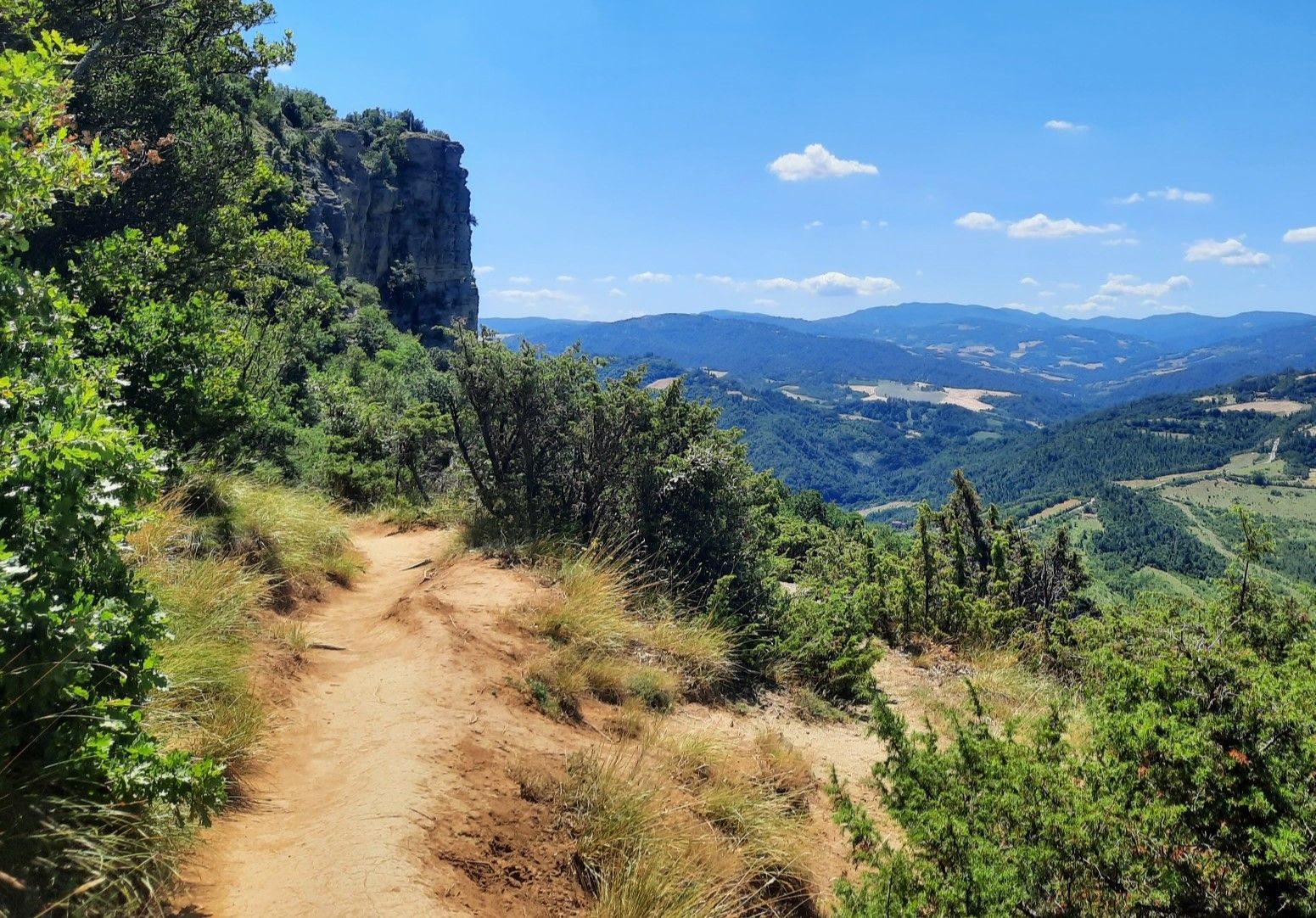
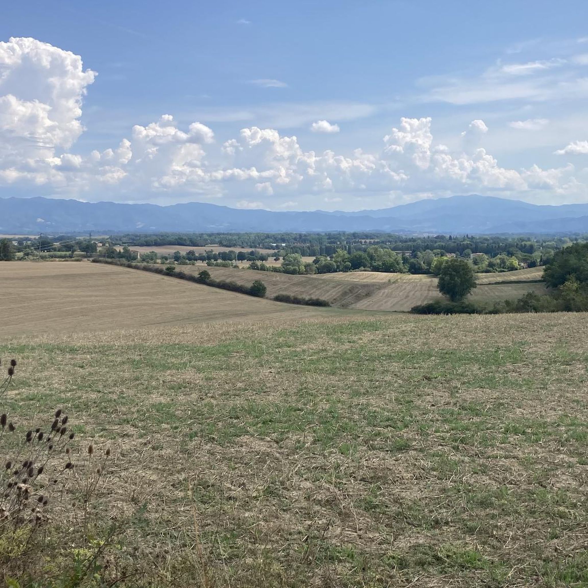
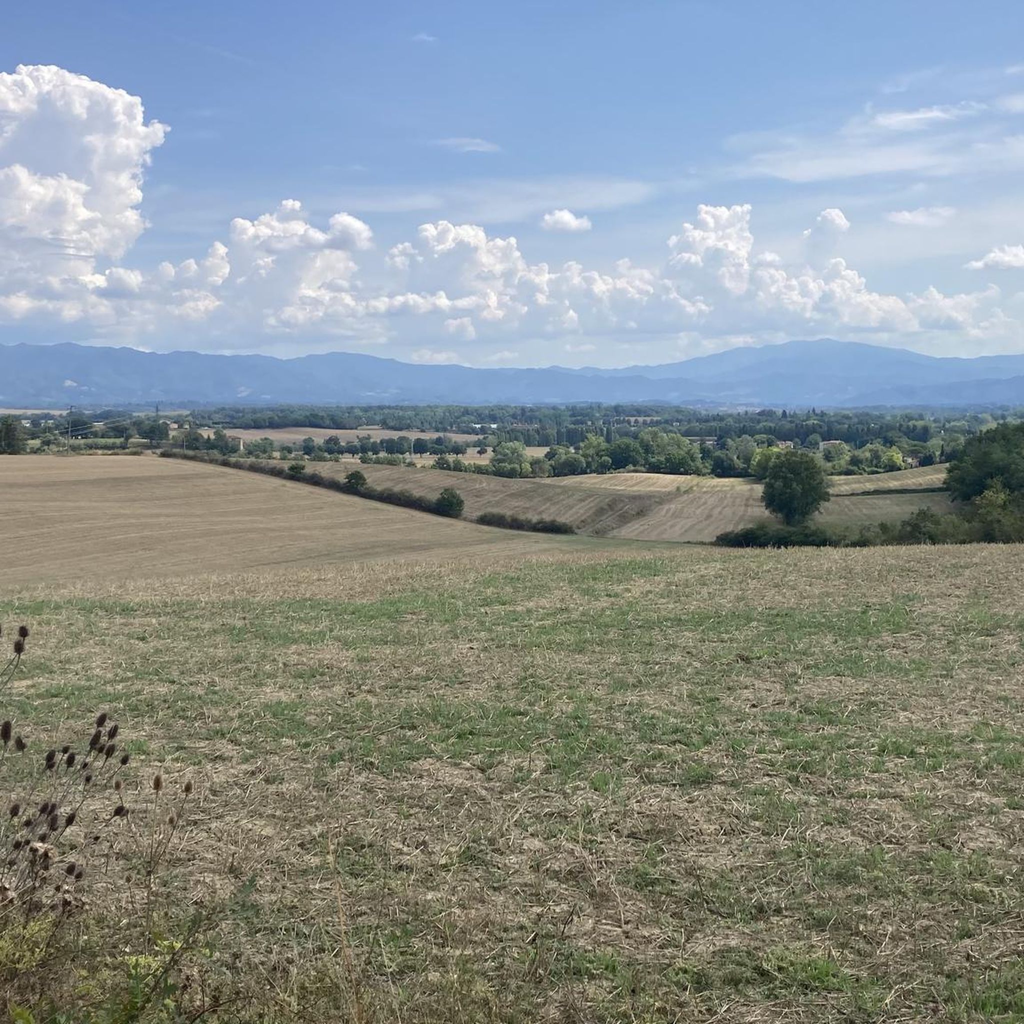
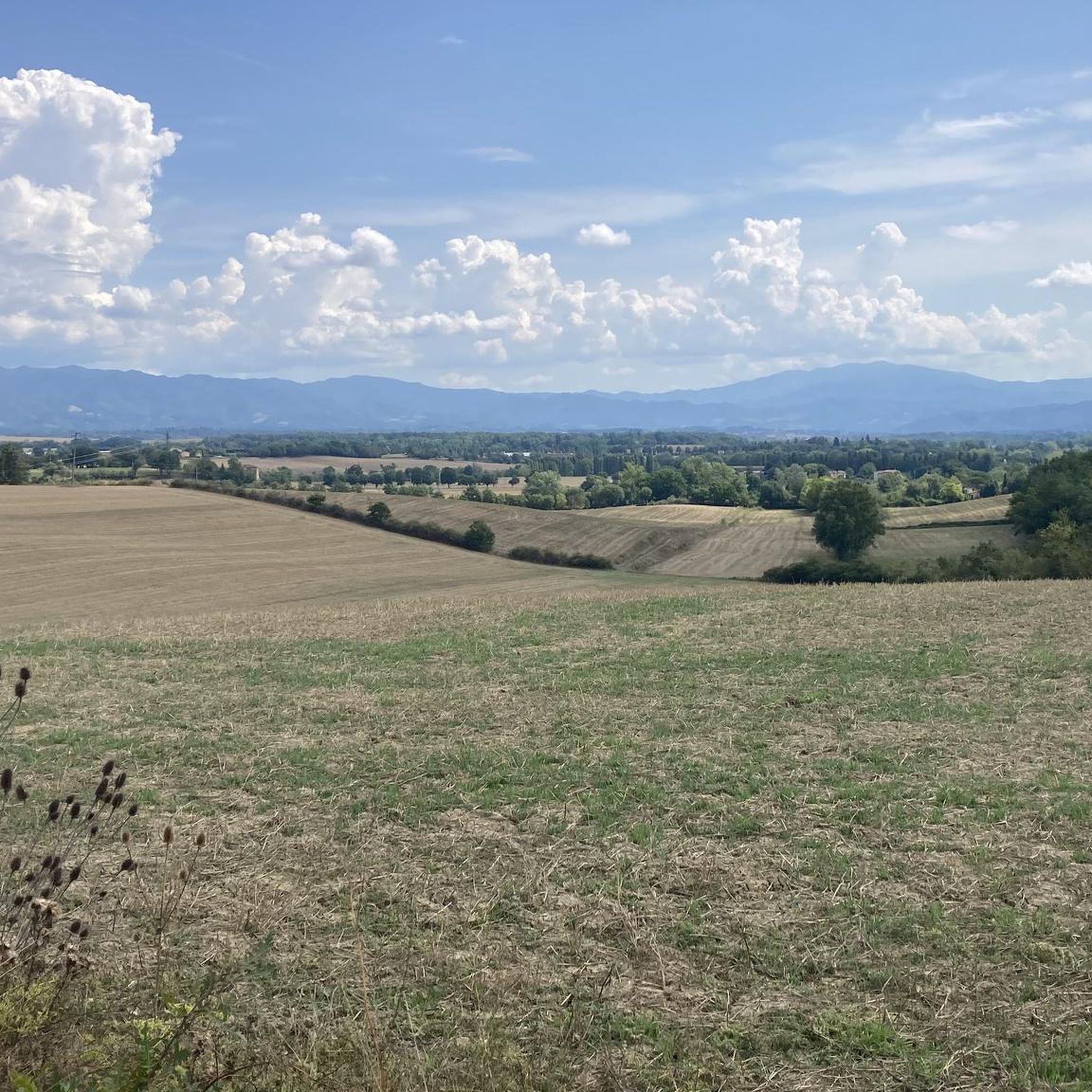

Other adventures around Scarperia E San Piero

Tips from the Community

San Piero a Sieve is very suitable as the end of the 4th stage of the Via degli Dei. Then you start the next stage with this fantastic view
0
0

worth visiting if you have time.
0
0

Beautiful pass to climb
0
0

Section of the Via degli Dei that connects Monte Fanna on the Via di San Clemente to Poggio Pratone. The dirt road is well-beaten and easy in some places, while in others it is a slippery and very steep stony path. After the antennas the path changes from a mule track to a very narrow single track that winds through the woods.
0
0


Very close to the convenient parking for a barbecue
0
0

From the Giogo pass to the Colla pass along the Gothic line
2
0

Take bus number 7 from Stazione Nationale and get off at Fiesole Piazza Mino
1
0
Frequently Asked Questions
How many jogging routes are available in Scarperia e San Piero?
Scarperia e San Piero offers a wide selection of running routes, with over 60 trails available for you to explore. These routes cater to various fitness levels, from easy paths to more challenging mountain trails.
What kind of terrain can I expect on running trails in Scarperia e San Piero?
The region, often called "Tuscany's green heart," features diverse terrain. You'll find verdant, rolling hills, extensive woodlands, and paths along the Sieve River valley. To the north, the Tuscan-Romagnolo Apennines offer more challenging trails with significant elevation gains, while flatter options are available near the river and Lake Bilancino.
Are there running routes suitable for beginners in Scarperia e San Piero?
Yes, there are routes suitable for beginners. While many trails are moderate to difficult, you can find easier paths, particularly along the Sieve River. For example, the "Sentiero escursionistico Sieve" offers a relatively flat, almost 20 km path perfect for a leisurely run.
Where can I find more challenging trail running experiences in the Mugello region?
For more challenging trail running, head towards the Tuscan-Romagnolo Apennines in the northern part of the region. Routes like the Poggio Pratone Summit loop from San Piero a Sieve, a demanding 55 km trail, offer significant elevation gains and expansive views. The historic "Via degli Dei" also traverses Mugello, providing a rigorous challenge for ultra-trail runners.
What do other runners say about the trails in Scarperia e San Piero?
The running routes in Scarperia e San Piero are highly rated by the komoot community, with an average score of 3.4 stars from over 10 reviews. More than 490 runners have used komoot to explore the varied terrain, often praising the beautiful Tuscan scenery and the diverse options available for different ability levels.
Are there any circular running routes in Scarperia e San Piero?
Yes, many routes in the area are designed as loops, allowing you to start and finish in the same location. Examples include the Water fountain – Monte Calvi loop from San Piero a Sieve and the Monte Calvi loop from Mugello Circuit, which offer varied distances and difficulties.
What natural features or landmarks can I see while running in Scarperia e San Piero?
You can encounter a variety of natural features and historical landmarks. The region boasts rolling hills, cypress trees, and extensive woodlands. The artificial Lake Bilancino offers picturesque views, often with sunflower fields. You might also pass by cultural sites like the 14th-century Palazzo dei Vicari in Scarperia, or even the UNESCO World Heritage site of the Medici villa of Il Trebbio. For specific natural highlights, consider exploring Fonte dei Seppi or various mountain peaks like Croce della Retaia.
Are there family-friendly jogging paths in the area?
For families, the flatter paths along the Sieve River or around Lake Bilancino are generally more suitable. These areas provide gentler terrain and beautiful scenery without significant elevation changes, making them enjoyable for all ages. Always check the route details for distance and elevation to ensure it matches your family's capabilities.
Can I bring my dog on the running trails in Scarperia e San Piero?
While specific regulations can vary by trail, many natural areas in Tuscany are generally dog-friendly, especially if your dog is well-behaved and kept on a leash. The extensive woodlands and open paths are ideal for running with your canine companion. Always ensure you clean up after your dog and respect local signage.
What is the best time of year for jogging in Scarperia e San Piero?
The region is beautiful year-round, but spring and autumn offer the most pleasant temperatures for jogging, with comfortable weather and stunning natural colors. In warmer months, you can enjoy routes near Lake Bilancino with sunflower fields, while chestnut forests provide shade and beauty throughout the year. Summers can be hot, so early morning or late evening runs are recommended.
How long are the running paths typically in Scarperia e San Piero?
The running paths in Scarperia e San Piero vary significantly in length. You can find shorter routes, such as the Running loop from San Piero a Sieve at around 8.4 km, up to very long and challenging trails like the Poggio Pratone Summit loop from San Piero a Sieve, which is over 55 km. The average length of routes in the area is around 10-15 km, offering options for various training goals.
Is public transport available to access running trails in Scarperia e San Piero?
Scarperia e San Piero is accessible by public transport, particularly buses connecting to Florence and other towns in the Mugello region. San Piero a Sieve also has a train station. While direct access to every trailhead might require a short walk or taxi, routes originating from or passing through towns like San Piero a Sieve are generally well-connected. For instance, the Sieve River path is easily accessible from San Piero a Sieve.
Where can I park my car when accessing running routes?
Parking is generally available in the towns and villages like Scarperia and San Piero a Sieve. For routes starting in more rural areas, look for designated parking spots near trailheads or small village centers. It's advisable to check specific route descriptions on komoot for parking recommendations, especially for less frequented trails.
Most popular routes around Scarperia E San Piero
Most popular attractions around Scarperia E San Piero

Get inspired with the komoot mobile app


Explore more
Browse the best Running Trails & Routes in other regions.
