The best mountain hikes around Paularo
4.9
(91)
706
hikers
37
hikes
Mountaineering routes around Paularo are set within the Carnic Alps, characterized by a diverse landscape of prominent peaks, deep valleys, and extensive forests. The region features rugged limestone walls, broad alpine pastures, and ancient geological formations. Peaks like Monte Sernio and Creta di Aip offer varied terrain, while the Val d'Incarojo and Chiarsò valley provide a mix of natural environments for exploration. This area is known for its well-preserved natural landscapes, making it a prime destination for outdoor activities.
Best…
Last updated: September 24, 2026
4.3
(7)
41
hikers
Hard mountaineering route. Good fitness required. Sure-footedness, sturdy shoes and alpine experience required.
5.0
(3)
11
hikers
Hard mountaineering route. Good fitness required. Sure-footedness, sturdy shoes and alpine experience required.

5.0
(1)
9
hikers
Moderate mountaineering route. Good fitness required. Mostly accessible paths. Sure-footedness required.
5.0
(3)
8
hikers
12.1km
05:40
780m
780m
Hard mountaineering route. Very good fitness required. Sure-footedness, sturdy shoes and alpine experience required.
7
hikers
8.72km
04:30
720m
720m
Hard mountaineering route. Good fitness required. Sure-footedness, sturdy shoes and alpine experience required.
Get access to more routes and recommendations from other explorers.
Already have an account?
Our route recommendations are based on thousands of hikes, rides, and runs completed by other people on komoot.
Start today with a free account
Your next adventure awaits.
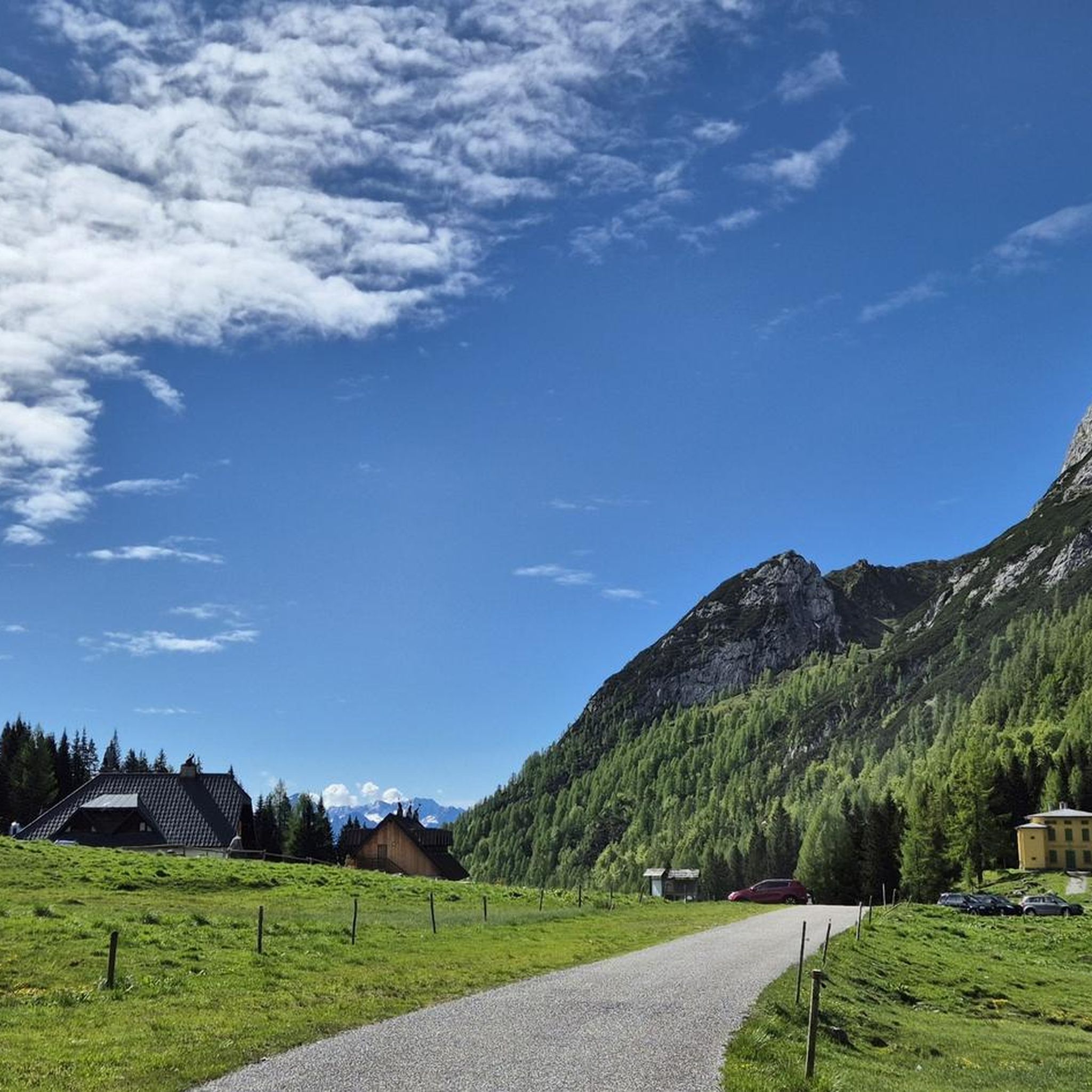
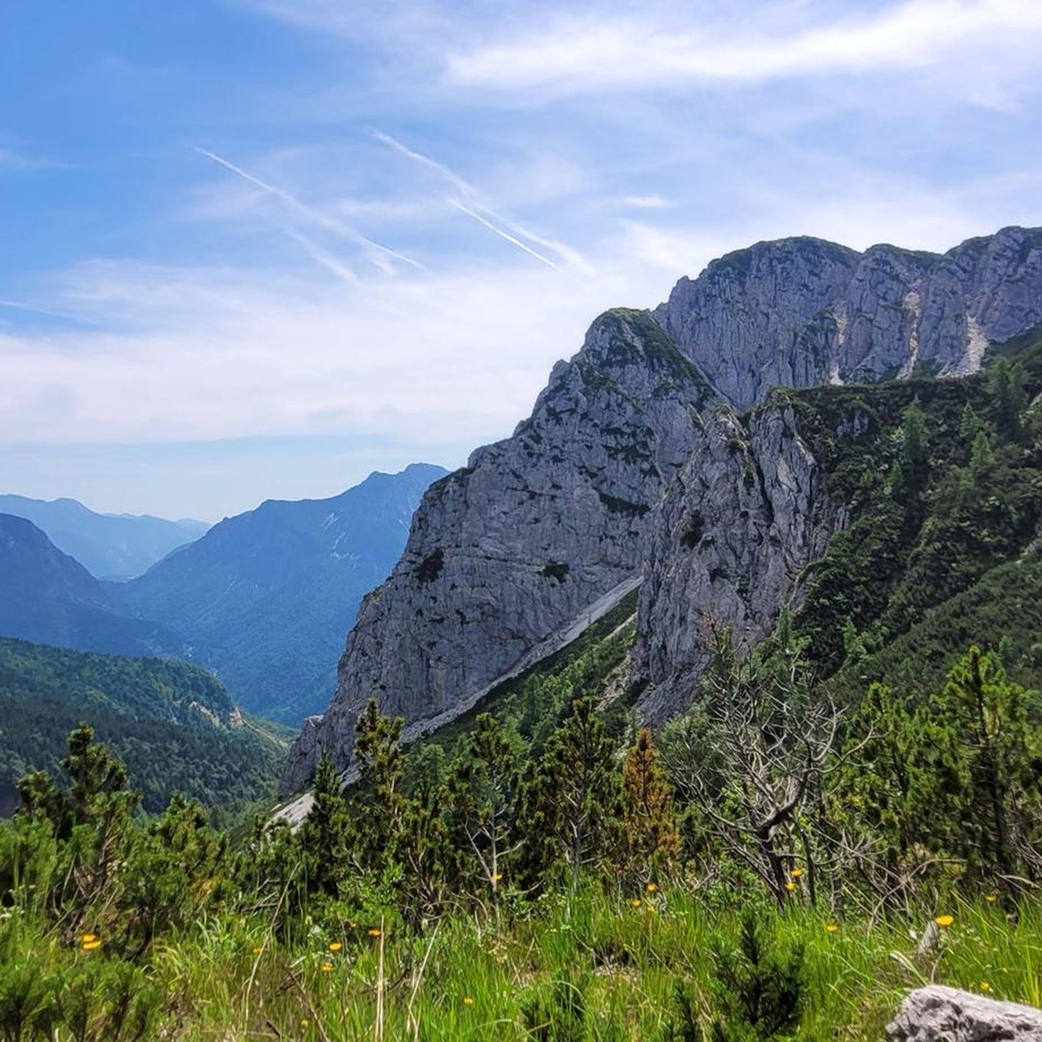
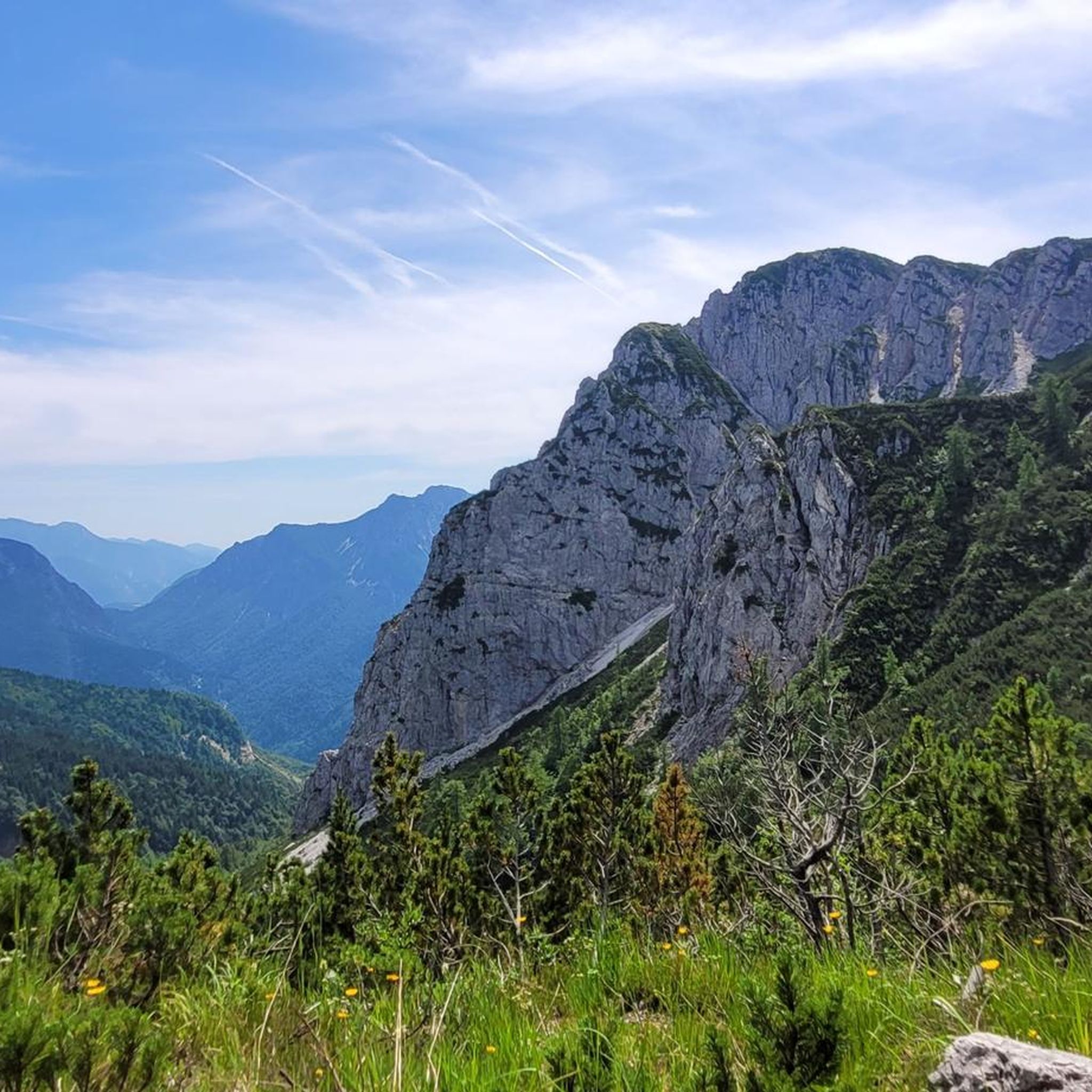
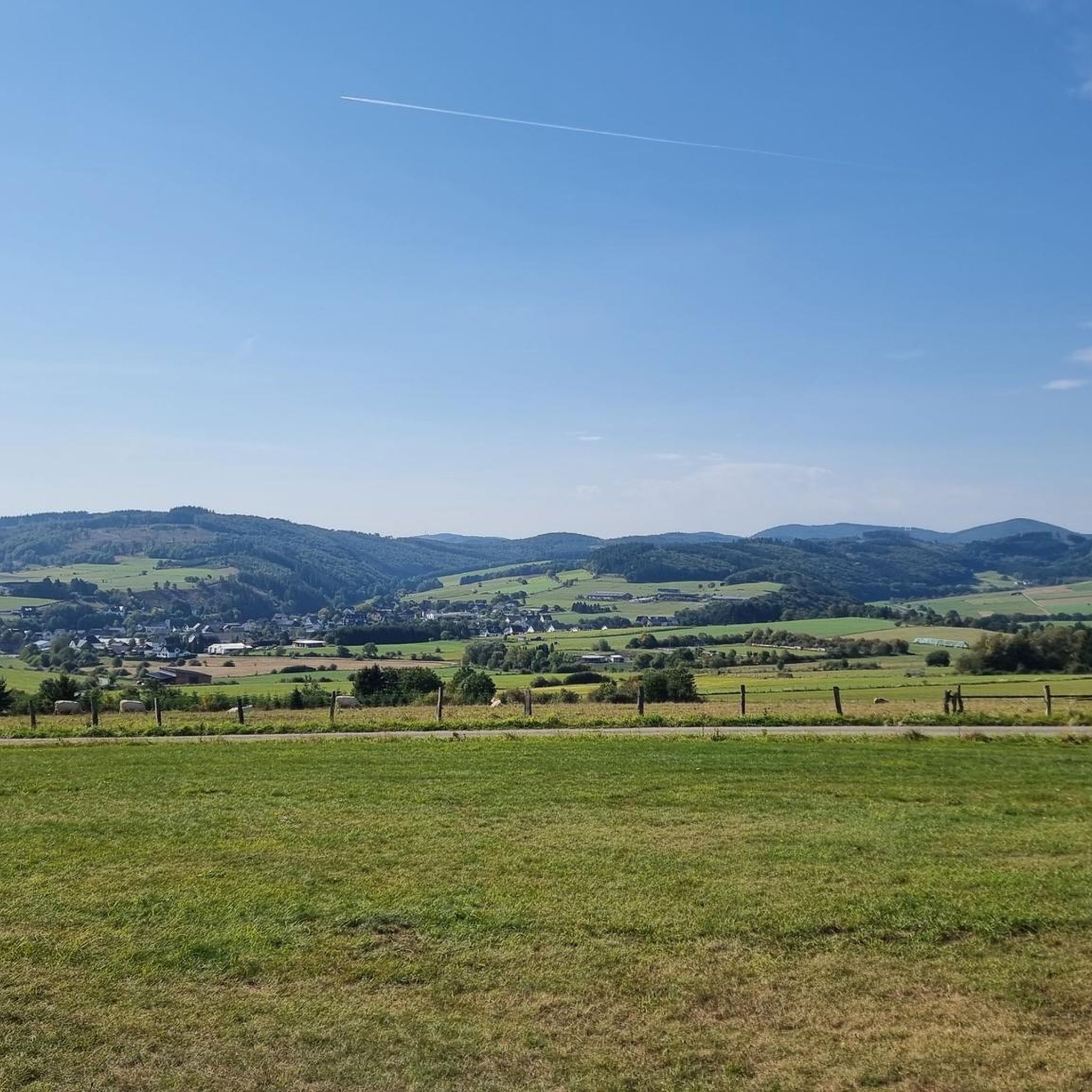


Tips from the Community

Sportingly and historically, a pass that was traversed during the Giro d'Italia 2013. At the pass, there is an elevation with a mountain hut and ample parking spaces. Around the pass, there are many hiking trails. Cyclists can ride the pass from both sides, with the side coming from Paularo offering more views of the mountain world.
0
0
A platform from which a 360-degree panoramic view is possible, extending far into the mountain and mountain range worlds.
0
0

If you choose the hike to Winkel Alm from this summit, expect double the indicated 40 minutes. Beautiful hike, mostly downhill and difficult due to loose rock boulders. The end is the Winkel Alm restaurant, where we couldn't eat or drink anything because there was a private party. Recommendation: check this before you go. Luckily, we reached 2 restaurants on the road within half an hour. Via the Marlitzen chairlift, we were then able to close the loop.
0
0

The only cable car still open, in the others you can't get any air 😕
0
0

Another type of bivouac box near Nassfeld
0
0

Beautiful, but quite crowded because of the cable car.
0
0

Beautiful alpine pasture on the mountain
1
0
Beautiful mountain for hiking
1
0
Frequently Asked Questions
What types of mountaineering routes can I find around Paularo?
Paularo, recognized as a "Mountaineering Village," offers a diverse range of routes within the Carnic Alps. You'll find everything from challenging ascents on rugged limestone walls to scenic loops through broad alpine pastures and extensive forests. The routes vary significantly in difficulty, catering to both experienced mountaineers and those seeking moderate paths.
Are there any easy or moderate mountaineering routes suitable for beginners in Paularo?
While many routes are difficult, there are moderate options available. For example, the Casera Promosio – Lago Avostanis loop from Casera Promosio / Promôs is a moderate 6.1-mile path that winds through alpine pastures and past Lago Avostanis, offering scenic views without extreme technical challenges. The ascent of Monte Paularo from Casera Pramosio is also considered easy to moderate.
What are some notable natural features or viewpoints to look out for on the routes?
The region is rich in natural beauty. You can expect breathtaking panoramic views from peaks like Monte Sernio (2,187m) and Monte Paularo. Other significant features include the picturesque Lago Avostanis, the impressive Las Calas Gorge, and ancient forests with unique tree species like "La Palme," an 180-year-old multi-stemmed fir tree in the Zermula forest. Traditional alpine huts, or Malghe, are also scattered across the high-altitude grazing lands.
Are there any circular mountaineering routes in the Paularo area?
Yes, several routes offer circular experiences. The Via Ferrata Zermula loop from Passo del Cason di Lanza / Lanzenpass / Pas di Lance is a challenging 3.4-mile loop. Another option is the Uiberlachersteig loop from Passo del Cason di Lanza / Lanzenpass / Pas di Lance, a longer 7.4-mile route. For experienced hikers, the Alta Via d'Incarojo is a multi-stage circular route leading to various peaks.
What is the best time of year for mountaineering in Paularo?
The Carnic Alps around Paularo offer outdoor activities suitable for all seasons. However, for high-altitude hiking and mountaineering, the warmer months are generally preferred. Summer allows access to alpine pastures and higher peaks. Some routes may require alpine experience and sturdy shoes, especially during shoulder seasons when conditions can be variable. Winter offers opportunities for snowshoeing and ski touring, but requires specific gear and safety considerations.
Are there any mountain huts or places to rest along the trails?
Yes, the region has several mountain huts strategically located along many trails. These provide essential rest stops, meals, and sometimes overnight accommodation. Notable examples include Rattendorfer Alm and Rifugio Fabiani. You can find more options in the Huts and Cabins around Paularo guide.
What do other mountaineers say about the routes in Paularo?
The mountaineering routes around Paularo are highly rated by the komoot community, with an average score of 4.9 stars from over 100 reviews. Mountaineers often praise the varied terrain, from challenging ascents to scenic loops through pastures, and the well-preserved natural landscapes that make it a prime destination for outdoor activities.
Are there any family-friendly hiking options near Paularo?
While many mountaineering routes are challenging, the broader Paularo region offers a range of outdoor activities. For families, options like the forest track to Rifugio Fabiani through wildflower meadows provide a gentler experience. Some sections of the Grand Italian Trail or the Monte Flop Loop might also be suitable, depending on the family's experience level.
Can I bring my dog on the mountaineering trails in Paularo?
Generally, dogs are welcome on many hiking trails in the Carnic Alps, but it's always advisable to keep them on a leash, especially in alpine pasture areas where livestock may be present, and to respect local regulations. Some protected areas or specific routes might have restrictions, so checking local signage is recommended.
How many mountaineering routes are available in the Paularo area?
There are over 45 mountaineering routes documented around Paularo, offering a wide variety of experiences. These include 11 moderate and 34 difficult routes, ensuring options for different skill levels and preferences.
Are there any historical routes or points of interest?
Yes, the region has historical significance. The Historic WWI Alpine Trail to Sella di Aip (CAI 439) offers a journey through history, winding through trenches and outposts while providing panoramic views that span three countries. This trail combines natural beauty with a glimpse into the past.
Most popular routes around Paularo
Most popular attractions around Paularo

Get inspired with the komoot mobile app


Explore more
Browse the best Mountain Hikes & Routes in other regions.
