The best walks and hikes around Sappada - Plodn
4.4
(1067)
6,088
hikers
115
hikes
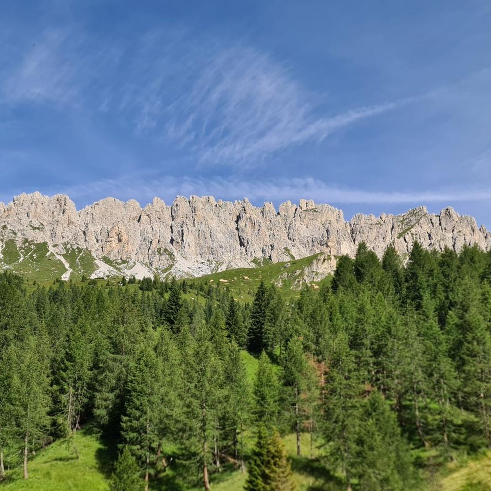
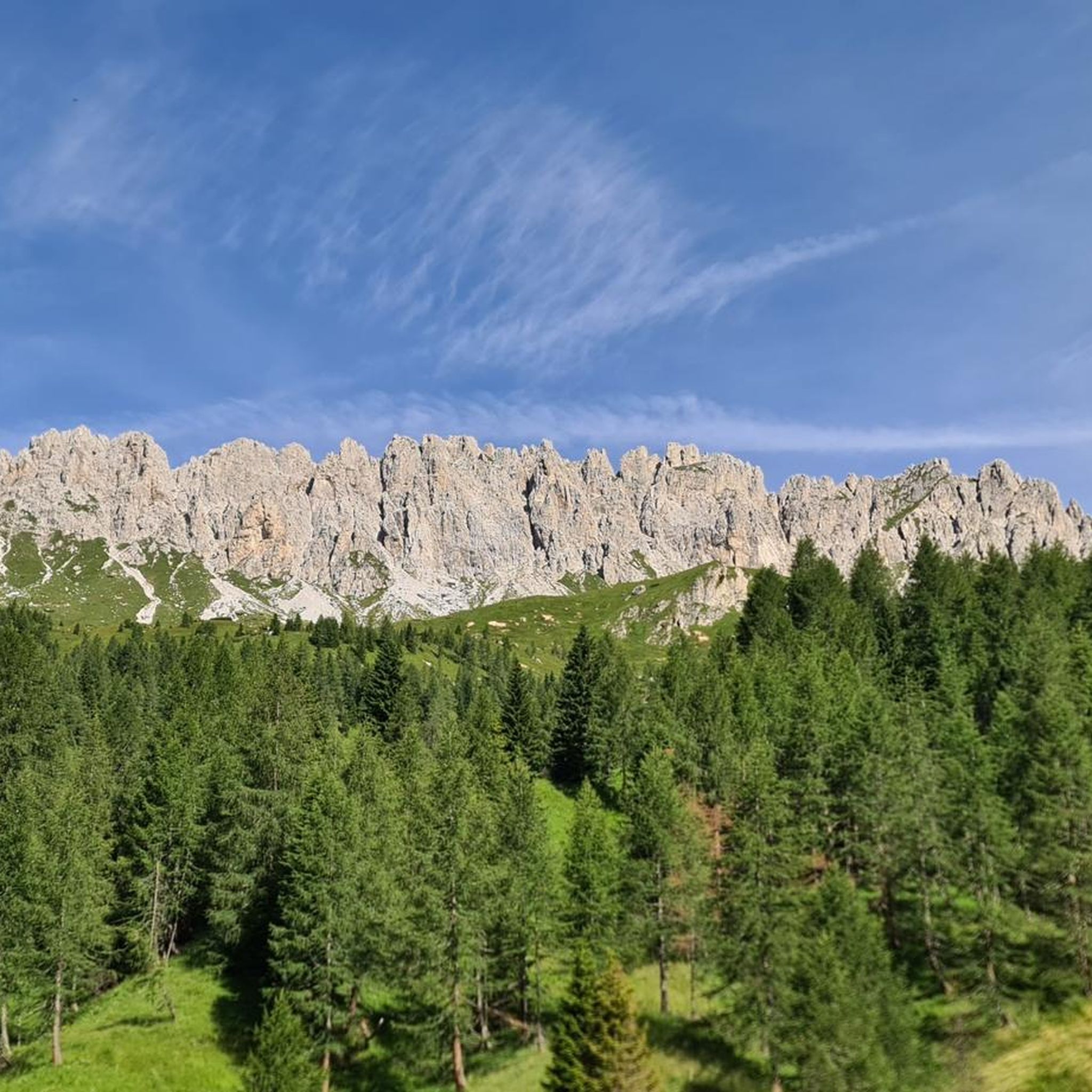
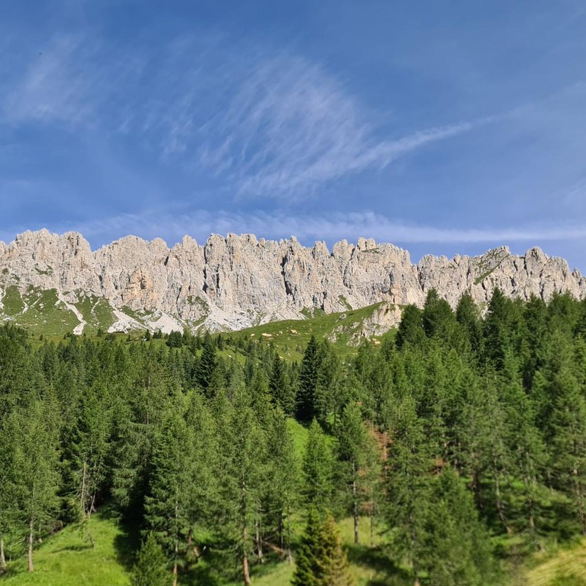
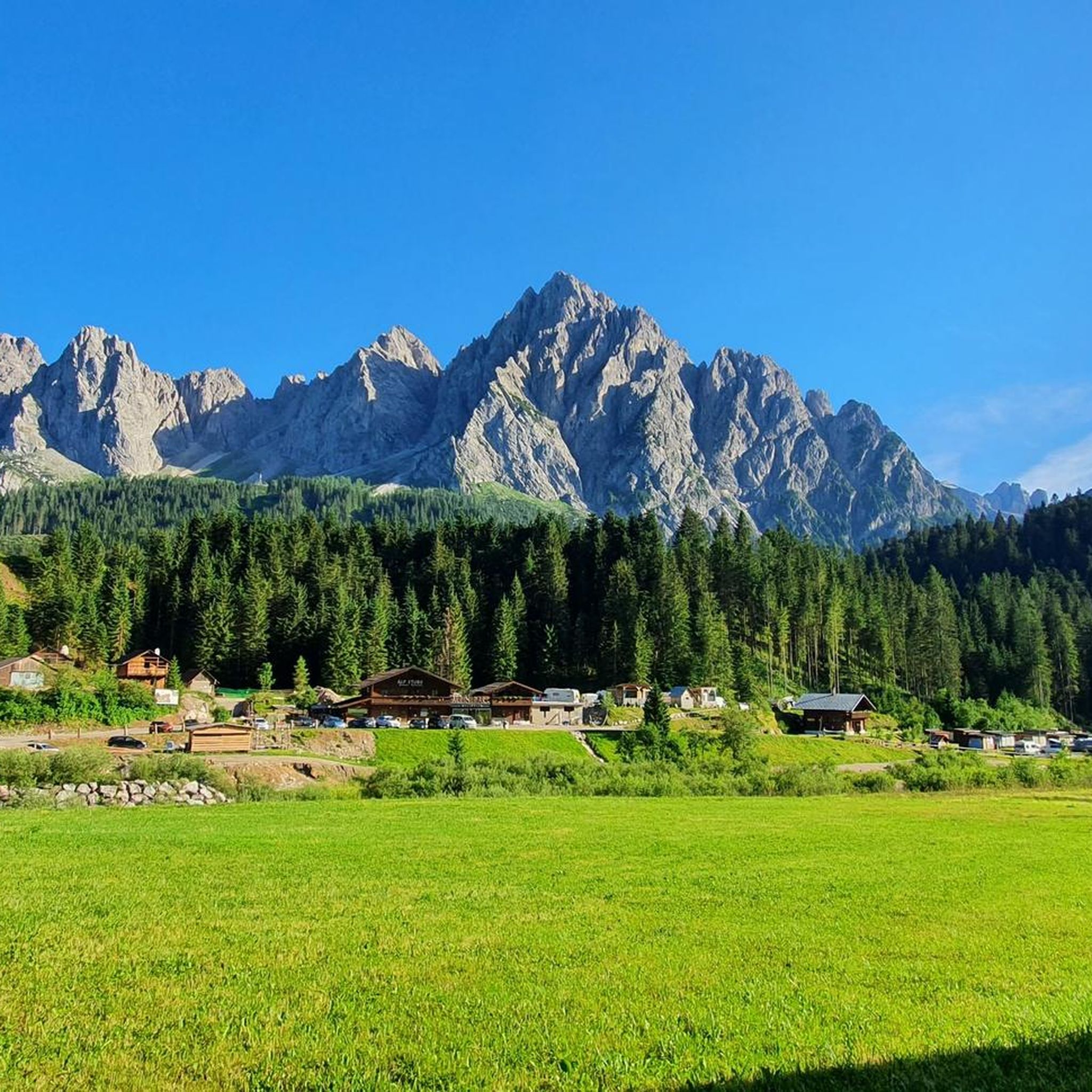
Hiking around Sappada - Plodn offers access to diverse alpine landscapes situated between the Dolomites and Carnic Alps. The region features prominent peaks such as Monte Peralba, the source of the Piave River, and challenging climbs like Monte Lastroni. Hikers encounter various natural features, including the Cascata Acquatona waterfalls, the tranquil Laghi d'Olbe, and extensive larch and fir forests. The terrain ranges from verdant pastures to steep rock faces, providing varied hiking experiences.
Best hiking trails around Sappada - Plodn
- The most popular hiking route is Monte Lastroni and Laghi d'Olbe Loop Trail, a 7.3 miles (11.7 km) trail that takes 5 hours 1 minute to complete. This difficult route explores the area around Monte Lastroni and the Olbe Lakes.
- Another top favourite among local hikers is Monte Lastroni and Olbe Lakes Loop, a difficult 8.5 miles (13.7 km) path. This trail offers views of the Olbe Lakes and the surrounding mountain terrain.
- Local hikers also love the From Piave Springs to Passo dell'Oregone via Historic Border Trail, a 4.8 miles (7.8 km) trail leading through the Piave River springs area, often completed in about 3 hours 27 minutes.
- Hiking around Sappada - Plodn is defined by the peaks of the Dolomites and Carnic Alps, alpine lakes, and extensive forests. The network of routes offers options for various ability levels, from moderate forest paths to difficult alpine ascents.
- The routes in Sappada - Plodn are highly rated by the komoot community with an average score of 4.4 stars from over 800 reviews. More than 5000 hikers have used komoot to explore Sappada - Plodn's varied terrain.
Last updated: September 26, 2026
4.7
(61)
356
hikers
11.7km
05:01
930m
930m
Hard hike. Very good fitness required. Sure-footedness, sturdy shoes and alpine experience required.
4.7
(32)
151
hikers
13.7km
06:38
1,150m
1,150m
Hard hike. Very good fitness required. Sure-footedness, sturdy shoes and alpine experience required.

4.7
(45)
223
hikers
7.78km
03:28
610m
610m
Moderate hike. Good fitness required. Mostly accessible paths. Sure-footedness required.
4.3
(27)
102
hikers
9.32km
04:28
760m
750m
Hard hike. Good fitness required. Sure-footedness, sturdy shoes and alpine experience required.
4.7
(9)
67
hikers
9.89km
04:36
900m
890m
Moderate hike. Good fitness required. Mostly accessible paths. Sure-footedness required.
Get access to more routes and recommendations from other explorers.
Already have an account?
Our route recommendations are based on thousands of hikes, rides, and runs completed by other people on komoot.
Start today with a free account
Your next adventure awaits.
Popular around Sappada - Plodn



Other adventures around Sappada - Plodn

Tips from the Community

From the Rifugio Calvi, the panorama to the southwest is impressive, reaching all the way to the Dolomites. It is located below the steep walls of Monte Chiadenis and Monte Peralba at an altitude of 2,164 m. It was inaugurated in 1926 and is the highest mountain hut in Friuli. The panorama
0
0

Going up or down path 327 you come across this little bridge that crosses the stream.
0
0

beautiful view, difficult but doable climb
0
0
beautiful view in the refuge very friendly
0
0


Walk and look around around, take your time. Some still speak a local German dialect similar to Schwytzertüütsch.
0
0

The viewpoint is somewhat hidden off the path.
0
0

Small church dedicated to the owners of the old refuge of the Laghi d'Olbe now completely destroyed. Open 24 hours a day, it offers an excellent shelter on days with the coldest temperatures and some interesting photographic perspectives for the most passionate.
0
0
Frequently Asked Questions
What kind of landscapes can I expect to see while hiking in Sappada - Plodn?
Sappada - Plodn is nestled between the majestic Dolomites and Carnic Alps, offering a diverse range of landscapes. You'll encounter imposing peaks like Mount Peralba, the source of the Piave River, dramatic waterfalls such as the Cascata Acquatona (Katinaloch), and tranquil alpine lakes like the Laghi d'Olbe and Wolayersee. The region is also characterized by vast larch and fir forests, verdant pastures, and vibrant alpine meadows.
Are there any easy hiking trails suitable for beginners or families in Sappada - Plodn?
Yes, Sappada - Plodn offers trails for all abilities. An accessible option is the SR355 from Sappada to Plodn, an easy 2.021-kilometer out-and-back trail with a modest elevation gain. This path is suitable for all skill levels and includes points of interest like the Beata Vergine della Salute wayside shrine and convenient drinking water stations. Overall, there are over 25 easy routes available in the area.
What are some notable natural features or landmarks to look out for on the trails?
Hikers can discover several stunning natural features. The source of the Piave River at Mount Peralba is a significant landmark. You can also visit the impressive Cascata Acquatona, also known as Katinaloch, a gorge with waterfalls. For serene alpine beauty, the Lake Wolayer and the Laghi d'Olbe are captivating destinations. Additionally, the region's traditional hamlets, like Lerpa and Granvilla, offer glimpses into local culture and architecture.
Are there any circular hiking routes in Sappada - Plodn?
Yes, there are several circular routes available. For example, the Monte Lastroni and Laghi d'Olbe Loop Trail is a challenging 11.7 km loop that explores the area around Monte Lastroni and the Olbe Lakes. Another moderate option is the Laghi d'Olbe Circuit from Sappada (via CAI 135), which is a 9.9 km loop.
What is the best time of year to go hiking in Sappada - Plodn?
The region offers beautiful hiking experiences throughout the warmer months. Summer is ideal for exploring the high alpine trails and enjoying the vibrant alpine meadows. The landscape changes with the seasons, with larch and fir forests providing stunning colors in autumn. While some trails might be accessible, winter hiking would require specific gear and conditions due to snow.
Are there mountain refuges or places to stop for food and rest along the trails?
Yes, many trails in Sappada - Plodn feature welcoming mountain refuges. These provide opportunities for rest, accommodation, and local cuisine. Notable refuges include the Wolayersee Hut, the Hochweißstein Hut (known for its desserts), and the Edoardo Tolazzi Hut. The Rifugio Tenente Giuseppe Fabbro is also located along the Alta Via 6 of the Dolomites.
What do other hikers enjoy most about hiking in Sappada - Plodn?
The area is highly rated by the komoot community, with an average score of 4.4 stars from over 800 reviews. Hikers often praise the stunning Dolomites and Carnic Alps scenery, the captivating waterfalls and alpine lakes, and the diverse network of trails that cater to various abilities. The combination of natural beauty and cultural richness, including historic villages, is frequently highlighted.
Can I reach the trailheads using public transport, or is parking available?
While specific public transport routes to all trailheads vary, Sappada - Plodn is generally accessible. For detailed information on public transport options to specific starting points or available parking facilities, it's advisable to consult local tourist information or the official Sappada tourism website: visitsappada.it.
Are there any trails that offer historical insights or points of interest?
Yes, the region has historical significance. For instance, you can find World War I testimonies on Monte Lastroni, offering a poignant connection to the past during your hikes. The From Piave Springs to Passo dell'Oregone via Historic Border Trail also leads through an area with historical context.
How many hiking trails are available in Sappada - Plodn?
There are over 115 hiking trails available in Sappada - Plodn, offering a wide range of options for different skill levels and preferences. This includes over 25 easy routes, more than 50 moderate trails, and around 40 difficult alpine ascents.
What kind of wildlife might I encounter on the trails in Sappada - Plodn?
The diverse alpine environment of Sappada - Plodn is home to various wildlife. While specific sightings are never guaranteed, hikers might encounter typical alpine fauna such as chamois, ibex, marmots, and various bird species. The extensive forests and meadows provide habitats for a rich biodiversity.
Most popular routes around Sappada - Plodn
Most popular attractions around Sappada - Plodn

Get inspired with the komoot mobile app


Explore more
Browse the best Hikes in other regions.
