The best road cycling routes around Silea
4.4
(249)
9,737
riders
395
rides
Road cycling routes around Silea are characterized by flat terrain and proximity to waterways. The region features a network of paths along rivers such as the Sile and Melma, connecting various villages and agricultural areas. Elevation gains are minimal, making the area suitable for extended rides without significant climbs. The landscape primarily consists of open fields, riverbanks, and small settlements.
Best road cycling routes around Silea
- The most popular road cycling route is Musestre village center – Meolo Riverside loop…
Last updated: August 27, 2026
4.9
(9)
158
riders
Moderate road ride. Good fitness required. Some segments of this route may be unpaved and difficult to ride.
52
riders
Moderate road ride. Great for any fitness level. Some segments of this route may be unpaved and difficult to ride.

Sign up for free
22
riders
Moderate road ride. Great for any fitness level. Some segments of this route may be unpaved and difficult to ride.
3.0
(1)
22
riders
Easy road ride. Great for any fitness level. Mostly well-paved surfaces and easy to ride.
16
riders
Easy road ride. Great for any fitness level. Mostly well-paved surfaces and easy to ride.
Get access to more routes and recommendations from other explorers.
Sign up for free
Already have an account?
Our route recommendations are based on thousands of hikes, rides, and runs completed by other people on komoot.
Start today with a free account
Your next adventure awaits.
Login or Signup


Tips from the Community

The Church of San Michele Arcangelo in Quarto d'Altino is a valuable example of neoclassical architecture, consecrated in 1855 to replace the old, now inadequate, parish church. The facade, imposing and harmonious, is defined by four large pilasters supporting a majestic triangular pediment, reflecting a stylistic rigor that dominates the central square. The interior, structured with a single nave, strikes with its luminosity and the elegance of its decorations. Among the notable works are the ceiling frescoes and the marble altars that adorn the side walls. The bell tower, which stands isolated next to the structure, is an iconic landmark for the area. The church is not just a place of worship, but the heart of a community whose roots lie in the history of ancient Altinum, representing the link between Roman memory and the modern vitality of the town overlooking the Sile river.
1
0

The church of San Michele Arcangelo in Quarto d'Altino was built on land purchased in 1852 and completed in 1905, based on a design by Costante Gris, in a neoclassical style and with a single nave. The bell tower was built between 1945 and 1956, based on a design by architect Angelo Scattolin. At its summit stands a statue of the patron saint Michael, a 1958 sculpture, designed by Giuseppe Romanelli and executed by Simon Benetton.
3
0
Some images of the municipality of Casale sul Sile. https://it.wikipedia.org/wiki/Casale_sul_Sile
5
0

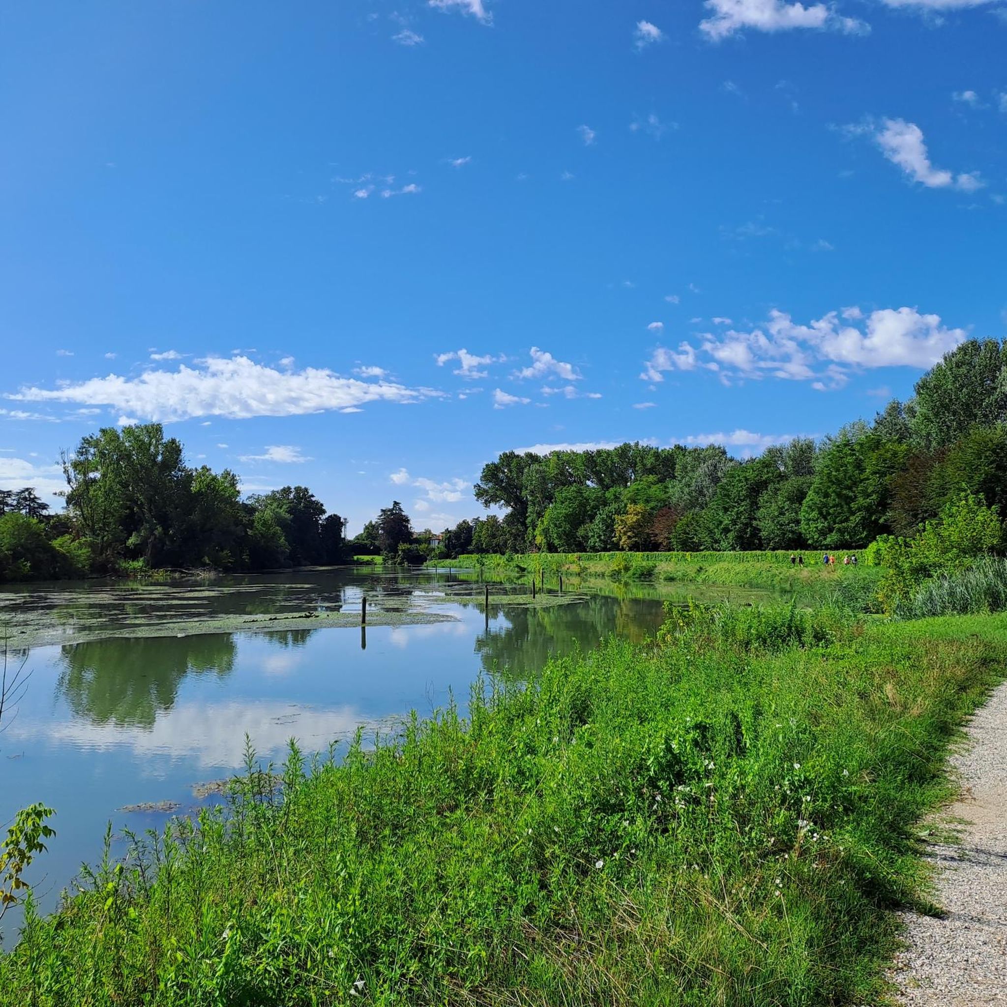
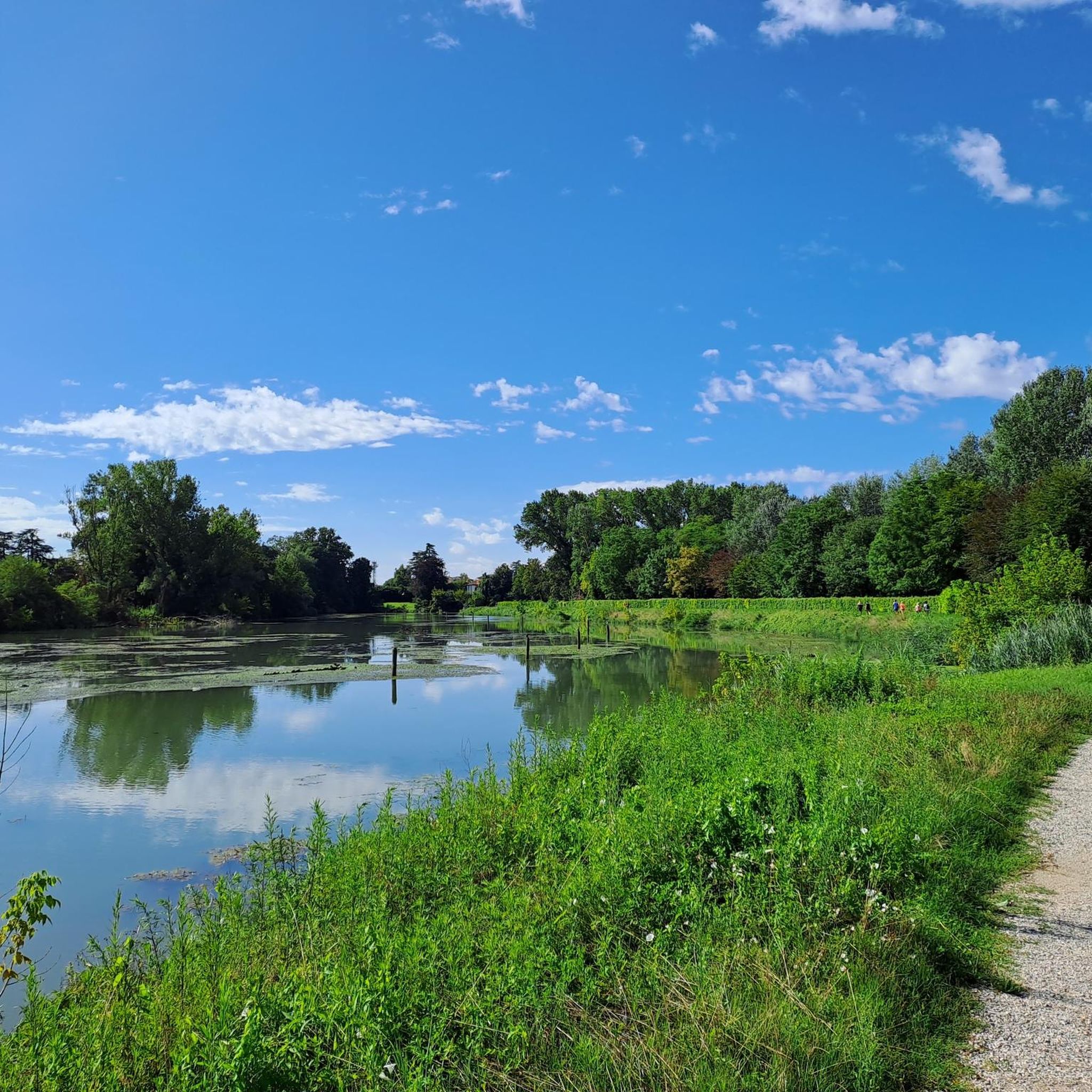
The Musestre river and its banks offer a suggestive glimpse of the Venetian countryside between the provinces of Treviso and Venice. Historically known as the "washerwomen's river", the Musestre originates in Breda di Piave and concludes its course by flowing into the Sile river precisely at the hamlet of Musestre, in the municipality of Roncade.
0
0

Beautiful river that crosses the small hamlet of Musestre.
1
0
The iron bridge of Quarto d'Altino is a truss metal structure that spans the Sile river, connecting the town center to the hamlet of Musestre in Roncade. This bridge represents a fundamental piece of local industrial archaeology and 20th-century road infrastructure, built to replace the old barge systems and permanently unite the provinces of Venice and Treviso. Characterized by a robust and functional structure, it today allows vehicular and pedestrian traffic at a point in the river where the natural landscape blends with civil architecture. Its metallic aesthetic and the rhythmic sound of cars on its joints make it an iconic and immediately recognizable element for anyone traveling along the banks of the Sile.
1
0
The Carraresi Tower is the last vestige of the ancient medieval castle of Casale sul Sile, located in a strategic position along the river bend. Built in the 14th century by the powerful Paduan family of the Carraresi, the structure was part of a defensive system aimed at controlling river traffic towards the Venice Lagoon. The tower, built of brick, has a massive structure that has withstood centuries and the transformations of the territory. Today it represents the historical symbol of the municipality and a fundamental testimony of the era when the Sile was one of the main commercial and military communication routes between the hinterland and the Serenissima, integrating perfectly into the protected river landscape of the Parco del Sile.
0
0
It originates in Breda di Piave and receives the waters of the Musestrelle and the Fossa. It flows calmly through the countryside, creating a characteristic ecosystem around it, both from an environmental and landscape perspective, which is why many have proposed the creation of a park. After crossing the center of Roncade, it flows into the Sile, at the location of the town of the same name. Towards the end of its course, after the Rachello mill, it divides into two parallel branches that rejoin shortly after. The waters of the Musestre fall within the area of competence of the Consorzio di bonifica Piave.
20
0
Frequently Asked Questions
What is the general terrain like for road cycling around Silea?
Road cycling routes around Silea are primarily characterized by flat terrain and close proximity to waterways. You'll find a network of paths along rivers like the Sile and Melma, connecting various villages and agricultural areas. Elevation gains are minimal, making the region ideal for extended rides without significant climbs.
Are there many easy road cycling routes in Silea for beginners or families?
Yes, Silea offers a good selection of easy routes. Out of over 400 road cycling tours available, approximately 160 are classified as easy. These routes are generally flat and follow riverbanks, making them suitable for beginners or family outings. An example of an easy route is the Musestre village center – Meolo Riverside loop from Roncade, which is 26.1 miles long.
What are the typical distances for road cycling routes in Silea?
Route distances in Silea vary, catering to different preferences. You can find shorter loops, such as the Church of Ca’ Tron – Church of Ca' Tron loop from Roncade at 13.0 miles (21.0 km), or longer rides like the Monument to the Fallen of Roncade – San Giuliano Park, Mestre loop from Roncade, which covers 34.4 miles (55.4 km).
Are there challenging road cycling routes in Silea?
While the terrain around Silea is predominantly flat, offering minimal elevation gain, there are still routes classified as moderate or difficult, often due to their length or specific conditions. Approximately 29 routes are considered difficult, and over 220 are moderate, providing options for more experienced cyclists looking for longer distances.
What kind of scenic views can I expect on Silea's road cycling routes?
The routes in Silea offer picturesque views primarily along riverbanks, through open agricultural fields, and connecting charming local villages. You'll experience tranquil riverine landscapes and the serene beauty of the Venetian countryside. For specific viewpoints, consider routes that pass by the Sile River, such as the Bridge over the Sile River loop from Roncade.
What do other road cyclists say about the routes in Silea?
The road cycling routes in Silea are highly regarded by the komoot community, holding an impressive average rating of 4.5 stars from nearly 200 reviews. Over 9,600 road cyclists have used komoot to explore the area, often praising the well-maintained paths, the peaceful riverside scenery, and the accessibility for various skill levels.
Are there any interesting landmarks or attractions to see along the road cycling routes in Silea?
Yes, several routes pass by or are close to interesting attractions. You can explore historical sites like the Tower of the Castello dei Carraresi in Casale sul Sile or the Castello Romano. For natural beauty, routes near the Sile River might offer glimpses of places like Lago Verde of Villapendola or Lake Le Bandie.
What is the best season for road biking in Silea?
Given the flat terrain and open landscapes, spring and autumn are generally ideal for road biking in Silea. The weather is typically mild, and the natural scenery is vibrant. Summer can also be pleasant, especially along the shaded river paths, but it's advisable to ride earlier in the morning or later in the afternoon to avoid the midday heat.
Are there many loop road bike trails available in Silea?
Yes, loop routes are very common for road cycling in Silea. Many of the popular routes, such as the Musestre village center – Meolo Riverside loop from Roncade and the Bridge over the Sile River loop from Roncade, are designed as loops, allowing you to start and finish at the same point.
Where do road bike trails typically start near Silea, and is parking available?
Many road cycling routes in the Silea area originate from nearby towns like Roncade or Carbonera. These towns often provide convenient starting points with parking options, allowing easy access to the network of riverside paths and agricultural roads. It's always a good idea to check specific route details for recommended parking locations.
Can I find road bike routes in Silea that pass by cafes or refreshment stops?
Yes, many routes in Silea connect various villages and small settlements, increasing the likelihood of passing by local cafes, trattorias, or shops where you can stop for refreshments. The region's focus on connecting communities along the rivers makes it convenient to find places to pause and refuel during your ride.
Most popular attractions around Silea

Get inspired with the komoot mobile app


Explore more
Browse the best Road cycling routes in other regions.
