The best running trails around Sant'Angelo Di Piove Di Sacco
4.1
(194)
12,238
runners
452
runs
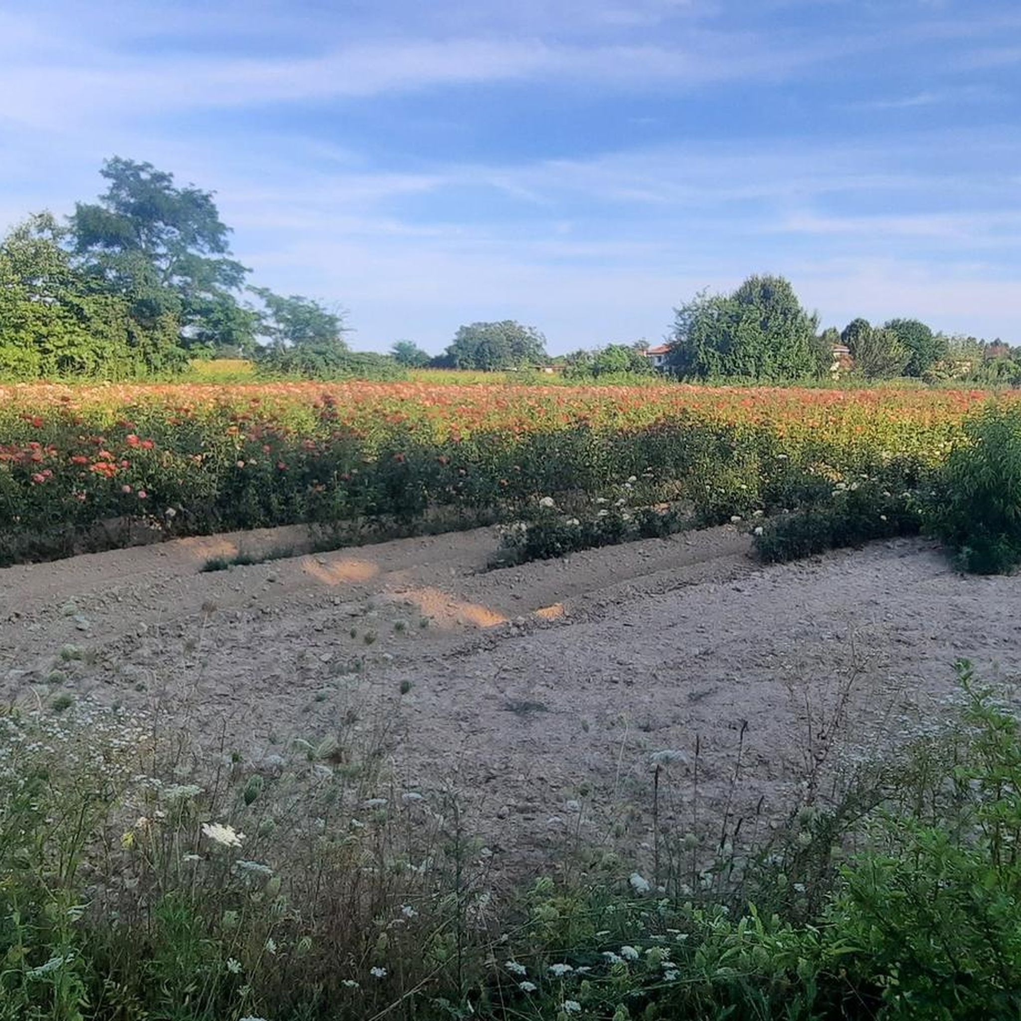
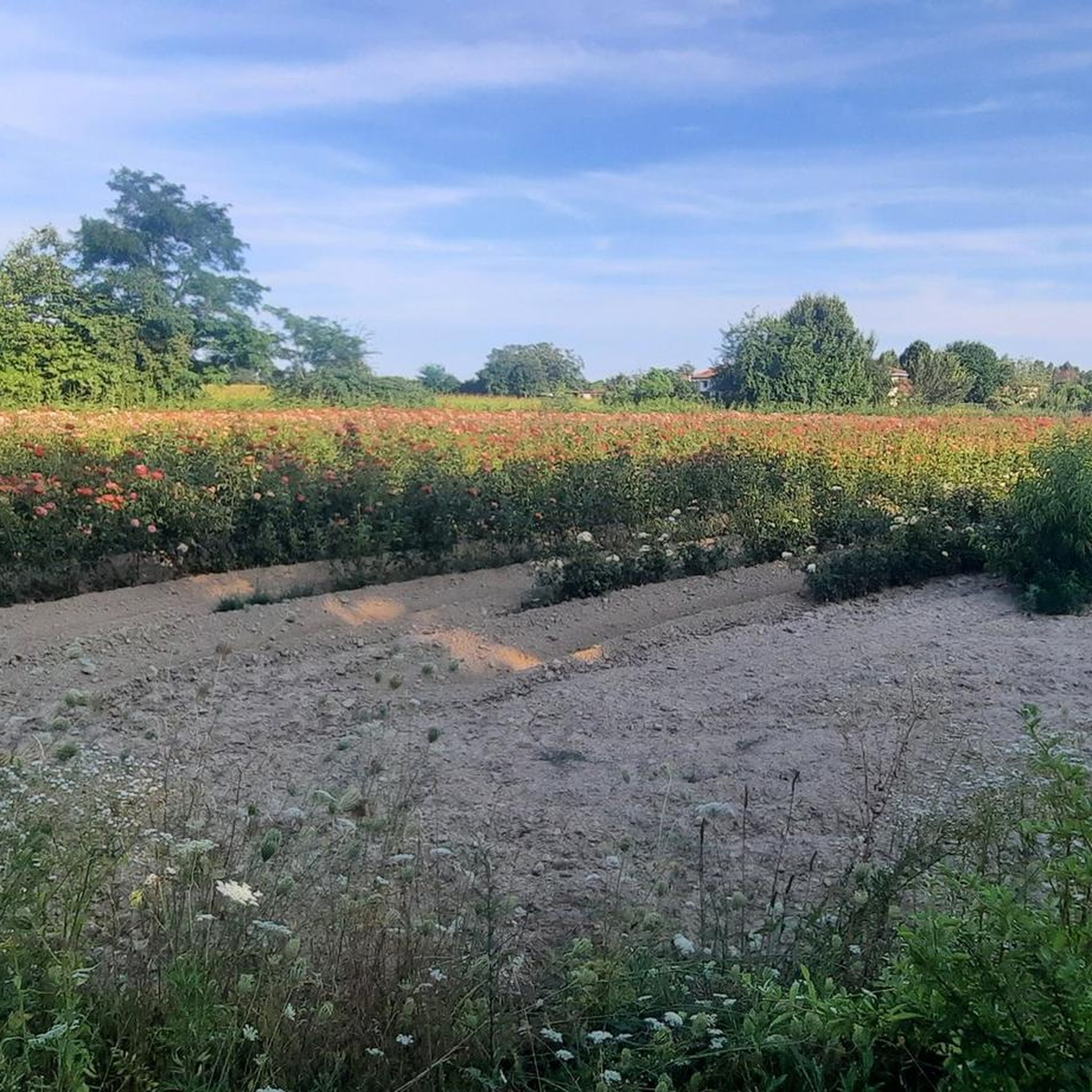
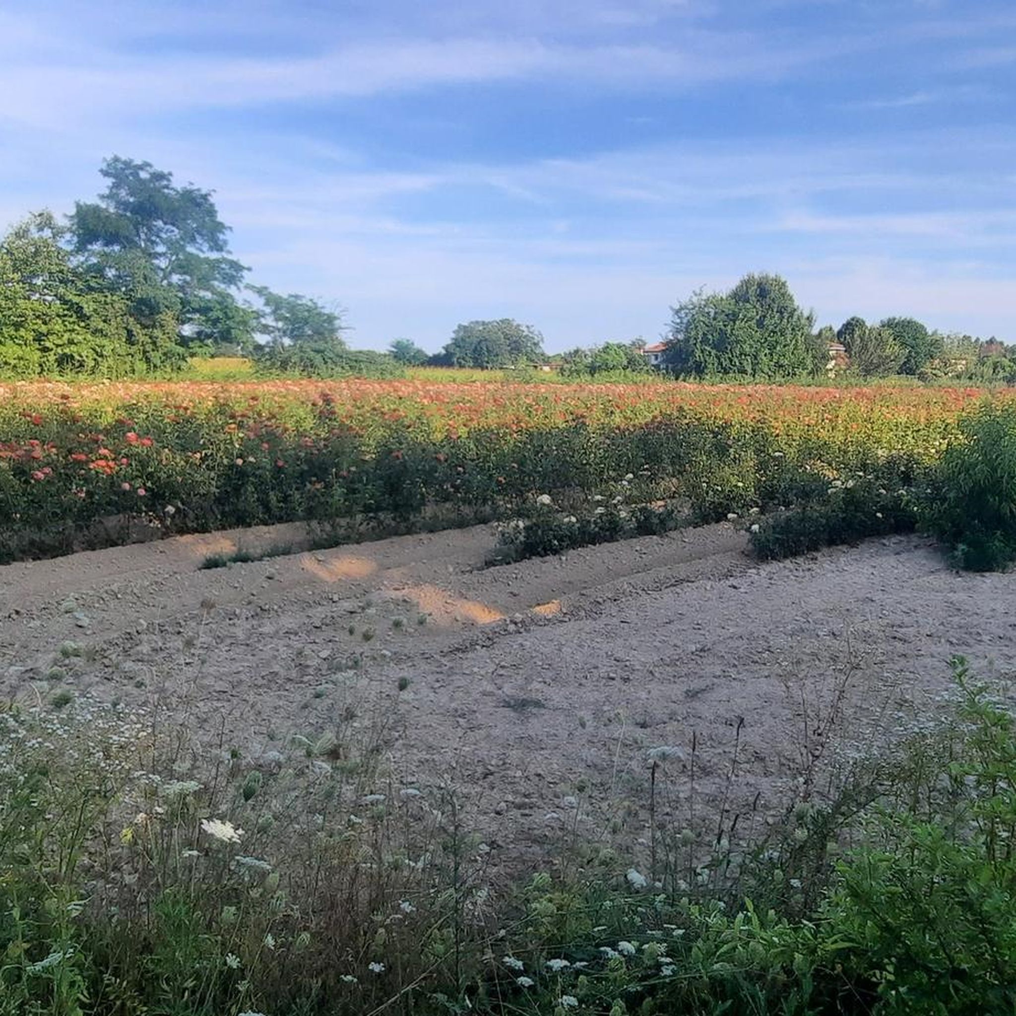
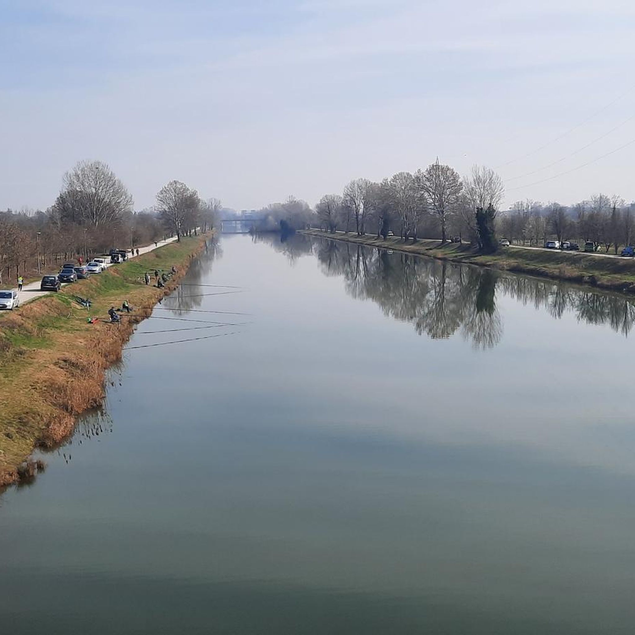
Jogging routes around Sant'Angelo Di Piove Di Sacco are characterized by the flat plains of the Veneto region, offering an environment ideal for running. The area features a network of trails along numerous rivers and canals, providing routes with minimal elevation gain. This predominantly flat landscape allows for consistent runs, suitable for various fitness levels. While the immediate area is flat, the nearby Euganean Hills offer more varied terrain for those seeking a different challenge.
Best jogging routes around Sant'Angelo…
Last updated: July 1, 2026
35
runners
10.2km
01:04
20m
20m
Moderate run. Good fitness required. Mostly paved surfaces. Suitable for all skill levels.
16
runners
4.84km
00:30
10m
10m
Easy run. Great for any fitness level. Mostly paved surfaces. Suitable for all skill levels.

Sign up for free
17
runners
9.30km
00:57
10m
10m
Moderate run. Good fitness required. Mostly paved surfaces. Suitable for all skill levels.
11
runners
12.4km
01:17
20m
20m
Moderate run. Good fitness required. Mostly paved surfaces. Suitable for all skill levels.
7
runners
6.27km
00:39
10m
10m
Moderate run. Good fitness required. Mostly paved surfaces. Suitable for all skill levels.
Get access to more routes and recommendations from other explorers.
Sign up for free
Already have an account?
Our route recommendations are based on thousands of hikes, rides, and runs completed by other people on komoot.
Start today with a free account
Your next adventure awaits.
Login or Signup

Tips from the Community

Historical museum of the button, a pleasant and interesting stopping point
0
0
www.museo storico della bottone.com
1
0
A museum that in an inviting environment hosts an unusual collection with great cultural aspects, is worth a visit! To arrive by bike DO NOT TAKE THE SS 516 but follow the secondary roads. Arrive from Via Caron (better to the south) or from Via Anello, north www.museostoricodelbottone.com
1
0
Frequently Asked Questions
How many running routes are available in Sant'Angelo Di Piove Di Sacco?
There are over 360 running routes around Sant'Angelo Di Piove Di Sacco, catering to various fitness levels. You'll find a wide selection of paths, from easy loops to more challenging distances.
What kind of terrain can I expect on the running trails in this region?
The terrain in Sant'Angelo Di Piove Di Sacco is predominantly flat, characteristic of the Veneto region's plains. Many routes follow riverbanks and canal-side paths, offering consistent, low-elevation runs ideal for endurance training or leisurely jogs. For those seeking more varied terrain, the nearby Euganean Hills provide options with undulating paths.
Are there any easy or beginner-friendly running routes?
Yes, the area offers many easy routes suitable for beginners. For example, the Running loop from Piove di Sacco is an easy 3.0-mile (4.8 km) trail that takes about 30 minutes to complete, perfect for a relaxed run through the flat plains.
Can I find circular running routes in Sant'Angelo Di Piove Di Sacco?
Absolutely. Many of the running paths in the area are designed as circular loops, allowing you to start and finish at the same point. Examples include the Running loop from Brugine, which is a moderate 4.7-mile (7.6 km) path, and the Running loop from Sandon, a 3.9-mile (6.3 km) trail.
What are some notable landmarks or natural features I might see while running?
While running, you'll often encounter scenic river and canal systems like the Brenta, Scolo Schilla, Canale Roncajette, and Canale Vigenzone. You might also pass by historical sites such as Villa Giovannelli Colonna or the impressive Villa Pisani, Stra. The Confluence of the Brenta River, Piovego Canal, and Naviglio del Brenta is another interesting natural point.
Are the running routes in Sant'Angelo Di Piove Di Sacco suitable for families?
Yes, the predominantly flat and accessible trails along waterways make many routes suitable for families. The minimal elevation gain ensures a comfortable experience for all ages, allowing for enjoyable outdoor time together. Consider shorter, easy loops for younger family members.
Are there dog-friendly running options in the area?
Many of the natural trails and riverbank paths are suitable for running with dogs, provided they are kept on a leash and you adhere to local regulations regarding pet waste. The open plains and waterside routes offer pleasant environments for you and your canine companion.
What is the best time of year to go running in Sant'Angelo Di Piove Di Sacco?
The spring and autumn months generally offer the most pleasant conditions for running, with mild temperatures and less humidity. Summer can be warm, especially in the flat plains, so early morning or late evening runs are recommended. Winter runs are also possible, though temperatures will be cooler.
Where can I find parking near the running trails?
Parking is generally available in and around the town center of Sant'Angelo Di Piove Di Sacco. Many routes start from accessible points within or near residential areas, where street parking or small public parking lots can often be found. It's advisable to check specific route starting points for the most convenient parking options.
How do other runners rate the trails in Sant'Angelo Di Piove Di Sacco?
The running routes in Sant'Angelo Di Piove Di Sacco are highly rated by the komoot community, with an average score of 4.2 stars from over 140 reviews. Runners often praise the tranquil waterside routes, the flat and consistent terrain, and the overall accessibility for various skill levels.
Are there any longer running routes for more experienced runners?
Yes, for those seeking longer distances, routes like the Running loop from Sant'Angelo di Piove di Sacco offer a moderate 7.5-mile (12.1 km) path. These longer loops allow for extended runs through the scenic plains and along the waterways.
Can I access the running trails using public transport?
Sant'Angelo Di Piove Di Sacco is connected by local public transport, which can provide access to the town center and areas close to various trailheads. It's recommended to check local bus schedules and routes to plan your journey to the starting points of the running trails.
Most popular routes around Sant'Angelo Di Piove Di Sacco
Most popular attractions around Sant'Angelo Di Piove Di Sacco

Get inspired with the komoot mobile app


Explore more
Browse the best Running Trails & Routes in other regions.
