The best walks and hikes around Sant'Angelo Di Piove Di Sacco
4.2
(478)
3,417
hikers
203
hikes
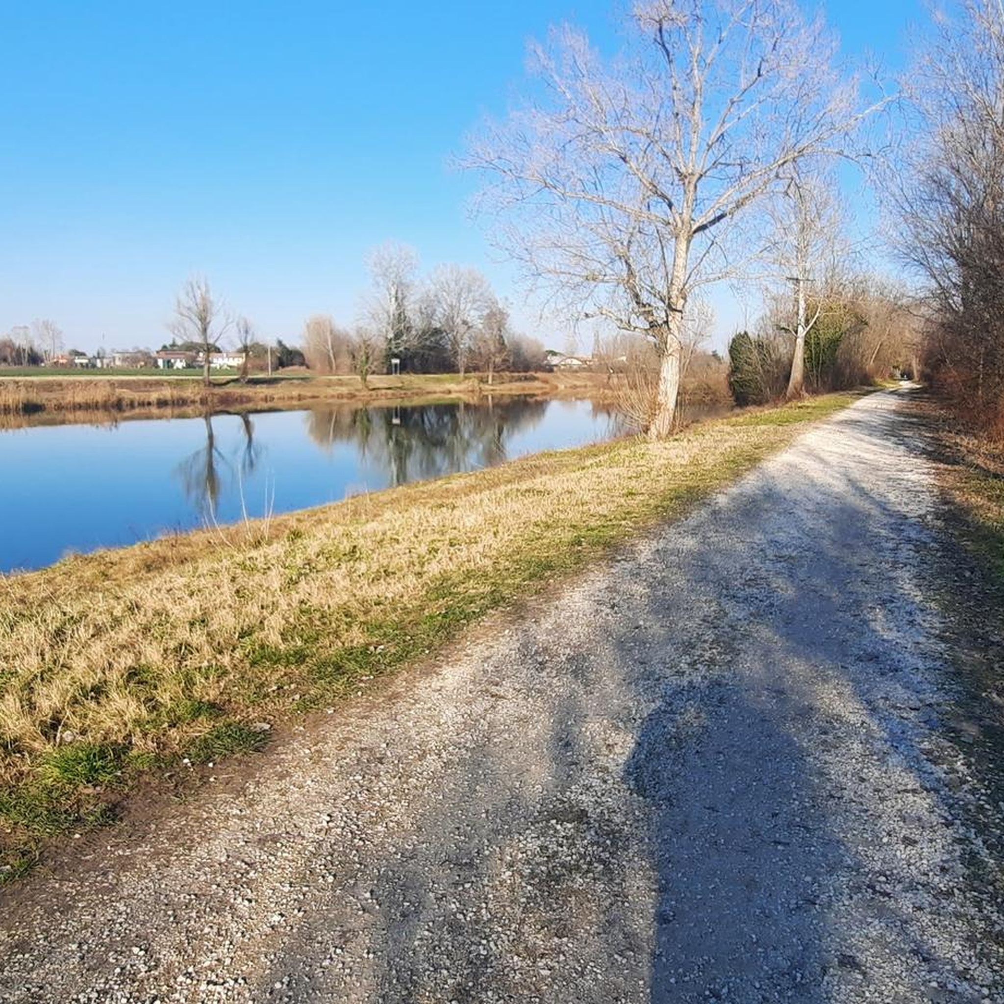
Hiking around Sant'Angelo Di Piove Di Sacco, located in Italy's Padua province, is characterized by its flat, fertile landscape shaped by the Brenta River and its extensive network of canals. The region offers accessible trails, often following riverbanks, providing picturesque settings for walks. These routes frequently pass historical Venetian villas along the Brenta Riviera, blending natural beauty with cultural heritage. The terrain is generally flat, making it suitable for leisurely outdoor experiences.
Best hiking trails around Sant'Angelo Di Piove Di…
Last updated: July 1, 2026
4.5
(33)
150
hikers
9.18km
02:19
10m
10m
Moderate hike. Good fitness required. Easily-accessible paths. Suitable for all skill levels.
4.0
(1)
25
hikers
6.53km
01:39
10m
10m
Easy hike. Great for any fitness level. Easily-accessible paths. Suitable for all skill levels.

Sign up for free
23
hikers
Moderate hike. Good fitness required. Easily-accessible paths. Suitable for all skill levels.
5.0
(2)
20
hikers
10.7km
02:42
10m
10m
Moderate hike. Good fitness required. Easily-accessible paths. Suitable for all skill levels.
4.0
(1)
10
hikers
16.0km
04:03
30m
30m
Moderate hike. Good fitness required. Easily-accessible paths. Suitable for all skill levels.
Get access to more routes and recommendations from other explorers.
Sign up for free
Already have an account?
Our route recommendations are based on thousands of hikes, rides, and runs completed by other people on komoot.
Start today with a free account
Your next adventure awaits.
Login or Signup

Tips from the Community

Getting to the Casone Rosso on Via Fiumicello is easy, as it's just a short walk from the center of Piove di Sacco. More specifically, the Casone Rosso is located in Corte, one of the hamlets of Piove di Sacco. It was built in 1800 and was inhabited by one family until the early 1990s. Since 1993, it has been open to visitors only, following a careful renovation following a fire in 1993. The reconstruction was carried out meticulously, taking into account the original features of the structure, respecting the distinctive features of the original typology and the materials used. This modestly sized dwelling has a characteristic thatched roof and, after the last restoration in 1998, its exterior plaster was made with red clay, although the original structure was pink; this is precisely why it's called the Casone Rosso. Before the renovation, the Casone had only four original rooms; As was common at the time, there was a kitchen, a storage room, and two bedrooms. In 1975, the decision was made to expand the Casone, adding additional rooms. To keep the rooms warm in the winter and cool in the summer, the windows were small. Surrounding the Casone is a very characteristic and original garden, featuring benches and other tools typical of rural and peasant life of the past. https://saccisica.it/item/casone-rosa-di-via-fiumicello-attuale-casone-rosso/
1
0

Second Casone of the ring.
1
0

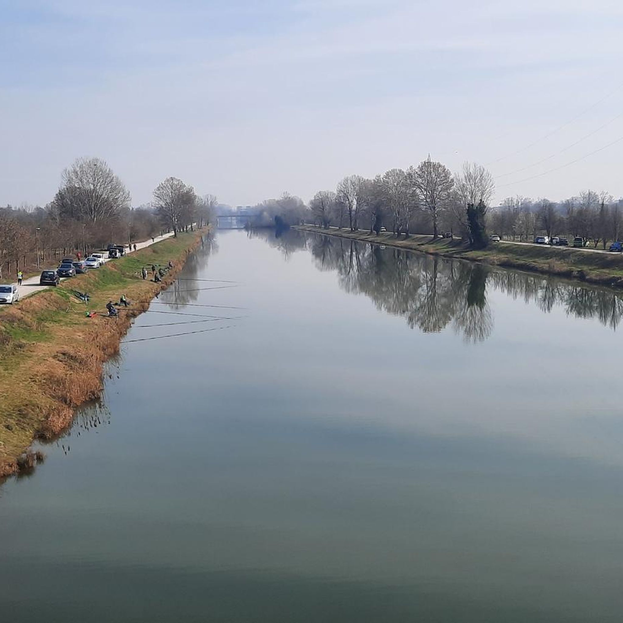
In Stra, the Piovego canal joins the Brenta river, at the height of the Naviglio del Brenta, an important historical waterway between Padua and Venice. The intersection is regulated by locks such as the Porte Vinciane, which allow hydraulic control and navigation, also contributing to the protection of the lagoon. This junction is part of the broader hydraulic structure of the Veneto plain, divided into high, medium and low plains. The high plain has permeable soils with deep aquifers, while the medium and low plains are characterized by finer sediments and more superficial aquifers, requiring a network of canals and reclamation works to manage the water and prevent floods.
1
0

nice, there's a little bridge just for bikes, then it ends on a staircase
1
0


If you want to get to the historic center of Padua coming from Venice you have to follow the PIOVEGO leaving the BRENTA on your right
3
1
Bridge that connects Noventa to Camin
8
0
Frequently Asked Questions
What is the general terrain like for hiking around Sant'Angelo Di Piove Di Sacco?
The terrain in Sant'Angelo Di Piove Di Sacco is predominantly flat and fertile, shaped by the Brenta River and its extensive network of canals. This makes for generally easy and accessible trails, often following riverbanks and dedicated paths, suitable for leisurely walks rather than strenuous climbs.
How many hiking trails are available in the Sant'Angelo Di Piove Di Sacco area?
There are over 140 hiking routes around Sant'Angelo Di Piove Di Sacco. The majority of these are classified as easy or moderate, offering a wide range of options for different fitness levels.
Are there any easy hiking routes suitable for beginners or families?
Yes, the area is well-suited for easy hikes. Many trails follow the flat riverbanks and canals. An excellent option is the Bicycle Lane to Piove di Sacco loop from Piove di Sacco, which offers a smooth surface and is easy to navigate.
What kind of historical landmarks or attractions can I see while hiking?
Hiking in this region often blends natural beauty with rich history. You can encounter magnificent Venetian villas along the Brenta Riviera, such as Villa Pisani in Stra, known as the 'queen of Venetian villas', or Villa Giovannelli Colonna. Many routes also pass through charming towns with historical points like the Duomo di San Michele Arcangelo.
Are there any circular hiking routes in Sant'Angelo Di Piove Di Sacco?
Yes, many of the trails in the area are designed as loops, allowing you to start and end at the same point. For example, the Duomo di San Michele Arcangelo – Piove di Sacco loop from Piove di Sacco is an easy circular route that takes you through local historical points.
What do other hikers say about the trails in Sant'Angelo Di Piove Di Sacco?
The hiking routes in Sant'Angelo Di Piove Di Sacco are highly rated by the komoot community, with an average score of 4.1 stars from over 390 reviews. Hikers often praise the tranquil waterscapes, the verdant surroundings, and the opportunity to combine outdoor activity with cultural exploration of the historical villas.
Are the hiking trails in Sant'Angelo Di Piove Di Sacco suitable for dogs?
Given the flat, riverine nature of the trails and the presence of many open paths along canals and green spaces, most routes are generally suitable for dogs, provided they are kept on a leash and local regulations are followed. Always ensure your dog is comfortable with the distance and conditions.
What is the typical length and duration of hikes in this region?
Hikes in Sant'Angelo Di Piove Di Sacco vary, but many popular routes are designed for leisurely enjoyment. For instance, the Trail Along the River loop from Vigonovo is about 6.9 km (4.3 miles) and typically takes around 1 hour 45 minutes to complete. Longer moderate options are also available, such as the Parco I Pioppi Playground loop from Vigonovo, which is about 14.3 km (8.9 miles).
Is public transport available to access hiking trailheads?
Sant'Angelo di Piove di Sacco is located approximately 25 kilometers west of Venice and 12 kilometers east of Padua. The area is generally accessible, and while specific trailhead access via public transport may vary, local bus services connect the main towns. It's advisable to check local transport schedules for routes connecting to your chosen starting point.
What is the best time of year to go hiking in Sant'Angelo Di Piove Di Sacco?
The flat, riverine landscape makes hiking enjoyable for much of the year. Spring and autumn offer pleasant temperatures and beautiful scenery, with blooming flora or vibrant fall colors. Summer can be warm, but the proximity to water bodies can provide some relief. Winter hiking is also possible, though some paths might be damp.
Are there any specific natural features or viewpoints to look out for?
The primary natural features are the Brenta River and its extensive network of canals, which define the picturesque waterscapes. The Confluence of the Brenta River, Piovego Canal, and Naviglio del Brenta is a notable point of interest, showcasing the region's intricate waterways. The flat terrain means there are no elevated viewpoints, but the riverbanks offer continuous scenic views.
Most popular routes around Sant'Angelo Di Piove Di Sacco
Most popular attractions around Sant'Angelo Di Piove Di Sacco

Get inspired with the komoot mobile app


Explore more
Browse the best Hikes in other regions.
