The best road cycling routes around Torriglia
4.6
(76)
1,446
riders
44
rides
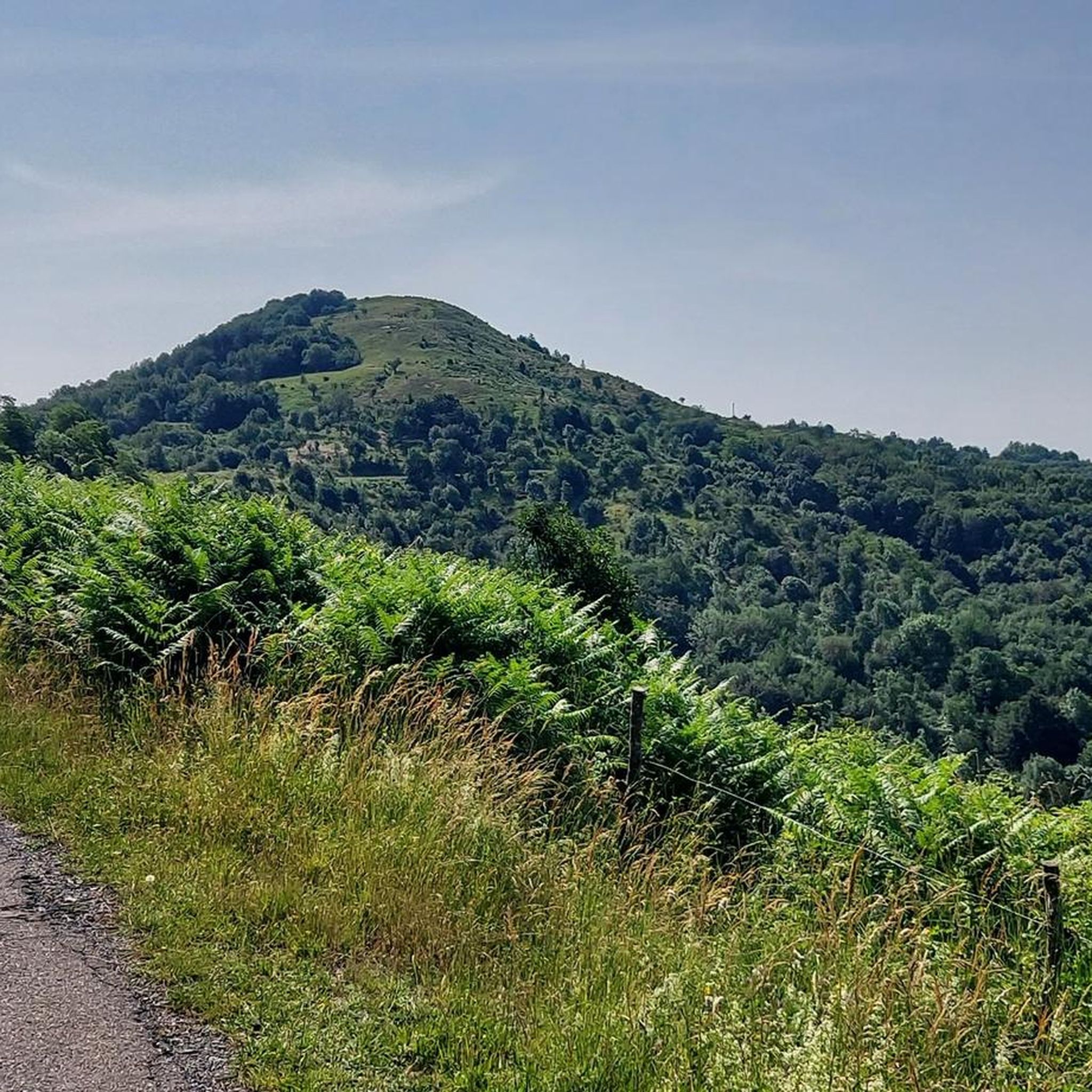
Road cycling routes around Torriglia are situated within the Ligurian Apennines, specifically in the upper Trebbia Valley, offering diverse terrain for cyclists. The region is characterized by dramatic hills, mountainous peaks, and the scenic Trebbia River, which carves through the landscape. Cyclists can navigate routes through the Antola Regional Natural Park, featuring varied ecosystems including woodlands and open pastures, and around the artificial Lake Brugneto.
Best road cycling routes around Torriglia
- The most popular road cycling route is From Torriglia…
Last updated: June 27, 2026
5.0
(4)
21
riders
47.3km
03:01
1,420m
1,420m
Hard road ride. Very good fitness required. Mostly well-paved surfaces and easy to ride.
5.0
(1)
9
riders
27.3km
01:41
720m
730m
Moderate road ride. Good fitness required. Mostly well-paved surfaces and easy to ride.

Sign up for free
4.6
(9)
62
riders
71.8km
03:11
720m
720m
Moderate road ride. Good fitness required. Mostly well-paved surfaces and easy to ride.
5.0
(3)
33
riders
64.7km
03:47
1,580m
1,580m
Hard road ride. Very good fitness required. Mostly well-paved surfaces and easy to ride.
5.0
(2)
40
riders
93.1km
04:36
1,440m
1,440m
Hard road ride. Very good fitness required. Mostly well-paved surfaces and easy to ride.
Get access to more routes and recommendations from other explorers.
Sign up for free
Already have an account?
Our route recommendations are based on thousands of hikes, rides, and runs completed by other people on komoot.
Start today with a free account
Your next adventure awaits.
Login or Signup
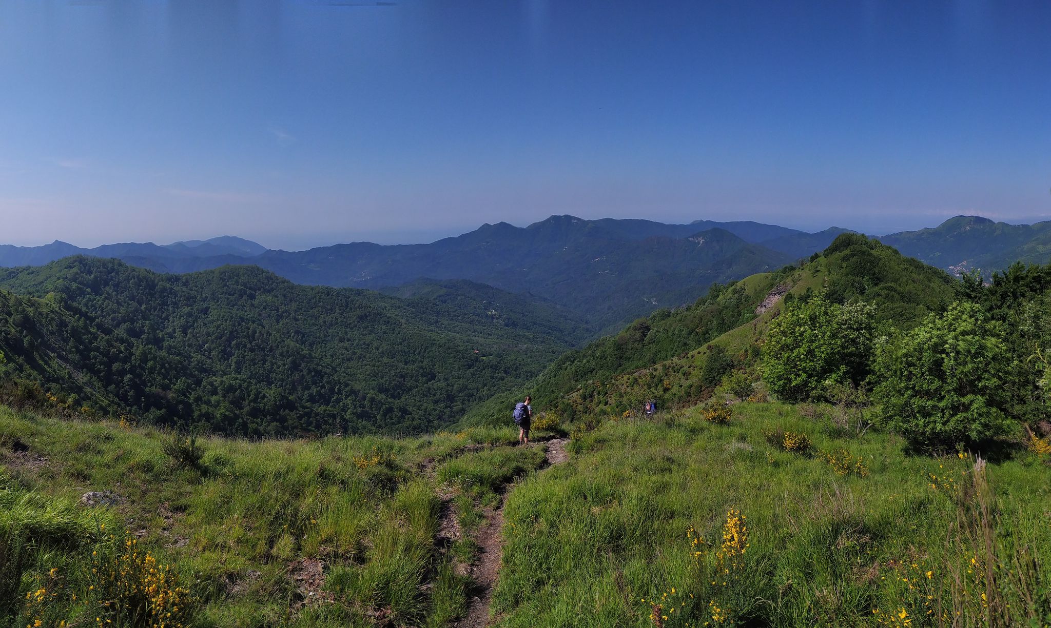
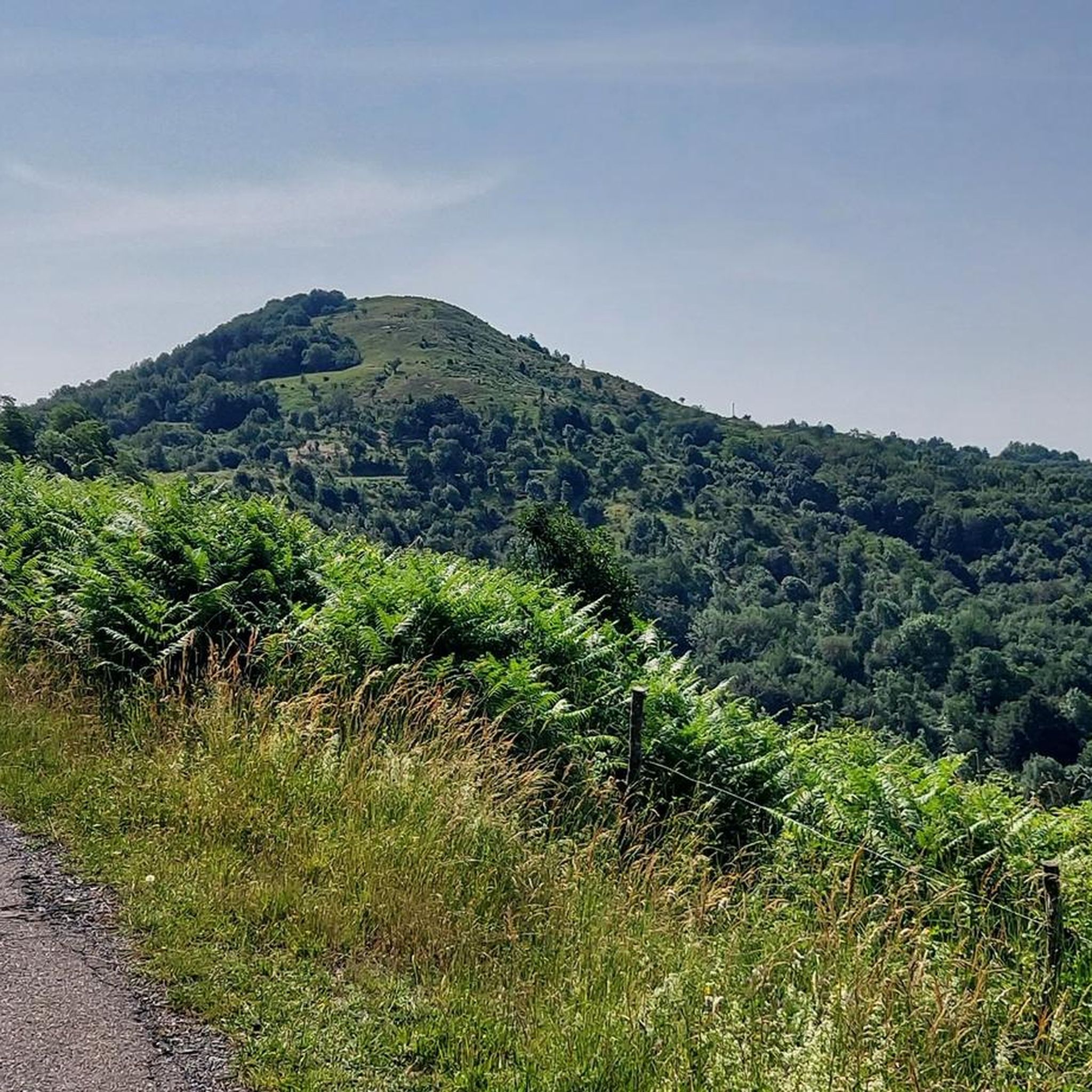
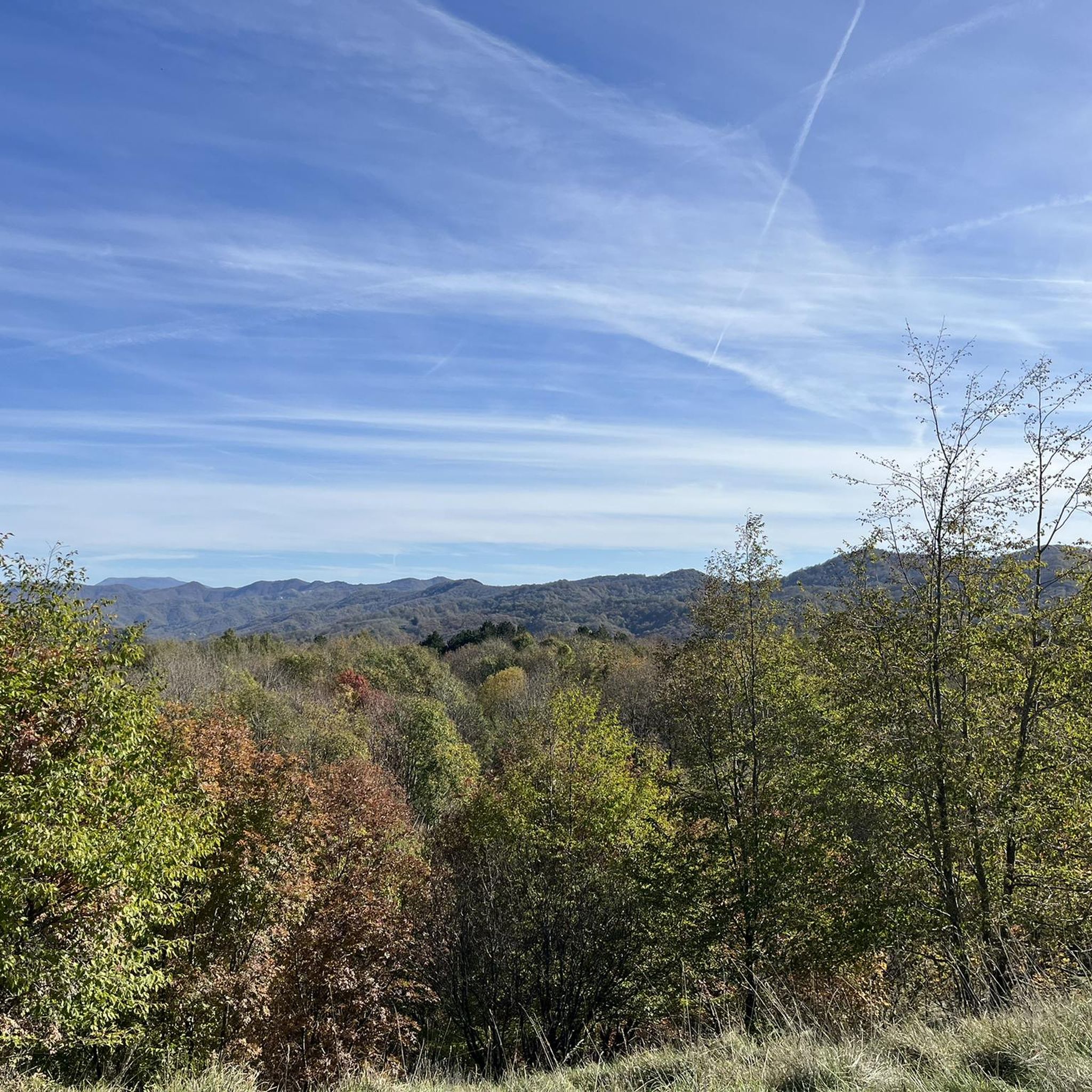
Other adventures around Torriglia

Tips from the Community

Arrived at the end of the descent from the passo della Castagnola, right at the entrance to Borgo Scrivia, you will find this Romanesque bridge.
3
0


Beautiful town kept in excellent condition.
14
0
Ecclesiastical building kept in excellent condition.
18
0
Starting point for trekking.
18
0
This is a very nice spot for taking photos.
17
0
Painting depicting a lady
17
0

beautiful place, the lake is surrounded by nature, the dam can be crossed, there are many paths nearby and with very little traffic.
0
0
Frequently Asked Questions
What types of road cycling routes can I find around Torriglia?
Torriglia, situated in the Ligurian Apennines, offers a diverse range of road cycling routes. You'll find everything from moderate rides with scenic views around Lake Brugneto to challenging routes with significant climbs through the mountainous terrain of the Antola Regional Natural Park. There are over 40 routes available, catering to various fitness levels.
Are there road cycling routes suitable for beginners or those seeking an easier ride?
Yes, while many routes in the Torriglia area are challenging, there are options for less experienced cyclists. The region offers 13 moderate routes and 2 easy routes. For example, the Panoramic route around Lake Bugneto - ring tour is a moderate 17-mile (27.3 km) path offering scenic views without extreme elevation.
What are some of the most challenging road cycling routes in the Torriglia region?
For experienced cyclists seeking a challenge, Torriglia offers 29 difficult routes. Notable challenging options include the From Torriglia to Casa del Romano – loop tour, a 29.4-mile (47.3 km) trail with significant elevation gain, and the La Bella di Torriglia – Casa del Romano loop from Torriglia, which covers 47.1 miles (75.9 km) through the Ligurian Apennines.
Can I find circular road cycling routes around Torriglia?
Yes, many of the road cycling routes around Torriglia are designed as loops, allowing you to start and finish in the same location. Examples include the From Torriglia to Casa del Romano – loop tour and the Panoramic route around Lake Bugneto - ring tour.
What scenic attractions or landmarks can I see while road cycling near Torriglia?
The Torriglia area is rich in natural beauty and historical sites. You can cycle through the stunning Val Trebbia, often called 'the most beautiful valley in the world,' with its dramatic hills and the Trebbia River. Routes also pass through the Antola Regional Natural Park, offering views of mountainous peaks like Mount Antola and the artificial Lake Brugneto. Other points of interest include the historical remains of a castle in Torriglia and the rural village of Pentema.
Are there any mountain passes to conquer on a road bike in this region?
Absolutely. The Ligurian Apennines around Torriglia feature several notable mountain passes that are popular with road cyclists. You can challenge yourself on passes such as Casa del Romano, Passo del Portello, Fregarolo Pass, and Passo Spinarola, all offering rewarding climbs and panoramic views.
What is the best time of year for road cycling in Torriglia?
The Ligurian Apennines offer varied conditions. While specific data on the best season isn't provided, the region's diverse ecosystems suggest spring and autumn would be ideal for comfortable temperatures and vibrant scenery. Summer can be warm, especially in the valleys, while winter might bring colder conditions and potential snow at higher elevations.
What do other road cyclists say about the routes around Torriglia?
The road cycling routes around Torriglia are highly regarded by the komoot community, with an average rating of 4.6 stars from over 100 reviews. Cyclists often praise the varied terrain, the stunning natural beauty of the Val Trebbia and Antola Regional Natural Park, and the challenging climbs that offer rewarding views.
Are there any specific cycling paths or routes along the Trebbia River?
Yes, the Val Trebbia is a prominent feature of the region. The Ciclovia del Trebbia is a cycling path that offers an immersive experience through lush landscapes, charming villages, and historical landmarks along the river. This path is characterized by diverse environmental settings, from urban to hilly and green areas.
Where can I find information or maps for the Antola Regional Natural Park?
Torriglia is conveniently located within the Antola Regional Natural Park. The visitor center for the park is in Torriglia itself, where you can obtain maps and detailed information for exploring the park's varied ecosystems, including its woodlands, open pastures, and mountainous peaks.
Are there any places to stop for refreshments or local food along the cycling routes?
Torriglia is known for its local gastronomic products, such as the typical canestrelli butter biscuits. While specific cafes or pubs aren't listed for every route, the presence of charming villages and Torriglia itself, as a center of the upper Trebbia Valley, suggests opportunities for refreshment stops. You can often find local eateries in the towns and villages along the routes.
What is the longest road cycling route available from Torriglia?
One of the longest routes in the area is the La Bella di Torriglia – View of Val d'Aveto loop from Torriglia, which spans 93.1 kilometers (57.9 miles) and involves significant elevation gain, typically taking around 4 hours and 36 minutes to complete.
Most popular routes around Torriglia
Most popular attractions around Torriglia

Get inspired with the komoot mobile app


Explore more
Browse the best Road cycling routes in other regions.
