The best walks and hikes around Rovegno
4.5
(1223)
4,680
hikers
217
hikes
Hiking around Rovegno offers access to the Ligurian Apennines, characterized by forested slopes, river valleys, and elevated peaks. The terrain includes a mix of well-maintained paths and more rugged mountain trails. This region provides varied elevation changes, from gentle ascents along valley floors to more challenging climbs towards summits. The landscape is primarily defined by its dense woodlands and open mountain ridges.
Best hiking trails around Rovegno
- The most popular hiking route is Giorgio Caproni Poetry Trail to Monte Gifarco…
Last updated: May 11, 2026
5.0
(9)
23
hikers
7.06km
02:48
440m
440m
Moderate hike. Good fitness required. Mostly accessible paths. Sure-footedness required.
3
hikers
12.5km
06:28
1,080m
1,080m
Hard hike. Very good fitness required. Mostly accessible paths. Sure-footedness required.

Sign up for free
1
hikers
12.0km
04:57
620m
620m
Moderate hike. Good fitness required. Mostly accessible paths. Sure-footedness required.
19.5km
08:02
1,140m
1,140m
Hard hike. Very good fitness required. Mostly accessible paths. Sure-footedness required.
11.5km
04:02
650m
650m
Moderate hike. Good fitness required. Mostly accessible paths. Sure-footedness required.
Get access to more routes and recommendations from other explorers.
Sign up for free
Already have an account?
Our route recommendations are based on thousands of hikes, rides, and runs completed by other people on komoot.
Start today with a free account
Your next adventure awaits.
Login or Signup
Tips from the Community


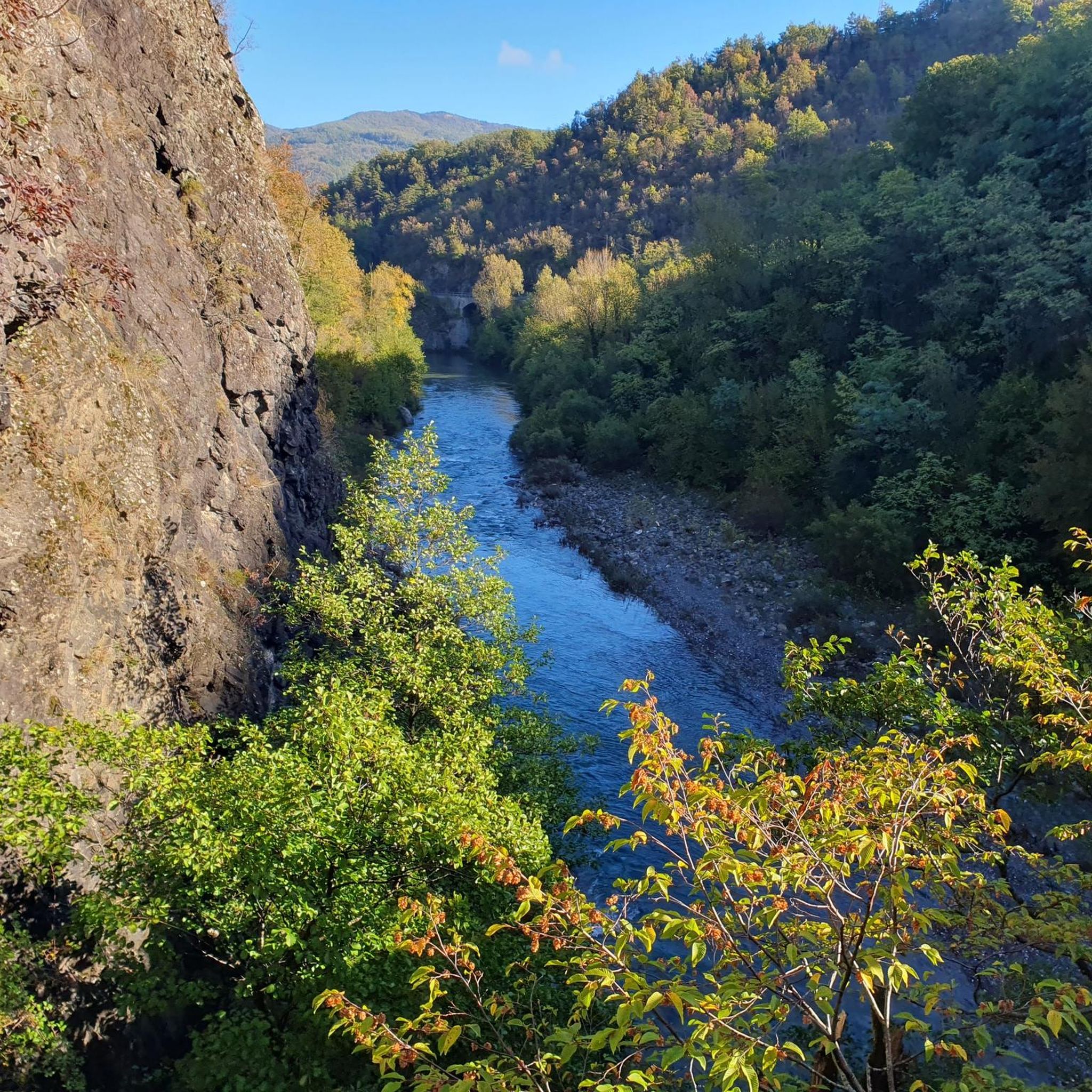
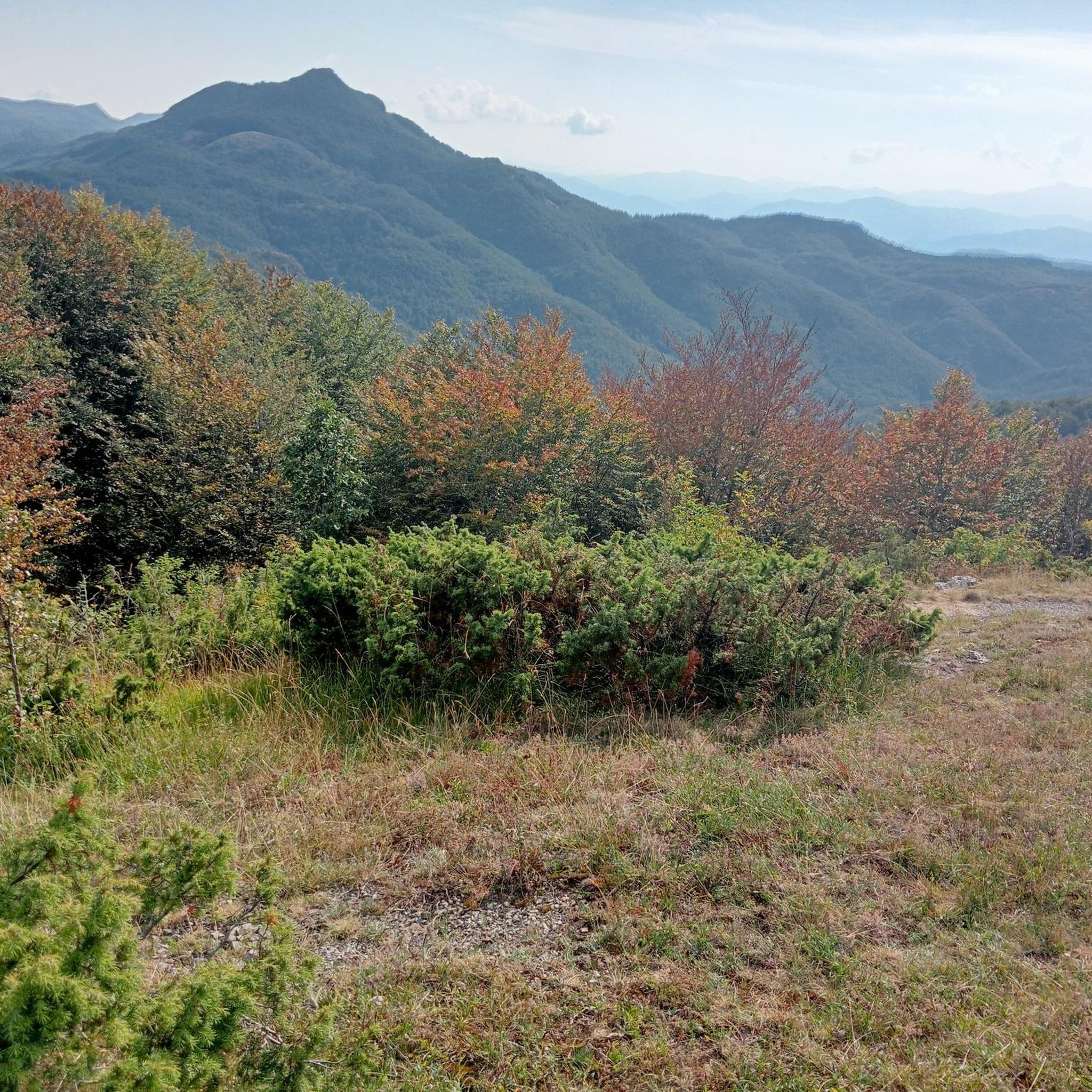
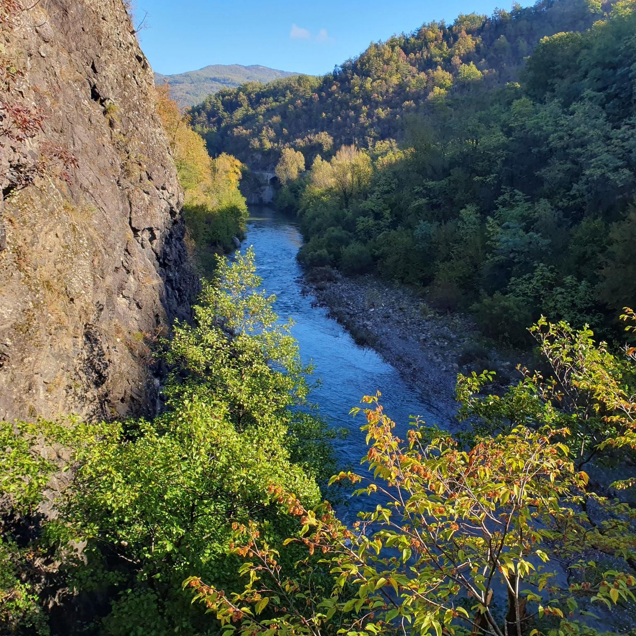
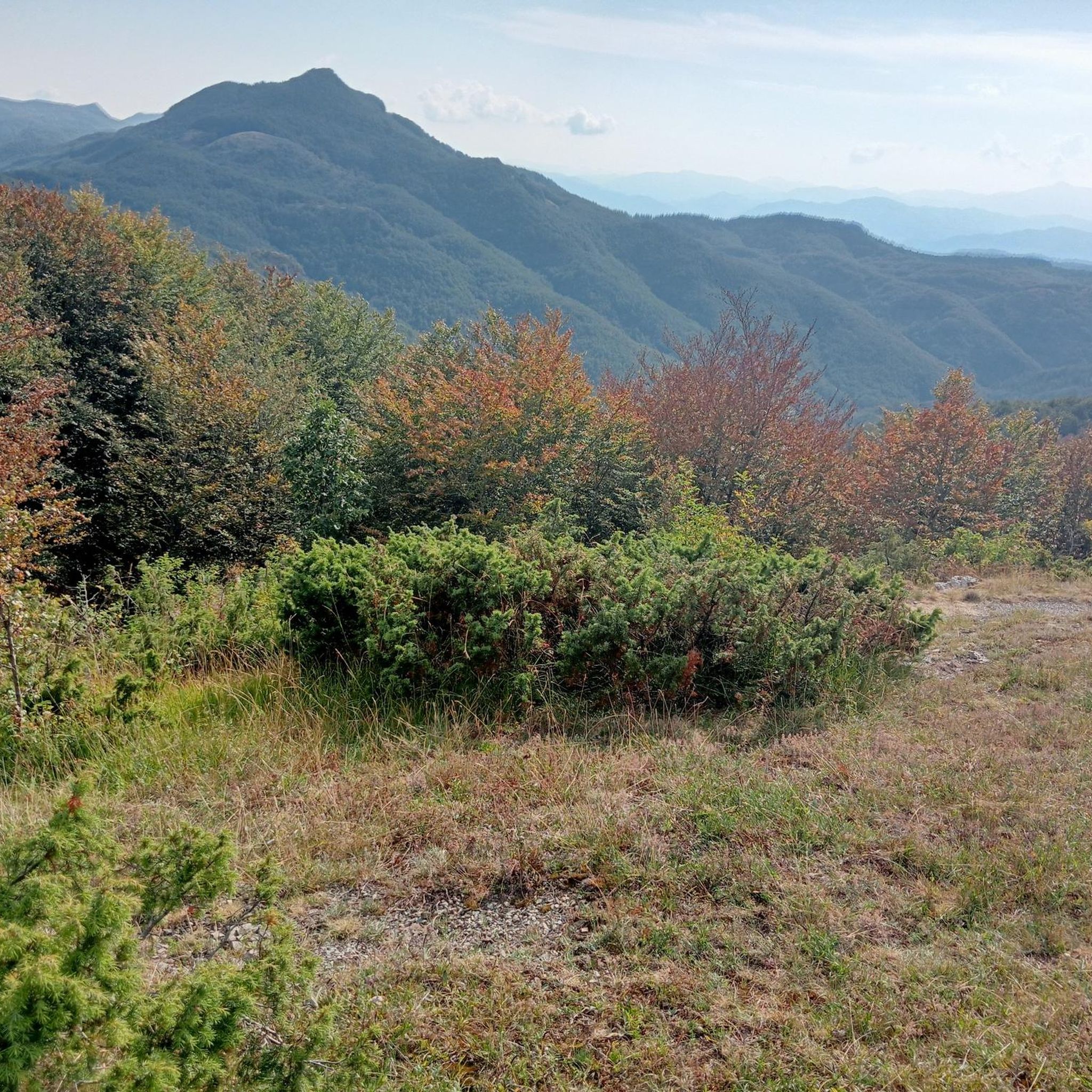
From the top a beautiful view over the Trebbia valley, Casanova and Fontanigorda. At the top the famous sword in the stone.
0
0

This curious mountain is characteristic for its isolated position. Steep to the north, with a rocky overhang to the south, it offers a pretty good aerial view from its summit. Its rock is made up of diabasic amygdala and in the most sloping part it also has a second, even more daring access route. Due to its geographical feature it was used as a lookout post by customs officers, at the time of the Fieschi, to monitor the famous Gifarco mule track, an important commercial communication route. On the northern part of the summit, in fact, excavations with the remains of ancient walls that surrounded the lookout post can be seen. With its 360-degree panorama, you immediately notice the wonderful glimpse of the Trebbia Valley where the villages of Casanova and Fontanigorda lie. Further away on the other side you can see the villages of Cassingheno, Fontanarossa, Bertazzi and Bertone dominated by Mount Antola, Costalta, Alféo and Carmo.
0
1
Frequently Asked Questions
How many hiking trails are there in Rovegno?
There are over 200 hiking routes around Rovegno, catering to various skill levels. The region features a mix of moderate forest walks and more challenging mountain ascents, with 9 easy, 144 moderate, and 64 difficult trails available.
Are there easy hikes suitable for beginners in Rovegno?
Yes, Rovegno offers several easy trails perfect for beginners. These routes typically feature gentle ascents along valley floors and through woodlands. You can find 9 easy routes in the area, providing a good starting point for exploring the Ligurian Apennines.
Are there any family-friendly hiking options in Rovegno?
Many of the moderate trails in Rovegno are suitable for families, especially those with some hiking experience. Routes that stick to lower elevations or well-maintained paths through forests are often a good choice. For example, the Giorgio Caproni Poetry Trail to Monte Gifarco is a moderate 4.4-mile trail that offers varied forest scenery.
Can I find circular walks around Rovegno?
Yes, the hiking network around Rovegno includes numerous circular walks, allowing you to start and end your journey in the same location. These routes often traverse forested slopes and open ridges, providing diverse scenery without needing to retrace your steps.
What kind of natural attractions can I see along the trails in Rovegno?
The Rovegno area is rich in natural beauty. You can discover stunning summits like Mount Antola and Monte Bue, serene bodies of water such as Lame Lake, and the picturesque Ravezza Waterfall. Many trails also offer scenic views along Lago del Brugneto.
What is the best time of year to go hiking in Rovegno?
The best time for hiking in Rovegno is typically from spring through autumn. During these seasons, the weather is generally mild, and the trails are clear. Summer offers lush greenery, while autumn brings vibrant fall colors to the forested slopes. Winter hiking is possible but may require appropriate gear for snow and ice, especially at higher elevations.
Are there any challenging hikes for experienced trekkers?
Absolutely. Rovegno offers 64 difficult trails for experienced hikers seeking a challenge. These routes often feature significant elevation changes and rugged mountain terrain, providing expansive views from higher elevations. An example is the Monte Alfeo from Gorreto via CAI 111 Trail, a difficult 7.8-mile path with substantial ascent.
What do other hikers enjoy most about hiking in Rovegno?
The hiking trails in Rovegno are highly rated by the komoot community, with an average score of 4.5 stars from over 1,100 reviews. Hikers frequently praise the diverse landscape, which includes forested mountain slopes, tranquil river valleys, and rewarding elevated ridges. The variety of routes, from moderate forest walks to challenging mountain ascents, is also a popular highlight.
Are there opportunities for wild swimming near Rovegno's hiking trails?
While specific wild swimming spots are not explicitly listed for Rovegno, the region is characterized by river valleys and lakes like Lame Lake and Lago del Brugneto. Exploring these areas might reveal suitable spots, but always exercise caution and check local regulations regarding swimming in natural waters.
How long do hikes in Rovegno typically take?
Hike durations in Rovegno vary widely depending on the trail's length and difficulty. Shorter, moderate routes like the Giorgio Caproni Poetry Trail to Monte Gifarco can take around 2 hours 47 minutes. Longer, more challenging trails, such as the Monte Montarlone Summit Cross from Casanova di Rovegno, may require closer to 5 hours to complete.
Are there any specific landmarks or points of interest to look out for?
Beyond natural features, you might encounter interesting landmarks such as the Statue of Our Lady of Guadalupe on Monte Maggiorasca or the Monte Crociglia Summit and Angel Statue. These points often offer historical or cultural significance alongside panoramic views.
What kind of terrain can I expect on Rovegno's hiking trails?
The terrain around Rovegno is diverse, ranging from well-maintained paths through dense woodlands to more rugged mountain trails. You'll experience varied elevation changes, from gentle ascents along river valleys to challenging climbs towards elevated peaks and open ridges of the Ligurian Apennines.
Most popular routes around Rovegno
Most popular attractions around Rovegno

Get inspired with the komoot mobile app


Explore more
Browse the best Hikes in other regions.
