The best road cycling routes around Valbrevenna
4.3
(144)
2,435
riders
92
rides
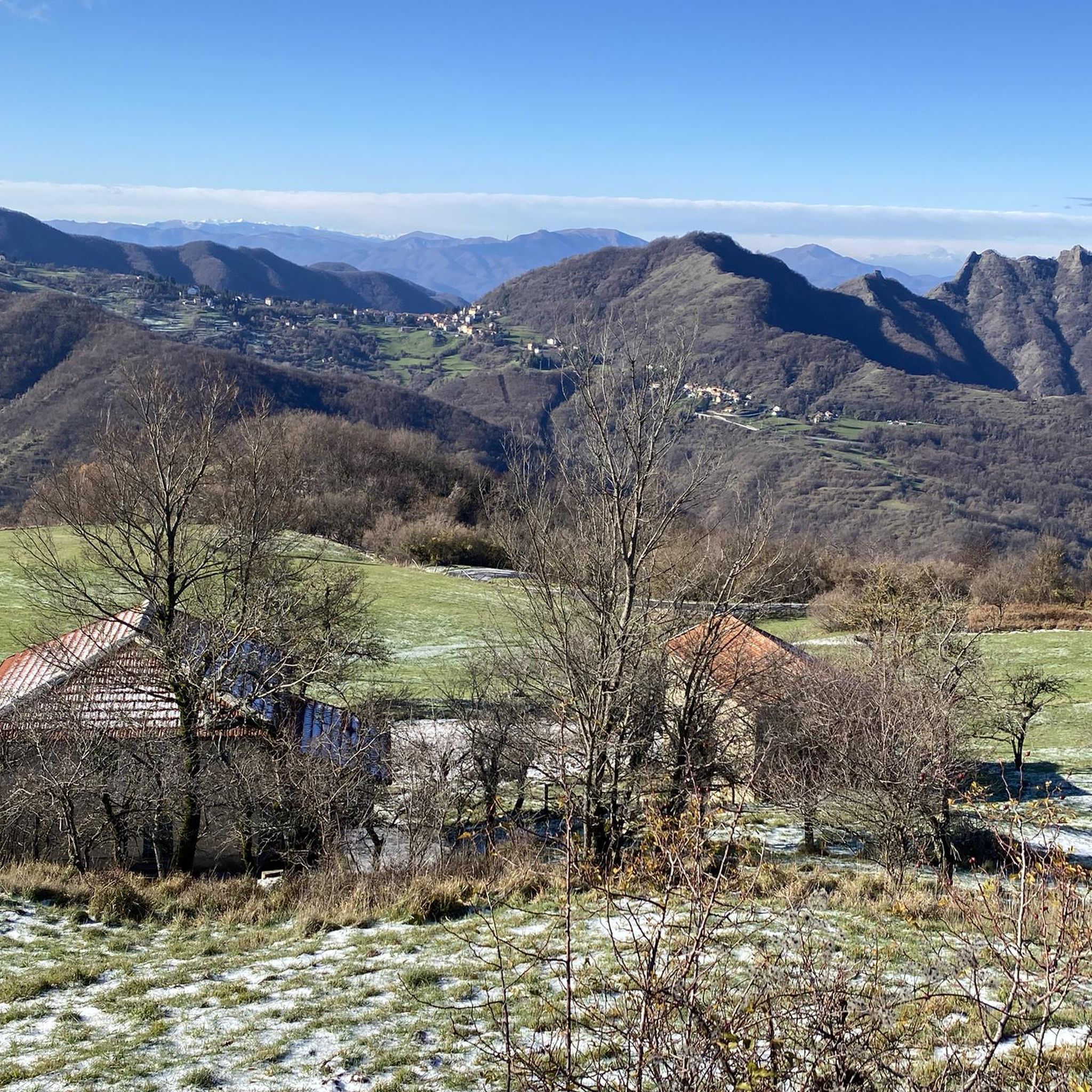
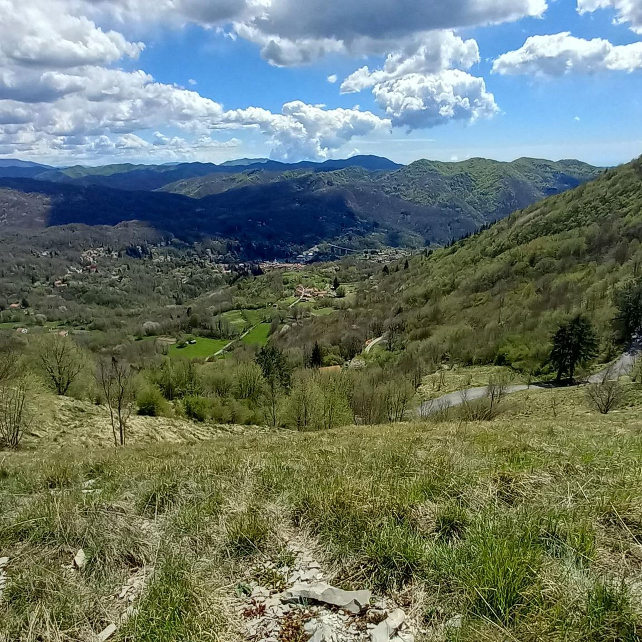
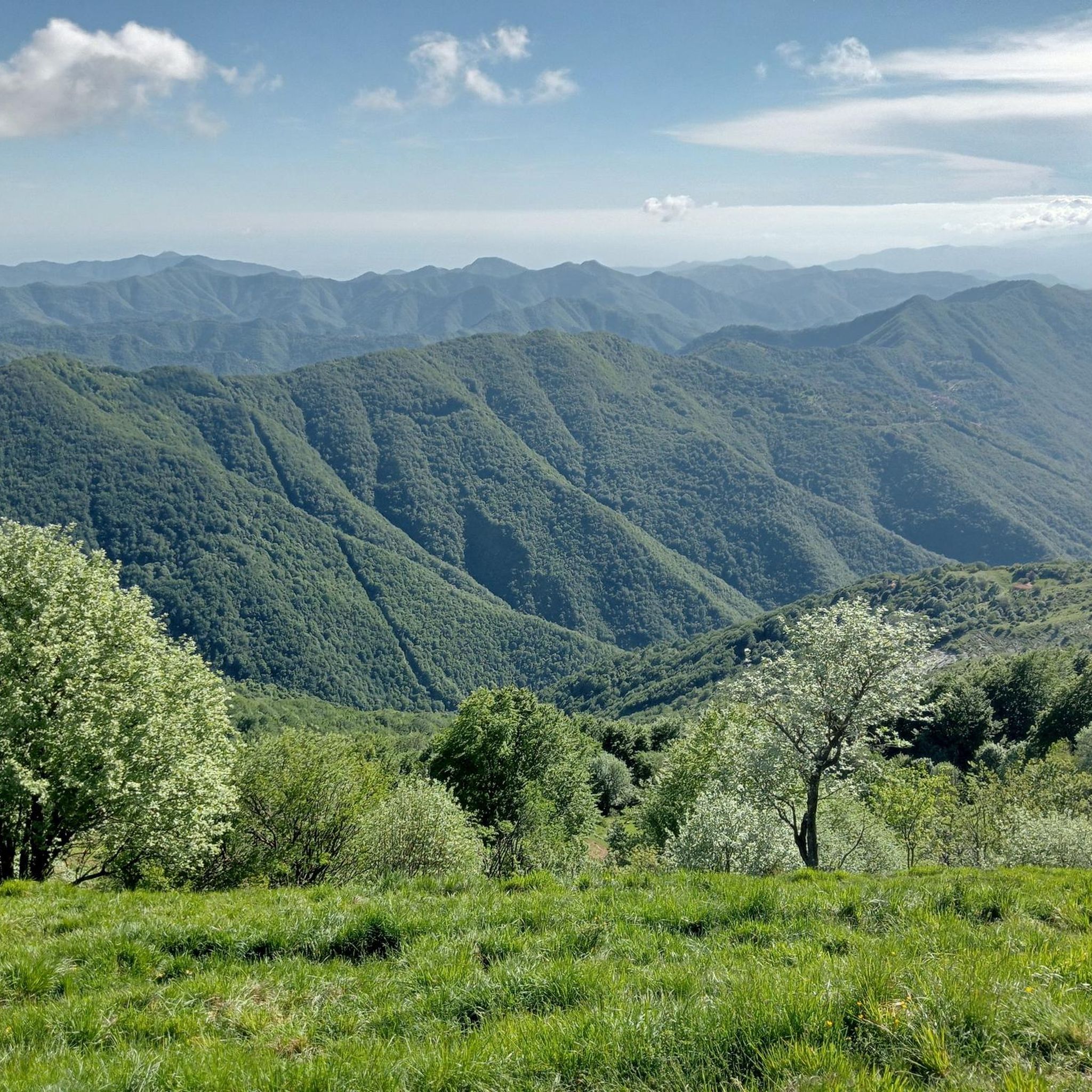
Road cycling routes around Valbrevenna traverse the Ligurian Apennines, offering diverse landscapes within the Antola Regional Natural Park. The region features mountainous peaks, panoramic valleys, and flowing streams, characterized by extensive woodlands and open pastures. Cyclists encounter significant elevation gains, with routes often leading through varied gradients and well-paved surfaces.
Best road cycling routes around Valbrevenna
- The most popular road cycling route is From Casella to Torriglia along the Scrivia stream, a 26.3 miles (42.4 km) trail that takes…
Last updated: July 8, 2026
5.0
(3)
50
riders
42.4km
02:02
560m
560m
Moderate road ride. Good fitness required. Mostly well-paved surfaces and easy to ride.
5.0
(4)
21
riders
47.3km
03:01
1,420m
1,420m
Hard road ride. Very good fitness required. Mostly well-paved surfaces and easy to ride.

Sign up for free
3
riders
30.5km
02:01
990m
990m
This difficult 19.0-mile (30.5 km) road cycling loop from Vobbia climbs 3233 feet (985 metres) to Passo dell'Incisa in 2 hours.
4.8
(12)
146
riders
94.2km
04:20
1,070m
1,070m
Hard road ride. Very good fitness required. Mostly well-paved surfaces and easy to ride.
5.0
(17)
171
riders
74.6km
03:13
650m
650m
Moderate road ride. Good fitness required. Mostly well-paved surfaces and easy to ride.
Get access to more routes and recommendations from other explorers.
Sign up for free
Already have an account?
Our route recommendations are based on thousands of hikes, rides, and runs completed by other people on komoot.
Start today with a free account
Your next adventure awaits.
Login or Signup
Tips from the Community

Arrived at the end of the descent from the passo della Castagnola, right at the entrance to Borgo Scrivia, you will find this Romanesque bridge.
3
0

I arrived in a camper and found a spot easily in the large lot next to the bridge. In town, I also stocked up on groceries at the small butcher's shop just as you enter the village... the owner was very friendly and the shop was well-stocked!
0
0

Beautiful town kept in excellent condition.
14
0
Ecclesiastical building kept in excellent condition.
18
0
Starting point for trekking.
18
0
This is a very nice spot for taking photos.
17
0

Beautiful roads that run along the canyon walls
2
0
Beautiful canyon with plenty of opportunities to get to the river and cool your feet.
2
0
Frequently Asked Questions
How many road cycling routes are available in Valbrevenna?
Valbrevenna offers a wide selection of road cycling routes, with over 80 options recorded on komoot. These routes cater to various skill levels, including 6 easy, 31 moderate, and 44 difficult trails, ensuring there's a suitable ride for every cyclist.
What kind of terrain can I expect on road cycling routes in Valbrevenna?
Road cycling in Valbrevenna, nestled in the Ligurian Apennines and within the Antola Regional Natural Park, features diverse terrain. You'll encounter mountainous peaks, panoramic valleys, and flowing streams. Routes often traverse extensive chestnut, oak, and beech woodlands, transitioning into open pastures and rocky ridges. Expect significant elevation gains and mostly well-paved surfaces, providing both challenge and scenic rewards.
Are there challenging climbs for experienced road cyclists in Valbrevenna?
Yes, Valbrevenna is known for its challenging climbs. The region offers routes with substantial elevation gain, such as the ascent to Mount Antola or passes like Passo della Scoglina. For a demanding ride, consider the View of Genoa – Passo del Portello loop from Casella Deposito, which features over 2,400 meters of elevation gain.
What natural features and viewpoints can I discover along the road cycling routes?
Road cycling routes in Valbrevenna offer stunning natural features and viewpoints. You can enjoy panoramic views from Mount Antola, stretching from the Mediterranean Sea to the Alps on clear days. The unspoiled nature around Lake Brugneto provides picturesque scenery. Many routes also offer views of the Borbera Stream Canyon, as seen on the View of the Borbera Stream – The Borbera Stream Canyon loop from Casella Paese.
Are there any historical landmarks or villages to explore while cycling?
Absolutely. Cycling through Valbrevenna allows you to discover picturesque medieval hamlets like Senarega, Pentema, and Frassinello. Routes often pass by historical sites such as ancient mills, the ruins of castles (like Castello della Pietra), and charming churches. For example, the Palazzo Fieschi, Casella – Crocefieschi Village loop from Casella Paese takes you through historic areas.
What do other road cyclists enjoy most about road cycling in Valbrevenna?
The area is highly rated by the komoot community, with an average score of 4.5 stars from over 150 reviews. Cyclists often praise the combination of challenging climbs, scenic routes around natural features like Lake Brugneto, and rides through historically rich medieval villages. The diverse natural settings and well-paved roads provide an engaging and rewarding experience.
Are there any specific mountain passes I can cycle to in Valbrevenna?
Yes, Valbrevenna is home to several notable mountain passes that are popular with road cyclists. These include Casa del Romano, Passo del Portello, and Passo della Scoffera. The Passo della Bocchetta (772 m) – Climb to Passo della Bocchetta loop from Casella Paese is another popular route for tackling a significant pass.
What is the best time of year for road cycling in Valbrevenna?
Given the mountainous terrain and diverse landscapes, spring and autumn are generally the most favorable seasons for road cycling in Valbrevenna. During these periods, temperatures are milder, and the natural scenery is particularly vibrant, making for comfortable and picturesque rides. Summer can also be suitable, especially at higher elevations, but be prepared for warmer conditions in the valleys.
Are there any circular road cycling routes in the area?
Yes, many of the road cycling routes in Valbrevenna are designed as loops, allowing you to start and finish in the same location. Examples include the View of the Borbera Stream – The Borbera Stream Canyon loop from Casella Paese and the Passo della Bocchetta (772 m) – Climb to Passo della Bocchetta loop from Casella Paese, offering convenient circular journeys.
Can I find accommodation or places to eat along the cycling routes?
While specific cafes and pubs are not detailed for every route, the region's charming medieval villages and proximity to towns like Casella often provide opportunities for refreshment and accommodation. You may find huts and refuges, such as Fishermen's Cabin at Lago del Brugneto or Rifugio Lorre Bodrato, which can serve as stops or overnight stays.
What is a good moderate road cycling route in Valbrevenna?
For a moderate road cycling experience, the From Casella to Torriglia along the Scrivia stream is an excellent choice. This 42.4 km (26.3 miles) route follows the scenic Scrivia stream, offering a pleasant ride with manageable elevation changes, typically completed in about 2 hours.
Most popular routes around Valbrevenna
Most popular attractions around Valbrevenna

Get inspired with the komoot mobile app


Explore more
Browse the best Road cycling routes in other regions.
