The best running trails around Ceranesi
4.2
(247)
7,141
runners
258
runs
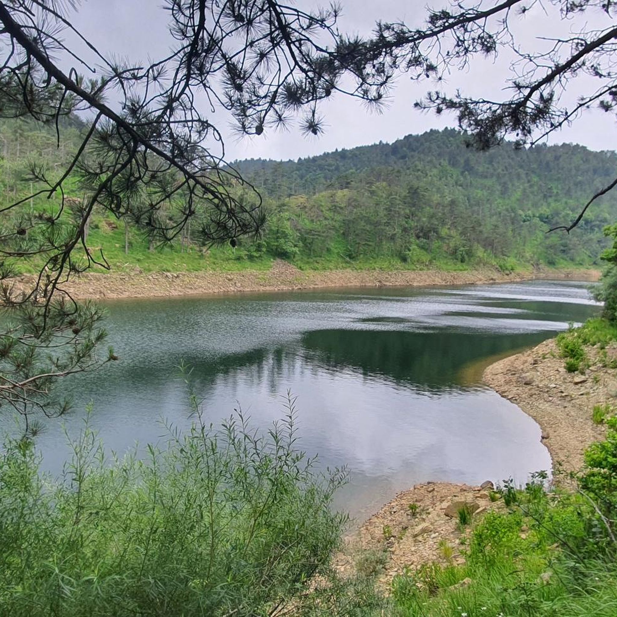
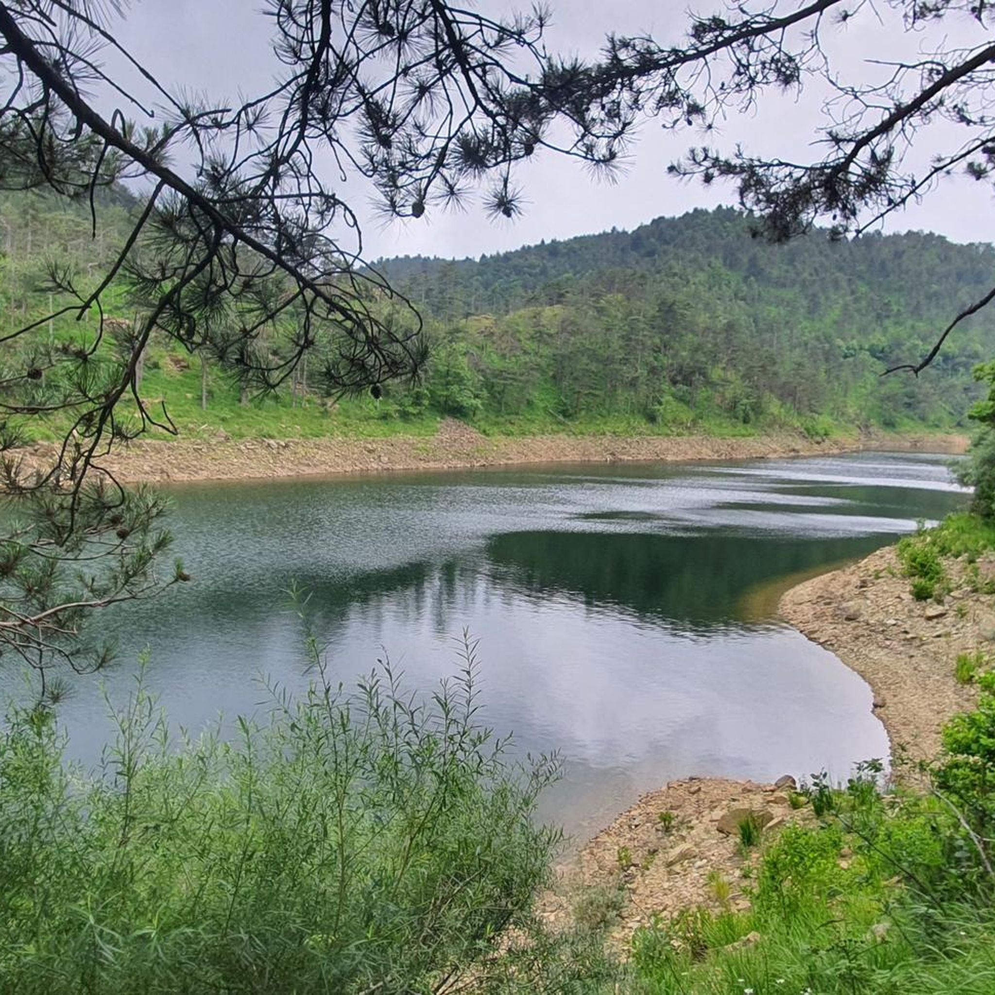
Jogging around Ceranesi offers diverse natural features and varied terrain, situated in Liguria, Italy. The region is characterized by its mountainous embrace, providing a network of trails suitable for different fitness levels. These routes include mountain trails and historical paths that wind through the village and its ancient architecture. The area's proximity to the sea of Genoa also contributes to a variety of landscapes for running.
Best jogging routes around Ceranesi
- The most popular jogging route is Running loop from…
Last updated: August 11, 2026
41
runners
13.9km
01:43
270m
270m
Hard run. Good fitness required. Sure-footedness, sturdy shoes and alpine experience required.
17
runners
8.96km
00:58
130m
120m
Moderate run. Good fitness required. Mostly paved surfaces. Suitable for all skill levels.

Sign up for free
3.0
(2)
9
runners
8.52km
00:57
210m
210m
Moderate run. Good fitness required. Mostly paved surfaces. Suitable for all skill levels.
12
runners
13.4km
01:29
270m
270m
Moderate run. Good fitness required. Mostly paved surfaces. Suitable for all skill levels.
4.0
(1)
9
runners
4.93km
00:33
130m
130m
Moderate run. Good fitness required. Mostly paved surfaces. Suitable for all skill levels.
Get access to more routes and recommendations from other explorers.
Sign up for free
Already have an account?
Our route recommendations are based on thousands of hikes, rides, and runs completed by other people on komoot.
Start today with a free account
Your next adventure awaits.
Login or Signup
Tips from the Community

My first 1001 meters...
0
0

Lots of traffic but take the time to look at this great building great craftsmanship
1
0

The Punta with its cross culminates at 1001 m in height, offering a spectacular panorama of the Ligurian Apennines and the coast.
3
0

It is the connection point between the hiking trails for Piani di Praglia, for San Carlo di Cese, for Monte Penello and Punta Martin, and for Passo del Turchino. It is located along the 22nd stage of the Alta Via dei Monti Liguri (Turchino–Praglia).
0
0

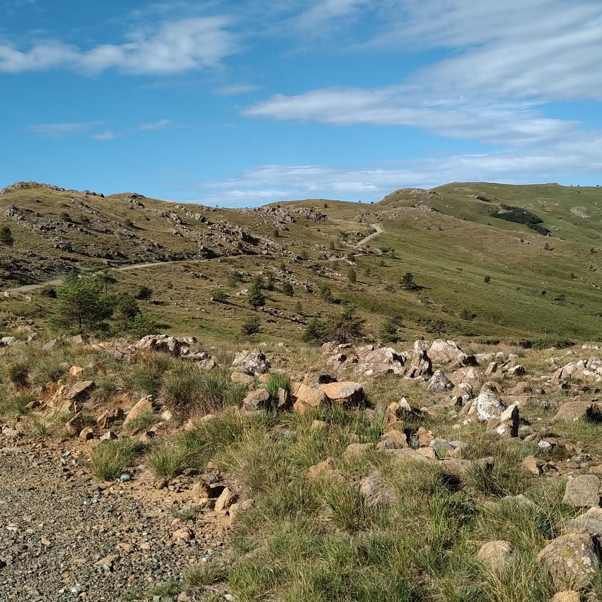
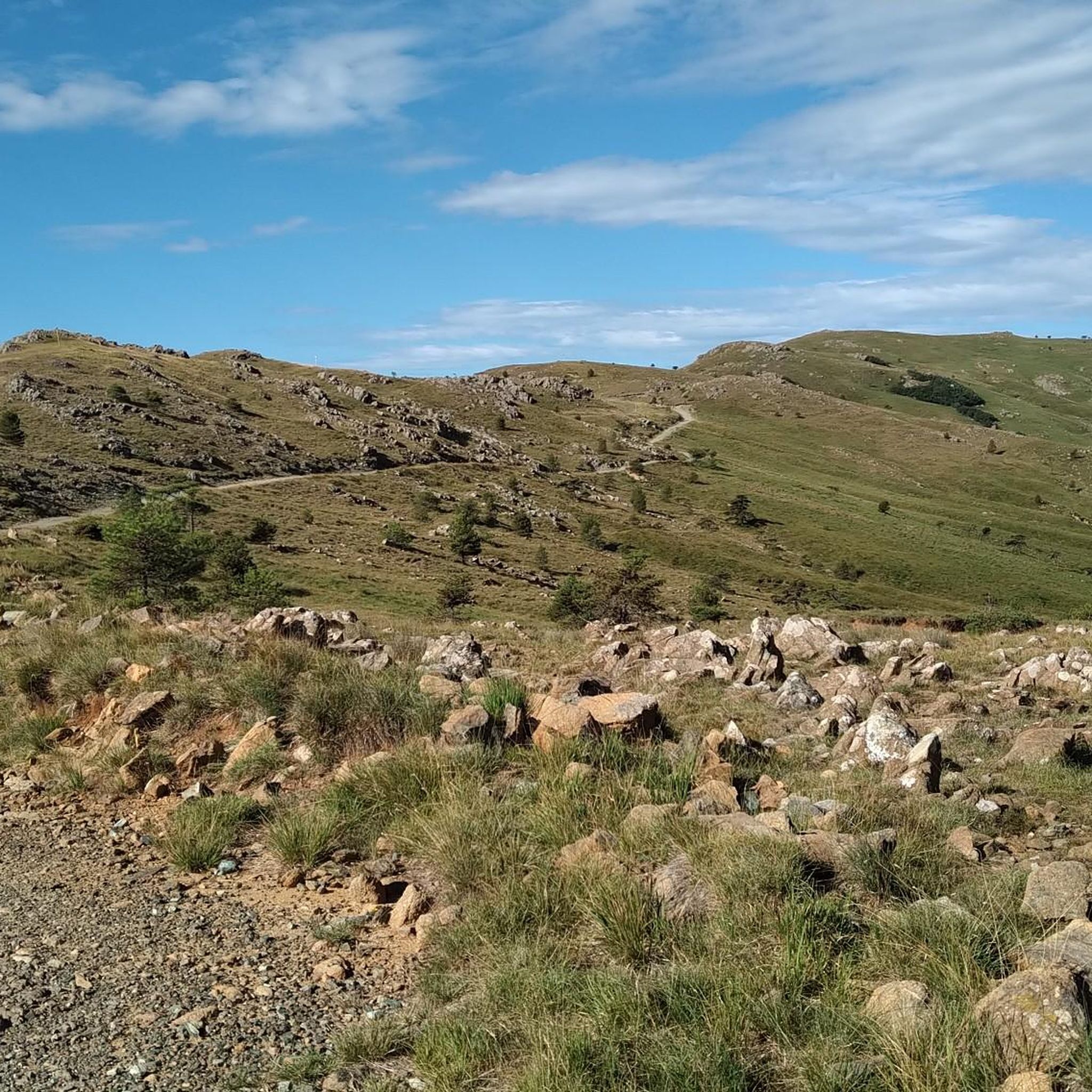
Colle Gandolfi (936 meters above sea level) wide view of the Gulf of Genoa and crossroads of paths to and from Monte Pennello, Punta Martin, Colle del Veleno
0
0

Piano Gandolfi is a grassy and hilly plateau from which you have a splendid view of the Gulf of Genoa.
3
0

From the grassy, hilly Piano Gandolfi plateau you have a great view of the Gulf of Genoa. From Colle Gandolfi (936 meters) you can make a detour to the top of Monte Penello (995 meters), where you have a great view over the landscape between the mountains and the coast of Genoa.
0
0

fantastic panorama. bike on your shoulder for the last stretch
0
0
Frequently Asked Questions
How many running trails are available in Ceranesi?
Ceranesi offers a wide variety of running routes, with over 190 trails available for exploration. These range from easy paths to more challenging mountain runs, catering to all fitness levels.
What kind of terrain can I expect on running routes in Ceranesi?
The running routes in Ceranesi feature diverse terrain, from mountain trails with significant elevation changes to historical paths winding through the village. The region is embraced by mountains, offering breathtaking landscapes and pristine nature, with some routes providing views hinting at the nearby Ligurian coastline.
Are there running routes suitable for beginners or those looking for an easy jog?
Yes, Ceranesi has several running routes suitable for beginners. While many routes are moderate to difficult, there are at least 9 easy routes available. These paths offer a gentler experience for those new to running or looking for a less strenuous jog.
Can I find challenging trail running options in Ceranesi?
Absolutely. Ceranesi is a paradise for trail runners seeking a challenge, with 96 routes rated as difficult. These mountain trails often feature significant elevation gains, such as the Punta del Corno – Monte Penello loop from San Carlo di Cese 3, which covers 9.7 km with over 700 meters of ascent, providing a strenuous workout amidst stunning scenery.
Are there any circular running routes in Ceranesi?
Yes, many running routes in Ceranesi are circular, allowing you to start and finish at the same point. A popular option is the Running loop from Manesseno, a moderate 8.9 km trail that takes about an hour to complete. Another great choice is the Running loop from Genova San Biagio, which is 13.5 km long and offers an extended running experience.
What are some scenic spots or landmarks I can see while jogging in Ceranesi?
Many running routes in Ceranesi pass by significant landmarks and offer scenic views. You might encounter historical sites or natural features. For instance, the area around the Sanctuary of Our Lady of the Guard on Monte Figogna offers panoramic views. Other notable points of interest include Forte Diamante and various mountain summits like Monte Figne.
Are there family-friendly jogging routes in Ceranesi?
While the guide doesn't explicitly list 'family-friendly' routes, the presence of 9 easy routes suggests options suitable for families with children or those looking for a relaxed pace. These routes typically have less elevation gain and shorter distances, making them more accessible for a family outing.
Are dogs allowed on the running trails in Ceranesi?
Generally, dogs are welcome on many outdoor trails in Italy, especially in natural areas. However, it's always advisable to keep your dog on a leash, especially in more populated areas or near wildlife, and to check for specific local regulations or signage on individual trails.
How can I get to the running trails in Ceranesi using public transport?
Ceranesi is accessible by public transport, though specific routes to trailheads may vary. Many routes, like the Running loop from Genova San Biagio, start from towns that are typically served by local buses. We recommend checking local bus schedules for the most up-to-date information on reaching specific starting points.
What do other runners enjoy the most about jogging in Ceranesi?
The running routes in Ceranesi are highly rated by the komoot community, with an average score of 4.3 stars from over 180 reviews. Runners often praise the diverse landscapes, from challenging mountain trails to historical paths, and the opportunity to experience pristine nature and breathtaking views. The variety of routes ensures there's something for every ability level.
What is the best time of year for running in Ceranesi?
The best time for running in Ceranesi generally depends on personal preference and the specific route. Spring and autumn offer pleasant temperatures and vibrant scenery, ideal for most trails. Summer can be warm, especially at lower elevations, making early morning or late afternoon runs preferable. Winter running is possible, particularly on lower trails, but higher mountain routes may require appropriate gear due to colder conditions or snow.
Are there running routes in Ceranesi with parking available?
Many running routes in Ceranesi start from villages or accessible points where parking is typically available. For example, routes like the Running loop from Campomorone or those starting from Manesseno usually have nearby parking options. It's always a good idea to check the specific starting point of your chosen route for detailed parking information.
Most popular attractions around Ceranesi

Get inspired with the komoot mobile app


Explore more
Browse the best Running Trails & Routes in other regions.
