The best walks and hikes around Gualdo Tadino
4.3
(654)
1,261
hikers
73
hikes
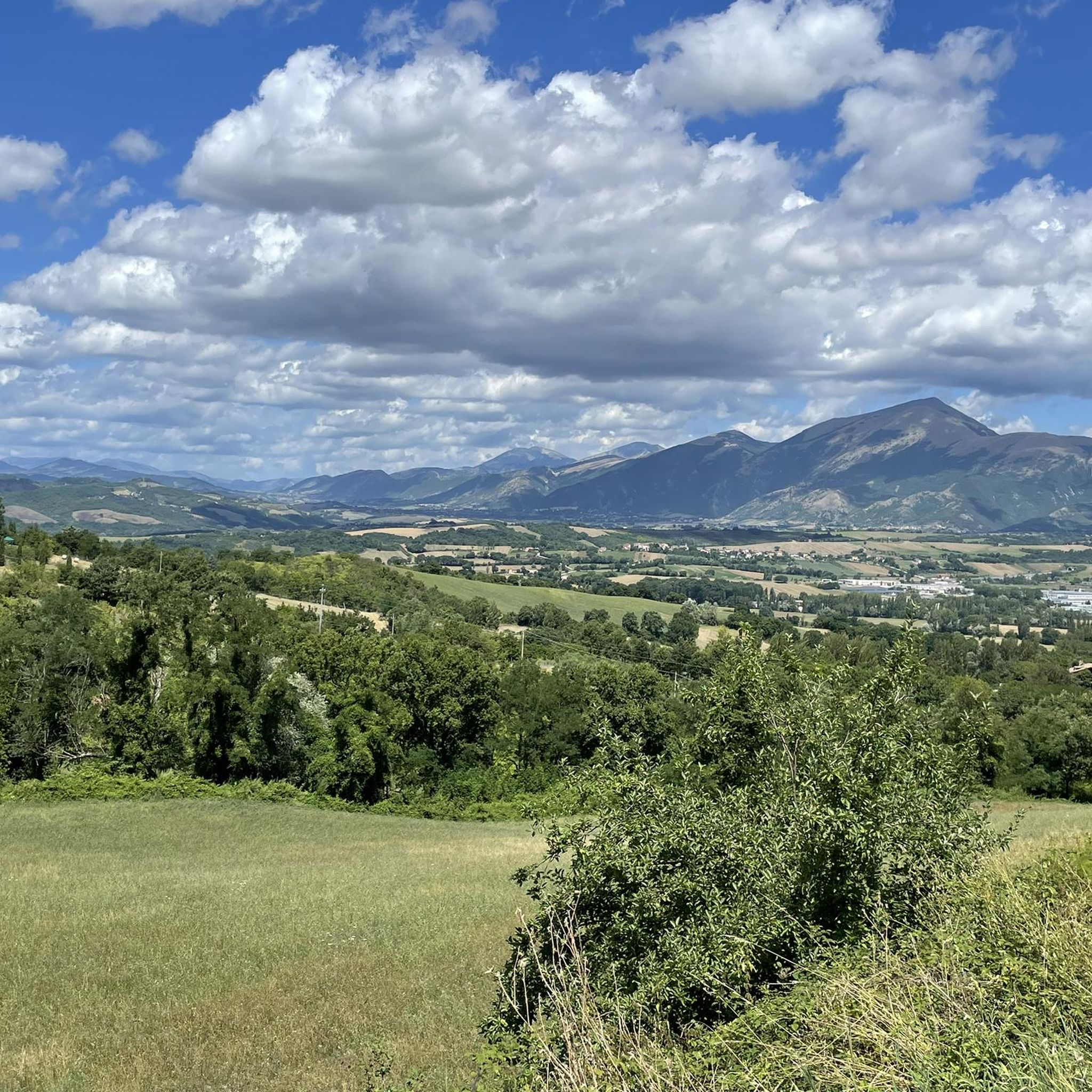
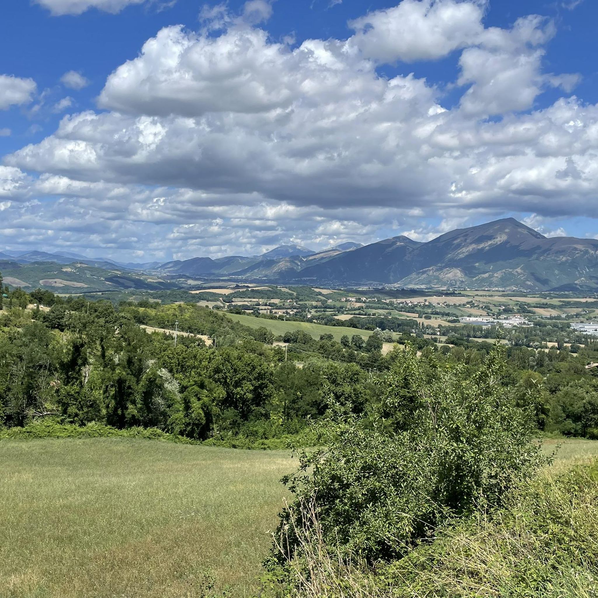
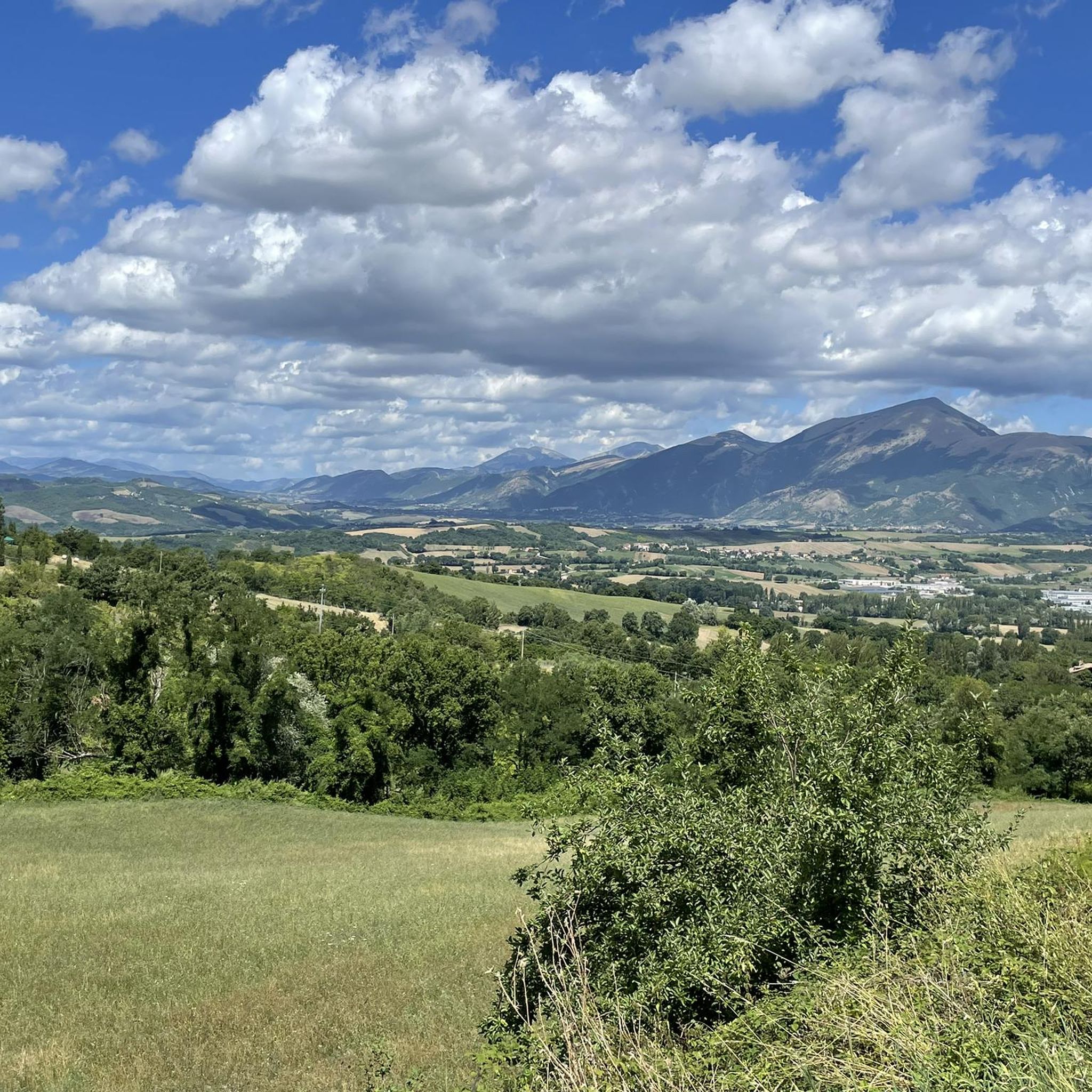
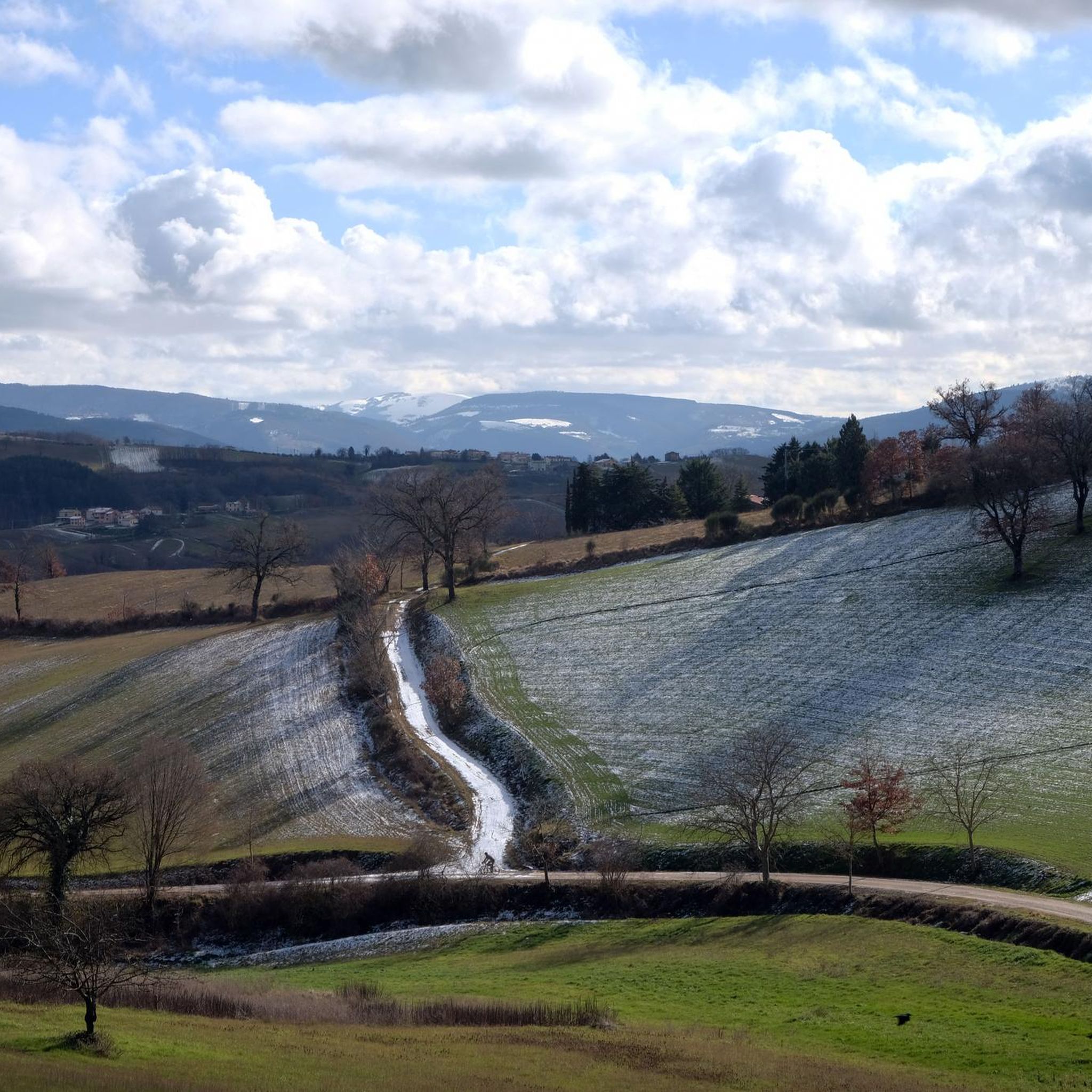
Hiking around Gualdo Tadino offers diverse landscapes within the Apennine Mountains of Umbria, Italy. The region features rugged peaks like Monte Penna and Monte Serrasanta, providing extensive panoramic views. Hikers can explore varied terrain, including dense beech and chestnut forests, the green Valsorda Valley with its karstic lakes, and numerous natural springs. This area provides a network of well-maintained trails suitable for various outdoor activities.
Best hiking trails in Gualdo Tadino
- The most popular hiking route is Razzipante Trail,…
Last updated: July 7, 2026
4.5
(4)
8
hikers
11.7km
04:46
780m
780m
Moderate hike. Good fitness required. Mostly accessible paths. Sure-footedness required.
4.7
(29)
77
hikers
10.6km
03:16
400m
400m
Moderate hike. Good fitness required. Easily-accessible paths. Suitable for all skill levels.

Sign up for free
4.3
(4)
32
hikers
19.5km
07:02
1,100m
1,100m
Hard hike. Very good fitness required. Mostly accessible paths. Sure-footedness required.
4.0
(86)
38
hikers
8.74km
02:56
440m
440m
Moderate hike. Good fitness required. Easily-accessible paths. Suitable for all skill levels.
4.3
(16)
26
hikers
4.49km
02:02
320m
320m
Moderate hike. Good fitness required. Mostly accessible paths. Sure-footedness required.
Get access to more routes and recommendations from other explorers.
Sign up for free
Already have an account?
Our route recommendations are based on thousands of hikes, rides, and runs completed by other people on komoot.
Start today with a free account
Your next adventure awaits.
Login or Signup


Other adventures around Gualdo Tadino

Tips from the Community

One of the examples of fortified Italian architecture from the late Middle Ages.[2] The fortress was built by incorporating an ancient place of worship dedicated to Saint Michael the Archangel, founded in the Lombard era (8th-9th centuries), called Sant'Angelo di Flea. The Rocca Flea is home to the Gualdo Tadino Civic Museum, which houses the local antiquarium, and its rooms display examples of historic Gualdo Tadino ceramics.
0
0

The restaurant ‘Da Clelia’ is also here.
0
0


View of Eremo di Serrasanta from the Serrasanta Cima Nord (1421 meters - 2 meters lower than the southern summit on which the santuario stands)
0
0
Very steep section leading straight to the top & the santuario. The path is almost invisible at first (start straight up from the signage, head towards the lone tree half way up and trust Komoot to mark the path exactly, after 50-100 meters you will find yourself on the right path). You walk here on the crest of the mountain, so it can be windy and get cold quickly.
0
0
Very steep section leading straight to the top & the santuario. The path is almost invisible at first (start straight up from the signage, head towards the lone tree half way up and trust Komoot to mark the path exactly, after 50-100 meters you will find yourself on the right path). You walk here on the crest of the mountain, so it can be windy and get cold quickly.
0
0
Frequently Asked Questions
How many hiking trails are available in Gualdo Tadino?
Gualdo Tadino offers a wide selection of hiking opportunities, with over 60 trails to explore. These routes cater to various skill levels, from easy strolls to challenging treks through the Apennine Mountains.
What kind of terrain and landscapes can I expect on hikes around Gualdo Tadino?
Hikers in Gualdo Tadino will encounter diverse terrain, including rugged Apennine peaks like Monte Penna and Monte Serrasanta, dense beech and chestnut forests, and the picturesque Valsorda Valley with its karstic lakes. The area is also dotted with refreshing natural springs and offers panoramic views that can extend to the Adriatic Sea on clear days.
Are there easy hiking trails suitable for families or beginners?
Yes, Gualdo Tadino has 20 easy hiking trails that are perfect for families or those seeking a more relaxed experience. These accessible paths often traverse through charming woodlands and offer gentle gradients, allowing everyone to enjoy the natural beauty of the region.
Are there any challenging routes for experienced hikers in Gualdo Tadino?
For experienced hikers, Gualdo Tadino offers 9 difficult routes that require good fitness and can involve significant elevation gain. An example is the Monte Serrasanta – Serrasanta Hermitage loop from Gualdo Tadino, a 10.3-mile (16.6 km) trail leading through the Apennine foothills with over 1000 meters of ascent.
Can I find circular hiking routes in Gualdo Tadino?
Yes, many of the trails in Gualdo Tadino are designed as circular routes, allowing you to start and end at the same point. Popular options include various loops around Monte Serrasanta and the Monte Maggio Summit loop from Valsorda, which offers stunning views.
What are some notable natural features or landmarks to see while hiking?
While hiking, you can discover several natural features and historical landmarks. The Valsorda Valley is home to two unique karstic lakes, and natural springs like Rocchetta are ideal for a break. You might also encounter striking gorges such as Gorghe Gorge or Fosso Cavaliero Gorge and Stone Arch. Historical sites like the Serrasanta Hermitage and Rocca Flea are also integrated into many routes.
What do other hikers enjoy most about hiking in Gualdo Tadino?
The hiking trails in Gualdo Tadino are highly rated by the komoot community, with an average score of 4.3 stars from over 500 reviews. Hikers often praise the well-maintained paths, the breathtaking panoramic views from peaks like Monte Penna, and the serene beauty of the diverse forests and valleys.
Are there any specific attractions or points of interest near the hiking trails?
Beyond the trails themselves, the region offers several points of interest. You can visit historical sites like the Valfabbrica Historic Center or explore castles such as Biscina Castle. For natural beauty, consider visiting Monte Giuoco del Pallone (1,228 m) or the Mount Cafaggio Summit for expansive views.
Is Gualdo Tadino suitable for dog-friendly hikes?
Many trails in Gualdo Tadino are suitable for hiking with dogs, offering plenty of natural spaces for them to enjoy. It's always recommended to keep dogs on a leash, especially in areas with wildlife or near livestock, and to carry water for both yourself and your pet.
When is the best time of year to go hiking in Gualdo Tadino?
The spring and early summer (April to June) are particularly beautiful, with vibrant wildflowers, including wild orchids and daffodils, blooming across the meadows. Autumn (September to October) also offers pleasant temperatures and stunning fall foliage. While winter hiking is possible, be prepared for colder conditions and potential snow at higher elevations.
Are there options for parking near the trailheads in Gualdo Tadino?
Yes, many popular trailheads and starting points, especially in areas like Valsorda or near Gualdo Tadino itself, offer designated parking areas. For example, the Monte Cucco Parking Area provides access to trails in the nearby regional park.
Can I reach hiking areas in Gualdo Tadino using public transport?
While Gualdo Tadino is accessible by public transport, reaching specific trailheads within the Apennine mountains can be more challenging without a car. It's advisable to check local bus schedules for connections to smaller villages or starting points, but for ultimate flexibility, a personal vehicle is often recommended.
Most popular routes around Gualdo Tadino
Most popular attractions around Gualdo Tadino

Get inspired with the komoot mobile app


Explore more
Browse the best Hikes in other regions.
