The best mountain hikes around Arquata Del Tronto
4.8
(5)
30
hikers
3
hikes
Mountaineering around Arquata Del Tronto offers challenging routes through the rugged terrain of the Sibillini Mountains. The region is characterized by prominent peaks like Monte Vettore, deep valleys, and high-altitude landscapes. These routes often feature significant elevation gains and rocky paths, providing a true mountain experience. The area's geology contributes to varied and demanding ascents suitable for experienced mountaineers.
Best mountaineering routes around Arquata Del Tronto
- The most popular mountaineering route is Monte Vettore loop from Rifugio mezzi litri,…
Last updated: July 8, 2026
4.5
(2)
18
hikers
15.1km
07:44
1,170m
1,170m
Hard mountaineering route. Very good fitness required. Sure-footedness, sturdy shoes and alpine experience required.
5.0
(3)
11
hikers
10.5km
04:24
560m
560m
Hard mountaineering route. Good fitness required. Sure-footedness, sturdy shoes and alpine experience required.

Sign up for free
1
hikers
Moderate mountaineering route. Good fitness required. Easily-accessible paths. Suitable for all skill levels.
Our route recommendations are based on thousands of hikes, rides, and runs completed by other people on komoot.
Start today with a free account
Your next adventure awaits.
Login or Signup
Popular around Arquata Del Tronto
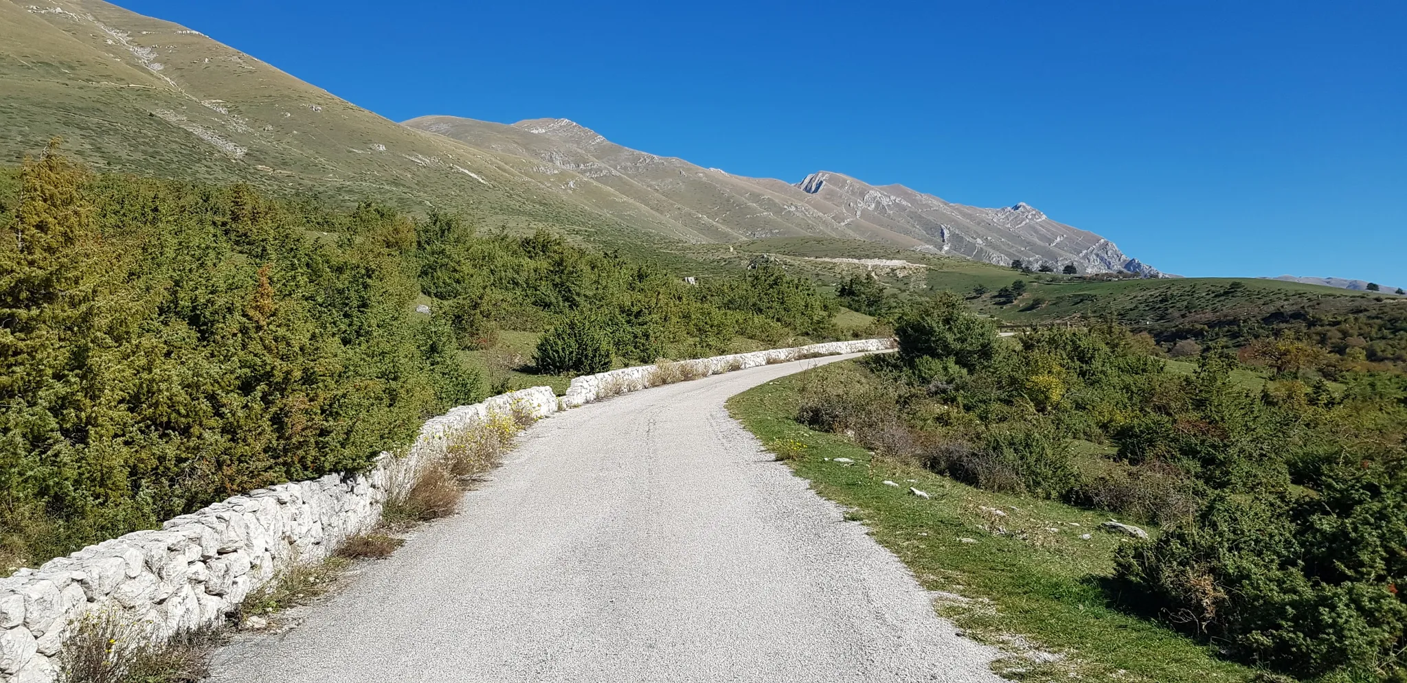
The Apennine Cycleway (Part 2) - From Umbria to Calabria
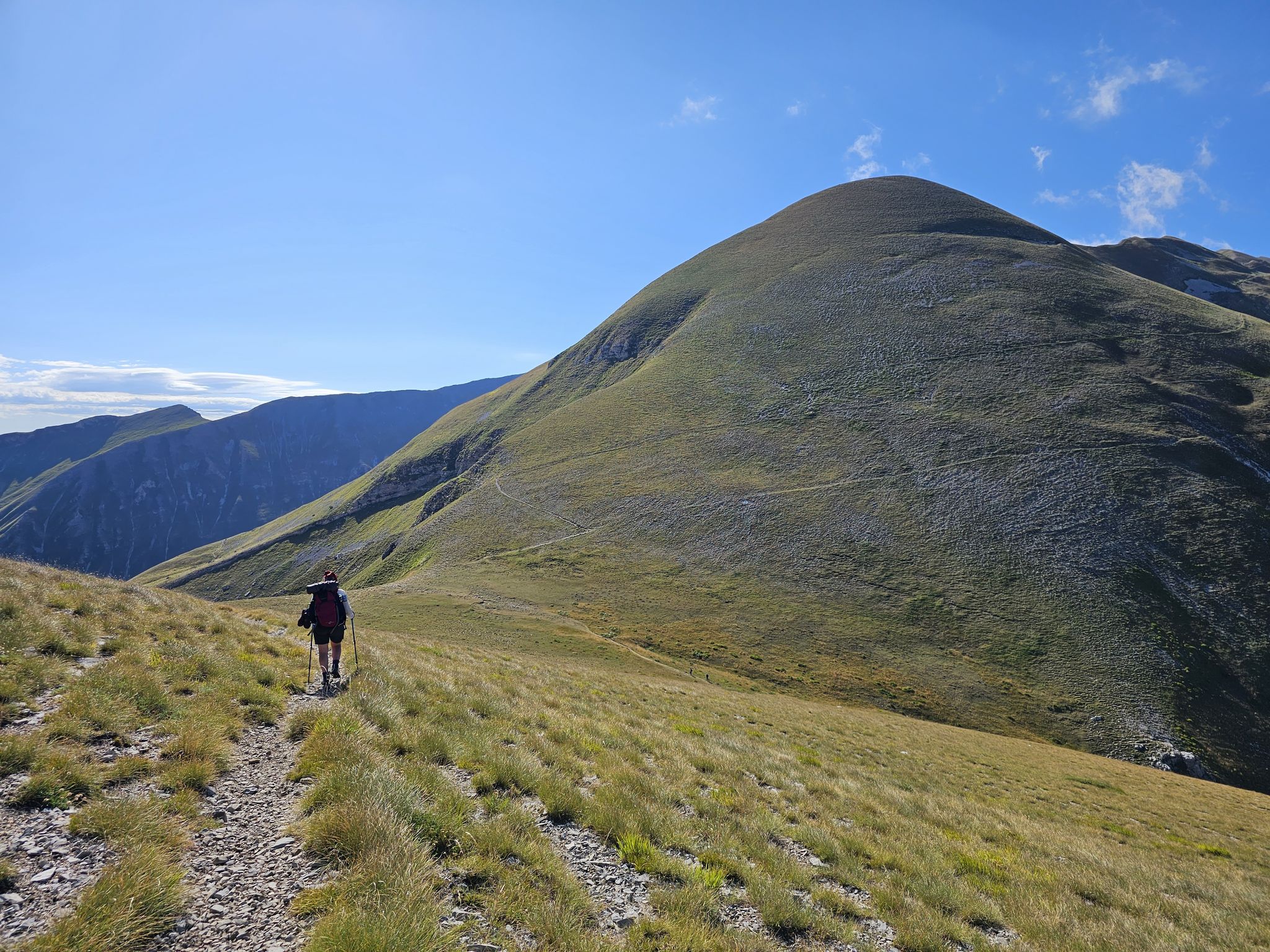
The Sibillini Mountains to Gran Sasso – the Great Apennine Crossing
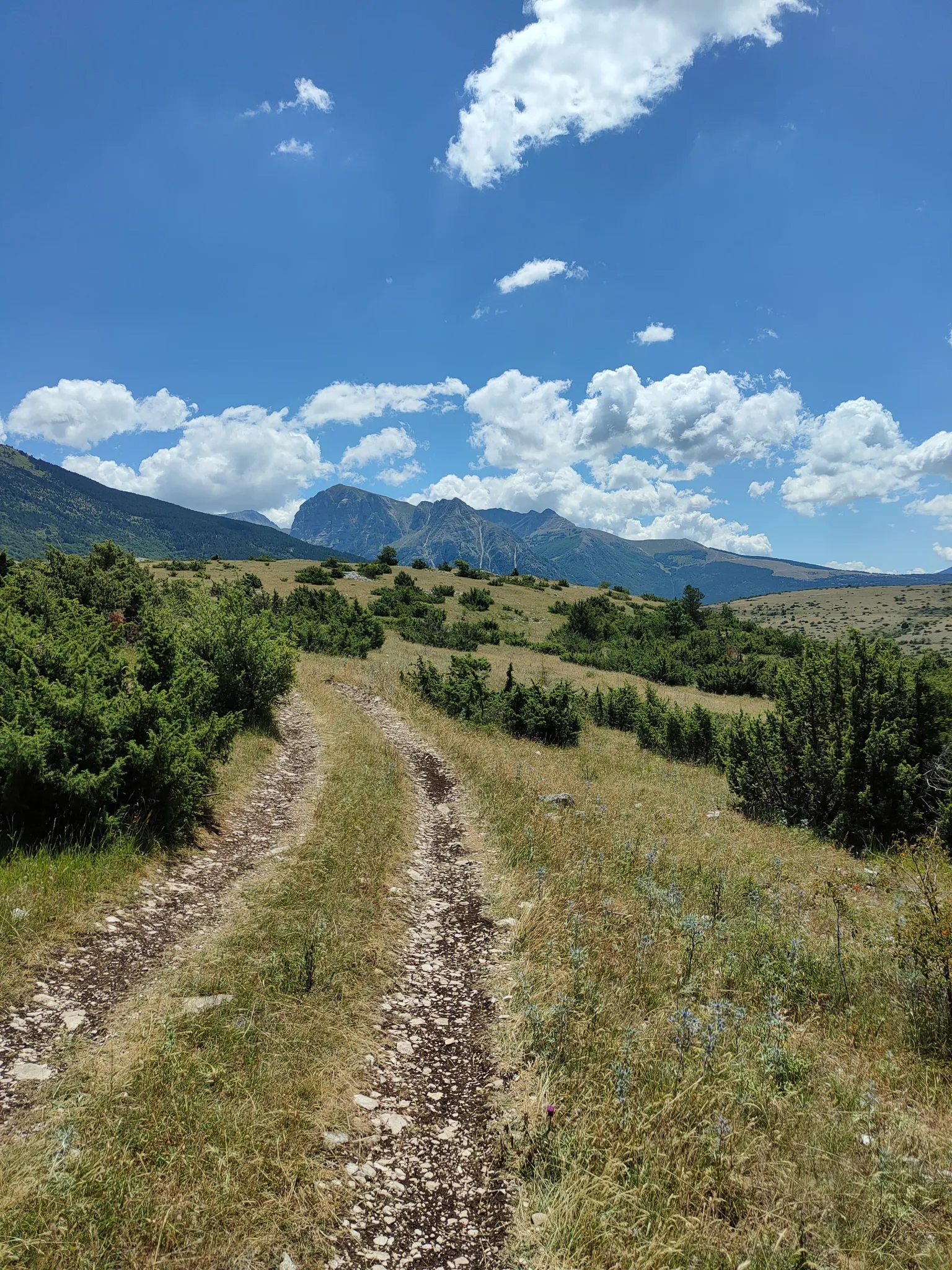
On the trail of the Queen of the Fairies – Grande Anello dei Sibillini
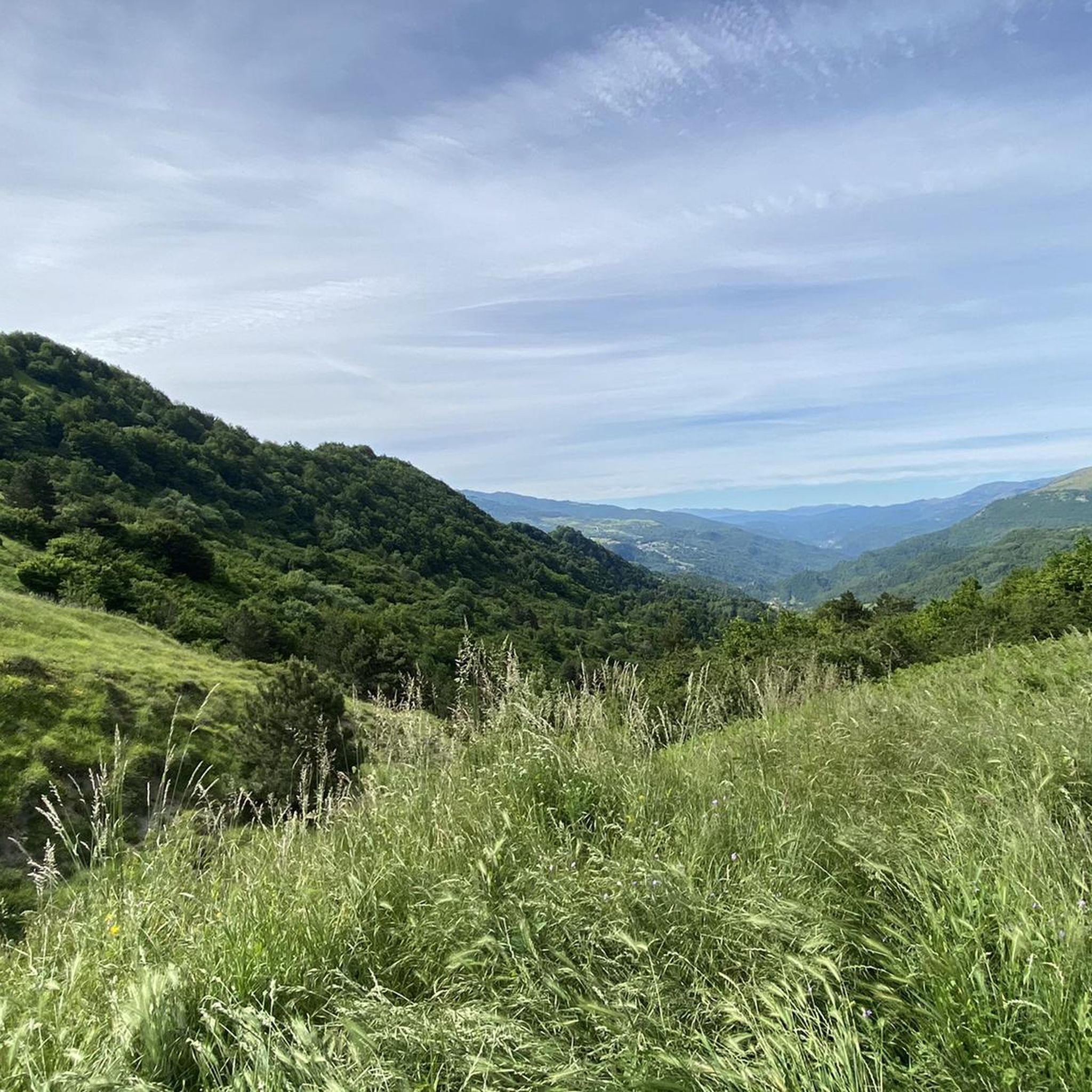
Hiking around Arquata Del Tronto
MTB Trails around Arquata Del Tronto
Road Cycling Routes around Arquata Del Tronto
Running Trails around Arquata Del Tronto
Cycling around Arquata Del Tronto

Gravel biking around Arquata Del Tronto
Other adventures around Arquata Del Tronto

Tips from the Community

A place absolutely worth visiting in all seasons is Castelluccio di Norcia with its plain and the fantastic mountains in the surroundings.
0
0
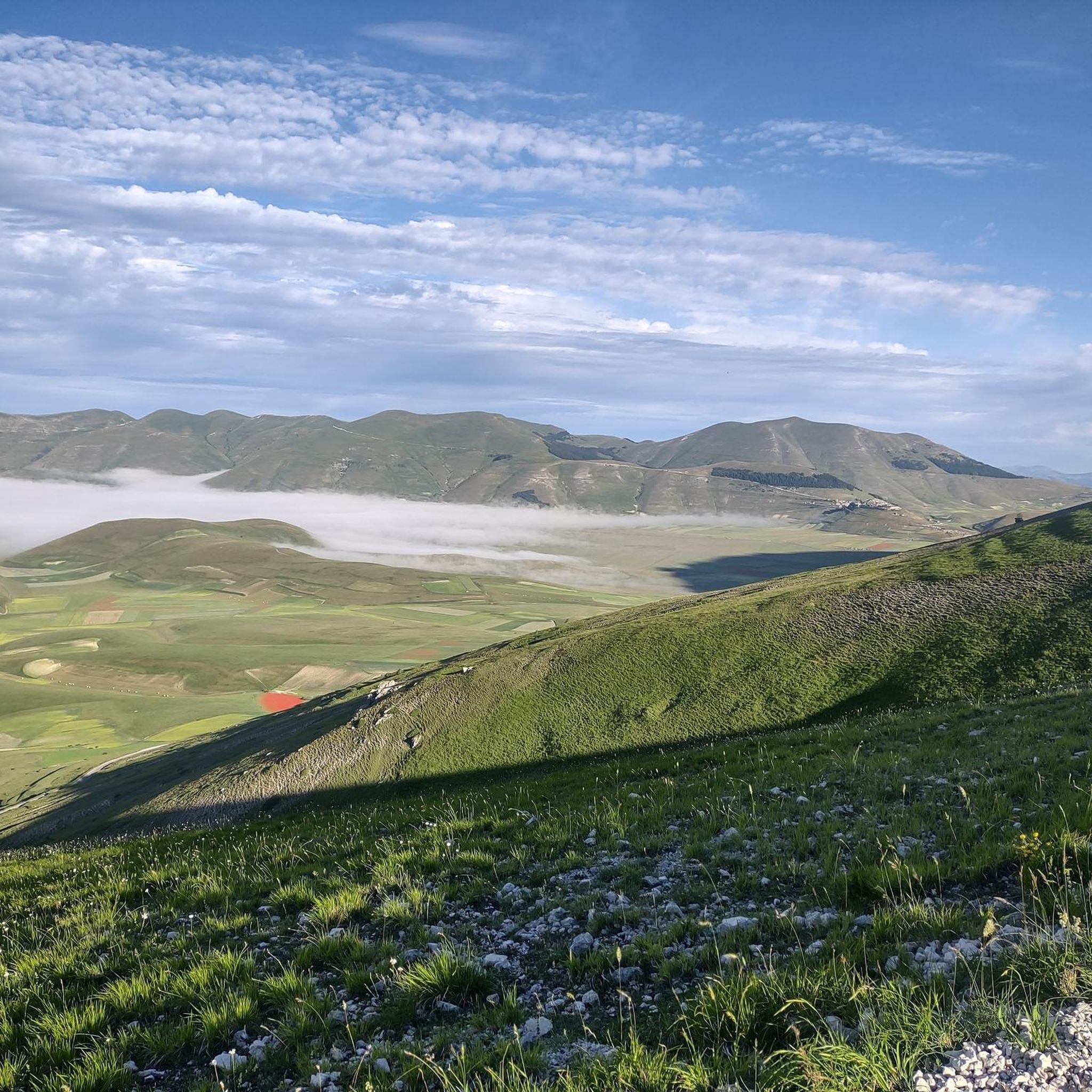
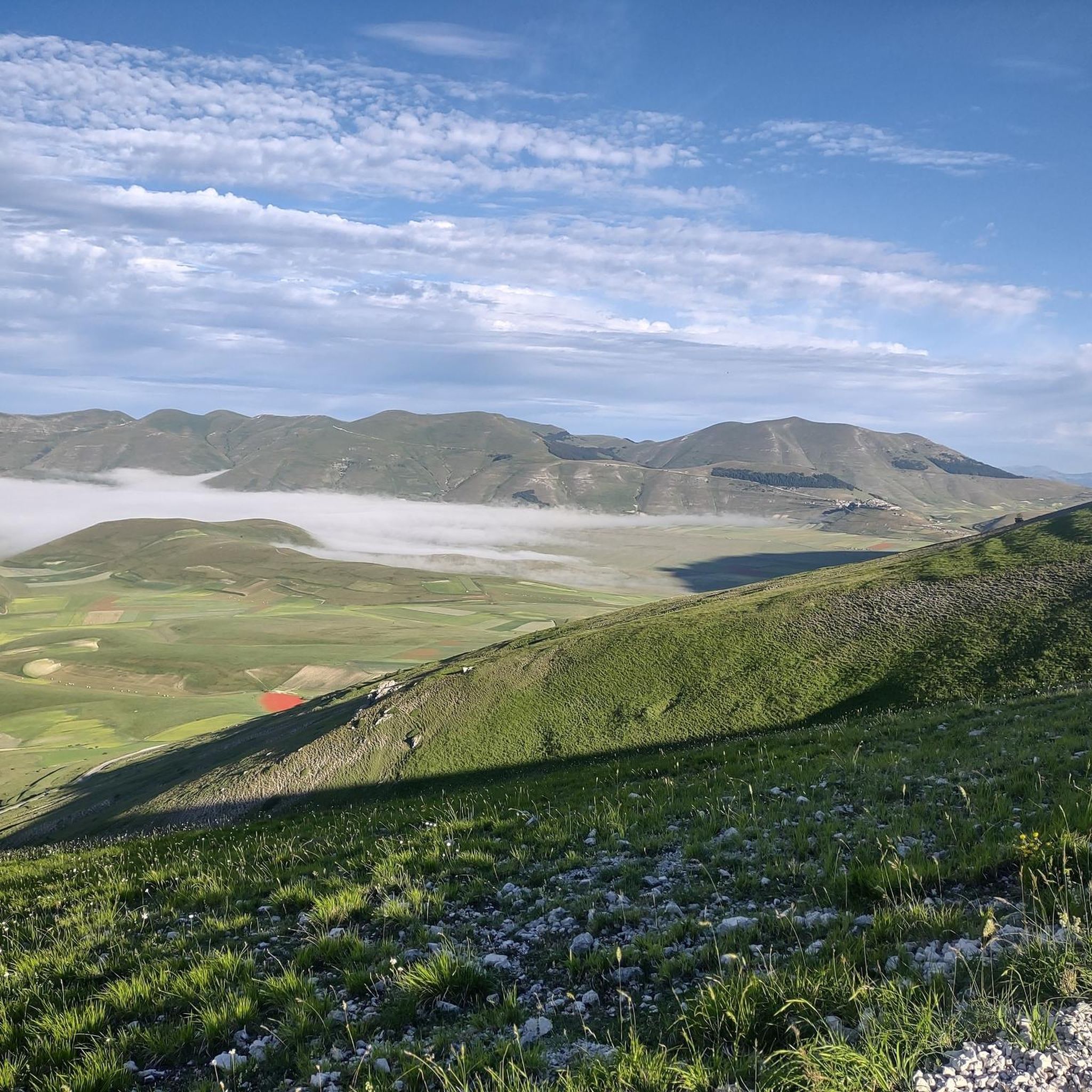
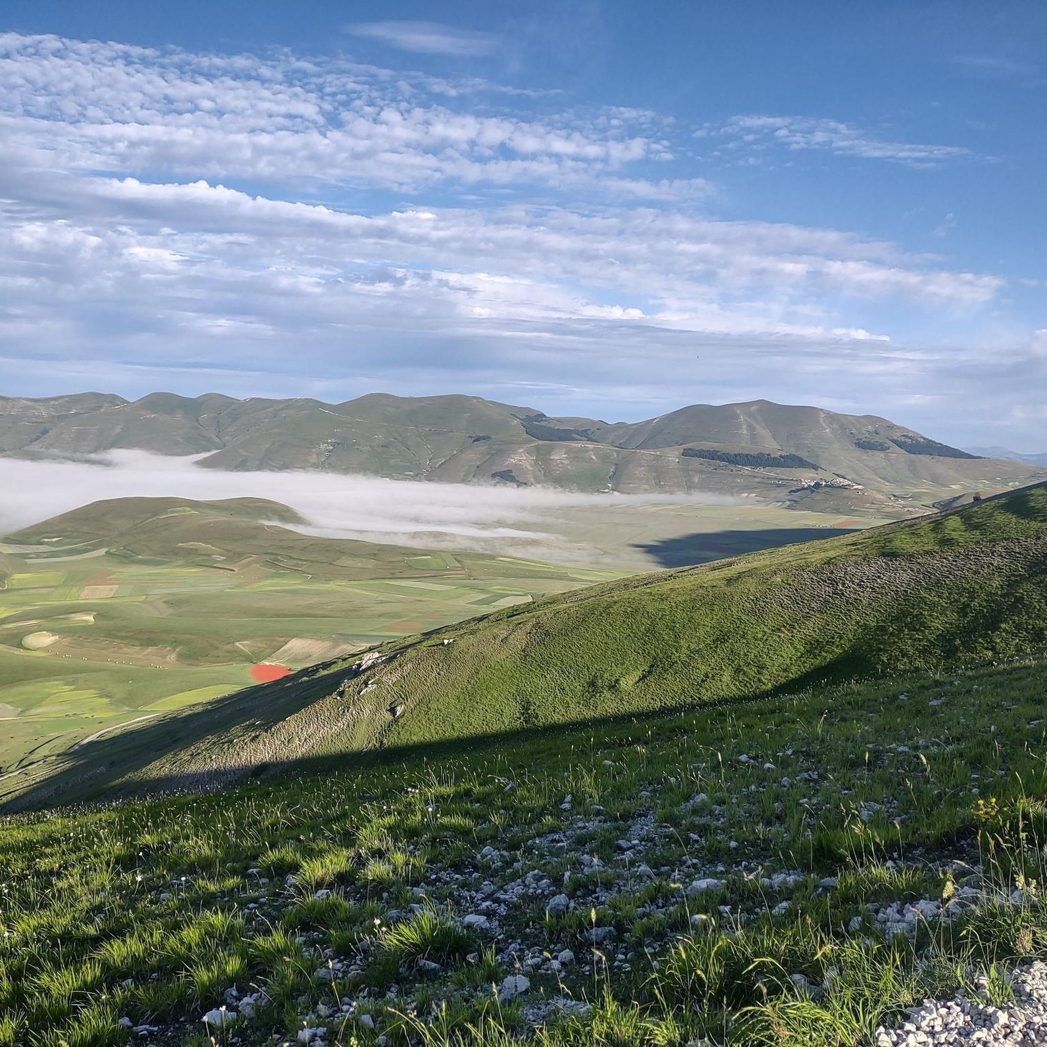
View of Castelluccio di Norcia
0
0


Suddenly, the spectacle of the Pian Grande plateau appears below me, dominated by the Sibillini mountain chain with the Redeemer ridge and protected by the village of Castelluccio di Norcia
0
0

Visited on August 13, 2025. The fountain is recently built (or rebuilt) and supplies water intermittently. The water is fresh and plentiful.
0
0

Check the weather and flowering period
0
0

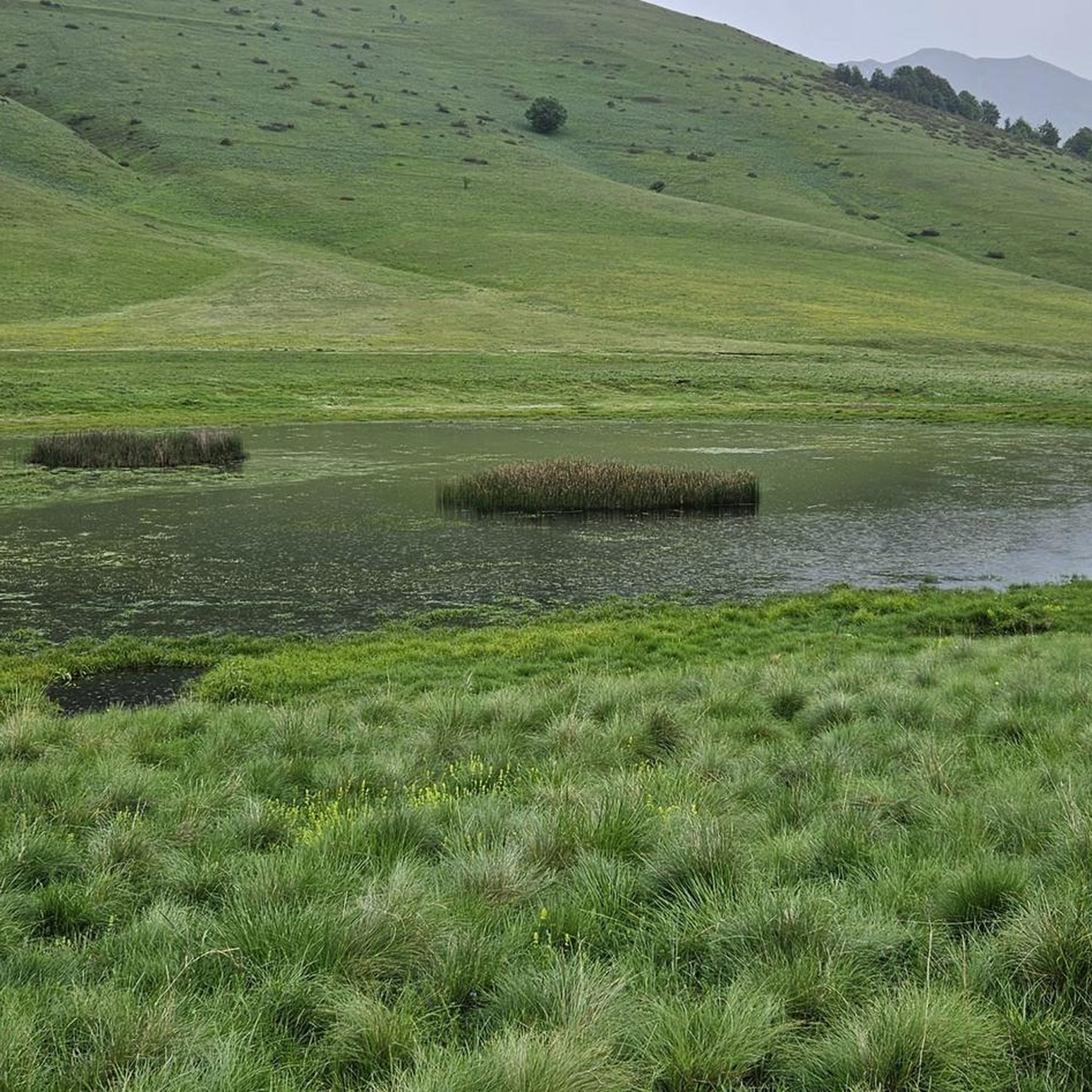
It is an ancient fountain located inside the suggestive Val di Canatra, one of the valleys that open onto the Umbrian side of the Sibillini Mountains. It is a historical source traditionally used for watering animals and as a water supply point for the local population.
0
0
Frequently Asked Questions
What is the general difficulty level of mountaineering routes around Arquata Del Tronto?
Mountaineering routes in Arquata Del Tronto are predominantly challenging. Out of the several routes available, the majority are classified as difficult, featuring significant elevation gains and rocky paths. There is one moderate route, but no easy options, making the area best suited for experienced mountaineers.
Are there any circular mountaineering routes in the Arquata Del Tronto area?
Yes, many of the mountaineering routes around Arquata Del Tronto are designed as loops. For example, you can explore the Monte Vettore loop from Rifugio mezzi litri, the Monte Vettore loop from Forca di Presta, or the Monte Vettore loop from Fonte Nuova, all offering comprehensive ascents of Monte Vettore.
What are the typical distances and durations for mountaineering tours here?
The mountaineering routes in Arquata Del Tronto vary in length and duration, generally ranging from around 10.5 km to 15.3 km. You can expect tours to take anywhere from approximately 4 hours 23 minutes for routes like Monte Porche loop from Monte Rotondo, up to 7 hours 47 minutes for longer, more strenuous ascents such as the Monte Vettore loop from Forca di Presta.
Are there any family-friendly mountaineering options in Arquata Del Tronto?
The mountaineering routes around Arquata Del Tronto are generally demanding, characterized by significant elevation gains and rocky terrain. There are no routes classified as easy, and only one moderate option. Therefore, these trails are typically not recommended for families with young children or those new to mountaineering.
What kind of elevation gain can I expect on these mountaineering routes?
Mountaineering in Arquata Del Tronto involves substantial elevation changes. Routes typically feature ascents ranging from approximately 560 meters, as seen on the Monte Porche loop from Monte Rotondo, to over 1170 meters for more challenging tours like the Monte Vettore loop from Forca di Presta. Be prepared for sustained climbing.
What do other mountaineers appreciate most about the routes in Arquata Del Tronto?
The mountaineering routes in Arquata Del Tronto are highly regarded by the komoot community, boasting an average rating of 5.0 stars from over 10 reviews. Mountaineers frequently praise the challenging ascents, the panoramic views of the Sibillini Mountains, and the true high-mountain experience offered by the rugged terrain.
Are there any notable natural attractions or landmarks along the mountaineering routes?
Yes, the region offers several natural attractions. You can find beautiful lakes such as Pilate Lake, which is part of the Lago di Pilato loop from Sibillini Mountains. Additionally, there are various huts and viewpoints like the Belvedere Hut and Panoramic Platform, offering stunning vistas.
What is the best season for mountaineering in Arquata Del Tronto?
The Sibillini Mountains, where Arquata Del Tronto is located, are best explored for mountaineering during the warmer months, typically from late spring through early autumn. During this period, snow has usually melted from higher elevations, and weather conditions are more stable, making the challenging routes safer and more enjoyable. Always check local weather forecasts before heading out.
Are there any huts or refuges available along the trails for breaks or overnight stays?
Yes, there are several huts and refuges in the vicinity that can serve as points for rest or shelter. Notable options include the Sibilla Hut, the Tito Zilioli Hut, and the Rifugio degli Alpini. These can be valuable resources for longer tours or in changing weather conditions.
What should I consider regarding parking and trailheads for these routes?
Many mountaineering routes in Arquata Del Tronto, particularly those ascending Monte Vettore, start from well-known points like Rifugio mezzi litri, Forca di Presta, or Fonte Nuova. These locations typically offer designated parking areas, but it's advisable to arrive early during peak season to secure a spot. Always check specific route descriptions for detailed trailhead information.
How many mountaineering routes are available in the Arquata Del Tronto area?
There are several mountaineering routes around Arquata Del Tronto, with komoot featuring 6 distinct tours. These routes primarily focus on the rugged terrain of the Sibillini Mountains, offering a variety of challenging ascents for experienced mountaineers.
Most popular routes around Arquata Del Tronto
Most popular attractions around Arquata Del Tronto

Get inspired with the komoot mobile app


Explore more
Browse the best Mountain Hikes & Routes in other regions.
