The best road cycling routes around Arquata Del Tronto
4.7
(46)
1,392
riders
22
rides
Road cycling routes around Arquata Del Tronto are set within a diverse landscape, positioned between the Monti Sibillini National Park and the Gran Sasso and Monti della Laga National Park. This region features a mix of paved roads and some gravel sections, offering varied terrain for cyclists. The area is characterized by significant mountain ranges, high plateaus like Campo Imperatore, and scenic valleys, providing a range of elevation gains.
Best road cycling routes around Arquata Del Tronto
- The most popular…
Last updated: July 8, 2026
5.0
(1)
93
riders
56.2km
03:11
1,280m
1,280m
Hard road ride. Very good fitness required. Mostly well-paved surfaces and easy to ride.
5.0
(1)
22
riders
53.6km
03:13
1,390m
1,390m
Hard road ride. Very good fitness required. Mostly well-paved surfaces and easy to ride.

Sign up for free
28
riders
75.4km
05:00
2,100m
2,100m
Hard road ride. Very good fitness required. Some segments of this route may be unpaved and difficult to ride.
12
riders
74.3km
03:50
1,210m
1,210m
Hard road ride. Very good fitness required. Some segments of this route may be unpaved and difficult to ride.
5.0
(1)
17
riders
29.6km
01:34
540m
540m
Moderate road ride. Good fitness required. Mostly well-paved surfaces and easy to ride.
Get access to more routes and recommendations from other explorers.
Sign up for free
Already have an account?
Our route recommendations are based on thousands of hikes, rides, and runs completed by other people on komoot.
Start today with a free account
Your next adventure awaits.
Login or Signup
Popular around Arquata Del Tronto
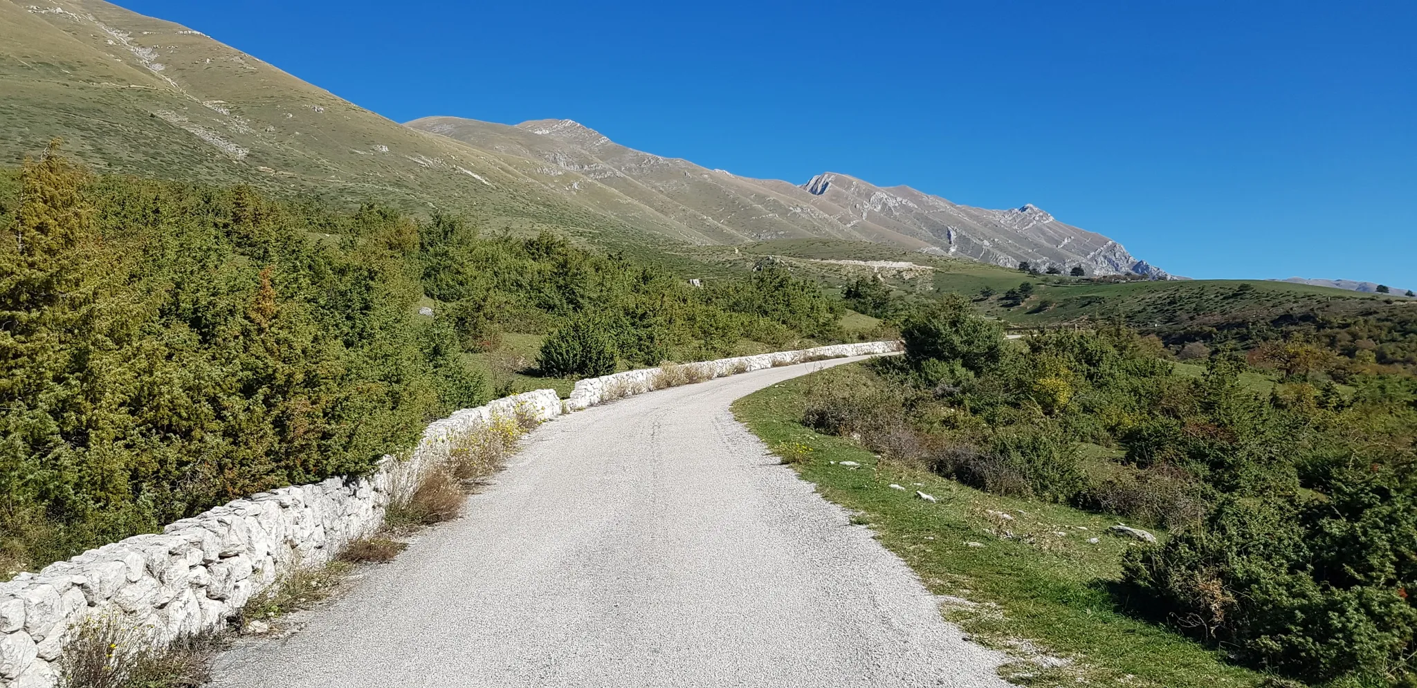
The Apennine Cycleway (Part 2) - From Umbria to Calabria
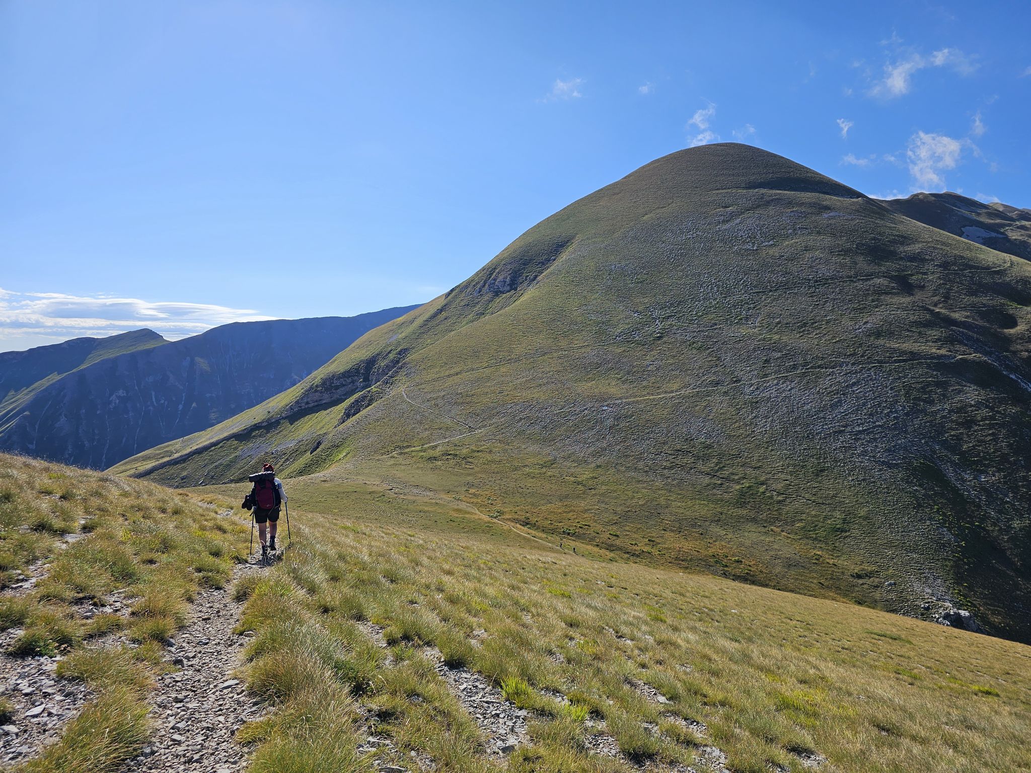
The Sibillini Mountains to Gran Sasso – the Great Apennine Crossing
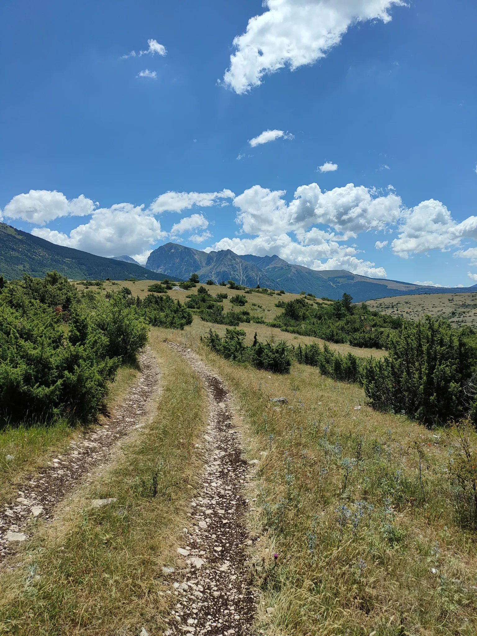
On the trail of the Queen of the Fairies – Grande Anello dei Sibillini
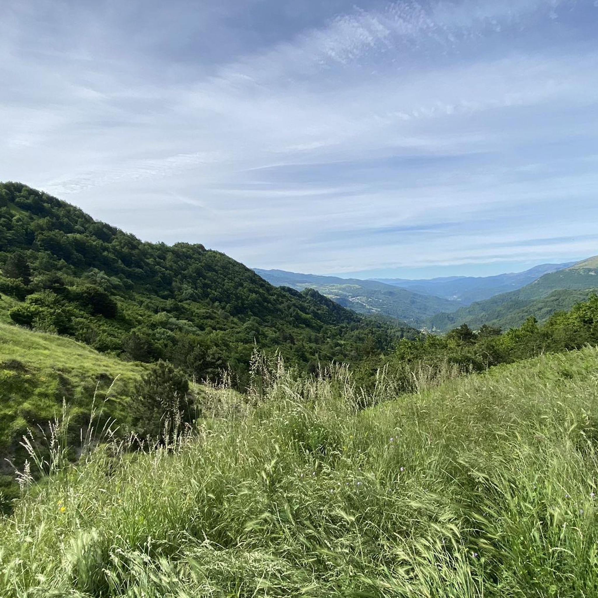
Hiking around Arquata Del Tronto
MTB Trails around Arquata Del Tronto
Running Trails around Arquata Del Tronto
Cycling around Arquata Del Tronto

Gravel biking around Arquata Del Tronto

Mountain Hikes around Arquata Del Tronto
Other adventures around Arquata Del Tronto

Tips from the Community

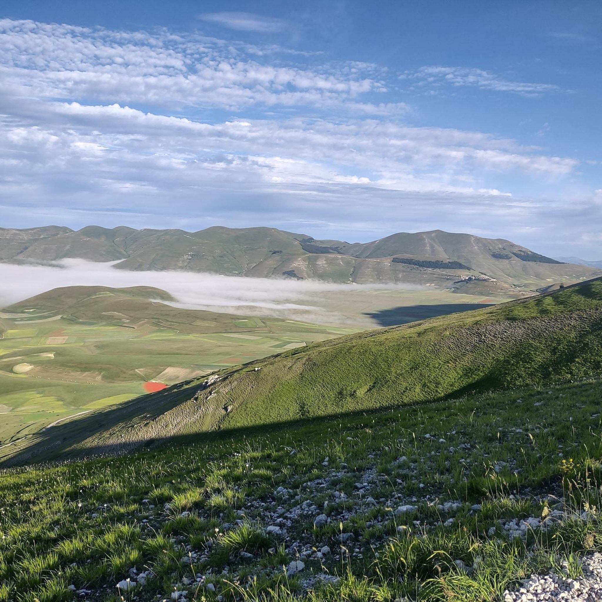
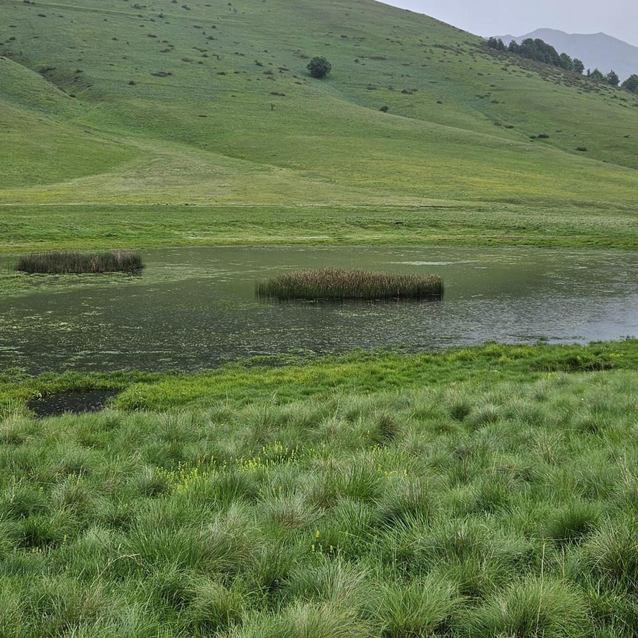
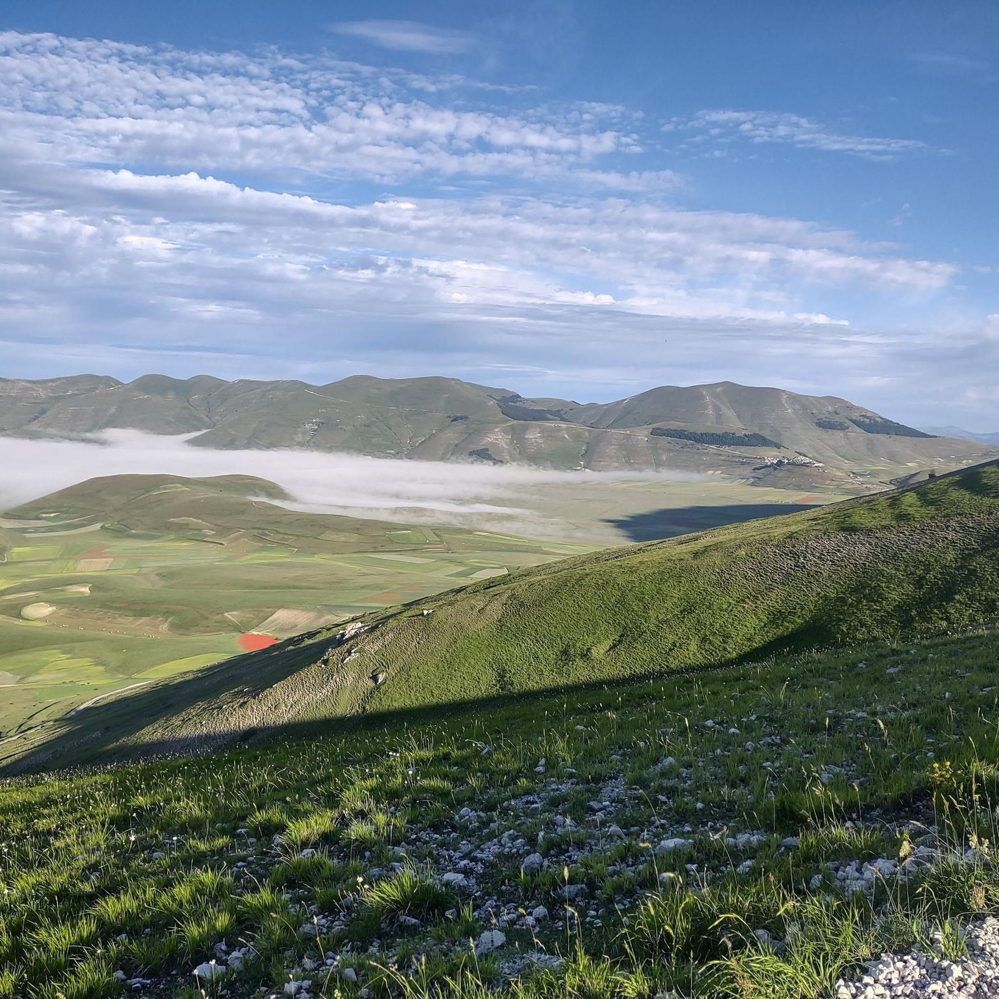
Ascending from the Pian Grande along the road toward the Forca Canapine pass, you're captivated by the wonder of the surroundings. The atmosphere is heavenly. Perhaps the time of year chosen for this tour was fortunate, as the melting snow on the plain has formed small lakes that contribute to making everything even more beautiful.
0
0
Climbing from the Pian Grande towards Forche Camapine, our gaze is captured by what appears around 360° in this plateau with a unique morphology, it seems to be in an earthly paradise. In this period I found natural lakes formed by the melting snow on the plain that create new landscapes... How lucky to have been there right at the end of February
0
0
At this point on the Pian Grande, below Castelluccio di Norcia, you can choose to head towards Forca CanaPina or Forca di Presta, the road that leads towards Ascoli Piceno. It's a pleasure to ride this roughly 6 km climb. It's gentle because the gentle climb encourages you to take in a 360° view of the magnificent geography of the place, forgetting the effort.
0
0

Very fast descent, excellent bottom
0
0

silence, something we sometimes need
0
0
Umbrian-Marche show, among lentils and wheat
0
0
the Castelluccio plain, beautiful both in bloom and not
0
0
one of the most beautiful roads I've ever been on
1
0
Frequently Asked Questions
What kind of terrain can I expect on road cycling routes around Arquata del Tronto?
The region offers a diverse landscape for road cycling, situated between the Monti Sibillini National Park and the Gran Sasso and Monti della Laga National Park. You'll find a mix of paved roads, but some routes may include gravel or dirt sections, providing varied terrain. Expect significant mountain ranges, high plateaus like Campo Imperatore, and scenic valleys, which means a range of elevation gains from moderate to challenging.
How many road cycling routes are available in Arquata del Tronto?
There are over 19 road cycling routes around Arquata del Tronto documented on komoot, offering a variety of experiences for cyclists. These routes are highly rated by the komoot community, with an average score of 4.9 stars from over 30 reviews.
Are there any beginner-friendly road cycling routes in the area?
While many routes in Arquata del Tronto are rated moderate to difficult due to the mountainous terrain, there are options for varying ability levels. For example, the Forca di Presta – Castelluccio di Norcia loop from Pescara del Tronto is a moderate 31.4 km trail with a manageable 617 meters of elevation gain, making it a good choice for those looking for a less strenuous ride.
What are some challenging road cycling routes for experienced riders?
Experienced riders will find plenty of challenges. The View of Pian Grande – View of the Castelluccio Plain loop from Castelluccio is a difficult 56.2 km route with over 1,279 meters of elevation gain. Another demanding option is the Church of Saint Augustine – Amatrice Construction Site loop from Arquata del Tronto, a difficult 74.3 km path with 1,208 meters of climbing, starting directly from Arquata del Tronto.
What natural features and viewpoints can I see along the road cycling routes?
The region is rich in natural beauty. You can expect panoramic views of the Sibillini Mountains, the Marche hills, and even the Adriatic Sea from higher elevations. Notable features include the expansive Piana di Castelluccio, the Apennine mountain range, and the high-altitude Campo Imperatore plateau, often called 'Little Tibet'. You can also find stunning viewpoints like the Belvedere Hut and Panoramic Platform.
Are there any historical landmarks or cultural sites to explore near the cycling routes?
Yes, Arquata del Tronto itself has a rich history. You can explore its medieval heritage, including the 13th-century Rocca (castle), the Sant'Agata Gate, and the Santissima Annunziata church with its precious 13th-century wooden crucifix. The ancient paved paths and dry stone walls connecting its 13 hamlets are also recognized as a UNESCO World Heritage site.
What is the best time of year for road cycling in Arquata del Tronto?
The best time for road cycling is generally from spring through autumn. During these seasons, the weather is more favorable, and the high mountain passes are typically clear of snow. Summer offers warmer temperatures, while spring and autumn provide pleasant conditions and vibrant landscapes. Winter can bring snow and challenging conditions, especially at higher elevations.
Are there any circular road cycling routes available?
Yes, many of the routes in the area are designed as loops, allowing you to start and finish in the same location. Examples include the View of Pian Grande – View of the Castelluccio Plain loop from Castelluccio and the Forca di Presta – Castelluccio di Norcia loop from Pescara del Tronto. These circular routes are ideal for exploring the diverse landscapes without needing a return trip.
What do other road cyclists enjoy most about cycling in Arquata del Tronto?
The area is highly rated by the komoot community, with an average score of 4.9 stars. Reviewers often praise the stunning natural beauty, the challenging climbs, and the diverse terrain that combines paved roads with scenic mountain passes. The panoramic views of the national parks and the Piana di Castelluccio are frequently highlighted as major draws.
Are there any specific mountain passes that are popular among road cyclists?
Yes, the region is known for its challenging and scenic mountain passes. The Forca di Presta Pass is a particularly popular destination, offering significant elevation and breathtaking views. Other notable passes include the Banditello Saddle and the Forca di Gualdo Pass, all providing rewarding climbs and descents.
Can I find places to eat or stay along the road cycling routes?
While specific cafes and accommodations vary by route, the region offers various options in towns and villages. Arquata del Tronto itself provides services, and you may find mountain huts or taverns in more remote areas, such as the Mountain Tavern (Foce) or Sibilla Hut, which can serve as rest stops or overnight stays for cyclists.
What are the main national parks that influence the road cycling experience here?
Arquata del Tronto is uniquely positioned between two major national parks: the Monti Sibillini National Park to the north and the Gran Sasso and Monti della Laga National Park to the south. These parks define the region's diverse and challenging cycling landscape, offering extensive networks of routes, dramatic mountain scenery, and unique natural features like the Piana di Castelluccio and Campo Imperatore.
Most popular routes around Arquata Del Tronto
Most popular attractions around Arquata Del Tronto

Get inspired with the komoot mobile app


Explore more
Browse the best Road cycling routes in other regions.
