Steinacher Forst rechts der Saale
Steinacher Forst rechts der Saale
The best road cycling routes around Steinacher Forst rechts der Saale
4.7
(607)
5,305
riders
327
rides
Road cycling routes around Steinacher Forst rechts der Saale are situated within the Rhön-Grabfeld district of the Bavarian Rhön, a low mountain range known for its diverse landscapes. While Steinacher Forst itself is a densely forested area, the surrounding region offers varied terrain for road cyclists. Routes often feature impressive hills, romantic valleys, and follow the course of the Franconian Saale river. This area provides access to well-developed road cycling options, ranging from gentle valley paths to more challenging climbs.
…Last updated: July 1, 2026
5.0
(8)
49
riders
Moderate road ride. Good fitness required. Mostly well-paved surfaces and easy to ride.
4.6
(7)
42
riders
Easy road ride. Great for any fitness level. Mostly well-paved surfaces and easy to ride.

Sign up for free
3.0
(1)
38
riders
26.0km
01:12
290m
290m
Easy road ride. Great for any fitness level. Mostly well-paved surfaces and easy to ride.
4.8
(4)
28
riders
35.8km
01:58
730m
730m
Moderate road ride. Good fitness required. Mostly well-paved surfaces and easy to ride.
4.7
(3)
29
riders
27.6km
01:14
240m
240m
Moderate road ride. Great for any fitness level. Some segments of this route may be unpaved and difficult to ride.
Get access to more routes and recommendations from other explorers.
Sign up for free
Already have an account?
Our route recommendations are based on thousands of hikes, rides, and runs completed by other people on komoot.
Start today with a free account
Your next adventure awaits.
Login or Signup
Popular around Steinacher Forst rechts der Saale
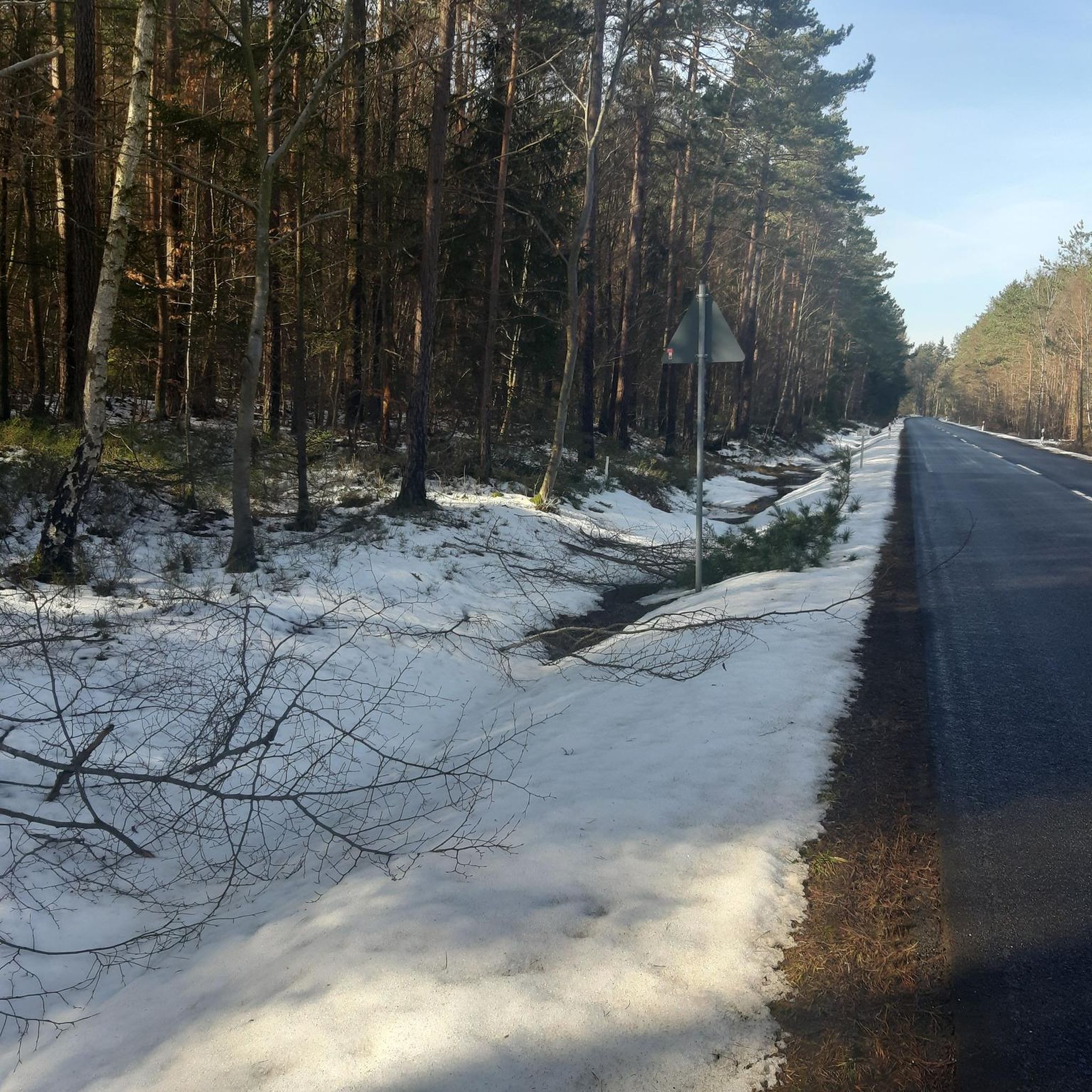
Cycling around Steinacher Forst rechts der Saale
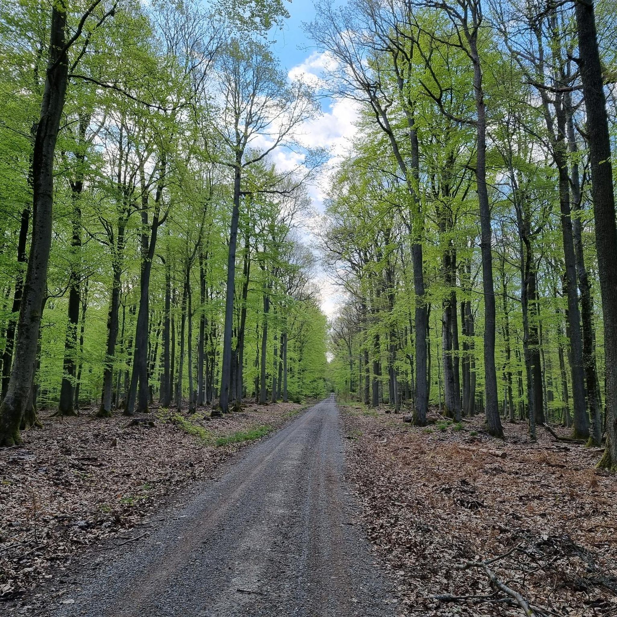
MTB Trails around Steinacher Forst rechts der Saale
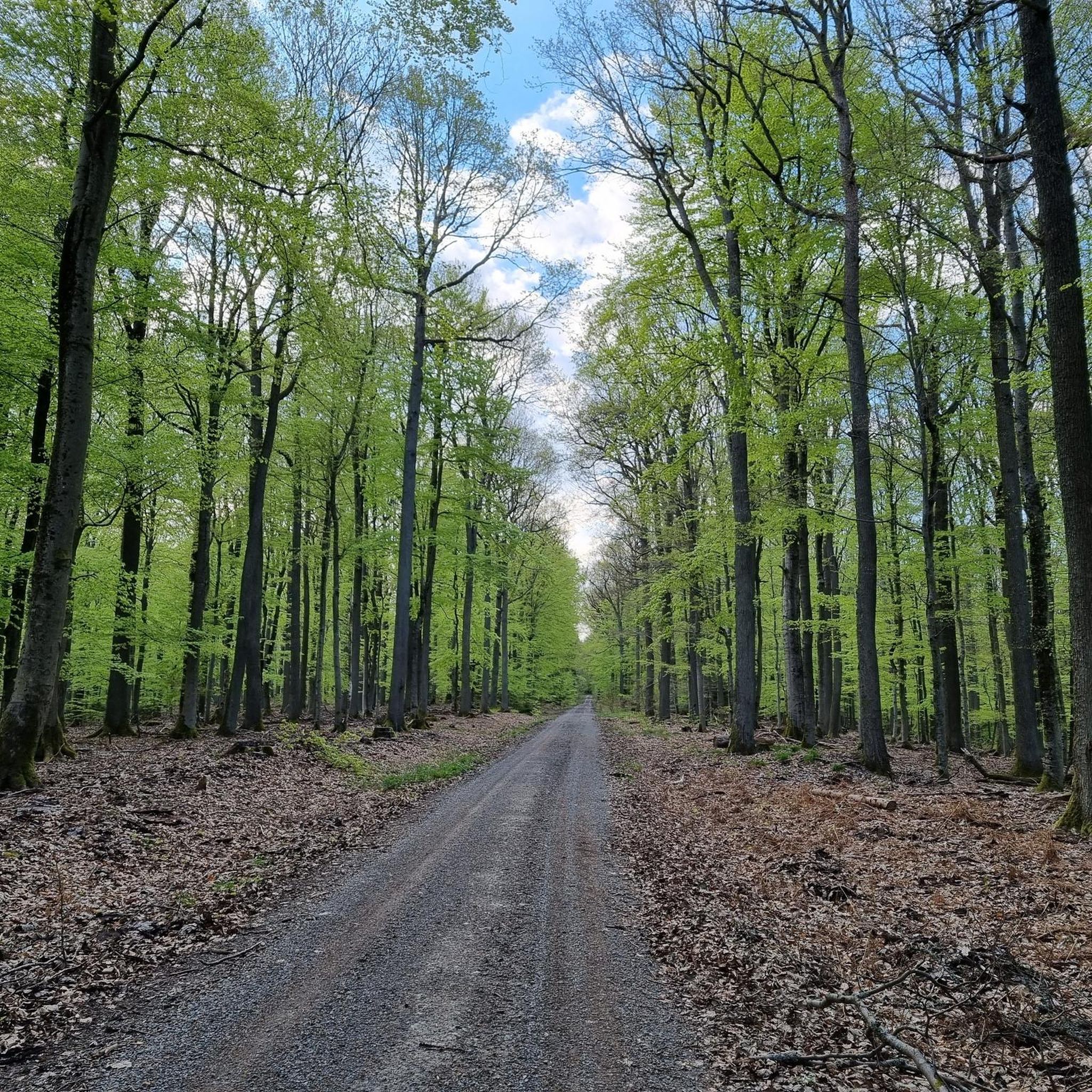
Running Trails around Steinacher Forst rechts der Saale
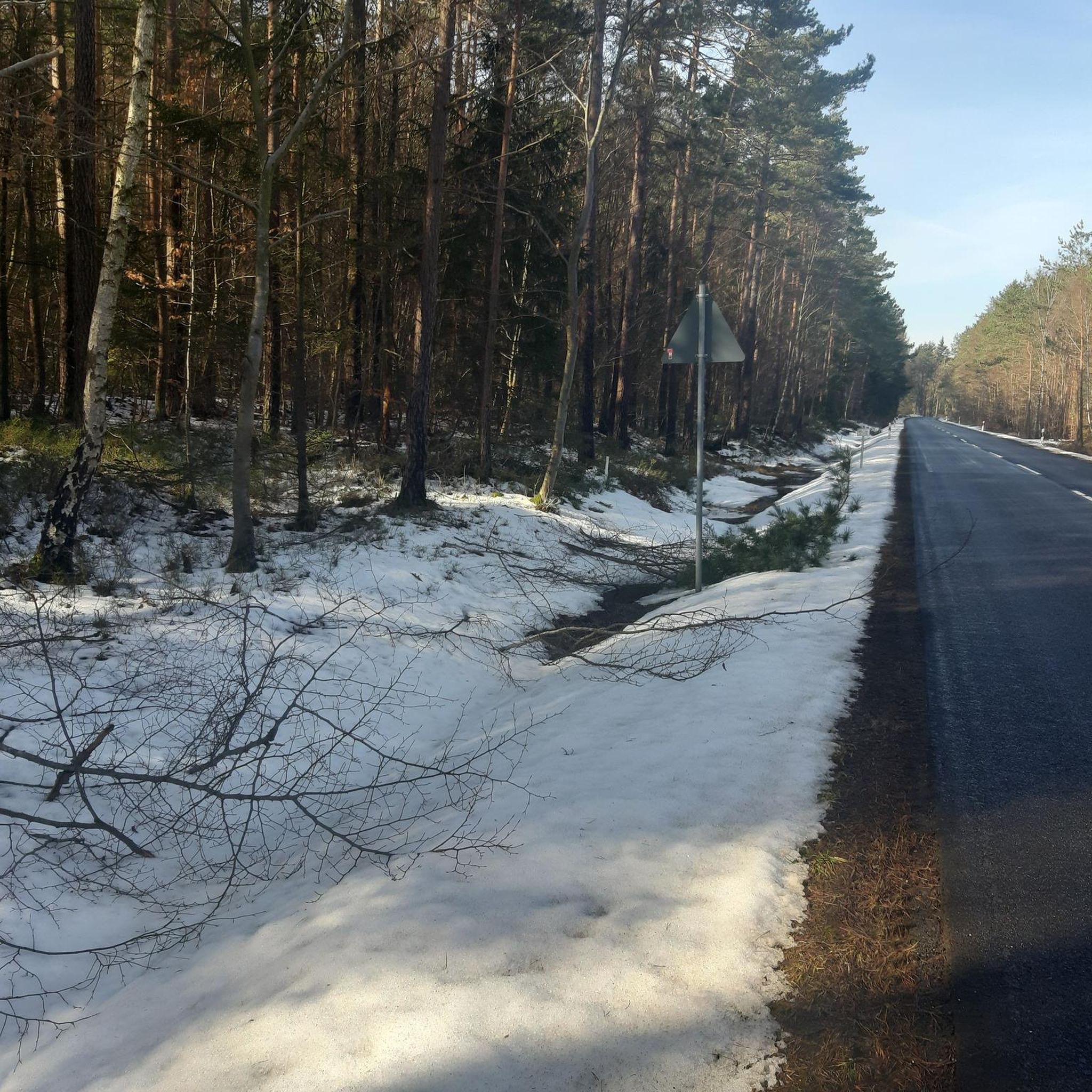
Hiking around Steinacher Forst rechts der Saale

Gravel biking around Steinacher Forst rechts der Saale

Mountain Hikes around Steinacher Forst rechts der Saale
Tips from the Community

The Arnsberg is located northwest of the Kreuzberg in the Bavarian Rhön. It is a striking and widely visible mountain, 842 m high, which belongs to the natural region of the Hohe Rhön.
1
0


Amazing stone arch bridges - like in southern countries.
1
0


The Ruppelmühle is particularly well-known; it is housed in a brick building dating from 1900 and generates 90 kW of electricity through two turbines, primarily for the attached milling operation, where approximately 20 tons of grain are milled daily. (Wikipedia)
0
0

A great view of the Arnsberg, which unfortunately isn't accessible by road bike. But there are other bikes and hiking boots available.
0
0
Beautiful views into the distance and of the nearby Kreuzberg and Arnsberg mountains. Anyone who still has the energy at this point should tackle the last few meters to the Kreuzberg summit. The path is paved all the way to the summit, making it suitable for road bikes.
0
0
Stone pedestrian bridge, single-arch, 18th century
2
0
Frequently Asked Questions
How many road cycling routes are available around Steinacher Forst rechts der Saale?
There are over 330 road cycling routes in the region around Steinacher Forst rechts der Saale. These routes offer a wide range of difficulties, with approximately 34 easy, 200 moderate, and 100 difficult options to choose from.
What kind of terrain and elevation can I expect on road cycling routes in this area?
The region around Steinacher Forst rechts der Saale, being part of the Rhön low mountain range, features varied terrain. You can expect impressive hills and romantic valleys, with routes often following the Franconian Saale river. While some routes offer gentle valley paths, others include more challenging ascents. For example, the Skatepark Bischofsheim – Schmalwasser–Windshausen Road loop from Schmalwasser includes nearly 600 meters of elevation gain over 42 km, while the Heustreu–Bad Neustadt cycle path – Cycle Path Unsleben–Heustreu loop from Bad Neustadt an der Saale (VGem) is flatter, with about 265 meters of elevation gain over 34 km.
Are there any family-friendly road cycling routes near Steinacher Forst rechts der Saale?
Yes, the region offers family-friendly options, particularly along the Franconian Saale river. A notable example is the flat, 12 km section of the Rhönradweg from Bad Bocklet to Bad Kissingen, which passes through picturesque villages like Aschach and Hausen. Routes like the Monte Griebelino Viewpoint – Lömbichs Brönn Fountain loop from Hohenroth, classified as easy, are also suitable for families looking for a less strenuous ride.
What are some scenic viewpoints or natural features I can see along the road cycling routes?
The routes often provide scenic views of the Rhön's unique flora and fauna, impressive hills, and romantic valleys. Many paths follow the Franconian Saale river, offering beautiful waterside scenery. You might also encounter highlights like the Kreuzberg Monastery or the Kissingen Graduation Tower, depending on your chosen route.
What do other road cyclists enjoy most about road cycling in Steinacher Forst rechts der Saale?
The area is highly rated by the komoot community, with an average score of 4.7 stars from over 500 reviews. Cyclists often praise the diverse landscapes, from quiet woodlands to scenic river valleys, and the variety of routes catering to different skill levels. The well-developed cycling options and the natural beauty of the Rhön Biosphere Reserve are frequently highlighted.
Are there any circular road cycling routes available?
Yes, many road cycling routes in the area are designed as loops. For instance, the popular Skatepark Bischofsheim – Schmalwasser–Windshausen Road loop from Schmalwasser and the Heustreu–Bad Neustadt cycle path – Cycle Path Unsleben–Heustreu loop from Bad Neustadt an der Saale (VGem) are both circular routes, allowing you to start and end at the same point.
What are some interesting landmarks or attractions to explore near the cycling routes?
Beyond the natural beauty, the region offers several cultural and historical attractions. You can visit the Kreuzberg Monastery, the Aschach Castle, or the Osterburg castle ruins. The spa town of Bad Bocklet also serves as a good base with amenities and is a starting point for many routes.
What is the best time of year for road biking in the Steinacher Forst area?
The spring, summer, and early autumn months generally offer the most pleasant conditions for road cycling, with milder temperatures and lush landscapes. While specific seasonal cycling information for winter is not detailed, the low mountain range climate means you should be prepared for varying weather, especially at higher elevations.
Where can I find parking or starting points for road bike tours?
The spa town of Bad Bocklet is an excellent starting point for many road cycling routes in the vicinity and likely offers parking facilities. Other towns and villages along the Franconian Saale, such as Bad Neustadt an der Saale or Steinach, also serve as convenient access points for various tours.
Are there any long-distance road cycling routes nearby?
Yes, the region connects to longer cycling networks. The Rhönradweg, for example, offers a flat section through the Saale Valley, which can be integrated into longer tours. For more experienced cyclists, challenging routes like the 59.2 km "Kreuzberg Monastery – View of Arnsberg loop from Bad Bocklet" provide significant climbs and extended distances.
Can I find cafes or places to stop for refreshments along the road cycling routes?
Given the proximity to towns like Bad Bocklet and the picturesque villages along the Franconian Saale, you will find opportunities for refreshments. The spa town of Bad Bocklet, in particular, offers amenities, and many routes pass through or near villages where cafes and pubs are likely available.
Are there challenging road bike climbs in the Steinacher Forst region?
Absolutely. For experienced cyclists seeking a challenge, the Rhön region offers routes with significant elevation gains. An example is a 55 km mountain bike circuit (which can inspire road cycling challenges) with nearly 1000 meters of elevation gain, traversing three valleys and two peaks of the Southern Rhön, including a steep ascent to Kreuzberg. The View of Arnsberg – Kreuzbergsattel loop from Naturpark Bayerische Rhön also features over 730 meters of climbing.
Most popular routes around Steinacher Forst rechts der Saale
Most popular attractions around Steinacher Forst rechts der Saale

Get inspired with the komoot mobile app


Explore more
Browse the best Road cycling routes in other regions.
