Steinacher Forst rechts der Saale
Steinacher Forst rechts der Saale
The best gravel rides around Steinacher Forst rechts der Saale
4.7
(25)
158
riders
38
rides
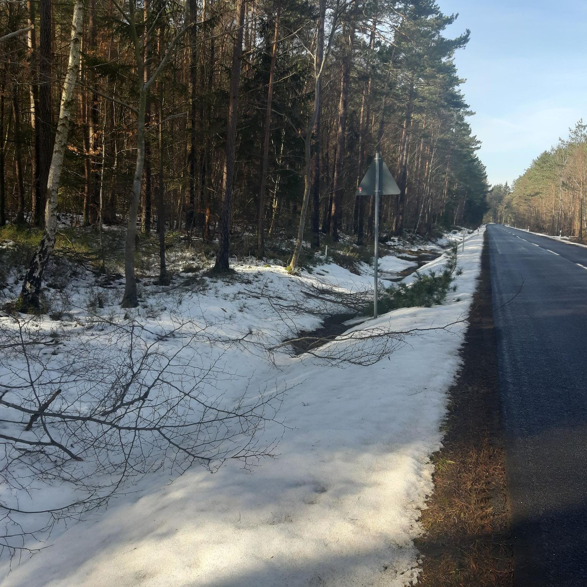
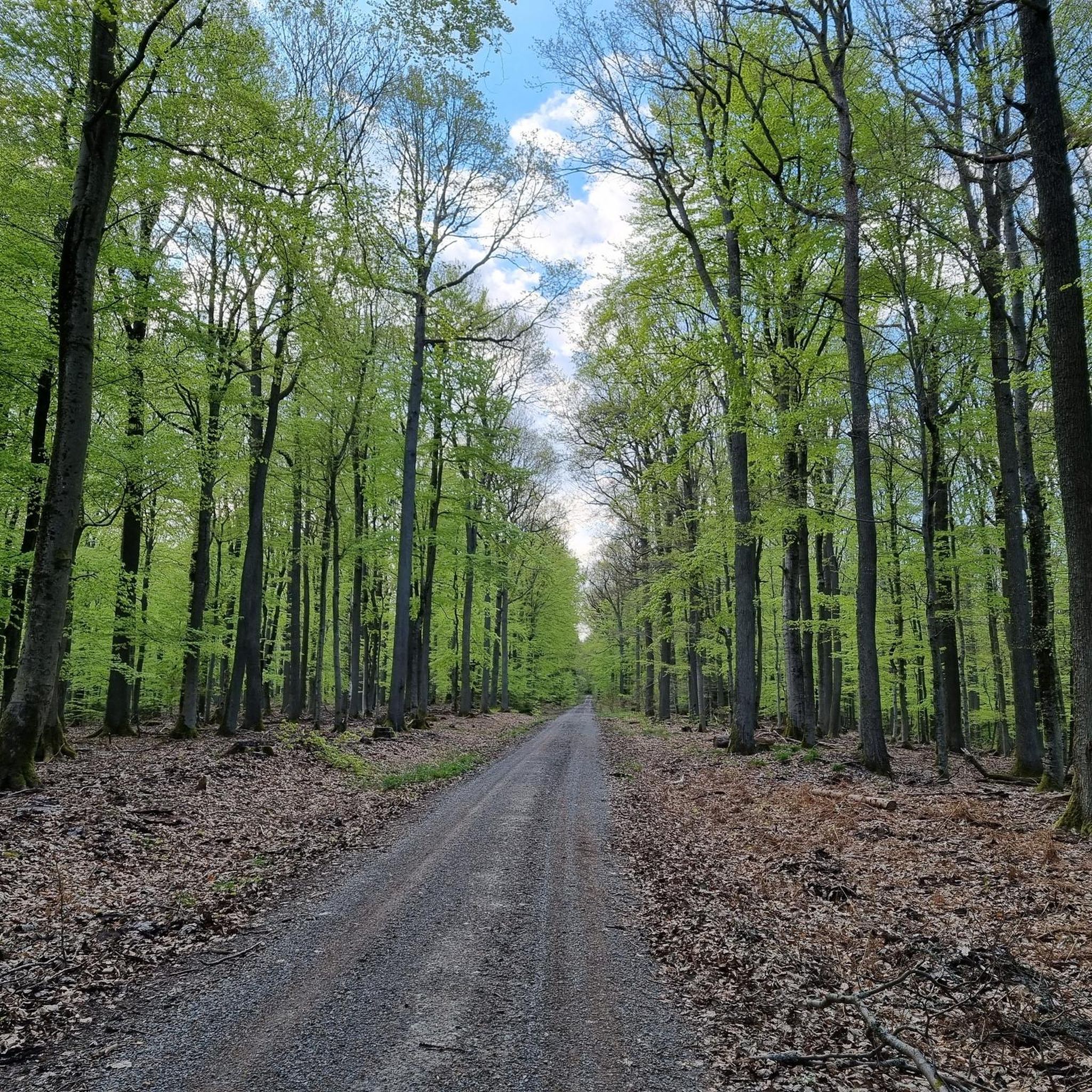
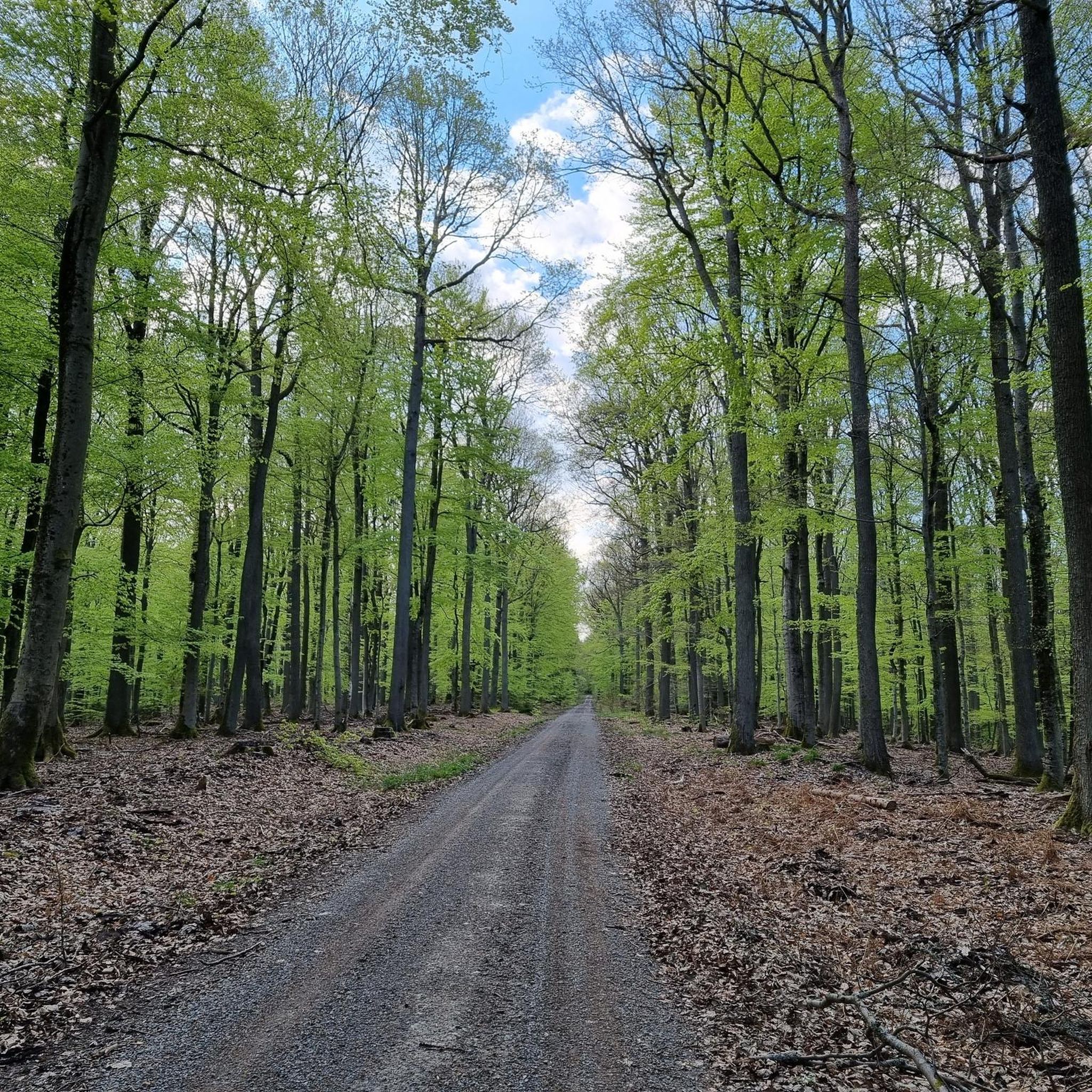
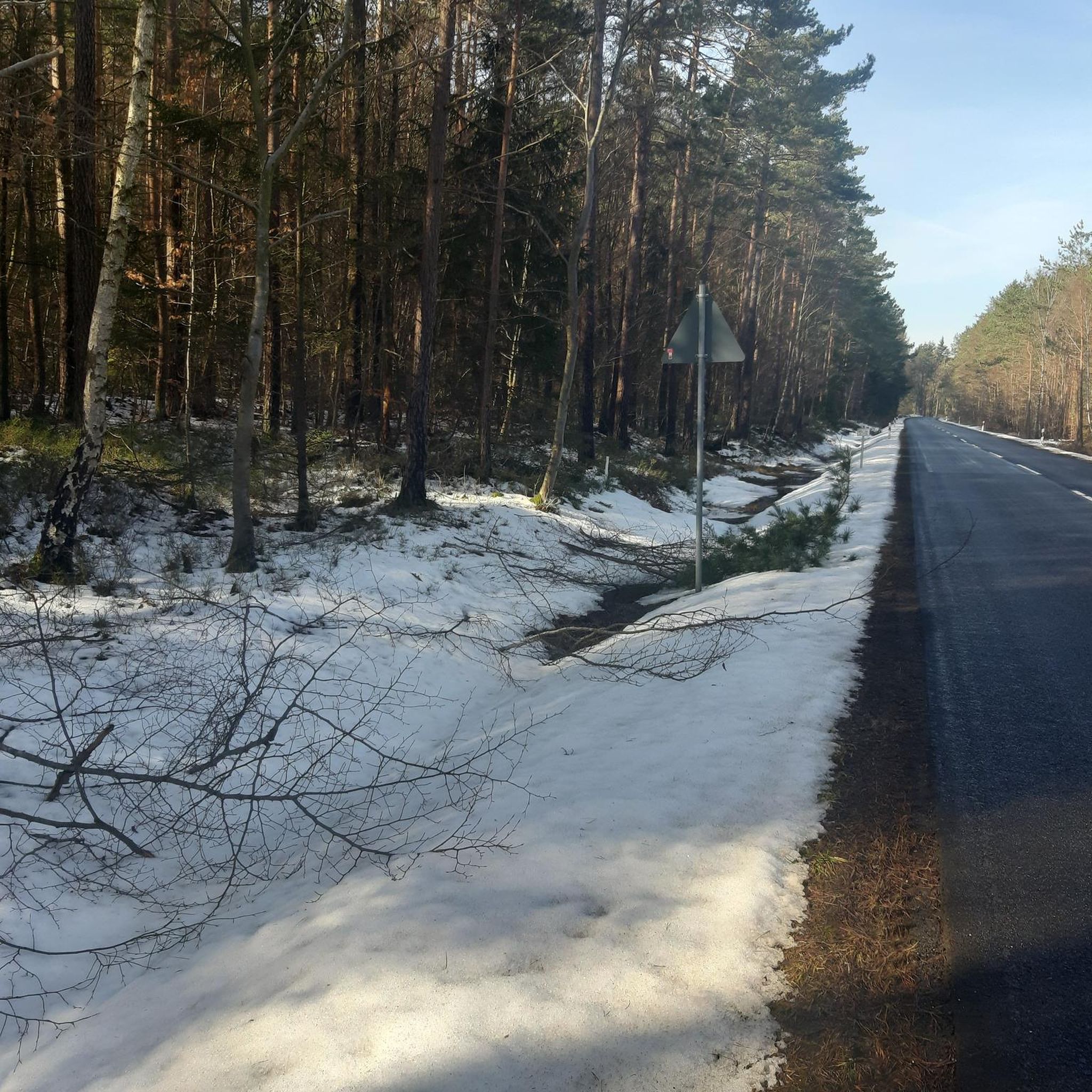
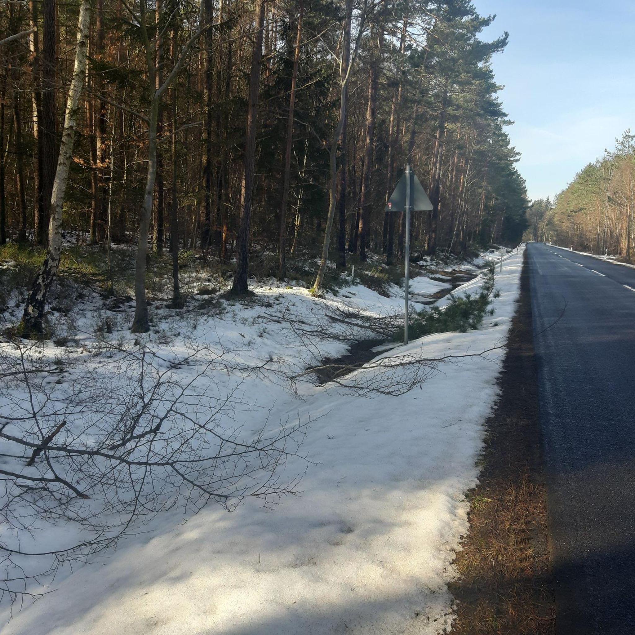
Gravel biking around Steinacher Forst rechts der Saale is situated within a completely forested landscape in the Bavarian Rhön. The region features extensive woodlands, offering a network of forest roads and paths suitable for gravel bikes. Terrain includes asphalt, field, forest, and gravel paths, with gentle hills and wide valleys. Elevated points in the surrounding area provide opportunities for panoramic views across the Rhön landscape.
Best gravel bike trails around Steinacher Forst rechts der Saale
- The most popular gravel bike…
Last updated: July 2, 2026
4.6
(5)
15
riders
52.3km
03:38
1,120m
1,120m
Hard gravel ride. Very good fitness required. Mostly paved surfaces. Suitable for all skill levels.
4.3
(3)
26
riders
39.6km
02:15
400m
400m
Moderate gravel ride. Good fitness required. Mostly paved surfaces. Suitable for all skill levels.

Sign up for free
5.0
(2)
8
riders
Hard gravel ride. Very good fitness required. Mostly paved surfaces. Suitable for all skill levels.
4.8
(6)
21
riders
65.6km
03:58
860m
860m
Hard gravel ride. Very good fitness required. Mostly paved surfaces. Suitable for all skill levels.
4.5
(4)
7
riders
26.1km
01:33
280m
280m
Moderate gravel ride. Good fitness required. Mostly paved surfaces. Suitable for all skill levels.
Get access to more routes and recommendations from other explorers.
Sign up for free
Already have an account?
Our route recommendations are based on thousands of hikes, rides, and runs completed by other people on komoot.
Start today with a free account
Your next adventure awaits.
Login or Signup
Popular around Steinacher Forst rechts der Saale
Cycling around Steinacher Forst rechts der Saale
MTB Trails around Steinacher Forst rechts der Saale
Running Trails around Steinacher Forst rechts der Saale
Road Cycling Routes around Steinacher Forst rechts der Saale
Hiking around Steinacher Forst rechts der Saale

Mountain Hikes around Steinacher Forst rechts der Saale
Tips from the Community

You can ride nicely along the water
0
0

Yes, it looks quite impressive...
0
0

The center of Bischofsheim is super nice and definitely worth seeing on a tour.
0
0

Very worthwhile to walk there - beautiful view from the tower.
0
0

Beautiful bridge ensemble in the Lollbach valley.
1
0


The Rose Garden is a park in the spa town of Bad Kissingen, known for its approximately 160 rose varieties. The multimedia fountain is a special highlight of the complex. Musical water choreographies take place there daily, and after dark, projector shows are projected onto a screen made of water droplets.
1
0

With an area of 50 hectares, the Rote Moor is the second largest raised bog in the UNESCO Rhön Biosphere Reserve.
0
0
Frequently Asked Questions
How many gravel bike trails are available in Steinacher Forst rechts der Saale?
There are over 80 gravel bike routes in Steinacher Forst rechts der Saale, offering a wide range of options for different skill levels and preferences. You'll find everything from moderate forest paths to more challenging routes with significant elevation gain.
What kind of terrain can I expect on the gravel bike trails in Steinacher Forst rechts der Saale?
The terrain in Steinacher Forst rechts der Saale is diverse, featuring a mix of asphalt, field paths, forest tracks, and gravel paths. As a completely forested area within the Bavarian Rhön, you'll primarily be riding through extensive woodlands, with potential for gentle hills and wide valleys.
Are there routes suitable for beginners or families?
While many routes are moderate to difficult, there is at least one easy route available. For families or beginners, look for routes with lower elevation gain and shorter distances. The region's extensive network of forest roads can offer smoother sections suitable for a more relaxed ride.
What are the best times of year for gravel biking in this region?
The best times for gravel biking in Steinacher Forst rechts der Saale are generally spring, summer, and autumn. These seasons offer pleasant temperatures and vibrant natural scenery. Autumn, in particular, provides beautiful foliage. Always check local weather conditions before heading out, especially during shoulder seasons.
Are there any viewpoints or natural features to look out for along the trails?
Yes, the region offers several points of interest. You might encounter elevated points providing panoramic views of the surrounding Rhön landscape. Notable highlights include the View from Bergwachthütte and the View from Feuerberg. The landscape itself, with its dense woodlands and quiet valleys, is a significant natural feature.
Can I bring my dog on the gravel bike trails?
Generally, dogs are welcome on most trails in natural areas like Steinacher Forst rechts der Saale, especially on forest roads. However, it's always best to keep your dog on a leash, especially when passing through populated areas or near wildlife. Be mindful of other trail users and local regulations.
Are there any circular gravel bike routes available?
Many of the gravel bike routes in Steinacher Forst rechts der Saale are designed as loops, allowing you to start and end at the same point. For example, the Saale Cycle Path – Bad Kissingen Spa Garden loop from Bad Neustadt (Saale) is a popular circular option, as is the Münnerstadt Valley – Talkirche loop from Bad Neustadt (Saale).
Where can I find parking for gravel biking in Steinacher Forst rechts der Saale?
Given the region's popularity for outdoor activities, you can typically find parking at common trailheads or near towns bordering the forest, such as Bad Neustadt (Saale) or Steinach. Look for designated parking areas that cater to hikers and cyclists.
Is public transport an option to reach the trails with my bike?
Public transport options to Steinacher Forst rechts der Saale may be limited, but regional train services often allow bikes, especially outside of peak hours. Check local bus and train schedules for routes connecting to towns like Bad Neustadt (Saale) and their bike carriage policies. Planning your journey in advance is recommended.
What do other gravel bikers say about the trails here?
The gravel bike routes in Steinacher Forst rechts der Saale are highly rated by the komoot community, with an average score of 4.8 stars from over 80 reviews. Riders often praise the immersive experience within the dense woodlands, the varied terrain, and the sense of natural serenity.
Are there any places to stop for refreshments or accommodation nearby?
While Steinacher Forst rechts der Saale itself is largely undeveloped forest, surrounding towns like Bad Neustadt (Saale) and Münnerstadt offer various cafes, restaurants, and accommodation options. Within the broader region, you might also find huts like the Gemündener Hut or the Fisherman's Hut at Rothsee, which can be good stopping points.
What is the typical difficulty level of the gravel bike routes?
The gravel bike routes in Steinacher Forst rechts der Saale range from moderate to difficult. Out of 86 routes, 30 are classified as moderate and 55 as difficult, indicating that many trails involve significant climbs or technical sections. Only a few easy routes are available, so be prepared for a challenge.
How long do the gravel bike routes typically take to complete?
Route durations vary significantly based on distance and difficulty. For example, the Saale Cycle Path – Bad Kissingen Spa Garden loop is about 63.8 km and takes around 4 hours 9 minutes, while the longer View of Wülfershausen – Cycle Path to Salz loop at 75.7 km typically takes about 5 hours 10 minutes. Plan your ride according to your fitness level and available time.
Most popular routes around Steinacher Forst rechts der Saale
Most popular attractions around Steinacher Forst rechts der Saale

Get inspired with the komoot mobile app


Explore more
Browse the best Gravel rides in other regions.
