The best walks and hikes around Steg-Hohtenn
4.6
(343)
2,148
hikers
17
hikes
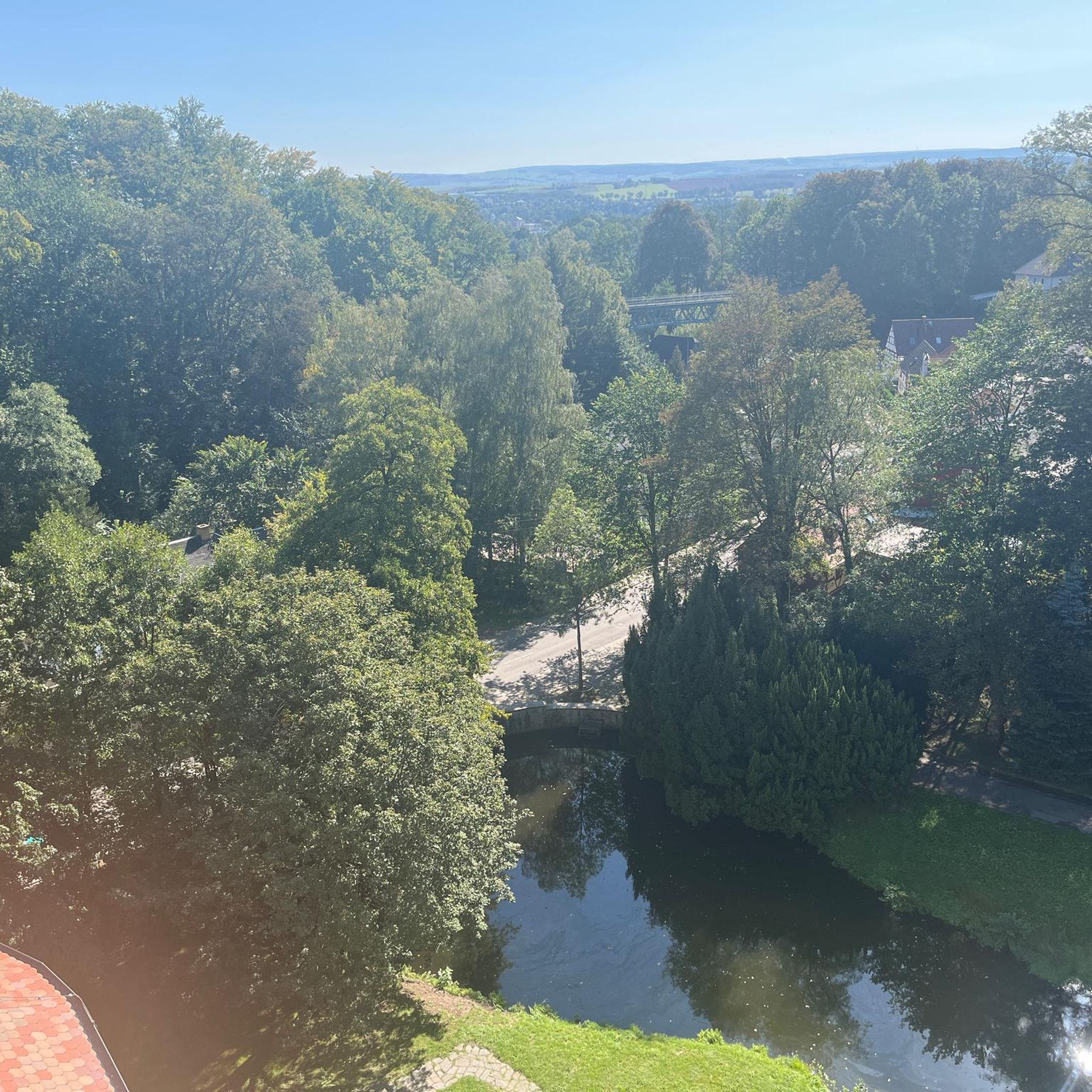
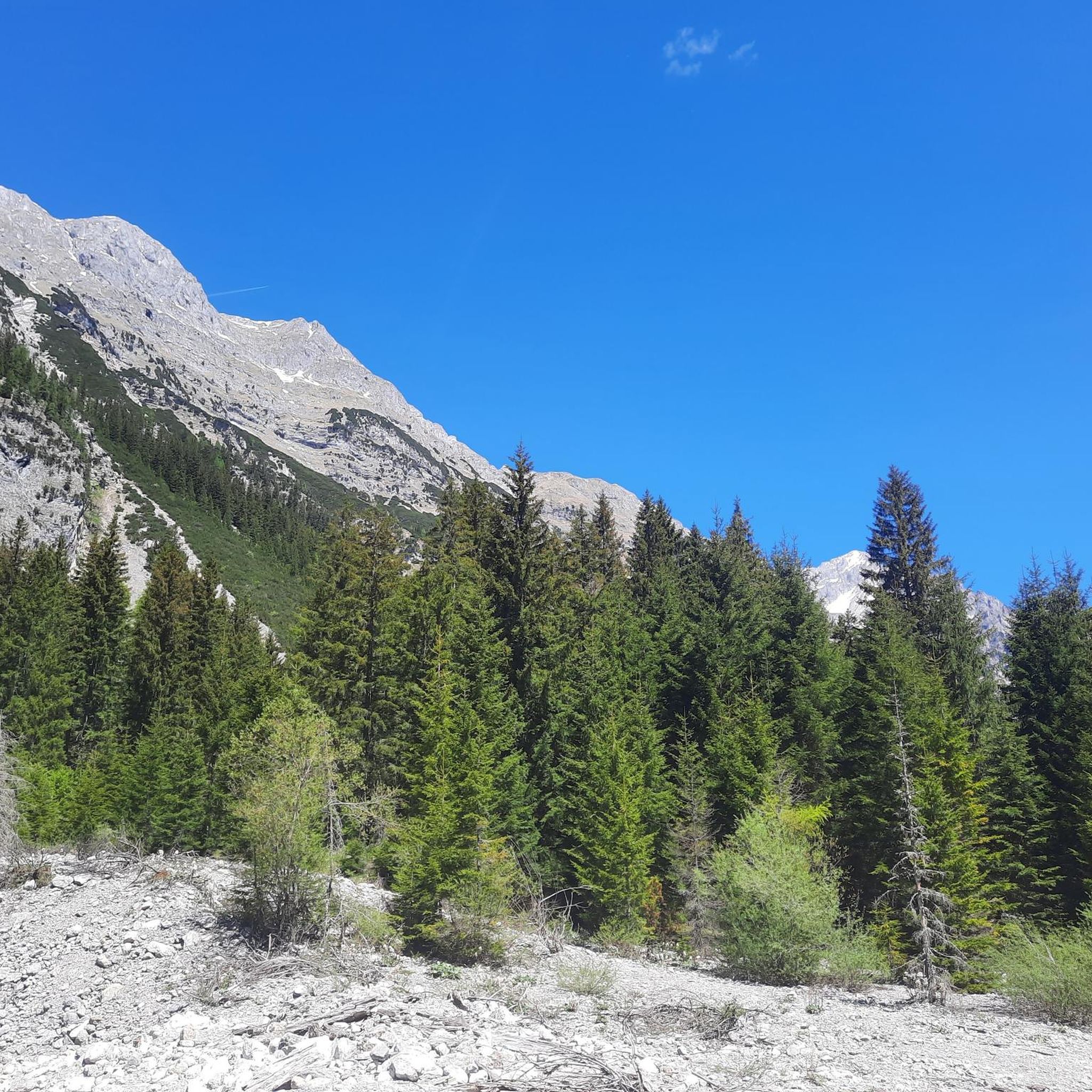
Hiking around Steg-Hohtenn offers diverse landscapes across an altitude range from 600 to 2200 meters above sea level. The region features varied terrain, including picturesque vineyard terraces, mountain lakes, and glaciers. Hikers can explore different environments, from warmer lower zones to higher alpine settings. Adjoining valleys like Lötschental and Bietschtal further expand the available hiking areas.
Best hiking trails around Steg-Hohtenn
- The most popular hiking route is Jolibach Suspension Bridge – Luogelkin Viaduct loop from Gampel, a 5.7 miles…
Last updated: September 30, 2026
4.9
(18)
70
hikers
9.16km
03:22
460m
460m
Hard hike. Good fitness required. Sure-footedness, sturdy shoes and alpine experience required.
4.3
(6)
76
hikers
22.6km
06:50
590m
590m
Hard hike. Very good fitness required. Sure-footedness, sturdy shoes and alpine experience required.

4.8
(118)
717
hikers
17.6km
05:27
560m
560m
Hard hike. Very good fitness required. Sure-footedness, sturdy shoes and alpine experience required.
5.0
(3)
33
hikers
Hard hike. Good fitness required. Sure-footedness, sturdy shoes and alpine experience required.
4.8
(5)
31
hikers
16.5km
05:50
910m
910m
Hard hike. Very good fitness required. Mostly accessible paths. Sure-footedness required.
Get access to more routes and recommendations from other explorers.
Already have an account?
Our route recommendations are based on thousands of hikes, rides, and runs completed by other people on komoot.
Start today with a free account
Your next adventure awaits.
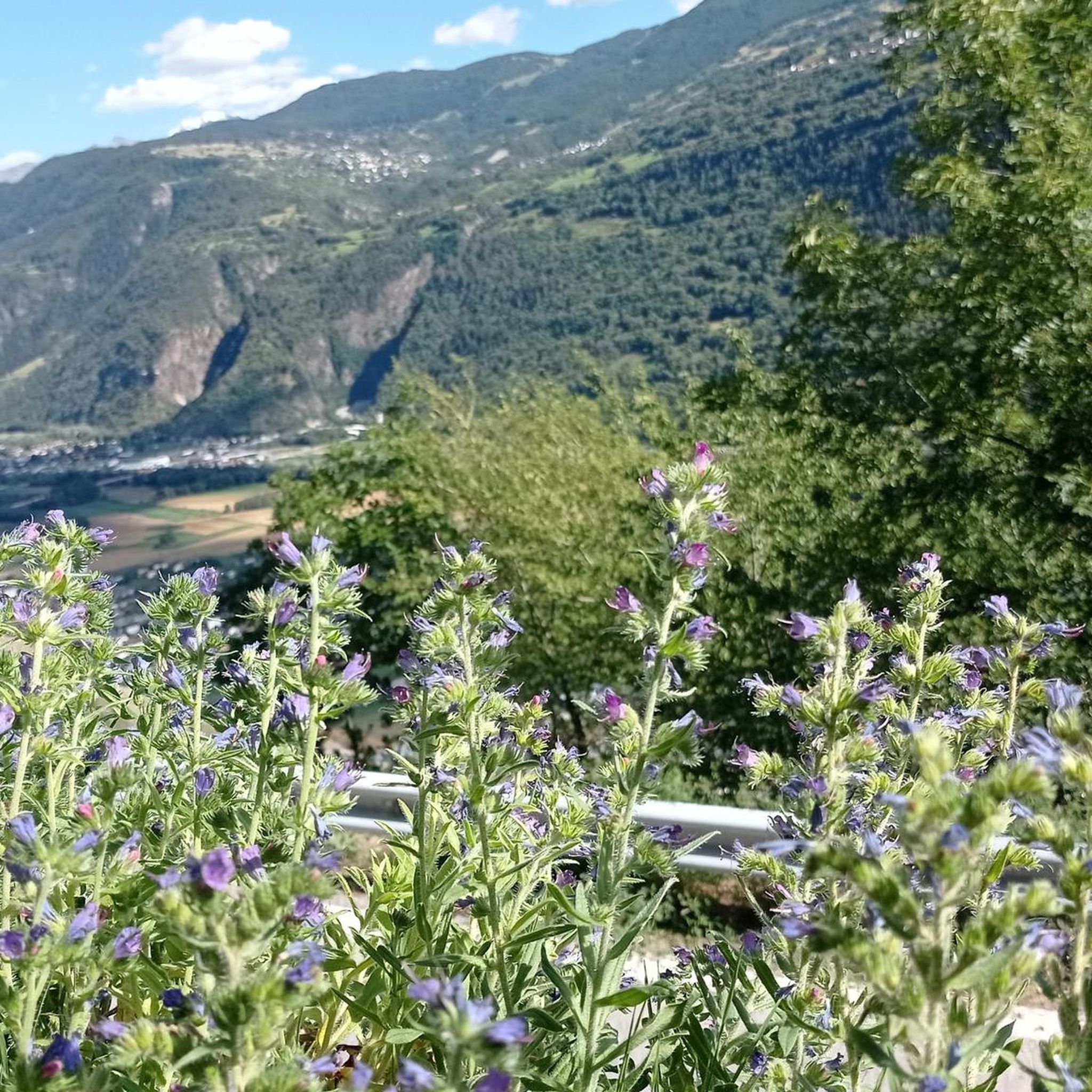
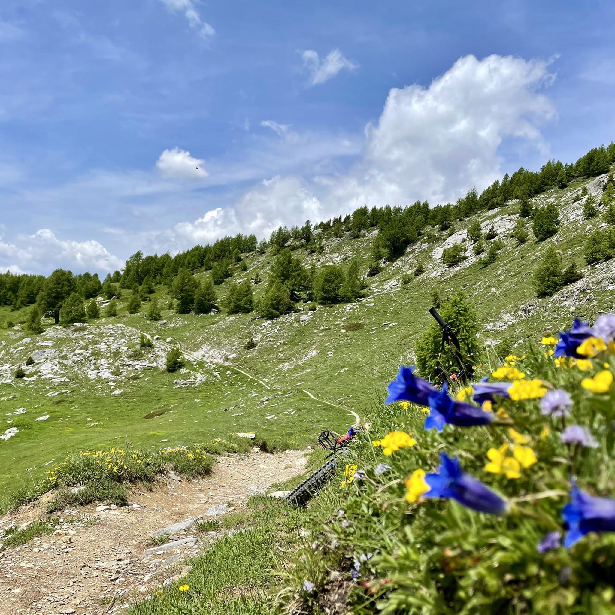
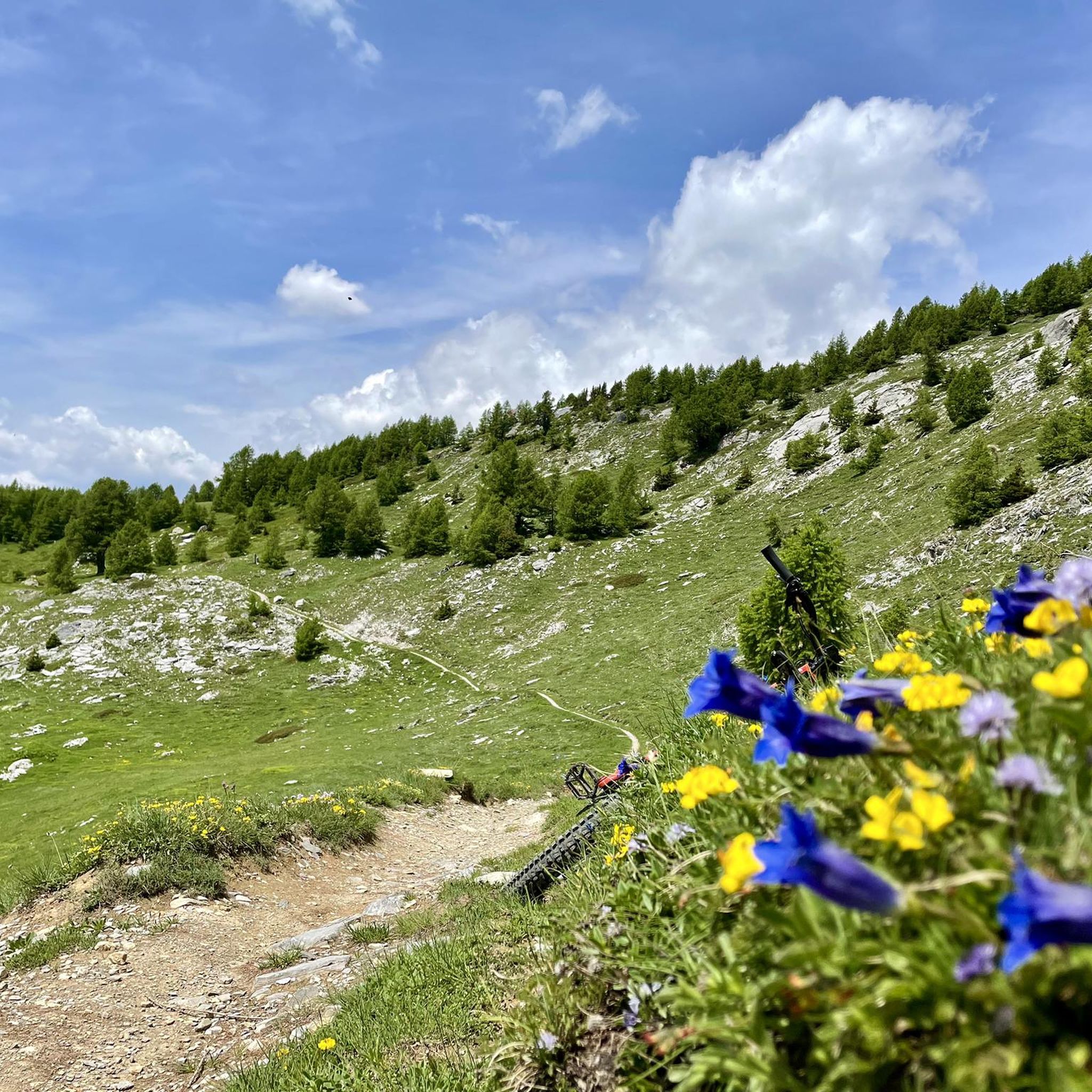
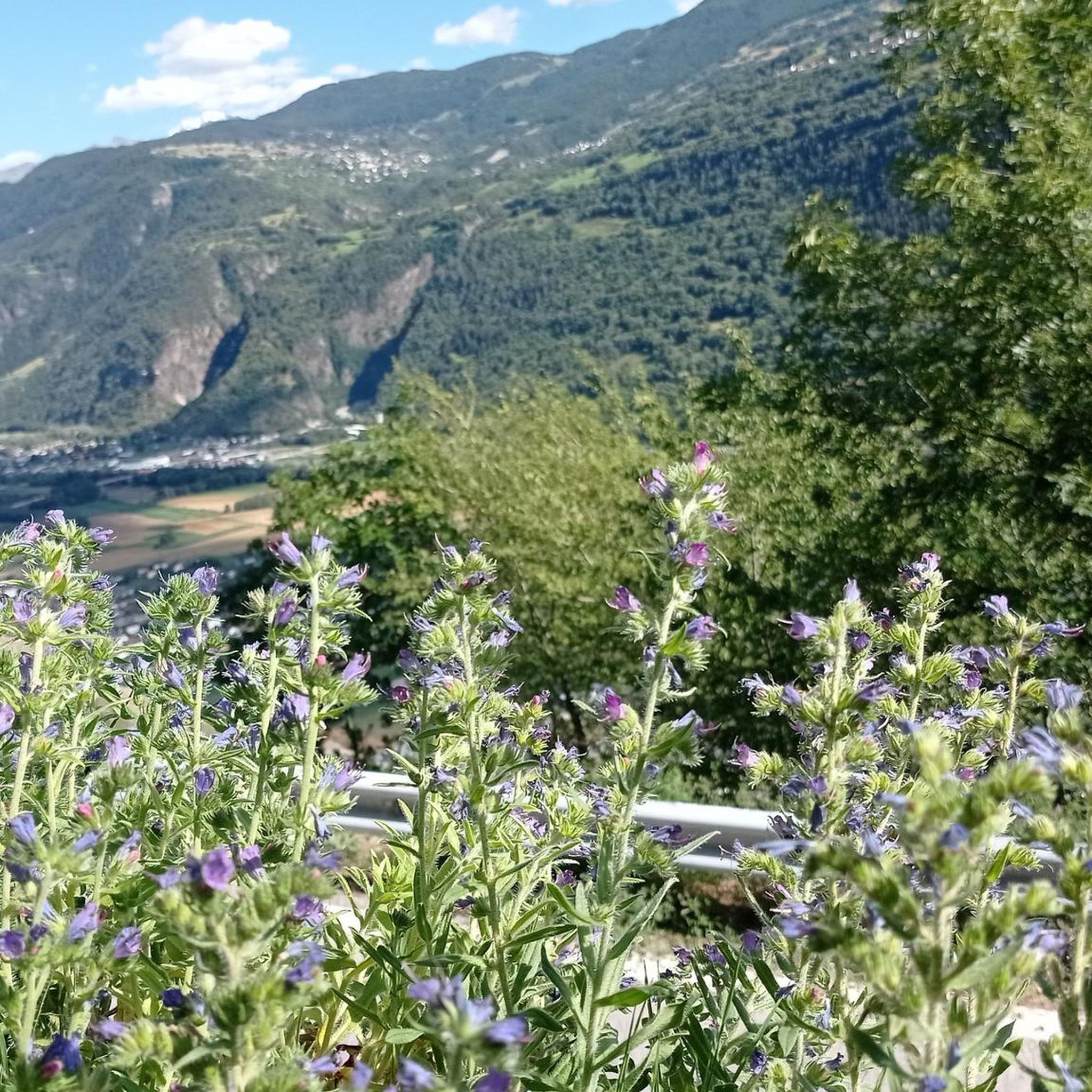
Tips from the Community


An absolute highlight. Closed in winter. Requires a head for heights and sure footing. A headlamp or mobile phone is helpful in the stone tunnel.
0
0

What a sophisticated water supply system back then!
0
0
This bridge is also an impressive structure and can be admired from all directions
0
0
A great trail with views of the Rhone Valley and the mountains behind it
1
0
I was lucky enough to marvel at more, less, or all of the viaduct as the clouds drifted by, changing the view every second. It's truly impressive what they built back then, given the circumstances. 👌🏻 There's a picnic area above.
1
0

works well, but the hiker should be aware that the train also runs outside the specified times
0
0
Frequently Asked Questions
How many hiking trails are available around Steg-Hohtenn?
Steg-Hohtenn offers a diverse network of over 15 hiking trails, catering to various skill levels. You'll find options ranging from easy strolls to challenging alpine routes.
What kind of landscapes can I expect to see while hiking in Steg-Hohtenn?
The region boasts incredibly varied landscapes due to its altitude range from 600 to 2200 meters. You can expect to see picturesque vineyard terraces, lush forests, mountain lakes like Grundsee, and even distant views of glaciers such as Langgletscher. The terrain shifts from warmer lower zones to higher alpine environments, offering a new vista around every corner.
Are there any easy or family-friendly hiking options in Steg-Hohtenn?
Yes, there are several easier options suitable for families. The Adventure Trail Steg-Hohtenn is particularly engaging, offering insights into local history and nature with interactive stations. Parts of this 3.5-kilometer path are even suitable for strollers, featuring picnic areas, playgrounds, and a marble run. While most routes are more challenging, there are 2 easy trails available.
What are 'Suonen Trails' and where can I experience them?
Suonen Trails follow historical irrigation channels unique to Valais. These paths offer a fascinating glimpse into traditional water management. You can experience them on routes like the Jolibach Suspension Bridge – Luogelkin Viaduct loop from Gampel or the Suonen Water Channel – Luogelkin Viaduct loop from Hohtenn. These trails often require good fitness and sure-footedness.
Are there any circular hiking routes in the Steg-Hohtenn area?
Yes, many of the region's trails are designed as loops, allowing you to start and end at the same point. A notable example is the Jolibach Suspension Bridge – Stägäru–Lüegjeru Suonen Trail loop from Steg-Hohtenn, which offers a scenic circular experience through the local landscape.
What are some interesting landmarks or viewpoints to discover on the trails?
Beyond the natural beauty, you can find several points of interest. The Adventure Trail Steg-Hohtenn features various stations with QR codes providing historical insights, old village structures, and scenic viewpoints. For broader views, consider exploring areas that offer glimpses of the Torrenthorn Summit Cross or the Swiss Alps Jungfrau-Aletsch UNESCO World Heritage Site.
What do other hikers say about the trails in Steg-Hohtenn?
The trails in Steg-Hohtenn are highly regarded by the komoot community, with an average rating of 4.6 out of 5 stars from over 300 reviews. Hikers frequently praise the diverse scenery, the well-maintained paths, and the unique experience of the Suonen water channels.
Is public transport accessible for reaching hiking trailheads in Steg-Hohtenn?
Steg-Hohtenn is well-connected within the Valais region. Public transport options, including trains and buses, serve the main villages like Steg and Hohtenn, making it convenient to reach various starting points for hikes, including the famous Lötschberg South Ramp Trail.
Are there any challenging mountain hikes for experienced hikers?
Absolutely. Steg-Hohtenn offers 8 difficult trails, many of which venture into higher alpine environments. Routes like the Stägäru–Lüegjeru Suonen Trail – Suonen Water Channel loop from Gampel-Steg provide a demanding experience, requiring good fitness and sure-footedness, and sometimes even alpine experience.
What is the best time of year to go hiking in Steg-Hohtenn?
The hiking season typically runs from spring through autumn. The varied altitude means that while lower areas might be pleasant in early spring, higher alpine routes are best enjoyed from late spring to early autumn. The region's 'Mediterranean climate' in some areas can extend the comfortable hiking period.
Are there any specific trails that offer views of mountain lakes or glaciers?
Yes, the diverse terrain of Steg-Hohtenn includes access to stunning natural features. While specific routes might vary, many trails in the higher regions or those extending into adjoining valleys like Lötschental offer opportunities to see mountain lakes such as Grundsee and distant views of glaciers like Langgletscher.
Most popular routes around Steg-Hohtenn
Most popular attractions around Steg-Hohtenn

Get inspired with the komoot mobile app


Explore more
Browse the best Hikes in other regions.
