The best mountain hikes around Steg-Hohtenn
4.6
(8)
102
hikers
9
hikes
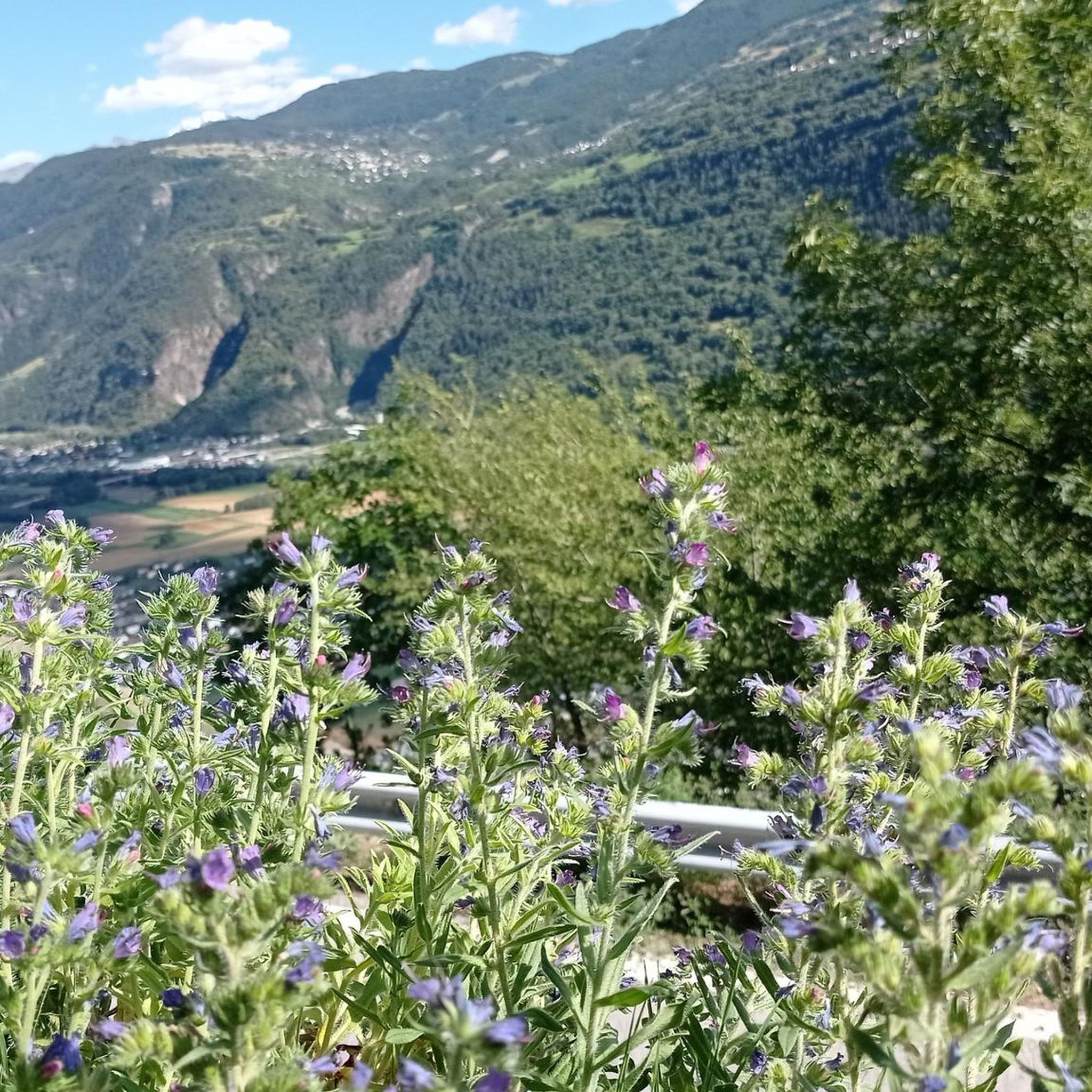
Mountaineering routes around Steg-Hohtenn traverse a diverse landscape, ranging from 600 to 2200 meters above sea level. The region is characterized by varied terrain, encompassing picturesque vineyard terraces, rugged alpine environments, and the southern entrance to the scenic Lötschental valley. Natural features include the dramatic Dalaschlucht gorge with its 35-meter waterfall and the alpine allure of glaciers like the Langgletscher.
Best mountaineering routes around Steg-Hohtenn
- The most popular mountaineering route is Wiwanni Hut – Wiwannihorn (3,001 m) loop from Ausserberg…
Last updated: October 1, 2026
40
hikers
9.80km
07:29
1,070m
1,070m
Hard mountaineering route. Very good fitness required. Sure-footedness, sturdy shoes and alpine experience required.
4.8
(4)
8
hikers
6.30km
01:51
180m
180m
Easy mountaineering route. Great for any fitness level. Easily-accessible paths. Suitable for all skill levels.

6
hikers
13.3km
06:04
830m
830m
Hard mountaineering route. Very good fitness required. Sure-footedness, sturdy shoes and alpine experience required.
8
hikers
5.90km
03:33
490m
490m
Hard mountaineering route. Good fitness required. Sure-footedness, sturdy shoes and alpine experience required.
3
hikers
13.8km
04:42
680m
680m
Moderate mountaineering route. Good fitness required. Mostly accessible paths. Sure-footedness required.
Get access to more routes and recommendations from other explorers.
Already have an account?
Our route recommendations are based on thousands of hikes, rides, and runs completed by other people on komoot.
Start today with a free account
Your next adventure awaits.
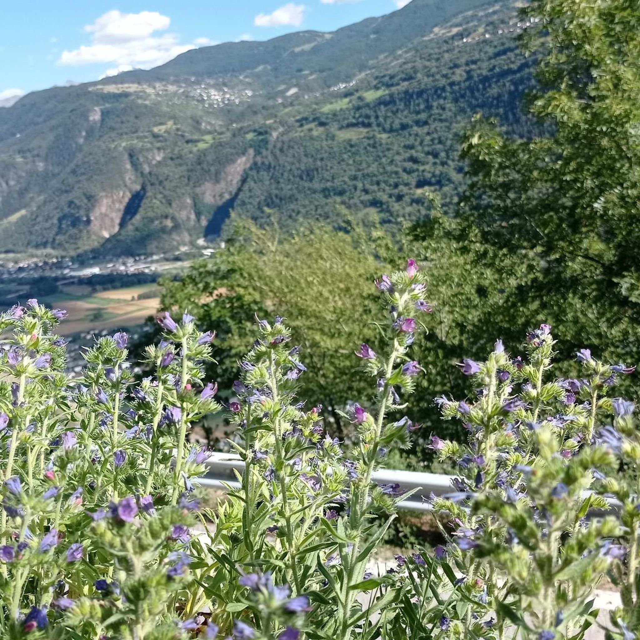
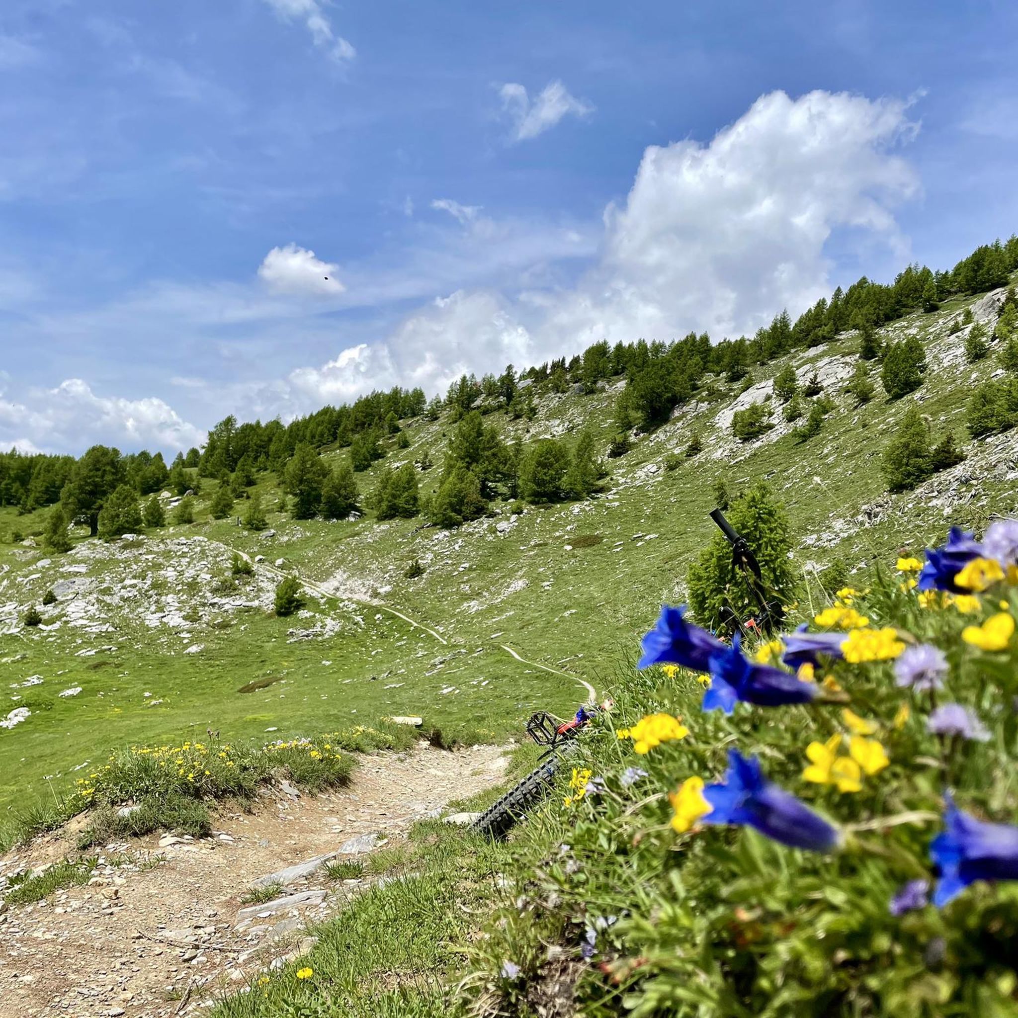
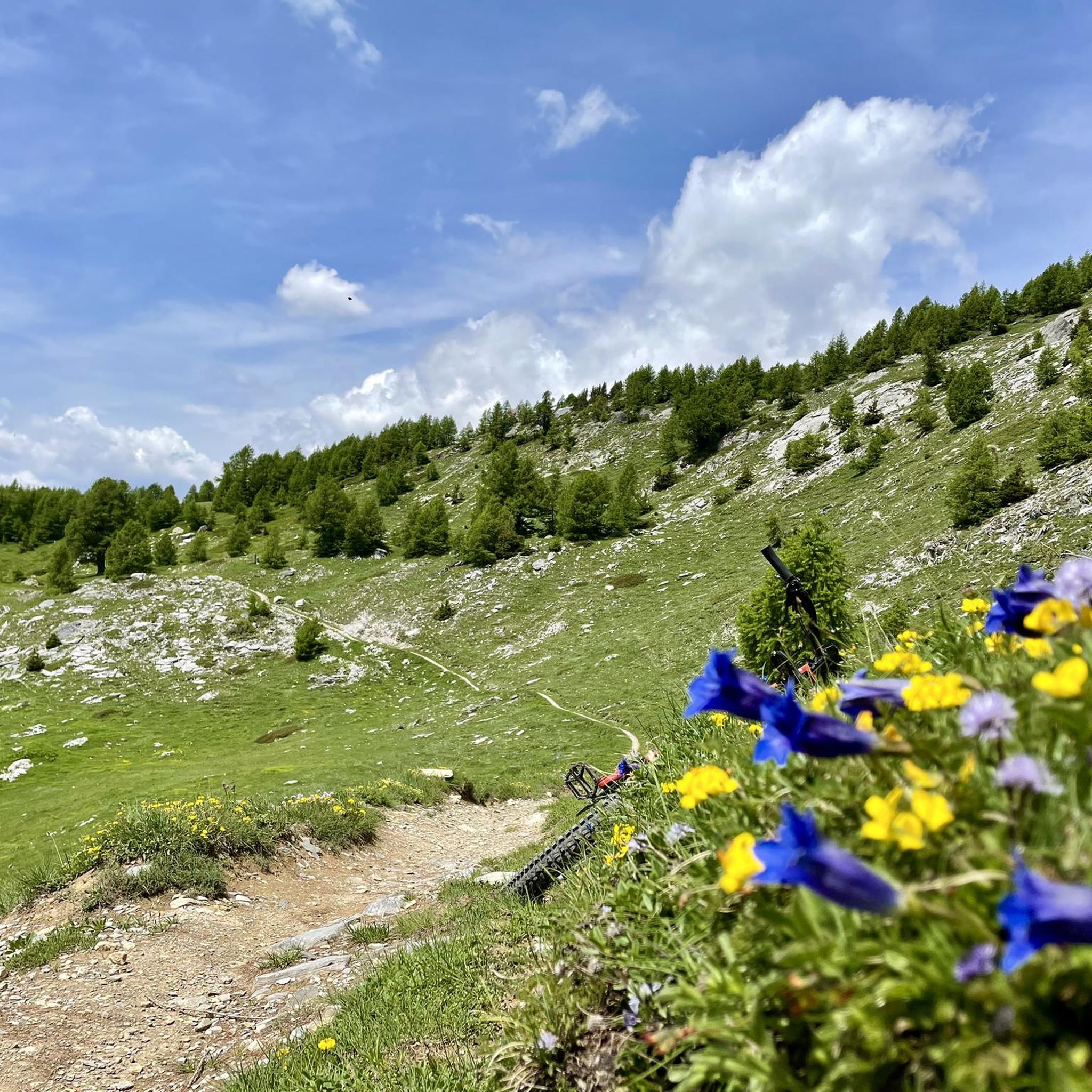
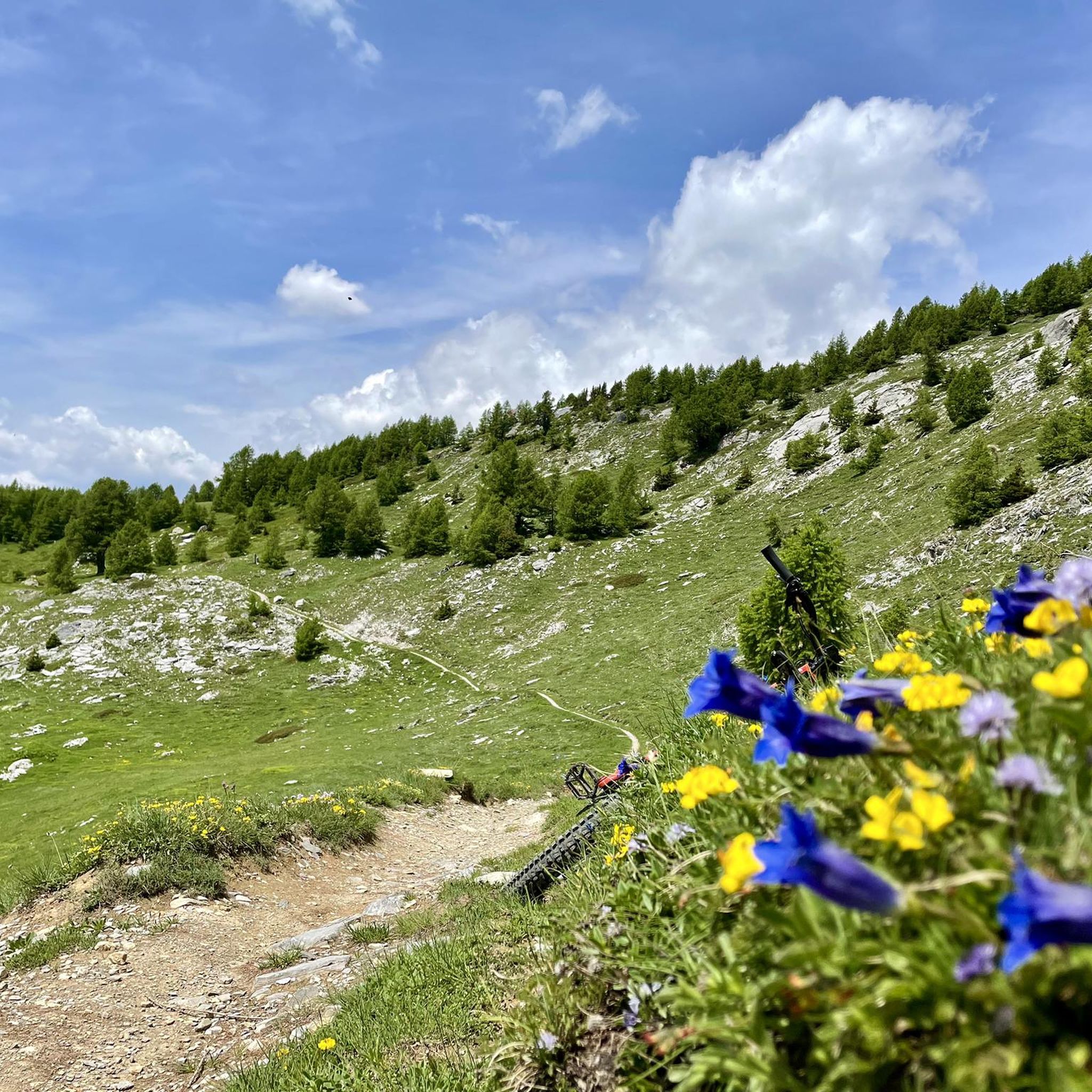
Tips from the Community

The "Stand" is one of the region's landmarks. It is the highest point on the Moosalp high plateau and offers you an unbelievable panoramic view over the entire Upper Valais and twelve four-thousand-meter peaks. The "Swing the World" swing on the Moosalp promises fun and freedom high above the peaks. Amidst the impressive mountain landscape, you gently swing towards the sky and immerse yourself in an unforgettable experience. Leave everyday life behind, feel the wind in your hair, and enjoy the breathtaking view.
2
0

The inn has up to 80 seats in the dining room and additionally a large sun terrace as well as a lounge area. It is only open during the summer season. Further information and opening hours can be found here: https://www.dorbia.ch/unser-restaurant
2
0

Small chapel with the best view of the Lötschental and the Bietschhorn
1
0
Wonderfully situated, high above the Lötschental, easily accessible by cable car from Wiler
0
1
Wonderful mountain house, with friendly staff, you can stay in simple rooms and the food was also wonderful
2
0


This valley is a must-see
1
0
Frequently Asked Questions
What are the difficulty levels of mountaineering routes in Steg-Hohtenn?
The mountaineering routes around Steg-Hohtenn offer a range of difficulties. While most of the routes listed are classified as difficult, there is at least one easy route available, such as the Stand Viewpoint – Lake Breitmatten loop from Moosalp. This variety ensures options for different experience levels, from challenging alpine expeditions to more leisurely paths.
What natural features or landmarks can I expect to see on mountaineering routes?
Steg-Hohtenn is rich in diverse natural features. You can expect to encounter dramatic landscapes like the Dalaschlucht (Dala Gorge) with its impressive 35-meter waterfall, picturesque vineyard terraces, and rugged alpine environments. The region is also home to mountain lakes like Lake Breitmatten and glaciers such as the Langgletscher in the broader Lötschental region.
How can I access the mountaineering routes using public transport?
Several routes are accessible via public transport. For instance, the Wiwanni Hut – Wiwannihorn (3,001 m) loop from Ausserberg starts near the Ausserberg railway station. The Hohtenn train station also serves as a starting point for the scenic Lötschberg south ramp hiking trail, providing good public transport links to the area's trail network.
Is parking available near the trailheads?
Yes, parking is generally available near popular trailheads, especially for routes starting from villages or accessible points like Moosalp. For example, routes like the Brunegghorn Viewpoint – Augstbordhorn Summit loop from Moosalp typically have parking facilities at their starting points.
What is the best time of year for mountaineering in Steg-Hohtenn?
The region experiences a Mediterranean climate, making late spring through early autumn ideal for mountaineering. The diverse altitudes mean that while lower trails might be accessible earlier, higher alpine routes are best enjoyed from June to September when snow has melted and conditions are more stable. Always check local weather and trail conditions before heading out.
Are there family-friendly mountaineering routes?
Yes, there are options suitable for families. The region offers a range of experiences, from challenging alpine expeditions to easier paths. The Stand Viewpoint – Lake Breitmatten loop from Moosalp is an easy route that could be suitable for families. Additionally, the 3.5-kilometer Adventure Trail in Steg-Hohtenn provides an interactive journey with picnic spots and viewpoints, perfect for a family outing.
Can I bring my dog on the mountaineering routes?
Many trails in the Steg-Hohtenn region are dog-friendly, allowing you to enjoy the mountains with your canine companion. However, it's always advisable to keep your dog on a leash, especially in areas with livestock or wildlife, and to check specific trail regulations before you go. Ensure your dog is fit for the chosen route's difficulty and length.
Are there places to eat or stay near the mountaineering routes?
Yes, you'll find options for refreshments and accommodation. For example, the Mountain restaurant Dorbia Moosalp – Moosalp Restaurant loop from Moosalp passes by mountain restaurants like Mountain restaurant Dorbia Moosalp. The villages in the region, such as Steg and Hohtenn, also offer various dining and lodging choices.
What is the typical duration or length of mountaineering routes?
The routes vary significantly in length and duration. For instance, the Wiwanni Hut – Wiwannihorn (3,001 m) loop from Ausserberg is about 9.9 km (6.2 miles) and takes around 7 hours 29 minutes. Shorter, easier routes like the Stand Viewpoint – Lake Breitmatten loop from Moosalp are 6.3 km (3.9 miles) and can be completed in about 1 hour 51 minutes. More challenging routes can extend up to 12.9 km (8 miles) or more.
What do other mountaineers enjoy the most about mountaineering in Steg-Hohtenn?
The area is highly rated by the komoot community, with an average score of 4.5 stars from over 10 reviews. Mountaineers often praise the diverse terrain, from vineyard terraces to rugged alpine environments, and the expansive views from summits like the Torrenthorn Summit Cross, which offers panoramic vistas of iconic peaks including the Matterhorn and Mont Blanc.
Are there any circular mountaineering routes in the area?
Yes, many of the mountaineering routes in Steg-Hohtenn are designed as loops, allowing you to experience varied scenery without retracing your steps. Examples include the Wiwanni Hut – Wiwannihorn (3,001 m) loop from Ausserberg and the Brunegghorn Viewpoint – Augstbordhorn Summit loop from Moosalp, both offering comprehensive tours of their respective areas.
Can I find mountain lakes along the mountaineering trails?
Absolutely. The region features several serene mountain lakes that can be incorporated into your mountaineering adventures. For instance, the Stand Viewpoint – Lake Breitmatten loop from Moosalp will lead you past Lake Breitmatten. Other notable lakes in the broader area include Schwarzsee (Lötschental) and Majingsee, offering beautiful spots for a break.
Most popular routes around Steg-Hohtenn
Most popular attractions around Steg-Hohtenn

Get inspired with the komoot mobile app


Explore more
Browse the best Mountain Hikes & Routes in other regions.
