The best road cycling routes around Lillianes
4.3
(185)
4,685
riders
67
rides
Road cycling routes around Lillianes are characterized by the mountainous terrain of the Aosta Valley, featuring significant elevation changes and scenic valley roads. The region offers a mix of challenging climbs leading to high-altitude destinations and more moderate routes that traverse lower valleys and pass by historical sites. Road cyclists can expect varied landscapes, from forested slopes to open mountain views, with routes often following river courses or ascending towards alpine passes.
Best road cycling routes around Lillianes
- The most…
Last updated: August 15, 2026
4.0
(3)
173
riders
75.4km
04:14
1,570m
1,570m
Hard road ride. Very good fitness required. Some segments of this route may be unpaved and difficult to ride.
63
riders
48.5km
03:07
1,420m
1,420m
Hard road ride. Very good fitness required. Mostly well-paved surfaces and easy to ride.

Sign up for free
11
riders
Moderate road ride. Good fitness required. Some segments of this route may be unpaved and difficult to ride.
52
riders
115km
06:26
2,170m
2,170m
Hard road ride. Very good fitness required. Some segments of this route may be unpaved and difficult to ride.
4.5
(2)
107
riders
51.2km
02:55
1,110m
1,110m
Hard road ride. Very good fitness required. Some segments of this route may be unpaved and difficult to ride.
Get access to more routes and recommendations from other explorers.
Sign up for free
Already have an account?
Our route recommendations are based on thousands of hikes, rides, and runs completed by other people on komoot.
Start today with a free account
Your next adventure awaits.
Login or Signup
Popular around Lillianes

Alta Via n. 1 of the Aosta Valley — a walk among Italian giants
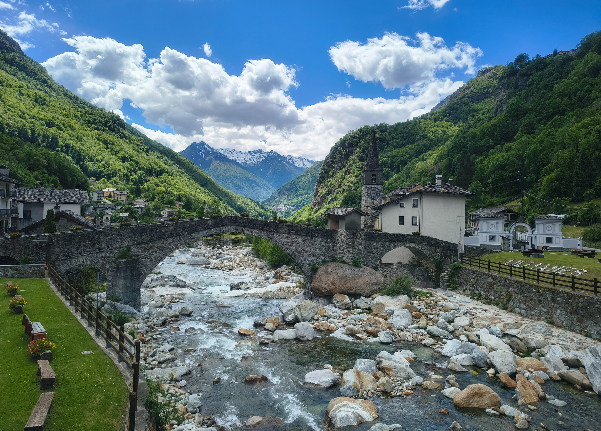
Three days on the Cammino Balteo – The historic Aosta Valley

Cammino Balteo – castles, vineyards and trails of the Aosta Valley

Paths, castles and views of Italy’s Aosta Valley – Cammino Balteo

A walk among Italian giants — Aosta Valley High Route 1
Hiking around Lillianes
MTB Trails around Lillianes
Running Trails around Lillianes
Cycling around Lillianes

Gravel biking around Lillianes
Other adventures around Lillianes


Tips from the Community

passable with all types of bikes, then entering Monavic park the path becomes dirt and leaves space only for gravel, mountain bike or e-bike
0
0

The Forte di Bard seen from the bridge over the Dora Baltea river offers one of the most iconic and photographed views in the Aosta Valley. This spectacular perspective captures the imposing, craggy fortress that dominates the village below and the river waters.
0
0

The hamlet of Le Bourg can be easily reached by bicycle, passing under the highway overpass. The village is worth a visit for its characteristic keeled-arch windows, frescoes, and ancient signs that tell the story of the town. Also not to be missed is the church of San Rocco, perched on a rocky outcrop and offering a panoramic view of the valley.
2
0

Stunning views of the Gressoney Valley
0
0

Making this climb to see the Matterhorn is worth it.
24
0

Beautiful bridge connecting Hone to Bard. Magnificent view of the fort.
2
0

While traveling along the Via Francigena, on the stretch from Arnad to Bard, you cross this characteristic three-arched pedestrian bridge. On the left orogr. area with a bench for rest.
1
0

The Roman road of the Gauls, built to connect Rome with the Rhone Valley, has in the Donnas section one of its most characteristic and spectacular points, carved into the living rock for a length of 221 meters. At a place where in antiquity the rocky promontory plunged into the waters of the Dora, the Romans launched a real challenge to nature by carving a living rock on which they could draw perfectly vertical walls and in whose womb they carved the roadbed. Exciting and unusual, here the Via delle Gallie gives its best by offering the spectacle of a vaulted passage 4 meters thick, 4 meters high and almost 3 meters wide which eloquently illustrates the amount of rock removed and shows all the refinement of a road engineering that has never been reached again until viaducts and modern tunnels. In the Middle Ages it served as the gate of the village, which was closed at night; the other defenses were natural: on one side the mountain and on the other the river. A fundamental road, which has been used a lot over the centuries, as evidenced by the deep ruts left by the passage of carts and the wear of the walking surface which has been patched and repaired at various points over time. A little further on, on the right, we recognize the excellent profile of a milestone, also spared in the rocky bank, which informs us of the distance to Augusta Praetoria (the current city of Aosta): XXXVI miles (about 54 km).
6
0
Frequently Asked Questions
How difficult are the road cycling routes around Lillianes?
Road cycling routes around Lillianes are known for their mountainous terrain and significant elevation changes, characteristic of the Aosta Valley. You'll find a mix of challenging climbs and more moderate routes. Out of 70 available routes, 21 are classified as difficult, 45 as moderate, and 4 as easy.
Are there any beginner-friendly road cycling routes in Lillianes?
Yes, while many routes are challenging, there are 4 routes classified as easy around Lillianes. These routes typically traverse lower valleys and may pass by historical sites, offering a gentler introduction to road cycling in the region.
Where can I find challenging road cycling routes near Lillianes?
Lillianes is ideal for challenging road cycling, with 21 difficult routes. For a substantial ascent, consider the Gressoney-La-Trinité Climb from Pont-Saint-Martin, which covers 46.9 miles (75.4 km) with over 1500 meters of elevation gain. Another demanding option is the Climb to Champorcher from Pont-Saint-Martin, a 30.2-mile (48.5 km) path with sustained climbing through mountain scenery.
What scenic views or attractions can I expect along road cycling routes in Lillianes?
Road cycling routes in Lillianes offer varied landscapes, from forested slopes to open mountain views. You can encounter several natural attractions. For instance, you might pass by beautiful lakes such as Lake Vargno, Black Lake, or the Barma Lakes. Some routes also lead through picturesque valleys with historical landmarks.
Are there any natural monuments or lakes to see while road cycling?
Yes, the region around Lillianes is rich in natural beauty. You can explore several natural monuments and lakes. Notable lakes include Lake Vargno, Black Lake, and the Barma Lakes. Some routes might also take you near areas like Burcina Park, known for its forested landscapes.
Can I find circular road cycling routes around Lillianes?
Yes, there are several loop routes available for road cyclists. An example is the Antonio Michela Zucco Memorial – Pont-Saint-Martin loop from Carema, a moderate 27.1-mile (43.6 km) trail that takes you through valley roads and local villages.
What is the best season for road cycling in Lillianes?
Given the mountainous terrain and potential for alpine passes, late spring through early autumn (May to October) is generally the best season for road cycling in Lillianes. During these months, the weather is typically more stable, and higher elevation roads are clear of snow, offering optimal conditions for exploring the region's diverse landscapes.
How many road cycling routes are available around Lillianes?
There are over 70 road cycling routes available around Lillianes, catering to various skill levels from easy valley rides to challenging mountain ascents.
What do other road cyclists say about the routes in Lillianes?
The road cycling routes in Lillianes are highly rated by the komoot community, with an average score of 4.4 stars from over 180 reviews. Cyclists often praise the varied terrain, from challenging mountain climbs to scenic valley loops, and the opportunities to pass by historical landmarks.
Are there opportunities for cafe stops on road cycling routes in Lillianes?
Many road cycling routes in the Aosta Valley, including those around Lillianes, pass through or near villages and towns. This provides ample opportunities for cafe stops, where you can refuel and enjoy local refreshments. Planning your route to include stops in places like Pont-Saint-Martin or other valley communities is recommended.
How can I find less crowded road cycling routes in Lillianes?
To find less crowded routes, consider exploring some of the lesser-known moderate or difficult trails that venture deeper into the valleys or higher into the mountains away from main thoroughfares. Early morning rides or mid-week excursions can also help you experience the region's tranquility. Komoot's route planner can help you discover less frequented paths.
Most popular routes around Lillianes
Most popular attractions around Lillianes

Get inspired with the komoot mobile app


Explore more
Browse the best Road cycling routes in other regions.
