The best running trails around Montjovet
4.7
(13)
2,355
runners
163
runs
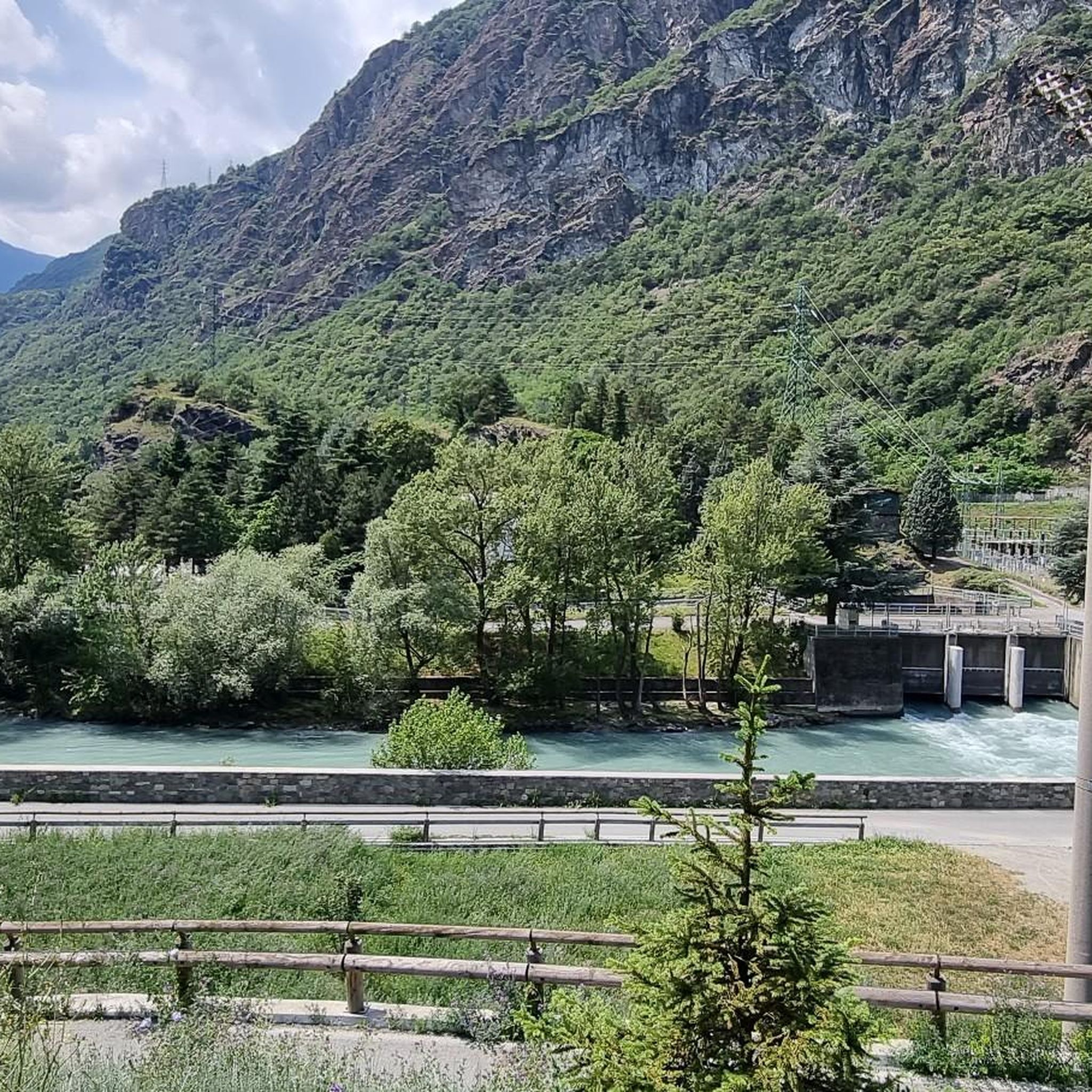
Jogging routes Montjovet are predominantly characterized by mountainous terrain, with numerous trails ascending through valleys and over cols. The region features significant elevation changes, offering challenging runs with rewarding views across diverse landscapes. Joggers can traverse hilly areas adorned with vineyards, extensive woods, and chestnut groves, alongside ancient irrigation canals known as "ru." The Dora Baltea river also carves its way through the valley, providing additional scenic running opportunities.
Best jogging routes around Montjovet
- The most popular jogging route is…
Last updated: May 24, 2026
83
runners
26.6km
04:18
1,500m
1,500m
Hard run. Very good fitness required. Sure-footedness, sturdy shoes and alpine experience required.
21
runners
13.9km
01:26
60m
60m
Moderate run. Good fitness required. Mostly paved surfaces. Suitable for all skill levels.

Sign up for free
15
runners
15.3km
01:46
300m
300m
Hard run. Very good fitness required. Sure-footedness, sturdy shoes and alpine experience required.
12
runners
10.3km
01:09
190m
190m
Hard run. Good fitness required. Sure-footedness, sturdy shoes and alpine experience required.
11
runners
9.37km
01:18
450m
450m
Hard run. Very good fitness required. Sure-footedness, sturdy shoes and alpine experience required.
Get access to more routes and recommendations from other explorers.
Sign up for free
Already have an account?
Our route recommendations are based on thousands of hikes, rides, and runs completed by other people on komoot.
Start today with a free account
Your next adventure awaits.
Login or Signup


Other adventures around Montjovet

Tips from the Community

In this stretch, the Via Francigena follows the ancient Roman route of the Via delle Gallie, where the paving retains the ruts of millennia-old carts. Connecting Augusta Prætoria to the Alpine passes, this strategic road shaped the landscape with rest stops and villages, some of whose names still indicate the distance in miles from the city. Traveling it today means experiencing a direct connection between the spiritual journey of medieval pilgrims and the engineering of the Romans.
0
0
Saint-Germain Castle (or Montjovet Castle), of uncertain origins, marked the history of the Aosta Valley, passing from the Savoy to the Challant family, before finally returning to the Savoy in 1438. Used as a military garrison by Amadeus VIII, it was abandoned in 1661 when the garrison was transferred to the Bard Fort. Completing the site is the Church of Saint-Germain: a small Romanesque building that, through frescoes and architectural details, preserves the spiritual memory of the local community.
1
0
The Arlaz Waterfall can be reached either from the Col d'Arlaz or from the Orbeillaz car park, following path number 31 which runs alongside the Rû d’Arlaz, a 14th-century artificial canal that channels the water of the Evançon stream and carries it to the municipalities of Challand, Emarese and Montjovet.
0
0

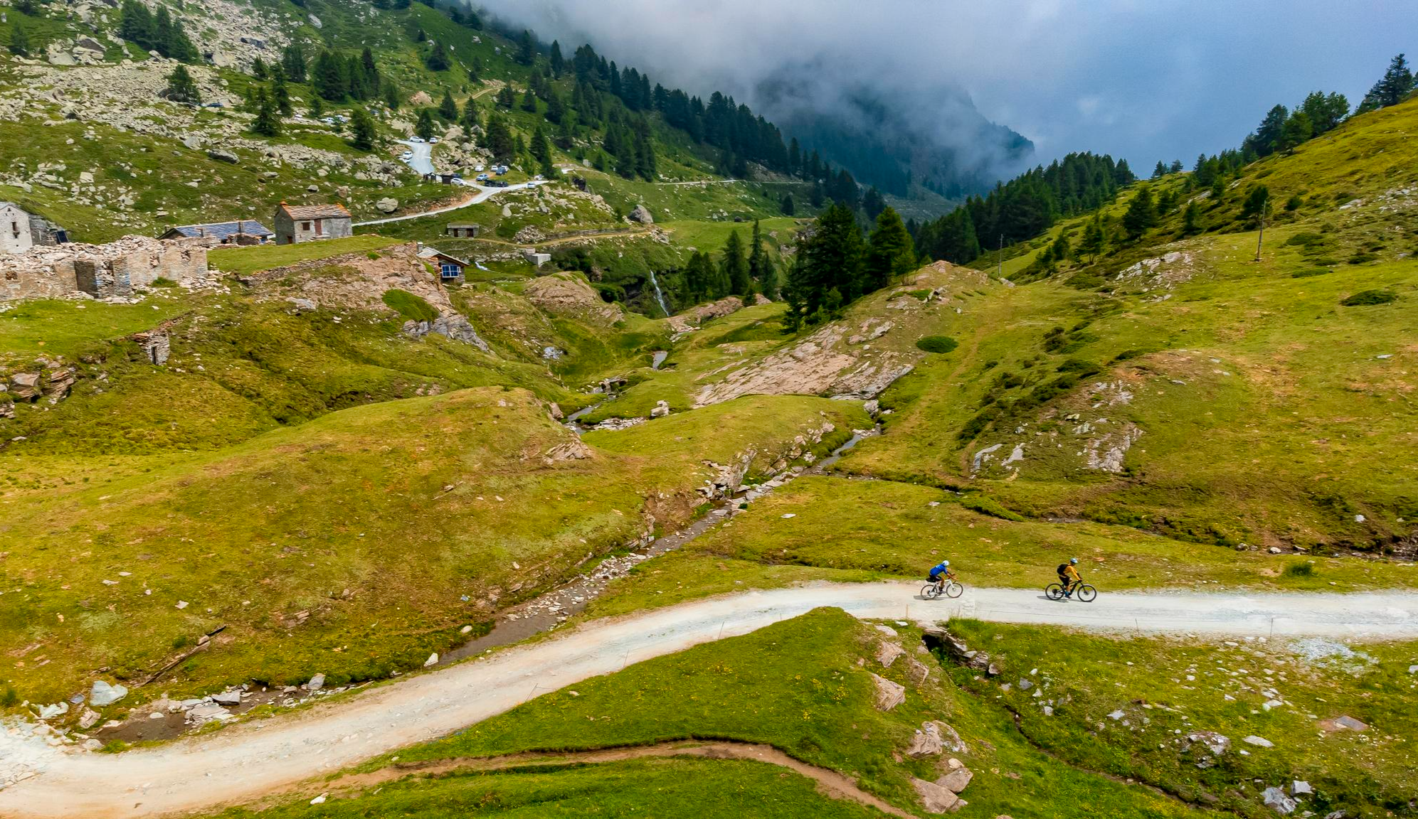
The Col d'Araz is located between Montjovet and Challand-Saint-Victor and offers a beautiful view of the central valley and the mountains. The climb on both sides has some sections with challenging slopes, but the beautiful views repay every effort.
1
0

The Castello di Verrès is an impressive medieval castle in the Aosta Valley, built in the 14th century by Yblet de Challant. The castle is known for its unique monolithic structure, which resembles a solid cube and differs from most other castles of the time which consisted of multiple buildings within a walled enclosure. Dominating the town of Verrès and the entrance to the Val d'Ayas, the castle has a military character that merges with elegant stone details that adorn the windows, doors and monumental mantelpieces. The castle has no corner towers nor a keep.
6
0
The Castello di Saint Germain is a medieval castle in ruins, located in the frazione of the same name in the municipality of Montjovet in the Valle d'Aosta, Italy. The castle is located at an altitude of 656 meters above sea level, on a rocky spur overlooking the gorge cut by the Dora Baltea. This strategic position made the castle one of the most important defenses in the region, together with the Fort of Bard and Châtel-Argent. It was easy to control and defend the village at the foot of the rock and the central valley of the Valle d'Aosta from here.
6
0

The castle played an important role in the history of the Aosta Valley. Few traces remain of its original appearance, and its exact date of construction is uncertain. Around the end of the 13th century, the Savoys became owners, replacing the Montjovet family. As with Bard, the pretext for this was the abuses that Feidino di Montjovet inflicted on the valley dwellers and travelers. Subsequently ceded to the Challant family, it returned to the Savoy domains in 1438, when Amadeus VII installed a garrison there. This garrison remained active until 1661, when it was transferred to the fort of Bard, leaving Montjovet Castle in ruins.
1
0

Nice castle 🏰 or at least what's left... the castle is now closed to the public but it's still a nice place to visit
3
0
Frequently Asked Questions
What kind of terrain can I expect on running routes around Montjovet?
Running routes in Montjovet are primarily characterized by mountainous terrain. You'll find numerous trails ascending through valleys and over cols, featuring significant elevation changes. The landscape offers a diverse running experience, traversing forested areas and open mountain slopes.
How many running routes are available in the Montjovet area?
There are over 115 running routes available around Montjovet, catering to various fitness levels. The komoot community has explored these trails over 1600 times, highlighting the region's popularity for runners.
Are there any easy or beginner-friendly running options in Montjovet?
Yes, while many routes are challenging, there are 5 easy running routes and 19 moderate options available. For a moderate run with scenic views, consider the View of Châtillon loop from Saint-Vincent, which is 5.1 miles (8.2 km) long.
What do other runners say about the trails in Montjovet?
The running trails in Montjovet are highly regarded by the komoot community, boasting an average rating of 4.75 stars from over 9 reviews. Runners often praise the challenging mountain passes, varied forested slopes, and the rewarding scenic viewpoints.
Are there circular running routes in Montjovet?
Yes, many running routes in Montjovet are circular, allowing you to start and finish at the same point. A popular example is the Rû de la Plaine – View of Châtillon loop from Saint-Vincent, an 8.9-mile (14.3 km) trail that offers varied terrain and viewpoints.
What kind of natural attractions can I see along the running routes?
Montjovet's running routes offer access to stunning natural features. You can discover beautiful waterfalls like the Arlaz Waterfall or the Lago Grande Waterfall. The region is also known for its impressive mountain peaks and viewpoints, such as the View from Colle du Lac Blanc.
Are there any historical or cultural landmarks near the running trails?
Yes, Montjovet and its surroundings are rich in history. You might encounter landmarks like the Virgin Mary statue on Monte Zerbion or the Statue of Christ of the Summits, which are often found along or near mountain trails, offering unique points of interest during your run.
What is the typical elevation gain on running trails in Montjovet?
Given the mountainous nature of the region, many running trails in Montjovet feature significant elevation gain. For example, the challenging Col Nache – Col d'Arlaz loop from Montjovet includes nearly 1500 meters of ascent.
Can I find running routes that offer panoramic views?
Absolutely. Montjovet is renowned for its scenic vistas. Many routes, such as the View of Châtillon loop from Saint-Vincent, are specifically highlighted for their breathtaking views overlooking towns and valleys.
Are there longer, more challenging running routes for experienced runners?
Yes, Montjovet is an excellent destination for experienced runners seeking a challenge. There are 91 difficult routes, including the 16.5-mile (26.6 km) Col Nache – Col d'Arlaz loop from Montjovet, which features substantial elevation gain through mountain passes.
What is the best time of year to go running in Montjovet?
The best time for running in Montjovet generally depends on the specific trail and your preference. Spring and autumn offer pleasant temperatures and vibrant scenery. Summer is ideal for higher altitude trails, while lower-elevation routes might be accessible in milder winter conditions, though caution is advised due to snow and ice in mountainous areas.
Most popular routes around Montjovet
Most popular attractions around Montjovet

Get inspired with the komoot mobile app


Explore more
Browse the best Running Trails & Routes in other regions.
