The best mountain hikes around Montjovet
4.5
(4)
19
hikers
3
hikes
Mountaineering routes Montjovet are situated in the Aosta Valley, offering diverse landscapes and challenging ascents amidst the formidable peaks of the Alps. The region features picturesque hilly terrain, ancient chestnut groves, and natural climbing walls within gorges. Montjovet's strategic location provides access to numerous mountaineering itineraries, with routes traversing varied terrain from verdant valleys to higher alpine environments.
Best mountaineering routes around Montjovet
- The most popular mountaineering route is View of the Lakes – Corno Bussòla loop from Praitou,…
Last updated: October 8, 2026
4.5
(2)
13
hikers
17.3km
07:47
1,130m
1,130m
Hard mountaineering route. Very good fitness required. Sure-footedness, sturdy shoes and alpine experience required.
4.5
(2)
4
hikers
15.5km
06:51
1,180m
1,180m
Hard mountaineering route. Very good fitness required. Sure-footedness, sturdy shoes and alpine experience required.

2
hikers
12.3km
06:41
1,220m
1,220m
Hard mountaineering route. Very good fitness required. Sure-footedness, sturdy shoes and alpine experience required.
Our route recommendations are based on thousands of hikes, rides, and runs completed by other people on komoot.
Start today with a free account
Your next adventure awaits.
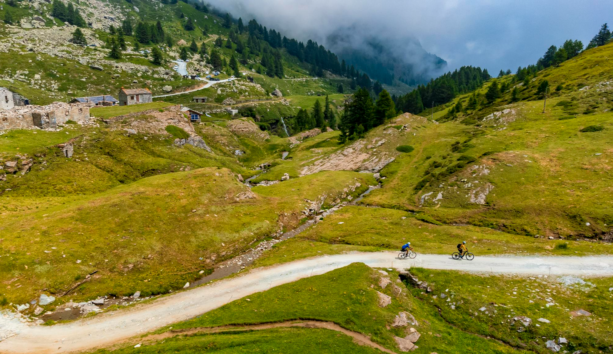
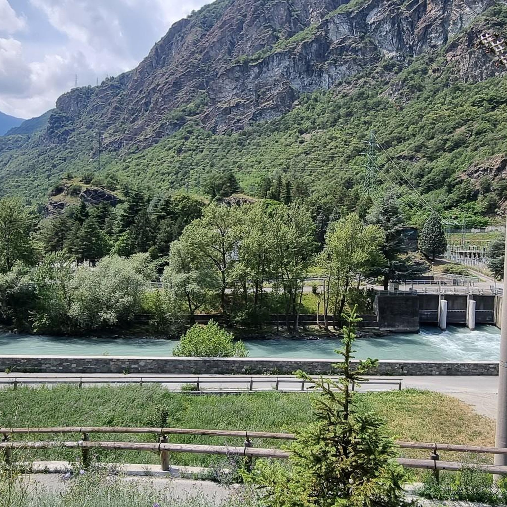
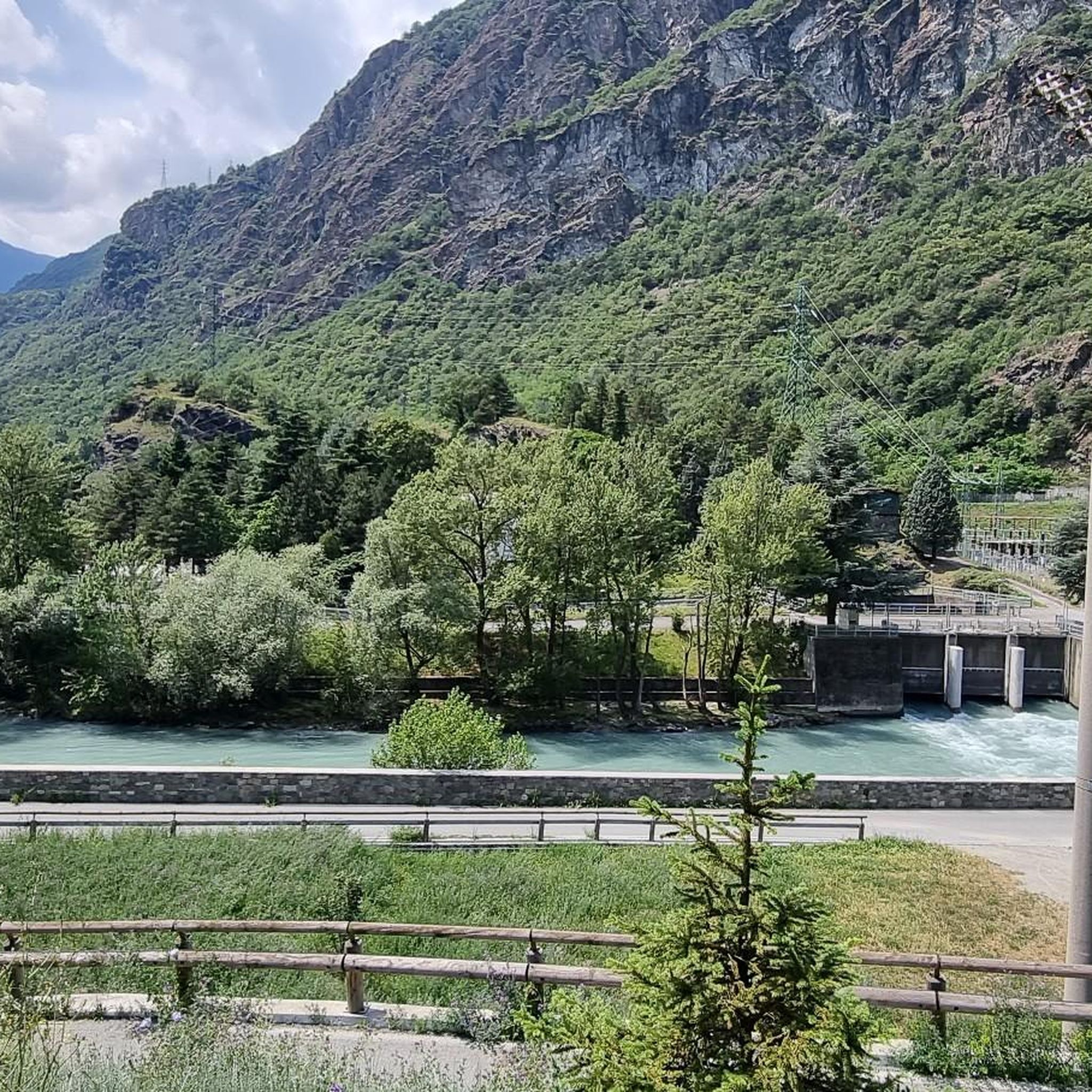
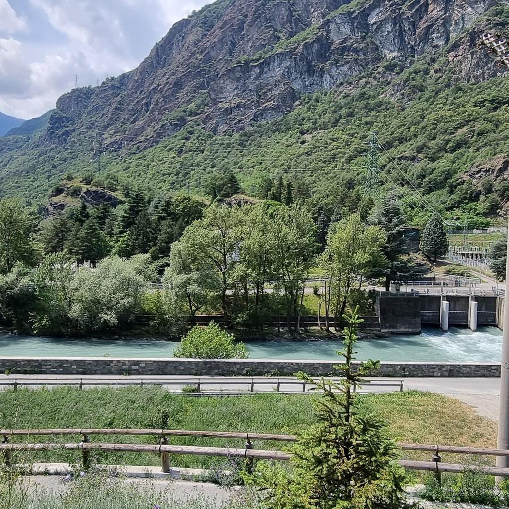

Other adventures around Montjovet

Tips from the Community

A slightly smaller lake among the others that are part of the Palasina lakes, at the beginning of a steep climb that also leads to the Long Lake
0
0
First lake you meet after Alpe Palasina, very beautiful and divided into two wide bodies of water
0
0

Loop tour starting from Estoul. Punta Palasinaz is the highest and most panoramic point with a 360° view of the peaks and the lakes below. (Difficulty E -- for the ridge EE)Stop and relax at the Arp refuge before the ascent or on the return of the loop from Punta Palasinaz
1
0

Impressive view in good weather
0
0


Splendid tour, challenging but spectacular for the view and places
0
0

I recommend going a little further from the refuge to reach the Palasina lakes passing through this little lake.
0
0
Frequently Asked Questions
What kind of mountaineering routes can I expect around Montjovet?
Montjovet offers a range of mountaineering routes, from challenging alpine ascents requiring good fitness and experience to more accessible paths. The terrain includes picturesque hilly areas, ancient chestnut groves, and natural climbing walls within gorges. You'll find routes traversing varied landscapes, from verdant valleys to higher alpine environments, often featuring significant elevation gain and panoramic views of alpine lakes and major peaks like Monte Rosa.
Are there any moderate mountaineering routes available in Montjovet?
While many routes around Montjovet are considered difficult, there is at least one moderate option. For example, the Snow-Covered Mountain Peak loop from Champorcher is an 8.7 km route with 724 meters of elevation gain, typically completed in about 4 hours 32 minutes.
What are some notable natural features or landmarks to see along the mountaineering routes?
Montjovet's routes often lead to stunning natural features. You can encounter high alpine lakes, such as those found on the View of the Lakes – Corno Bussòla loop from Praitou or the Lago della Serva – Lago di Leser loop from Covarey. The region also features ancient irrigation canals known as 'ru' that offer easy walking paths, and the nearby Lake Ville nature reserve provides tranquil natural environments. Don't miss the Arlaz Waterfall for a scenic stop.
Are there any historical sites or castles accessible from mountaineering trails in Montjovet?
Yes, the Montjovet area is rich in history. You can find medieval castles perched on strategic points that offer excellent vantage points. The ruins of the Saint-Germain Castle and Chenal Castle are accessible via paths that double as scenic hikes. While not directly on the mountaineering routes listed, nearby highlights include Verrès Castle and Forte di Bard, which are significant historical attractions in the wider region.
What do other mountaineers say about the routes in Montjovet?
The mountaineering routes around Montjovet are highly rated by the komoot community, with an average score of 4.8 stars from over 8 reviews. Mountaineers often praise the challenging ascents, the beauty of the high alpine lakes, and the panoramic views of major peaks like Monte Rosa.
Are there any circular mountaineering routes around Montjovet?
Yes, several mountaineering routes in the Montjovet area are circular. Examples include the challenging View of the Lakes – Corno Bussòla loop from Praitou, the View of Monte Rosa loop from Antagnod, and the Lago della Serva – Lago di Leser loop from Covarey, all offering a complete loop experience.
What is the best time of year for mountaineering in Montjovet?
The Aosta Valley, where Montjovet is located, is generally best for mountaineering during the warmer months, typically from late spring to early autumn. This period offers more stable weather conditions and less snow at higher elevations, making routes more accessible. Always check local weather forecasts and trail conditions before heading out.
What kind of views can I expect on the mountaineering routes?
The elevated positions of many trails and historical sites around Montjovet offer spectacular views of the Aosta Valley. You can expect panoramic vistas of the Dora Baltea Valley, glimpses of distant peaks like Monte Rosa from certain routes, and stunning views of alpine lakes.
What level of fitness and experience is required for mountaineering in Montjovet?
Many mountaineering routes in Montjovet are considered difficult, requiring good fitness, sure-footedness, sturdy shoes, and alpine experience. However, there are also more accessible paths for less experienced hikers. Always check the difficulty grade of a specific route before attempting it.
Are there any routes that offer views of Monte Rosa?
Yes, the View of Monte Rosa loop from Antagnod is a 9.1 km trail specifically designed to lead through alpine meadows and offer views of the majestic Monte Rosa massif. Other high-alpine routes in the region may also provide glimpses of this iconic peak.
Most popular routes around Montjovet
Most popular attractions around Montjovet

Get inspired with the komoot mobile app


Explore more
Browse the best Mountain Hikes & Routes in other regions.
