The best running trails around Challand-Saint-Anselme
4.6
(15)
2,779
runners
165
runs
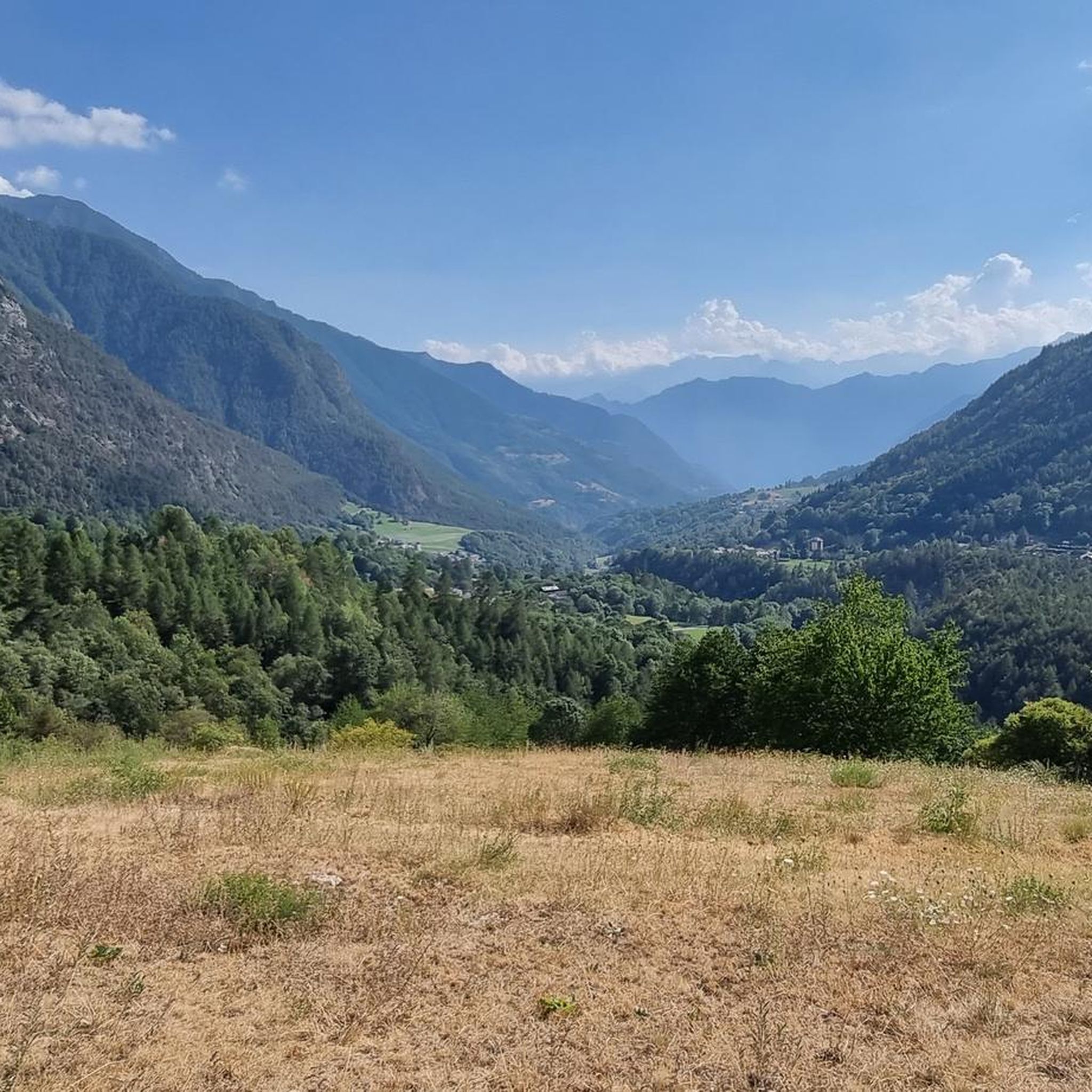
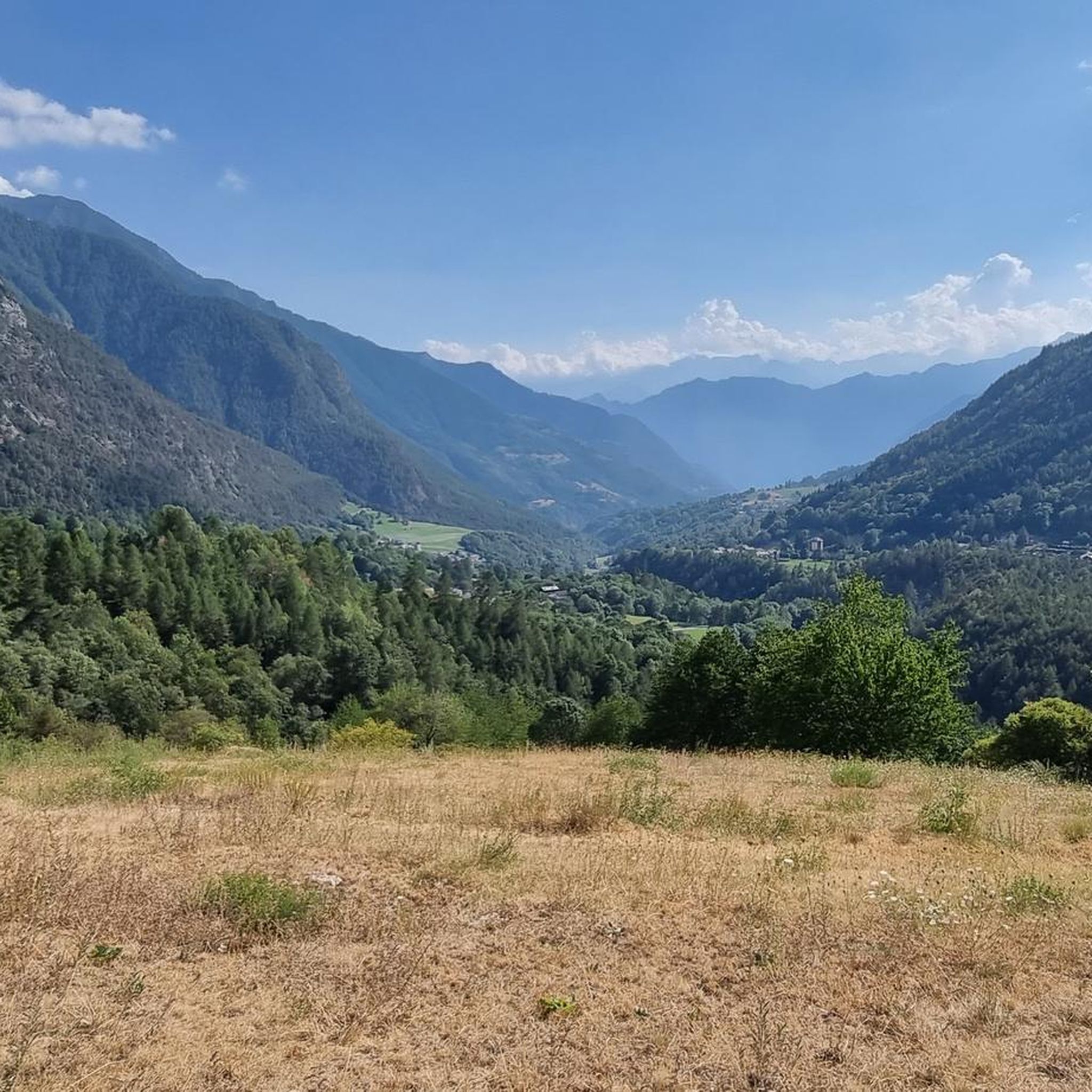
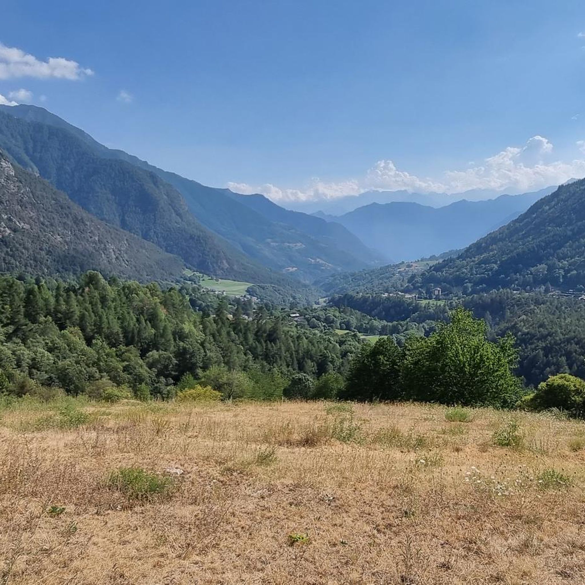
Jogging routes around Challand-Saint-Anselme, located at an altitude of 1,030 meters in Italy's Aosta Valley, traverse a varied landscape. The region features thick chestnut forests, expansive meadows, and alpine scenery at higher elevations. The terrain includes paths along the Evançon stream and the Ru d'Arlaz, an ancient irrigation channel, offering diverse running experiences.
Best jogging routes around Challand-Saint-Anselme
- The most popular jogging route is Testa Comagna – Belvedere sul Col Tzecore loop from Emarèse, a 5.9 miles (9.5 km)…
Last updated: July 4, 2026
5.0
(1)
158
runners
26.0km
04:12
1,400m
1,400m
Hard run. Very good fitness required. Sure-footedness, sturdy shoes and alpine experience required.
15
runners
12.3km
01:47
460m
460m
Hard run. Very good fitness required. Sure-footedness, sturdy shoes and alpine experience required.

Sign up for free
16
runners
15.3km
01:46
300m
300m
Hard run. Very good fitness required. Sure-footedness, sturdy shoes and alpine experience required.
4.0
(1)
10
runners
9.45km
01:44
620m
620m
Hard run. Very good fitness required. Sure-footedness, sturdy shoes and alpine experience required.
8
runners
10.2km
01:25
470m
470m
Hard run. Very good fitness required. Sure-footedness, sturdy shoes and alpine experience required.
Get access to more routes and recommendations from other explorers.
Sign up for free
Already have an account?
Our route recommendations are based on thousands of hikes, rides, and runs completed by other people on komoot.
Start today with a free account
Your next adventure awaits.
Login or Signup


Tips from the Community

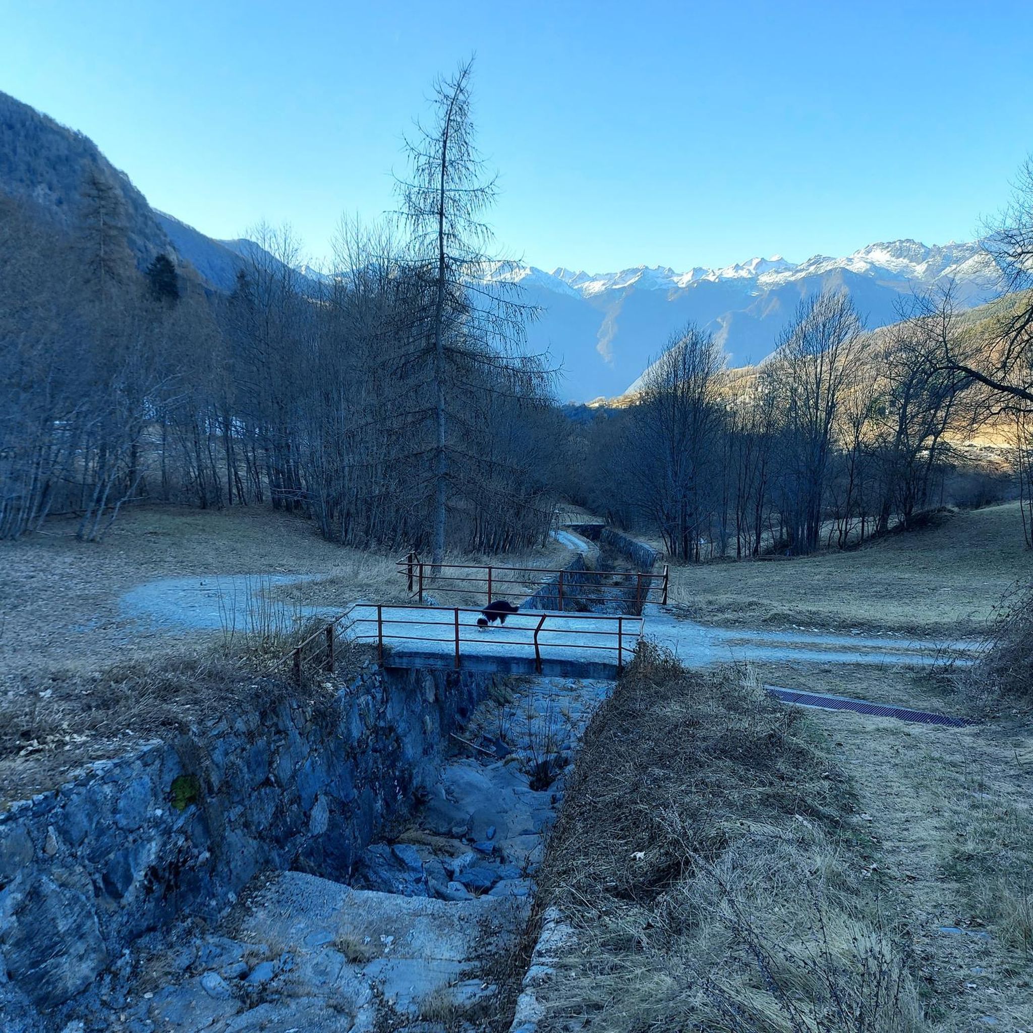
The Arlaz Waterfall can be reached either from the Col d'Arlaz or from the Orbeillaz car park, following path number 31 which runs alongside the Rû d’Arlaz, a 14th-century artificial canal that channels the water of the Evançon stream and carries it to the municipalities of Challand, Emarese and Montjovet.
0
0
Brusson is a renowned mountain resort, renowned for its tranquil atmosphere and Alpine landscapes. Its heart is the lake, an easily accessible body of water perfect for relaxing walks, picnics, and outdoor activities. In winter, the town becomes a hub for cross-country skiing.
1
0

Alpine pass with a large green plateau, where we find the path that climbs to Testa di Comagna
0
0


A green lung with benches in the middle of a hill
0
0

The Col de Joux is a picturesque pass connecting the Ayas Valley to the central valley. The gradients to reach it, both from Saint-Vincent and from Brusson, are always manageable, but never negligible. The word Joux likely derives from a pre-Latin term meaning wooded hill. Others, however, maintain a Latin connection to the word Jugum, meaning yoke, and hence hill.
2
0
The Col d'Araz is located between Montjovet and Challand-Saint-Victor and offers a beautiful view of the central valley and the mountains. The climb on both sides has some sections with challenging slopes, but the beautiful views repay every effort.
1
0
Frequently Asked Questions
How many running routes are available in Challand-Saint-Anselme?
Challand-Saint-Anselme offers a wide selection of running routes, with over 120 trails available for exploration. This includes options for various difficulty levels, from easy jogs to challenging mountain runs.
What kind of terrain can I expect on the jogging routes in Challand-Saint-Anselme?
The running routes in Challand-Saint-Anselme feature a diverse landscape. You can expect to jog through thick chestnut forests, expansive meadows, and lush pastures. At higher elevations, the scenery transitions to more alpine terrain, offering varied experiences from gentle paths to strenuous ascents.
Are there running routes suitable for beginners or those looking for an easy jog?
Yes, Challand-Saint-Anselme provides options for all fitness levels. While many routes are challenging, there are 6 easy routes and 17 moderate routes available, perfect for beginners or those seeking a more relaxed running experience. The Ru d'Arlaz, for instance, is known as a 'Healthy route' with a reduced slope.
Can I find circular running routes in the area?
Absolutely. Many of the running trails around Challand-Saint-Anselme are designed as loops, allowing you to start and finish at the same point. Examples include the challenging Testa Comagna – Belvedere sul Col Tzecore loop from Emarèse and the scenic Lago di Brusson loop from Fontaine.
Are there any scenic points or landmarks I can see while running?
Yes, the routes often lead to or pass by notable landmarks. You might encounter historical sites like the restored Ruvère Mill along the Evançon stream, or catch glimpses of ancient castles such as the Castello di Graines in the distance. The trails also offer panoramic views of impressive peaks like Corno Bussola and Becca Torché.
Are there any waterfalls visible from the running trails?
Yes, while jogging along the Ru d'Arlaz through the Arlaz forest, you can glimpse the beautiful Arlaz waterfall, a natural attraction around which local legends are woven.
What do other runners say about the trails in Challand-Saint-Anselme?
The running routes in Challand-Saint-Anselme are highly regarded by the komoot community, boasting an average rating of 4.6 stars from over 10 reviews. More than 2,000 runners have explored the varied terrain, often praising the stunning mountain vistas and serene forest paths.
Are the running routes family-friendly?
Some routes are indeed family-friendly. The Ru d'Arlaz, for example, is described as a 'Healthy route' with a reduced slope, making it accessible for various fitness levels and even suitable for strollers, allowing families to enjoy a jog together.
Are there running routes with exercise stations?
Yes, the Ru d'Arlaz path is equipped with 15 exercise stations. This allows you to combine your jog with strength and flexibility training, adding another dimension to your outdoor workout.
What is the best time of year for running in Challand-Saint-Anselme?
Challand-Saint-Anselme, nestled at 1,030 meters, offers a refreshing mountain environment. While specific recommendations depend on personal preference, the warmer months typically provide ideal conditions for exploring the diverse trails through forests and meadows. Higher alpine routes are best enjoyed when free of snow.
Can I find routes that offer views of the surrounding mountains?
Many routes provide spectacular mountain views. For instance, the Panorama of the Cottian Alps – Col de Joux loop from Emarèse offers vistas of the Cottian Alps. Higher elevation trails, particularly those near peaks like Corno Bussola and Becca Torché, provide panoramic views of the Ayas Valley and its glaciers.
Are there any lakes accessible via running trails?
Yes, some running routes will take you near beautiful lakes. A popular option is the Lago di Brusson loop from Fontaine, which winds around the scenic Lago di Brusson. Other nearby lakes include Lake Ville and the Pinter Lakes.
Most popular routes around Challand-Saint-Anselme
Most popular attractions around Challand-Saint-Anselme

Get inspired with the komoot mobile app


Explore more
Browse the best Running Trails & Routes in other regions.
