The best walks and hikes around Challand-Saint-Anselme
4.4
(360)
1,773
hikers
41
hikes
Hiking around Challand-Saint-Anselme, nestled in the Val d'Ayas, offers diverse terrain ranging from thick chestnut forests and verdant meadows to rugged mountainous areas. The village itself is situated at an elevation of 1,030 meters, with higher peaks like Corno Bussola and Becca Torché framing the landscape. The region is characterized by lush valleys carved by the Evançon torrent and features captivating water elements such as the "Blue Lake" and the Arlaz waterfall.
Best hiking trails around Challand-Saint-Anselme
- The most popular…
Last updated: September 28, 2026
4.8
(16)
63
hikers
Moderate hike. Good fitness required. Easily-accessible paths. Suitable for all skill levels.
4.7
(20)
58
hikers
6.48km
03:28
600m
600m
Moderate hike. Good fitness required. Mostly accessible paths. Sure-footedness required.

4.8
(8)
57
hikers
16.5km
04:47
360m
360m
Moderate hike. Good fitness required. Mostly accessible paths. Sure-footedness required.
4.6
(25)
96
hikers
9.67km
04:15
620m
620m
Moderate hike. Good fitness required. Mostly accessible paths. Sure-footedness required.
4.7
(13)
56
hikers
4.45km
02:34
450m
450m
Moderate hike. Good fitness required. Mostly accessible paths. Sure-footedness required.
Get access to more routes and recommendations from other explorers.
Already have an account?
Our route recommendations are based on thousands of hikes, rides, and runs completed by other people on komoot.
Start today with a free account
Your next adventure awaits.


Tips from the Community


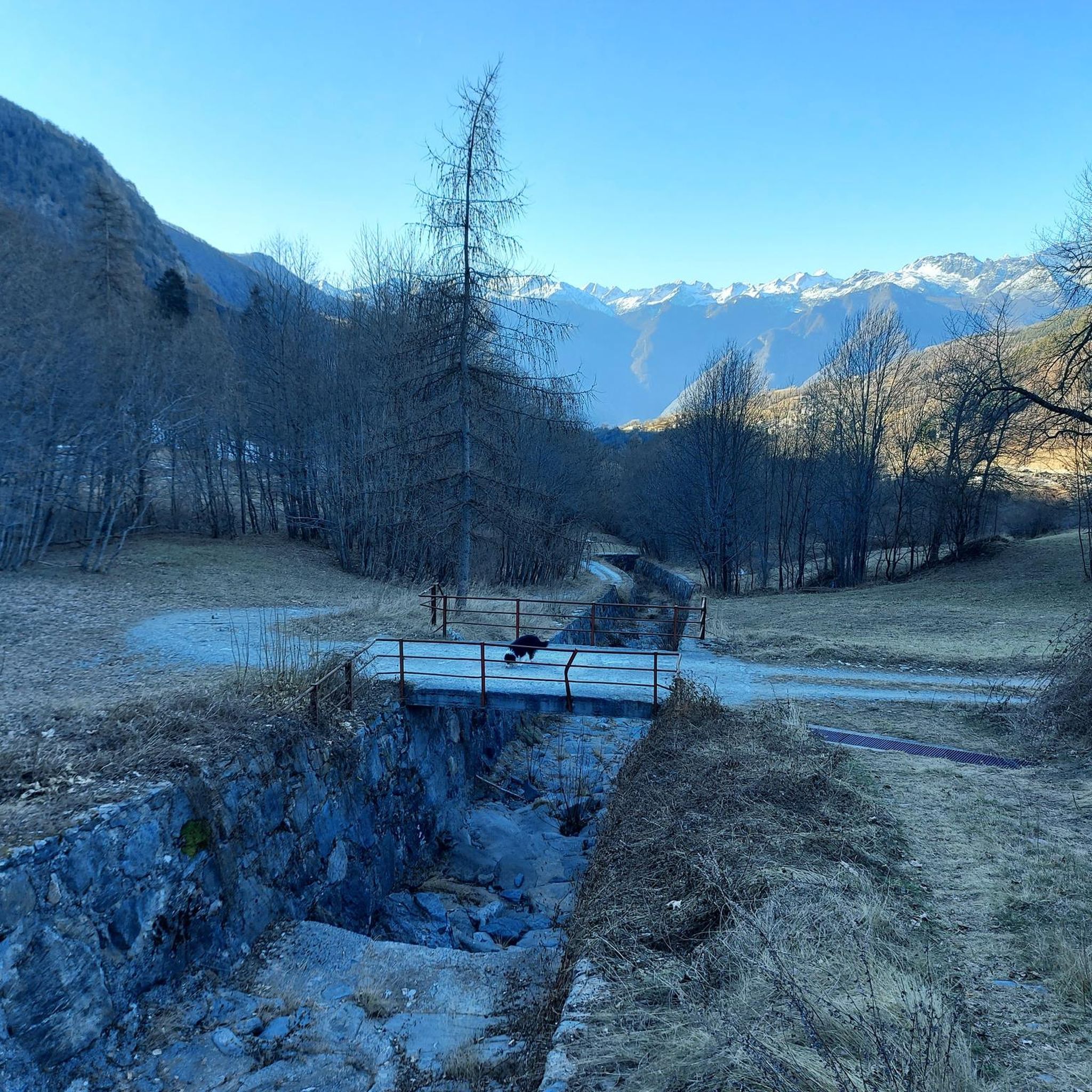
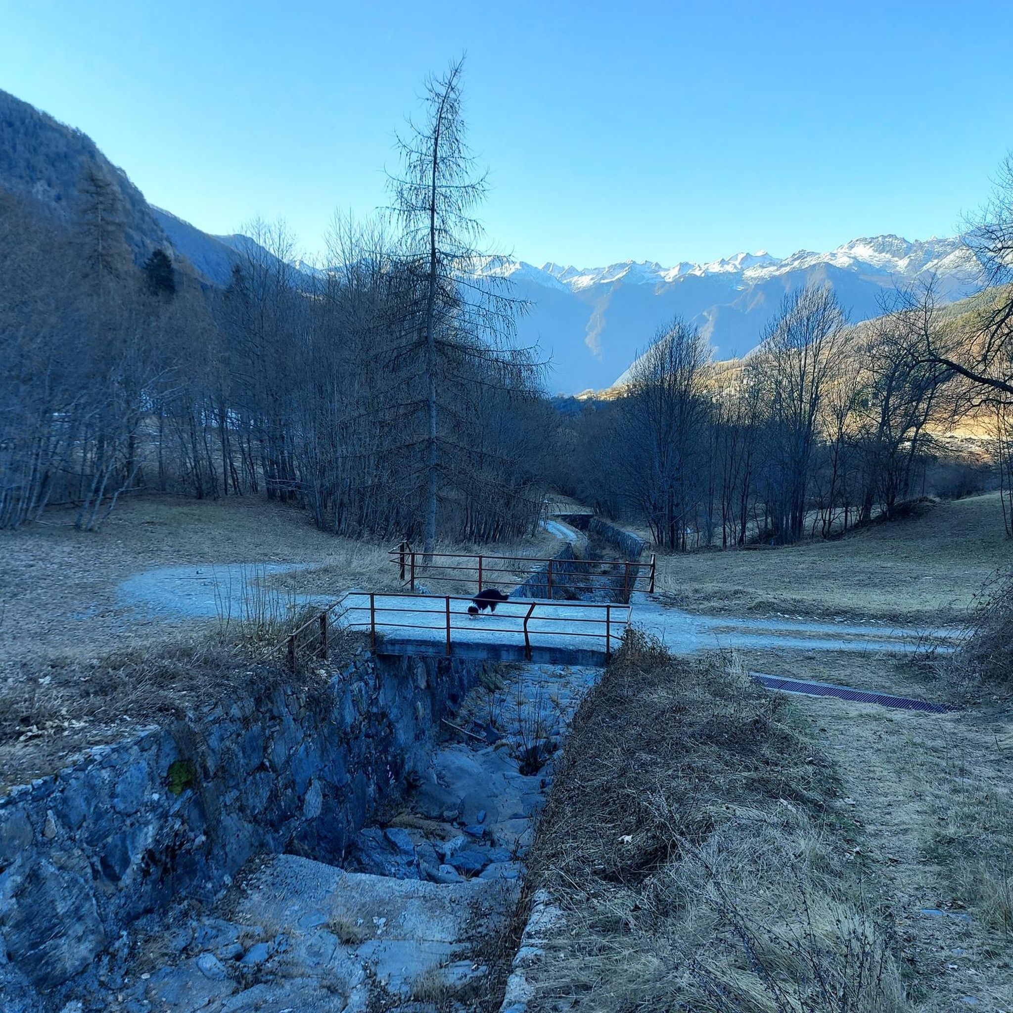
The Ru d'Arlaz is one of the ancient irrigation canals of the Aosta Valley, still used today to bring water to the valley's agricultural land. Flanked by a pleasant forest path, it offers an example of the ingenious hydraulic system developed between the 14th and 15th centuries.
0
0
The Cascata d'Arlaz is fed by the waters of the Ru d'Arlaz, a historic irrigation channel still used today for agriculture. When the channel is in operation, the waterfall creates a pleasant mist that makes this stretch of forest particularly cool, even on summer days.
0
0


Brusson is a renowned mountain resort, renowned for its tranquil atmosphere and Alpine landscapes. Its heart is the lake, an easily accessible body of water perfect for relaxing walks, picnics, and outdoor activities. In winter, the town becomes a hub for cross-country skiing.
1
0

Large green plateau where the path that connects Sommarese with Testa di Comagna passes
0
0
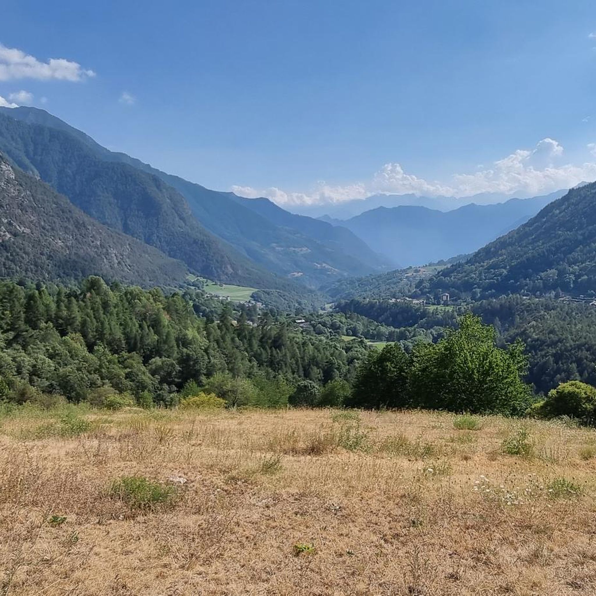
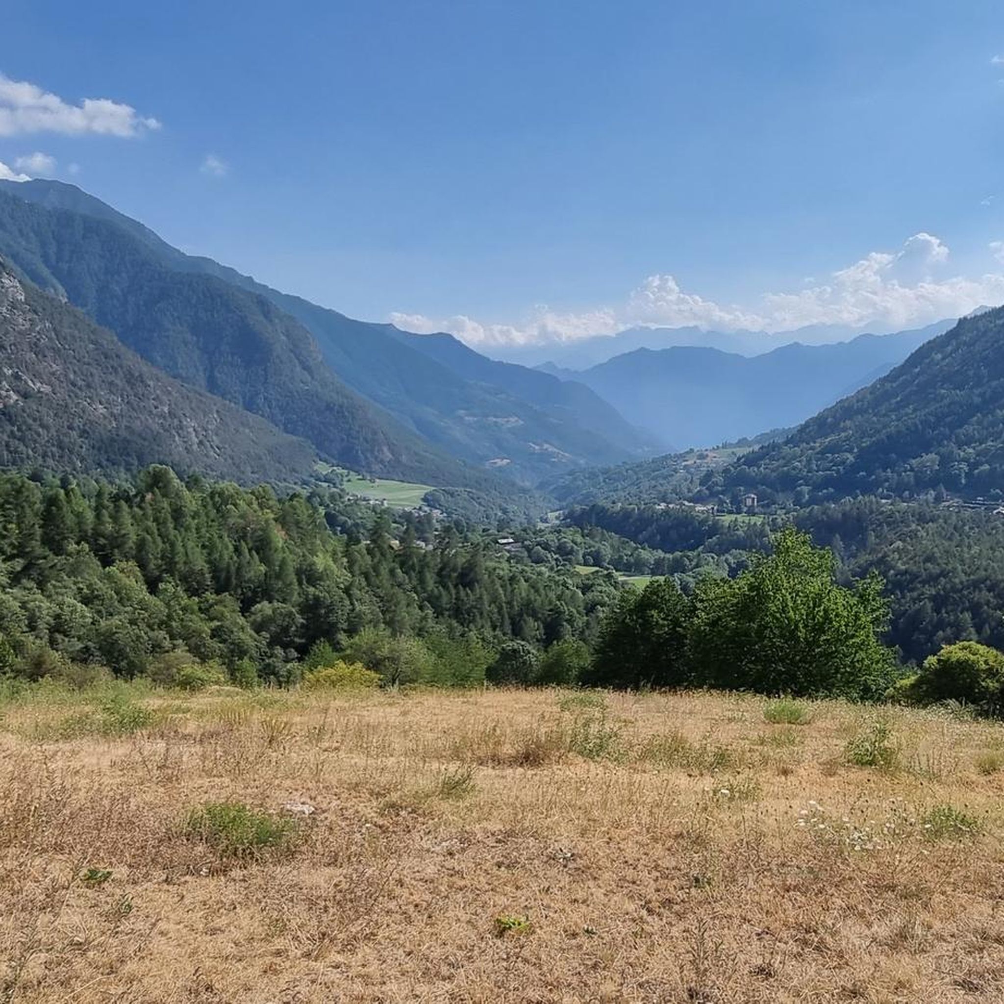
Alpine pass with a large green plateau, where we find the path that climbs to Testa di Comagna
0
0
A peak just above 2100 metres, it can be reached by following various easy forest paths above the hamlet of Sommarese.
0
0
Frequently Asked Questions
How many hiking trails are available in Challand-Saint-Anselme?
There are over 35 hiking trails around Challand-Saint-Anselme, offering a wide range of options for different skill levels. You'll find everything from gentle strolls to more demanding mountain treks.
What kind of terrain can I expect on hikes around Challand-Saint-Anselme?
The terrain around Challand-Saint-Anselme is incredibly diverse. You can expect to hike through thick chestnut forests, verdant meadows, and high alpine pastures. As you ascend, the landscape transitions into more rugged mountainous areas, framed by impressive peaks like Corno Bussola and Becca Torché.
Are there any family-friendly hiking options in Challand-Saint-Anselme?
Yes, Challand-Saint-Anselme offers several family-friendly hiking options. There are 4 easy trails suitable for those looking for less strenuous walks. The region's extensive network includes gentle strolls through forests and meadows, perfect for families.
Are there any circular hiking routes in Challand-Saint-Anselme?
Yes, many routes in the area are circular. For example, the View of Lake Brusson – Ru d'Arlaz Aqueduct loop from Challand-Saint-Anselme is a moderate 13.1 km loop that follows an ancient irrigation channel. Another option is the Arlaz Waterfall – Col d'Arlaz Plateau View loop from Challand-Saint-Anselme, which takes you past the Arlaz waterfall.
What natural attractions can I see while hiking in Challand-Saint-Anselme?
The region is rich in natural beauty. You can discover captivating water features like the Arlaz Waterfall, known for local folklore, and the flowing Evançon stream. Higher up, the 'Blue Lake' near Saint-Jacques-des-Allemands is famous for its intense blue hue. The landscape is also dominated by majestic peaks such as Corno Bussola and Becca Torché, offering breathtaking views.
What are the best seasons for hiking in Challand-Saint-Anselme?
The summer months transform Challand-Saint-Anselme into an 'open-air gym,' making it ideal for hiking, mountain biking, and trail running. The lush valleys and high alpine pastures are particularly inviting during this time. Spring and autumn also offer pleasant conditions with vibrant foliage or blooming flowers, though some higher trails might still have snow in early spring or see early snowfall in late autumn.
Are there any hikes that offer panoramic views of the Val d'Ayas?
Absolutely. Many trails provide splendid panoramic views. For instance, the Col Tzecore – Testa di Comagna Summit loop from Emarèse offers ascents to summits with expansive views of the surrounding Val d'Ayas. Monte Zerbion is also a well-regarded hike known for its invaluable panoramic vistas across the entire valley.
What do other hikers enjoy most about hiking in Challand-Saint-Anselme?
The area is highly rated by the komoot community, with an average score of 4.4 stars from over 290 reviews. Hikers often praise the diverse terrain, from thick chestnut forests to high alpine pastures, and the prominent water features like the Evançon stream and the Arlaz waterfall. The extensive network of trails, suitable for various ability levels, is also a frequently highlighted positive aspect.
Can I find historical or cultural points of interest along the trails?
Yes, many trails in the Val d'Ayas region incorporate historical sites. You can explore medieval castles, ancient settlements, and points of interest like the restored Ruvère Mill on the Evançon stream. The Monterosarandò trekking route, for example, guides visitors through areas featuring medieval castles, vineyards, and old mines, blending natural beauty with cultural discovery.
Is there public transport available to access hiking trails in Challand-Saint-Anselme?
While Challand-Saint-Anselme is accessible, specific public transport options directly to trailheads can vary. It's advisable to check local bus schedules or consider regional taxi services for reaching more remote starting points. The village itself is a good base for many routes.
Where can I find parking for hiking trails in Challand-Saint-Anselme?
Parking is generally available in and around Challand-Saint-Anselme, particularly near village centers or designated trailheads. For specific routes, it's recommended to check the individual tour descriptions on komoot, as they often provide details on parking availability at the starting point.
Are there any challenging hikes for experienced trekkers?
Yes, for experienced trekkers, there are 14 difficult routes available. The region's higher mountainous terrain, framed by peaks like Corno Bussola and Becca Torché, offers opportunities for more challenging hikes with significant elevation gains and rugged paths.
Most popular routes around Challand-Saint-Anselme
Most popular attractions around Challand-Saint-Anselme

Get inspired with the komoot mobile app


Explore more
Browse the best Hikes in other regions.
