The best mountain hikes around Saint-Oyen
4.8
(8)
104
hikers
9
hikes
Mountaineering routes Saint-Oyen are found in the Great Saint Bernard Valley, a region characterized by its diverse alpine landscape. Situated at an elevation of 1373 meters, Saint-Oyen offers varied environments, from sun-exposed meadows and pastures to lush green forests. The area provides access to challenging high-altitude terrain, including views of prominent peaks like the Grand Combin, numerous glaciers, and rocky summits. Its historical connection to the Great Saint Bernard Pass further defines the region's unique character for outdoor pursuits.
Best…
Last updated: May 23, 2026
30
hikers
20.4km
07:55
1,220m
1,220m
Hard mountaineering route. Very good fitness required. Sure-footedness, sturdy shoes and alpine experience required.
5.0
(4)
23
hikers
Hard mountaineering route. Good fitness required. Sure-footedness, sturdy shoes and alpine experience required.

Sign up for free
4.0
(2)
18
hikers
Hard mountaineering route. Good fitness required. Sure-footedness, sturdy shoes and alpine experience required.
13
hikers
16.4km
08:09
1,270m
1,260m
Hard mountaineering route. Very good fitness required. Sure-footedness, sturdy shoes and alpine experience required.
6
hikers
Hard mountaineering route. Good fitness required. Sure-footedness, sturdy shoes and alpine experience required.
Get access to more routes and recommendations from other explorers.
Sign up for free
Already have an account?
Our route recommendations are based on thousands of hikes, rides, and runs completed by other people on komoot.
Start today with a free account
Your next adventure awaits.
Login or Signup
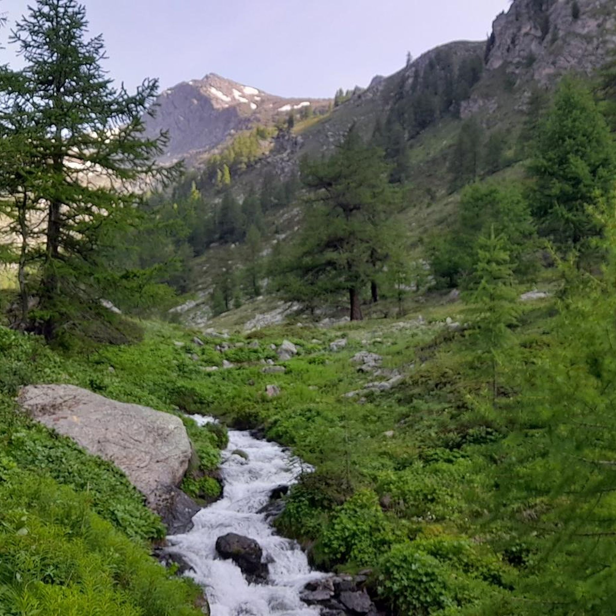
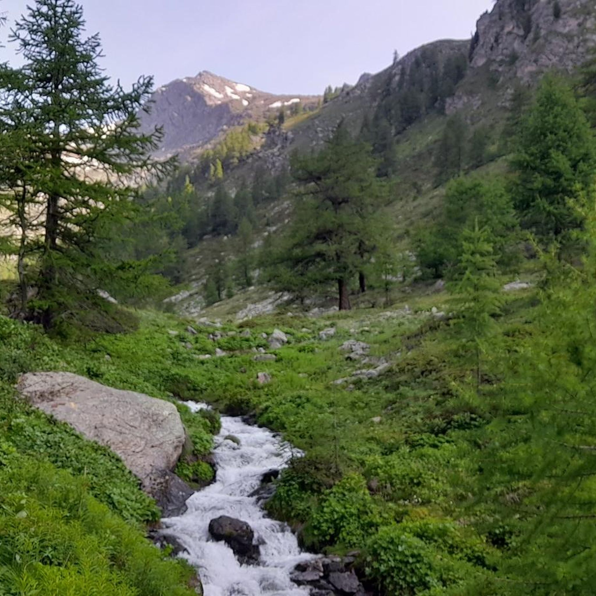
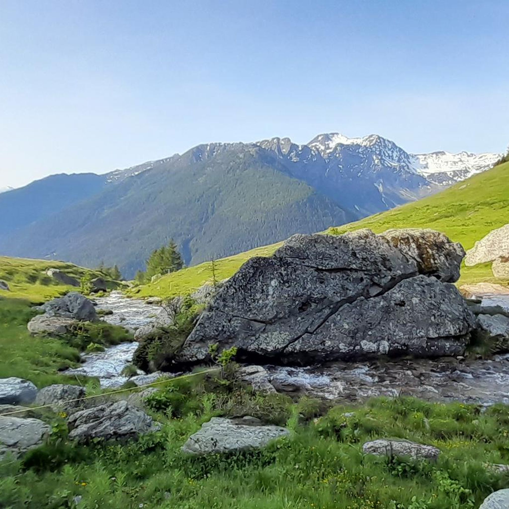
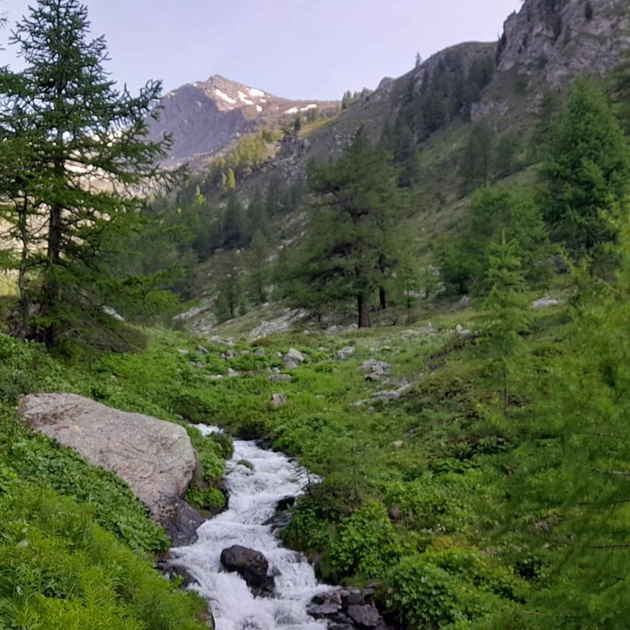

Tips from the Community

The highest road pass in the Aosta Valley and a place that has always fascinated the writer for its thousand-year history, the austere Mauritian hospice and the profound beauty of the landscape.
0
0
This climb is something incredible: it doesn't have difficult gradients but it's long, very long, endless. You reach a point where you almost hate it: you've been cycling for well over an hour and still can't see the summit, you're running out of energy and the wind keeps whipping your face, you'd like to throw your bike away and say "Enough! I'm stopping here"... but it's only for a moment, because you're the one who chose to face it and you knew perfectly well what you were getting into; you set off again with more grit than before and tackle those last few km of road with all your remaining strength. And then you enter the tunnel, there you start to realize you've made it, you come out, follow the road that turns slightly to the left and, as if in a dream, the lake appears. You reach the top and think about how many people throughout the centuries have traveled this road: Salassi, Romans, monks, migrants, Napoleonic soldiers... you realize you are in a place where History is dense and nature is stunning, and there you can only love this hill
7
0

Amazing 360 degree view of Mont Blanc, Gran Paradiso and Matterhorn.
1
0

From the Italian side, you mostly have to carry the bike or use rails. Short sections are rideable. The descent into Val Ferret is mostly good, somewhere between S1 and S2. In some places, I had to carry/push the bike because it was too heavy. It took me about 25-30 minutes from the pass to Plan de la Chaux.
1
0

Hotel Italia is highly recommended
0
0

The Mont Fallère Refuge, at 2,385 m, is located in the valley between Mont Fallère and Monte Rosso di Vertosan. It offers 50 beds in rooms with bathrooms, and has a restaurant with typical cuisine. Open in summer, it can be reached on foot or by mountain bike.
1
1

I recommend choosing the classic crossing via Col de Ferret. In contrast to the Fenetre de Ferret, the climb is partly rideable and the view of the Mont Blanc massif is much more spectacular.
1
0

https://youtu.be/Li5AlhVsZvI?feature=shared Push up about 300m from St. Bernhard, then you'll have an incredible panorama of the entire Mont Blanc massif. The trail meanders down through the glacier lakes. One of the most beautiful places in the world.
1
0
Frequently Asked Questions
What is the general difficulty level of mountaineering routes around Saint-Oyen?
Mountaineering routes in the Saint-Oyen area are predominantly challenging. Out of approximately 14 routes, 12 are rated as difficult, with 2 moderate options available. The region is characterized by high-alpine terrain, glaciers, and rocky summits, making it suitable for experienced mountaineers.
Are there any easier mountaineering options for beginners near Saint-Oyen?
While most routes are rated difficult, there are a couple of moderate mountaineering options available. These routes still require a good level of fitness and appropriate gear, but they offer a less strenuous introduction to the alpine environment compared to the more challenging ascents in the region.
What are some notable landmarks or attractions to see along mountaineering routes in Saint-Oyen?
The region offers stunning natural and historical landmarks. Many routes pass by the historic Col du Grand Saint-Bernard, a significant mountain pass. You can also encounter beautiful alpine lakes such as Lac de Grand Saint Bernard and the Fenetre Lakes, which enhance the scenic beauty of the trails.
Are there any circular mountaineering routes in the Saint-Oyen area?
Yes, several routes offer a circular experience. For example, the Fenêtre de Sereina loop from Saint-Rhémy is a challenging 7-mile (11.3 km) circular route. Another option is the Pointe de Drone Summit – Hospice du Grand-Saint-Bernard loop from Great St Bernard Pass, which provides a summit experience within a loop.
What is the best time of year for mountaineering in Saint-Oyen?
The best time for mountaineering typically depends on the specific route and conditions. Summer offers more accessible high-altitude terrain, while the Great Saint Bernard Valley is also renowned for ski mountaineering in winter, benefiting from consistently good snow conditions. Always check current weather and trail conditions before heading out.
What do other mountaineers say about the routes in Saint-Oyen?
The mountaineering routes around Saint-Oyen are highly regarded by the komoot community, holding an average rating of 4.6 stars from over 18 reviews. Users often praise the challenging high-alpine environment, the breathtaking panoramic views of iconic peaks like Mont Blanc and Grand Combin, and the historical significance of the Great Saint Bernard Pass.
Are there any routes that offer views of major Alpine peaks?
Absolutely. The Saint-Oyen area provides access to routes with spectacular panoramic views of legendary peaks. From various vantage points, including the Col de Champillon, you can see Mont Blanc, the Grand Combin, and the Gran Paradiso massif. The Pointe de Drone Summit – Hospice du Grand-Saint-Bernard loop from Great St Bernard Pass is one such route offering a summit experience with expansive views.
Are there any routes that include alpine lakes?
Yes, several routes incorporate the stunning alpine lakes of the region. The Hospice du Grand-Saint-Bernard – Lac du Grand-Saint-Bernard loop from Great St Bernard Pass is a shorter route that leads through alpine lakes and historical landmarks. Another option is the Fenêtre Lakes – Hospice du Grand-Saint-Bernard loop from Great St Bernard Pass.
What kind of terrain can I expect on mountaineering routes near Saint-Oyen?
The terrain around Saint-Oyen is highly varied, ranging from sun-exposed meadows and pastures to dense forests at lower altitudes. As you ascend, you'll encounter challenging high-alpine environments, including rocky summits, glaciers, and exposed sections. The routes often follow historical paths through the Great Saint Bernard Pass, offering a mix of natural beauty and cultural heritage.
Are there any mountain huts or refuges along the mountaineering routes?
Yes, the region is well-equipped with essential infrastructure for mountaineers. The historic Great St Bernard Hospice provides hospitality and is a significant landmark. Other mountain huts like the Pier Giorgio Frassati Refuge and the Refuge du Vélan offer accommodation and stunning views, serving as excellent bases or stops during multi-day treks.
Can I find routes that explore the Great Saint Bernard Pass area?
The Great Saint Bernard Pass is central to many mountaineering experiences in the region. Routes like the Hospice du Grand-Saint-Bernard – Lac du Grand-Saint-Bernard loop from Great St Bernard Pass and the Fenêtre Lakes – Hospice du Grand-Saint-Bernard loop from Great St Bernard Pass directly explore this historically significant area, combining alpine adventure with cultural insights.
Most popular routes around Saint-Oyen
Most popular attractions around Saint-Oyen

Get inspired with the komoot mobile app


Explore more
Browse the best Mountain Hikes & Routes in other regions.
