The best walks and hikes around Saint-Oyen
4.4
(1213)
7,909
hikers
11
hikes
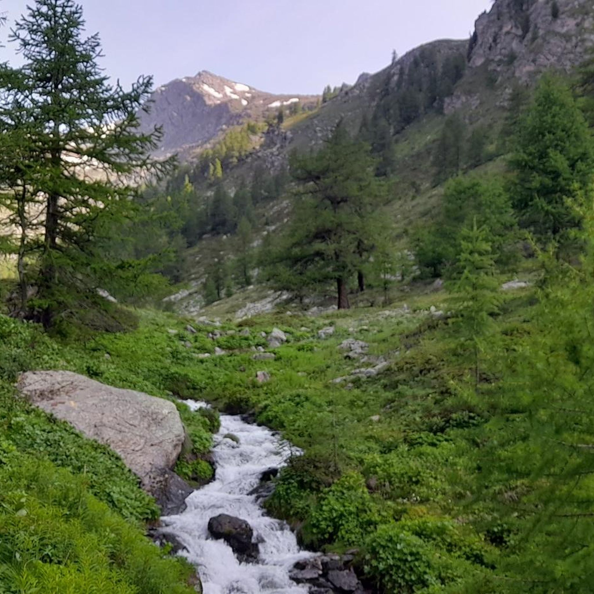
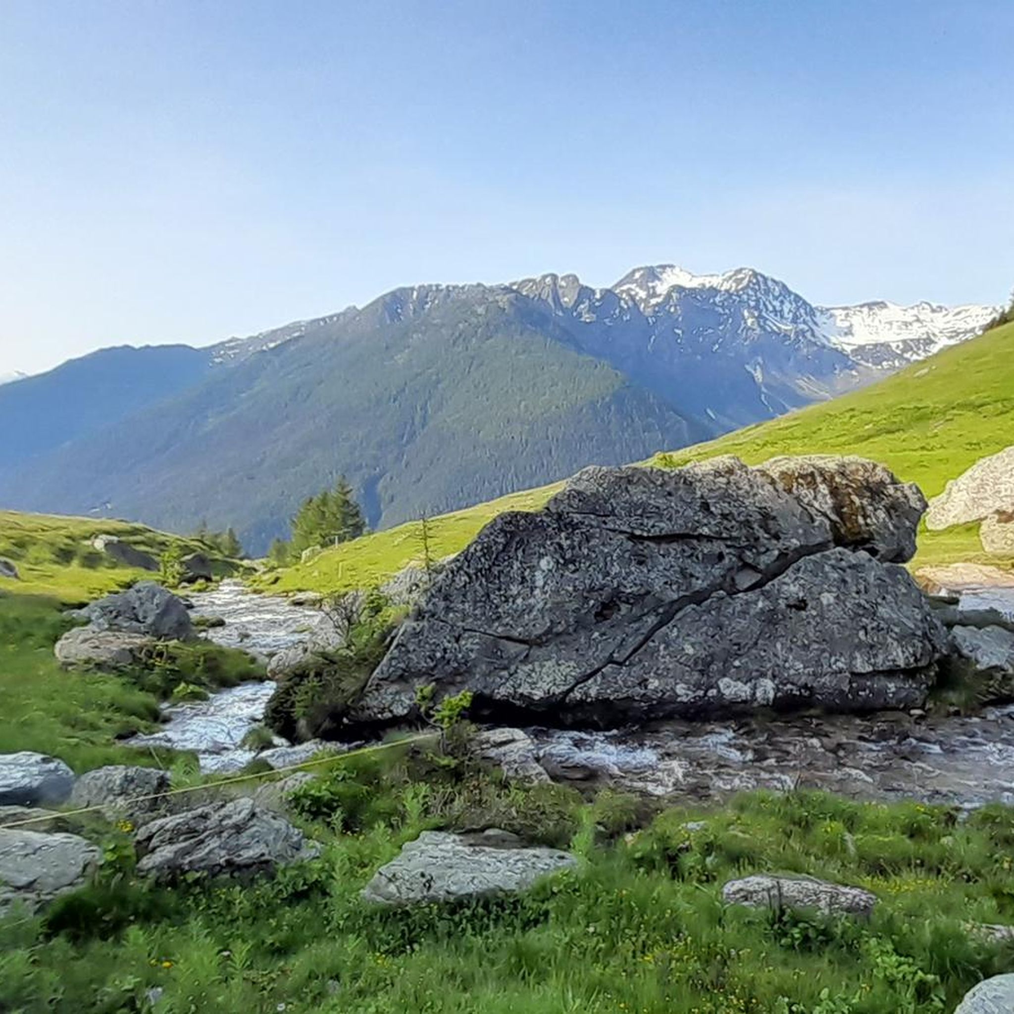
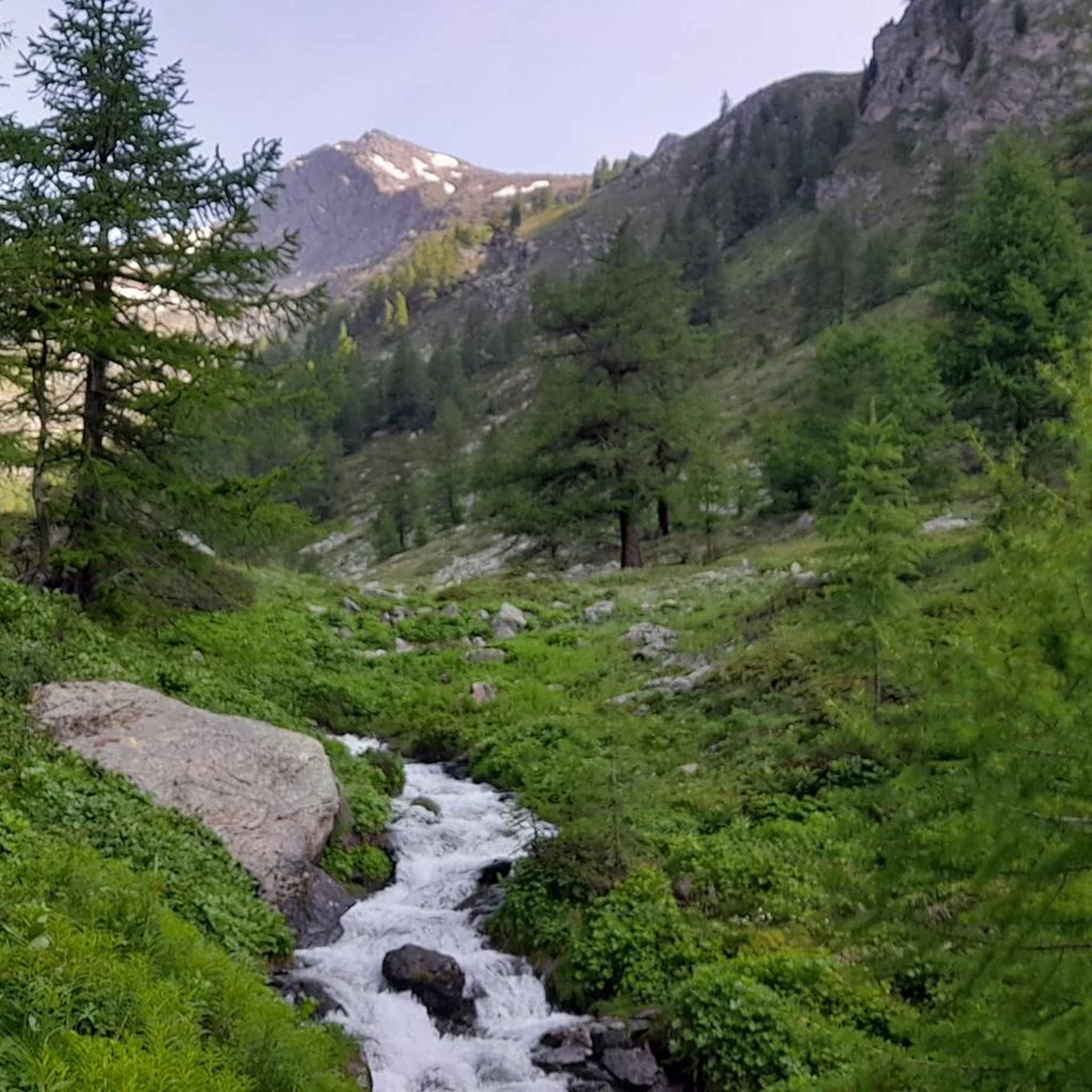
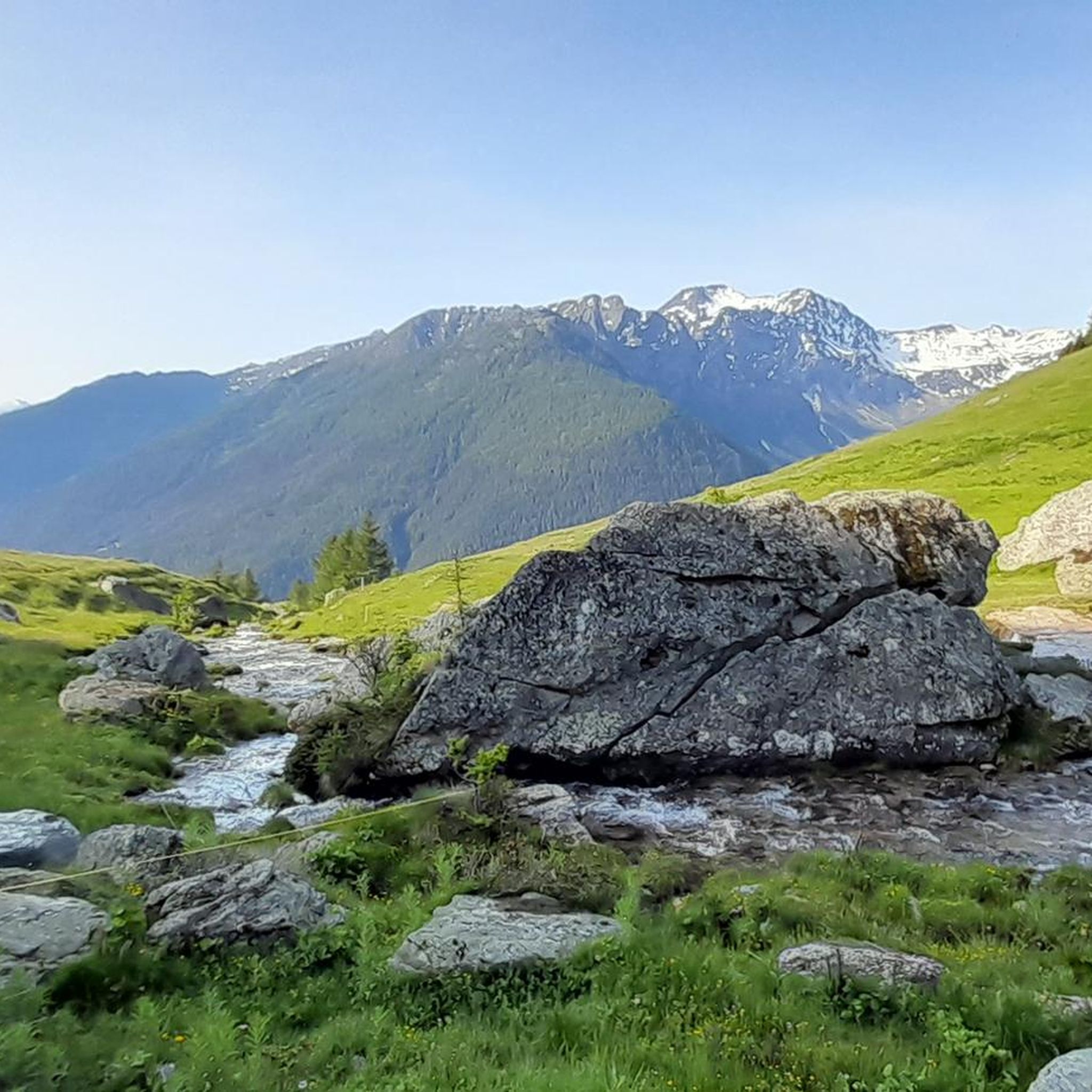
Hiking around Saint-Oyen, nestled in Italy's Aosta Valley, offers diverse alpine landscapes and an extensive trail network. The region is characterized by sun-exposed meadows, lush green forests, and impressive mountain peaks, some exceeding 3000 meters. Trails wind through conifer woods and verdant valleys, with the Artanavaz stream adding to the natural features.
Best hiking trails around Saint-Oyen
- The most popular hiking route is Tour of Mont Fallère - Third Stage, a 10.4 miles (16.7 km) difficult trail that takes…
Last updated: July 7, 2026
4.3
(6)
147
hikers
16.7km
07:02
1,270m
1,270m
Hike the difficult 10.4-mile Tour of Mont Fallère - Third Stage, gaining 4166 feet with panoramic views of Mont Blanc and the Matterhorn.
4.4
(7)
138
hikers
15.5km
06:36
1,240m
1,240m
Alpine trail through wildflower meadows to historic Col de Flassin with sweeping Valle d'Aosta views.

Sign up for free
5.0
(2)
24
hikers
11.3km
06:06
1,070m
1,070m
Hike the difficult 7.0-mile Monte Paglietta Trail from Saint-Oyen, gaining 3514 feet for panoramic views of Mont Velan and Mont Blanc.
5.0
(1)
14
hikers
8.96km
04:08
730m
730m
Historic military trail through pine forests to WWI fortress galleries carved into the mountain.
9
hikers
10.6km
05:00
1,120m
1,120m
Alpine trail to Grand Tête summit with panoramic views of Mont Blanc and the Matterhorn.
Get access to more routes and recommendations from other explorers.
Sign up for free
Already have an account?
Our route recommendations are based on thousands of hikes, rides, and runs completed by other people on komoot.
Start today with a free account
Your next adventure awaits.
Login or Signup
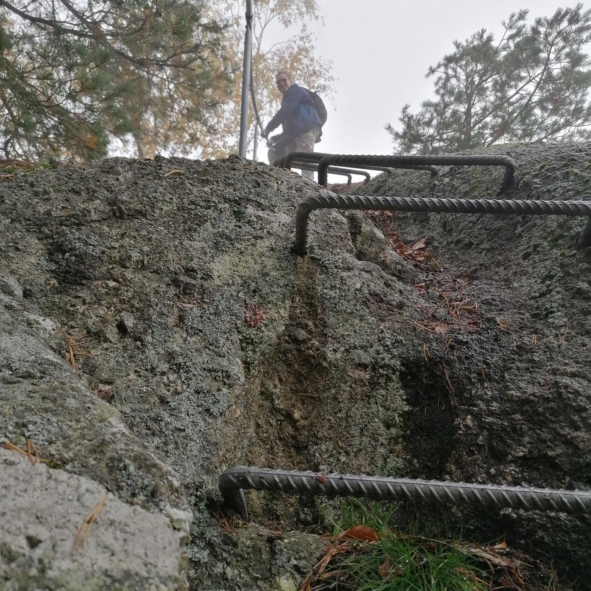

Tips from the Community

Monumental Norway spruce, Circumference: 255 cm Height: 26.5 m Height of 1st canopy: 4 m Canopy diameter: 10 m Canopy shape: columnar Estimated age: 100 - 200 years
0
0
Frequently Asked Questions
What types of landscapes can I expect to see while hiking around Saint-Oyen?
Hiking around Saint-Oyen offers a diverse range of alpine landscapes. You'll encounter sun-exposed vast meadows and pastures, lush green conifer forests, and impressive mountain peaks, some soaring over 3000 meters. The Artanavaz stream flows through the valley, adding to the natural beauty, and the area is adjacent to the renowned Gran Paradiso National Park.
Are there any easy hiking trails suitable for beginners or families in Saint-Oyen?
Yes, Saint-Oyen has trails suitable for various skill levels, including easier options. While many routes are more challenging, there are at least two easy routes available. For example, the "View of the Cascade du Morel loop from Saint-Oyen" is an easy 2.9-mile (4.7 km) trail offering picturesque views of the waterfall. You can also find other gentle paths through meadows and forests.
What are some notable natural landmarks or attractions I can see on a hike?
The region is rich in natural and historical landmarks. You can enjoy views of the Great St Bernard Hospice, a historic mountain pass, or explore areas near the Cascade du Morel waterfall. Trails also offer panoramic views of peaks like Mont Vélan, Mont Blanc, and Cervino (Matterhorn). The area also features several mountain passes such as Bastillon Pass and Col de Champillon.
Are there any circular hiking routes available in Saint-Oyen?
Yes, there are circular routes. A popular option is the Monte Paglietta Loop from Saint-Oyen, which is a 7.0-mile (11.3 km) trail leading through varied alpine terrain. Another example is the "View of the Cascade du Morel loop from Saint-Oyen" which is also a circular path.
What is the best time of year for hiking in Saint-Oyen?
The summer months are generally ideal for hiking in Saint-Oyen, offering access to a wide range of trails, including those to Plan Puitz and the Flassin combe. The region's diverse terrain, from sun-exposed meadows to forests, is best enjoyed during warmer weather. However, the Flassin area is also known for winter activities like cross-country skiing and snowshoeing.
Can I bring my dog on the hiking trails in Saint-Oyen?
While many trails in the Aosta Valley are dog-friendly, it's always recommended to check specific regulations for individual routes, especially those within or bordering protected areas like the Gran Paradiso National Park. Generally, dogs should be kept on a leash to protect local wildlife and ensure a pleasant experience for all hikers.
Are there options for longer, multi-day hikes in the Saint-Oyen area?
Yes, Saint-Oyen serves as a starting point or part of longer treks. For instance, the Tour of Mont Fallère - Third Stage is a challenging 10.4-mile (16.7 km) route that is part of a multi-day trek. For those undertaking longer hikes, mountain huts like the Refuge du Vélan and Mont Fallère Refuge offer accommodation.
What kind of views can I expect on the more challenging trails?
The more challenging trails often lead to spectacular panoramic views. For example, the Alpine trail to Col de Flassin from Prenoud provides extensive views of the surrounding alpine scenery and distant mountain peaks. Routes frequently offer glimpses of Mont Vélan, Mont Blanc, and Cervino (Matterhorn).
Are there any historical sites or routes to explore while hiking?
Yes, the area has a rich history. The region's trails include routes once frequented by smugglers and pilgrims traveling the ancient Via Francigena, which connected the British Isles to Rome. You can also find the Historic military trail to Plan Puitz Fortress, which offers insights into the area's past.
What do other hikers say about the trails in Saint-Oyen?
The hiking routes in Saint-Oyen are highly regarded by the komoot community, holding an average score of 4.4 stars from over 1100 reviews. Hikers often praise the diverse alpine landscapes, the well-maintained trails, and the stunning panoramic views of the surrounding peaks and valleys.
Is public transport available to reach hiking trailheads in Saint-Oyen?
Saint-Oyen is a village in the Aosta Valley, and while public transport options exist within the region, direct access to all trailheads might vary. It's advisable to check local bus schedules or consider driving to more remote starting points, as some trailheads may be more easily accessible by car.
Where can I find parking for hiking in Saint-Oyen?
Parking is generally available in and around the village of Saint-Oyen, particularly near popular trail starting points or designated visitor areas. For specific trailheads, it's recommended to check local signage or information boards upon arrival, as parking facilities can vary.
Most popular routes around Saint-Oyen
Most popular attractions around Saint-Oyen

Get inspired with the komoot mobile app


Explore more
Browse the best Hikes in other regions.
