The best road cycling routes around Pollein
4.4
(338)
11,699
riders
109
rides
Road cycling around Pollein, situated in Italy's Aosta Valley, offers diverse terrain for cyclists. The region features challenging alpine passes, accessible valley floor routes, and paths winding through vineyards. Its landscape is characterized by significant climbs and descents, with historical routes providing a connection to the area's heritage.
Best road cycling routes around Pollein
- The most popular road cycling route is Ascent to Lake Place Moulin from Aosta, a 40.5 miles (65.2 km) trail that takes 3 hours 50…
Last updated: May 25, 2026
4.4
(5)
361
riders
65.2km
03:50
1,590m
1,590m
Hard road ride. Very good fitness required. Mostly well-paved surfaces and easy to ride.
4.7
(7)
256
riders
37.2km
03:48
2,050m
160m
Hard road ride. Very good fitness required. Mostly well-paved surfaces and easy to ride.

Sign up for free
4.8
(13)
302
riders
37.9km
02:36
1,240m
1,240m
Hard road ride. Very good fitness required. Mostly well-paved surfaces and easy to ride.
4.0
(3)
138
riders
47.2km
03:03
1,280m
1,280m
Hard road ride. Very good fitness required. Mostly well-paved surfaces and easy to ride.
5.0
(1)
126
riders
59.4km
03:34
1,540m
1,540m
Hard road ride. Very good fitness required. Mostly well-paved surfaces and easy to ride.
Get access to more routes and recommendations from other explorers.
Sign up for free
Already have an account?
Our route recommendations are based on thousands of hikes, rides, and runs completed by other people on komoot.
Start today with a free account
Your next adventure awaits.
Login or Signup

Tips from the Community

Mountain tour through woods and spectacular panoramas
0
0

The Municipality of Gignod embodies the true essence of the Aosta Valley mountains, strategically located along the ancient routes of the Via Francigena. Surrounded by lush forests and imposing peaks towards the Gran San Bernardo, this picturesque territory combines nature, culture, and ancient traditions in a suggestive alpine setting, proving to be the perfect destination for a regenerating stop during an outdoor itinerary or for a day exploring the high-altitude beauties. Beyond the breathtaking panoramas, Gignod is a crossroads of stories to be experienced at a slow pace, where the strong connection with the land is expressed through excursions to the historic medieval Tower, bike rides on pristine trails, and moments of absolute tranquility. A perfect balance between historical heritage, spectacular landscapes, and deep relaxation, ideal for immersing yourself completely in the charm of the Aosta Valley. The Municipality of Gignod is also the ideal place to recharge your e-Bike and earn DINAclub points. Find out how at: dinaclub.repower.com To discover the territory, here is an itinerary ready to be cycled: komoot.com/tour/2955453853
0
0

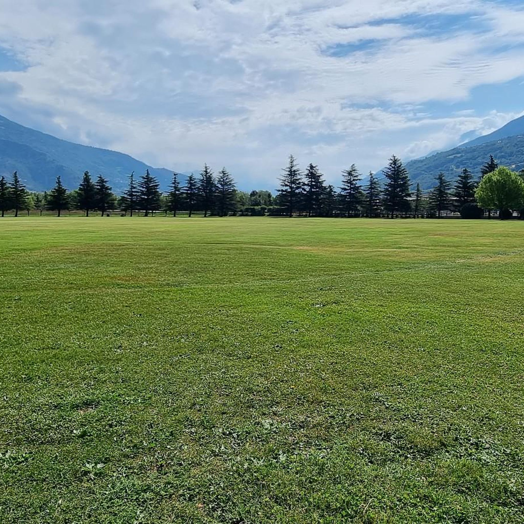
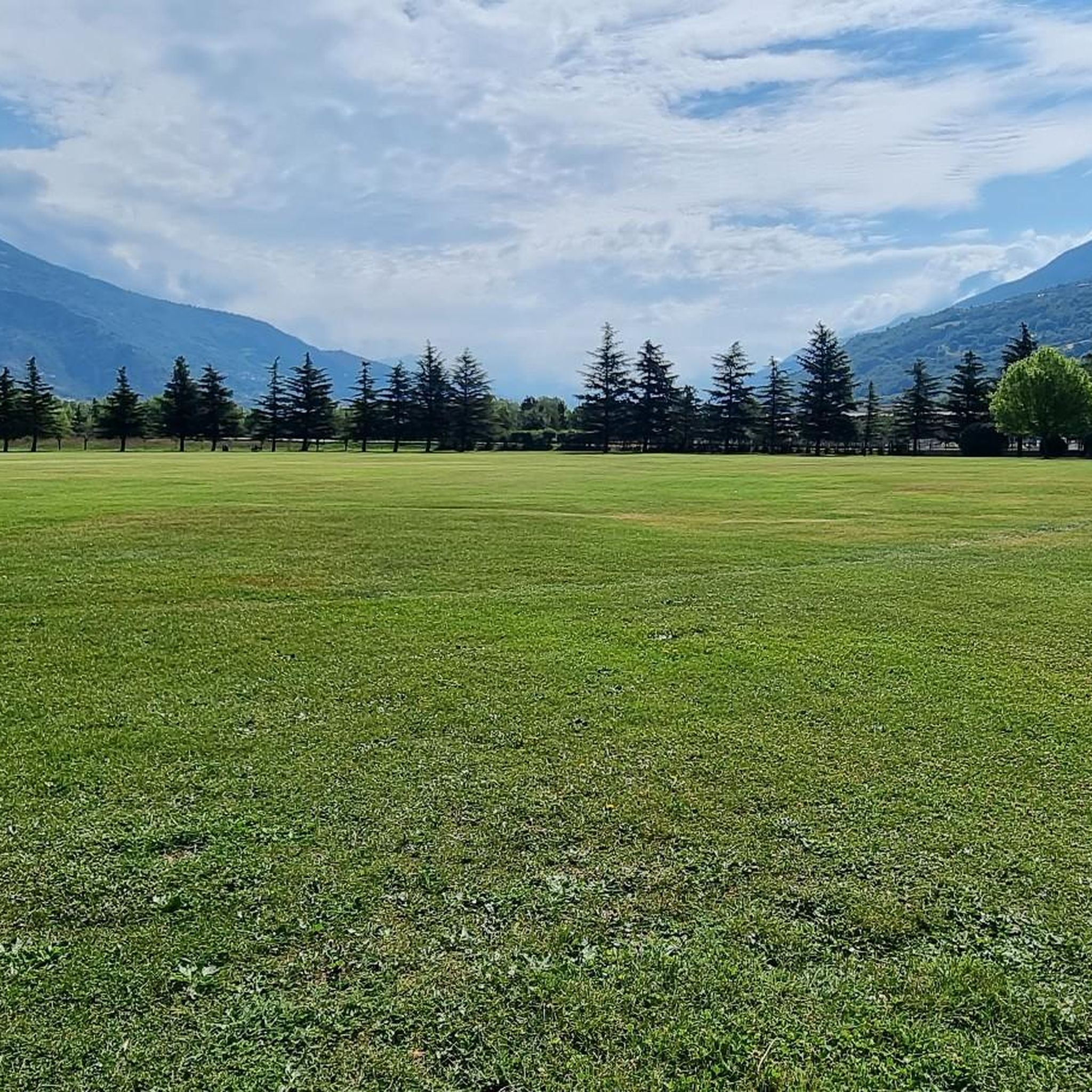
Arpuilles is a hamlet in the municipality of Aosta, nestled on the hill north of the city at an altitude of about 1000 meters. The village, along with nearby Signayes, is part of that system of mid-mountain settlements that the Salassi—the Celtic population who inhabited the valley before the Roman conquest—seemed to prefer to the valley floors, and which over the centuries has maintained a rural character distinct from that of the underlying capital. So strong was this sense of identity that in the past the inhabitants of Arpuilles and Signayes even attempted to separate from the municipality of Aosta to form an autonomous municipality. The inhabited core consists of stone and wood houses arranged along the road that climbs from the plain, surrounded by meadows, pastures, and deciduous woods. From Arpuilles, one enjoys an open view of the Aosta basin and the surrounding mountains: Monte Emilius, Becca di Nona, and, in the distance, the peaks of Gran Paradiso. Its sunny position, sheltered from the north winds, has historically made it an area for spring and autumn grazing. Here passes the terminal section of the Ru Neuf, the ancient irrigation canal from 1327 that brought water from Étroubles to the hill of Aosta.
0
0

A long and beautiful ascent at a steady pace that rewards you with exceptional views upon arrival!
0
0
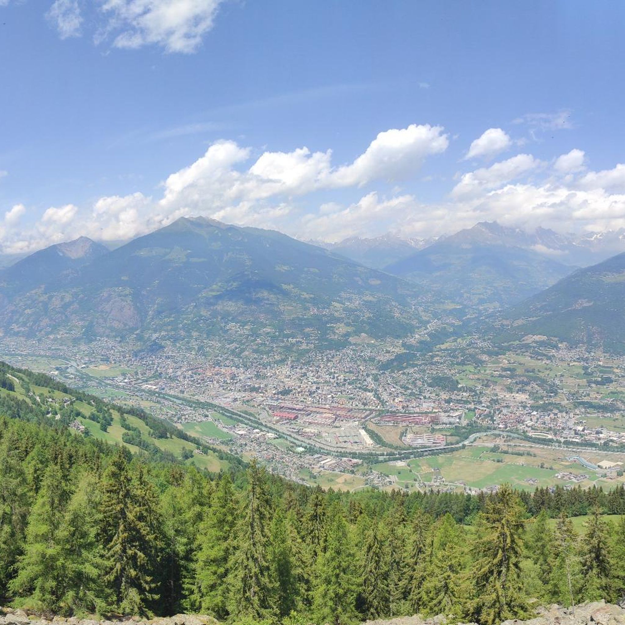
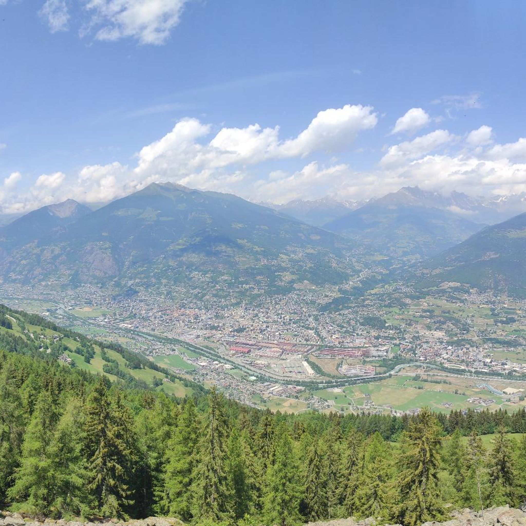
An exceptional panoramic view of the city below.
0
0
A picturesque little village in the Grand Saint-Bernard valley, offering several trails.
0
0

Lignan is located at about 1,600 meters in the Vallone di Saint-Barthélemy, in an open position that marks the transition from the woods to a more alpine environment. The road that reaches it is regular and very rideable, with an ever-widening view as you ascend. Here you will also find the Astronomical Observatory of the Aosta Valley, in an area particularly favorable for the quality of the sky.
0
0
This quiet side valley opens up above Nus and climbs the eastern slope of the Aosta plain. The road follows the valley floor with regular gradients, crossing woods and small hamlets until it reaches more open and panoramic altitudes. Reduced traffic allows you to fully enjoy the fantastic views of the valley.
0
0
Frequently Asked Questions
How many road cycling routes are available around Pollein?
There are over 100 road cycling routes around Pollein, offering a wide range of experiences. These include 23 easy routes, 35 moderate routes, and 44 difficult routes, catering to all skill levels.
What kind of terrain can I expect when road cycling near Pollein?
Road cycling near Pollein offers incredibly diverse terrain. You can expect challenging alpine passes like the Great Saint Bernard and Little Saint Bernard, accessible valley floor routes, and picturesque paths winding through vineyards and past historic castles. The region is characterized by significant climbs and descents, alongside gentler riverside rides.
When is the best time of year for road cycling in Pollein?
The best time for road cycling in Pollein is generally from late spring through early autumn. During these months, the weather is most favorable, and the higher alpine passes are typically clear of snow, offering access to the full range of routes and breathtaking views.
Are there easy road cycling routes suitable for beginners around Pollein?
Yes, Pollein offers several easy road cycling routes perfect for beginners or those seeking a relaxed ride. A great option is the Dora Baltea Cycle Path, which follows the Dora Baltea river, providing a gentle and scenic experience through the valley.
What are some challenging road cycling routes for experienced riders?
For experienced riders seeking a challenge, Pollein is an ideal base. The Ascent to Lake Place Moulin from Aosta is a difficult 40.5-mile route with a substantial climb towards a scenic alpine lake. Another demanding option is the Dora Baltea River Bridge loop, which covers over 100 km with significant elevation gain.
Can I find circular road cycling routes in the Pollein area?
Yes, there are several circular road cycling routes around Pollein. For instance, the Dora Baltea River Bridge loop offers a long, challenging circular ride. Many routes are designed as loops, allowing you to start and finish in the same location while exploring the diverse landscapes.
What scenic viewpoints or natural features can I see along road cycling routes?
Road cycling routes around Pollein are rich with scenic viewpoints and natural features. You can encounter stunning alpine vistas, crystalline lakes, and dramatic peaks. Specific natural attractions nearby include the beautiful Lillaz Waterfalls and the serene Lake Chamolé, which can be incorporated into your cycling adventures.
Are there any interesting historical landmarks around Pollein that I can visit while cycling?
Absolutely. The Aosta Valley is steeped in history. You can cycle along sections of the ancient Via Francigena pilgrimage route, which leads into the historic city of Aosta with its Roman heritage. Additionally, the region boasts numerous castles. Notable examples include Fénis Castle, Aymavilles Castle, and Quart Castle, many of which are accessible or visible from cycling paths.
What do other road cyclists enjoy most about road cycling in Pollein?
The road cycling experience in Pollein is highly rated by the komoot community, with an average score of 4.6 stars from over 260 reviews. Cyclists frequently praise the region's diverse terrain, from challenging alpine ascents to gentle valley rides, and the consistently stunning panoramic views of the Aosta Valley's dramatic alpine scenery.
Are there any routes that follow historical paths or ancient trails?
Yes, you can explore historical paths while road cycling near Pollein. The Sigerico Variant of the Pilgrims' Cycle Route is a moderate 11.5-mile trail that leads through historical landscapes, offering a connection to the region's rich heritage.
Can I find routes that offer views of vineyards or agricultural areas?
Yes, the Aosta Valley offers routes that meander through picturesque vineyards and past agricultural areas. These routes provide a different cycling experience, allowing you to enjoy the region's agricultural beauty and historical architecture, often on less strenuous valley floor paths.
Are there options for long-distance road cycling routes near Pollein?
Pollein serves as an excellent starting point for long-distance road cycling. Many routes, such as the Dora Baltea River Bridge loop, extend over 100 km, providing ample distance for endurance rides. The region's extensive network allows for combining routes to create even longer journeys.
Most popular routes around Pollein
Most popular attractions around Pollein

Get inspired with the komoot mobile app


Explore more
Browse the best Road cycling routes in other regions.
