The best mountain hikes around Pollein
29
hikers
4
hikes
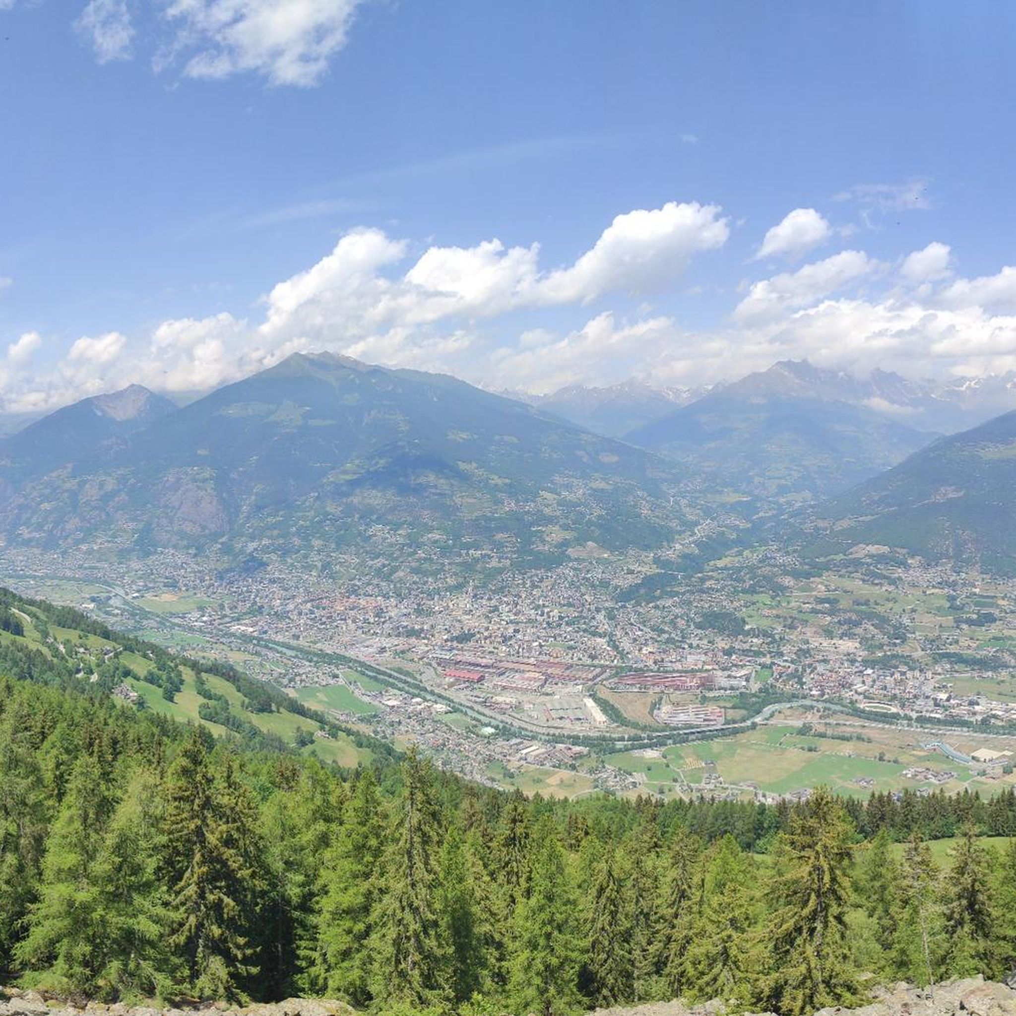
Mountaineering routes around Pollein are set within Italy's Aosta Valley, a region characterized by its strategic location at 551 meters altitude on the Dora river and its gradual ascent through coniferous woods towards impressive alpine landscapes. The area provides access to significant peaks like Mont Emilius (3559 m) and is a gateway to the major mountains of the Alps. This makes Pollein a prime location for challenging alpine experiences, offering diverse terrain from forested slopes to high-altitude rock formations.
Best…
Last updated: October 11, 2026
10
hikers
8.87km
05:25
800m
800m
Hard mountaineering route. Very good fitness required. Sure-footedness, sturdy shoes and alpine experience required.
5
hikers
12.8km
07:52
1,350m
1,350m
Hard mountaineering route. Very good fitness required. Sure-footedness, sturdy shoes and alpine experience required.

10
hikers
11.5km
07:16
1,240m
1,230m
Hard mountaineering route. Very good fitness required. Sure-footedness, sturdy shoes and alpine experience required.
4
hikers
12.6km
06:28
980m
980m
Hard mountaineering route. Very good fitness required. Sure-footedness, sturdy shoes and alpine experience required.
Our route recommendations are based on thousands of hikes, rides, and runs completed by other people on komoot.
Start today with a free account
Your next adventure awaits.
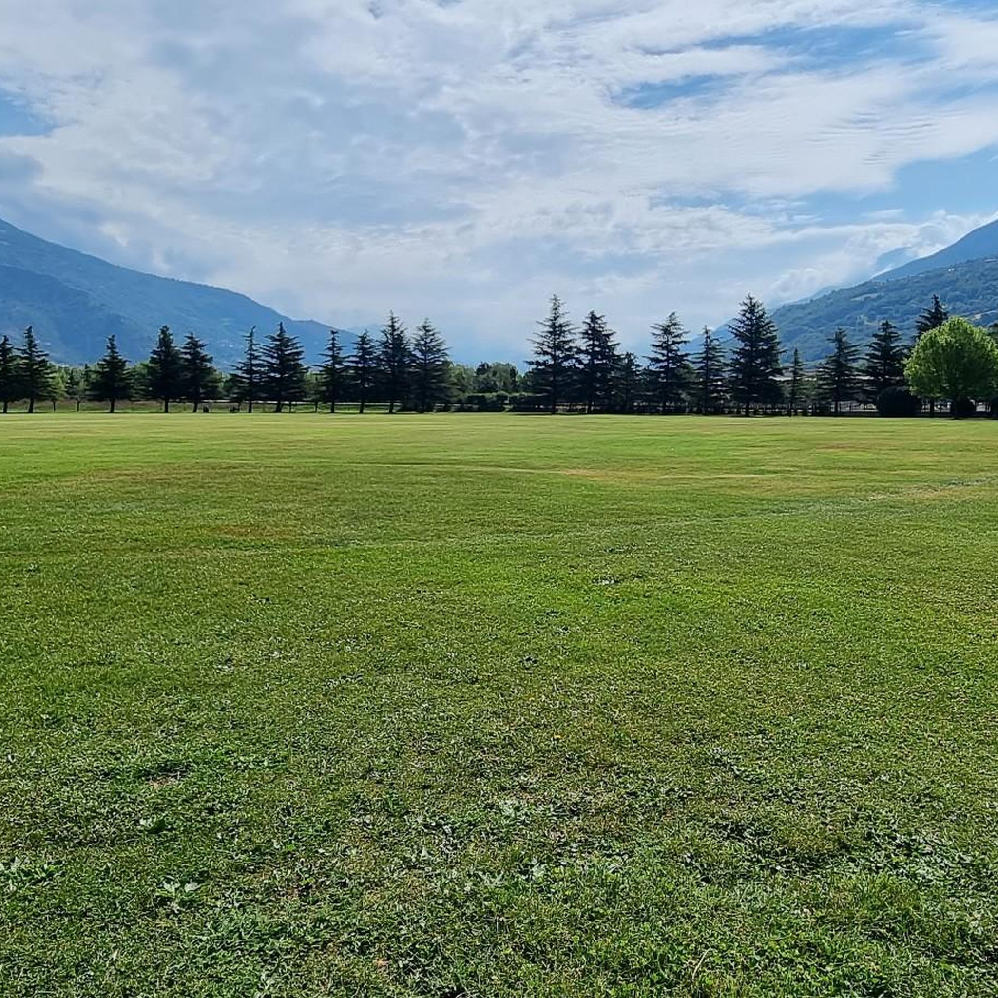
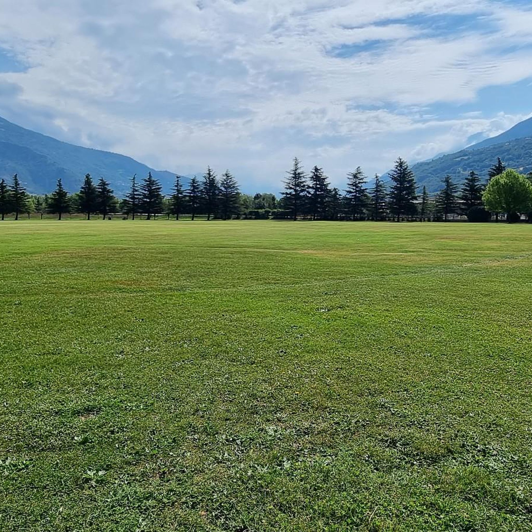
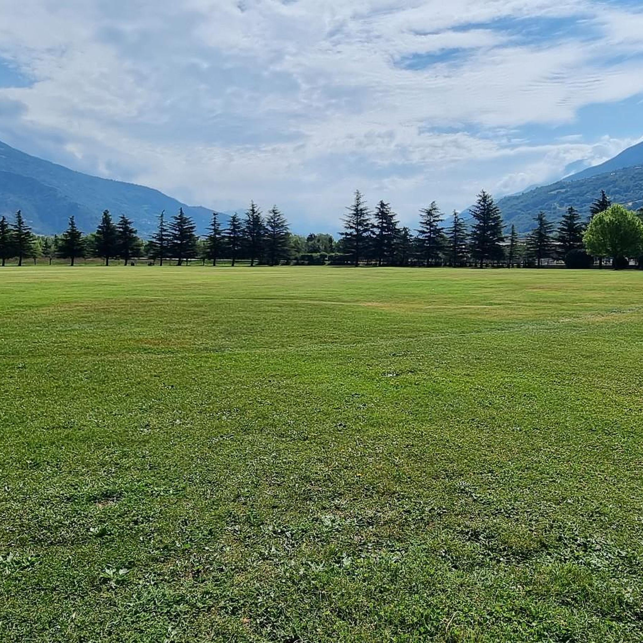
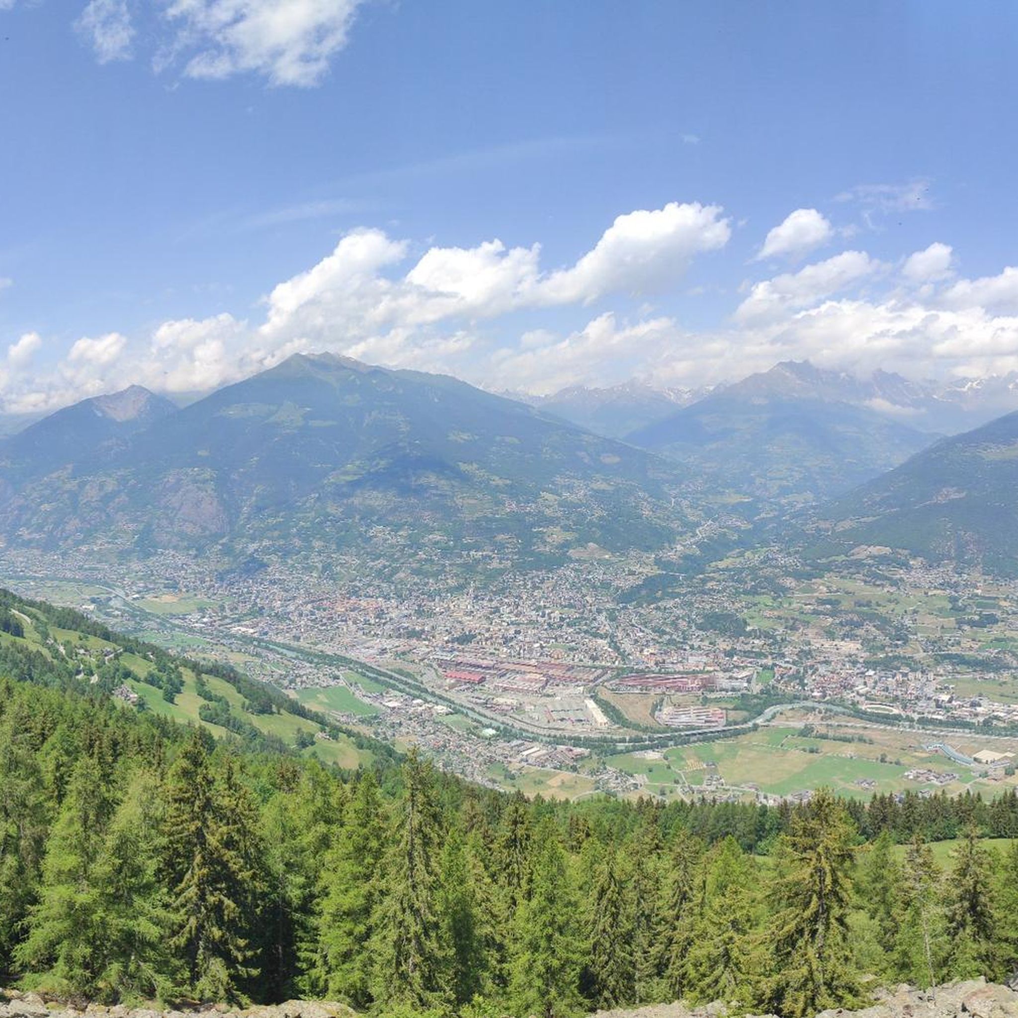

Tips from the Community


Cima Testa Nera is a peak in the Aosta Valley located above Pila. From the summit, you can see the entire valley and the most important mountain groups in the Aosta Valley. With good weather, you can see Mont Blanc, the Monte Rosa massif, the Grivola, the Matterhorn, and much closer the Emilius, the highest peak in the area. There isn't a single ascent route; the one from Lake Chamolé that I took is quite steep and on loose terrain. The path requires the use of hands in some places but always remains not very exposed.
0
0

Very beautiful village to spend your hikes in. Drinking water fountain present
0
0

Climbing with bike up to Blavy is such a nice experience on its own: stunning views on the Alps!
0
0

https://youtu.be/Pxndx9TNM5U?si=mH5XT38nxmCVjLSr Push, lift, and drag until you're over it, then you have a beautiful descent to Cogne.
0
0

A fantastic view, weather permitting: Mont Blanc, Grandes Jorasses, Matterhorn, Punta Rosa. The overview board tells you where each peak is located.
0
0

You reach Punta Valletta, where you can sit at the base of its cross. ⚠️ In July 2024, we were unable to locate path 19A which would have closed the return loop. So we did the via ferrata again in reverse.
0
0

Frequently Asked Questions
How many mountaineering routes are available around Pollein?
There are at least 6 challenging mountaineering routes documented around Pollein on komoot. These routes are all rated as difficult, offering significant elevation gains and immersive alpine experiences in the Aosta Valley.
Are there any circular mountaineering routes in the Pollein area?
Yes, several of the mountaineering routes around Pollein are circular. For example, you can explore the Grauson Hut – Lussert Lakes loop from Cogne, which is an 11.3-mile route offering expansive views of alpine lakes. Another option is the Punta della Valletta (3,090 m) – Lago di Chamolé loop from Pila, a difficult 5.5-mile path leading to a prominent peak and a scenic alpine lake.
What kind of terrain can I expect on mountaineering routes near Pollein?
The terrain around Pollein for mountaineering routes is diverse, ranging from coniferous woods at lower altitudes to high alpine landscapes. You'll encounter rugged mountain scenery, significant elevation gains, and often pass by alpine lakes and rock formations as you ascend towards peaks like Mont Emilius.
What do other mountaineers enjoy most about the routes in Pollein?
The mountaineering routes in Pollein are highly rated by the komoot community, with an average score of 5.0 stars from over 7 reviews. Mountaineers often praise the challenging ascents, the breathtaking alpine scenery, and the sense of accomplishment from reaching prominent peaks and exploring high-altitude terrain.
Are there any routes suitable for advanced mountaineers seeking a significant challenge?
Absolutely. All the documented mountaineering routes around Pollein are rated as difficult, making them ideal for experienced mountaineers. For instance, the Lago di Chamolé – Bivacco Federigo Zullo loop from Pila is an 8.0-mile trail with over 1,350 meters of elevation gain, leading through high alpine terrain and past a mountain bivouac, perfect for a demanding expedition.
What are some notable natural attractions or landmarks along the mountaineering routes?
While on your mountaineering adventures, you might encounter various natural features. The region is known for its alpine lakes, such as the Lussert Lakes and Lago di Chamolé. You can also find impressive mountain passes like Passo Invergneux and Colle Tsa Seche, which offer stunning views and are often part of challenging ascents.
Is it possible to reach high-altitude bivouacs or refuges on these routes?
Yes, some routes lead to or pass by high-altitude shelters. The Lago di Chamolé – Bivacco Federigo Zullo loop from Pila specifically includes a mountain bivouac, offering a potential resting point or objective for your tour.
What is the best season for mountaineering in Pollein?
The best season for mountaineering in Pollein and the wider Aosta Valley is typically late spring through early autumn (June to September) when snowmelt allows access to higher trails and weather conditions are generally more stable. However, conditions can change rapidly in the mountains, so always check local forecasts.
Are there any routes that offer views of major Aosta Valley peaks like Mont Emilius?
Many routes in the Pollein area provide expansive views of the surrounding Aosta Valley, including glimpses of significant peaks. Pollein's territory itself gradually ascends towards Mont Emilius (3559 m), making it a prominent feature in the landscape and a potential objective for experienced mountaineers.
Can I find routes that are less frequented or considered 'hidden gems'?
While the main routes are popular for their beauty and challenge, the vastness of the Aosta Valley means there are always opportunities to explore less-traveled paths. For a challenging and perhaps less crowded experience, consider the Becca di Viou – Col de Viou loop from Blavy, which offers a substantial ascent and alpine scenery away from the most popular trailheads.
Are there any routes that involve alpine lakes or water features?
Yes, several mountaineering routes in the Pollein area feature beautiful alpine lakes. The Grauson Hut – Lussert Lakes loop from Cogne is renowned for its stunning alpine lakes. Another option is the Lago d'Arbolé – Rifugio Arbolle loop from Rifugio Arbolle, which takes you past the picturesque Lago d'Arbolé.
Most popular routes around Pollein
Most popular attractions around Pollein

Get inspired with the komoot mobile app


Explore more
Browse the best Mountain Hikes & Routes in other regions.
