The best walks and hikes around Montignoso
4.6
(207)
1,279
hikers
30
hikes
Hiking around Montignoso offers diverse landscapes, from the Apuan Alps to the Versilian coast. The region features a unique blend of mountainous terrain, including peaks like Monte Folgorito and Monte Pasquilio, and coastal wetlands such as the Lago di Porta Nature Reserve. Hikers can experience varied environments, including pine and chestnut woods, and areas with historical significance like the Gothic Line. This geographical position provides panoramic views where mountains meet the sea.
Best hiking trails around Montignoso
- The most popular…
Last updated: June 29, 2026
4.5
(41)
186
hikers
5.47km
01:59
140m
140m
Hard hike. Great for any fitness level. Sure-footedness, sturdy shoes and alpine experience required.
4.8
(23)
69
hikers
9.26km
03:29
340m
340m
Hard hike. Good fitness required. Sure-footedness, sturdy shoes and alpine experience required.

Sign up for free
4.3
(6)
72
hikers
10.2km
02:34
10m
10m
Moderate hike. Good fitness required. Easily-accessible paths. Suitable for all skill levels.
4.6
(7)
76
hikers
Moderate hike. Good fitness required. Easily-accessible paths. Suitable for all skill levels.
4.2
(17)
63
hikers
Moderate hike. Good fitness required. Mostly accessible paths. Sure-footedness required.
Get access to more routes and recommendations from other explorers.
Sign up for free
Already have an account?
Our route recommendations are based on thousands of hikes, rides, and runs completed by other people on komoot.
Start today with a free account
Your next adventure awaits.
Login or Signup

Tips from the Community

A modest peak (912 meters) of the Altissimo chain, Monte Folgorito is located on the border between the municipalities of Montignoso (Massa-Carrara) and Seravezza (Lucca). It seems that the name derives from the fact that its peak is a constant target of lightning and thunder during summer storms.
0
0

Beautiful view of the Altissimo and the Northern Apuan Alps
1
0


Leave the CAI path nr 140 to take the track on the left, which reaches the ridge passing through the locality of Le Forche (900 m), where there are the first German fortifications. Follow a ridge path that meets individual trenches and holes (above Campo del Barga and at Col di Melo), before reaching the marble stone of the Gothic Line.
1
0
In the last stretch to reach the summit of Monte Folgorito there is this small cave which during the Second World War was used as a deposit for the radio station.
1
0
The Folgorito is a modest mountain (911.5 meters) of the chain that faces the sea from the Most High, through the Uncini pass and the Carchio. The summit ends with a characteristic pointed and grassy peak which is located on the border between the municipalities of Montignoso (Massa-Carrara) and Seravezza (Lucca). The side overlooking the Serra valley is rugged and rocky. In correspondence with it, the ridge splits into a south-western branch that continues up to the cliff of the Aghinolfi Castle [1] (226 meters) in the Montignosino area, while a south-eastern branch slopes gently towards Seravezza. The name [2] derives from the fact that its top is the target of lightning that is hurled there with force especially during the summer storms. From the summit you can enjoy a good view of the coast and the southern and northern Apuane, in particular the nearby Carchio and Altissimo. You go up easily with the path 140 both from Pasquilio and Seravezza. The very imposing summit cross was erected on 12 June 1986 by the inhabitants of Montignoso. On the summit and on the ridge there are remains of fortifications from the Gothic line. Also of particular importance are the blooms that cheer the hiker especially in late spring.
1
0

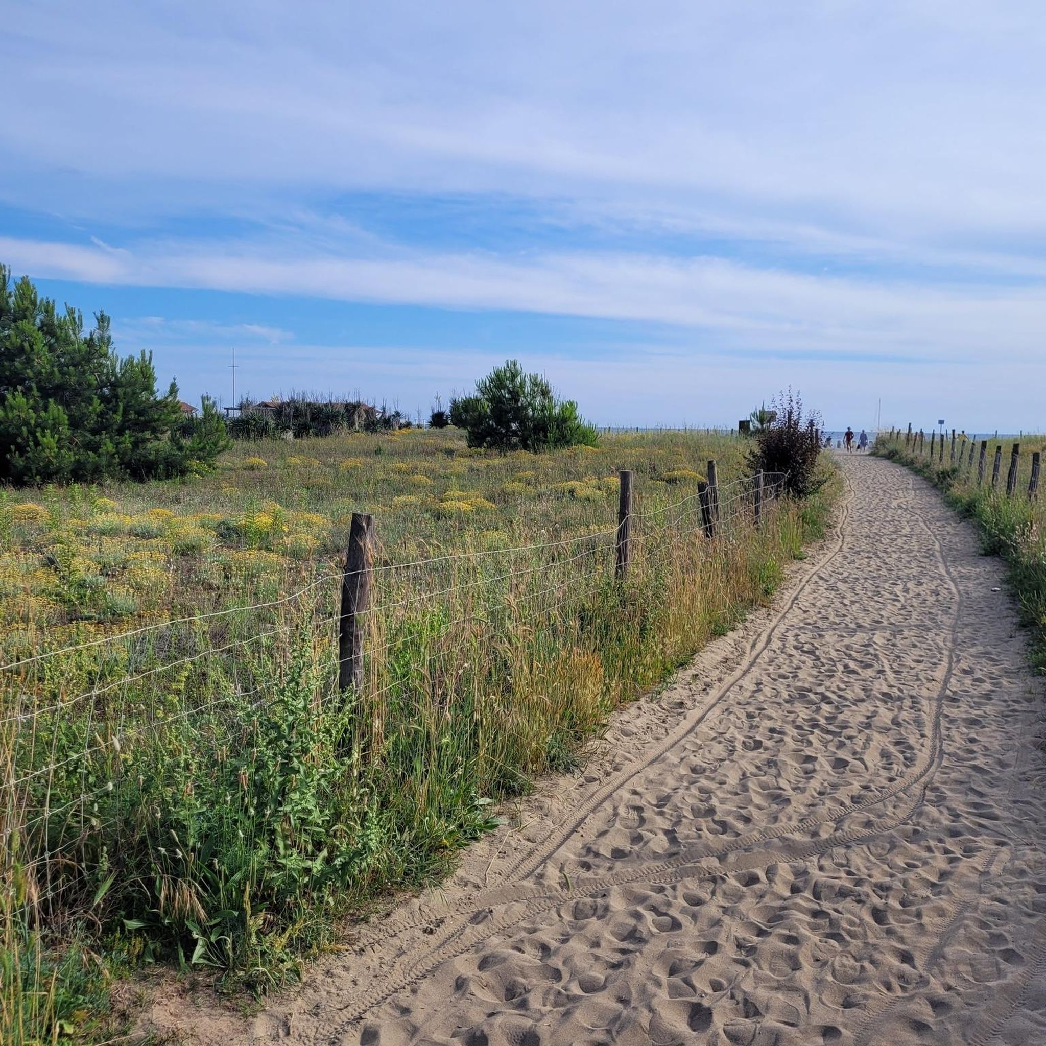
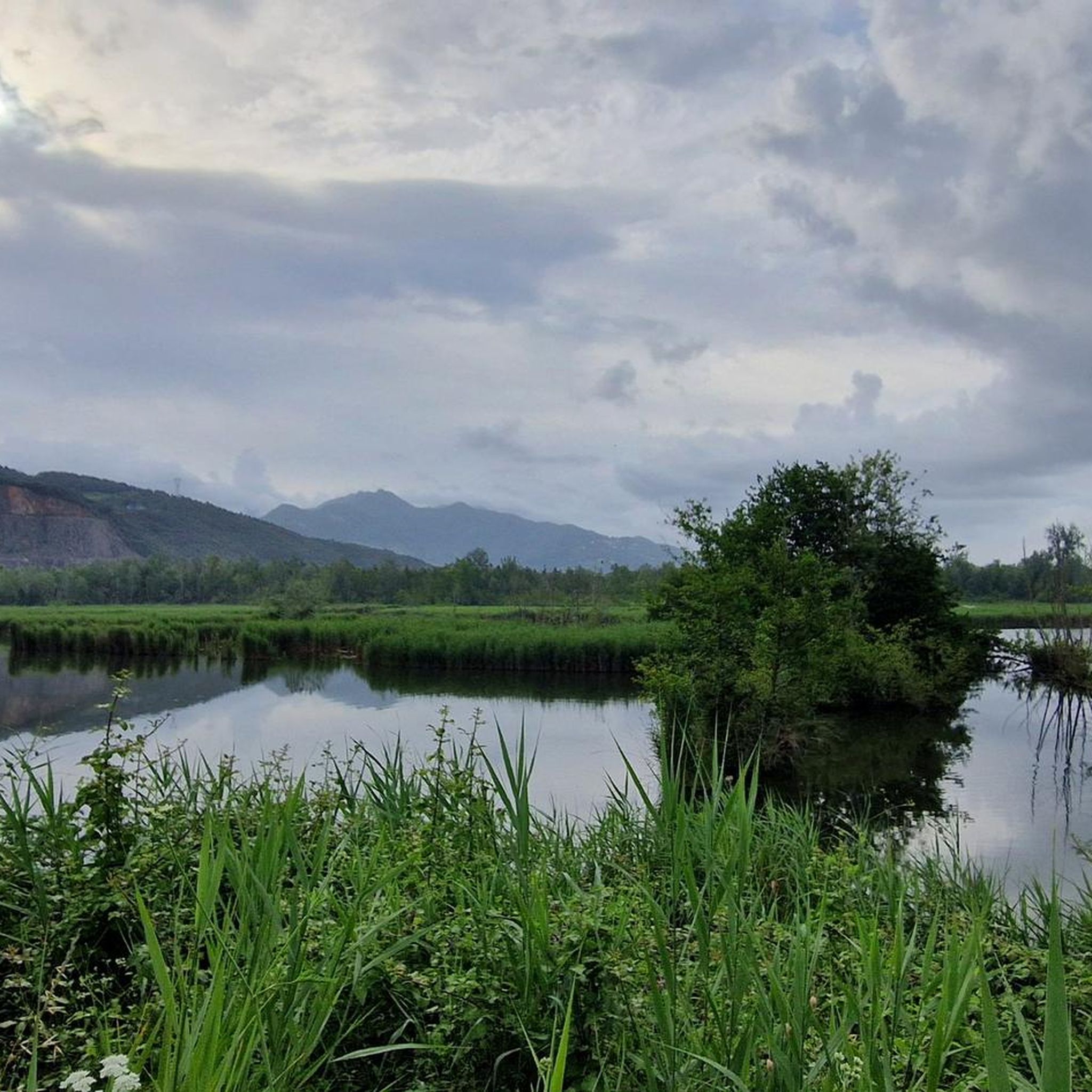
Originally an area of ponds and marshes rich in fish, a canal to the sea was dug in the 15C and the site was drained for farming until the 17C. That never worked out right. Eventually the area was reclaimed. Outside it is now dry and should be used for housing, the swampy terrain inside the dyke is a nature reserve and inhabited by waterfowl. There is an unpaved path on the dyke, which is worth walking. The path along the canal to the Mediterranean Sea is also beautiful. https://it.wikipedia.org/wiki/Lago_di_Porta
3
0
Frequently Asked Questions
How many hiking trails are there in Montignoso?
Montignoso offers a wide variety of hiking experiences, with over 30 trails available. These range from easy walks to more challenging mountain ascents, catering to different fitness levels.
What are the typical difficulty levels for hiking in Montignoso?
The trails around Montignoso offer a mix of difficulties. You'll find approximately 10 easy routes, 9 moderate paths, and 11 more difficult hikes. This variety ensures options for casual walkers and experienced mountaineers alike.
What kind of views can I expect on hikes around Montignoso?
Hiking in Montignoso provides spectacular panoramic views where the mountains meet the sea. From areas like Monte Pasquilio, you can enjoy sweeping vistas of the Apuan coast of Versilia, and on clear days, even spot the Tuscan Archipelago and Corsica.
Are there circular walks available in Montignoso?
Yes, Montignoso features several excellent circular walks. For example, the Le Forche – Monte Folgorito Summit loop from Pasquilio offers summit views, while the Lago di Porta Nature Reserve – Lake Porta loop from Cinquale takes you through a protected wetland.
What historical sites can I explore while hiking in Montignoso?
Montignoso's trails offer a unique blend of nature and history. You can explore routes that follow the historical Gothic Line, where traces of German outposts and bunkers from WWII are still visible. Additionally, the ancient Aghinolfi Castle, a former Byzantine stronghold, overlooks the coast and Lake Porta, providing historical interest amidst scenic olive groves.
Are there any nature reserves or unique natural features to see?
Absolutely. The Lago di Porta Nature Reserve is a significant natural attraction, representing the northernmost coastal wetland in Tuscany. It's a haven for numerous bird species and rare butterflies. The region also boasts varied terrain from coastal warmth to cool pine and chestnut woods, home to diverse wildlife and unique dwarf ferns.
What do other hikers enjoy most about hiking in Montignoso?
The hiking routes in Montignoso are highly rated by the komoot community, with an average score of 4.6 stars from over 190 reviews. Hikers often praise the diverse landscapes, from the dramatic Apuan Alps to the serene coastal wetlands, and the unique blend of natural beauty with historical sites.
What is the best time of year to hike in Montignoso?
Montignoso offers pleasant hiking conditions across various seasons. The region transitions from the warmth of the coast to the coolness of pine and chestnut woods, making spring and autumn particularly enjoyable. Early autumn also brings the spectacle of swallows gathering at Lago di Porta before their migration.
Are there any huts or refuges along the hiking trails in Montignoso?
Yes, for those undertaking longer or more challenging hikes, there are several huts and refuges in the broader Montignoso area. Notable options include the Nello Conti Hut, Rifugio Carrara CAI, and the Orto di Donna Mountain Hut, which can provide rest or shelter.
Can I find trails that offer both mountain and coastal experiences?
Montignoso is uniquely positioned where the Apuan Alps meet the Versilian coast, allowing for trails that combine both environments. You can hike through mountainous terrain with peaks like Monte Folgorito and Monte Pasquilio, and also explore coastal wetlands, offering a diverse and dynamic hiking experience.
Are there any trails that offer views of the famous Carrara marble quarries?
Yes, some routes provide glimpses of the renowned Carrara marble quarries. For instance, the Marble Quarry of Carrara – View of the Coast at Sunset loop from Pasquilio offers a chance to see these impressive sites, often combined with stunning coastal views, especially at sunset.
Most popular routes around Montignoso
Most popular attractions around Montignoso

Get inspired with the komoot mobile app


Explore more
Browse the best Hikes in other regions.
