The best mountain hikes around Montignoso
4.5
(7)
40
hikers
8
hikes
Mountaineering routes around Montignoso offer diverse challenges within the Apuan Alps, a region characterized by its dramatic limestone peaks and varied terrain. Nestled at the foot of these mountains, Montignoso provides access to high-altitude pursuits and panoramic views extending towards the coast. The area features prominent peaks like Monte Tambura and Monte Corchia, alongside dense chestnut and fir woods, creating a rich environment for outdoor exploration. This landscape transitions from coastal proximity to rugged mountain environments, all within the protected…
Last updated: May 23, 2026
5.0
(1)
11
hikers
13.0km
06:43
1,320m
1,320m
Hard mountaineering route. Very good fitness required. Sure-footedness, sturdy shoes and alpine experience required.
4.0
(1)
8
hikers
10.8km
04:35
740m
740m
Moderate mountaineering route. Good fitness required. Mostly accessible paths. Sure-footedness required.

Sign up for free
5.0
(2)
5
hikers
7.54km
03:11
500m
500m
Hard mountaineering route. Good fitness required. Sure-footedness, sturdy shoes and alpine experience required.
5.0
(1)
3
hikers
9.07km
05:14
1,050m
1,050m
Hard mountaineering route. Very good fitness required. Sure-footedness, sturdy shoes and alpine experience required.
4
hikers
11.4km
05:50
850m
850m
Hard mountaineering route. Very good fitness required. Sure-footedness, sturdy shoes and alpine experience required.
Get access to more routes and recommendations from other explorers.
Sign up for free
Already have an account?
Our route recommendations are based on thousands of hikes, rides, and runs completed by other people on komoot.
Start today with a free account
Your next adventure awaits.
Login or Signup
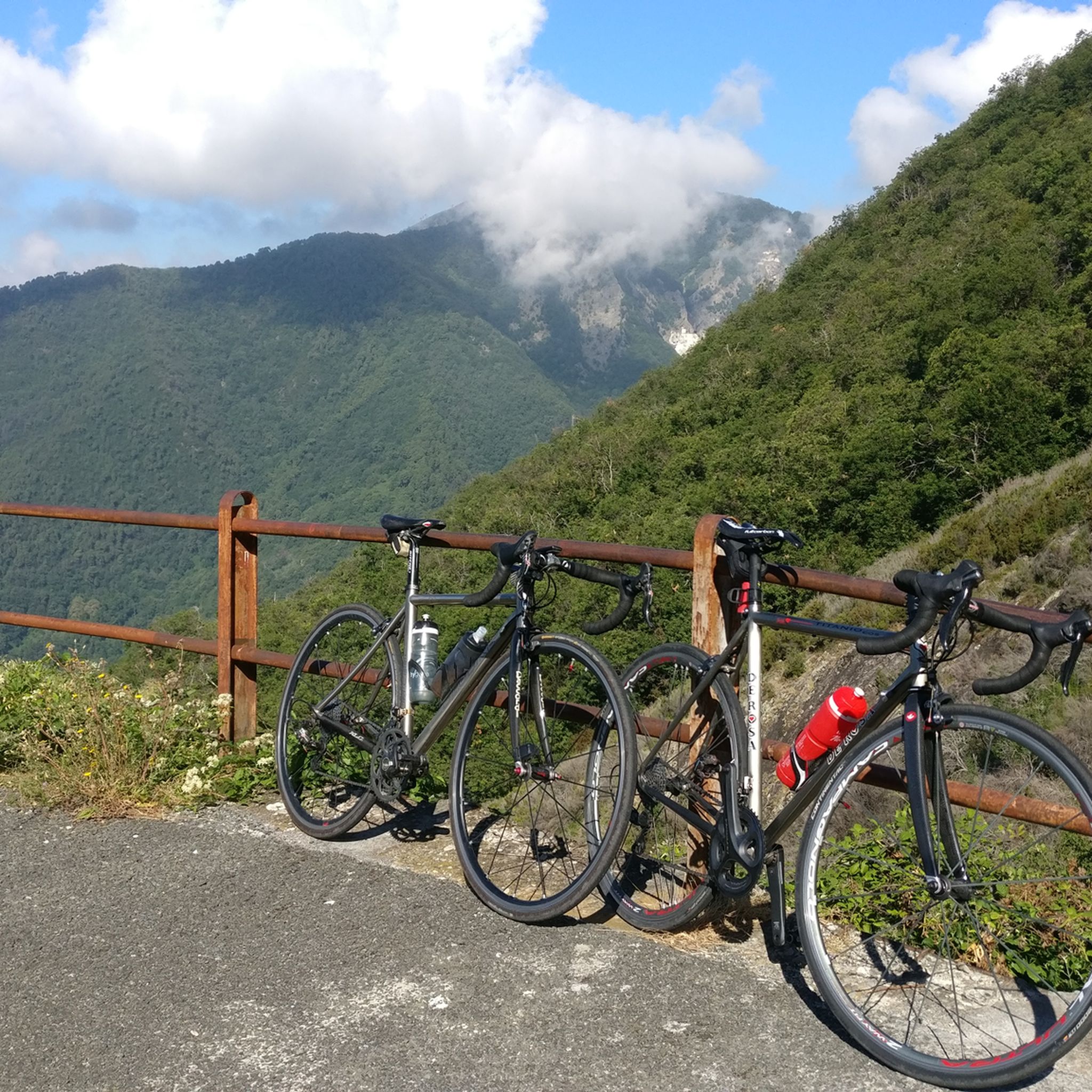
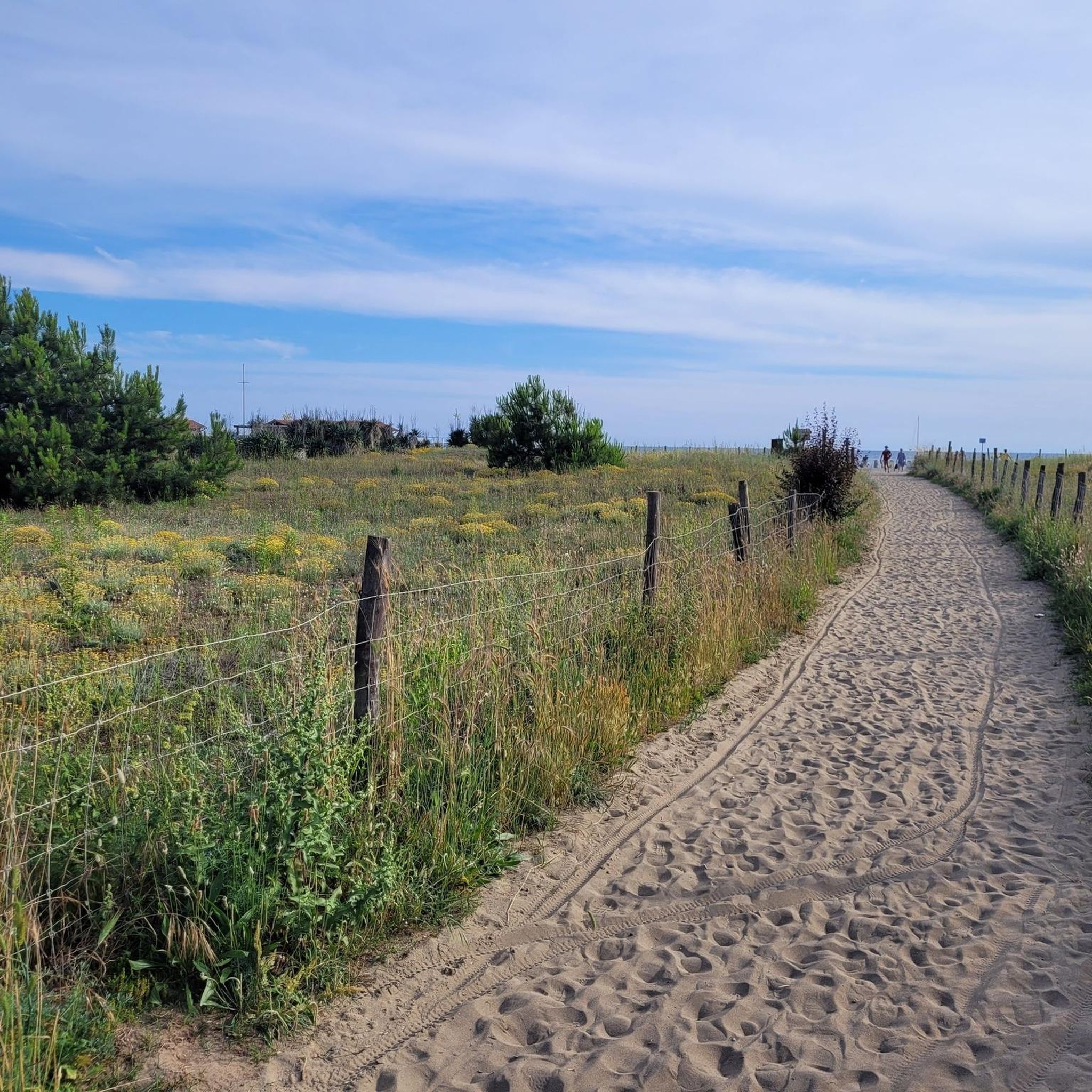
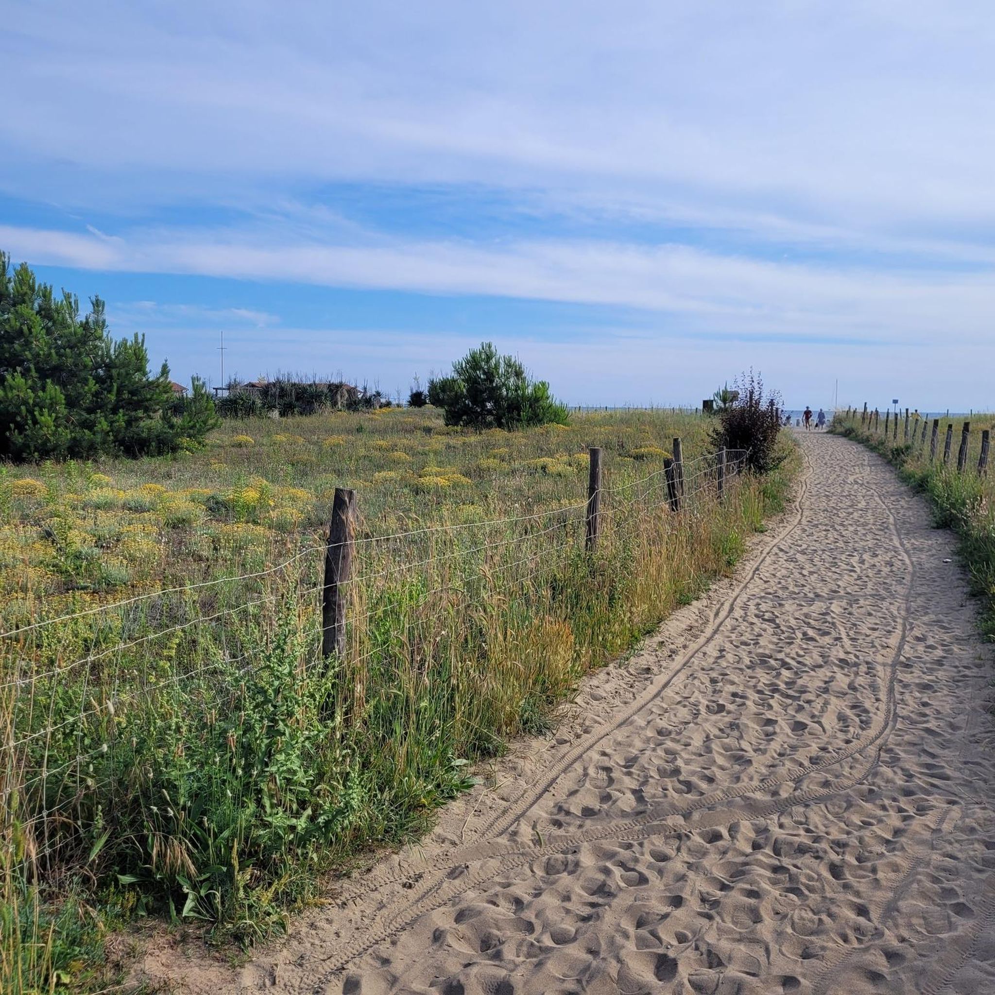
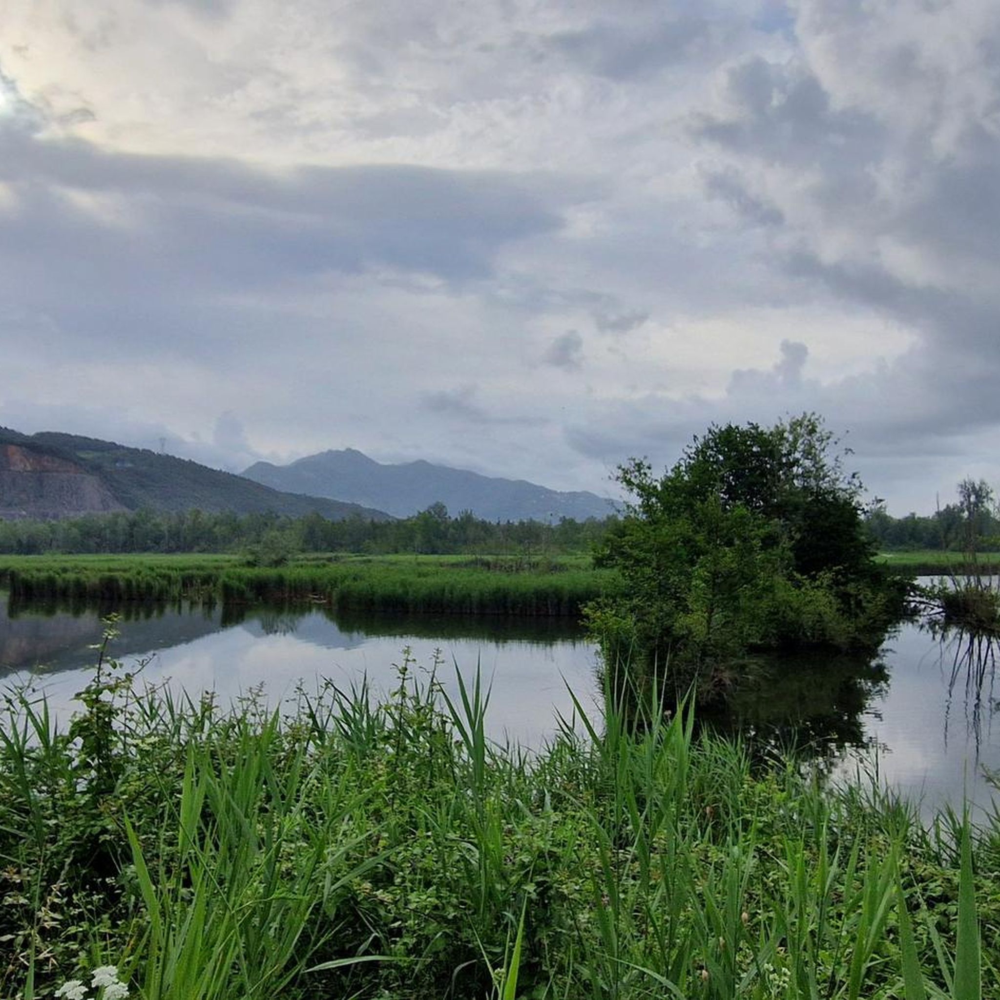

Tips from the Community

Pozzo della Madonna - Altissimo not passable in December 2025 due to a landslide at the height of the first quarry you come across, after approximately 500m of altitude difference
0
0

A beautiful refuge nestled in the mountains. I recommend booking in advance to secure a spot, even just for lunch. The trail is steep; I recommend appropriate equipment, especially footwear.
0
0

Perhaps the most beautiful refuge in the Apuan Alps
1
0

Great hideaway for a break. With a fountain outside!
0
0
Perhaps the most beautiful bivouac in the Apuan Alps!
1
0

Great view of Focoletta, Sella and Fiocca
0
0
Creste della Tambura, view of Focoletta, Sella and Fiocca
0
0
Frequently Asked Questions
How many mountaineering routes are available around Montignoso?
There are over 8 mountaineering routes around Montignoso, primarily within the Apuan Alps. These routes range from moderate to difficult, offering diverse challenges for outdoor enthusiasts.
Are there any easier mountaineering routes for beginners in Montignoso?
While most routes are considered difficult, there is one moderate mountaineering route available: the Monte Corchia – Fociomboli loop from Levigliani. This 6.5-mile (10.5 km) path explores the slopes around Monte Corchia, offering scenic views without the extreme challenge of some other trails.
What is the best time of year for mountaineering in Montignoso?
The Apuan Alps, where Montignoso is located, offer varied conditions. Spring and autumn generally provide pleasant temperatures and stable weather for mountaineering. While specific winter mountaineering options are not detailed, the region's high peaks mean that winter conditions can be challenging and require appropriate gear and experience.
Are there any circular mountaineering routes in the Montignoso area?
Yes, several routes are designed as loops. For example, the challenging Rifugio Nello Conti – Monte Tambura Summit loop from Resceto is a popular choice. Another option is the Tacca Bianca Loop loop from Arni, which offers a challenging experience in about 3 hours.
What kind of natural attractions can I expect to see along the mountaineering routes?
The routes in Montignoso are set within the dramatic Apuan Alps, known for their limestone peaks and marble quarries. You can encounter stunning mountain passes like Passo del Vestito and Tambura Pass. The region also features deep gorges such as La Crepa and Canale del Pirosetto, offering unique geological sights.
Are there any family-friendly options for outdoor activities near Montignoso, even if not full mountaineering?
While most mountaineering routes are challenging, the broader Montignoso area offers diverse outdoor activities suitable for families. Monte Pasquilio provides easier walks amidst chestnut and fir woods with spectacular coastal views. The gorges around Montignoso and mountain passes also have trails that might be more accessible for families looking for less strenuous hikes.
What do other mountaineers say about the routes in Montignoso?
The mountaineering routes in Montignoso are highly rated by the komoot community, with an average score of 4.5 stars from more than 5 reviews. Users often praise the rugged beauty of the Apuan Alps, the dramatic limestone formations, and the expansive coastal views that can be enjoyed from higher elevations.
Are permits required for mountaineering in the Apuan Alps near Montignoso?
The Montignoso area is part of the protected Apuan Alps Regional Park. While general access for hiking and mountaineering typically does not require specific permits for day trips, it's always advisable to check with local park authorities or tourist information centers for any specific regulations, especially for larger groups or overnight stays. You can find more information about the region on the Visit Tuscany website.
Is public transport available to reach mountaineering trailheads from Montignoso?
Montignoso is nestled at the foot of the Apuan Alps. While some trailheads might be accessible by local bus services, direct public transport to all remote mountaineering starting points can be limited. It is often recommended to use a car for greater flexibility to reach specific trailheads like Resceto or Levigliani, which are common starting points for the more challenging routes.
Are there places to eat or stay near the mountaineering routes in Montignoso?
Montignoso and its surrounding hamlets like Capanne, Piazza, and Sant'Eustachio offer various options for accommodation and dining. While specific cafes or pubs directly at remote trailheads might be scarce, you will find amenities in the villages before or after your mountaineering trips. The region is known for its Tuscan hospitality and local cuisine.
What are some of the more challenging mountaineering routes in the area?
For experienced mountaineers, the Montignoso area offers several difficult routes. The Rifugio Nello Conti – Monte Tambura Summit loop from Resceto is a demanding 8.0-mile (12.8 km) trail ascending to Monte Tambura. Another challenging option is the Schienale dell'Asino – Monte Sumbra loop from Arni, which covers over 11 km with significant elevation gain.
Most popular attractions around Montignoso

Get inspired with the komoot mobile app


Explore more
Browse the best Mountain Hikes & Routes in other regions.
