The best cycling routes around Istersili/Esterzili
5.0
(8)
109
riders
15
rides
Touring cycling around Istersili/Esterzili, located at an altitude of 700 meters on the slopes of Mount Santa Vittoria, offers varied terrain for cyclists. The region is characterized by rugged landscapes, significant elevation changes, and scenic mountain roads. Cyclists can explore areas with panoramic vistas, picturesque waterfalls, and ancient archaeological sites such as the Pozzo sacro di Monte Nuxi. This central-eastern Sardinian destination provides a challenging environment for touring cyclists.
Best touring cycling routes around Istersili/Esterzili
- The most popular touring cycling…
Last updated: May 11, 2026
18
riders
47.1km
04:32
1,260m
1,260m
Hard bike ride. Very good fitness required. Mostly paved surfaces. Suitable for all skill levels.
5.0
(1)
14
riders
67.5km
04:37
1,160m
1,160m
Hard bike ride. Very good fitness required. Mostly paved surfaces. Suitable for all skill levels.

Sign up for free
5.0
(2)
10
riders
75.8km
05:28
1,540m
1,540m
Hard bike ride. Very good fitness required. You may need to push your bike for some segments of this route.
8
riders
76.8km
05:33
1,660m
1,660m
Hard bike ride. Very good fitness required. Mostly paved surfaces. Suitable for all skill levels.
10
riders
45.1km
04:27
1,030m
1,030m
Hard bike ride. Very good fitness required. You may need to push your bike for some segments of this route.
Get access to more routes and recommendations from other explorers.
Sign up for free
Already have an account?
Our route recommendations are based on thousands of hikes, rides, and runs completed by other people on komoot.
Start today with a free account
Your next adventure awaits.
Login or Signup

Tips from the Community

Drinking water fountain a few kilometers after leaving Gairo taquisara. You won't find any more for several kilometers.
0
0

Beautiful island with great cycling routes, RR-Gravel and MTB.
0
0

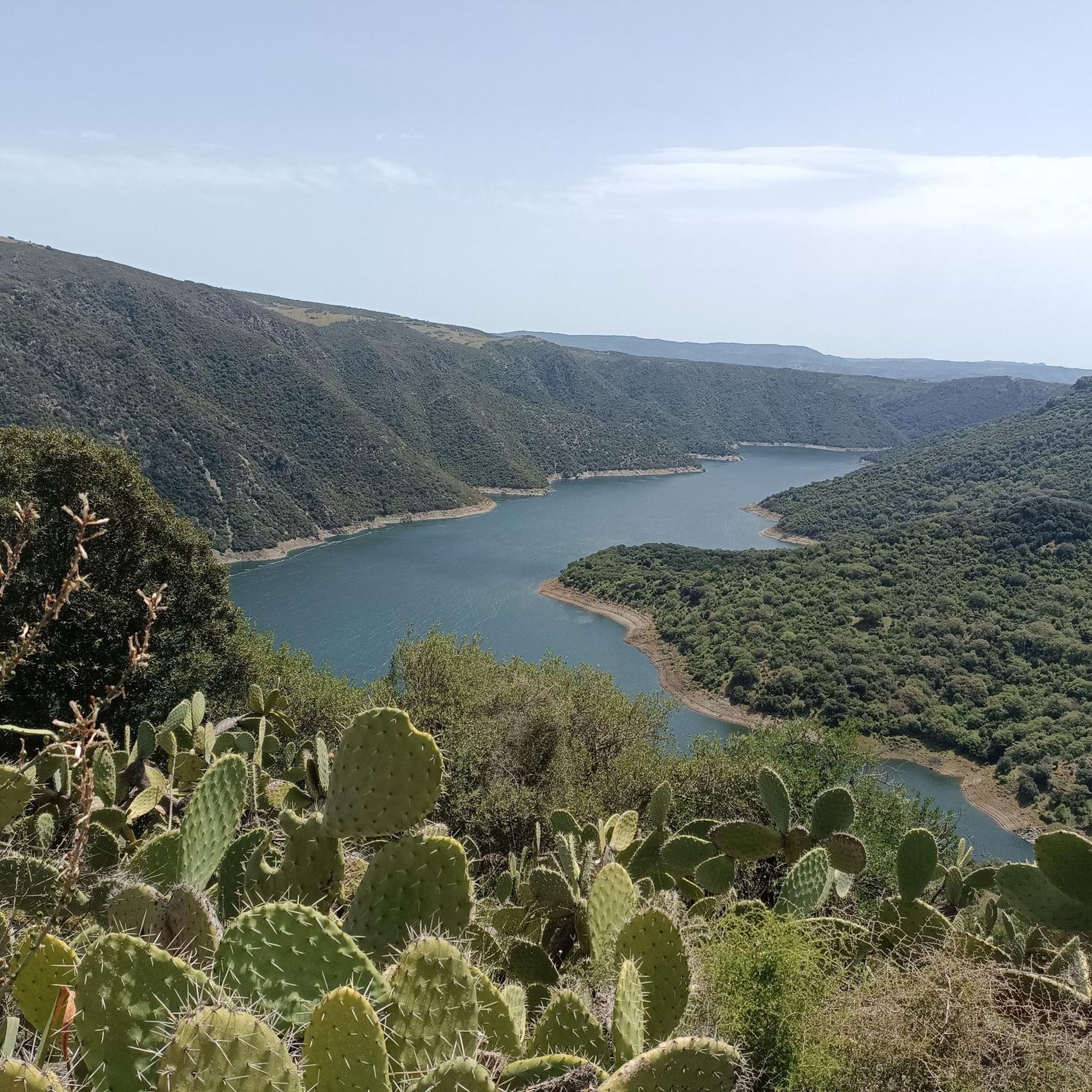
The landscapes that can be seen from the top overlooking the lake are breathtaking
0
0

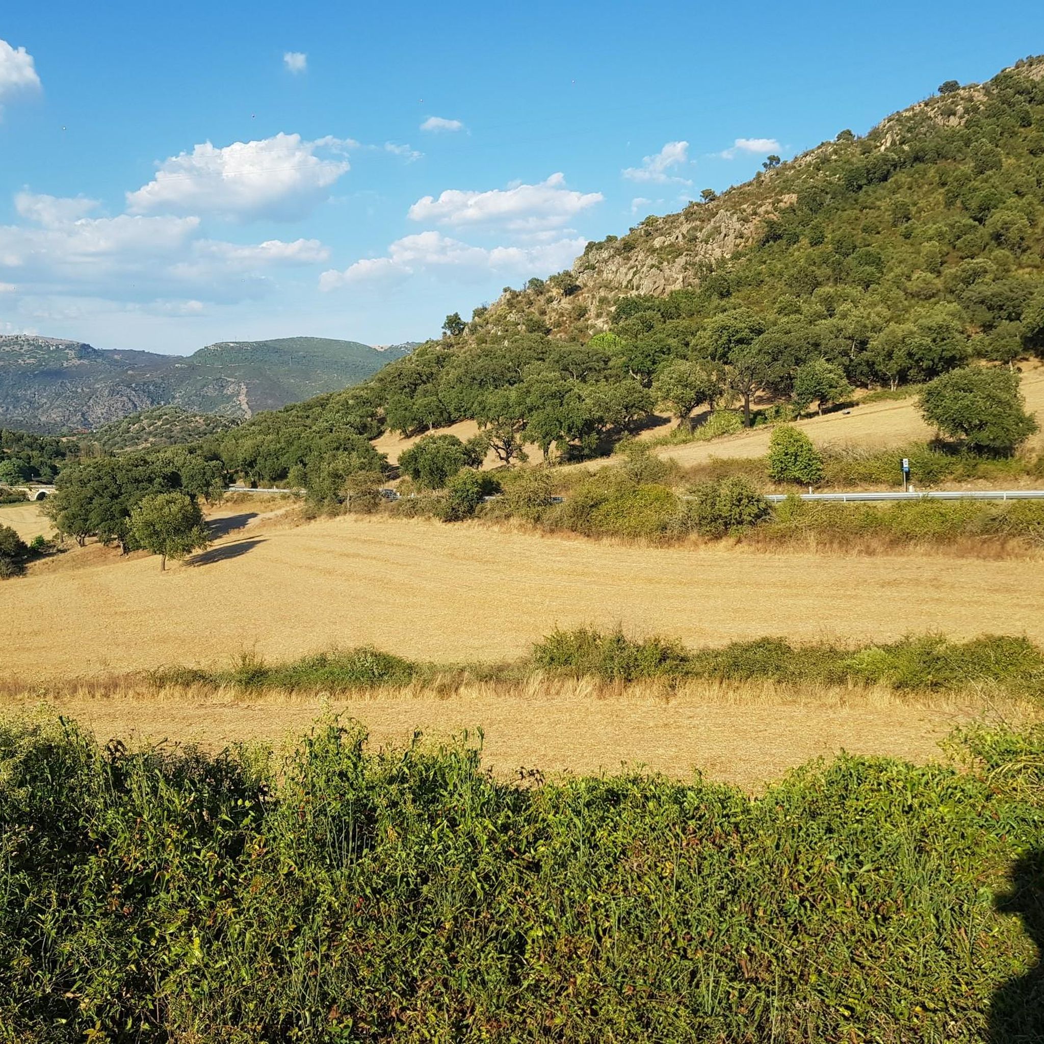
A stunning high level road, not the best surface but who cares when the views are like that!
0
0

On the slopes of the Gennargentu Mountains, in Gairo Taquisara there is one of the stations of the Mandas - Arbatax railway, the little green tourist train active in the summer season.
1
0

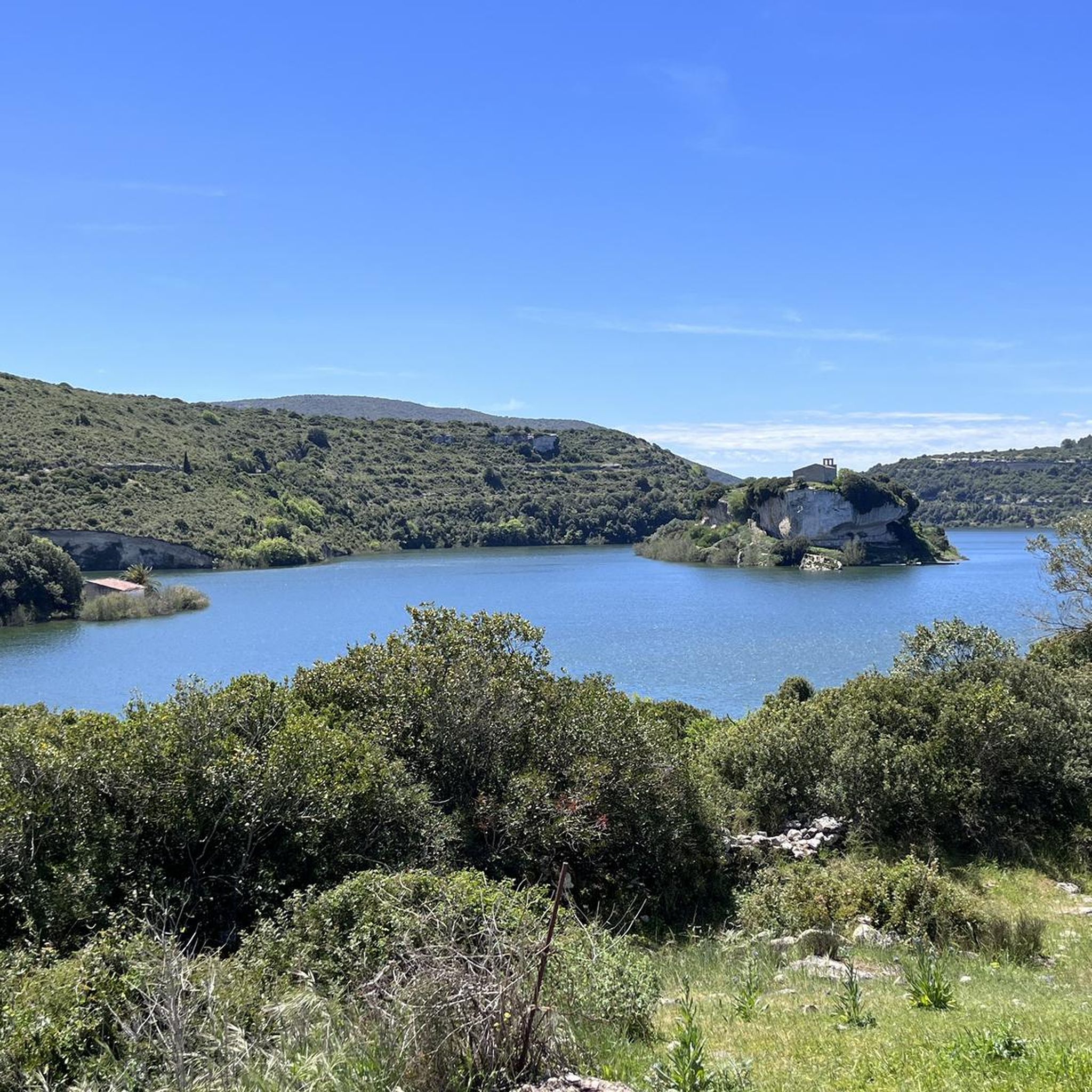
Lake generated by the damming of the Fiumendosa river. The lake was created in the 1950s for the production of electricity and the irrigation of the Campidano
0
0

Village fountain just before entering Perdasdefogu, cold water.
0
0
By the road, on the right side when ascending
0
0
Frequently Asked Questions
How many touring cycling routes are available around Istersili/Esterzili?
There are 13 touring cycling routes available around Istersili/Esterzili. The region is known for its challenging terrain, with 12 of these routes rated as difficult, and one as easy.
What is the general difficulty level of touring cycling routes in Istersili/Esterzili?
The touring cycling routes around Istersili/Esterzili are predominantly challenging, featuring significant elevation changes and mountain climbs. Out of 13 routes, 12 are rated as difficult, making it an ideal destination for experienced cyclists seeking a demanding ride. There is also one easy route available for those looking for a less strenuous option.
Are there any circular touring cycling routes in Istersili/Esterzili?
Yes, many of the touring cycling routes around Istersili/Esterzili are circular. For example, you can try the challenging Bike loop from Nurri, or the longer Fountain with cold water loop from Foghesu/Perdasdefogu, both offering a complete loop experience through varied terrain.
What natural attractions can I see along the touring cycling routes?
The region around Istersili/Esterzili is rich in natural beauty. You can encounter picturesque waterfalls like Su Stampu 'e Su Turrunu Waterfall and Piscina 'e Licona Waterfall. Some routes also pass by natural water sources, such as the Fountain with cold water loop from Foghesu/Perdasdefogu. The diverse landscapes include rugged terrain and panoramic vistas from areas like Mount Santa Vittoria.
Are there historical or archaeological sites to explore while touring cycling?
Yes, the area around Istersili/Esterzili is rich in history. You can explore significant archaeological sites from the Nuragic culture, such as the Pozzo sacro di Monte Nuxi (Sacred Well of Monte Nuxi) and Domu de Orgia. These ancient sites offer a glimpse into the region's past and can be integrated into your cycling adventures.
What do other touring cyclists say about the routes in Istersili/Esterzili?
The touring cycling routes in Istersili/Esterzili are highly regarded by the komoot community, holding an average rating of 5.0 stars from over 10 reviews. Cyclists often praise the challenging mountain climbs, scenic roads, and the opportunity to explore ancient archaeological sites, making for a unique and rewarding experience.
What is the best time of year to go touring cycling in Istersili/Esterzili?
Given the region's diverse topography and challenging mountain roads, spring and autumn generally offer the most pleasant conditions for touring cycling in Istersili/Esterzili. Temperatures are milder, and the natural scenery is vibrant, making for a more comfortable and enjoyable ride compared to the heat of summer or potential chill of winter.
Are there any routes that offer particularly scenic viewpoints?
Absolutely. The region is known for its panoramic vistas. Routes like the View of Seulo – Sadali Waterfall loop from Orroli lead through mountainous landscapes that offer breathtaking views of areas like Sarrabus, Gerrei, and Sarcidano, extending even further from Mount Santa Vittoria.
Are the touring cycling routes around Istersili/Esterzili suitable for families or dogs?
Given that most touring cycling routes in Istersili/Esterzili are rated as difficult with significant elevation changes, they are generally more suited for experienced cyclists. While there is one easy route, the overall challenging nature might not be ideal for young families or dogs accompanying cyclists on longer, more strenuous rides. Always check individual route details for specific suitability.
Is there public transport or parking available for accessing the cycling routes?
While specific public transport options directly to every trailhead are not detailed, Esterzili is situated at an altitude of 700 meters, suggesting road access. For those arriving by car, it's advisable to research parking availability in the starting towns of specific routes, such as Nurri or Orroli, before your trip.
Are there any places to stop for refreshments or rest along the routes?
Some routes pass by natural water sources, such as the 'Fountain with cold water' mentioned in the Fountain with cold water loop from Foghesu/Perdasdefogu. While specific cafes or pubs directly on the trails are not detailed, planning your route to pass through villages or towns like Esterzili, Nurri, or Orroli will provide opportunities for refreshments and rest stops.
What is the longest touring cycling route available?
The longest touring cycling route in the area is the Sadali Waterfall – Fontana Bellissima loop from Sadali-Seulo, which covers a distance of 80.8 km (50.2 miles) and typically takes around 5 hours 49 minutes to complete. This difficult route features substantial elevation gain and descent.
Most popular attractions around Istersili/Esterzili

Get inspired with the komoot mobile app


Explore more
Browse the best Cycling routes in other regions.
