The best running trails around Campodolcino
4.8
(13)
1,157
runners
20
runs
Jogging routes Campodolcino are set within the Valchiavenna region, characterized by an alpine environment and the majestic peaks of the Lepontine Alps. The area offers diverse landscapes for running, including trails that wind through valleys, past lakes, and across alpine pastures. These running trails provide varied terrain, from accessible paths to more challenging routes, catering to different fitness levels.
Best jogging routes around Campodolcino
- The most popular jogging route is Rifugio Mai Tardi – Rifugio Pasini loop from Madesimo,…
Last updated: July 4, 2026
75
runners
9.46km
01:02
110m
110m
Hard run. Good fitness required. Sure-footedness, sturdy shoes and alpine experience required.
21
runners
4.62km
00:32
80m
70m
Easy run. Great for any fitness level. Mostly paved surfaces. Suitable for all skill levels.

Sign up for free
14
runners
10.2km
01:18
200m
200m
Hard run. Good fitness required. Sure-footedness, sturdy shoes and alpine experience required.
11
runners
7.62km
01:08
180m
180m
Hard run. Good fitness required. Sure-footedness, sturdy shoes and alpine experience required.
10
runners
8.30km
01:09
340m
340m
Hard run. Very good fitness required. Sure-footedness, sturdy shoes and alpine experience required.
Get access to more routes and recommendations from other explorers.
Sign up for free
Already have an account?
Our route recommendations are based on thousands of hikes, rides, and runs completed by other people on komoot.
Start today with a free account
Your next adventure awaits.
Login or Signup
Popular around Campodolcino
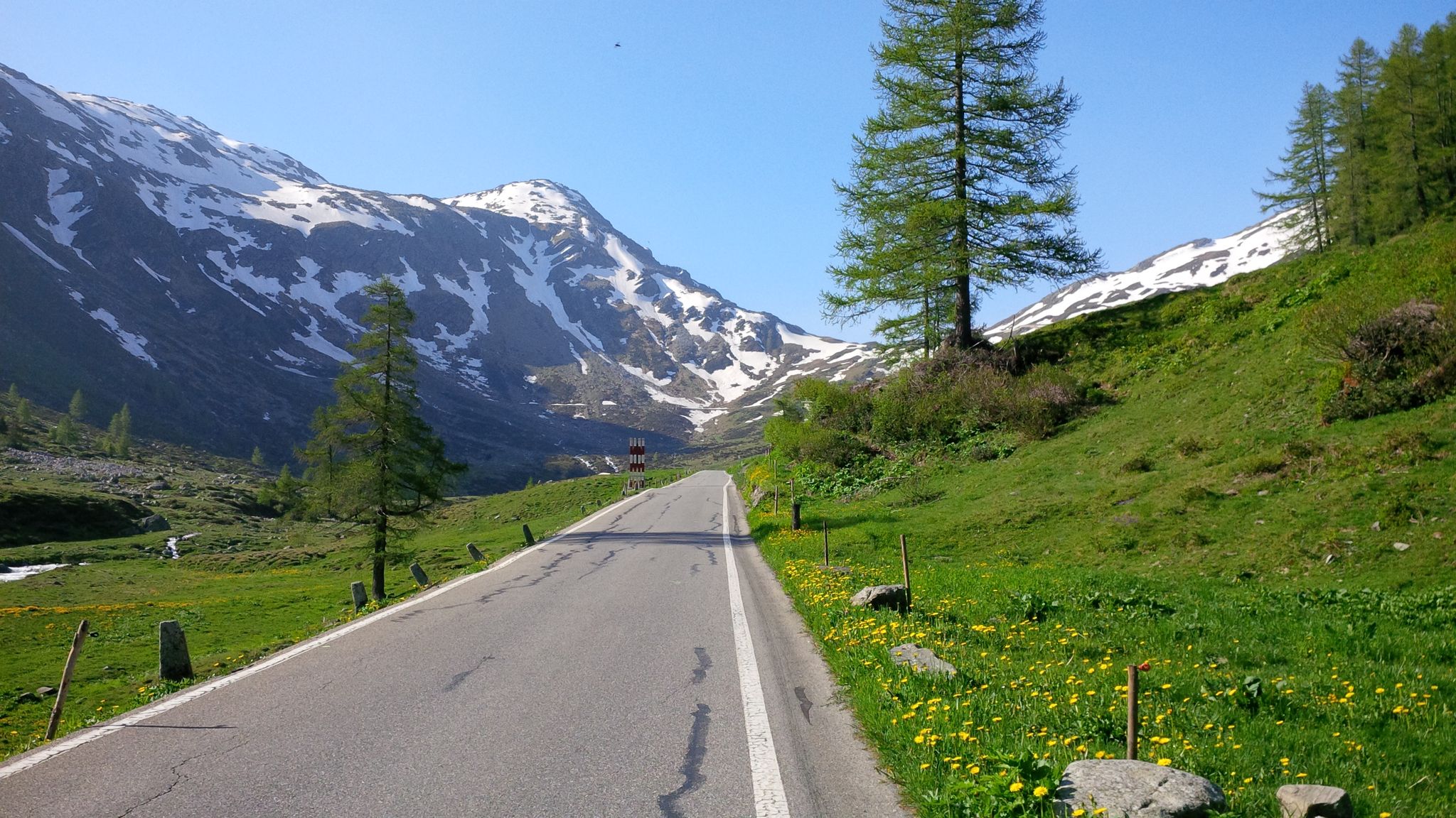
Effort tastes sweet – the most beautiful climbs in Italy’s Valchiavenna
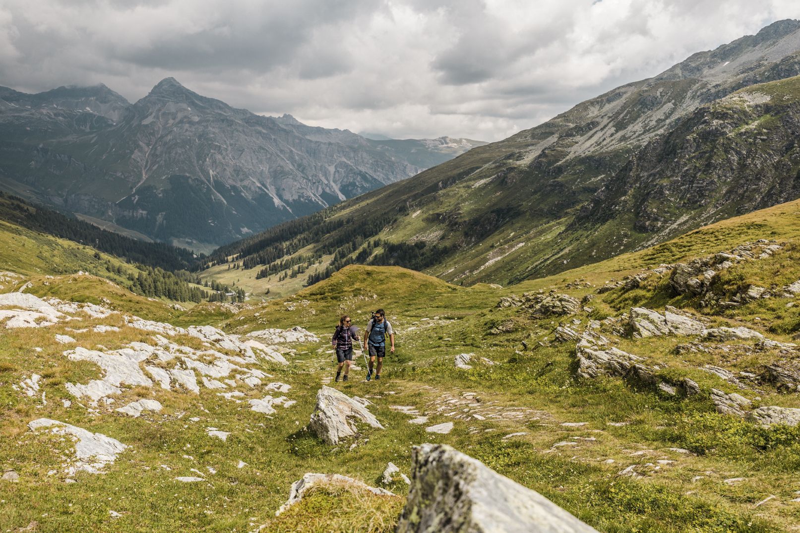
Between deep canyons, waterfalls and turquoise lakes – Via Spluga
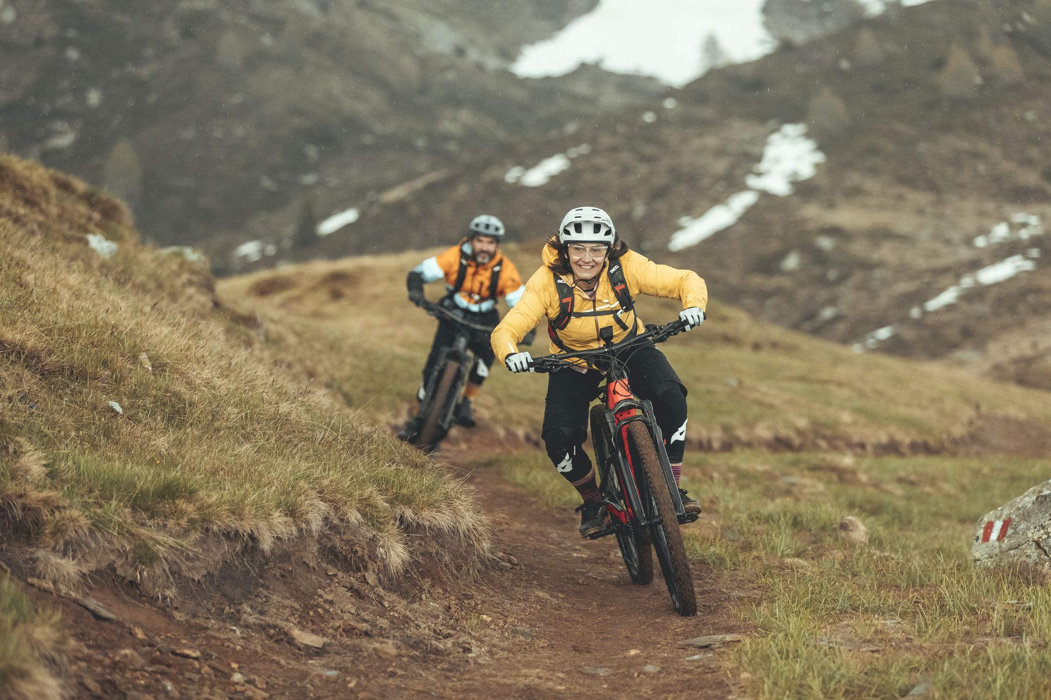
Valtellina in MTB: è un'avventura
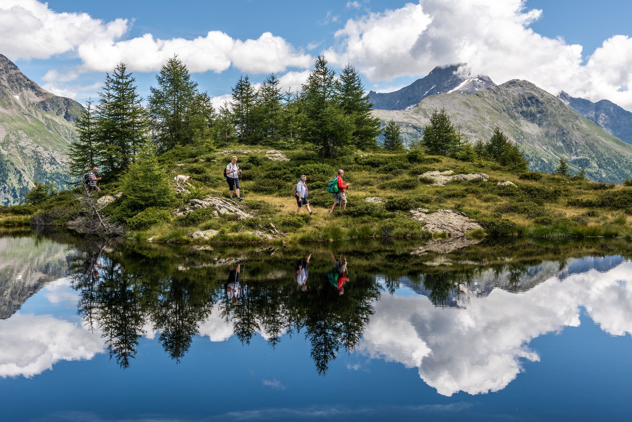
Oasi di tranquillità alpina – 5 laghi da non perdere in Valchiavenna
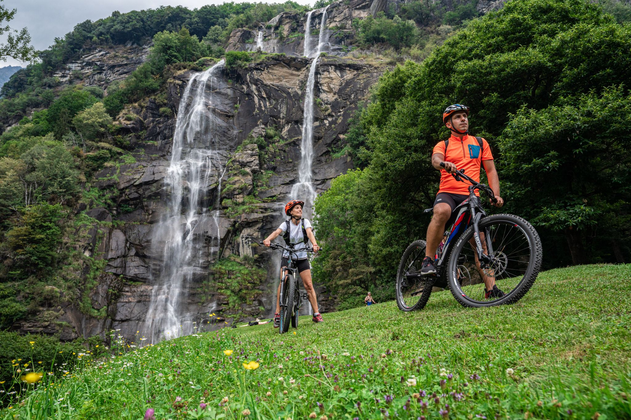
La Valchiavenna in MTB – itinerari da non perdere
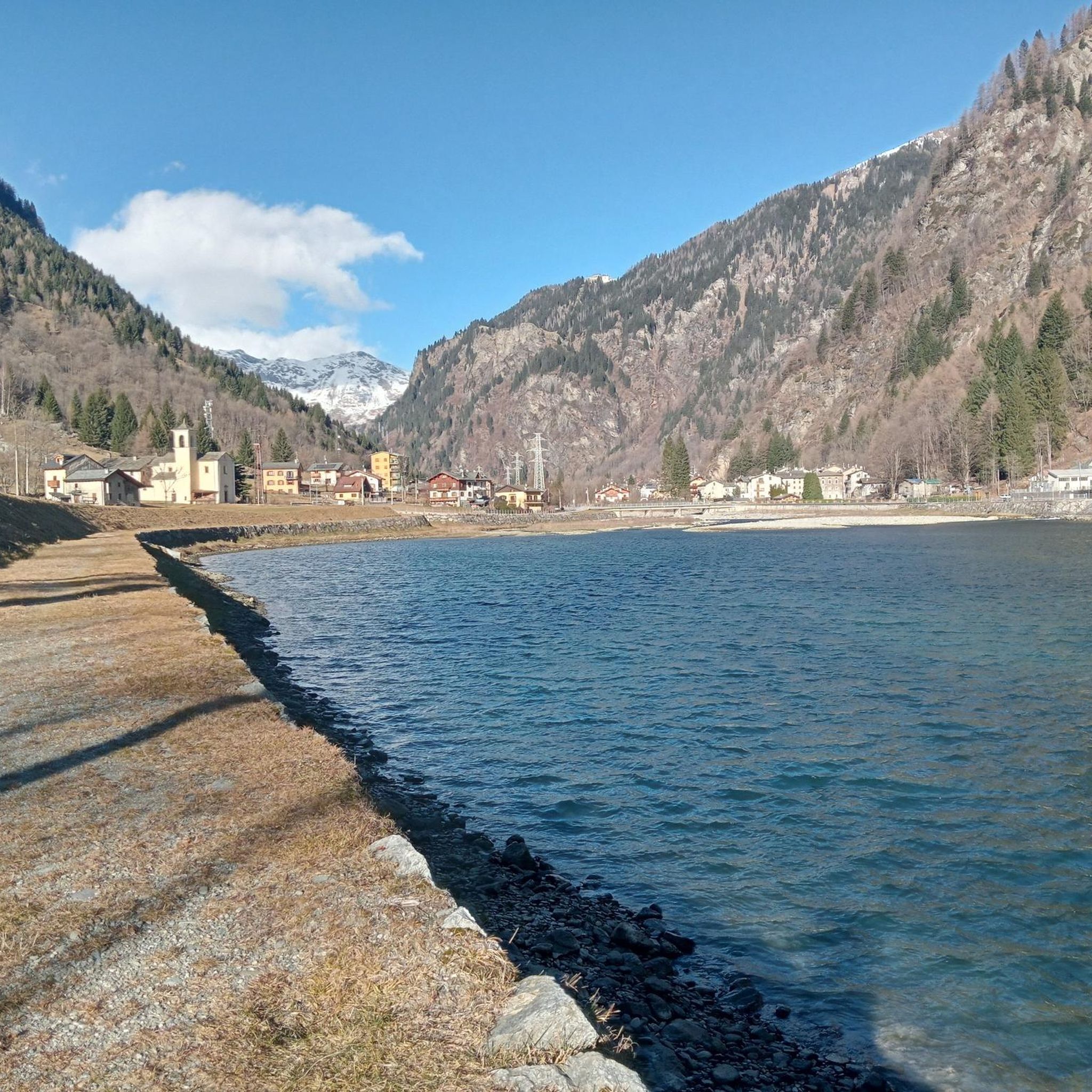
Hiking around Campodolcino
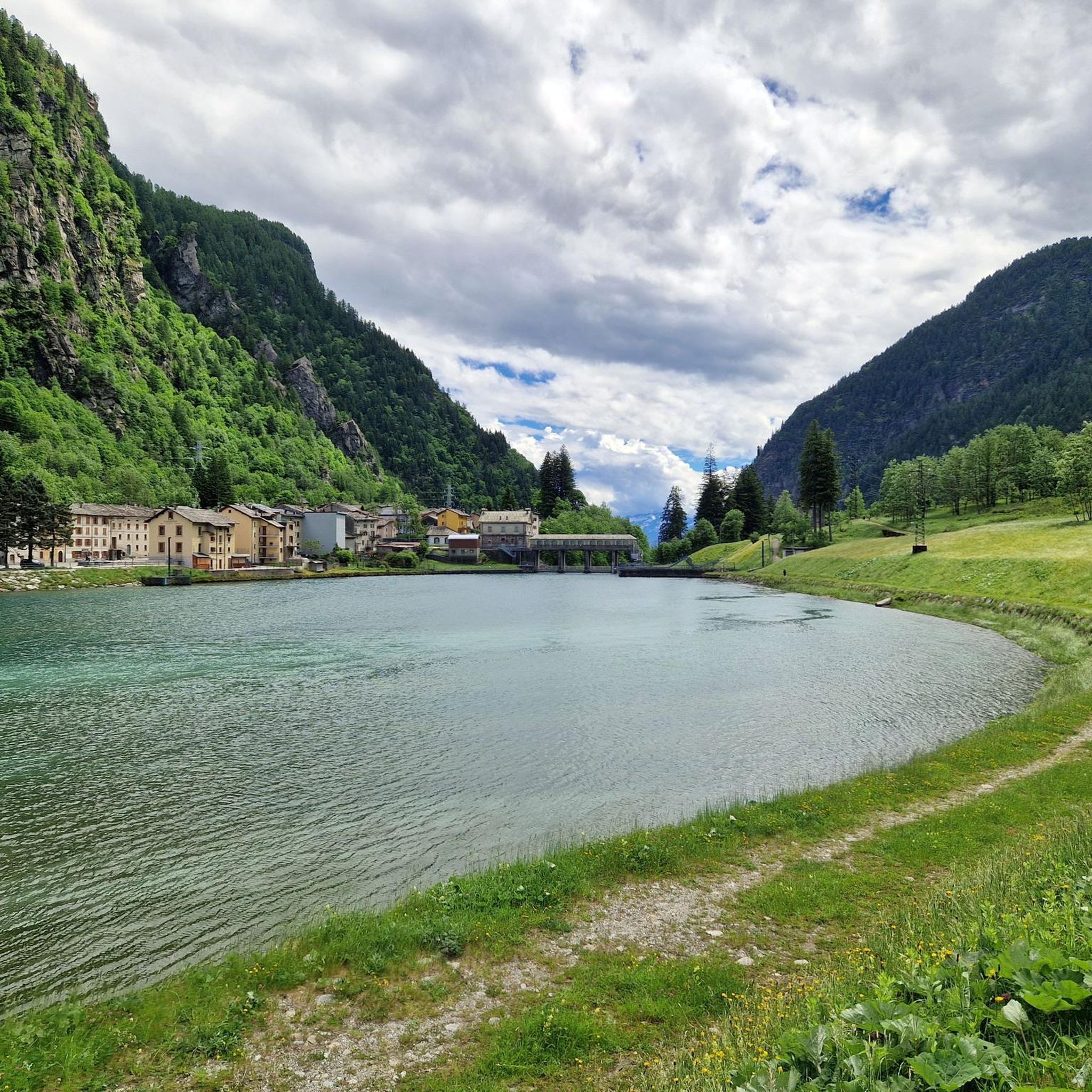
Road Cycling Routes around Campodolcino
MTB Trails around Campodolcino
Gravel biking around Campodolcino
Cycling around Campodolcino
Other adventures around Campodolcino


Tips from the Community


From here, a short climb up steps to Fraciscio
0
0

Once the first 10KM of climbing is over, a stop to visit the beautiful stone bridge and stock up on water in the central square of Campodolcino. From there you have to decide whether to continue along the fantastic old road with its famous terraced hairpin bends or take the road towards Isola. the two roads rejoin at the crossroads for Madesimo or Passo Spluga. I recommend Strada Vecchia on the way out and Isola on the way back
0
0

Bridge over the Rabbiosa stream in Campodolcino.
1
0

Beautiful old stone bridge. The Via Spluga makes a small detour to accommodate this bridge.
2
0

Campodolcino (Candulscìn in dialect) is the second of the three municipalities of Valle Spluga that you meet going up to Passo dello Spluga. The town has historically played a role of great importance since Roman times, due to its strategic position on the road that connected the two valleys beyond the Pass.
2
0
Frequently Asked Questions
How many running routes are available in Campodolcino?
Campodolcino offers a wide selection of running routes, with over 60 trails to explore. These routes cater to various fitness levels, from easy paths to more challenging mountain runs.
What are the different difficulty levels for jogging routes in Campodolcino?
The running routes in Campodolcino offer a good mix of challenges. You'll find 3 easy routes perfect for beginners, 22 moderate trails for those looking for a bit more, and 41 difficult routes for experienced runners seeking a significant challenge in the alpine environment.
Are there any family-friendly jogging routes in Campodolcino?
Yes, Campodolcino has accessible paths suitable for families. While specific family-friendly routes are not detailed, the region's diverse trails include easier options. For a different kind of family adventure, consider the Spluga Park Adventure at Mottala, which offers suspended trails among trees with varying difficulty levels.
What kind of terrain can I expect on the running trails around Campodolcino?
The terrain in Campodolcino is predominantly alpine, offering diverse landscapes. You can expect trails that wind through valleys, past beautiful lakes like Lago Azzurro, and across scenic alpine pastures such as Alpe Motta. Some routes feature deep canyons and offer breathtaking views of the Lepontine Alps.
Are there any circular running routes in the Campodolcino area?
Yes, there are several circular running routes available. For example, the Rifugio Mai Tardi – Rifugio Pasini loop from Madesimo is a popular option, offering a challenging 5.4-mile (8.7 km) run through the alpine landscape. Another great choice is the Lago degli Andossi – Rifugio Giovanni Bertacchi loop from Madesimo, an 8.2-mile (13.2 km) path navigating through the Valchiavenna's alpine environment.
What natural features or scenic viewpoints can I find along the running routes?
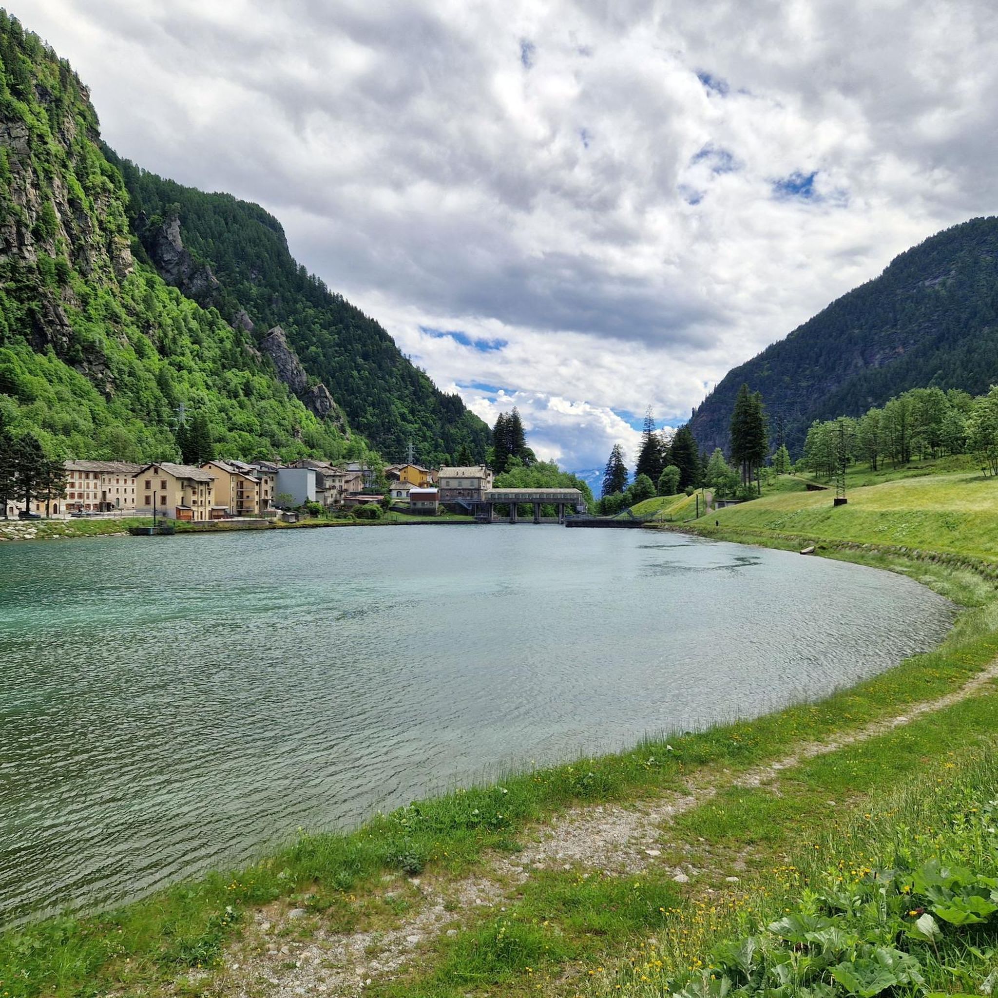
Campodolcino's running routes are rich in natural beauty. You can expect stunning alpine views, turquoise lakes, and deep canyons. Notable features include Lago Azzurro, a beautiful lake that serves as a starting point for panoramic trails, and the alpine pasture of Alpe Motta, known for its magical landscapes. The region is also characterized by the majestic peaks of the Lepontine Alps.
Are there any specific landmarks or attractions near the jogging trails?
Yes, the region around Campodolcino offers several interesting landmarks and attractions. You can explore the dramatic Cardinello Gorge or visit the unique Marmitte dei Giganti Nature Reserve. The area also features impressive mountain passes like Splügen Pass, which offer spectacular scenery.
What do other runners say about the jogging routes in Campodolcino?
The running routes in Campodolcino are highly regarded by the komoot community, boasting an impressive average rating of 4.75 stars from over 9 reviews. More than 1000 runners have used komoot to explore the varied terrain, often praising the stunning alpine scenery and the diverse range of trails available for all abilities.
Are there any easy or beginner-friendly running routes in Campodolcino?
Yes, Campodolcino offers 3 easy routes that are ideal for beginners or those looking for a more relaxed run. These paths provide a great way to enjoy the beautiful natural surroundings without overly challenging terrain. The trails around Lago Azzurro are often suitable for beginners, offering great panoramas in a fantastic natural setting.
Is there public transport access to the running trails in Campodolcino?
Campodolcino is situated within the Valchiavenna region, which generally has public transport options connecting various villages. While specific stops for each trail are not detailed, it's advisable to check local bus schedules for connections to areas like Madesimo or other starting points for the routes.
Can I find parking near the jogging routes in Campodolcino?
Many trailheads and popular starting points in and around Campodolcino, especially in areas like Madesimo, typically offer parking facilities. It's common for outdoor activity hubs in alpine regions to provide designated parking for visitors accessing trails.
What is the best time of year to go running in Campodolcino?
The alpine environment of Campodolcino makes summer and early autumn ideal for running, when trails are clear of snow and the weather is generally mild. During these seasons, you can fully enjoy the lush landscapes and breathtaking views. Winter running is also possible on specific trails, especially those maintained for Nordic walking or snowshoeing, but requires appropriate gear and caution.
Are there any routes that pass by lakes or water features?
Absolutely! The region is known for its beautiful water features. Lago Azzurro is a prominent lake that serves as a starting point for several trails, offering stunning reflections and a serene running experience. Additionally, the artificial lake at 'Palude del fieno' in Gualdera is another notable attraction that runners might encounter.
Most popular routes around Campodolcino
Most popular attractions around Campodolcino

Get inspired with the komoot mobile app


Explore more
Browse the best Running Trails & Routes in other regions.
