The best walks and hikes around Campodolcino
4.5
(971)
4,939
hikers
82
hikes
Hiking around Campodolcino offers diverse alpine landscapes in the Valchiavenna region, characterized by towering mountains and the Liro river. The area features numerous alpine lakes, including Lago Azzurro and Lake Palù, alongside impressive waterfalls like Acquafraggia and Cascata di Pianazzo. Hikers can explore a network of trails traversing valleys, historic routes, and offering views of peaks such as Pizzo Spadolazzo. This varied terrain provides opportunities for different hiking experiences, from riverside paths to challenging mountain ascents.
Best hiking trails around…
Last updated: September 26, 2026
4.7
(71)
397
hikers
6.90km
03:31
630m
630m
Embark on a challenging hike along the Old Mule Track to Angeloga Pass, a difficult route spanning 4.3 miles (6.9 km) with a substantial 2059 feet (628 metres) of elevation…
4.4
(23)
84
hikers
8.70km
03:02
220m
220m
Hike the historic Old Spluga Way from Campodolcino to Lake d'Isola, a moderate 5.4-mile route with alpine views and varied terrain.

4.8
(8)
35
hikers
4.81km
01:32
200m
200m
Moderate hike. Great for any fitness level. Mostly accessible paths. Sure-footedness required.
4.5
(10)
53
hikers
16.4km
05:45
910m
920m
Alpine trail through Valchiavenna's stone villages, waterfalls, and historic Via Spluga trade route.
4.6
(63)
380
hikers
6.31km
03:24
620m
620m
Moderate hike. Good fitness required. Mostly accessible paths. Sure-footedness required.
Get access to more routes and recommendations from other explorers.
Already have an account?
Our route recommendations are based on thousands of hikes, rides, and runs completed by other people on komoot.
Start today with a free account
Your next adventure awaits.
Popular around Campodolcino
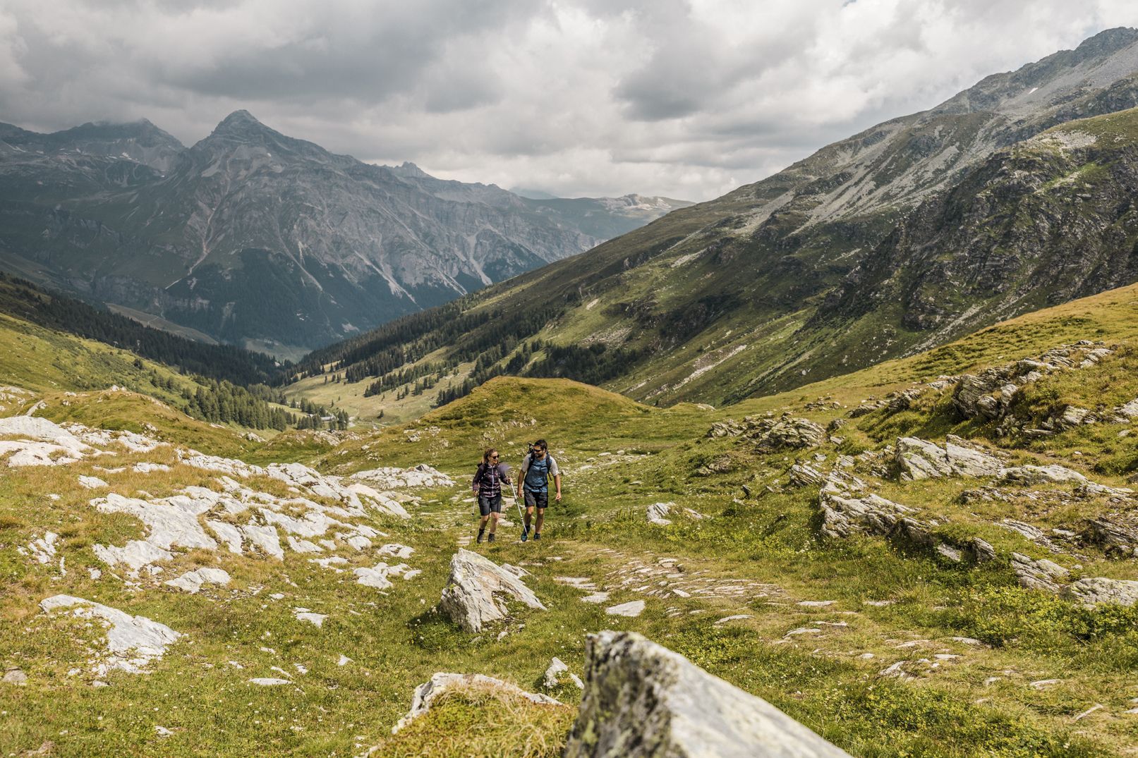
Between deep canyons, waterfalls and turquoise lakes – Via Spluga
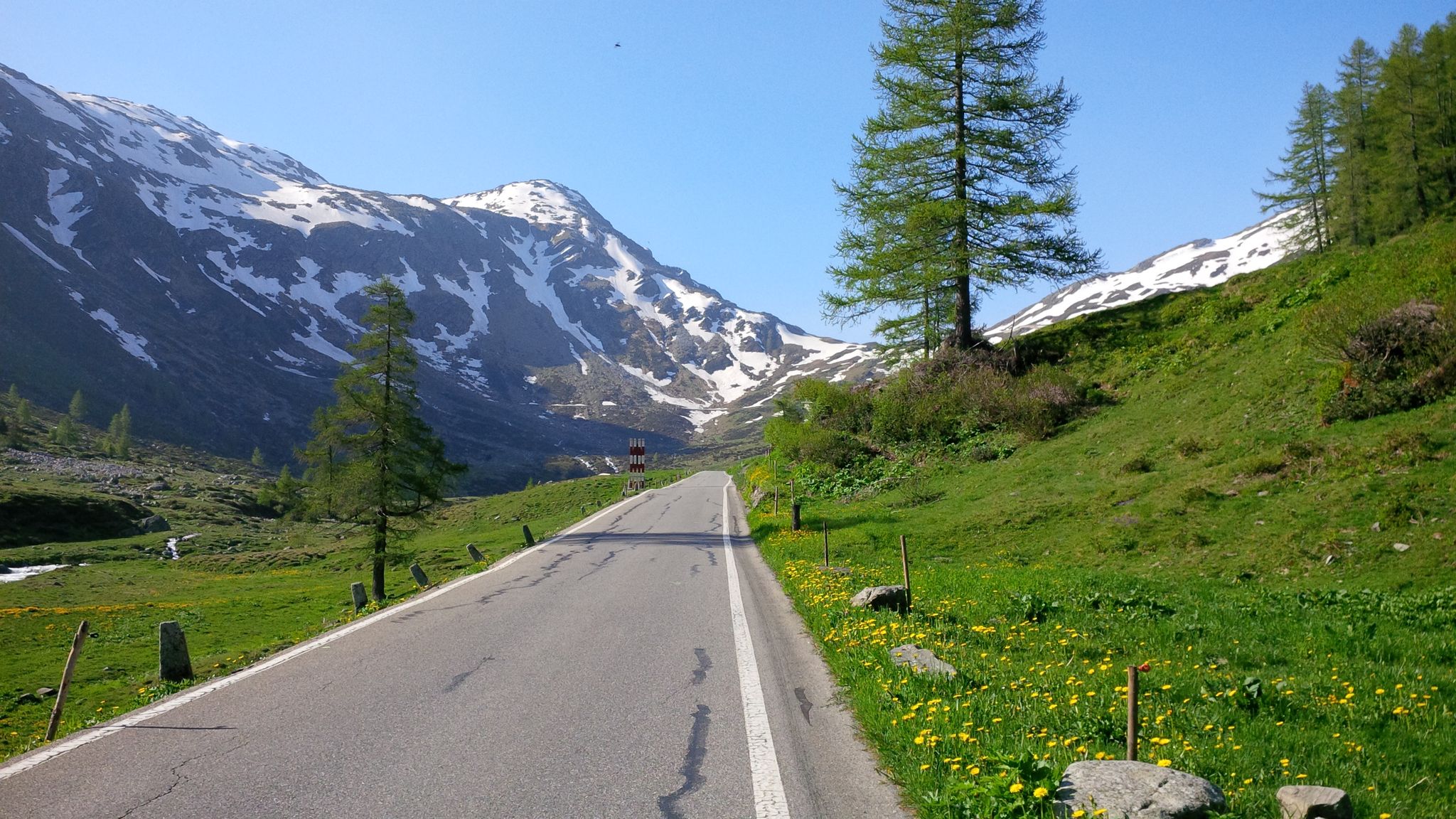
Effort tastes sweet – the most beautiful climbs in Italy’s Valchiavenna
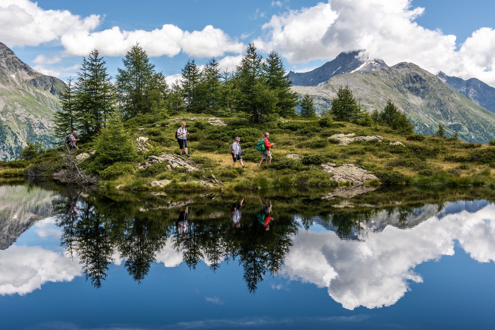
Oasi di tranquillità alpina – 5 laghi da non perdere in Valchiavenna
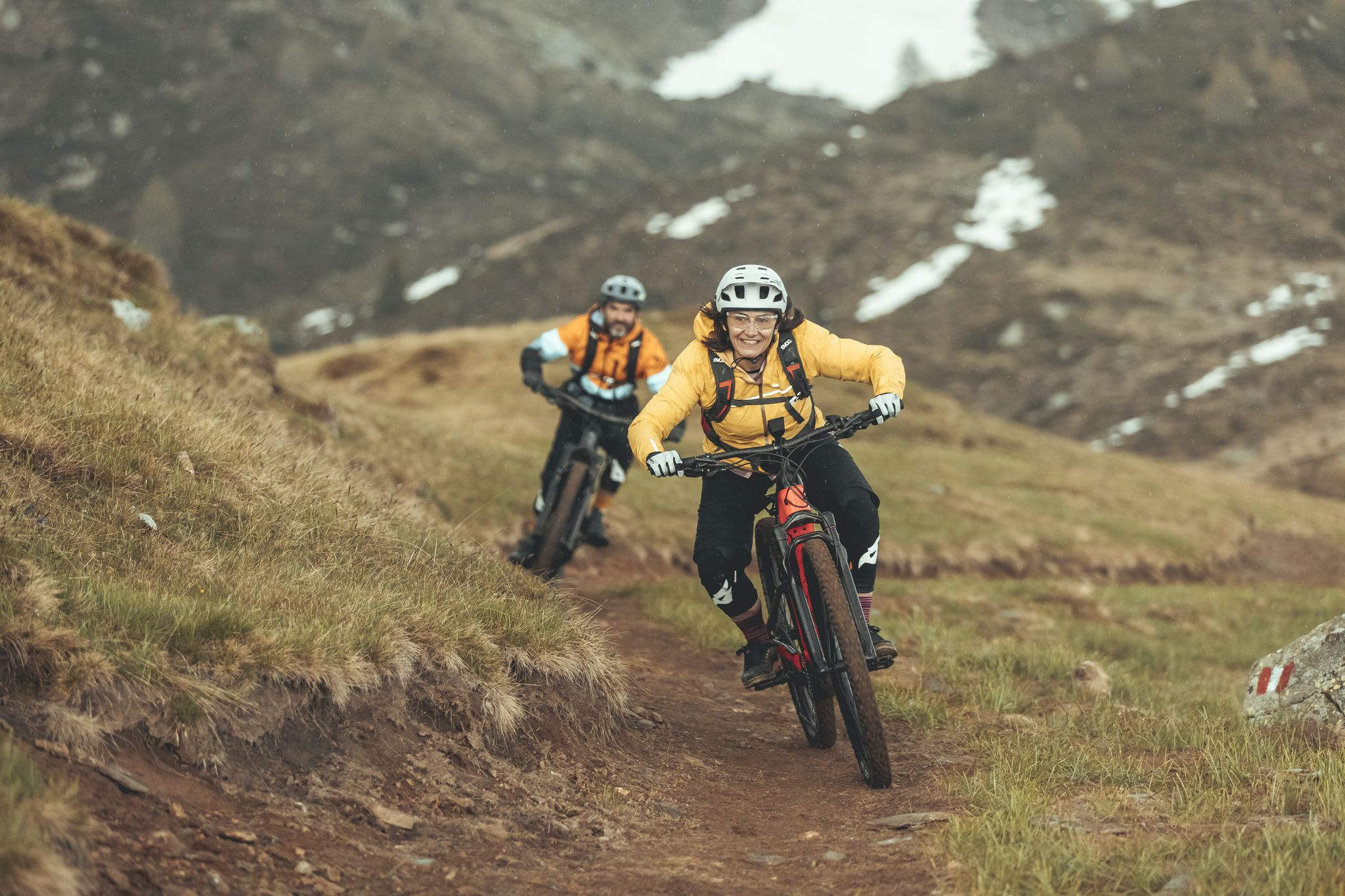
Valtellina in MTB: è un'avventura
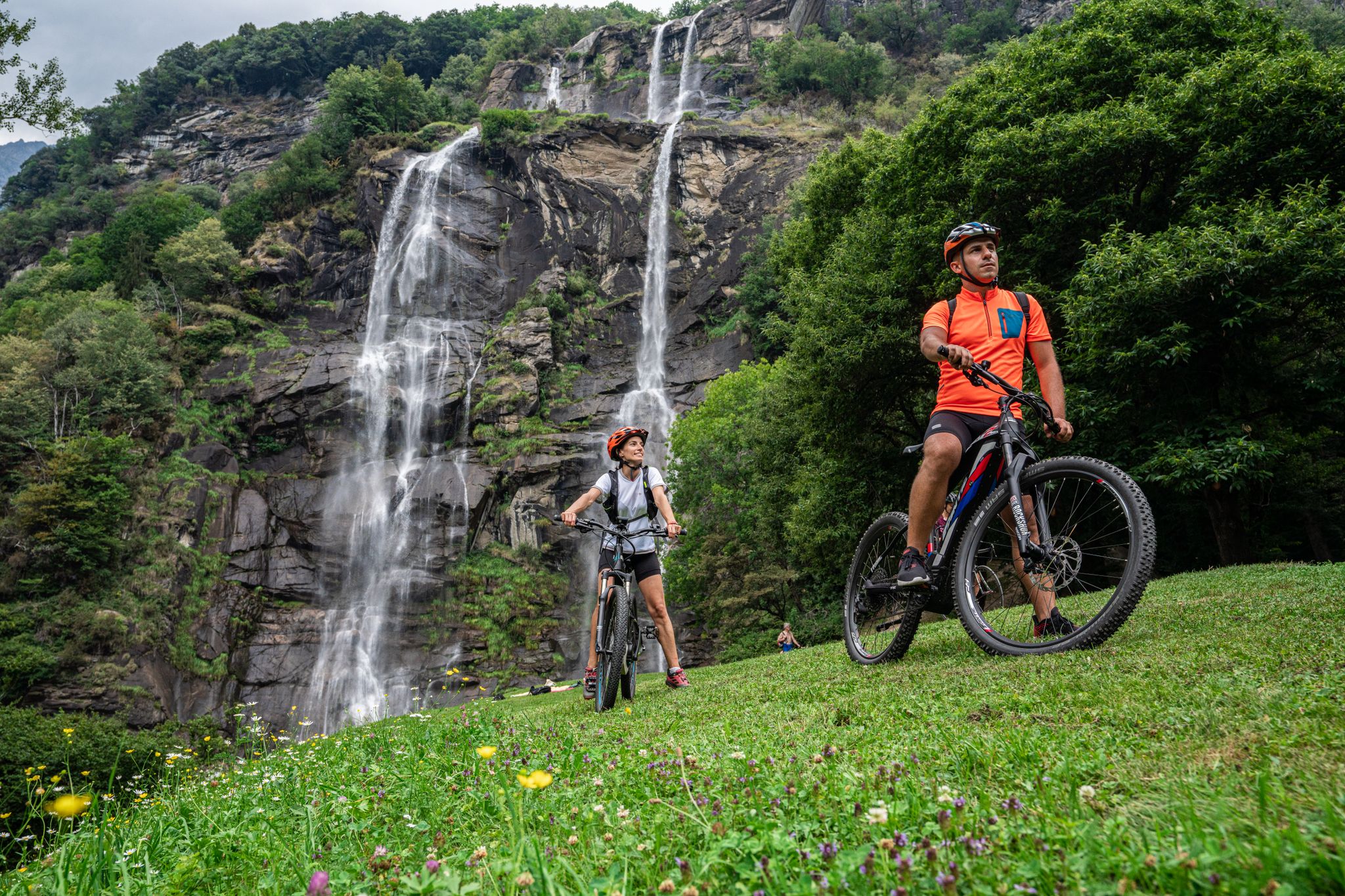
La Valchiavenna in MTB – itinerari da non perdere
Road Cycling Routes around Campodolcino
MTB Trails around Campodolcino
Cycling around Campodolcino
Gravel biking around Campodolcino
Running Trails around Campodolcino
Other adventures around Campodolcino


Tips from the Community


Enjoy nature 🥰 Carpe diem It's beautiful here, but unfortunately there are also a lot of people here
4
0
What a wonderful feeling to stand here with the Signora and see the 30 European flags fluttering in the breeze. What a beautiful place for the European community. Take good care of our beautiful Europe and the whole world.
4
0

Spectacular mountain pasture and on the way to the Motto di Bondeno
0
0
Beautiful, well-kept Alpine pasture located in a panoramic location.
0
0


From here, a short climb up steps to Fraciscio
0
0

Parking and starting point for the Chiavenna refuge.
1
0
Frequently Asked Questions
How many hiking trails are available around Campodolcino?
Campodolcino offers a wide variety of hiking experiences, with over 80 trails recorded on komoot. These range from easy strolls to challenging mountain ascents, ensuring options for all skill levels.
What is the best time of year to go hiking in Campodolcino?
The best time for hiking in Campodolcino is generally from late spring through early autumn (May to October), when the alpine trails are clear of snow and the weather is most favorable. Summer offers lush green landscapes and access to higher elevations, while autumn brings stunning fall colors to the valleys.
Are there easy hiking trails suitable for beginners in Campodolcino?
Yes, Campodolcino has several easy trails perfect for beginners or those seeking a relaxed walk. There are 16 easy routes available, often following riverside paths or lower valley sections, providing gentle gradients and beautiful scenery.
What kind of terrain can I expect on hikes in Campodolcino?
Hiking in Campodolcino offers diverse terrain, from gentle paths along the Liro river to challenging ascents through alpine pastures and rocky mountain trails. You'll encounter stunning natural features like alpine lakes, waterfalls, and dramatic mountain passes, with routes often traversing historic mule tracks and well-maintained trails.
Can I find trails that lead to alpine lakes in Campodolcino?
Absolutely. The region is dotted with picturesque alpine lakes. A popular moderate route is the Climb to Lago Azzurro from Motta, which leads to the beautiful Lago Azzurro. Other notable lakes in the area include Lake Palù, Lago d'Isola, Lago d'Emet, and Lago Nero, many of which are accessible via various hiking paths.
Are there any hikes in Campodolcino that feature waterfalls?
Yes, the Campodolcino area is rich in impressive water features. While not directly on every trail, the renowned Acquafraggia Waterfalls in Piuro-Valchiavenna are a recognized Natural Monument nearby. Closer to Campodolcino, you can admire the Cascata del Catino and the spectacular Cascata di Pianazzo, often accessible via easy walks from nearby Madesimo.
What historical sites or landmarks can I explore while hiking near Campodolcino?
The region around Campodolcino is steeped in history. You can hike sections of the ancient Via Spluga, a historic trade route. Additionally, consider visiting the historic village of Savogno, accessible by a long staircase, or exploring the Cardinello Gorge, a dramatic section of the Via Spluga. The Museum of the Via Spluga and the Val San Giacomo also offers insights into the region's past.
Are there any circular hiking routes around Campodolcino?
Yes, for those who prefer not to retrace their steps, there are circular routes available. One challenging option is the Alpe Angeloga – Chiavenna Hut loop from Campodolcino, which takes you through stunning alpine landscapes and past mountain huts.
Is Campodolcino accessible by public transport for hikers?
Campodolcino is generally well-connected by public transport, making it feasible for hikers to access trailheads. The Valchiavenna region has bus services that can connect you to various villages and starting points for hikes. It's advisable to check local bus schedules for specific routes and timings.
Are there specific parking areas for hikers in Campodolcino?
Yes, Campodolcino and its surrounding villages typically offer designated parking areas for visitors, including hikers. Many trailheads, especially for popular routes, will have nearby parking facilities. It's always a good idea to arrive early during peak season to secure a spot.
Are dogs allowed on hiking trails in Campodolcino?
Generally, dogs are welcome on hiking trails in the Campodolcino area, provided they are kept under control, especially in areas with livestock or wildlife. It's always recommended to keep your dog on a leash and to clean up after them. Some protected areas or specific trails might have restrictions, so check local signage.
What do other hikers enjoy the most about hiking in Campodolcino?
The area is highly rated by the komoot community, with an average score of 4.5 stars from over 800 reviews. Hikers often praise the diverse alpine landscapes, the stunning views of towering mountains and pristine lakes, and the rich historical context of routes like the Via Spluga. The variety of trails, from easy valley walks to challenging mountain ascents, is also frequently highlighted.
Most popular routes around Campodolcino
Most popular attractions around Campodolcino

Get inspired with the komoot mobile app


Explore more
Browse the best Hikes in other regions.
