Top 20 Mountain Passes around Ratschings - Racines
Mountain passes around Ratschings - Racines are situated in the South Tyrolean mountains, offering diverse alpine landscapes. The region features rugged mountains and high-altitude routes, connecting valleys and providing access to natural monuments. These passes are known for their challenging climbs and panoramic views, attracting various outdoor enthusiasts. The area is characterized by its alpine terrain and significant elevation changes.
Best mountain passes around Ratschings - Racines
- The most popular mountain passes is Passo del Rombo / Timmelsjoch (2,509 m)…
Last updated: September 2, 2026
Passo del Rombo / Timmelsjoch (2,509 m)
Highlight • Mountain Pass
Translated by Google •
Tip by

Brenner Border Ridge Road
Highlight (Segment) • Trail
Translated by Google •
Tip by

Sign up now to discover places like this
Get recommendations on the best single tracks, peaks, & plenty of other exciting outdoor places.
Sign up for free
Abandoned Military Bunkers on the Brenner Pass
Highlight • Monument
Be careful of “loose” stones - they can hit the trail again downhill
Translated by Google •
Tip by

Peiljoch
Highlight • Mountain Pass
Translated by Google •
Tip by

Jaufen Pass (Passo Giovo)
Highlight (Segment) • Mountain Pass
Translated by Google •
Tip by

Sign up for free to discover even more mountain passes around Ratschings - Racines.
Sign up for free
Already have an account?
Start today with a free account
Your next adventure awaits.
Login or Signup
Popular around Ratschings - Racines
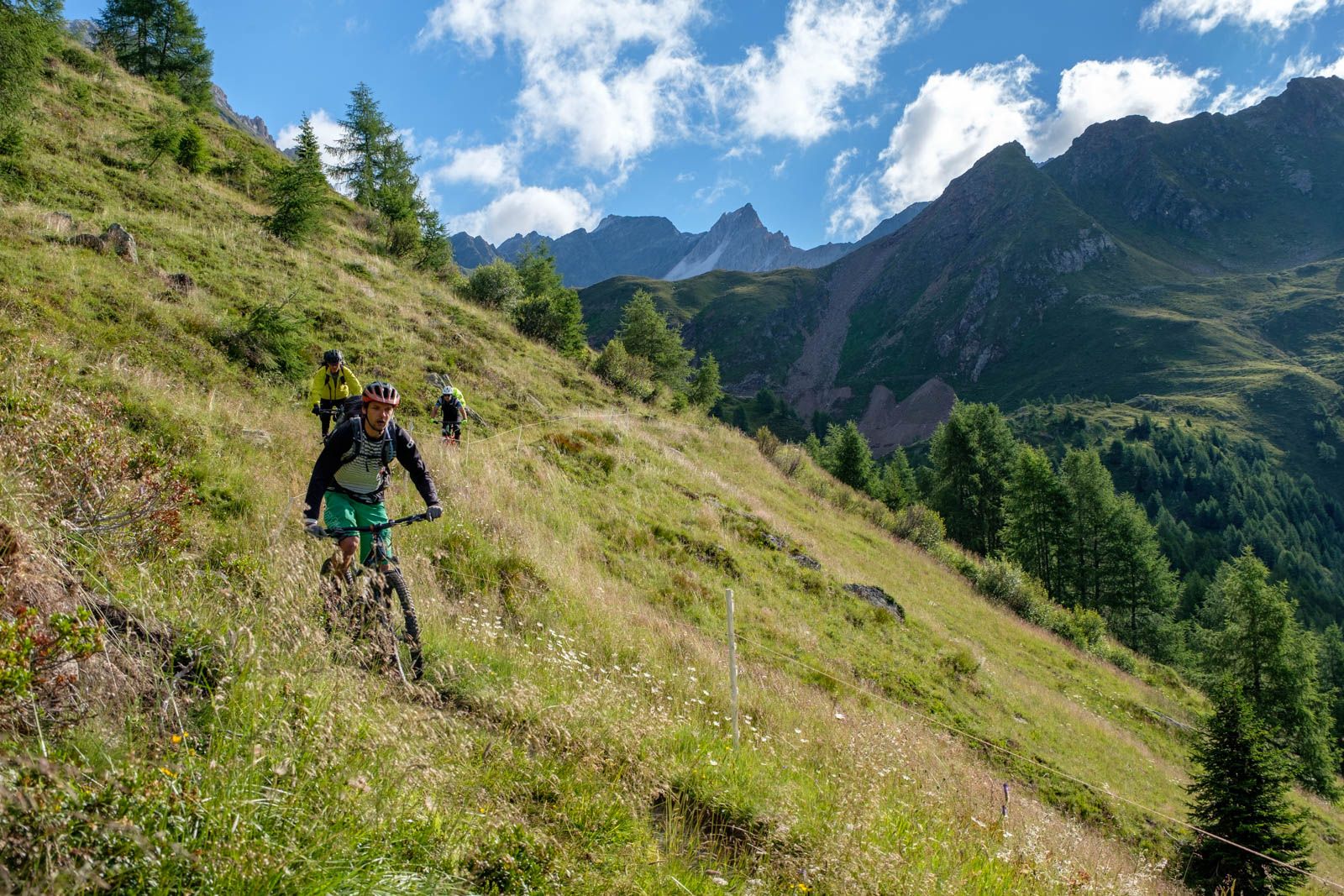
Ötzi Transalp – bikepacking in the Stubai and Ötztal Alps
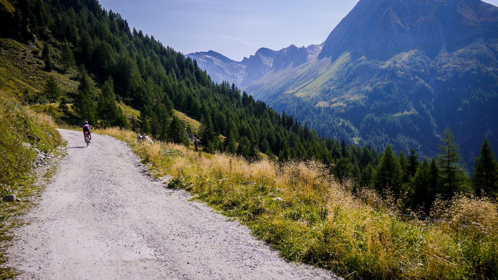
Off-road through South Tyrol – bikepacking between Austria and Italy
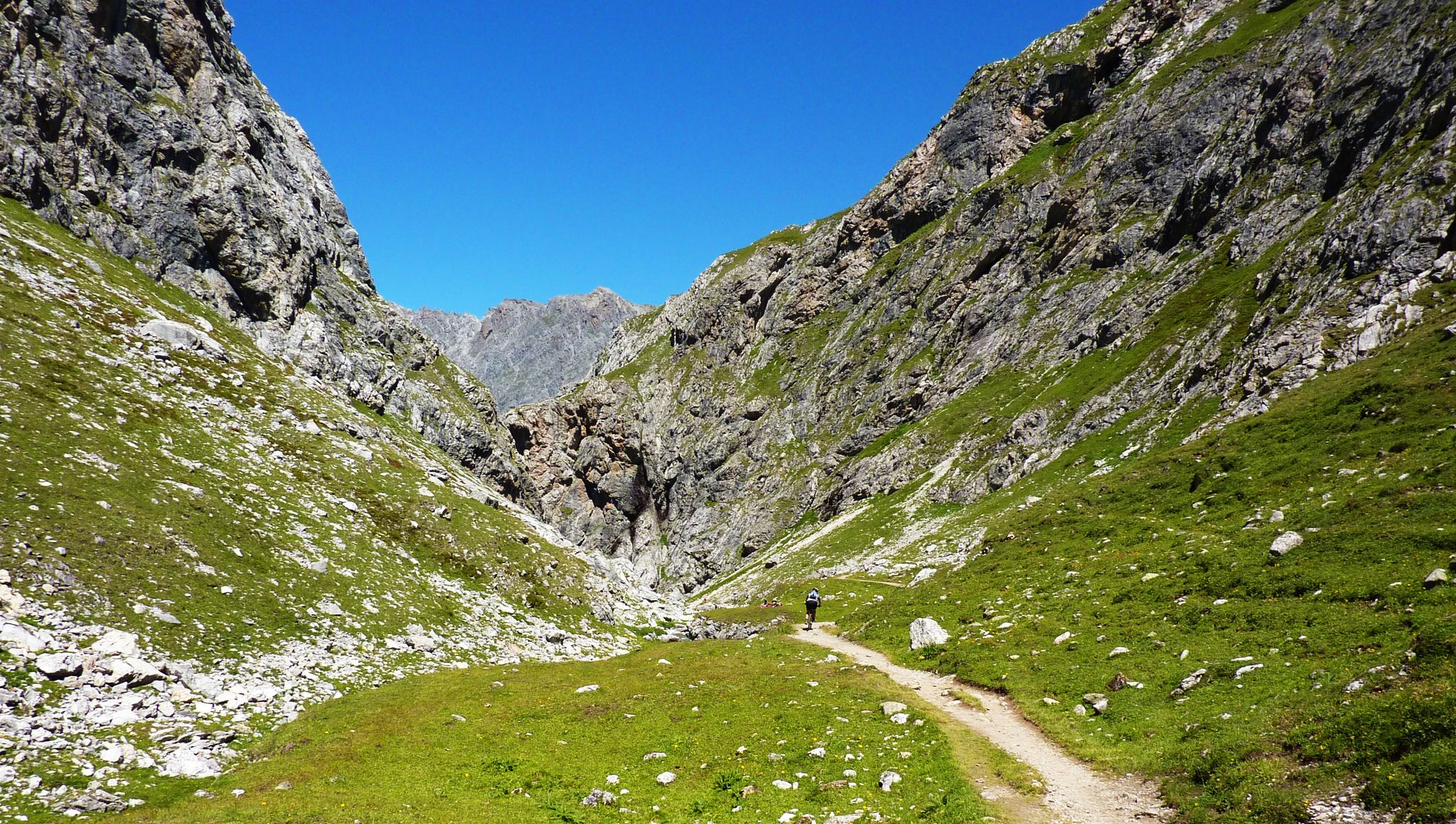
Alpine passes — 10 classics for you and your bike
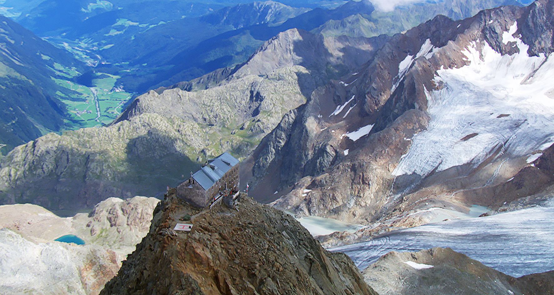
Sleep above 3000 meters
Die schönsten Klammen Tirols
Hiking around Ratschings - Racines
MTB Trails around Ratschings - Racines
Cycling around Ratschings - Racines
Road Cycling Routes around Ratschings - Racines
Running Trails around Ratschings - Racines
Other adventures around Ratschings - Racines


Tips from the Community

Engraved border stone at the Timmelsjoch between Austria and Italy and the year 1966.
4
0


The Beiljoch, also called Peiljoch, is a narrow alpine pass above the Dresdner Hütte. The approach to the pass is secured with wire ropes due to its partially exposed areas. Concentration and surefootedness are required on the climb! Once you reach the pass, you have a beautiful view of the Sulzenausee, which is the end of the Sulzenauferner. Ice floes are constantly floating in the deep blue water.
2
0

You can see it clearly in the video here (click the blue link to get to the right time): https://youtu.be/vzWTEY3Iyy0?si=ElXSHJP32LK_ZfbT&t=332
2
1

Very pleasant driveway as it is not too steep. For the most part, less than 10%, which means that even moderately trained bikers can ride uphill quite relaxedly without a motor. Old military road, some of which is even asphalted, without trails. At the top you can either take the Grenzkammweg towards Sattelberg or, for the more experienced, the 1er Trail back down to Gossensaß.
0
0

Nice route and easy to drive even for inexperienced people, whether uphill or downhill. It's just a shame that there are no working alpine huts in the area.
2
2

2 Stage 2: Oetz – Umhausen (approx. 9.5 km) At the end of Oetz, you cycle parallel to the Ötztaler Bundesstraße towards Habichen. Through the underpass near Habichen, a detour to the Habicher See is offered. Or you can tackle the crisp ascent in the Tumpener Gstoag directly. On the second bend, the surface changes from asphalt to gravel and leads through a small wooded section (Seestall – Grube) to Tumpen. Here, you pass the school in the direction of the Ötztaler Bundesstraße, which you cross, just like the Ötztaler Ache afterwards. You then roll on relaxed towards Umhausen, past the Engelswand, the hamlet of Lehn Platzl and the Maria Schnee chapel. Shortly before Umhausen, near Östen, you cross the Bundesstraße again and continue upstream west of the Ötztaler Ache. Text / Source: Ötztal Tourismus, Achweg 5, 6450 Sölden https://www.oetztal.com/de/sommer/biken-radfahren/radtouren/radweg.html
14
2
Frequently Asked Questions
What are some of the most popular mountain passes for cycling in Ratschings - Racines?
The region offers several popular mountain passes for cyclists. The Passo del Rombo / Timmelsjoch (2,509 m) is renowned for its numerous serpentines, attracting countless cyclists in summer. The Jaufen Pass (Passo Giovo) is also a favorite, offering a winding ascent with stunning mountain views, often part of a longer scenic tour.
Are there challenging hiking routes over mountain passes in the Ratschings - Racines area?
Yes, for those seeking a challenge, the Peiljoch is a narrow alpine pass located above the Dresdner Hütte. Its approach requires concentration and surefootedness due to partially exposed areas secured with wire ropes. Upon reaching the summit, hikers are rewarded with a beautiful view of the Sulzenausee and its ice floes.
What natural features can I expect to see at the mountain passes around Ratschings - Racines?
The mountain passes offer breathtaking natural beauty. At Passo del Rombo / Timmelsjoch (2,509 m), you'll find rugged mountains and clouds drifting over the peaks. The Peiljoch provides views of the Sulzenausee, a glacial lake with constantly floating ice floes. The Jaufen Pass (Passo Giovo) offers expansive views of the surrounding mountains.
Are there any historical sites or landmarks on the mountain passes in the region?
Yes, the area has historical significance. The Brenner Border Ridge Road is an old military road built during World War II, offering a historical path high above the Brenner Pass. Nearby, you can also find Abandoned Military Bunkers on the Brenner Pass, which are of interest to history enthusiasts.
What is the best time to visit the mountain passes in Ratschings - Racines?
The summer months are generally the best time to visit, especially for cycling and hiking, as the passes are typically clear of snow. For instance, the Passo del Rombo / Timmelsjoch (2,509 m) is popular with cyclists in the summer. The region's proximity to the main Alpine ridge also means reliable snow conditions for winter sports in areas like the Racines-Giovo/Ratschings-Jaufen ski area.
Are there family-friendly options among the mountain passes?
While many passes offer challenging terrain, some sections or nearby areas can be family-friendly. For example, the Passo del Rombo / Timmelsjoch (2,509 m) is listed as family-friendly in some contexts, likely referring to accessible viewpoints or shorter walks near the summit. Always check specific route details for suitability with children.
What outdoor activities can I do near these mountain passes?
Beyond exploring the passes themselves, the Ratschings - Racines area offers a wide range of outdoor activities. You can find numerous options for gravel biking, mountain hikes, and MTB trails. These guides provide detailed routes and information for various skill levels.
Are there hiking trails near the mountain passes in Ratschings - Racines?
Absolutely. The region is excellent for hiking. For example, near the Peiljoch, you can access trails leading from the Dresdner Hütte. Many other mountain hikes are available throughout the area, with options ranging from moderate to difficult. You can explore more detailed routes in the Mountain Hikes around Ratschings - Racines guide.
What do visitors enjoy most about the mountain passes in Ratschings - Racines?
Visitors consistently praise the breathtaking alpine grandeur and panoramic views. The challenging climbs and rewarding experiences, whether cycling up the serpentines of Passo del Rombo / Timmelsjoch (2,509 m) or hiking to the glacial lake views from Peiljoch, are highly valued. The sense of peace and the unique natural phenomena, like ice floes in Sulzenausee, also contribute to a memorable experience.
Are there amenities like cafes or inns at the mountain pass summits?
Yes, at the summit of Passo del Rombo / Timmelsjoch (2,509 m), there is a small inn where both hikers and cyclists can refresh themselves. For other passes, it's advisable to check specific highlight details or local information for available amenities.
What is the general difficulty level of mountain passes in Ratschings - Racines?
The mountain passes in Ratschings - Racines generally range from intermediate to challenging. Passes like Passo del Rombo / Timmelsjoch (2,509 m) and Jaufen Pass (Passo Giovo) are known for their challenging ascents for cyclists. The Peiljoch is a demanding alpine pass requiring surefootedness. Always review the specific route details and your fitness level before attempting.
Most popular routes around Ratschings - Racines
Most popular attractions around Ratschings - Racines

Get inspired with the komoot mobile app


Explore more
See even more epic mountain passes by checking out these guides around Ratschings - Racines:
