The best walks and hikes around Montieri
4.6
(309)
1,049
hikers
34
hikes
Hiking around Montieri offers diverse landscapes, characterized by rolling hills and lush forests typical of the Tuscan countryside. The region features notable natural attractions such as the Cornate e Fosini Nature Reserve, known for its biodiversity. Hikers can explore historic mining sites and reach the Poggio di Montieri summit, the highest point in the vicinity. The area also includes intriguing geological features like the Buca delle Fate, a natural ravine with a medieval tunnel.
Best hiking trails around Montieri
- The…
Last updated: October 24, 2026
3.6
(10)
39
hikers
6.76km
02:19
370m
370m
Embark on the Poggio di Montieri Loop Trail, a moderate hike that takes you through the scenic Tuscan countryside. This route spans 4.2 miles (6.8 km) and involves an elevation…
4.6
(39)
105
hikers
Moderate hike. Good fitness required. Easily walkable paths.

5.0
(3)
5
hikers
15.3km
04:33
450m
450m
Moderate hike. Good fitness required. Easily walkable paths.
4.3
(9)
21
hikers
10.4km
03:09
340m
340m
Moderate hike. Good fitness required. Easily walkable paths.
4.4
(7)
16
hikers
5.08km
01:47
300m
300m
Easy hike. Easily walkable paths.
Get access to more routes and recommendations from other explorers.
Already have an account?
Our route recommendations are based on thousands of hikes, rides, and runs completed by other people on komoot.
Start today with a free account
Your next adventure awaits.

Tips from the Community

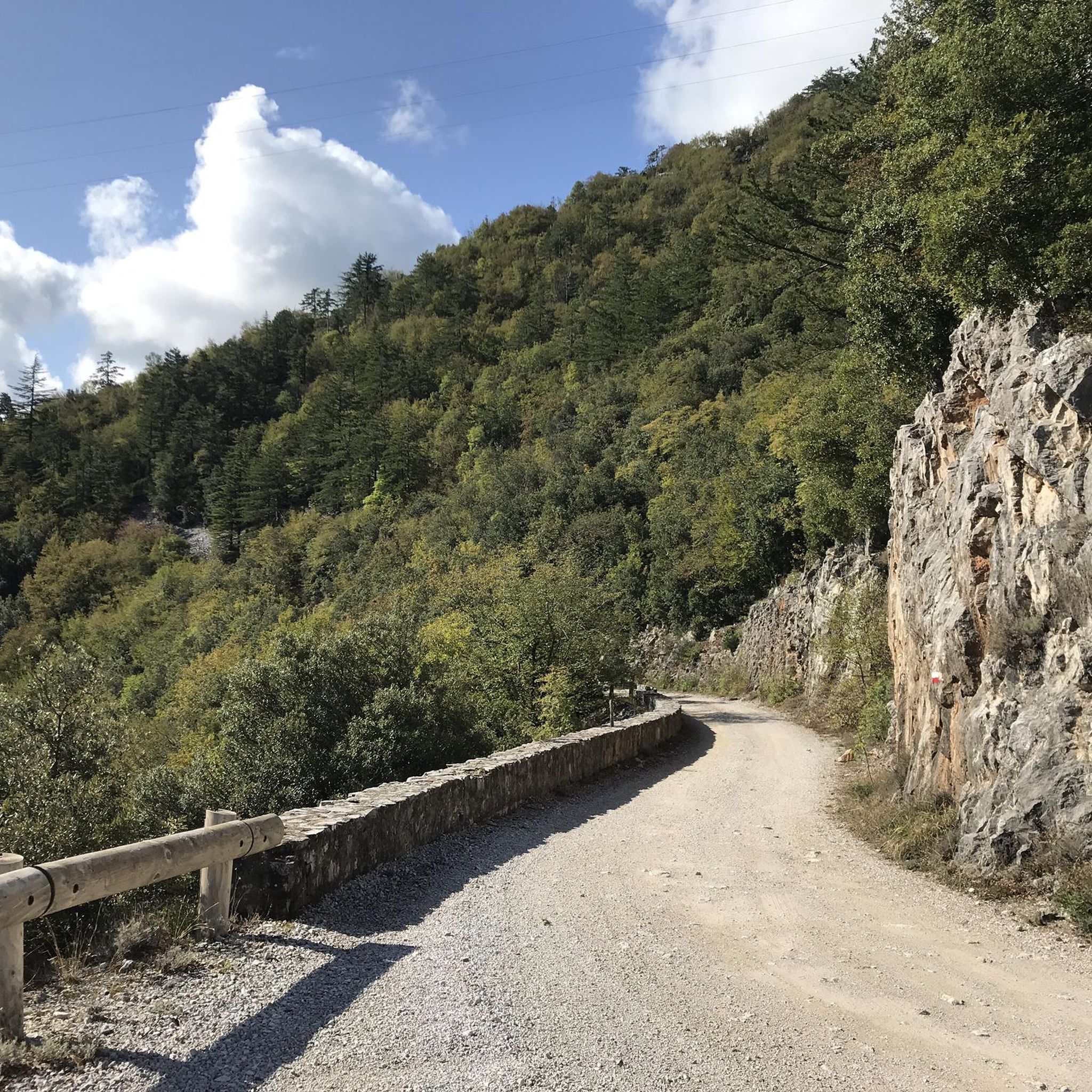
The Path to Cornate di Gerfalco usually starts from the village of Gerfalco and requires about 2.5 - 3 hours to complete the loop. Trail Details Elevation and Summit: Cornate di Gerfalco (approx. 1060–1081 m a.s.l.) is the highest peak in the Colline Metallifere in Tuscany. Elevation gain: About 400–430 meters uphill. Difficulty: Hiking (E), suitable for those with basic fitness and a sure foot.
0
0

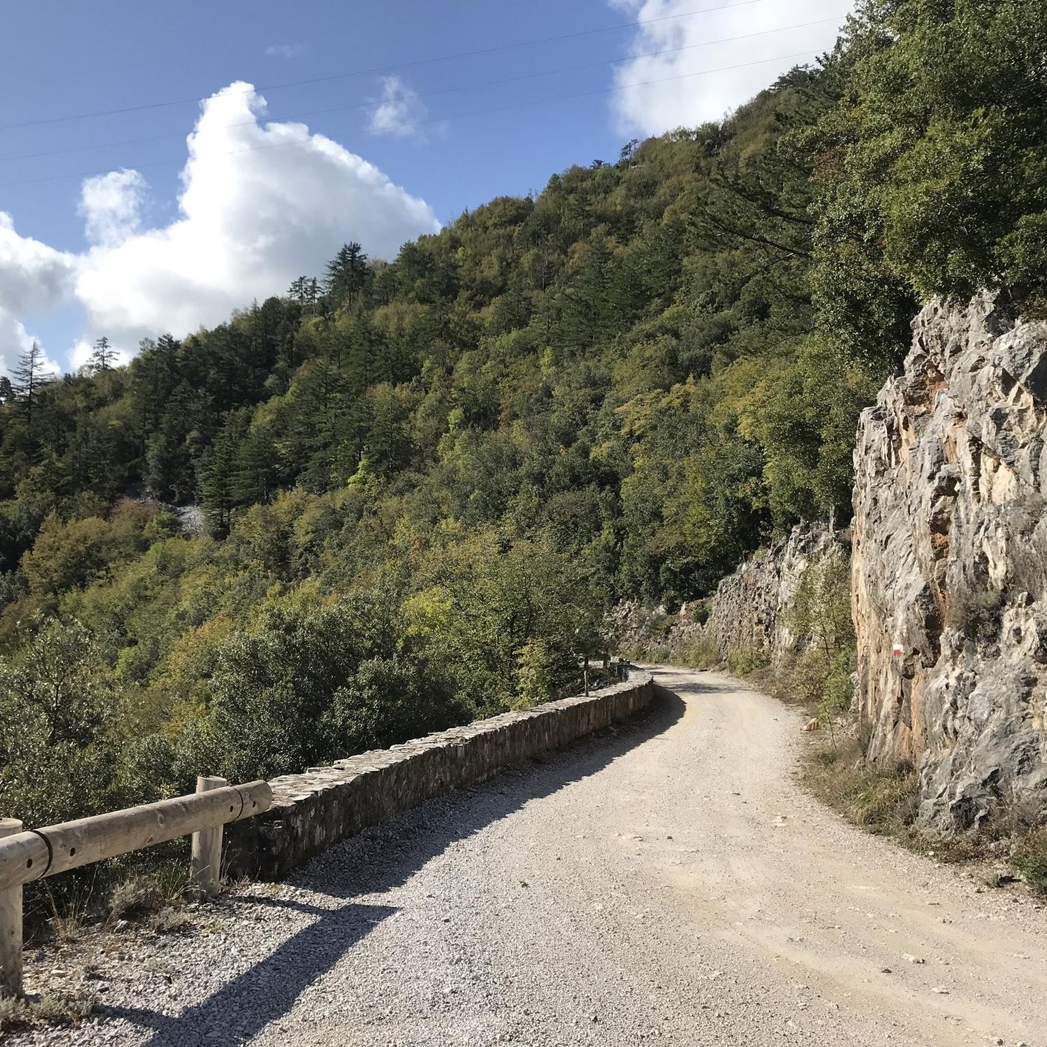
Itinerary for an excursion to the summit of Poggio di Montieri and the La Faggeta trail, a classic and evocative journey through a hilly landscape, located at an altitude of 1,051 metres. The excursion has a moderate difficulty level and is accessible to anyone with a minimum of mountain hiking experience. Total length: approximately 6.5 - 6.8 km. Positive elevation gain: approximately 370 - 400 metres. Walking time: between 2 and 3 hours. Starting point: the public car park located in the village of Montieri (GR)
0
0
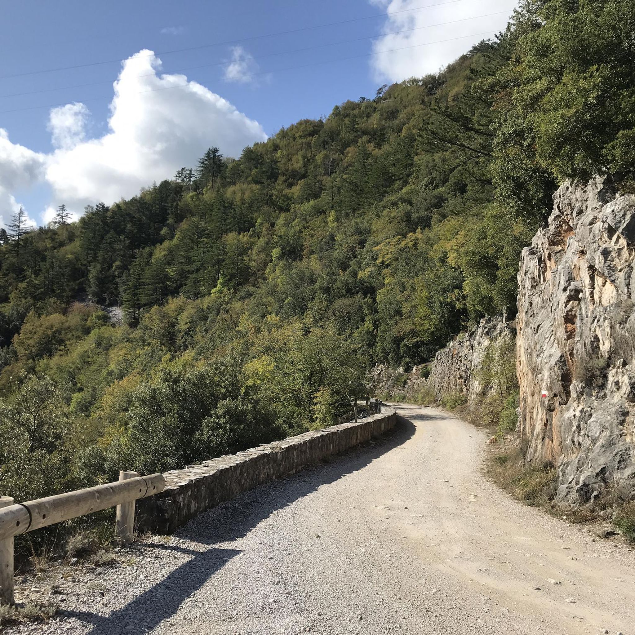
The Archaeological Site of Canonica di San Niccolò is located in Montieri, a medieval village in the Colline Metallifere in the province of Grosseto. It is famous for the remains of a medieval church dating back to the 12th century, characterized by a very rare six-petal flower-shaped floor plan (hexapetalous or six-apse church), which represents an architectural unicum in Italy.
0
0
Elba is the largest island of the Tuscan Archipelago and the third largest in Italy by area. Located about 10 km from the coast of Piombino, it is famous for its extraordinary geological variety, ranging from white sand beaches to the granite reliefs of Monte Capanne (1018 m). Historically known as the place of Napoleon Bonaparte's exile in 1814, the island preserves important historical testimonies, including Napoleonic villas and ancient iron mines.
0
0
Gerfalco is an ancient medieval village located at 774 meters above sea level in the municipality of Montieri, in the province of Grosseto. Often described as a "small nativity scene", it is immersed in the Colline Metallifere and is known for its mining history and proximity to the Cornate and Fosini Natural Reserve. The name of the village probably derives from the medieval German ger-Falke, meaning "falcon bearer", suggesting origins linked to nobles of Germanic lineage. It was an important mining center, contested between the bishops of Volterra and powerful families such as the Pannocchieschi and Aldobrandeschi. The village retains the structure of a castle and is characterized by the use of red ammonitic limestone, a pinkish stone also used in the construction of the Siena Cathedral.
0
0
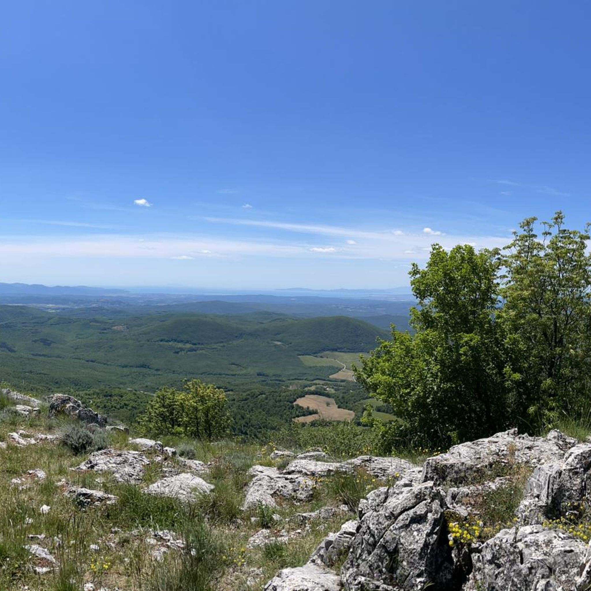
Le Cornate di Gerfalco (1060-1081 m a.s.l.) represent the highest peak of the Metalliferous Hills in Tuscany, located between the provinces of Grosseto and Siena. They are part of the Cornate and Fosini Nature Reserve and offer a panorama that ranges from the Tuscan Archipelago to Corsica and the Apennines.
1
0
Le Cornate di Gerfalco (1060-1081 m a.s.l.) represent the highest peak of the Metalliferous Hills in Tuscany, located between the provinces of Grosseto and Siena. They are part of the Cornate and Fosini Nature Reserve and offer a panorama that ranges from the Tuscan Archipelago to Corsica and the Apennines.
1
0
The Cornate di Gerfalco (1060-1081 m above sea level) represent the highest peak of the Colline Metallifere in Tuscany, located between the provinces of Grosseto and Siena. They are part of the Cornate and Fosini Natural Reserve and offer a panorama that ranges from the Tuscan Archipelago to Corsica and the Apennines.
0
0
Frequently Asked Questions
How many hiking trails are available around Montieri?
Montieri offers a wide selection of hiking opportunities, with over 25 routes available. These trails cater to various skill levels, including 11 easy, 10 moderate, and 5 difficult options.
What kind of landscapes can I expect to see while hiking in Montieri?
The Montieri region is characterized by picturesque scenery, featuring lush forests and rolling hills typical of the Tuscan countryside. You'll find diverse landscapes, from the biodiversity of the Cornate e Fosini Nature Reserve to panoramic views from summits like Poggio di Montieri.
Are there any easy, family-friendly walks in Montieri?
Yes, Montieri has several easy trails suitable for families. An excellent option is the Il Pian Picnic Area – La Buca delle Fate loop from Montieri, which is 3.7 km long and takes about 1 hour 10 minutes. This route allows you to explore the intriguing Buca delle Fate, a natural ravine with a medieval tunnel.
Can I find circular hiking routes in the Montieri area?
Absolutely. Many trails in Montieri are designed as circular routes, allowing you to start and end in the same location. For example, the Poggio di Montieri Loop Trail is a moderate 6.8 km circular route offering views from the highest point in the area.
What are some notable natural features or attractions to explore on a hike?
Montieri's trails lead to several interesting natural features. You can visit the La Buca delle Fate, a natural ravine with a medieval tunnel, or explore the Biancane Nature Park and Le Biancane Geothermal Park, known for their unique geological formations like the Fumaroles in Valle del Diavolo.
Are there any hikes that offer panoramic views of the Tuscan countryside?
Yes, Montieri is renowned for its panoramic vistas. The View of the Valley – Il Pian Picnic Area loop from Montieri is a moderate 9.5 km path specifically designed to showcase magnificent views of the valley and surrounding countryside.
What do other hikers say about the trails in Montieri?
The hiking routes in Montieri are highly rated by the komoot community, with an average score of 4.7 stars from around 200 reviews. Hikers often praise the diverse landscapes, well-maintained paths, and the stunning panoramic views encountered along the trails.
Can I find trails that lead to historical or archaeological sites?
Montieri has a rich history, particularly as an ancient center for copper and silver mining. Some trails lead directly to these historic mining sites, intertwining natural beauty with cultural heritage. The region also features archaeological sites like the Canonica di San Niccolò.
What is the highest point I can reach on a hike in Montieri?
The Poggio di Montieri summit is the highest point in the vicinity, rewarding climbers with breathtaking panoramic views. The Poggio di Montieri Loop Trail is a great way to reach this vantage point.
Are there any longer, more challenging hikes available?
For those seeking a more challenging experience, Montieri offers several difficult routes. A notable moderate option is the Trail to the Le Cornate summit – View of Cornate di Gerfalco loop from Gerfalco, which is 13.7 km long and takes approximately 4 hours 23 minutes to complete.
What other outdoor activities are popular in Montieri besides hiking?
Beyond hiking, Montieri and its surroundings cater to other outdoor pursuits. You can enjoy mountain biking on dedicated trails, bird watching in the natural reserves, or visit local wineries and farms for a taste of the region's agricultural heritage.
Most popular attractions around Montieri

Get inspired with the komoot mobile app


Explore more
Browse the best Hikes in other regions.
