The best MTB trails around Sörgenloch
4.5
(649)
1,687
riders
208
rides
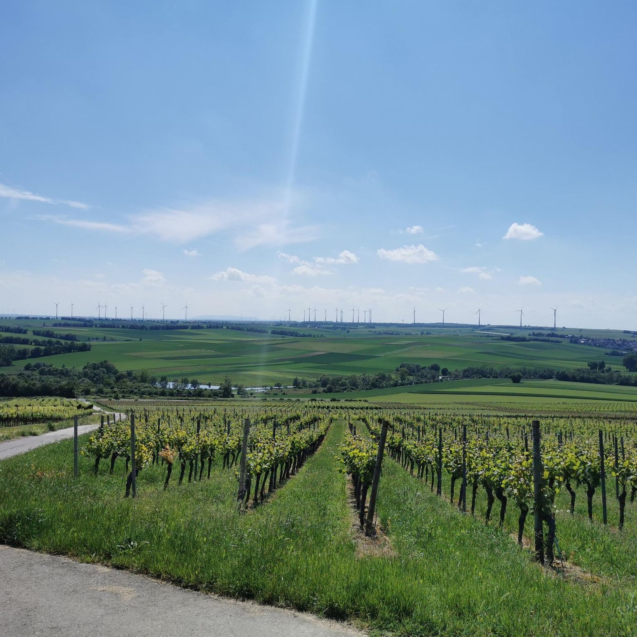
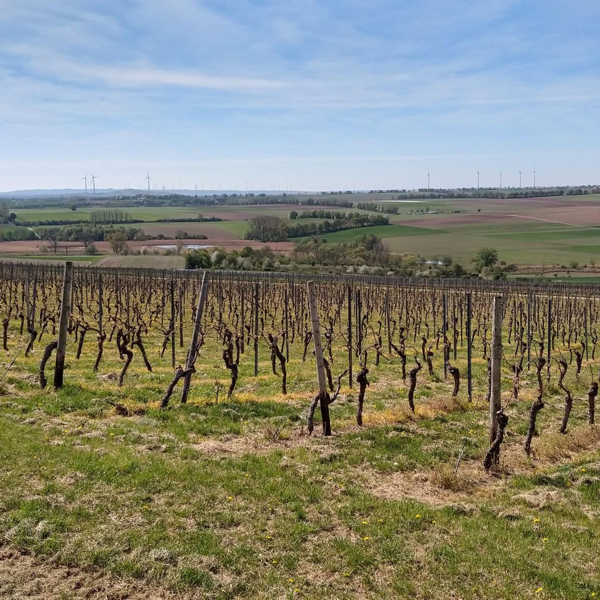
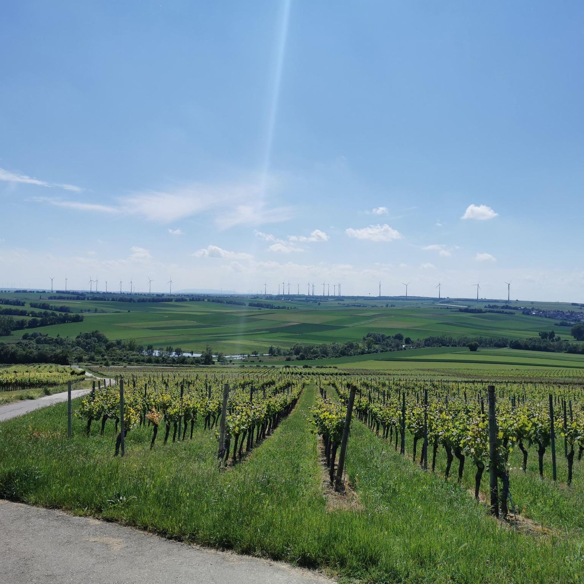
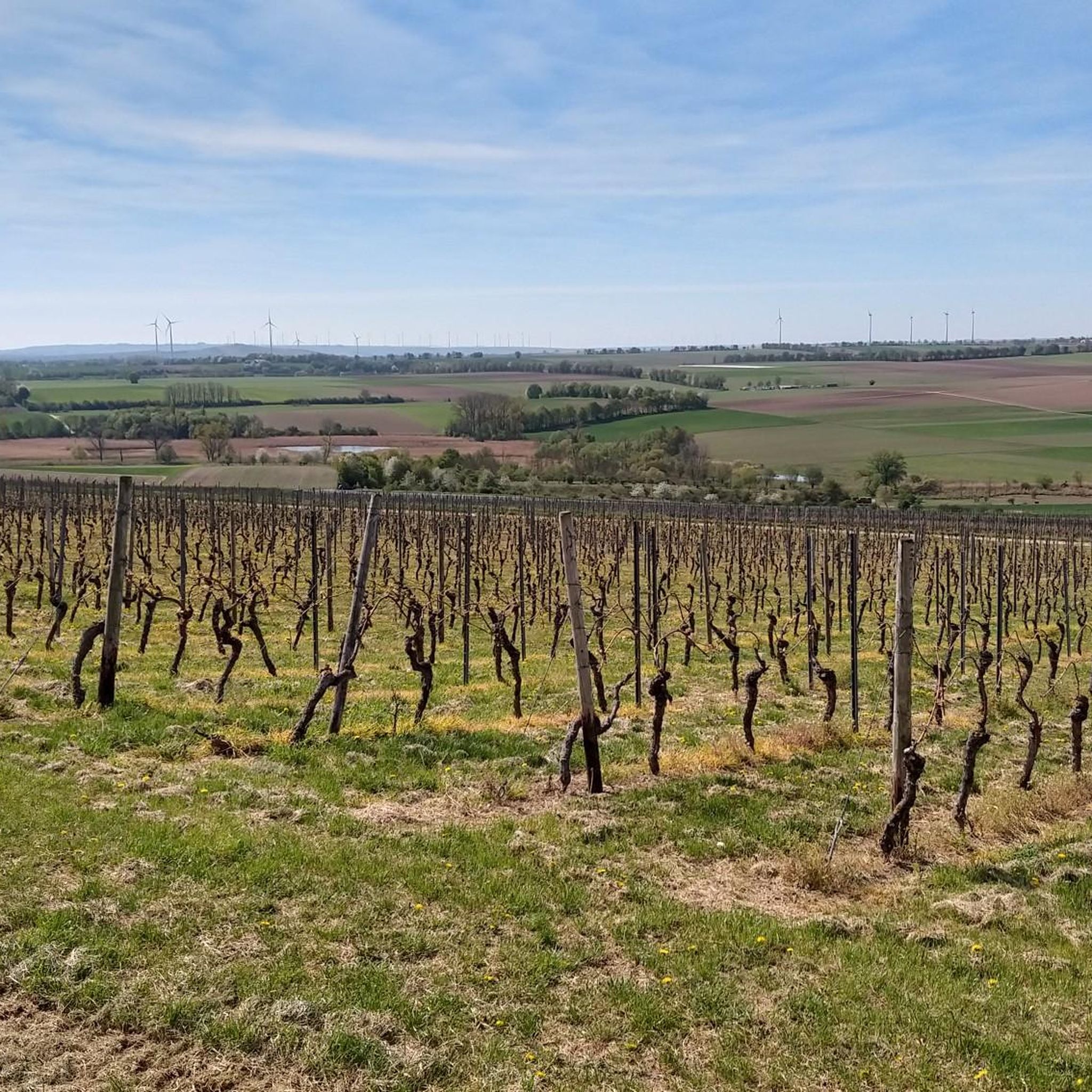
Mountain biking around Sörgenloch offers diverse terrain within the Rheinhessen region. The area is characterized by rolling hills covered in expansive vineyards, providing picturesque routes with wide views. The Selz river valley features wetland and nature conservation areas, offering more relaxed rides alongside the river. This combination of vineyard paths, river valleys, and varied terrain caters to a range of mountain biking abilities.
Best mountain bike trails around Sörgenloch
- The most popular mountain bike trail is Ruins of the Hindenburg…
Last updated: August 10, 2026
4.5
(12)
44
riders
43.4km
02:35
260m
260m
Moderate mountain bike ride. Good fitness required. Advanced riding skills necessary.
3.5
(2)
24
riders
Moderate mountain bike ride. Good fitness required. Advanced riding skills necessary.

Sign up for free
5.0
(1)
19
riders
Moderate mountain bike ride. Good fitness required. Advanced riding skills necessary.
5.0
(3)
15
riders
81.9km
05:12
500m
500m
Hard mountain bike ride. Very good fitness required. Advanced riding skills necessary.
5.0
(1)
19
riders
50.8km
03:17
520m
520m
Moderate mountain bike ride. Good fitness required. Advanced riding skills necessary.
Get access to more routes and recommendations from other explorers.
Sign up for free
Already have an account?
Our route recommendations are based on thousands of hikes, rides, and runs completed by other people on komoot.
Start today with a free account
Your next adventure awaits.
Login or Signup
Tips from the Community


A bit narrow. Overtaking difficult. Gets tight with oncoming traffic.
0
0


Flood levels of the last 100 years
0
0
beautiful dam, unfortunately saw no beavers
0
0

With a total length of around 1,233 kilometers, the Rhine is one of Europe's longest, most historically significant, and economically most important rivers. The river originates in the Swiss Alps, where it is formed from the two headwaters, the Vorder- and Hinterrhein. After flowing through Lake Constance, it plunges down at the Rhine Falls near Schaffhausen and subsequently forms the border between Switzerland and Germany as the High Rhine. Further on, as the Upper Rhine, it flows through the Upper Rhine Plain past major cities such as Karlsruhe and Ludwigshafen, as well as directly past the region of Mainz and Wiesbaden. In this area, the river bends sharply west at the so-called "Rheinknie" (Rhine bend) before reaching the spectacular Middle Rhine. This section between Bingen and Koblenz – known as the Upper Middle Rhine Valley – has been protected as a UNESCO World Heritage site since 2002 due to its density of castles, historic vineyards, and the legend of the Lorelei rock. Via the Lower Rhine and the metropolitan regions of Cologne and Düsseldorf, the Rhine finally continues into the Netherlands. There it splits into a vast delta and finally flows into the North Sea near Rotterdam. As an international waterway, the Rhine is the logistical backbone of Western Europe. It connects the major industrial centers and seaports directly with the hinterland, and is used annually by tens of thousands of cargo ships for the transport of coal, ores, containers, and chemical goods. In addition to its industrial function, the Rhine Valley serves as a lifeline for tourism, a productive energy source through hydropower plants, and a valuable natural and recreational area for millions of people.
8
0

Frequently Asked Questions
How many mountain bike trails are available around Sörgenloch?
There are over 200 mountain bike trails around Sörgenloch, offering a wide variety of options for different skill levels and preferences. The komoot community has explored more than 229 routes in the area.
What kind of terrain can I expect on mountain bike trails in Sörgenloch?
The terrain around Sörgenloch is diverse, featuring rolling hills covered in picturesque vineyards, the ecologically rich Selz river valley with its wetland and nature conservation areas, and a mix of forest paths and singletracks. This variety ensures that both casual riders and experienced mountain bikers can find suitable challenges.
Are there mountain bike trails suitable for beginners or families in Sörgenloch?
Yes, Sörgenloch offers trails suitable for all fitness levels and beginners. There are 46 easy mountain bike routes, often characterized by less technical sections and gentler gradients, making them ideal for families or those new to mountain biking. An example of an easy route is the Saulheim Vineyard Tower – Nieder-Olm town beach chair loop from Nieder Olm.
What are some challenging mountain bike routes for experienced riders?
For experienced riders seeking a challenge, Sörgenloch offers several difficult routes. One such demanding path is the Rest Area at the Selz Stream – Alzey Castle loop from Nieder Olm, which covers 81.6 km and explores the Selz Valley, leading to Alzey Castle.
Are there any circular mountain bike routes in the Sörgenloch area?
Yes, many mountain bike trails around Sörgenloch are designed as loops, allowing you to start and end at the same point. Examples include the Ruins of the Hindenburg Bridge – Ingelheim Adventure Bay loop from Nieder Olm and the Landskron Castle Ruins – Nierstein Watchtower loop from Nieder Olm.
What notable landmarks or scenic viewpoints can I discover along the trails?
Many trails offer wide-ranging views of the vineyards, the Selz Valley, and distant landmarks like the Odenwald, Taunus, and Donnersberg. You can also pass by historical sites such as the Ruins of the Eleven-Thousand Maidens Tower or the Landskron Castle Ruins. The region's wine culture is also prominent, with routes often passing through vineyards and offering opportunities to enjoy the 'wine view Rheinhessen'.
What do other mountain bikers enjoy most about the trails in Sörgenloch?
The mountain bike trails in Sörgenloch are highly rated by the komoot community, with an average score of 4.5 stars from over 500 reviews. Riders often praise the diverse terrain, the picturesque vineyard landscapes, and the well-maintained paths that cater to various skill levels. The combination of natural beauty and historical sights also adds to the appeal.
Can I bring my dog on the mountain bike trails in Sörgenloch?
Many trails in the Sörgenloch area are suitable for dogs, especially those that traverse open vineyards or wider forest paths. However, it's always recommended to check specific trail regulations or local signage, particularly in nature conservation areas like the Hahnheimer Bruch within the Selz Valley, to ensure dogs are permitted and to keep them on a leash where required.
Are there any lakes or natural water features along the mountain bike routes?
Yes, the Selz river and its valley are central to the region's natural appeal, featuring wetland and nature conservation areas. You might encounter highlights like the Mühlbachaue Saulheim or the Rohrwiesen Wetland Habitat, which offer serene natural settings along some routes.
What is the best time of year for mountain biking in Sörgenloch?
The Rheinhessen region, including Sörgenloch, is generally pleasant for mountain biking from spring through autumn. Spring offers blooming vineyards, while autumn provides vibrant colors and harvest activities. Summer can be warm, so early morning or late afternoon rides are often preferred. Winter conditions can vary, but many trails remain accessible, though some paths might be muddy or slippery.
Are there options for public transport access to the trails in Sörgenloch?
Sörgenloch is part of the Rheinhessen region, which has a public transport network. While direct access to every trailhead by public transport might vary, it is often possible to reach the general area by bus or train, and then cycle to the starting points of the trails. It's advisable to check local public transport schedules and bike carriage policies for specific routes.
Where can I find parking near the mountain bike trailheads in Sörgenloch?
Parking is generally available in and around Sörgenloch, particularly in the larger towns or villages that serve as common starting points for routes, such as Nieder-Olm. Many trailheads, especially those near popular attractions or vineyards, will have designated parking areas. Look for public parking lots or roadside parking where permitted.
Most popular routes around Sörgenloch
Most popular attractions around Sörgenloch

Get inspired with the komoot mobile app


Explore more
Browse the best MTB trails in other regions.
