The best running trails around Gelisuli/Girasole
4.3
(85)
1,948
runners
115
runs
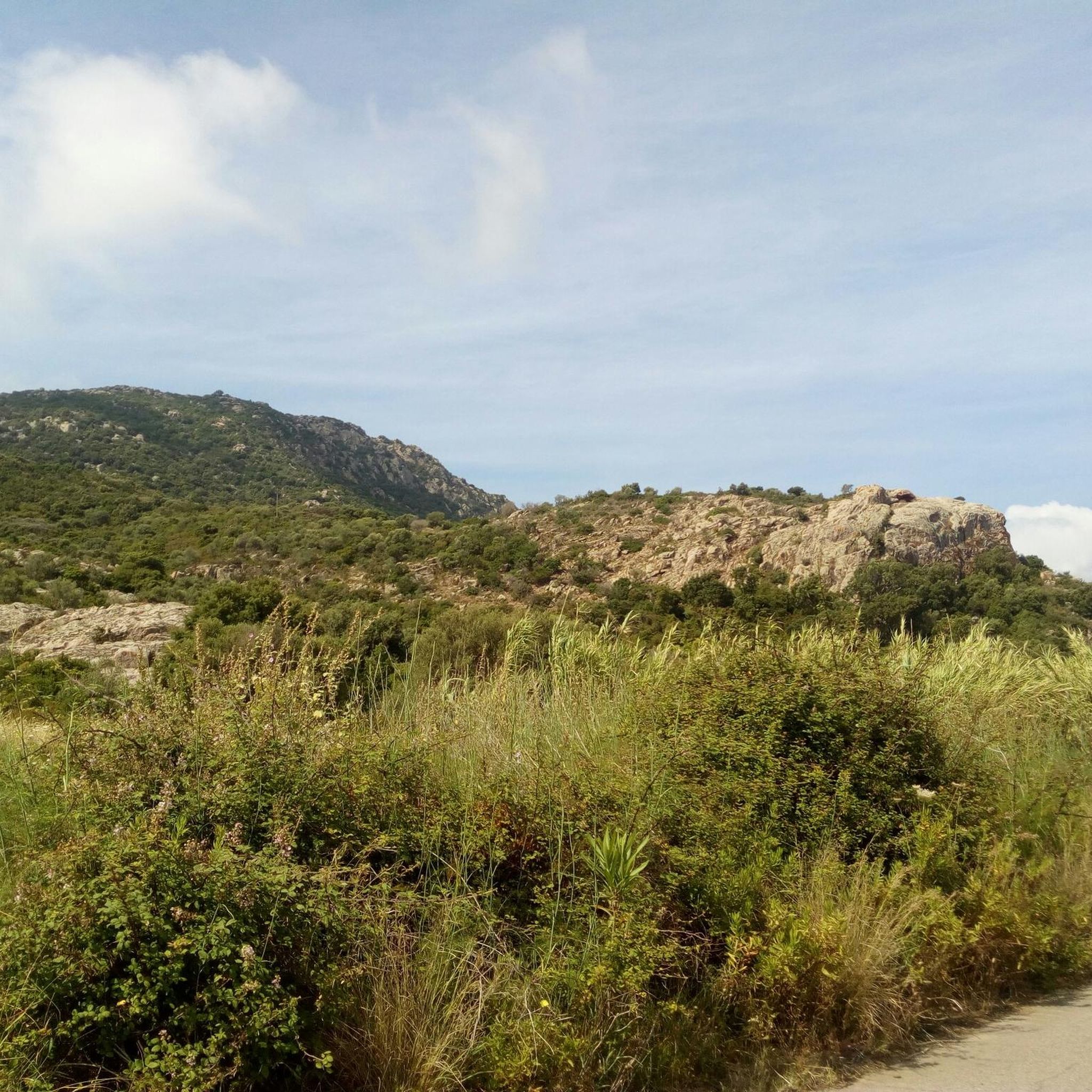
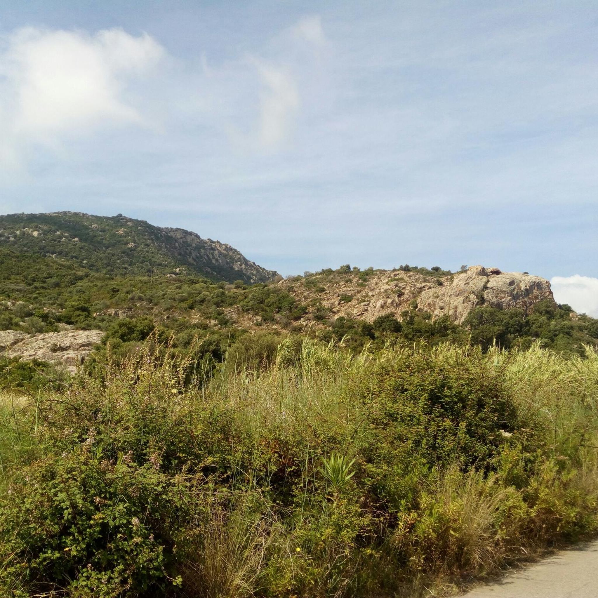
Jogging around Gelisuli/Girasole offers diverse terrain, from flat coastal paths to challenging granitic hills. The region features lush green plains that transition into higher grounds to the west, providing varied running experiences. A long, sandy shoreline with wild pinewoods offers scenic beach runs, while the Tortolì pond area presents a tranquil backdrop for nature-focused jogging. For those seeking elevation, Monte Oro provides panoramic views of the east coast and surrounding plains.
Best jogging routes around Gelisuli/Girasole
- The most popular jogging route is Pine Forest by the Beach – Arbatax Red Rocks loop from Lotzorai, a 9.1 miles (14.7 km) trail that takes 1 hour 36 minutes to complete. This moderate route combines coastal pinewoods with views of the distinctive Red Rocks.
- Another top favourite among local runners is Rio Pramaera loop from Lotzorai, an easy 2.9 miles (4.6 km) path. This route follows the Rio Pramaera, offering a flat and accessible option for a quick run.
- Local runners also love the Coastal Viewpoint loop from Lotzorai, a 9.0 miles (14.6 km) trail leading through coastal areas with significant elevation changes, often completed in about 1 hour 34 minutes.
- Jogging around Gelisuli/Girasole is defined by sandy beaches, coastal paths, and granitic hills. The network of routes offers options for various ability levels, from easy flat runs to more challenging trails with elevation.
- The routes in Gelisuli/Girasole are highly rated by the komoot community with an average score of 4.4 stars from over 90 reviews. More than 2000 runners have used komoot to explore Gelisuli/Girasole's varied terrain.
Last updated: May 28, 2026
5.0
(3)
54
runners
11.5km
01:16
40m
40m
Moderate run. Good fitness required. Mostly paved surfaces. Suitable for all skill levels.
3.0
(1)
46
runners
4.60km
00:30
20m
20m
Easy run. Great for any fitness level. Mostly paved surfaces. Suitable for all skill levels.

Sign up for free
4.0
(1)
40
runners
7.87km
00:50
30m
30m
Moderate run. Good fitness required. Mostly paved surfaces. Suitable for all skill levels.
31
runners
16.0km
01:44
130m
130m
Hard run. Very good fitness required. Sure-footedness, sturdy shoes and alpine experience required.
5.0
(1)
31
runners
Moderate run. Good fitness required. Mostly paved surfaces. Suitable for all skill levels.
Get access to more routes and recommendations from other explorers.
Sign up for free
Already have an account?
Our route recommendations are based on thousands of hikes, rides, and runs completed by other people on komoot.
Start today with a free account
Your next adventure awaits.
Login or Signup

Tips from the Community

History and Origins of the Red Rocks of Arbatax The surrounding area was once a rich and profitable mine. Here, miners extracted red porphyry—from which the rocks are made—a lava stone that, at the time, was used to build and beautify the port, villages, and nearby towns.
0
0

In addition to bathing in this beautiful sea, on this beach in Santa Maria Navarrese you can visit the monumental olive trees.
1
0


The Arbatax Tower, or San Miguel (St. Michael) Tower, built in the 16th century, was originally known in Arabic as "Arba a Tasciar," meaning "the fourteenth tower." This tower is believed to have given its name to Arbatax, which developed around it over time. The tower has a height of 15 meters and has several levels, including a cistern, a first floor and a parade ground. The first floor served as accommodation for the garrison soldiers and had direct access to the parade ground via an internal staircase integrated into the structure. The tower was equipped with cannons and thrusters. The current access, which includes a brick staircase with an iron railing, was built in the 19th century.
5
0


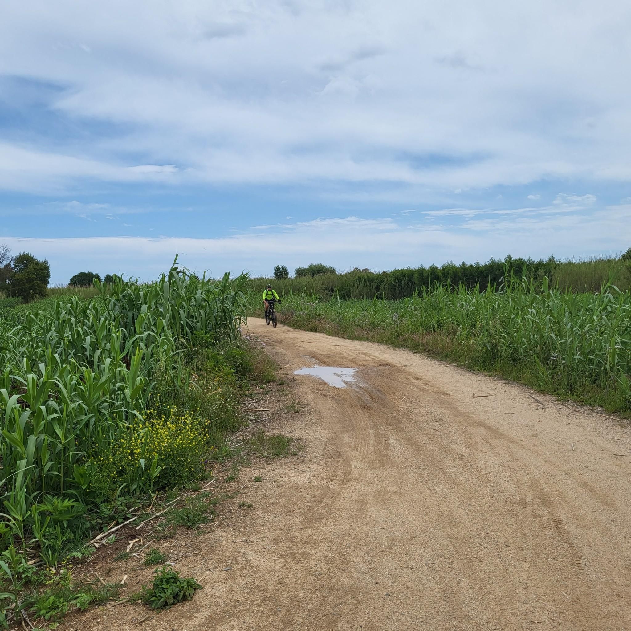
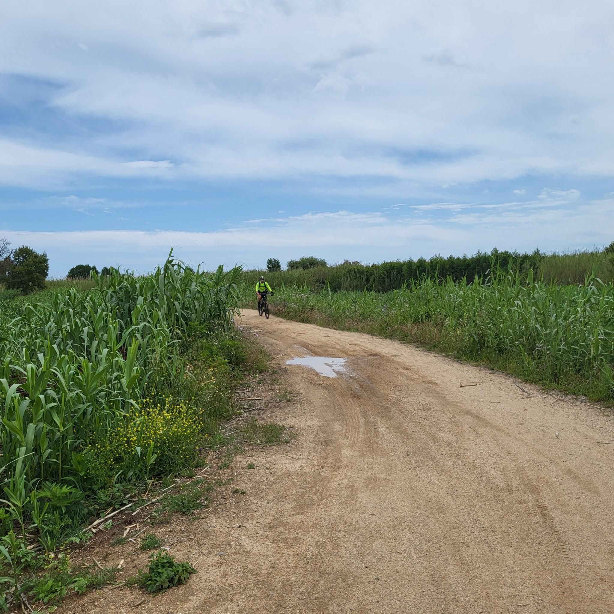
Beautiful pine forest with a sandy but pedalable bottom. Excellent for hot days being all in the shade
3
0

Santa Maria in Navarrese is a fraction of the municipality of Baunei, in the Ogliastra region. In the village there are all the services and from here you can leave for various boat trips or reach the nearby Supramonte mountains.
2
0

The gateway to Ogliastra, a seaside resort that stands on a peninsula (Capo Bellavista) famous for its red cliffs.
1
0
Frequently Asked Questions
How many running routes are available in Gelisuli/Girasole?
There are over 100 running routes around Gelisuli/Girasole, catering to various fitness levels. You'll find a diverse selection, from easy coastal paths to more challenging trails through granitic hills.
What kind of terrain can I expect on the running trails in Gelisuli/Girasole?
The region offers a varied landscape for runners. You can expect flat, scenic runs through lush green plains, sandy shorelines with wild pinewoods perfect for beach runs, and more challenging routes with elevation changes in the granitic hills to the west. Some trails, like those ascending Monte Oro, can be stony.
Are there easy running routes suitable for beginners in Gelisuli/Girasole?
Yes, Gelisuli/Girasole has 14 easy running routes perfect for beginners or those looking for a relaxed jog. An excellent option is the Rio Pramaera loop from Lotzorai, which is an easy 2.9 miles (4.6 km) path following the river, offering a flat and accessible experience.
Can I find challenging running trails with significant elevation in Gelisuli/Girasole?
Absolutely. For experienced runners seeking a challenge, there are 32 difficult routes. The Coastal Viewpoint loop from Lotzorai is a 9.0 miles (14.6 km) trail with significant elevation changes, offering a demanding workout and rewarding views. Monte Oro also provides challenging ascents with panoramic vistas.
What do other runners enjoy most about the trails in Gelisuli/Girasole?
The running routes in Gelisuli/Girasole are highly rated by the komoot community, with an average score of 4.4 stars from over 90 reviews. Runners frequently praise the diverse terrain, from coastal paths to hills, and the stunning natural beauty, including the distinctive Red Rocks and tranquil pinewoods.
Are there any circular running routes in Gelisuli/Girasole?
Yes, many of the running routes in Gelisuli/Girasole are circular, allowing you to start and finish at the same point. For example, the popular Pine Forest by the Beach – Arbatax Red Rocks loop from Lotzorai is a moderate 9.1 miles (14.7 km) circular trail combining coastal pinewoods with views of the unique Red Rocks.
What natural attractions or landmarks can I see along the running routes?
While jogging, you can encounter several natural and historical landmarks. The Arbatax Red Rocks are a visually striking feature. You might also enjoy views from Mount Oro, offering panoramic vistas of the east coast. The Tortolì Pond area provides a tranquil backdrop rich in flora and fauna.
Are there any running routes that pass by beaches or coastal areas?
Yes, the municipality boasts a long, sandy shoreline, and many routes incorporate coastal sections. The Arbatax Beach loop from Lotzorai is a moderate 4.8 miles (7.8 km) route that offers a great beach running experience. These coastal paths are often lined with wild pinewoods, providing shade and refreshing scents.
Are there running routes suitable for families or those with children?
While specific family-friendly routes aren't highlighted, the easy, flat paths are generally suitable for families. The Rio Pramaera loop from Lotzorai, being an easy 2.9 miles (4.6 km) and flat, would be a good option for a family outing.
Can I combine running with birdwatching in Gelisuli/Girasole?
Yes, the Tortolì Pond (Stagno di Tortolì), where the Rio Girasole flows, creates a humid area rich in local flora and fauna. This natural area is a haven for nature lovers and birdwatching enthusiasts, offering a tranquil and scenic backdrop for a jog with opportunities to observe various bird species.
Are there any historical sites visible from the running trails?
While not directly on every running trail, the region is home to historical landmarks. The Spanish Tower at Santa Maria Navarrese, a 16th-century structure, is a notable historical site in the broader area that offers beautiful views and can be incorporated into a longer exploration.
What is the best time of year to go running in Gelisuli/Girasole?
Gelisuli/Girasole offers pleasant conditions for running for much of the year. Spring and autumn generally provide mild temperatures, making them ideal for outdoor activities. Even in summer, the coastal paths lined with pinewoods offer some shade, and beach runs can be refreshing, especially in the mornings or evenings.
Most popular routes around Gelisuli/Girasole
Most popular attractions around Gelisuli/Girasole

Get inspired with the komoot mobile app


Explore more
Browse the best Running Trails & Routes in other regions.
