The best walks and hikes around Gelisuli/Girasole
4.4
(1520)
7,214
hikers
132
hikes
Hiking around Gelisuli/Girasole offers diverse terrain, from coastal paths with sea views to routes leading into mountainous areas. The region features a mix of well-marked trails, including those with significant elevation changes and others with minimal gain. Hikers can experience both the Sardinian coastline and inland landscapes, with options ranging from easy walks to more challenging treks.
Best hiking trails around Gelisuli/Girasole
- The most popular hiking route is View of Pedra Longa – Pedra Longa Rock Formation loop from Santa…
Last updated: June 24, 2026
4.0
(3)
52
hikers
Easy hike. Great for any fitness level. Easily-accessible paths. Suitable for all skill levels.
5.0
(1)
5
hikers
5.59km
01:25
20m
20m
Easy hike. Great for any fitness level. Easily-accessible paths. Suitable for all skill levels.

Sign up for free
4
hikers
4.78km
01:14
20m
20m
Easy hike. Great for any fitness level. Easily-accessible paths. Suitable for all skill levels.
7
hikers
Easy hike. Great for any fitness level. Easily-accessible paths. Suitable for all skill levels.
Get access to more routes and recommendations from other explorers.
Sign up for free
Already have an account?
Our route recommendations are based on thousands of hikes, rides, and runs completed by other people on komoot.
Start today with a free account
Your next adventure awaits.
Login or Signup

Tips from the Community


Nice bar right on the beach. Friendly and quick service.
1
0

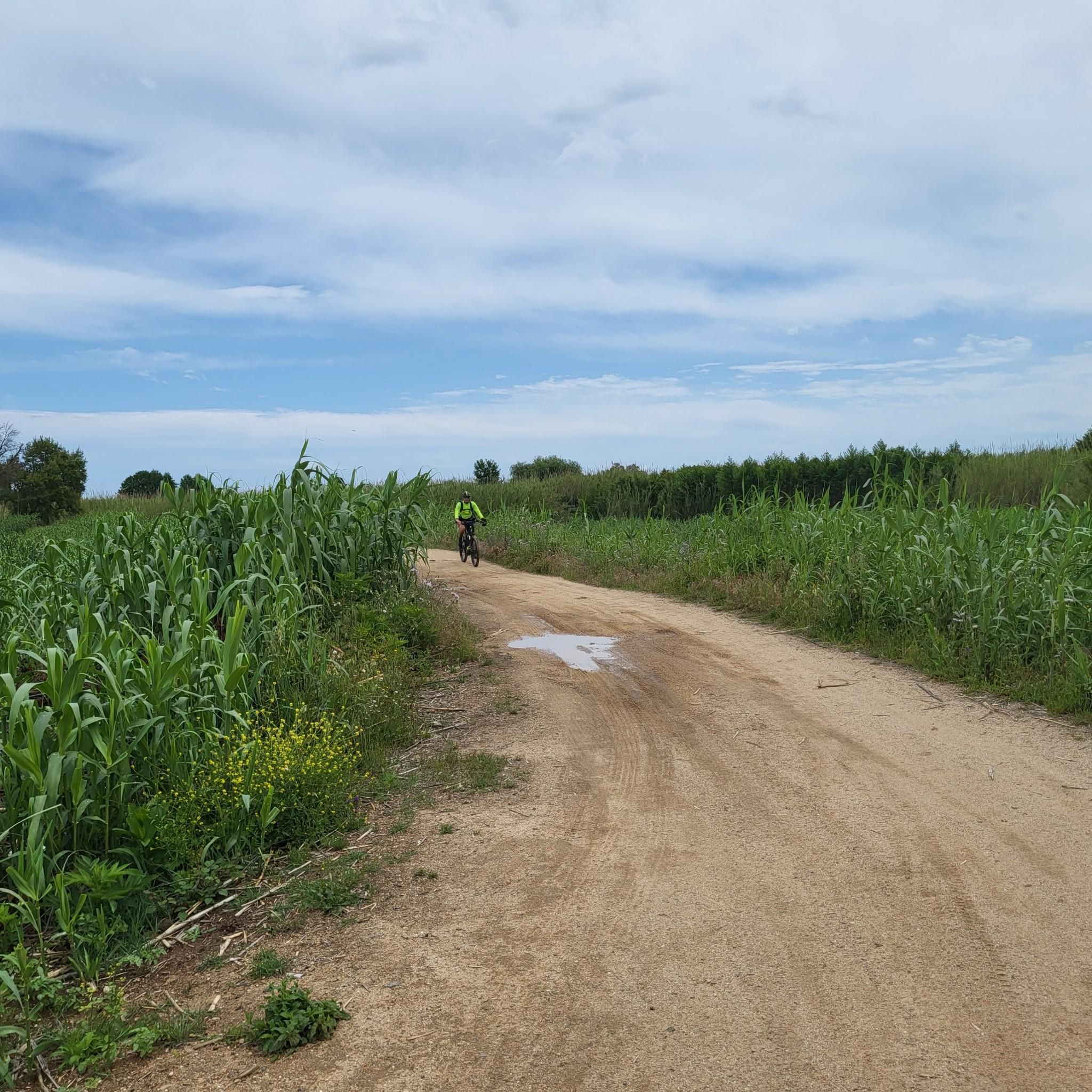
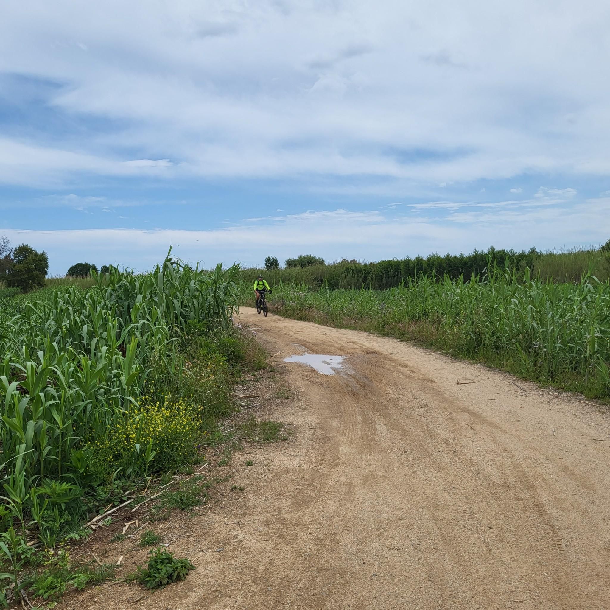
Ford through the Riu Pramaera with a water depth of approximately 0.5 meters.
0
0

The bridge can be used with caution, some of the boards are very rotten. Walk in the middle!
1
0

Nice bar with a nice view of the Torre di Santa Maria Navarrese.
2
0
Walking along the coast of Santa Maria Navarrese (Baunei district) you can come across the Spanish Tower, a silent witness to history that has watched over the fate of the inhabitants of the central east coast of Sardinia for over five hundred years
0
0

The Spanish tower of Santa Maria Navarrese is a clear testimony to the problem of Saracen pirate incursions, which often hit the coastal area between Villaputzu and Arbatax. The tower was built around 1591, when as many as 40 towers existed along the Sardinian coast (today there are just over 100). The tower is in direct visual connection with that of Arbatax, a logistical solution that allowed the service garrisons in the two buildings to control the entire gulf. From here the view of the gulf is beautiful.
3
0
Tancau is the longest beach in the area; it extends for over a kilometre, from Santa Maria Navarrese to Arbatax. The sand here is finer than that of Santa Maria, but on the shore it becomes small pebbles. The water is a beautiful blue color, and there are a few bars and restaurants, as well as some camping areas. During the summer, it is not as crowded as other beaches in the area.
2
0
Frequently Asked Questions
How many hiking trails are available in Gelisuli/Girasole?
Gelisuli/Girasole offers a wide variety of hiking experiences, with over 130 trails to explore. These routes cater to all levels, from easy strolls to challenging treks, ensuring there's something for every hiker.
Are there easy hiking trails suitable for beginners in Gelisuli/Girasole?
Yes, Gelisuli/Girasole has nearly 60 easy hiking trails perfect for beginners or those looking for a relaxed walk. These routes often feature minimal elevation gain and can be completed in under two hours. An example is the Arbatax Red Rocks – Moresca Cove loop from Arbatassa/Arbatax, an easy 2.3 km path.
Can I find challenging hikes in the Gelisuli/Girasole area?
Absolutely. For experienced hikers seeking a challenge, there are 21 difficult routes available. These trails often involve significant elevation changes and can last over five hours, requiring good fitness. A notable challenging route is the View of Pedra Longa – Pedra Longa Rock Formation loop from Santa Maria Navarrese, which spans 16.6 km with substantial elevation.
What kind of landscapes can I expect to see while hiking around Gelisuli/Girasole?
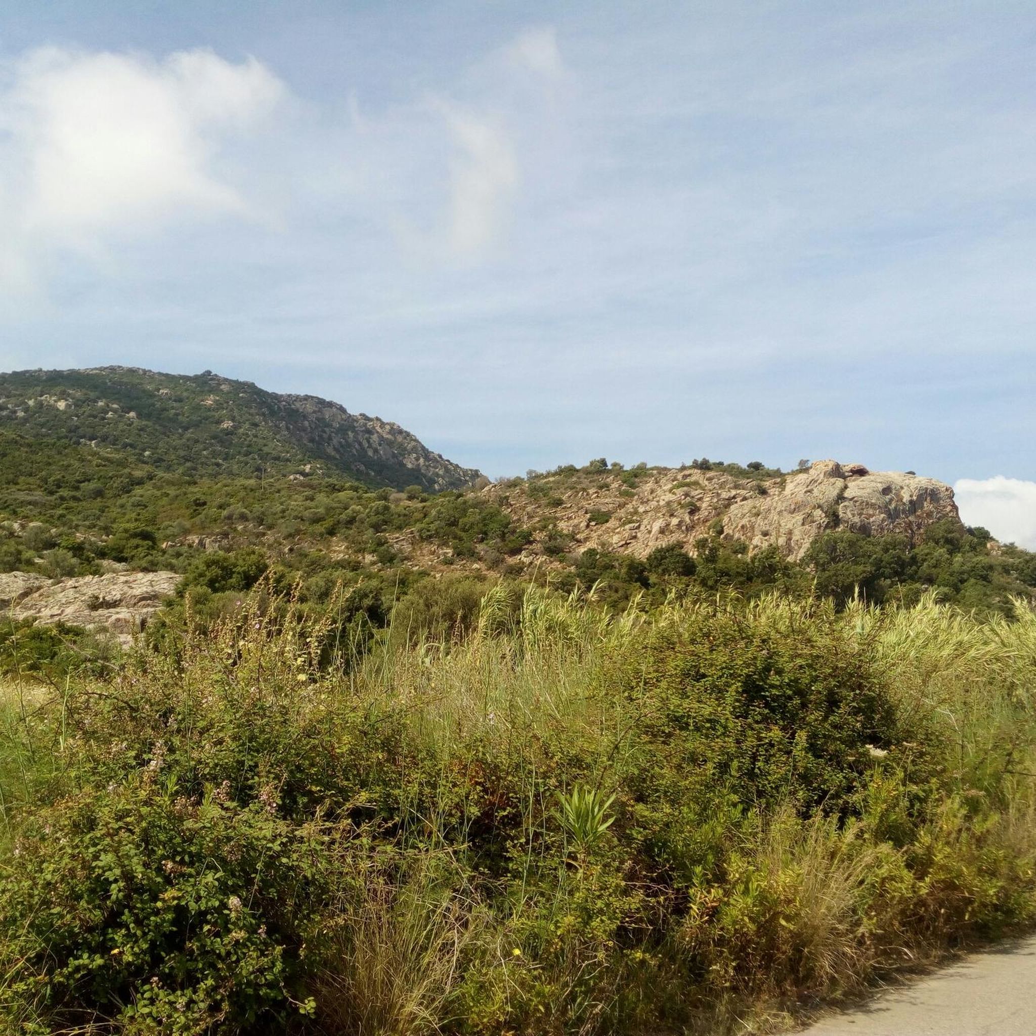
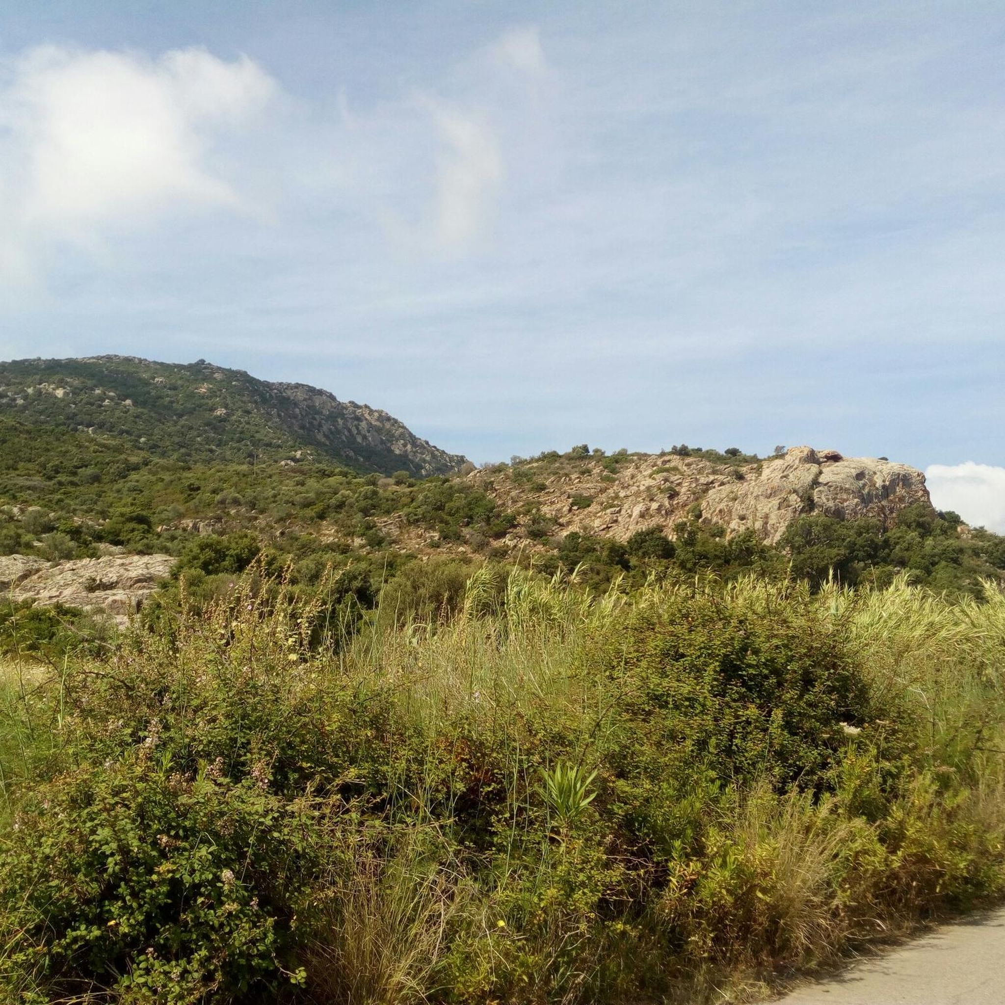
Hiking around Gelisuli/Girasole offers incredibly diverse landscapes. You can expect breathtaking coastal views of the Sardinian coastline and crystal-clear sea, trails leading to majestic mountains like Monte Arcuentu, and serene paths through natural reserves. The region also features unique rock formations and lush Mediterranean vegetation.
Are there any historical sites or landmarks to discover on the trails?
Yes, beyond natural beauty, hikers can encounter ancient Nuragic towers dating back to the Bronze Age along some trails, adding a historical dimension to their adventures. You can also visit landmarks like the Spanish Tower at Santa Maria Navarrese.
Are there circular hiking routes available in Gelisuli/Girasole?
Many of the trails in Gelisuli/Girasole are designed as circular routes, allowing you to start and end at the same point. Examples include the Arbatax Red Rocks – View of Capo Bellavista loop from Arbatassa/Arbatax and the Pedestrian and Cyclist Bridge – Arbatax Tower loop from Arbatassa/Arbatax, offering convenient exploration.
What do other hikers enjoy most about the trails in Gelisuli/Girasole?
The trails in Gelisuli/Girasole are highly rated by the komoot community, with an average score of 4.4 stars from over 1,500 reviews. Hikers frequently praise the stunning coastal views, the diverse terrain suitable for all levels, and the opportunity to discover unique natural monuments like the Pedra Longa Rock Formation and the Arbatax Red Rocks.
Are there family-friendly hiking options in Gelisuli/Girasole?
Gelisuli/Girasole offers several family-friendly hiking options, particularly among its easy trails. These routes are generally shorter with minimal elevation, making them suitable for children. Look for trails that explore beaches or offer gentle walks with interesting natural features to keep younger hikers engaged.
Is Gelisuli/Girasole a good destination for dog-friendly hikes?
Many trails in Gelisuli/Girasole are suitable for hiking with dogs, especially the less strenuous coastal paths and inland routes. It's always recommended to keep dogs on a leash and be mindful of local regulations, particularly in protected natural areas or near wildlife.
When is the best time of year to go hiking in Gelisuli/Girasole?
The best time to hike in Gelisuli/Girasole is typically during the spring (April-May) and autumn (September-October) months. During these periods, the weather is pleasantly mild, and the landscapes are vibrant, making for ideal hiking conditions. Summers can be very hot, especially for longer treks.
Are there places to stop for refreshments or food along the hiking routes?
Yes, along many hiking routes in the Gelisuli/Girasole region, you can find cozy lodges or small establishments where hikers can stop to enjoy local dishes or refresh themselves. Coastal towns and villages also offer various amenities for a break.
Where can I find coastal hikes with sea views?
Gelisuli/Girasole is renowned for its spectacular coastal views. Many trails hug the coastline, offering extraordinary vistas of the Sardinian sea. Routes like the Arbatax Red Rocks – View of Capo Bellavista loop from Arbatassa/Arbatax provide stunning sea and rock formation scenery.
Are there any specific natural monuments or rock formations I should look out for?
Absolutely! The region is famous for its distinctive natural monuments. Be sure to look for the iconic Pedra Longa Rock Formation, a towering limestone spire, and the striking Arbatax Red Rocks, known for their unique porphyry cliffs.
Most popular routes around Gelisuli/Girasole
Most popular attractions around Gelisuli/Girasole

Get inspired with the komoot mobile app


Explore more
Browse the best Hikes in other regions.
