The best running trails around Gàiru/Gairo
4.2
(55)
1,004
runners
19
runs
Jogging around Gàiru/Gairo offers routes through diverse landscapes, from the rugged Gennargentu Mountains to coastal paths overlooking the sea. The region is characterized by its dramatic gorges, distinctive rock formations, and varied elevations. Running trails in this area provide opportunities to experience both challenging mountain terrain and scenic coastal views.
Best jogging routes around Gàiru/Gairo
- The most popular jogging route is The Pirincanes gorge — Ring tour in the Gennargentu Mountains, a 9.1 miles (14.7 km) trail that takes…
Last updated: June 24, 2026
2
runners
14.7km
02:01
530m
530m
Hard run. Very good fitness required. Sure-footedness, sturdy shoes and alpine experience required.
5.0
(2)
39
runners
Hard run. Very good fitness required. Sure-footedness, sturdy shoes and alpine experience required.

Sign up for free
5.0
(1)
39
runners
33.1km
04:14
1,240m
1,230m
Hard run. Very good fitness required. Sure-footedness, sturdy shoes and alpine experience required.
2.0
(1)
18
runners
5.98km
00:41
120m
120m
Moderate run. Good fitness required. Mostly paved surfaces. Suitable for all skill levels.
18
runners
9.04km
01:01
230m
230m
Moderate run. Good fitness required. Mostly paved surfaces. Suitable for all skill levels.
Get access to more routes and recommendations from other explorers.
Sign up for free
Already have an account?
Our route recommendations are based on thousands of hikes, rides, and runs completed by other people on komoot.
Start today with a free account
Your next adventure awaits.
Login or Signup

Other adventures around Gàiru/Gairo

Tips from the Community

Great view. Beautiful area.
0
0

The path here is very rocky and steep.
0
0

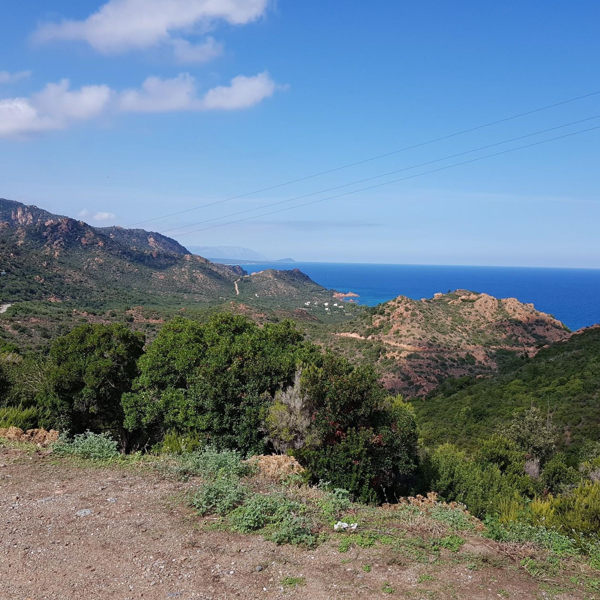
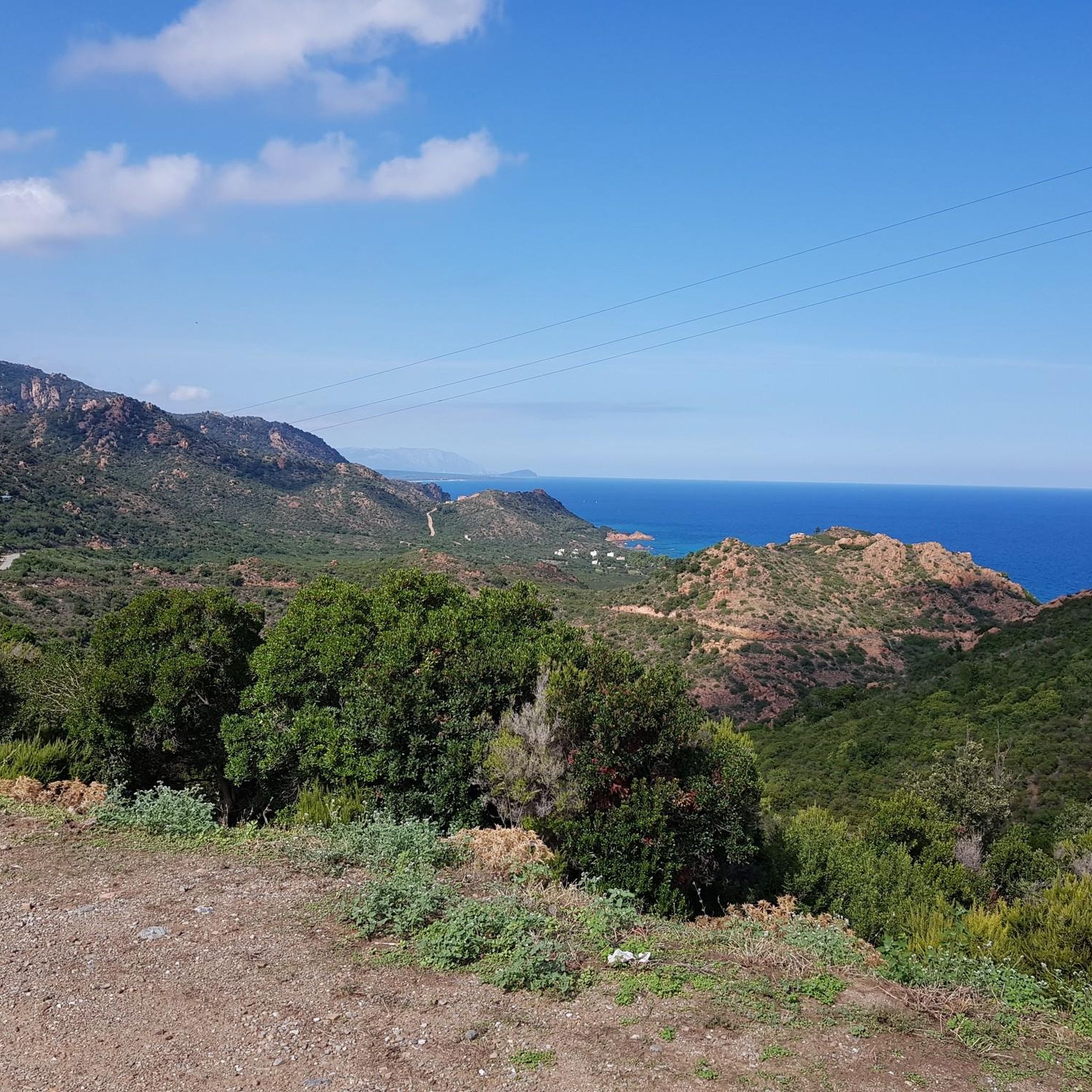
Not far from the nuraghe of Genna Didu, in the municipality of Tertenia, this panoramic point allows a great view of the Sardinian coast, the beautiful sea and even the hinterland. To reach it, you have to face a rather impervious path.
0
0

At this point on the trail there is a panoramic point that offers a breathtaking view of the crystalline waters of the Ogliastra coast.
0
0

Simply a dreamy section with a lot of solitude in October
0
0

The picture shows the way to the Piscinas, which are really worth seeing, but not the marina. This is the wrong picture for the text.
0
0

Nice sun protection to catch your breath after climbing.
0
0

Nuraghe on top of the mountain, very beautiful even if partially collapsed
0
0
Frequently Asked Questions
How many running routes are available around Gàiru/Gairo?
There are over 15 dedicated running routes around Gàiru/Gairo, offering a variety of experiences. These include paths through the rugged Gennargentu Mountains and scenic coastal trails.
Are there any easy or beginner-friendly jogging trails in Gàiru/Gairo?
While many routes in Gàiru/Gairo are moderate to difficult, there are options suitable for those looking for a less strenuous run. For example, the Is Piscinas – Coccorrocci loop from Coccorrocci is a moderate 3.7-mile trail that can be completed in about 41 minutes, offering a mix of coastal and inland scenery.
What kind of terrain can I expect on the running routes in Gàiru/Gairo?
The running routes in Gàiru/Gairo are characterized by diverse terrain, ranging from mountainous paths in the Gennargentu region to picturesque coastal trails. You'll encounter dramatic gorges, distinctive rock formations, and varied elevations, providing both challenging climbs and scenic flat sections.
Are there any circular running routes in the Gàiru/Gairo area?
Yes, many of the running routes around Gàiru/Gairo are circular, allowing you to start and finish at the same point. A notable example is The Pirincanes gorge — Ring tour in the Gennargentu Mountains, a challenging 9.1-mile loop exploring a significant gorge.
What are some scenic viewpoints or landmarks I can see while running in Gàiru/Gairo?
The region offers several stunning viewpoints and natural landmarks. You can experience coastal vistas and unique rock formations on routes like Sa Perda Stampada Rock Arch – View of the Coast loop from Coccorrocci. Other notable sights include the Scala di San Giorgio gorge and the View of Ulassai and surrounding cliffs.
Are there any running trails that feature waterfalls in Gàiru/Gairo?
Yes, Gàiru/Gairo is home to several beautiful waterfalls that can be incorporated into your running adventures. You might encounter the Pirincanes Waterfall or the Is Piscinas Pools and Waterfalls, offering refreshing sights along your route.
What do other runners say about the trails in Gàiru/Gairo?
The running routes in Gàiru/Gairo are highly regarded by the komoot community, boasting an average rating of 4.2 stars from over 50 reviews. Runners frequently praise the diverse landscapes, from challenging mountain terrain to beautiful coastal views, and the unique natural formations like rock arches and gorges.
Are there longer, more challenging running routes for experienced runners?
Absolutely. For experienced runners seeking a challenge, routes like the View of the Tertenia Coast – Sa Perda Stampada Rock Window loop from Cala 'e Luas offer a difficult 20.2-mile journey with significant elevation changes, providing a demanding and rewarding experience.
What is the best time of year to go jogging in Gàiru/Gairo?
Gàiru/Gairo offers pleasant running conditions for much of the year. Spring and autumn generally provide mild temperatures, ideal for exploring both coastal and mountain trails. Summers can be hot, especially inland, so early morning or late afternoon runs are recommended. Winters are generally mild, making it possible to run year-round, though higher mountain paths might require more preparation.
Are there any running routes that pass by the Sa Perda Stampada Rock Arch?
Yes, the iconic Sa Perda Stampada Rock Arch is a highlight on several routes. You can run past it on the Sa Perda Stampada Rock Arch loop from Coccorrocci, a difficult 3.1-mile trail that offers stunning views of this natural wonder.
What should I consider when planning a run in the Gennargentu Mountains near Gàiru/Gairo?
When running in the Gennargentu Mountains, be prepared for rugged, challenging terrain and significant elevation changes. It's advisable to carry sufficient water, wear appropriate footwear, and check weather conditions, as mountain weather can change rapidly. Routes like The Pirincanes gorge — Ring tour exemplify the demanding but rewarding nature of these trails.
Most popular routes around Gàiru/Gairo
Most popular attractions around Gàiru/Gairo

Get inspired with the komoot mobile app


Explore more
Browse the best Running Trails & Routes in other regions.
